

Bird
Eastern Brown Pelican
Pelecanus occidentalis carolinensis
Lives in Mississippi all year and nests here. Found in 3 of 82 counties, across 5 habitats.
- Here
- All year
- Nesting
- Nests here
- Range
- 3 of 82 counties
- Habitats
- 5
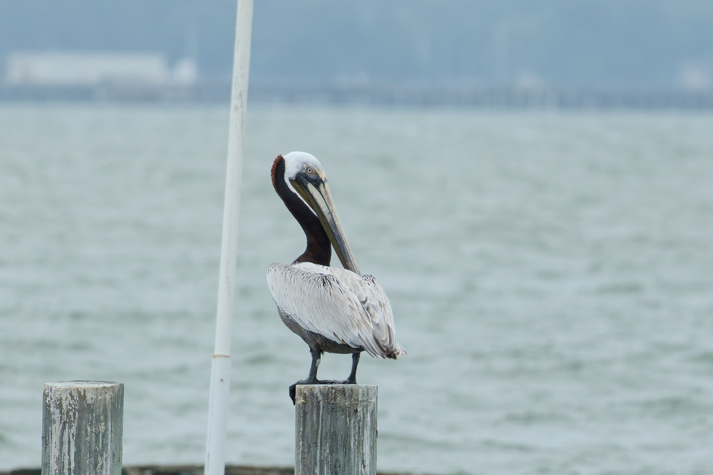
At a glance
- Group
- Birds
- Here
- All year
- Nesting
- Nests here
- Range
- 3 of 82 counties
- Habitats
- 5
- Habitat models
- Year-round
Where it lives
The places its habitat model includes. It is not found everywhere a habitat occurs.
Habitats in Mississippi 5
Each habitat page lists the plants and wildlife also found there.
Open sand of beaches, dunes and the hollows between them.
Coastal tidal marshes (salinity not stated)
Tidal marshes of the Atlantic and Gulf coasts where the source does not say whether the water is fresh, brackish or salt. A stated salinity files the marsh under freshwater tidal marshes or salt and brackish marshes instead.
Disturbed and introduced wetlands
Wet ground taken over by weedy or introduced plants after disturbance, such as common reed, Chinese tallow or tamarisk stands; the upland counterpart is roadsides, fields and disturbed ground.
Coastal marshes flooded by salty or brackish tides.
Salt and brackish open water of sounds, bays and estuaries, with the mud and sand flats and seagrass beds that tides cover and uncover; the vegetated marsh is salt and brackish marshes.
Other habitats in its models (17)
Land cover, or classes with no habitat page in Mississippi. Those recorded in Mississippi first, the rest by region.
Elsewhere in the South (13)
- Atlantic Coastal Plain Central Salt and Brackish Tidal Marsh Year-round.
- Atlantic Coastal Plain Embayed Region Tidal Salt and Brackish Marsh Year-round.
- Atlantic Coastal Plain Indian River Lagoon Tidal Marsh Year-round.
- Atlantic Coastal Plain Sea Island Beach Year-round.
- Atlantic Coastal Plain Southern Beach Year-round.
- Atlantic Coastal Plain Southern Dune and Maritime Grassland Year-round.
- Florida Big Bend Salt-Brackish Tidal Marsh Year-round.
- South Florida Everglades Sawgrass Marsh Year-round.
- South Florida Mangrove Swamp Year-round.
- South Florida Shell Hash Beach Year-round.
- Southeast Florida Beach Year-round.
- Southwest Florida Beach Year-round.
- Southwest Florida Dune and Coastal Grassland Year-round.
Northeast (2)
- Atlantic Coastal Plain Northern Tidal Salt Marsh Year-round.
- Northern Atlantic Coastal Plain Dune and Swale Year-round.
Land cover and other classes (2)
- Unconsolidated Shore Year-round.
- Unconsolidated Shore (Lake/River/Pond) Year-round.
Seasons in Mississippi
- Year-round: nests here, in 3 of 82 counties.
Also found in its main habitats
Its main habitats in Mississippi, by how much of its habitat model each one is, with the birds most characteristic of each and the plants that grow wild there. Shared habitat, not food.
Coastal dunes and beaches
Birds 127
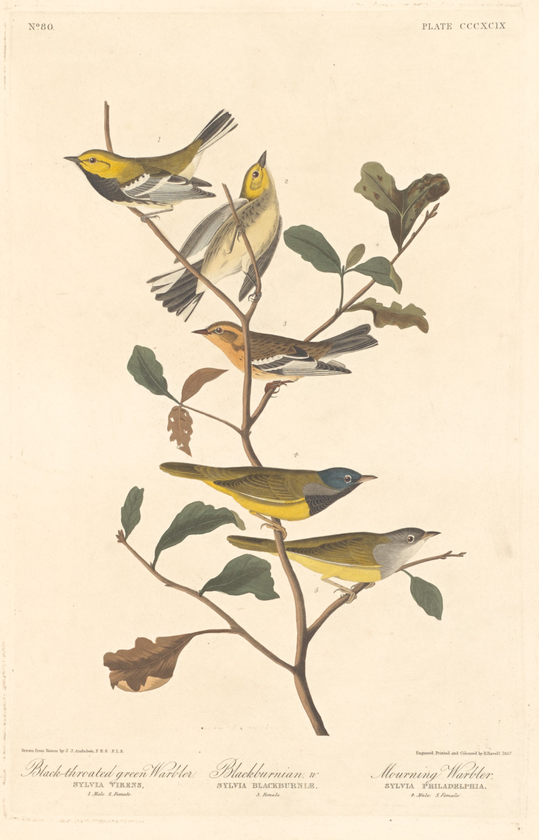
- Black-throated Green WarblerDendroica virens
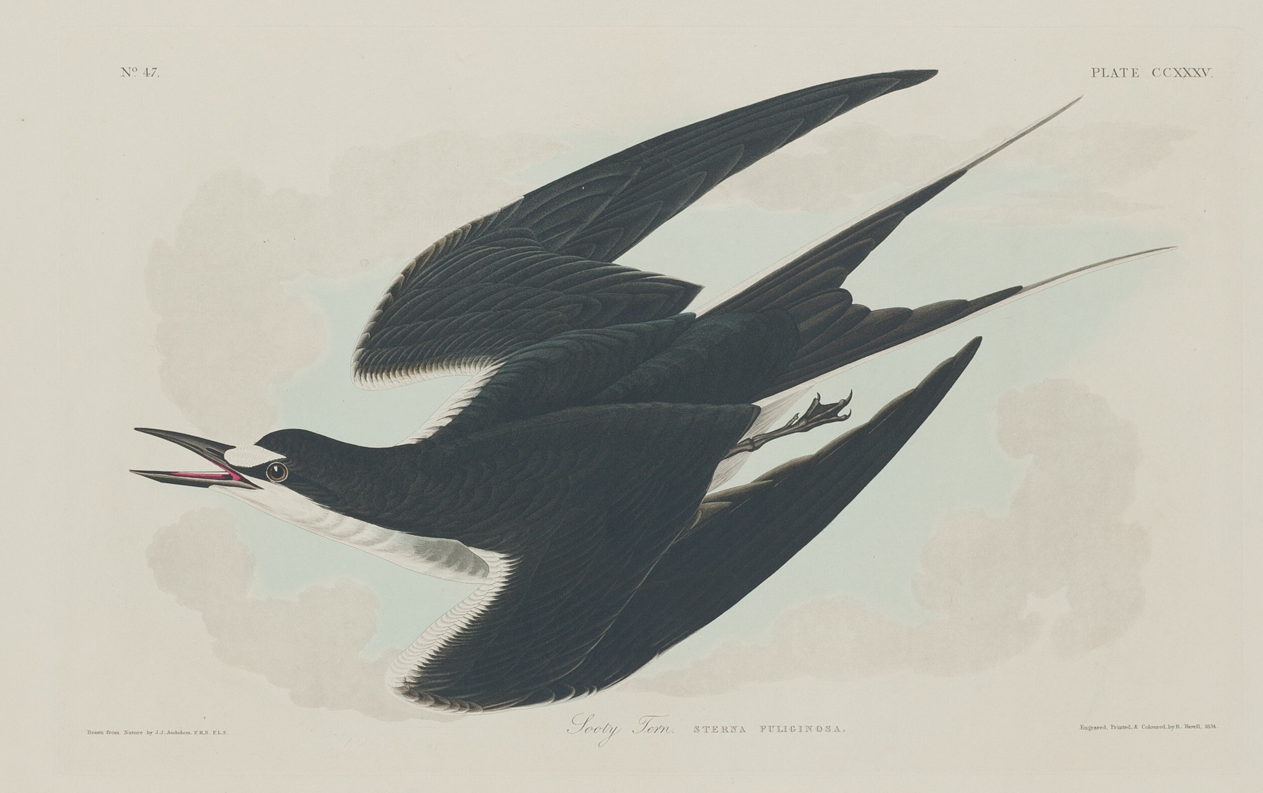
- Sooty TernOnychoprion fuscatus
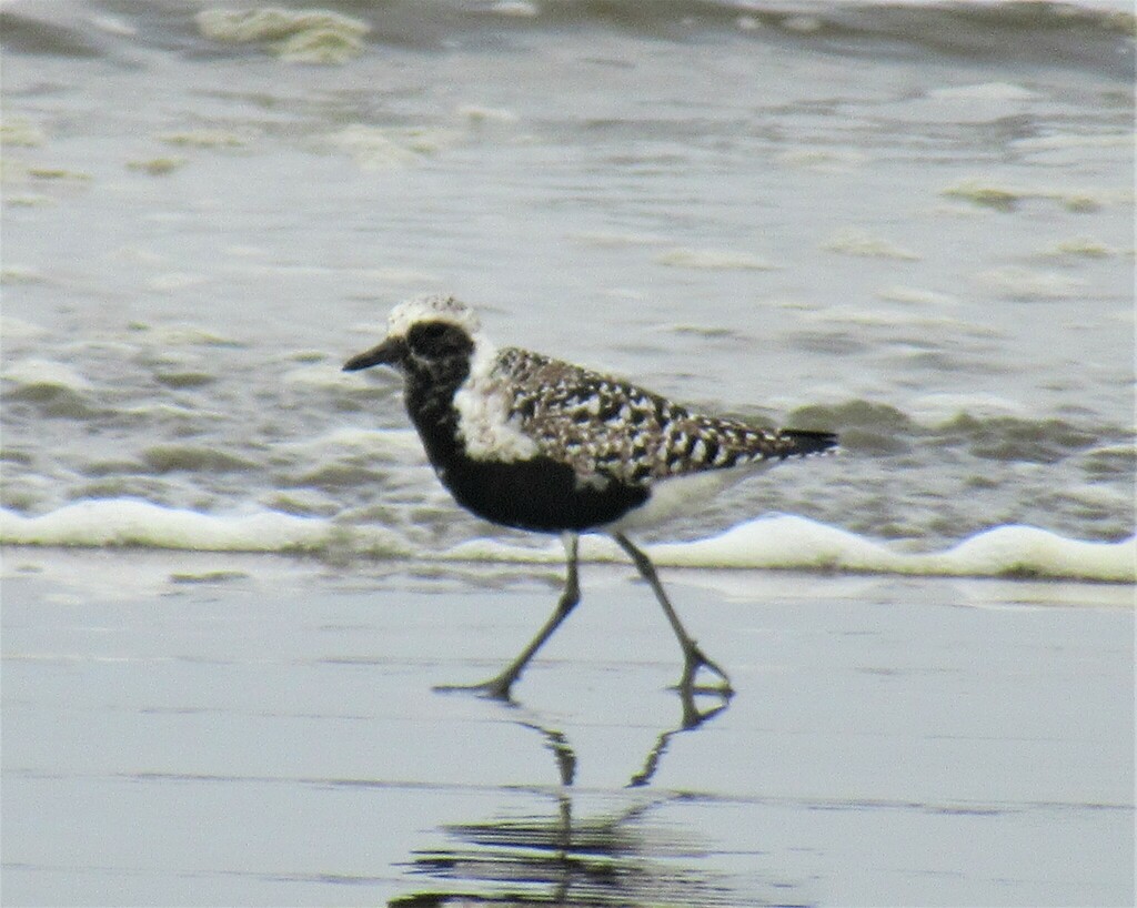
- Black-bellied PloverPluvialis squatarola
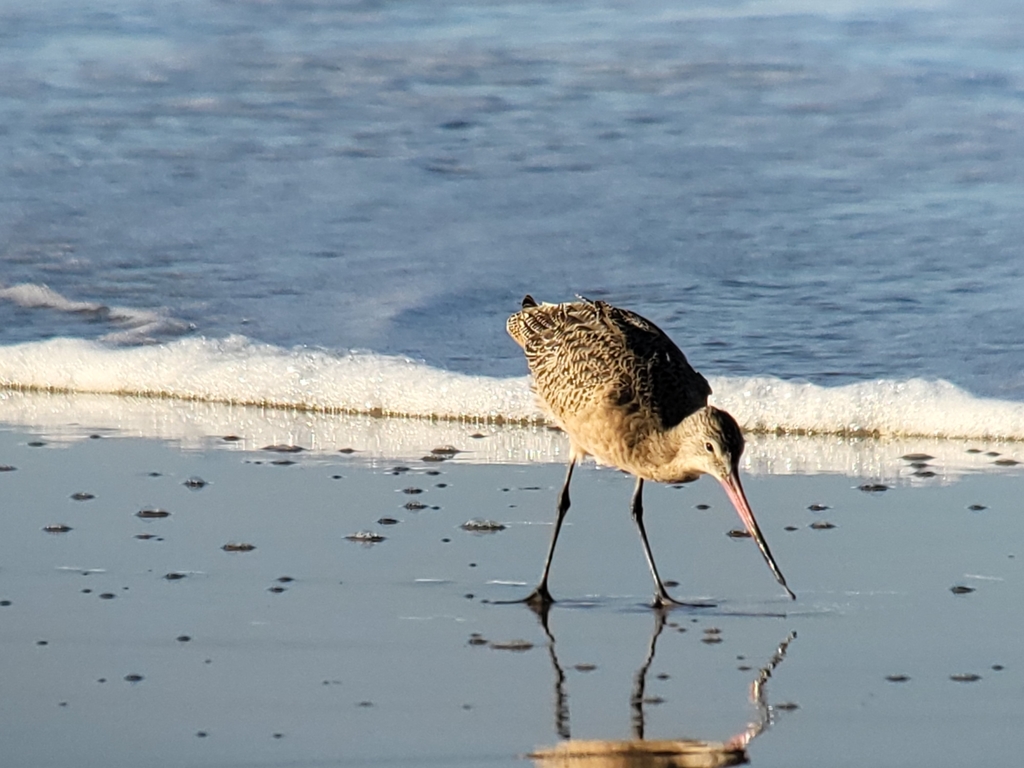
- Marbled GodwitLimosa fedoa
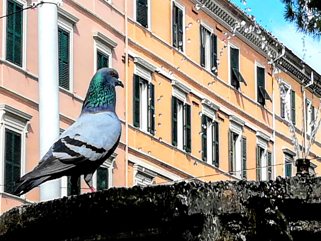
- Rock PigeonColumba livia
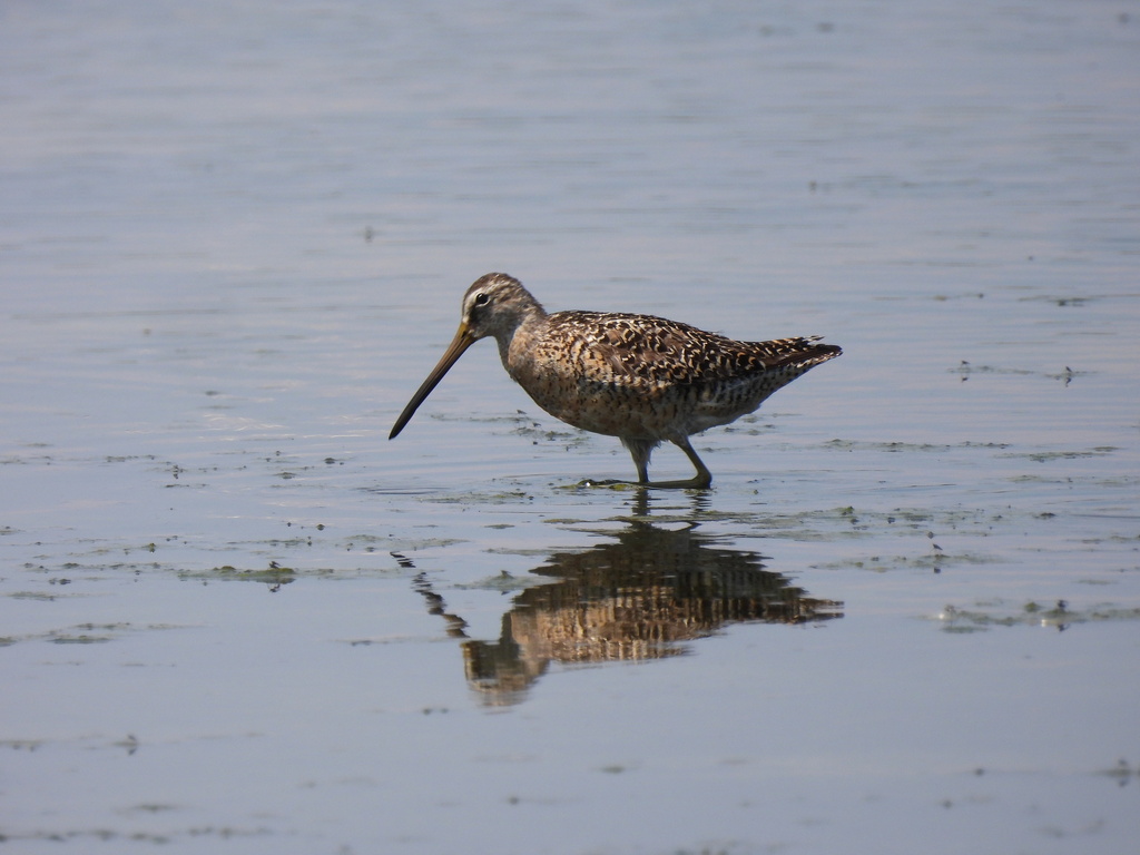
- Short-billed DowitcherLimnodromus griseus
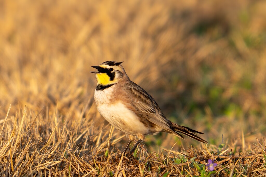
- Horned LarkEremophila alpestris
- KilldeerCharadrius vociferus
- Nelson's Sharp-tailed SparrowAmmodramus nelsoni
- Purple MartinProgne subis
- Red KnotCalidris canutus
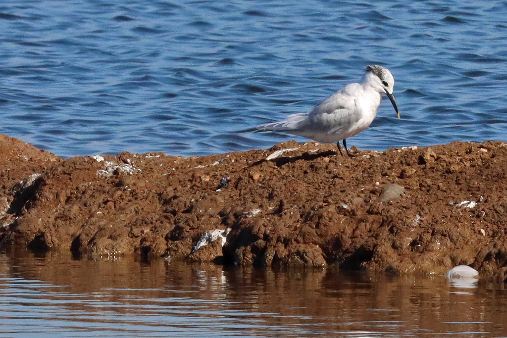
- Sandwich TernThalasseus sandvicensis
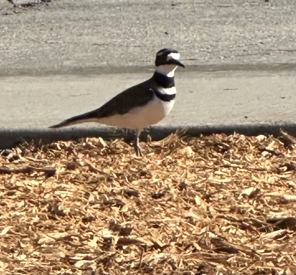
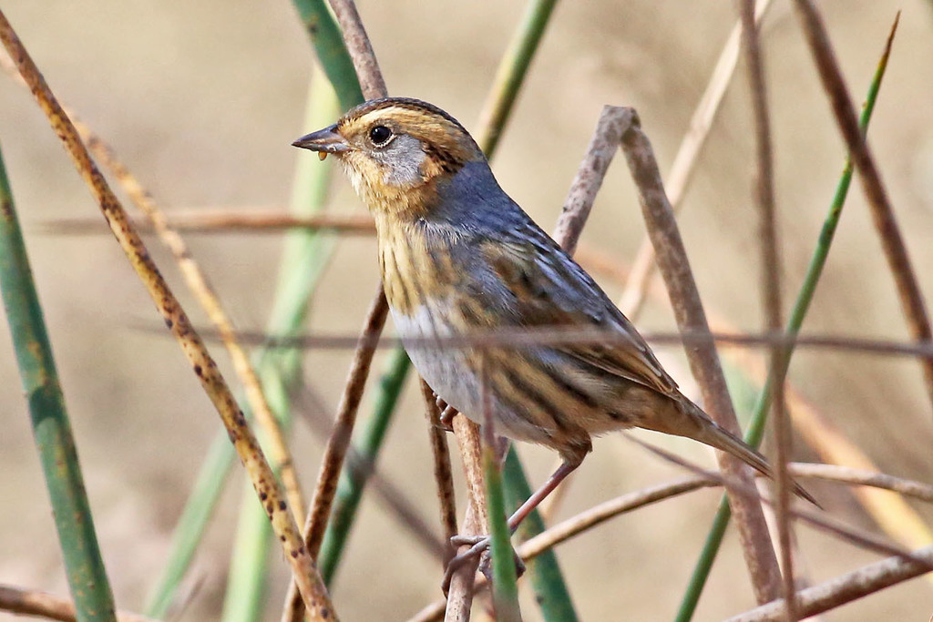
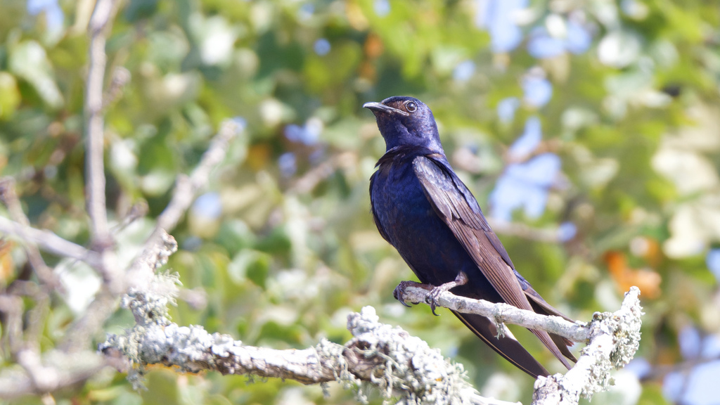
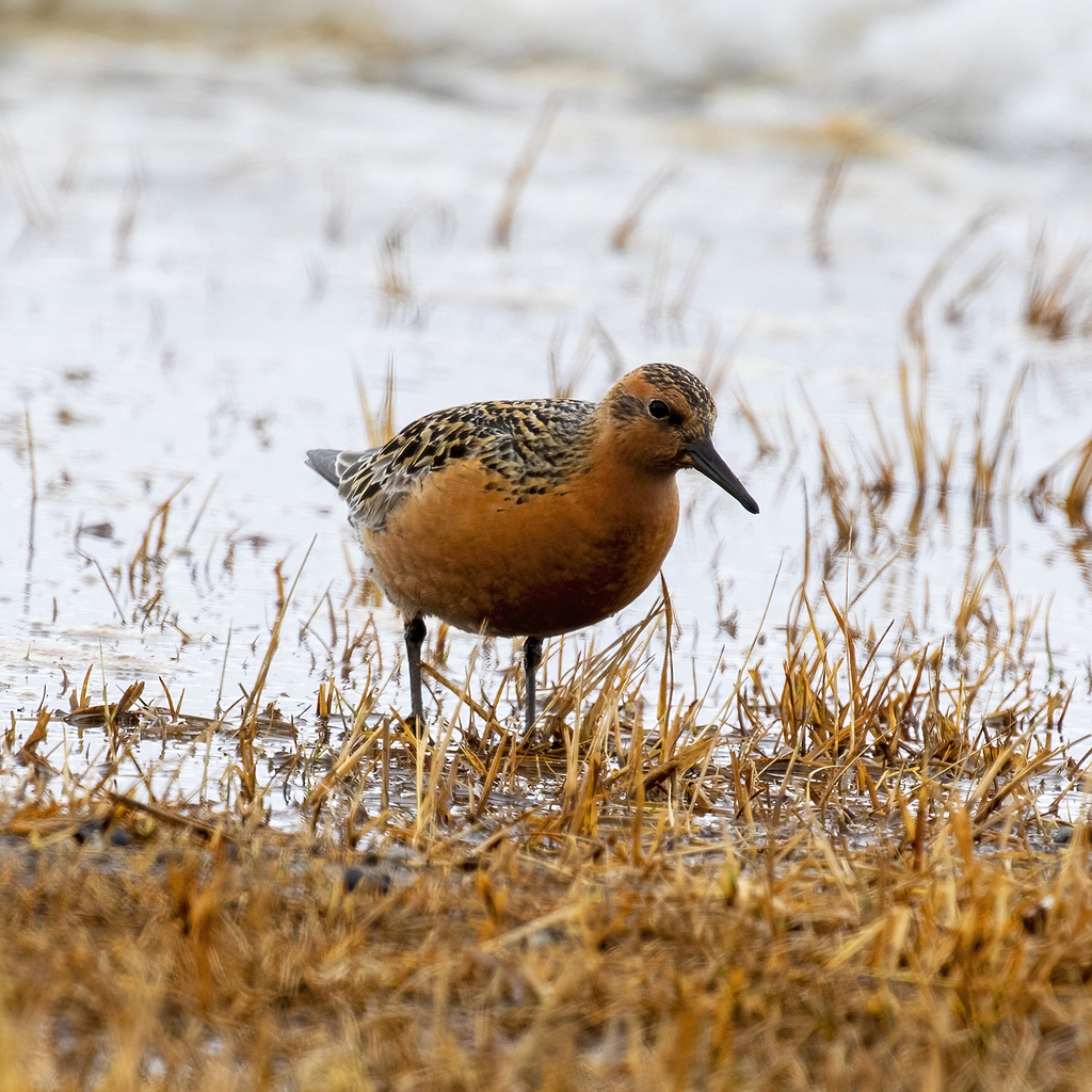
Plants 118
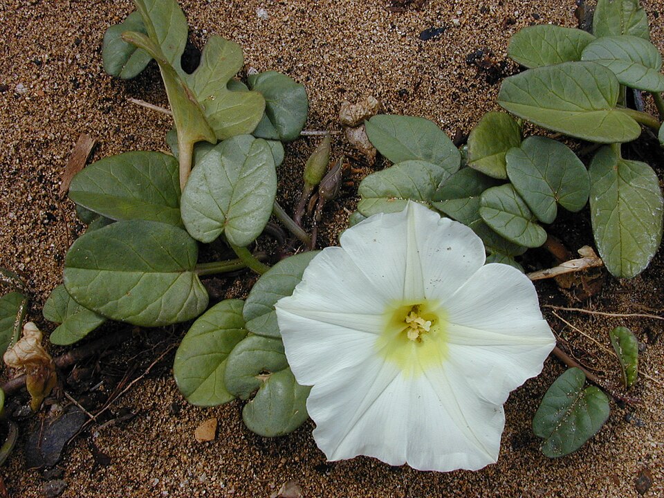
- Beach Morning-gloryIpomoea imperati
- Ipomoea cordatotriloba var. cordatotrilobaIpomoea cordatotriloba var. cordatotriloba
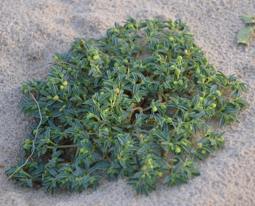
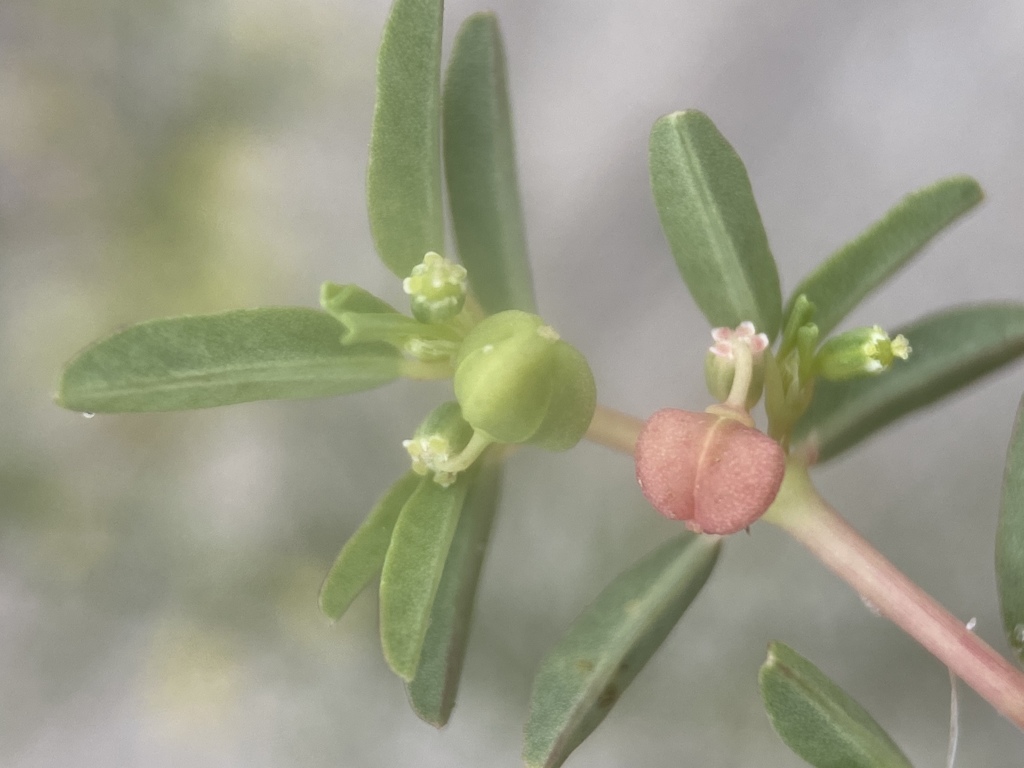
- Northern Seaside SpurgeEuphorbia polygonifolia
- Southern Seaside SpurgeEuphorbia bombensis
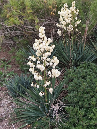
- Mound-lily YuccaYucca gloriosa
- Agalinis harperiAgalinis harperi
- Panicum amarum var. amarumPanicum amarum var. amarum
- Rough American Barnyard GrassEchinochloa muricata var. muricata
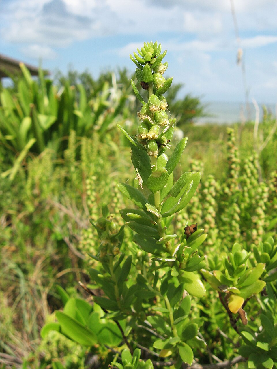
- Northern Seabeach OrachAtriplex mucronata
- Atriplex cristataAtriplex cristata
- Dune Marsh-elderIva imbricata
- Pinewoods FingergrassEustachys petraea
Disturbed and introduced wetlands
Birds 158
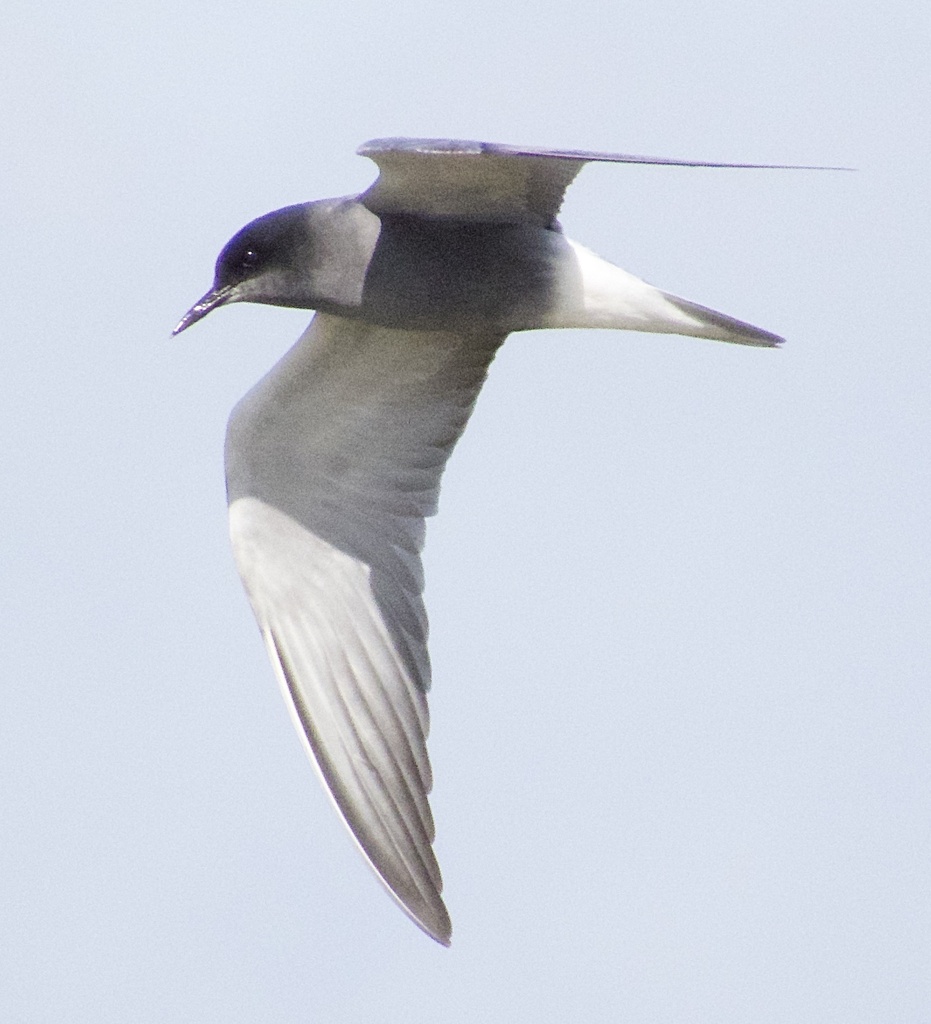
- Black TernChlidonias niger
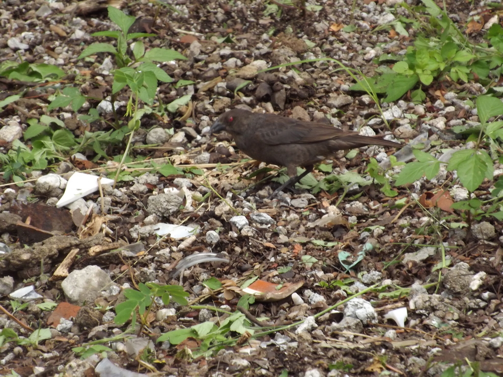
- Bronzed CowbirdMolothrus aeneus
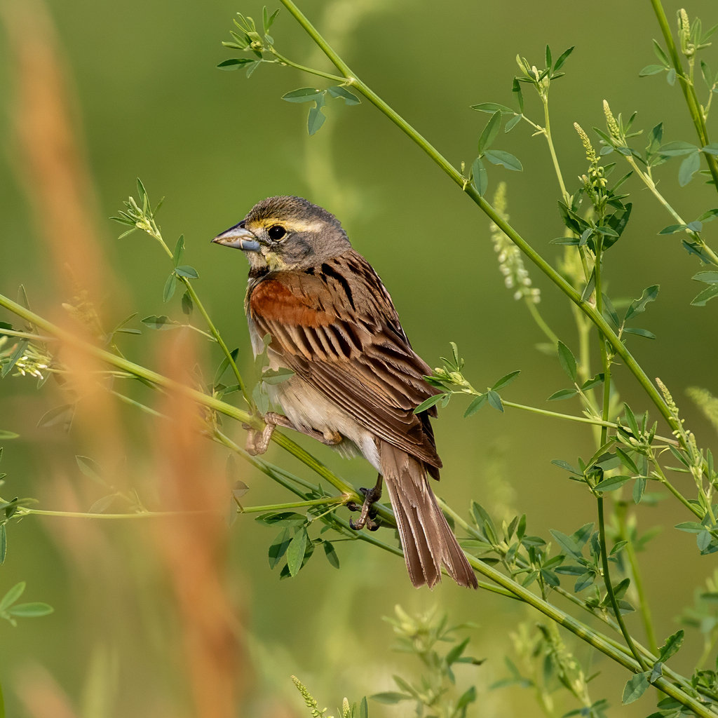
- DickcisselSpiza americana
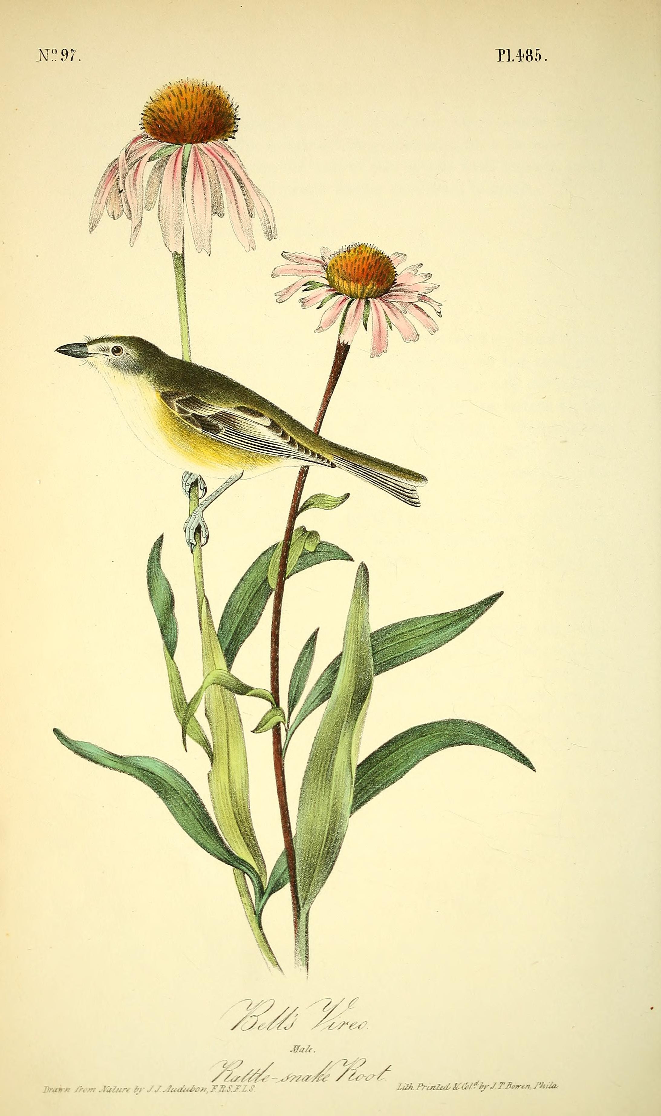
- Bell's VireoVireo bellii
- Black-bellied PloverPluvialis squatarola
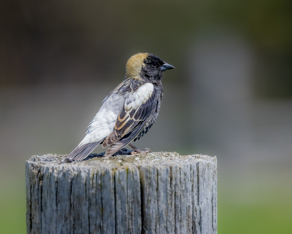
- BobolinkDolichonyx oryzivorus
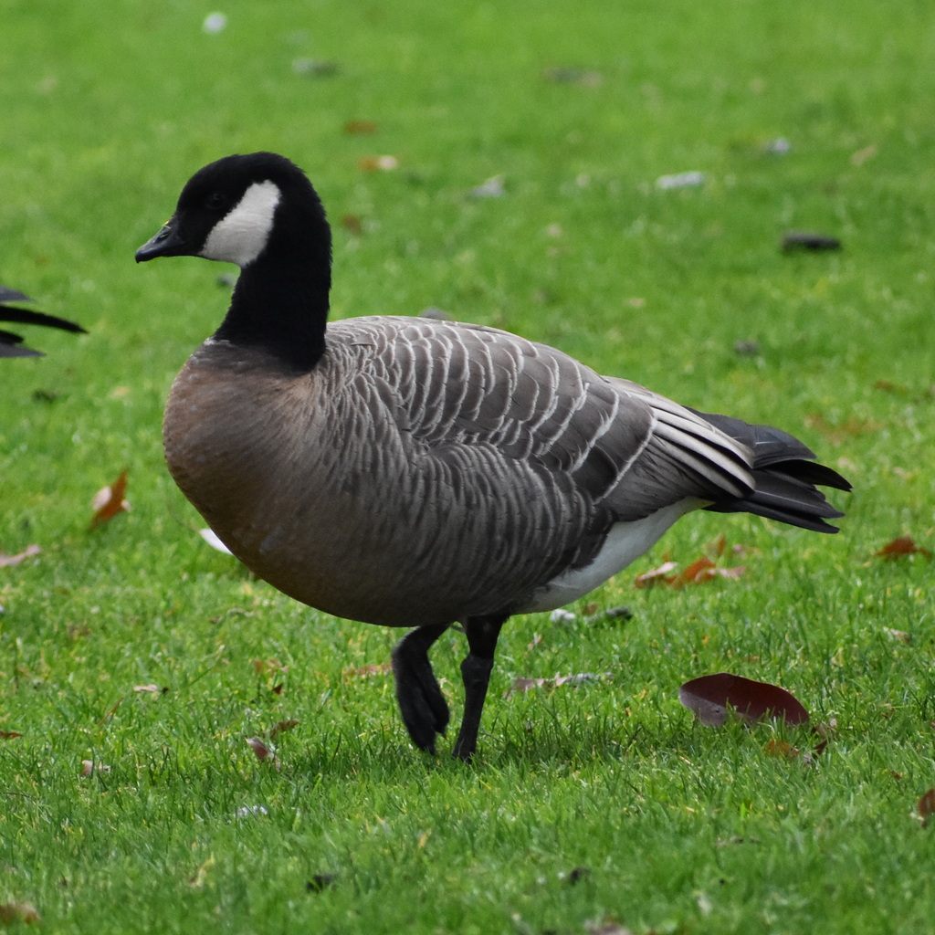
- Cackling GooseBranta hutchinsii
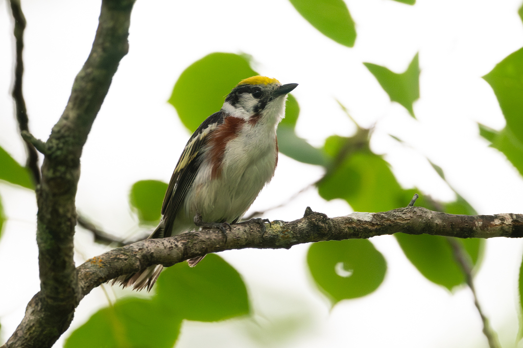
- Chestnut-sided WarblerDendroica pensylvanica
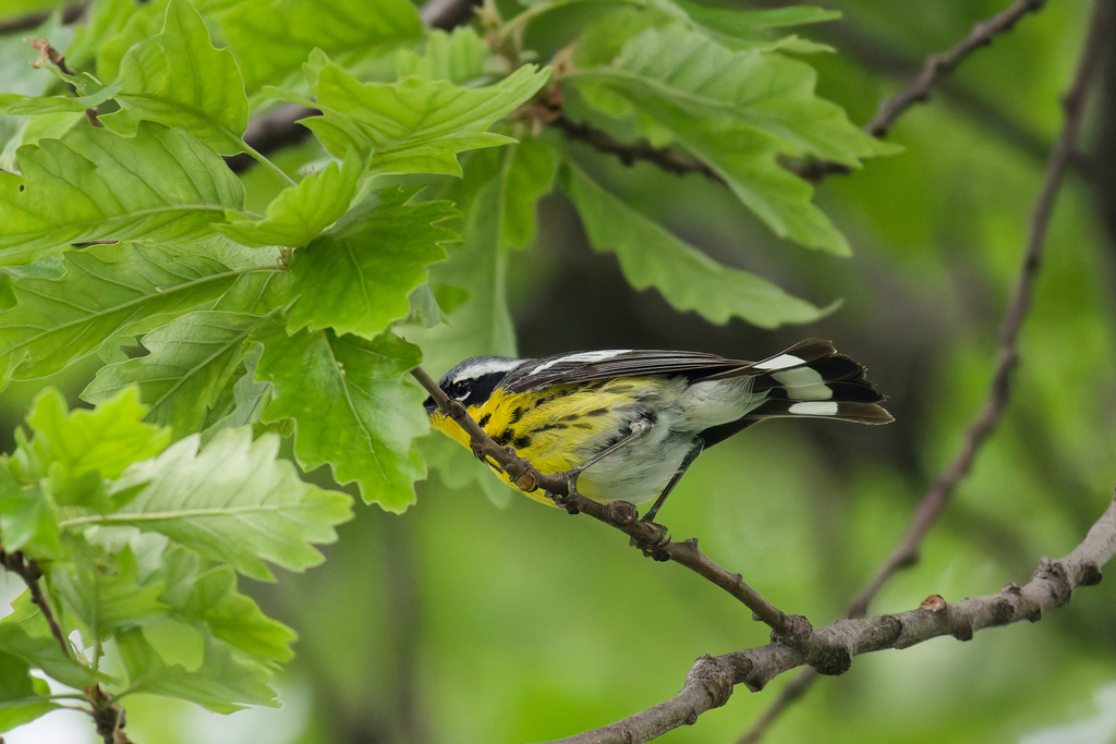
- Magnolia WarblerDendroica magnolia
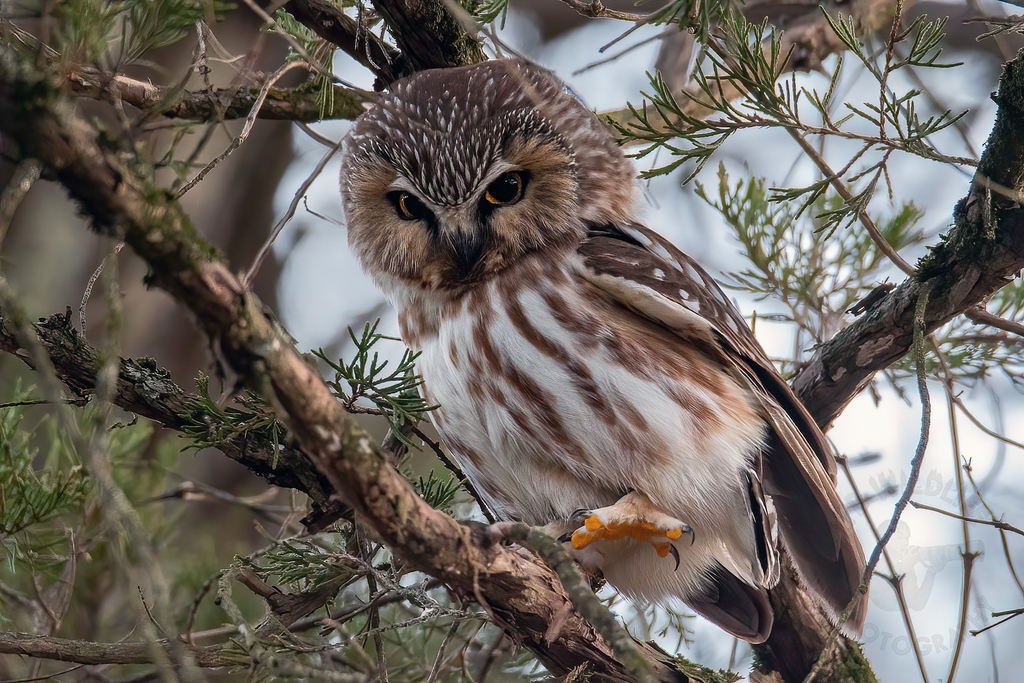
- Northern Saw-whet OwlAegolius acadicus
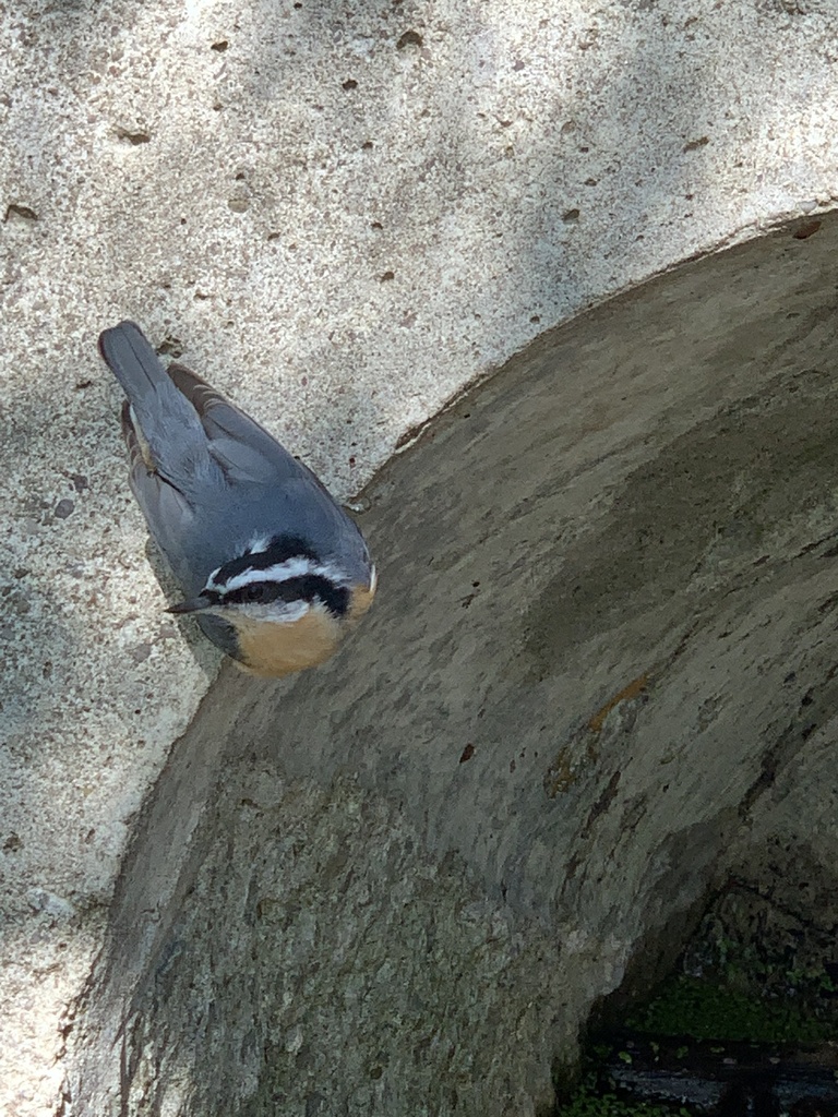
- Red-breasted NuthatchSitta canadensis
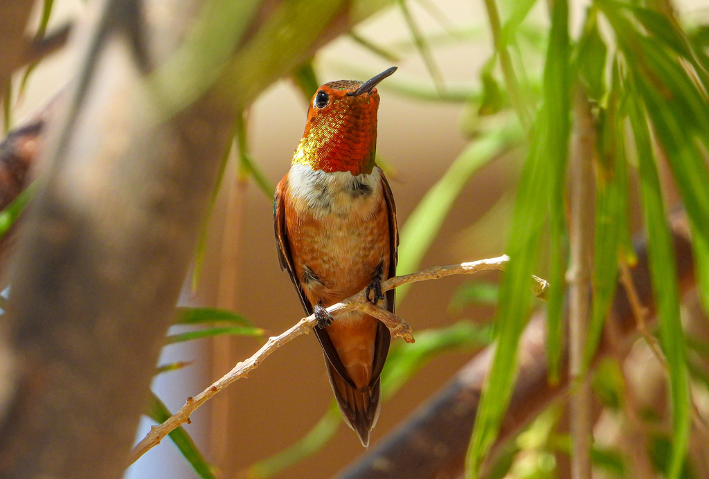
- Rufous HummingbirdSelasphorus rufus
Plants 26
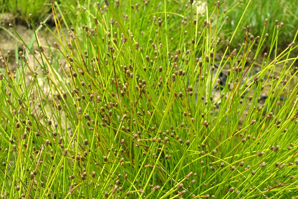
- Slender FimbryFimbristylis autumnalis
- Intermediate Spike RushEleocharis intermedia
- Purple SpikerushEleocharis atropurpurea
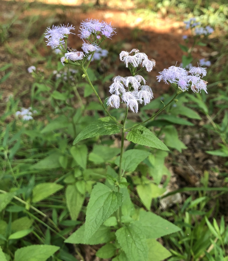
- Blue MistflowerConoclinium coelestinum
- BagpodGlottidium vesicarium
- Cyperus ochraceusCyperus ochraceus
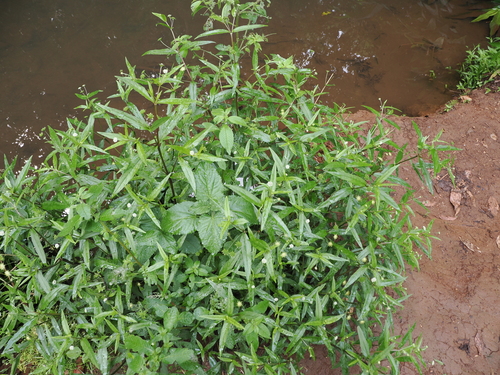
- False DaisyEclipta prostrata
- Blunt Spike RushEleocharis obtusa
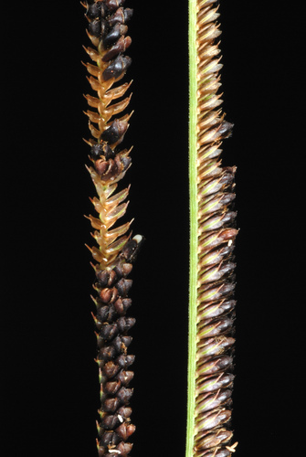
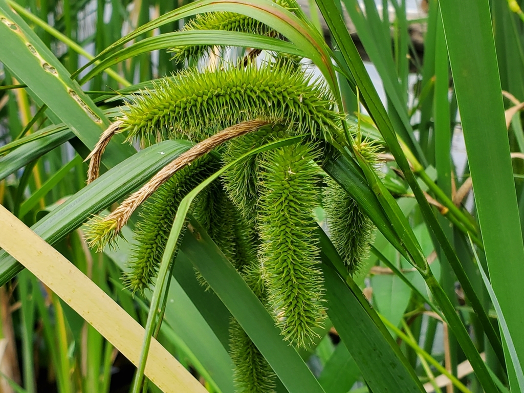
- Bristly SedgeCarex comosa
- Shortbeak BeaksedgeRhynchospora nitens
- Southern Marsh YellowcressRorippa teres
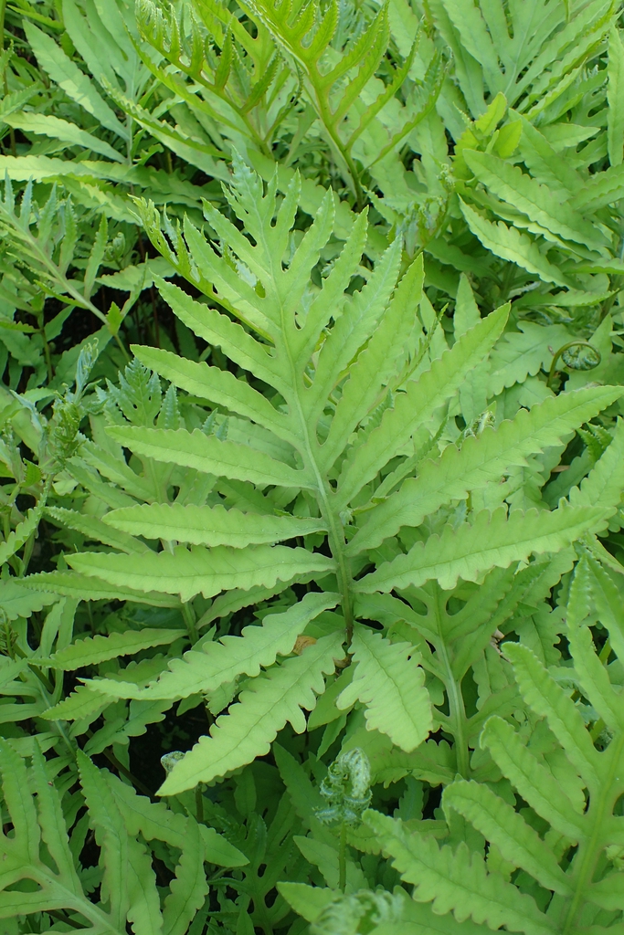
- Sensitive FernOnoclea sensibilis
Coastal tidal marshes (salinity not stated)
Birds 89
- Marbled GodwitLimosa fedoa
- Short-billed DowitcherLimnodromus griseus
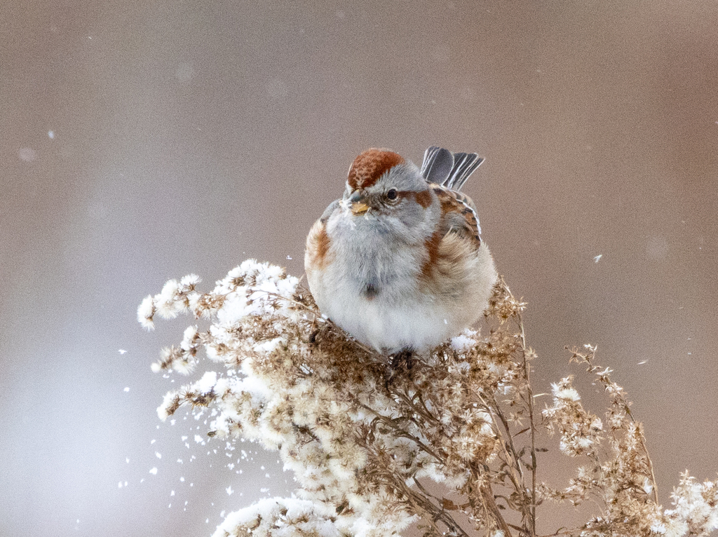
- American Tree SparrowSpizella arborea
- KilldeerCharadrius vociferus
- Nelson's Sharp-tailed SparrowAmmodramus nelsoni
- Red KnotCalidris canutus
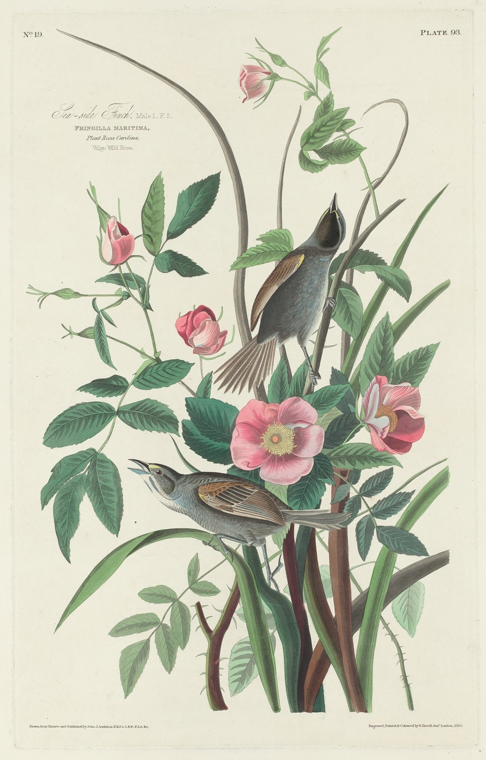
- Seaside SparrowAmmodramus maritimus
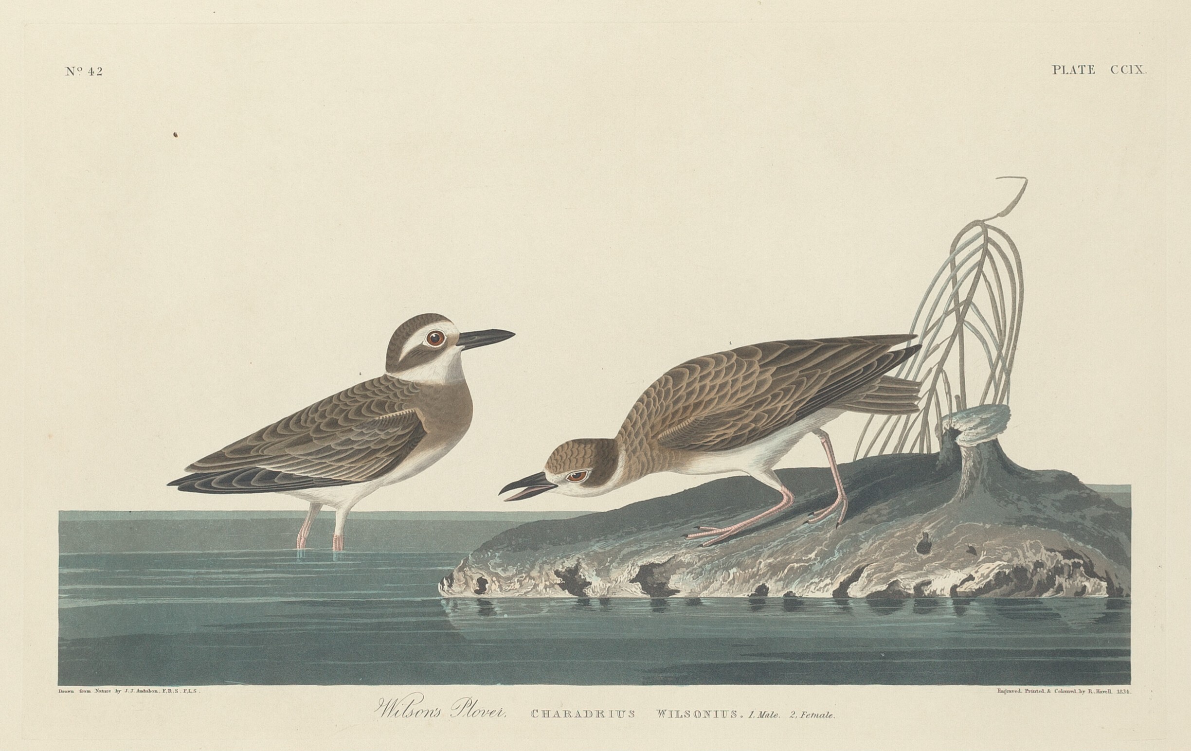
- Wilson's PloverCharadrius wilsonia
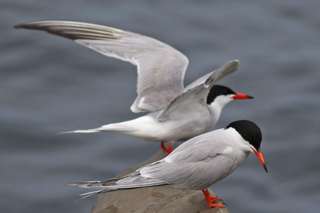
- Common TernSterna hirundo
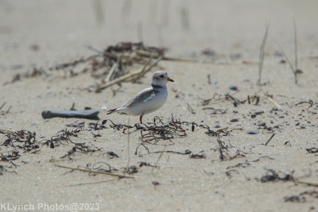
- Piping PloverCharadrius melodus
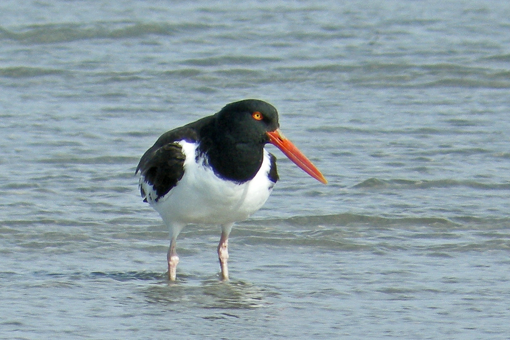
- American OystercatcherHaematopus palliatus
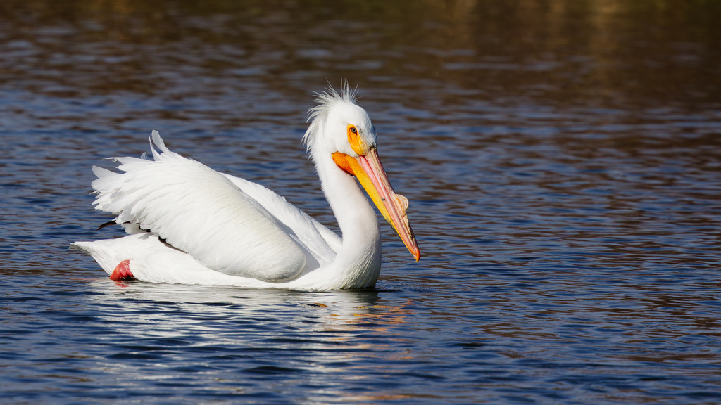
- American White PelicanPelecanus erythrorhynchos
Plants 30
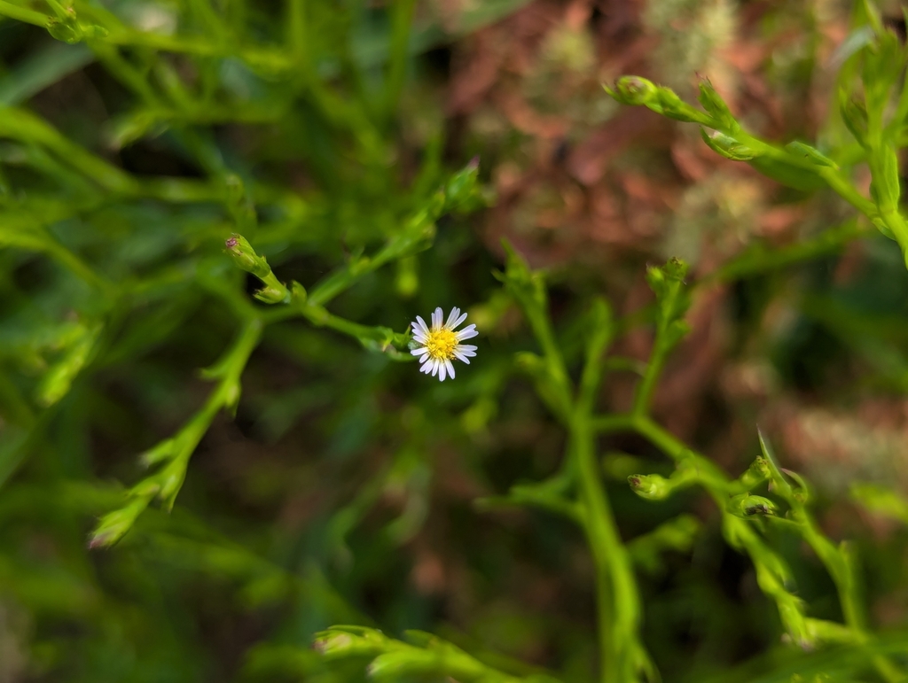
- Annual Saltmarsh AsterSymphyotrichum subulatum
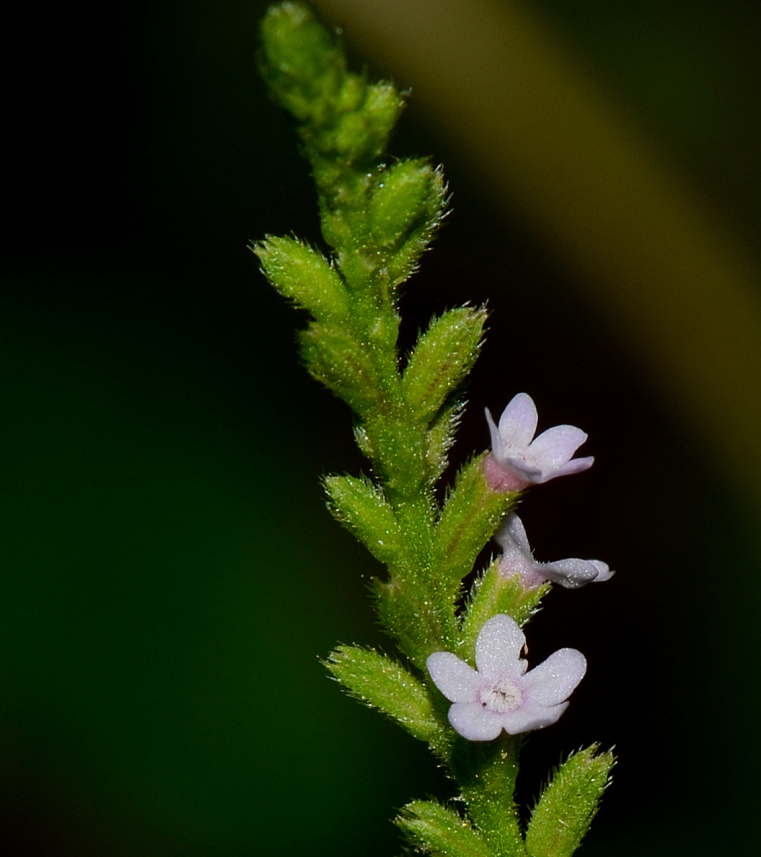
- Sandpaper VervainVerbena scabra
- Dwarf ArrowheadSagittaria subulata
- Black NeedlerushJuncus roemerianus
- Carolina Sea-lavenderLimonium carolinianum
- Southern Water-hempAmaranthus australis
- Shoreline SedgeCarex hyalinolepis
- Pink RedstemAmmannia latifolia
- Solidago sempervirens var. mexicanaSolidago sempervirens var. mexicana
- Grassy ArrowheadSagittaria graminea
- Giant BristlegrassSetaria magna
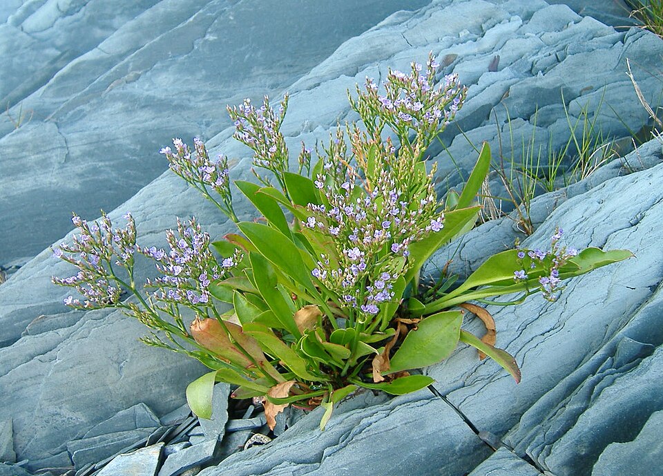
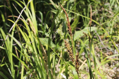
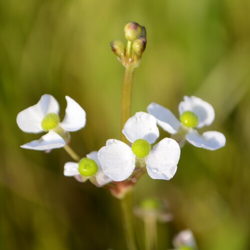
All of coastal tidal marshes (salinity not stated) in Mississippi
Sources
- USGS Gap Analysis Project habitat models (2001)
- USGS GAP year-round habitat model for Eastern Brown Pelican
- USGS Gap Analysis Project range maps (2001), modeled by watershed; migratory gives no dates
- NatureServe Explorer (CC BY 4.0), habitat names
- US Census TIGER/Line counties
- Names follow the USGS Gap Analysis Project (2001)