

Bird
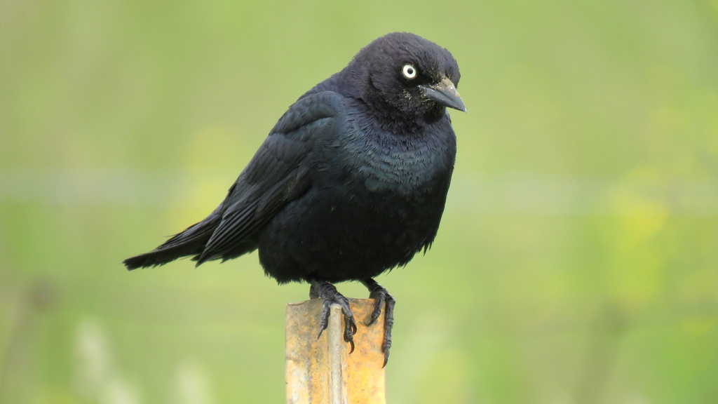
Brewer's Blackbird
Euphagus cyanocephalus
A winter visitor to Mississippi, found in all 82 counties and 8 habitats.
- Here
- Winter
- Nesting
- Not known to nest here
- Range
- All 82 counties
- Habitats
- 8
At a glance
- Group
- Birds
- Here
- Winter
- Nesting
- Not known to nest here
- Range
- All 82 counties
- Habitats
- 8
- Habitat models
- Winter
Where it lives
The places its habitat model includes. It is not found everywhere a habitat occurs.
Habitats in Mississippi 8
Each habitat page lists the plants and wildlife also found there.
Open sand of beaches, dunes and the hollows between them.
Coastal tidal marshes (salinity not stated)
Tidal marshes of the Atlantic and Gulf coasts where the source does not say whether the water is fresh, brackish or salt. A stated salinity files the marsh under freshwater tidal marshes or salt and brackish marshes instead.
Disturbed and introduced wetlands
Wet ground taken over by weedy or introduced plants after disturbance, such as common reed, Chinese tallow or tamarisk stands; the upland counterpart is roadsides, fields and disturbed ground.
Floodplain and bottomland forests
Forests on low ground beside rivers and streams that flood from time to time.
Open, grass-dominated places kept open by fire, grazing or thin soil, from tallgrass prairie to Piedmont prairies.
Roadsides, fields and disturbed ground
Ground opened by people: roadsides, old fields, pastures, fencerows and lots.
Coastal marshes flooded by salty or brackish tides.
Forested wetlands with standing water much of the year, such as cypress and gum swamps.
Other habitats in its models (35)
Land cover, or classes with no habitat page in Mississippi.
- Developed, Low Intensity Winter.
- Developed, Medium Intensity Winter.
- Atlantic Coastal Plain Southern Beach Winter.
- Unconsolidated Shore (Lake/River/Pond) Winter.
- Unconsolidated Shore Winter.
- Central and South Texas Coastal Fringe Forest and Woodland Winter.
- West Gulf Coastal Plain Chenier and Upper Texas Coastal Fringe Forest and Woodland Winter.
- Mississippi River Alluvial Plain Dry-Mesic Loess Slope Forest Winter.
- East-Central Texas Plains Riparian Forest Winter.
- Lower Mississippi River Dune Woodland and Forest Winter.
- Southern Piedmont Dry Oak-(Pine) Forest - Hardwood Modifier Winter.
- East Gulf Coastal Plain Black Belt Calcareous Prairie and Woodland - Woodland Modifier Winter.
- West Gulf Coastal Plain Upland Longleaf Pine Forest and Woodland Winter.
- Southeastern Interior Longleaf Pine Woodland Winter.
- West Gulf Coastal Plain Sandhill Oak and Shortleaf Pine Forest and Woodland Winter.
- East Gulf Coastal Plain Interior Upland Longleaf Pine Woodland - Offsite Hardwood Modifier Winter.
- East Gulf Coastal Plain Interior Upland Longleaf Pine Woodland - Loblolly Modifier Winter.
- East Gulf Coastal Plain Interior Upland Longleaf Pine Woodland - Open Understory Modifier Winter.
- East Gulf Coastal Plain Interior Upland Longleaf Pine Woodland - Scrub/Shrub Modifier Winter.
- Nashville Basin Limestone Glade Winter.
- Arkansas Valley Prairie and Woodland Winter.
- Southern Blackland Tallgrass Prairie Winter.
- Texas-Louisiana Coastal Prairie Winter.
- Florida Big Bend Fresh-Oligohaline Tidal Marsh Winter.
- West Gulf Coastal Plain Near-Coast Large River Swamp Winter.
- Texas Saline Coastal Prairie Winter.
- East Gulf Coastal Plain Southern Depression Pondshore Winter.
- Southern Piedmont Large Floodplain Forest - Forest Modifier Winter.
- East Gulf Coastal Plain Large River Floodplain Forest - Herbaceous Modifier Winter.
- South-Central Interior Large Floodplain - Herbaceous Modifier Winter.
- West Gulf Coastal Plain Small Stream and River Forest Winter.
- West Gulf Coastal Plain Large River Floodplain Forest Winter.
- Southern Piedmont Small Floodplain and Riparian Forest Winter.
- Texas-Louisiana Coastal Prairie Slough Winter.
- Lower Mississippi River Flatwoods Winter.
Seasons in Mississippi
- Winter: does not nest here, in all 82 counties.
Also found in this habitat
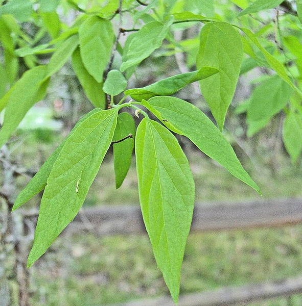
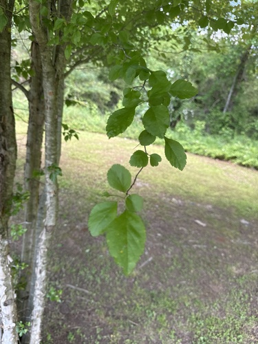
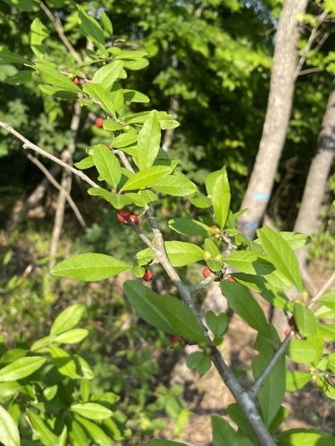
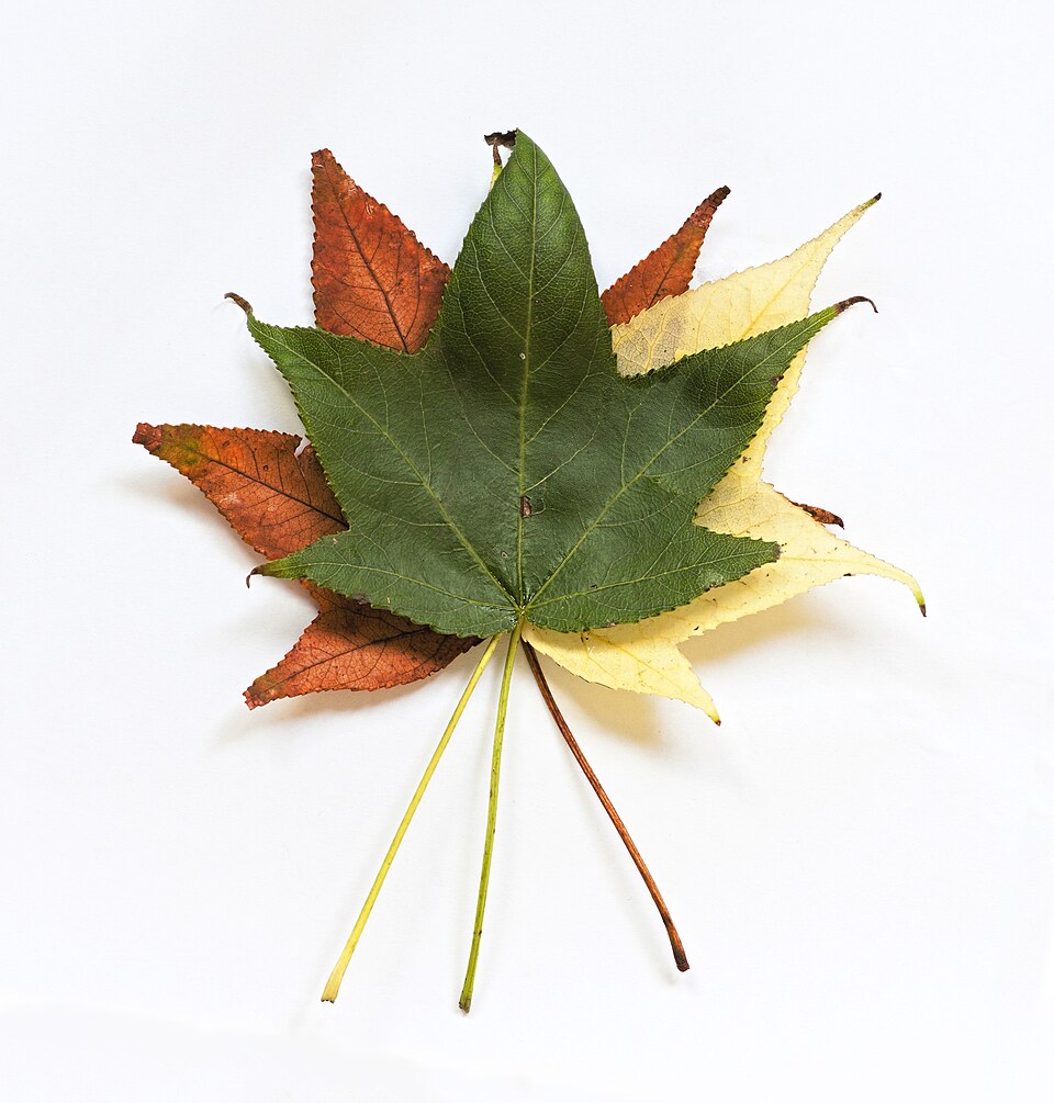
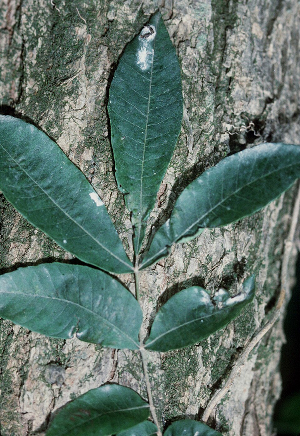
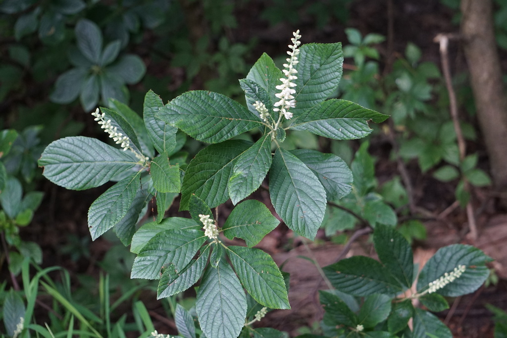
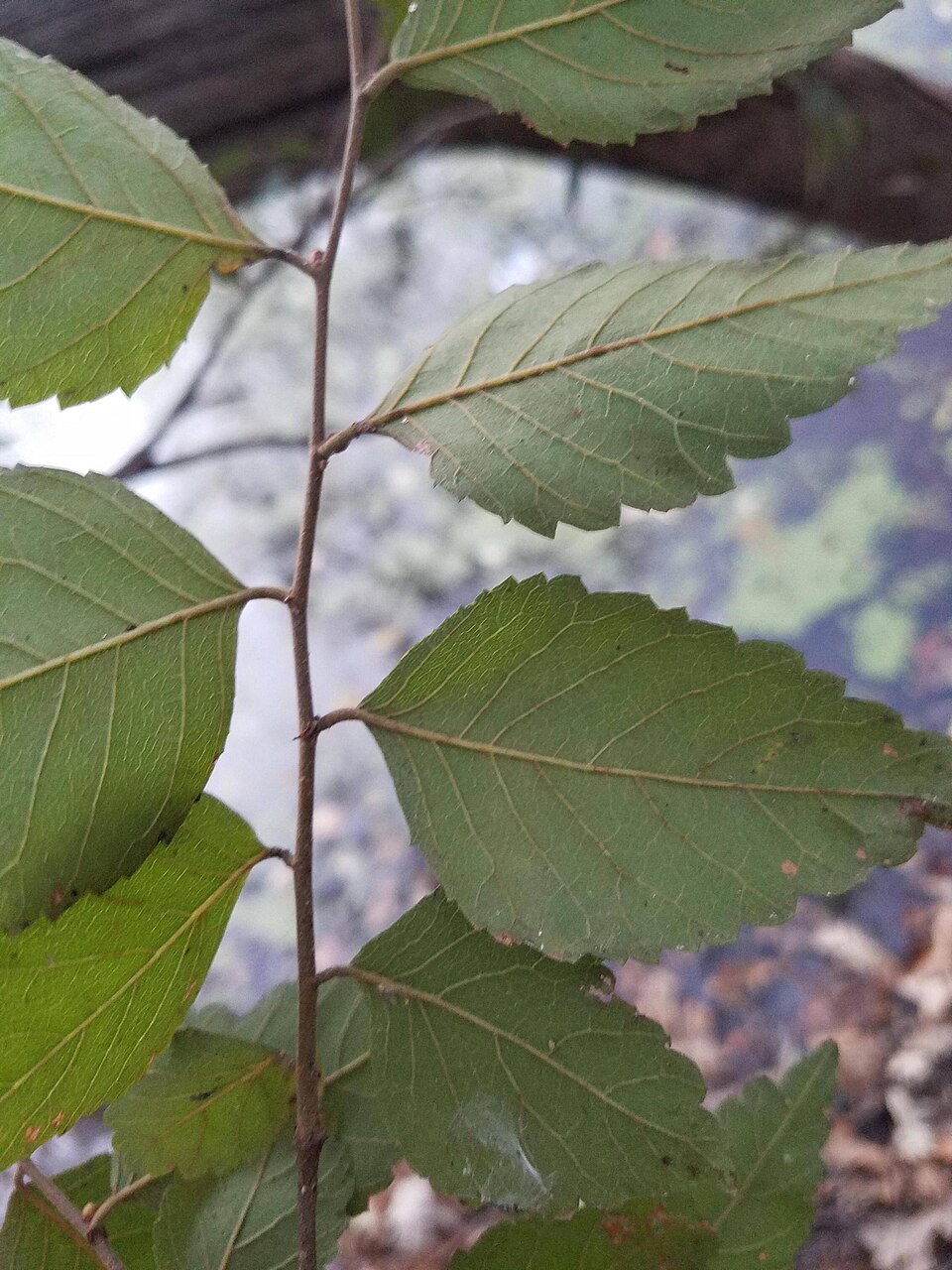
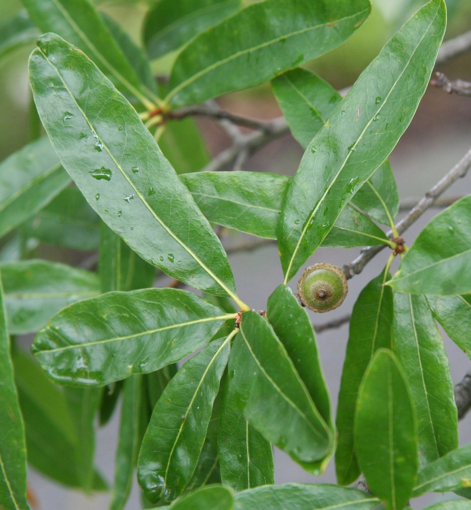
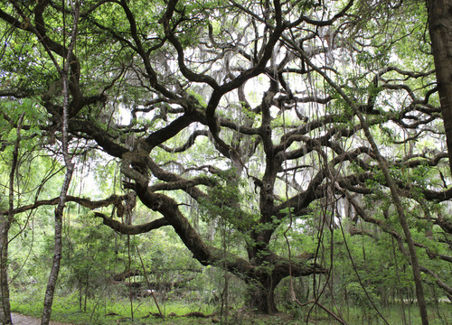
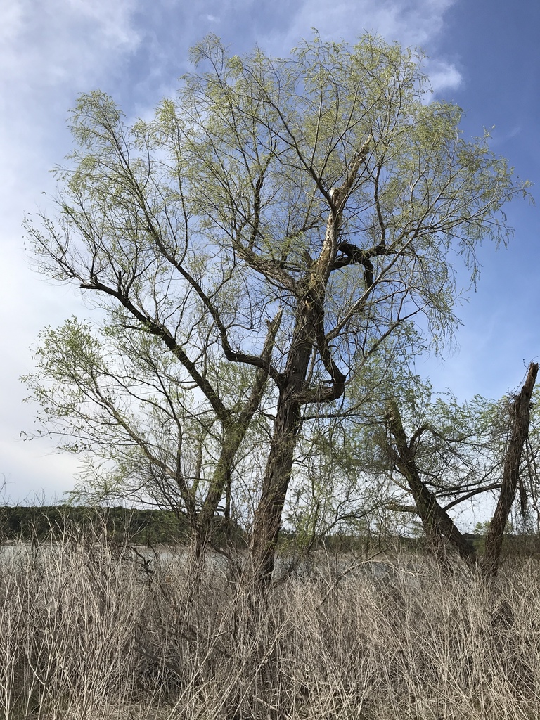
Plants 334
Plants named in NatureServe descriptions of these habitats that grow in Mississippi. Shared habitat, not food.
- False NettleBoehmeria cylindrica
- SugarberryCeltis laevigata
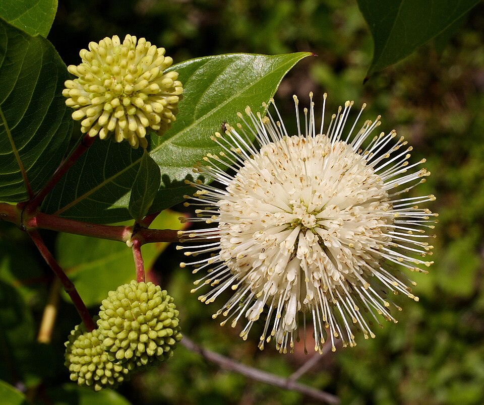
- ButtonbushCephalanthus occidentalis
- Green HawthornCrataegus viridis
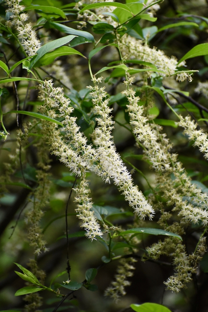
- Eastern Swamp PrivetForestiera acuminata
- Possumhaw HollyIlex decidua
- SweetgumLiquidambar styraciflua
- Common WaxmyrtleMorella cerifera
- Water HickoryCarya aquatica
- Coastal Sweet-pepperbushClethra alnifolia
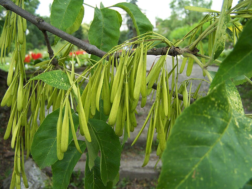
- Green AshFraxinus pennsylvanica
- Virginia SweetspireItea virginica
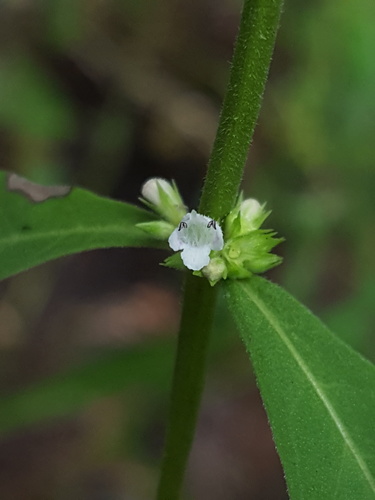
- Taperleaf BugleweedLycopus rubellus
- Water TupeloNyssa aquatica
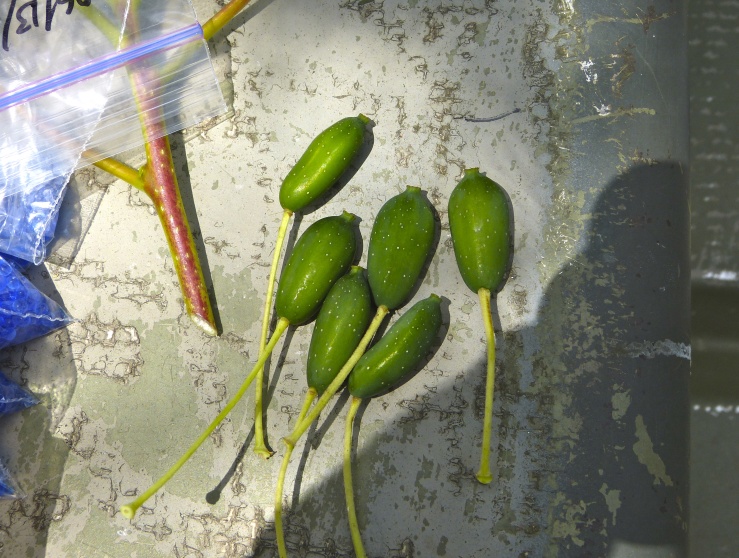
- Planer-treePlanera aquatica
- Willow OakQuercus phellos
- Live OakQuercus virginiana
- Black WillowSalix nigra
- Serenoa repensSerenoa repens
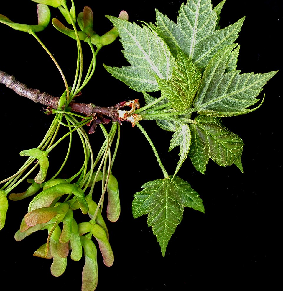
- Red MapleAcer rubrum
- Drummonds Red MapleAcer rubrum var. drummondii
- Giant CaneArundinaria gigantea
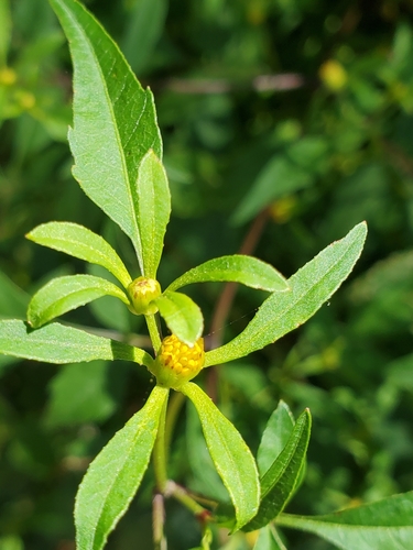
- Small BeggarticksBidens discoidea
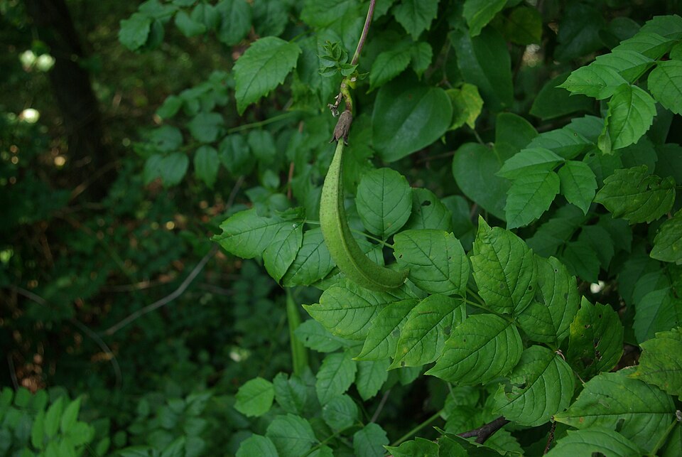
- Trumpet-creeperCampsis radicans

Wildlife 262
Other animals whose habitat models include the same habitats in Mississippi. Not sighting records.
- Black-crowned Night-heronNycticorax nycticorax
- Chimney SwiftChaetura pelagica
- Common NighthawkChordeiles minor
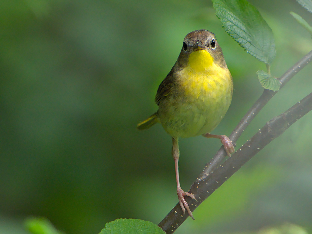
- Common YellowthroatGeothlypis trichas
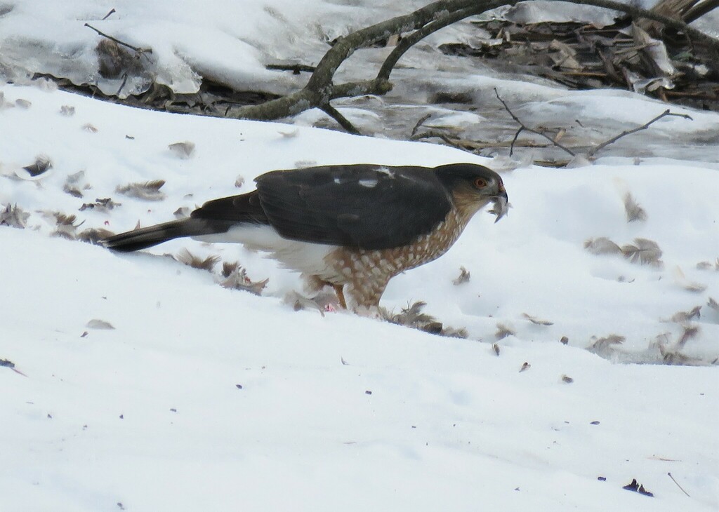
- Cooper's HawkAccipiter cooperii
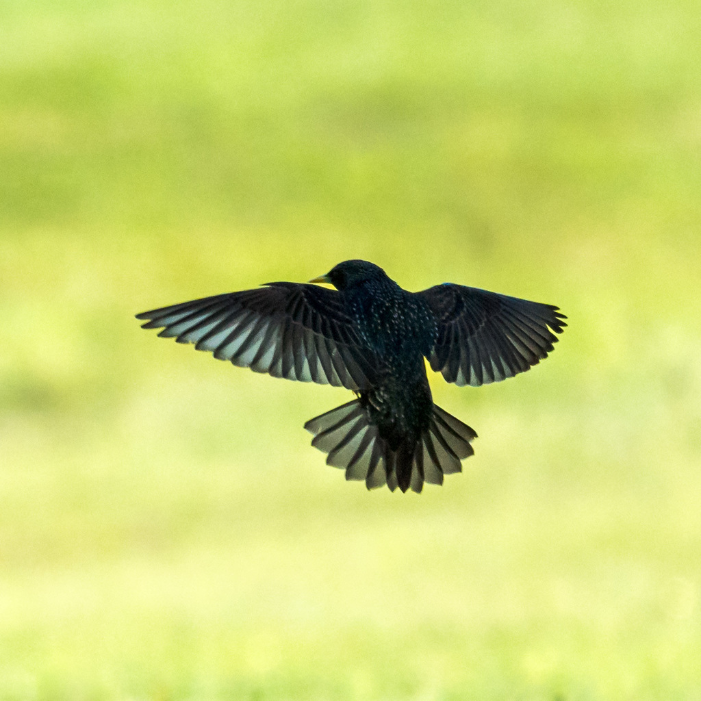
- European StarlingSturnus vulgaris
- Great Horned OwlBubo virginianus
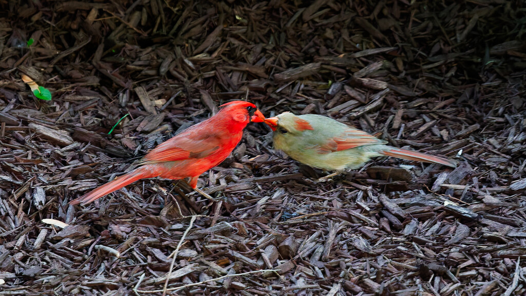
- Northern CardinalCardinalis cardinalis
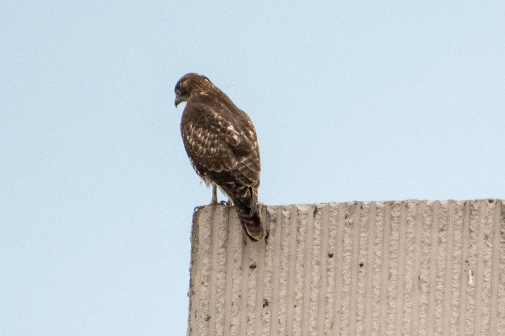
- Red-tailed HawkButeo jamaicensis
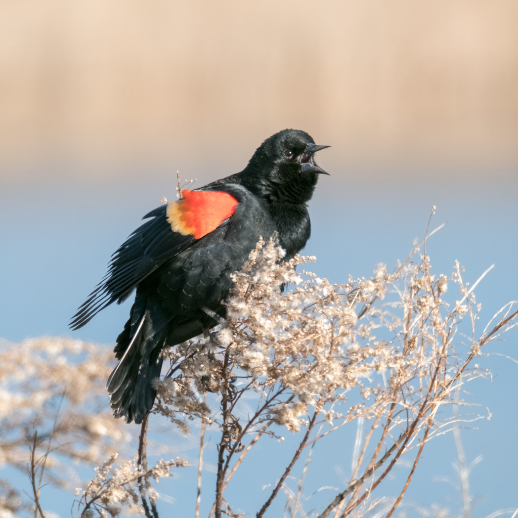
- Red-winged BlackbirdAgelaius phoeniceus
- Sharp-shinned HawkAccipiter striatus
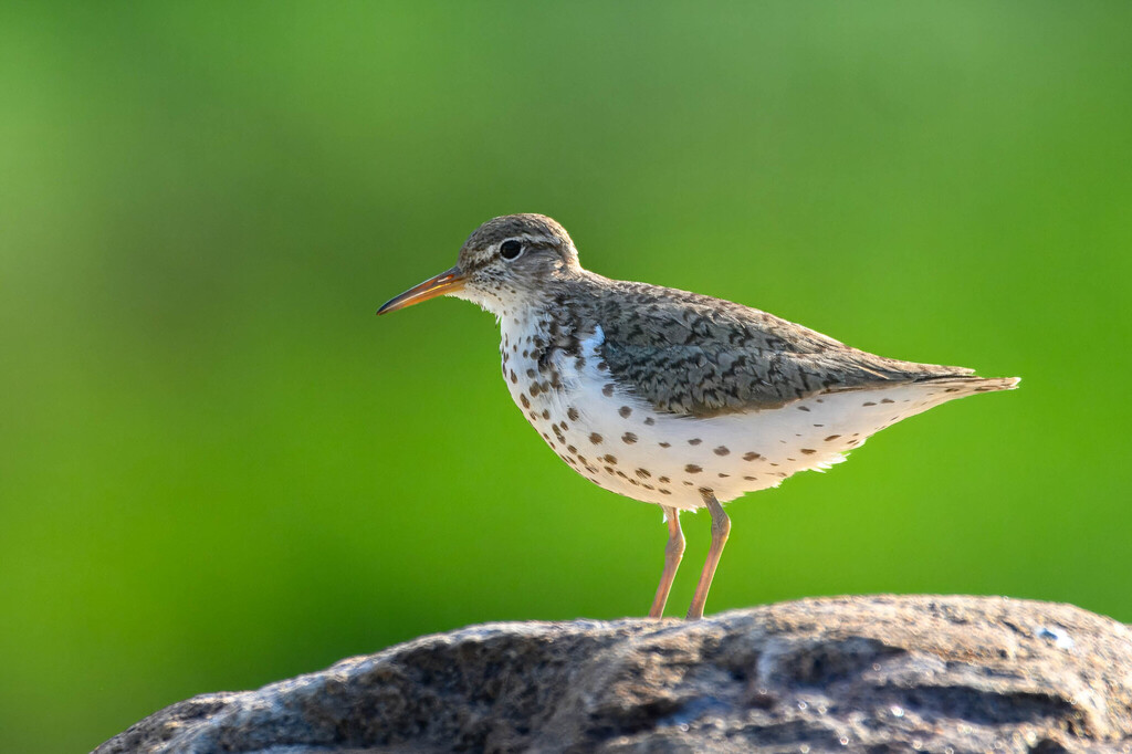
- Spotted SandpiperActitis macularius
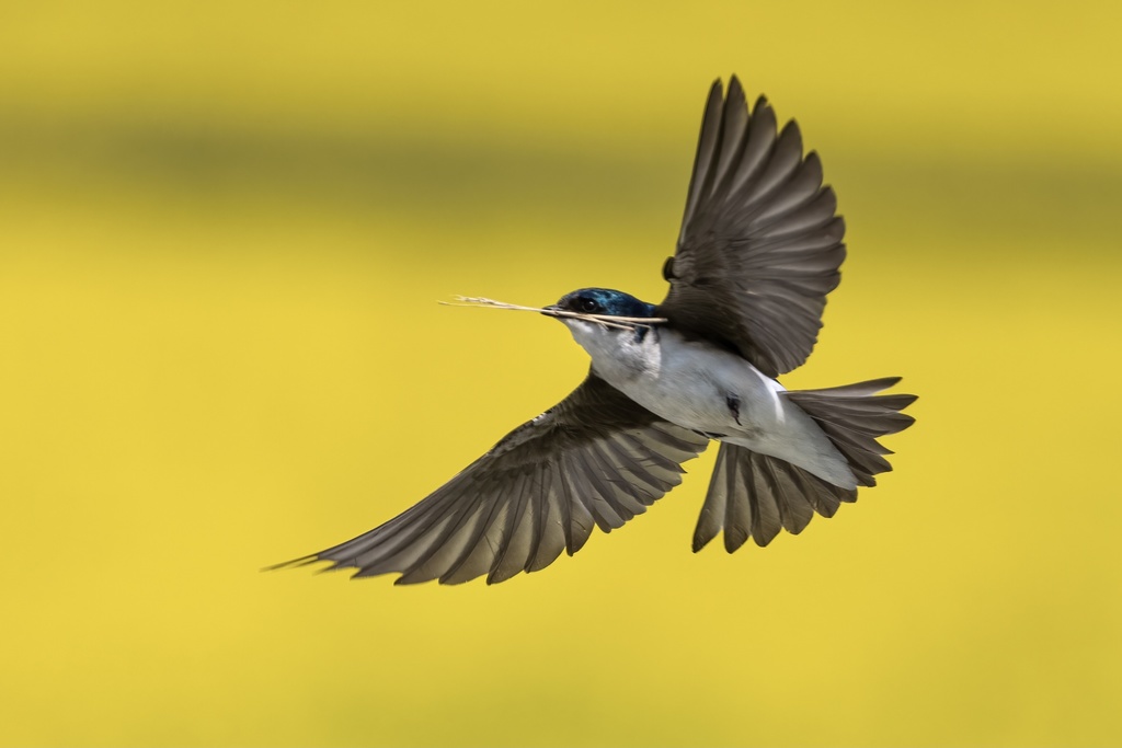
- Tree SwallowTachycineta bicolor
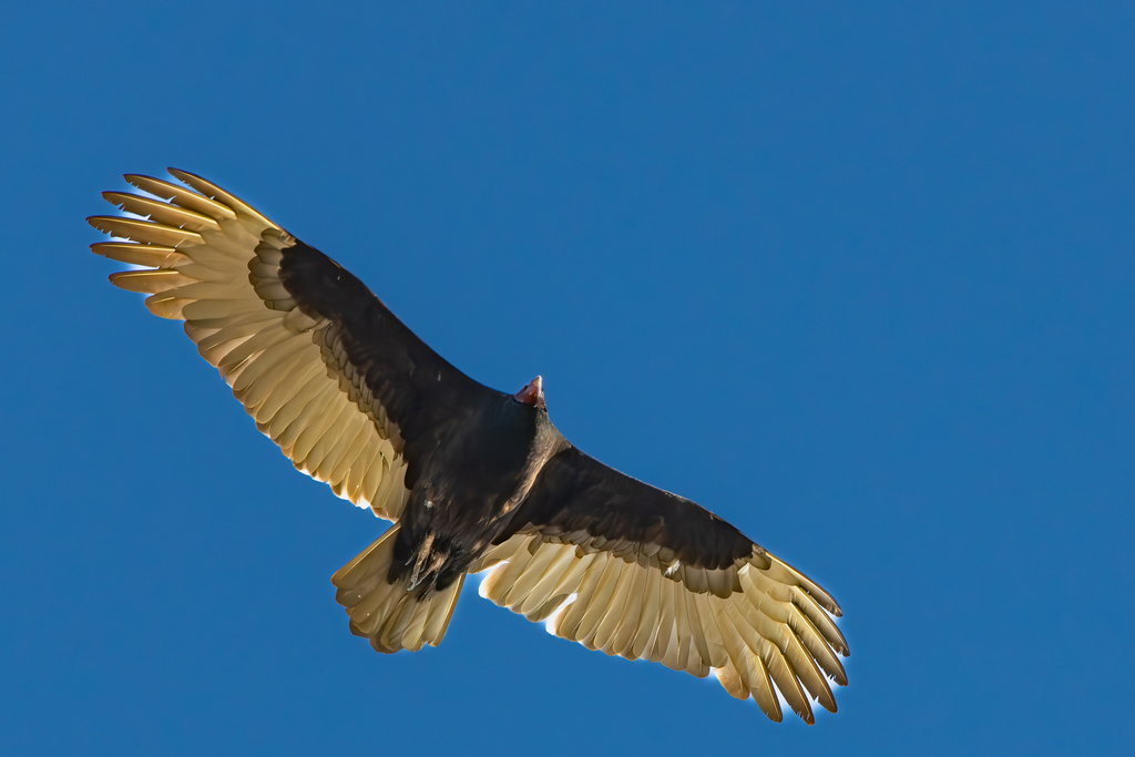
- Turkey VultureCathartes aura
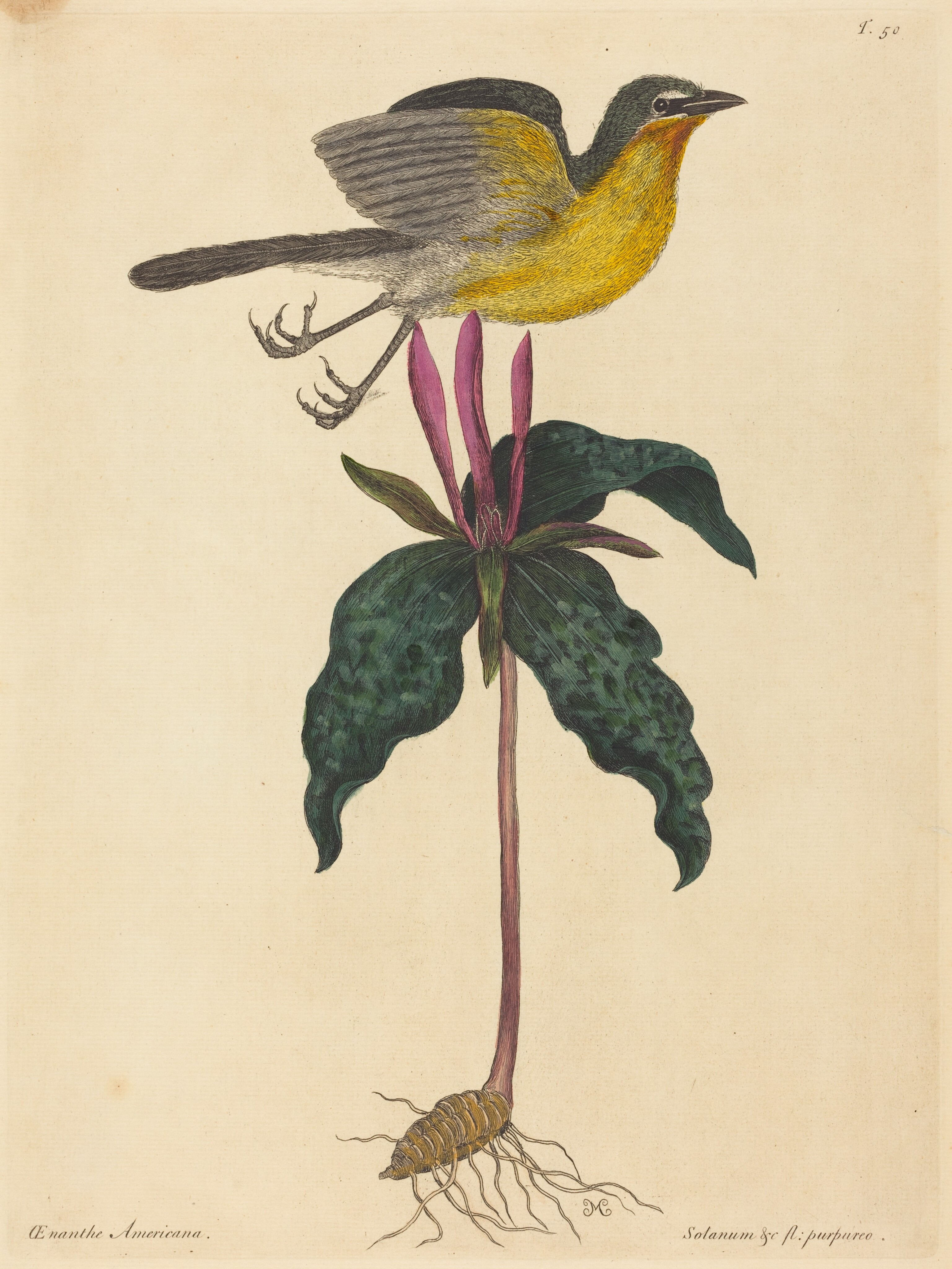
- Yellow-breasted ChatIcteria virens
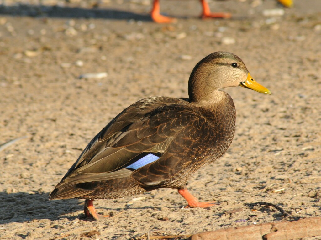
- American Black DuckAnas rubripes
- American CrowCorvus brachyrhynchos
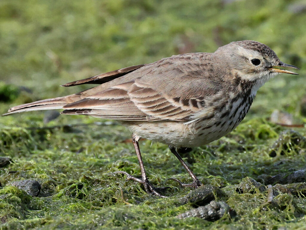
- American PipitAnthus rubescens
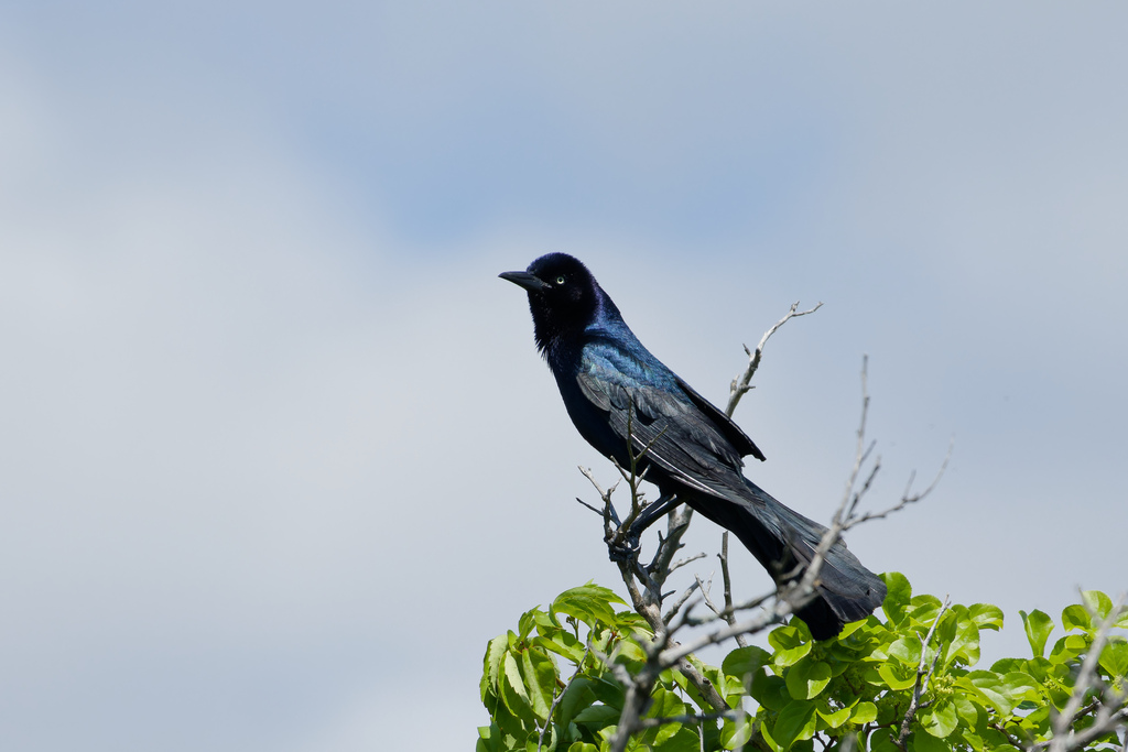
- Boat-tailed GrackleQuiscalus major
- Canada GooseBranta canadensis
- Fish CrowCorvus ossifragus
- Great Blue HeronArdea herodias
- Mottled DuckAnas fulvigula
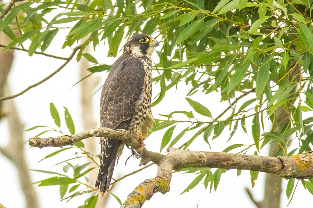
- Peregrine FalconFalco peregrinus






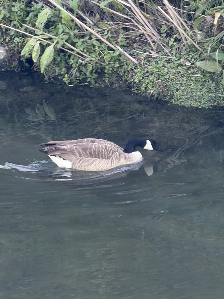
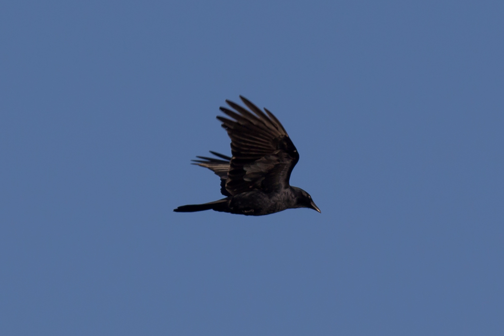
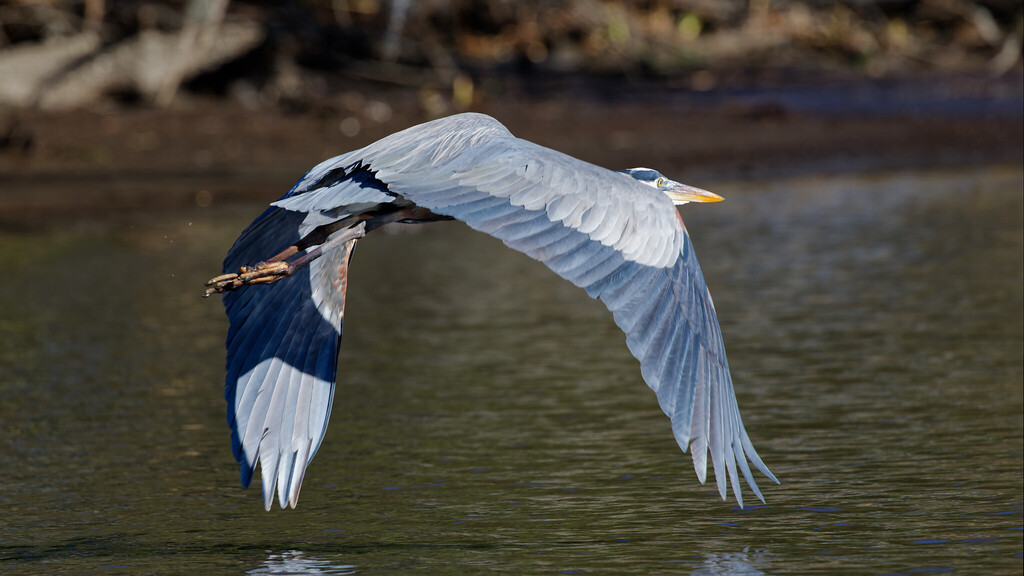
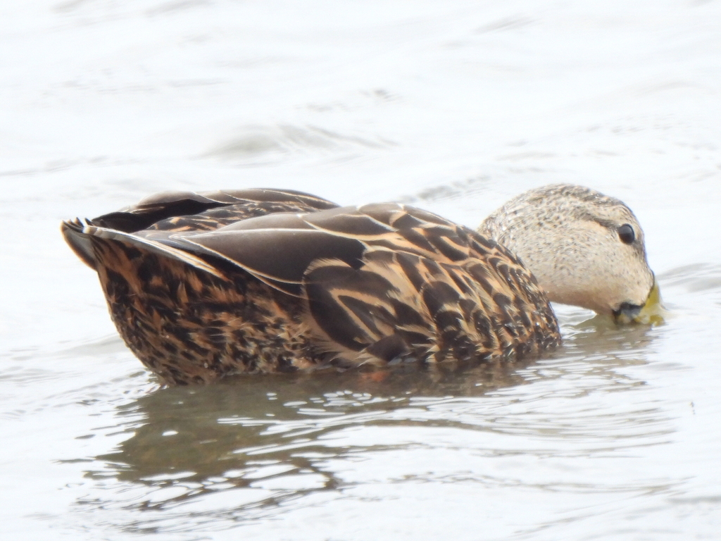
NatureServe Explorer, CC BY 4.0. USGS Gap Analysis Project habitat models.
Sources
- USGS Gap Analysis Project habitat models (2001)
- USGS GAP winter habitat model for Brewer's Blackbird
- USGS Gap Analysis Project range maps (2001), modeled by watershed; migratory gives no dates
- NatureServe Explorer (CC BY 4.0), habitat names
- US Census TIGER/Line counties
- Names follow the USGS Gap Analysis Project (2001)