

Bird
Anhinga
Anhinga anhinga
Lives in Mississippi all year and nests here. Found in 55 of 82 counties, across 7 habitats.
- Here
- All year
- Nesting
- Nests here
- Range
- 55 of 82 counties
- Habitats
- 7
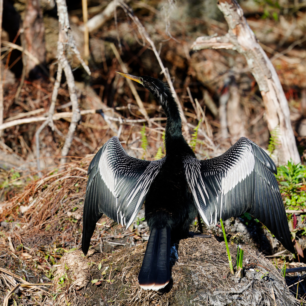
At a glance
- Group
- Birds
- Here
- All year
- Nesting
- Nests here
- Range
- 55 of 82 counties
- Habitats
- 7
- Habitat models
- Summer, Winter
Where it lives
The places its habitat model includes. It is not found everywhere a habitat occurs.
Habitats in Mississippi 7
Each habitat page lists the plants and wildlife also found there.
Coastal tidal marshes (salinity not stated)
Tidal marshes of the Atlantic and Gulf coasts where the source does not say whether the water is fresh, brackish or salt. A stated salinity files the marsh under freshwater tidal marshes or salt and brackish marshes instead.
Disturbed and introduced wetlands
Wet ground taken over by weedy or introduced plants after disturbance, such as common reed, Chinese tallow or tamarisk stands; the upland counterpart is roadsides, fields and disturbed ground.
Floodplain and bottomland forests
Forests on low ground beside rivers and streams that flood from time to time.
Open, herb-covered wetlands with fresh, non-tidal water.
Still water and its edges: ponds, lakes, millponds and reservoirs.
Coastal marshes flooded by salty or brackish tides.
Forested wetlands with standing water much of the year, such as cypress and gum swamps.
Other habitats in its models (33)
Land cover, or classes with no habitat page in Mississippi.
- Open Water (Aquaculture) Summer and winter.
- Unconsolidated Shore (Lake/River/Pond) Summer and winter.
- Unconsolidated Shore Summer and winter.
- Atlantic Coastal Plain Central Salt and Brackish Tidal Marsh Summer and winter.
- Atlantic Coastal Plain Indian River Lagoon Tidal Marsh Summer.
- Atlantic Coastal Plain Embayed Region Tidal Salt and Brackish Marsh Summer.
- Florida Big Bend Salt-Brackish Tidal Marsh Summer and winter.
- Atlantic Coastal Plain Clay-Based Carolina Bay Herbaceous Wetland Summer and winter.
- West Gulf Coastal Plain Seepage Swamp and Baygall Summer and winter.
- Atlantic Coastal Plain Large Natural Lakeshore Summer and winter.
- Atlantic Coastal Plain Southern Tidal Wooded Swamp Summer and winter.
- South Florida Everglades Sawgrass Marsh Summer and winter.
- Florida Big Bend Fresh-Oligohaline Tidal Marsh Summer and winter.
- South Florida Mangrove Swamp Summer and winter.
- West Gulf Coastal Plain Near-Coast Large River Swamp Summer and winter.
- South Florida Bayhead Swamp Summer and winter.
- Atlantic Coastal Plain Central Fresh-Oligohaline Tidal Marsh Summer and winter.
- Atlantic Coastal Plain Nonriverine Swamp and Wet Hardwood Forest - Taxodium/Nyssa Modifier Winter.
- Atlantic Coastal Plain Nonriverine Swamp and Wet Hardwood Forest - Oak Dominated Modifier Winter.
- Atlantic Coastal Plain Clay-Based Carolina Bay Forested Wetland Summer and winter.
- South Florida Dwarf Cypress Savanna Summer and winter.
- South Florida Cypress Dome Summer and winter.
- East Gulf Coastal Plain Southern Depression Pondshore Summer and winter.
- Atlantic Coastal Plain Depression Pondshore Summer and winter.
- South Florida Freshwater Slough and Gator Hole Summer and winter.
- Atlantic Coastal Plain Blackwater Stream Floodplain Forest - Forest Modifier Summer and winter.
- East Gulf Coastal Plain Large River Floodplain Forest - Herbaceous Modifier Summer and winter.
- Central Interior and Appalachian Floodplain Systems Summer.
- West Gulf Coastal Plain Large River Floodplain Forest Summer and winter.
- Atlantic Coastal Plain Small Brownwater River Floodplain Forest Summer and winter.
- Atlantic Coastal Plain Small Blackwater River Floodplain Forest Summer and winter.
- Atlantic Coastal Plain Brownwater Stream Floodplain Forest Summer and winter.
- Texas-Louisiana Coastal Prairie Slough Summer and winter.
Seasons in Mississippi
- Year-round: nests here, in 16 of 82 counties.
- Summer: nests here, in 48 of 82 counties.
Also found in this habitat
Plants 340
Plants named in NatureServe descriptions of these habitats that grow in Mississippi. Shared habitat, not food.
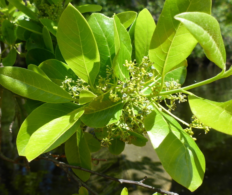
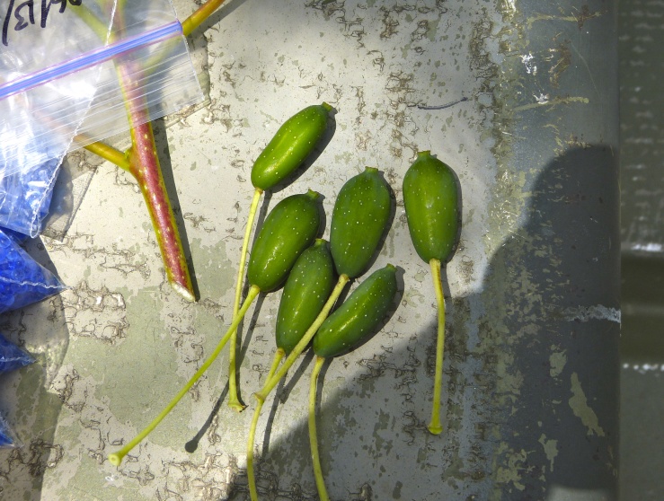
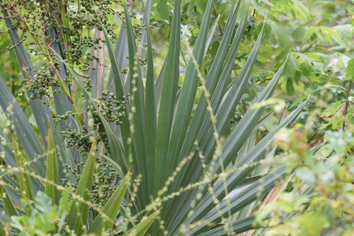
- TitiCyrilla racemiflora
- SweetgumLiquidambar styraciflua
- Sweetbay MagnoliaMagnolia virginiana
- Swamp TupeloNyssa biflora
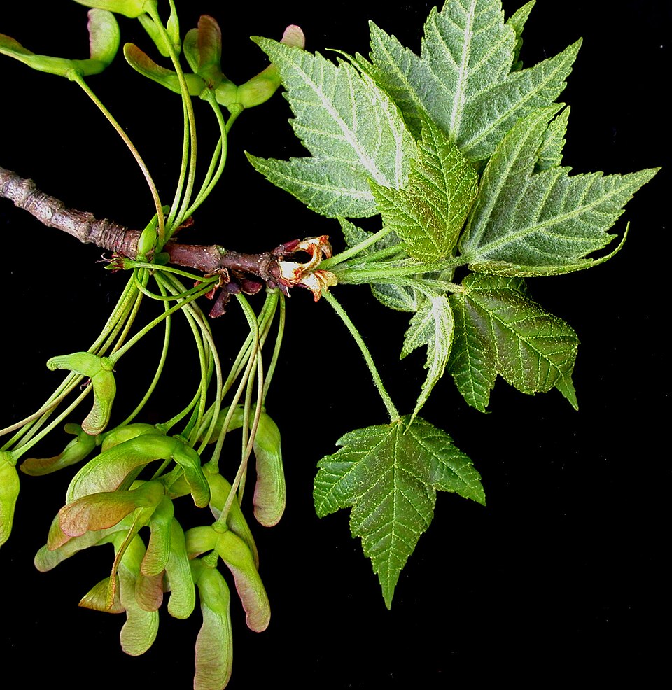
- Red MapleAcer rubrum
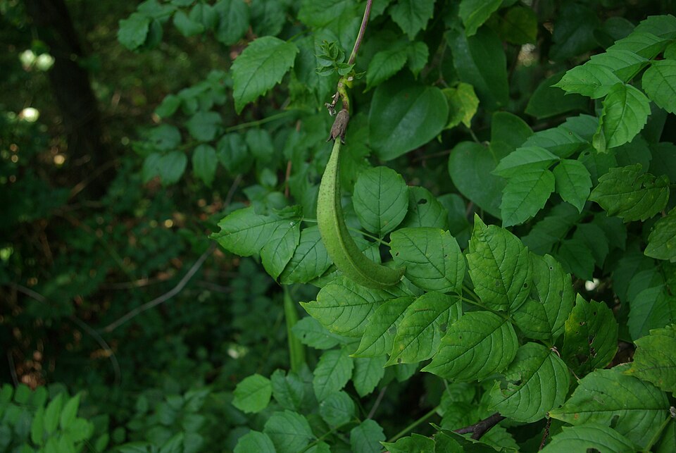
- False NettleBoehmeria cylindrica
- Trumpet-creeperCampsis radicans
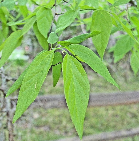
- SugarberryCeltis laevigata
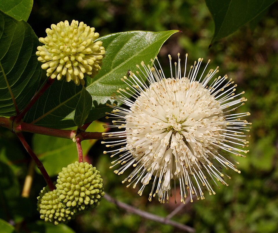
- ButtonbushCephalanthus occidentalis
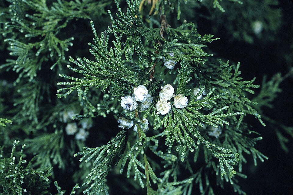
- Atlantic White CedarChamaecyparis thyoides
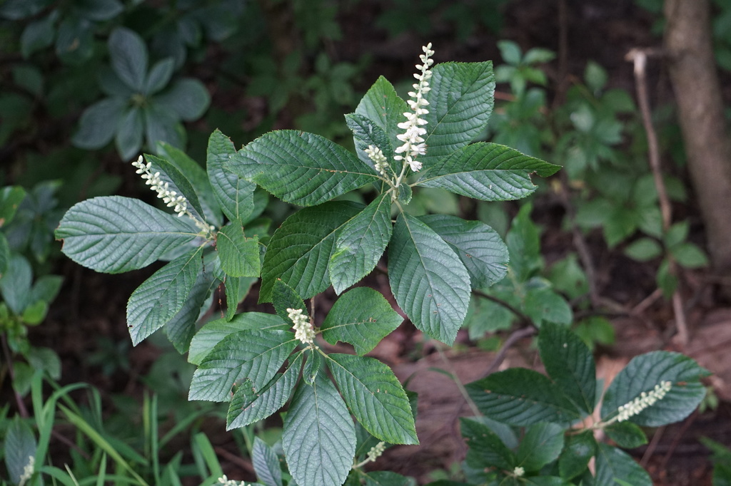
- Coastal Sweet-pepperbushClethra alnifolia
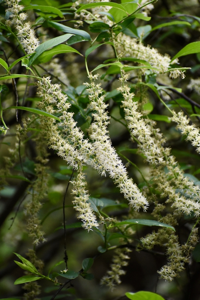
- Cliftonia monophyllaCliftonia monophylla
- Green HawthornCrataegus viridis
- Eastern Swamp PrivetForestiera acuminata
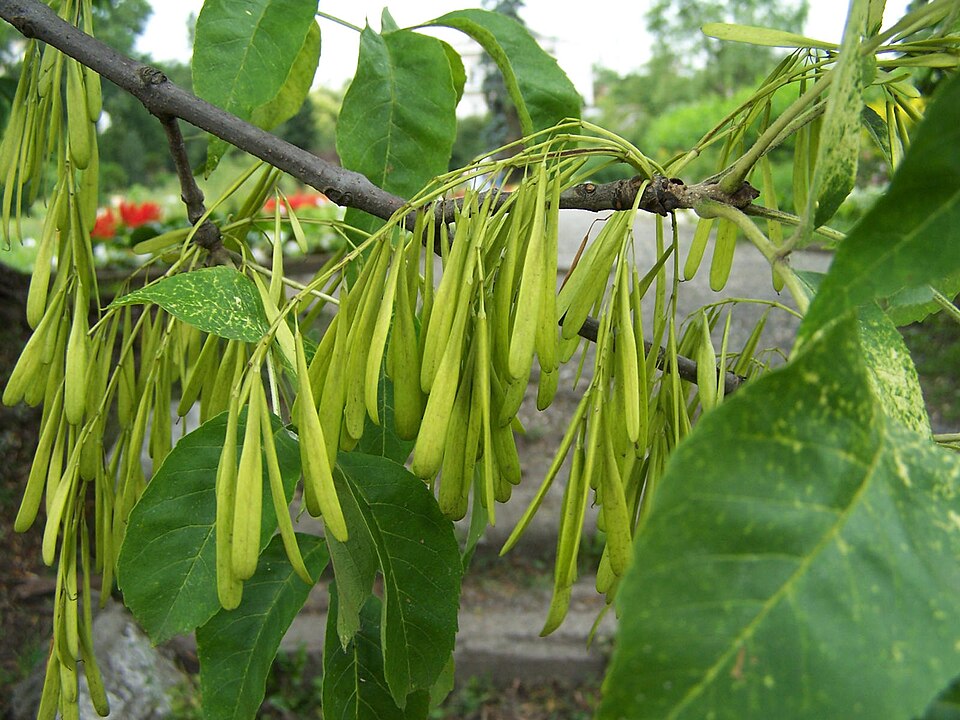
- Green AshFraxinus pennsylvanica
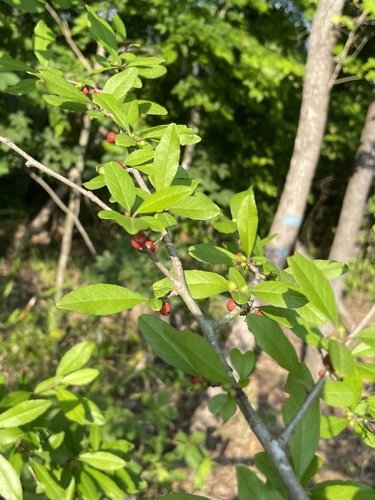
- Possumhaw HollyIlex decidua
- Virginia SweetspireItea virginica
- Shining FetterbushLyonia lucida
- Common WaxmyrtleMorella cerifera
- Water TupeloNyssa aquatica
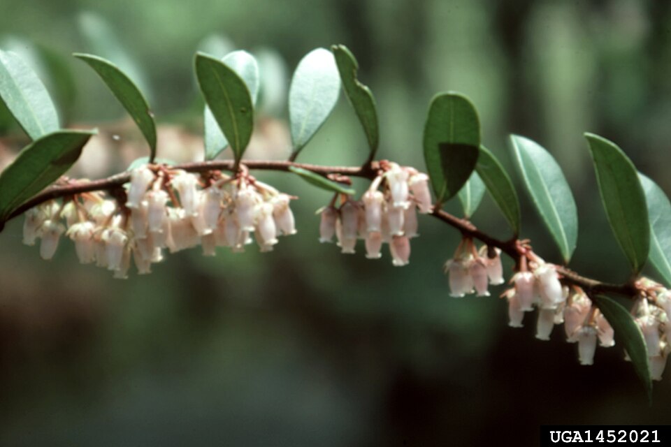
- Pieris phillyreifoliaPieris phillyreifolia
- Slash PinePinus elliottii
- Pinus elliottii var. elliottiiPinus elliottii var. elliottii
- Dwarf PalmettoSabal minor
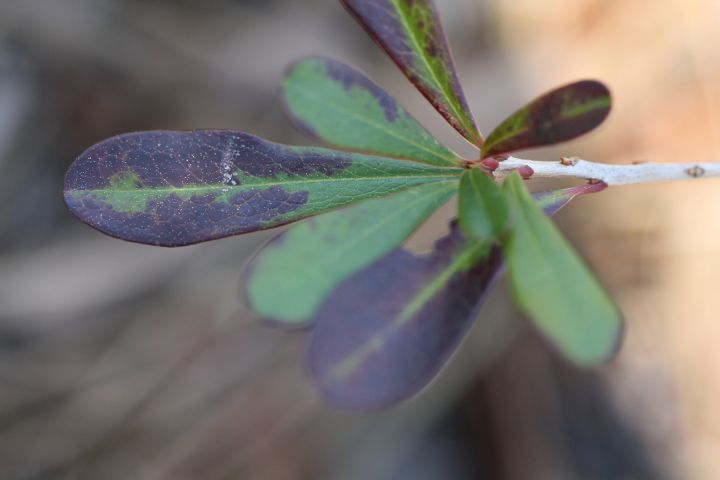
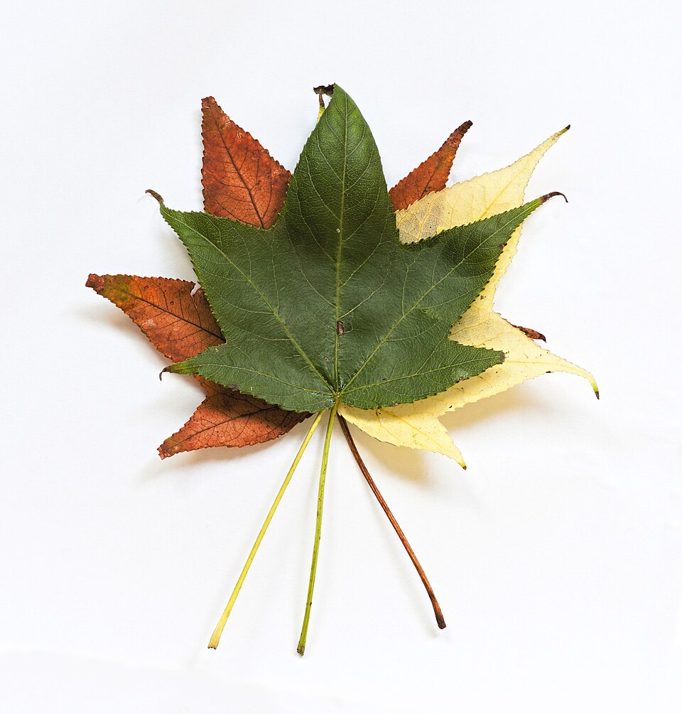
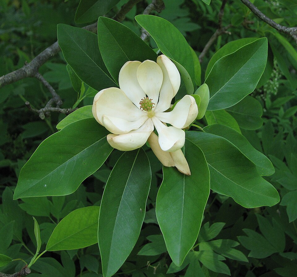

Wildlife 243
Other animals whose habitat models include the same habitats in Mississippi. Not sighting records.
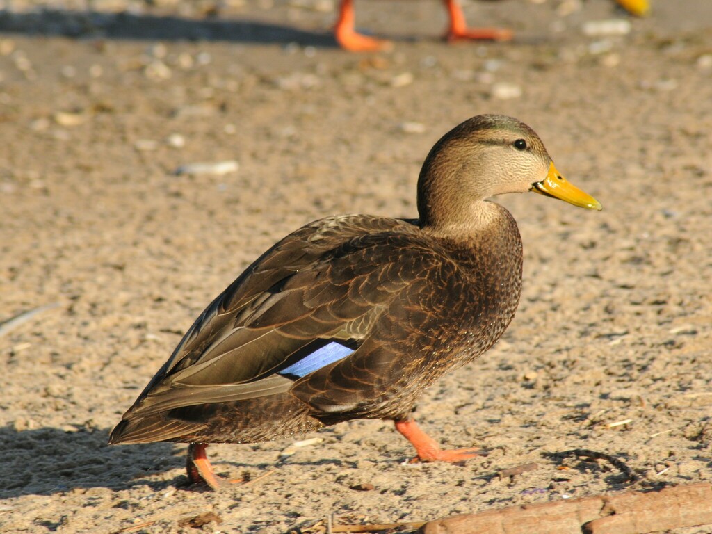
- American Black DuckAnas rubripes
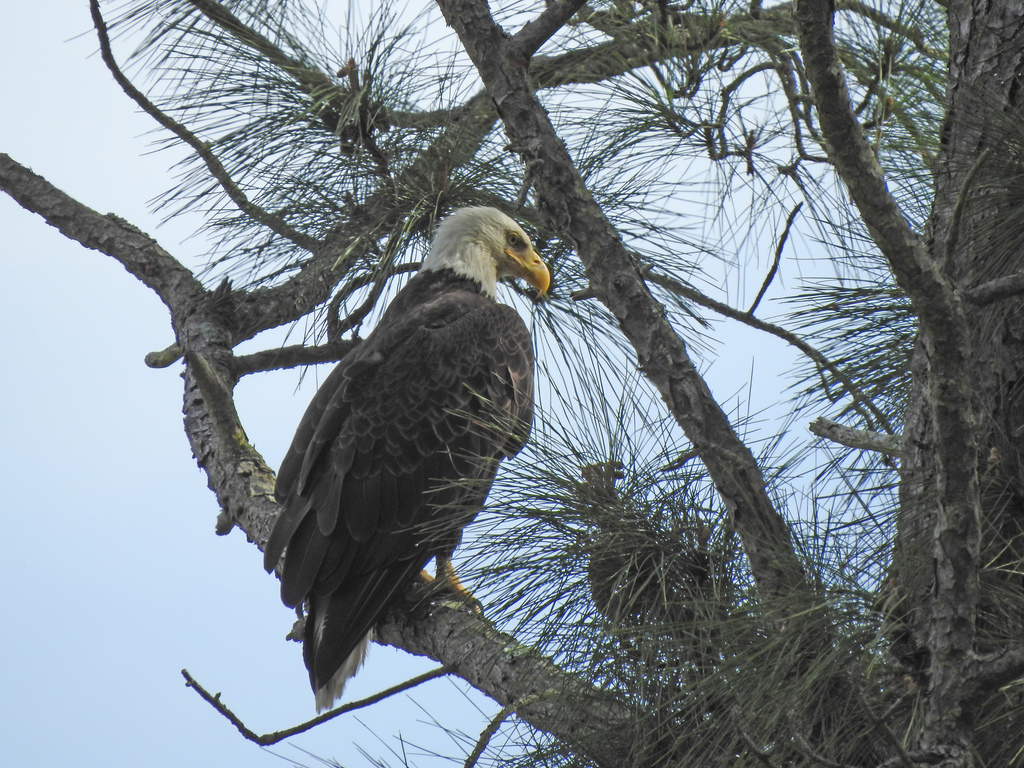
- Bald EagleHaliaeetus leucocephalus
- Black-bellied Whistling-DuckDendrocygna autumnalis
- Black-crowned Night-heronNycticorax nycticorax
- Boat-tailed GrackleQuiscalus major
- Canada GooseBranta canadensis
- Chimney SwiftChaetura pelagica
- Common NighthawkChordeiles minor
- Great Blue HeronArdea herodias
- Great EgretArdea alba
- Great Horned OwlBubo virginianus
- Green HeronButorides virescens
- Least SandpiperCalidris minutilla
- OspreyPandion haliaetus
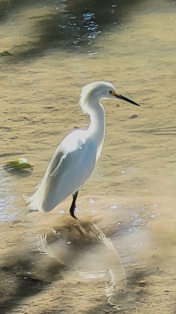
- Snowy EgretEgretta thula
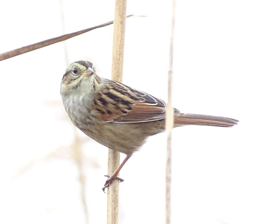
- Swamp SparrowMelospiza georgiana
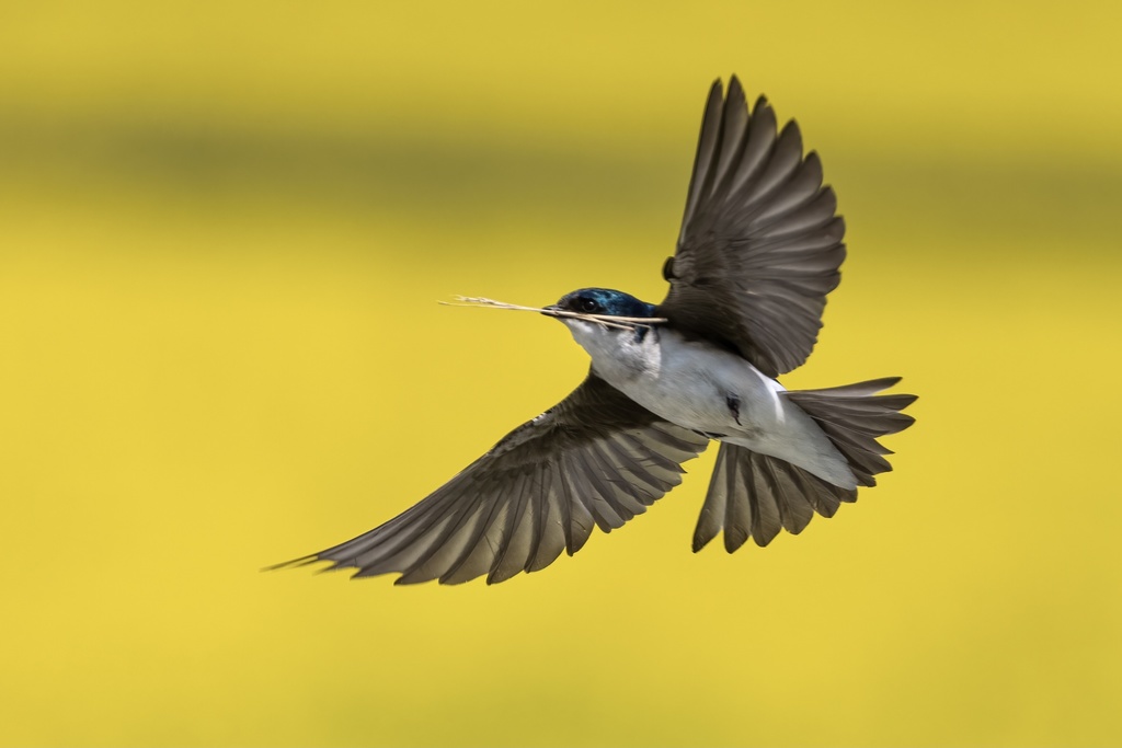
- Tree SwallowTachycineta bicolor
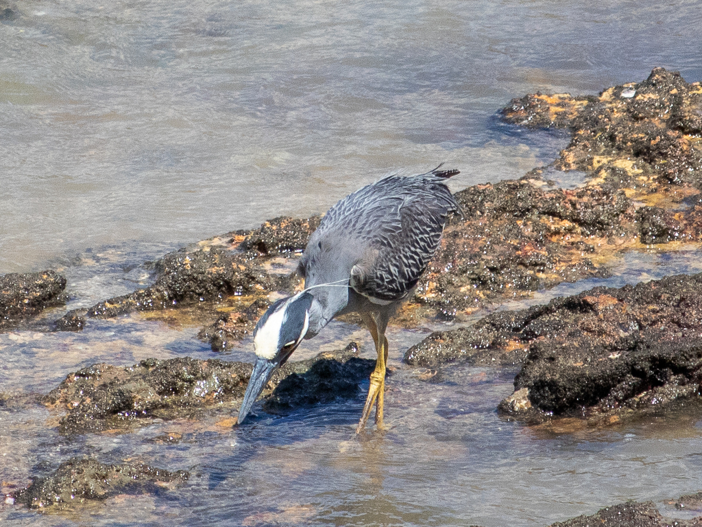
- Yellow-crowned Night-heronNyctanassa violacea
- American CootFulica americana
- American PipitAnthus rubescens
- Belted KingfisherMegaceryle alcyon
- CanvasbackAythya valisineria
- Common YellowthroatGeothlypis trichas
- Cooper's HawkAccipiter cooperii
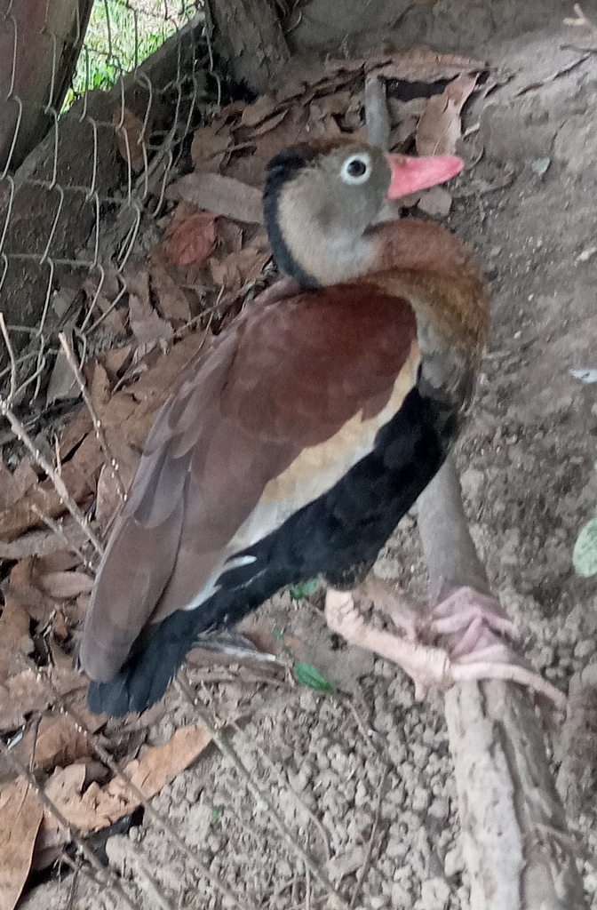

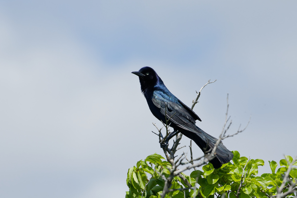
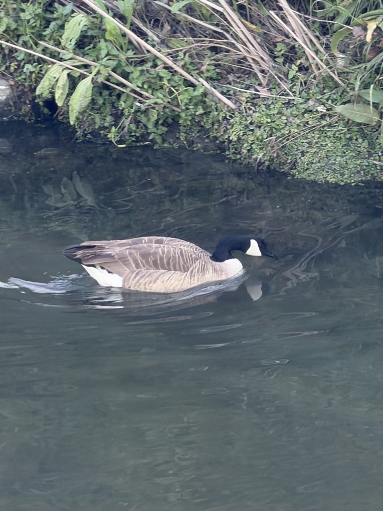


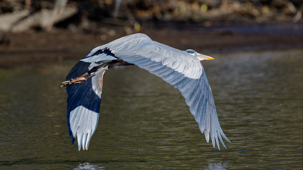
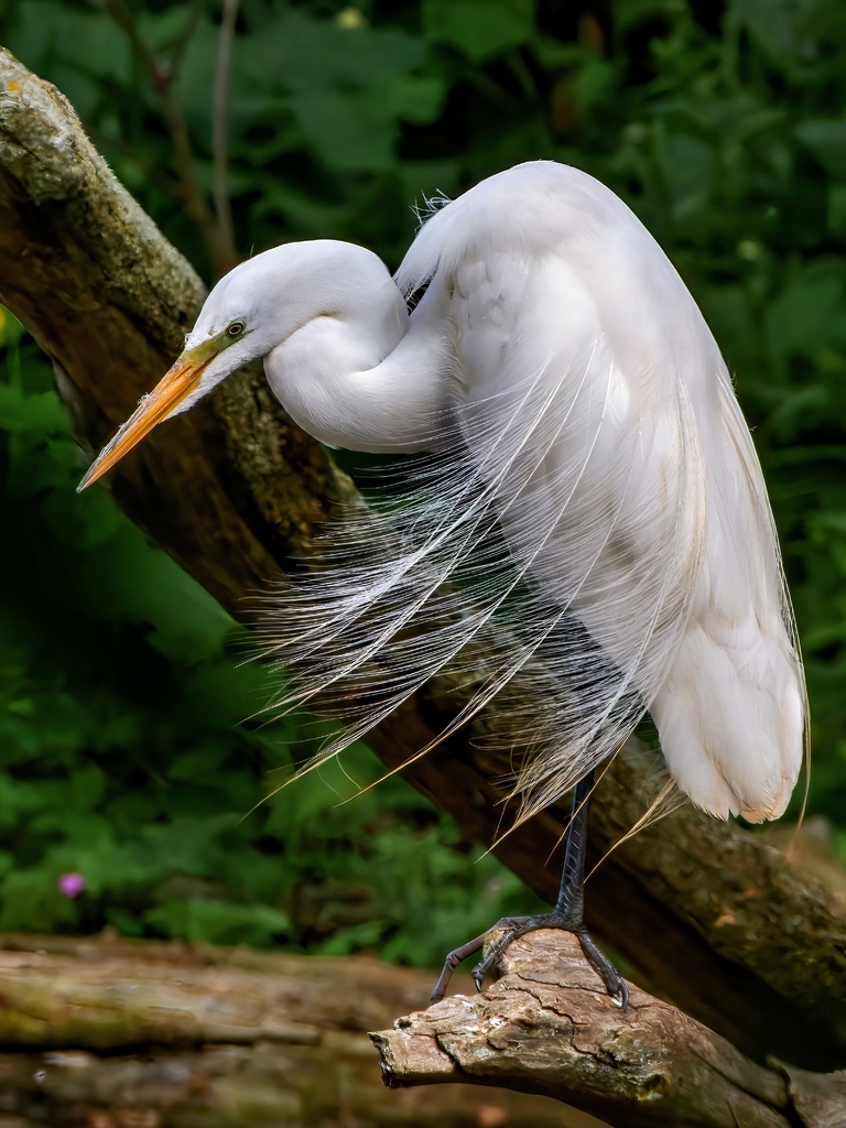

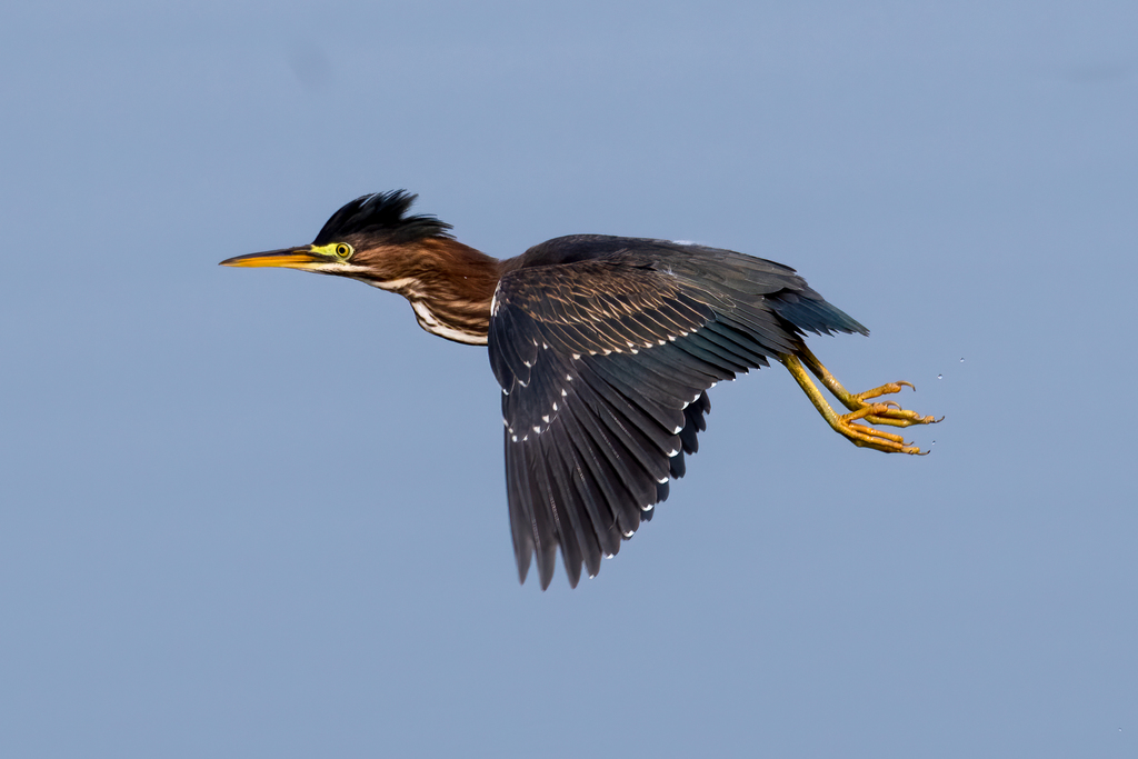
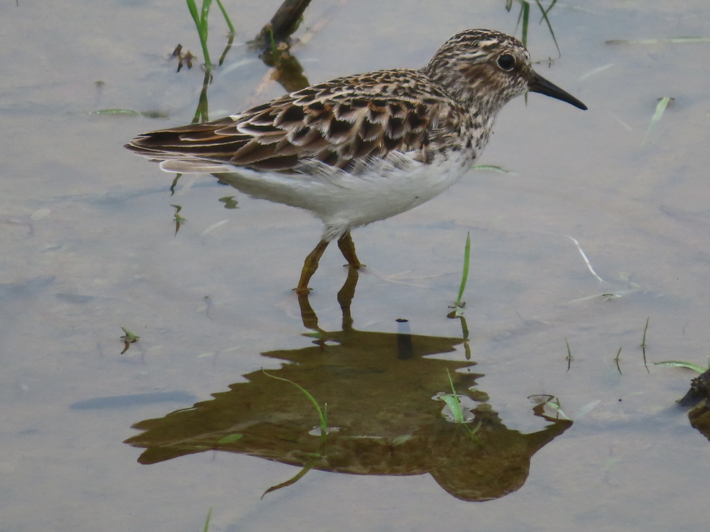
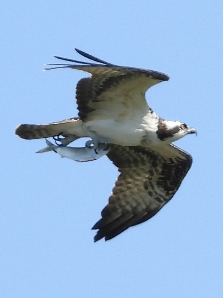
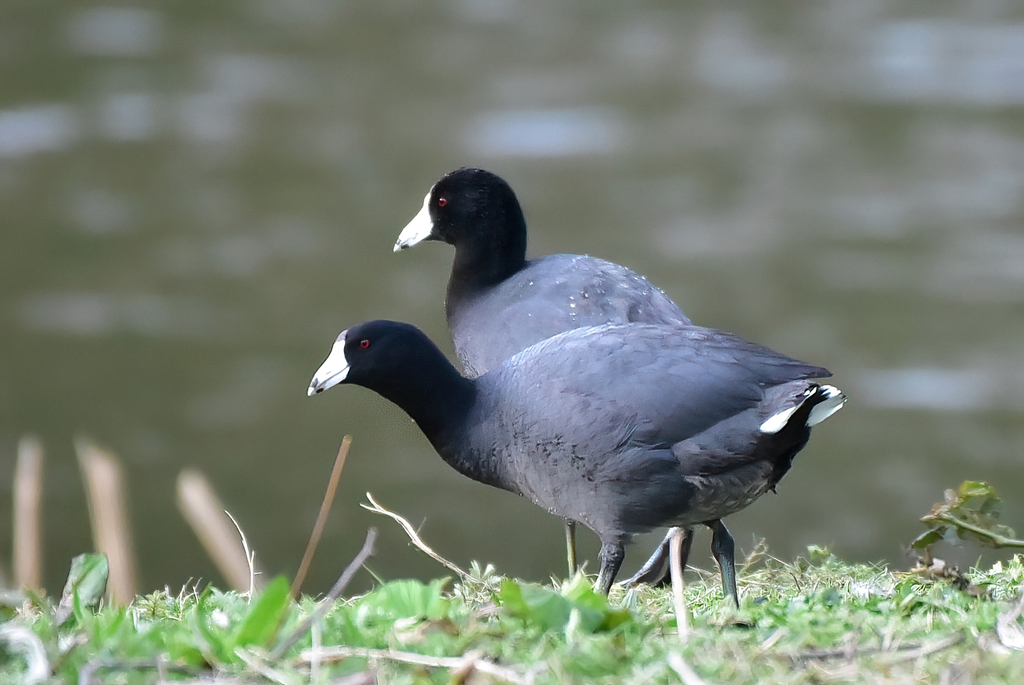
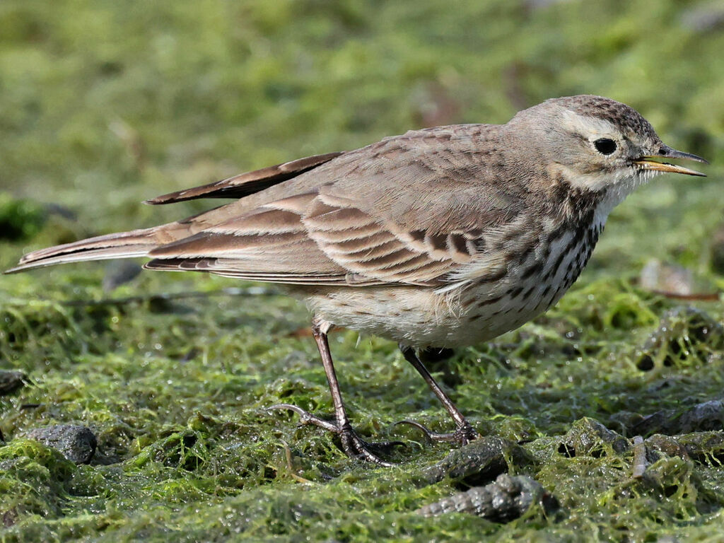
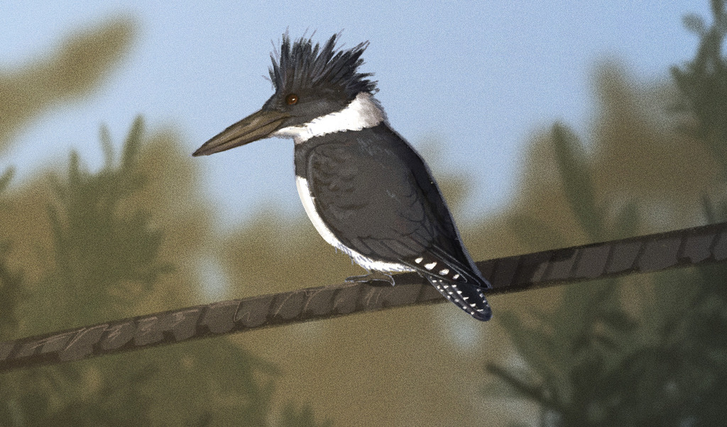
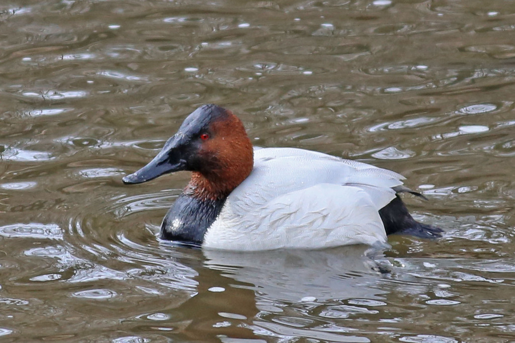
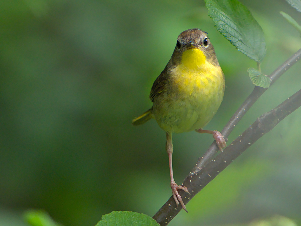

NatureServe Explorer, CC BY 4.0. USGS Gap Analysis Project habitat models.
Sources
- USGS Gap Analysis Project habitat models (2001)
- USGS GAP winter habitat model for Anhinga
- USGS Gap Analysis Project range maps (2001), modeled by watershed; migratory gives no dates
- NatureServe Explorer (CC BY 4.0), habitat names
- US Census TIGER/Line counties
- Names follow the USGS Gap Analysis Project (2001)