

Bird
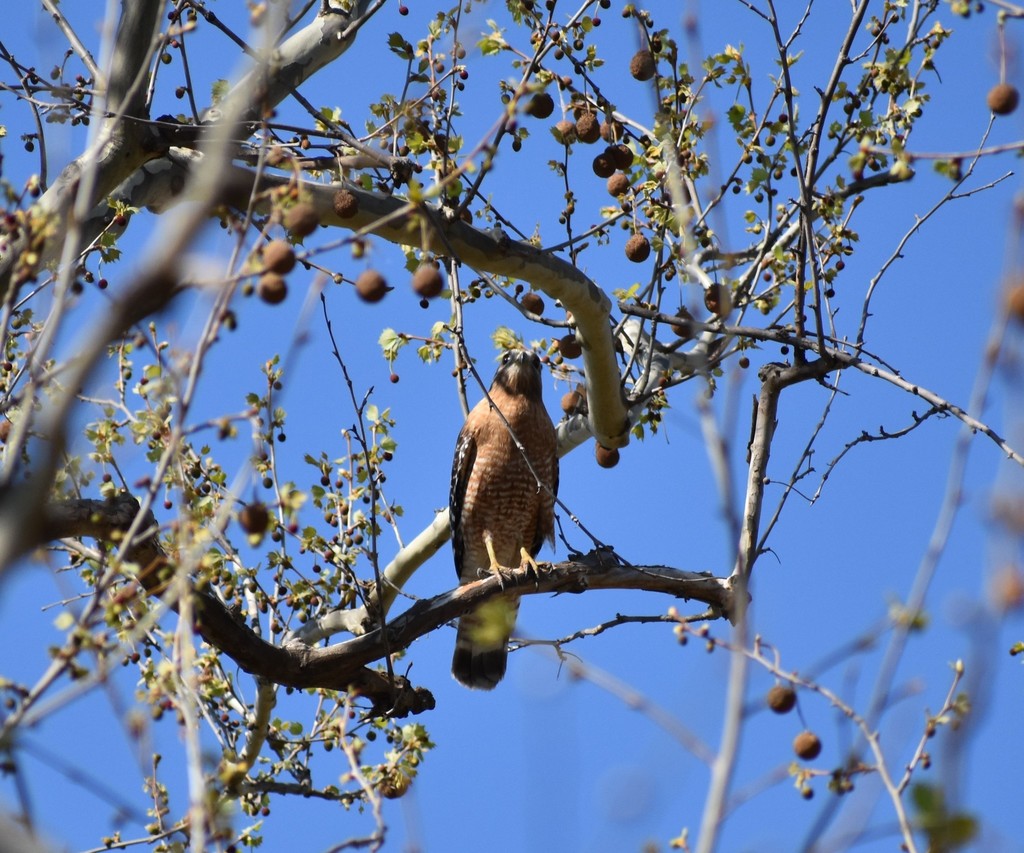
Red-shouldered Hawk
Buteo lineatus
Lives in Louisiana all year and nests here. Found in all 64 parishes, across 10 habitats.
- Here
- All year
- Nesting
- Nests here
- Range
- All 64 parishes
- Habitats
- 10
At a glance
- Group
- Birds
- Here
- All year
- Nesting
- Nests here
- Range
- All 64 parishes
- Habitats
- 10
- Habitat models
- Year-round
Where it lives
The places its habitat model includes. It is not found everywhere a habitat occurs.
Habitats in Louisiana 10
Each habitat page lists the plants and wildlife also found there.
Open sand of beaches, dunes and the hollows between them.
Open, wet, seepage-fed bogs of the Coastal Plain and Sandhills, often with pitcher plants.
Floodplain and bottomland forests
Forests on low ground beside rivers and streams that flood from time to time.
Forested wetlands with standing water much of the year, such as cypress and gum swamps.
Borders of forests, clearings and shrubby thickets.
Flat, poorly drained uplands and terraces with oaks, sweetgum and sometimes loblolly pine, wet in winter and dry in summer, but neither a floodplain nor a swamp.
Forests on moist but not wet ground, such as rich slopes and ravines.
Flat, sandy Coastal Plain pine woodlands, wetter than sandhills and denser than savannas.
Roadsides, fields and disturbed ground
Ground opened by people: roadsides, old fields, pastures, fencerows and lots.
Tree plantations and managed pine
Planted or intensively managed stands of pine or hardwoods grown for timber; a land use rather than a natural community.
Other habitats in its models (82)
Land cover, or classes with no habitat page in Louisiana.
- Developed, Low Intensity Year-round, only within 1,000 m of water.
- Unconsolidated Shore Year-round.
- Northeastern Interior Dry Oak Forest - Mixed Modifier Year-round, only within 1,000 m of water.
- East Gulf Coastal Plain Black Belt Calcareous Prairie and Woodland - Herbaceous Modifier Year-round, only within 1,000 m of water.
- East Gulf Coastal Plain Northern Loess Bluff Forest Year-round, only within 1,000 m of water.
- South Florida Hardwood Hammock Year-round.
- Southwest Florida Coastal Strand and Maritime Hammock Year-round.
- Southeast Florida Coastal Strand and Maritime Hammock Year-round.
- South Florida Pine Rockland Year-round, only within 1,000 m of water.
- East Gulf Coastal Plain Maritime Forest Year-round, only within 1,000 m of water.
- Lower Mississippi River Dune Woodland and Forest Year-round.
- Southern Piedmont Mesic Forest Year-round, only within 1,000 m of water.
- East Gulf Coastal Plain Northern Mesic Hardwood Forest Year-round, only within 1,000 m of water.
- South-Central Interior / Upper Coastal Plain Flatwoods Year-round, only within 1,000 m of water.
- Atlantic Coastal Plain Central Maritime Forest Year-round, only within 1,000 m of water.
- Atlantic Coastal Plain Northern Maritime Forest Year-round, only within 1,000 m of water.
- Atlantic Coastal Plain Southern Maritime Forest Year-round, only within 1,000 m of water.
- East Gulf Coastal Plain Black Belt Calcareous Prairie and Woodland - Woodland Modifier Year-round, only within 1,000 m of water.
- East Gulf Coastal Plain Interior Shortleaf Pine-Oak Forest - Mixed Modifier Year-round, only within 1,000 m of water.
- Southern Piedmont Dry Oak-(Pine) Forest - Mixed Modifier Year-round, only within 1,000 m of water.
- Central Appalachian Oak and Pine Forest Year-round, only within 1,000 m of water.
- Appalachian Hemlock-Hardwood Forest Year-round, only within 1,000 m of water.
- Southern and Central Appalachian Cove Forest Year-round, only within 1,000 m of water.
- South-Central Interior Mesophytic Forest Year-round, only within 1,000 m of water.
- Atlantic Coastal Plain Mesic Hardwood and Mixed Forest Year-round, only within 1,000 m of water.
- Nashville Basin Limestone Glade Year-round, only within 1,000 m of water.
- Eastern Highland Rim Prairie and Barrens - Dry Modifier Year-round, only within 1,000 m of water.
- Florida Dry Prairie Year-round, only within 1,000 m of water.
- East Gulf Coastal Plain Jackson Prairie and Woodland Year-round, only within 1,000 m of water.
- Atlantic Coastal Plain Southern Dune and Maritime Grassland Year-round.
- Southwest Florida Dune and Coastal Grassland Year-round.
- East Gulf Coastal Plain Dune and Coastal Grassland Year-round.
- Northern Atlantic Coastal Plain Dune and Swale Year-round.
- Harvested Forest - Grass/Forb Regeneration Year-round, only within 1,000 m of water.
- Mississippi Sound Salt and Brackish Tidal Marsh Year-round.
- Atlantic Coastal Plain Clay-Based Carolina Bay Herbaceous Wetland Year-round.
- Atlantic Coastal Plain Peatland Pocosin Year-round.
- Atlantic Coastal Plain Streamhead Seepage Swamp - Pocosin - and Baygall Year-round.
- Floridian Highlands Freshwater Marsh Year-round.
- Atlantic Coastal Plain Embayed Region Tidal Freshwater Marsh Year-round.
- Central Florida Herbaceous Seep Year-round.
- Florida Big Bend Fresh-Oligohaline Tidal Marsh Year-round.
- Atlantic Coastal Plain Northern Fresh and Oligohaline Tidal Marsh Year-round.
- South Florida Bayhead Swamp Year-round.
- Southern Coastal Plain Nonriverine Basin Swamp Year-round.
- Northern Atlantic Coastal Plain Basin Swamp and Wet Hardwood Forest Year-round.
- Atlantic Coastal Plain Central Fresh-Oligohaline Tidal Marsh Year-round.
- Atlantic Coastal Plain Nonriverine Swamp and Wet Hardwood Forest - Taxodium/Nyssa Modifier Year-round.
- Atlantic Coastal Plain Nonriverine Swamp and Wet Hardwood Forest - Oak Dominated Modifier Year-round.
- Atlantic Coastal Plain Clay-Based Carolina Bay Forested Wetland Year-round.
- South Florida Dwarf Cypress Savanna Year-round.
- Southern and Central Appalachian Bog and Fen Year-round.
- South Florida Wet Marl Prairie Year-round.
- East Gulf Coastal Plain Savanna and Wet Prairie Year-round.
- South Florida Cypress Dome Year-round.
- East Gulf Coastal Plain Southern Depression Pondshore Year-round.
- Southern Piedmont/Ridge and Valley Upland Depression Swamp Year-round.
- Atlantic Coastal Plain Depression Pondshore Year-round.
- South Florida Freshwater Slough and Gator Hole Year-round.
- Atlantic Coastal Plain Blackwater Stream Floodplain Forest - Forest Modifier Year-round.
- Central Appalachian Floodplain - Forest Modifier Year-round.
- Central Appalachian Riparian - Forest Modifier Year-round.
- East Gulf Coastal Plain Large River Floodplain Forest - Forest Modifier Year-round.
- South-Central Interior Large Floodplain - Forest Modifier Year-round.
- Southern Piedmont Large Floodplain Forest - Forest Modifier Year-round.
- East Gulf Coastal Plain Large River Floodplain Forest - Herbaceous Modifier Year-round.
- South-Central Interior Large Floodplain - Herbaceous Modifier Year-round.
- Southern Coastal Plain Hydric Hammock Year-round.
- Southern Piedmont Small Floodplain and Riparian Forest Year-round.
- Atlantic Coastal Plain Small Brownwater River Floodplain Forest Year-round.
- Atlantic Coastal Plain Small Blackwater River Floodplain Forest Year-round.
- Atlantic Coastal Plain Brownwater Stream Floodplain Forest Year-round.
- South-Central Interior Small Stream and Riparian Year-round.
- East Gulf Coastal Plain Small Stream and River Floodplain Forest Year-round.
- Southern Coastal Plain Blackwater River Floodplain Forest Year-round.
- East Gulf Coastal Plain Jackson Plain Dry Flatwoods - Open Understory Modifier Year-round, only within 1,000 m of water.
- East Gulf Coastal Plain Near-Coast Pine Flatwoods - Offsite Hardwood Modifier Year-round, only within 1,000 m of water.
- South Florida Pine Flatwoods Year-round, only within 1,000 m of water.
- Central Atlantic Coastal Plain Wet Longleaf Pine Savanna and Flatwoods Year-round.
- Atlantic Coastal Plain Southern Wet Pine Savanna and Flatwoods Year-round.
- Central Florida Pine Flatwoods Year-round, only within 1,000 m of water.
- South-Central Interior / Upper Coastal Plain Wet Flatwoods Year-round.
Seasons in Louisiana
- Year-round: nests here, in all 64 parishes.
Also found in this habitat
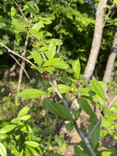
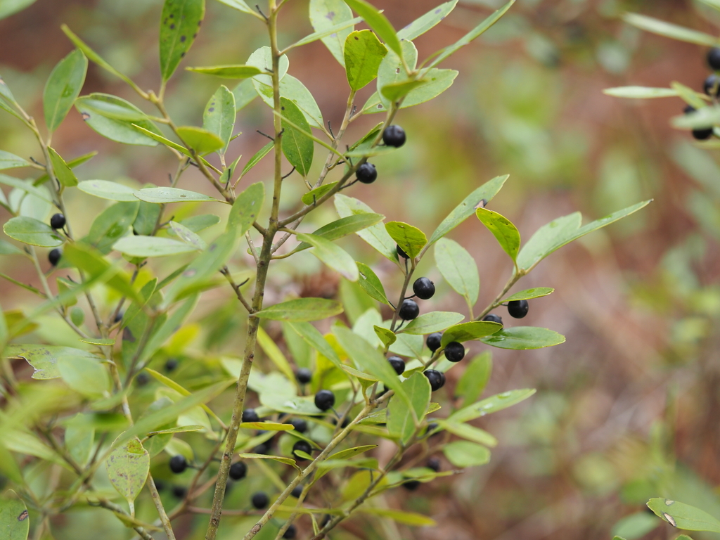
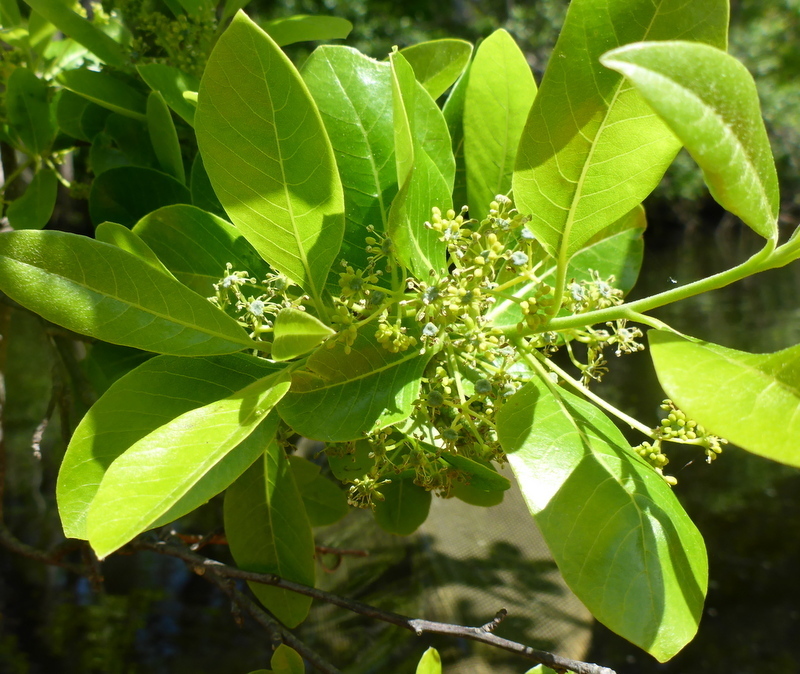
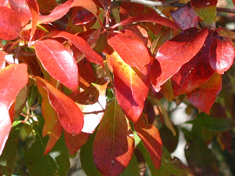
Plants 348
Plants named in NatureServe descriptions of these habitats that grow in Louisiana. Shared habitat, not food.
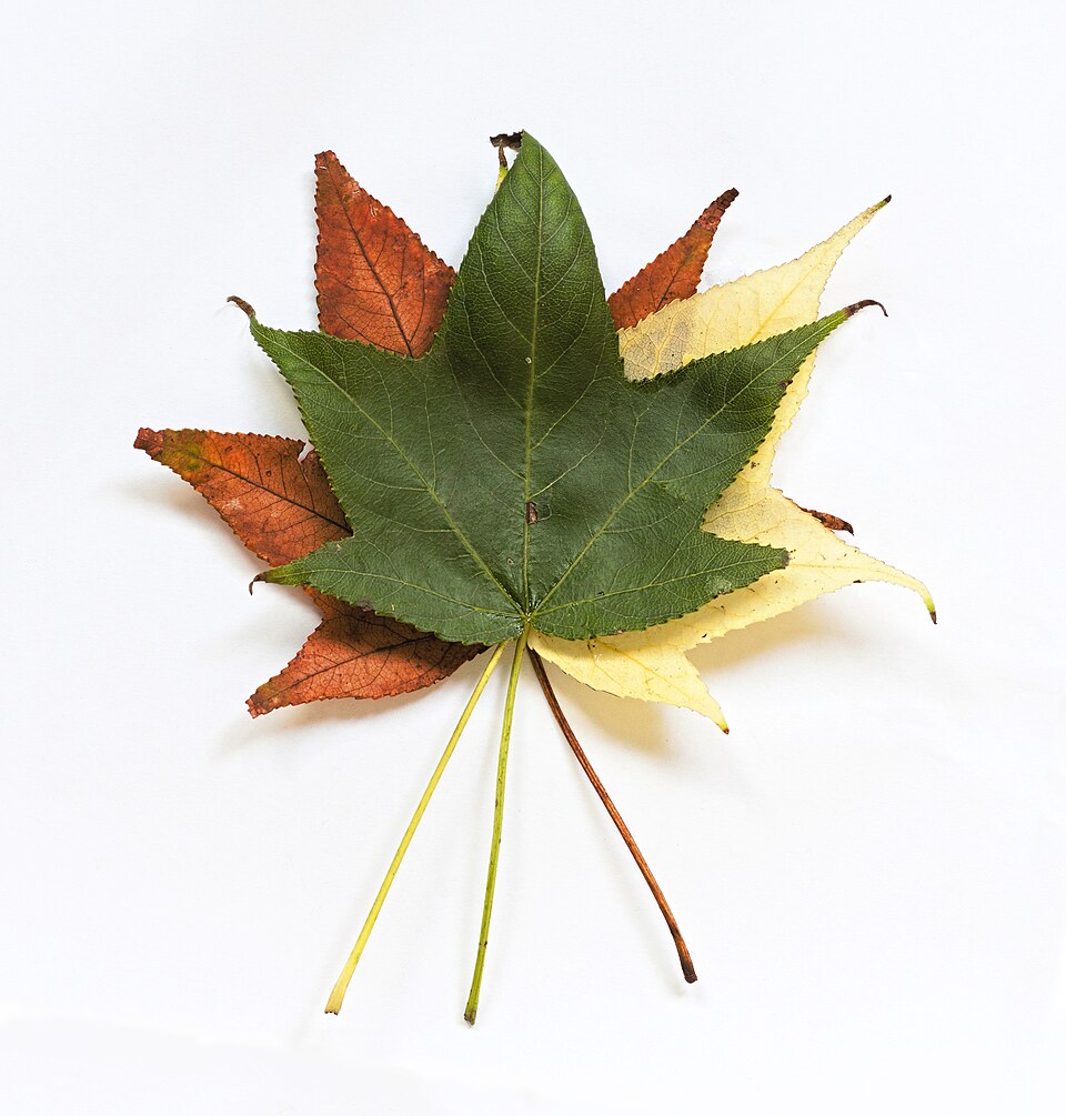
- SweetgumLiquidambar styraciflua
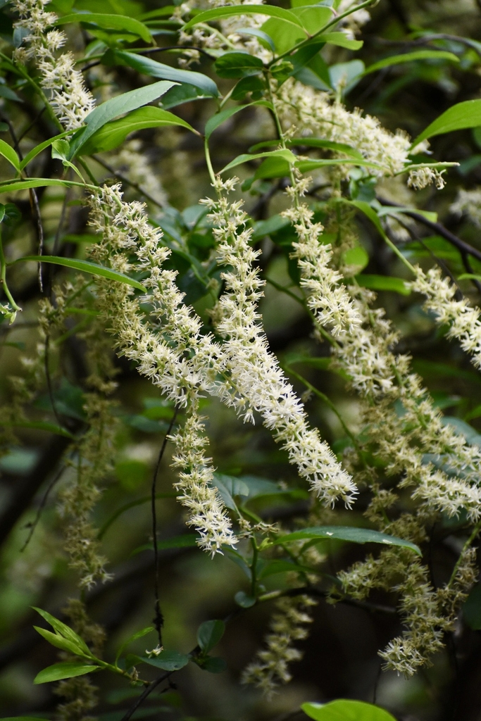
- Virginia SweetspireItea virginica
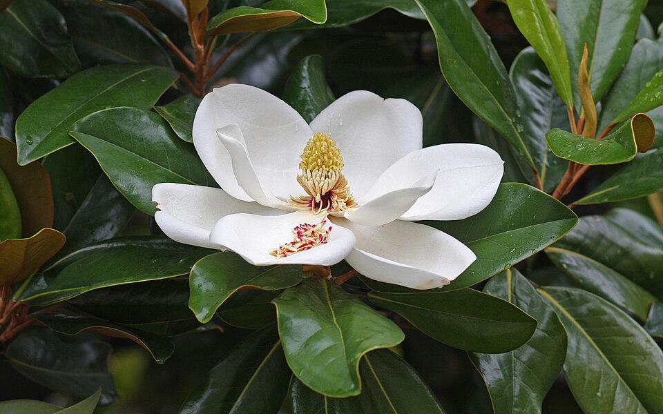
- Southern MagnoliaMagnolia grandiflora
- Common WaxmyrtleMorella cerifera
- Cherrybark OakQuercus pagoda
- Red MapleAcer rubrum
- ButtonbushCephalanthus occidentalis
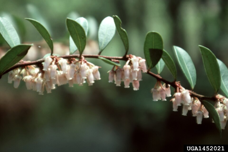
- TitiCyrilla racemiflora
- Shining FetterbushLyonia lucida
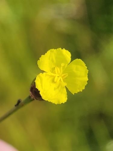
- Harper's Yellow-eyed-grassXyris scabrifolia
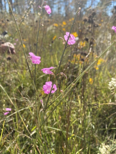
- Scaleleaf False FoxgloveAgalinis aphylla
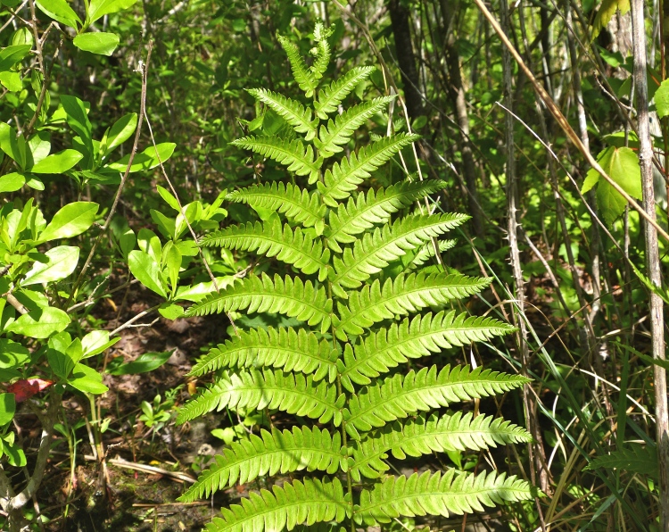
- Virginia Chain-fernAnchistea virginica
- False NettleBoehmeria cylindrica
- Coastal Sweet-pepperbushClethra alnifolia
- Flowering DogwoodCornus florida
- Green HawthornCrataegus viridis
- American BeechFagus grandifolia
- Possumhaw HollyIlex decidua
- InkberryIlex glabra
- PondberryLindera melissifolia
- Swamp TupeloNyssa biflora
- BlackgumNyssa sylvatica
- Slash PinePinus elliottii
- Pinus elliottii var. elliottiiPinus elliottii var. elliottii

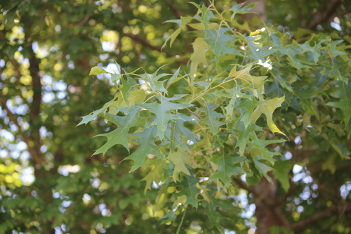
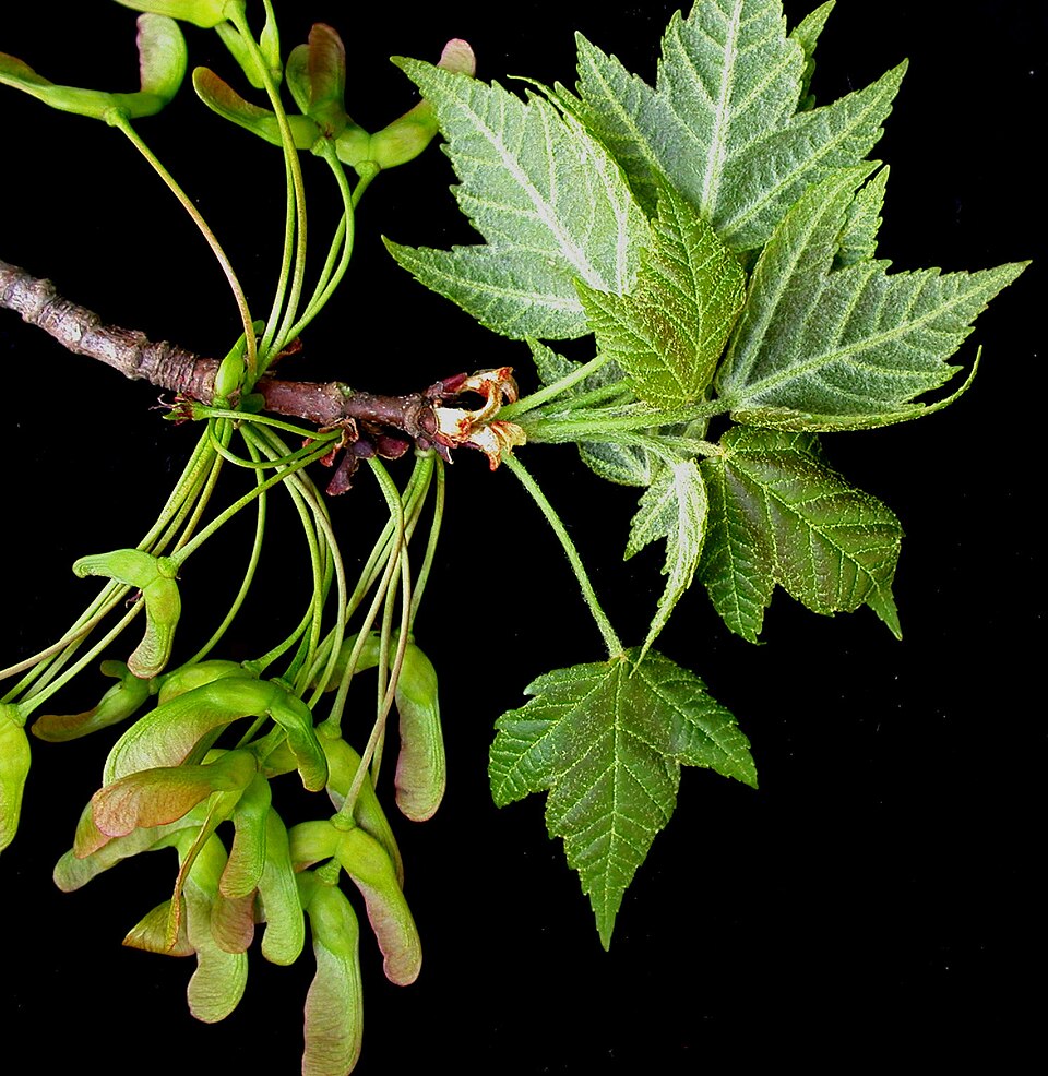
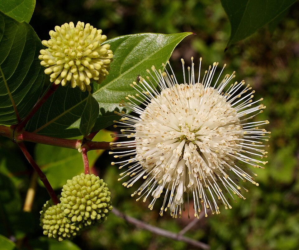
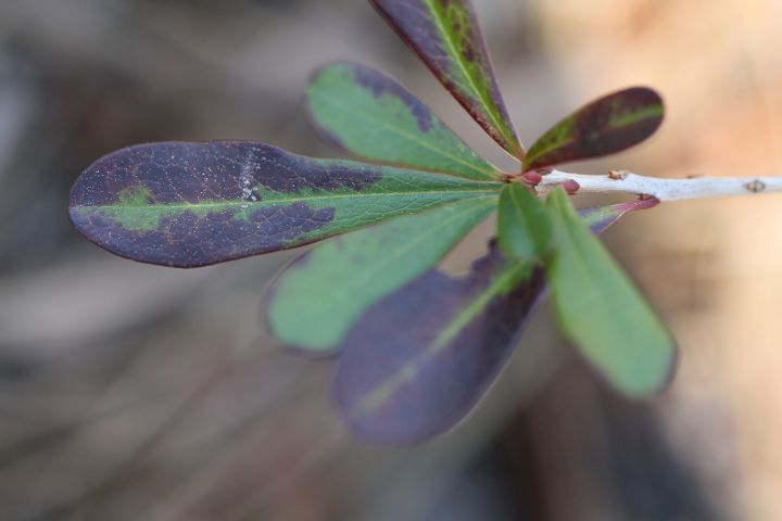
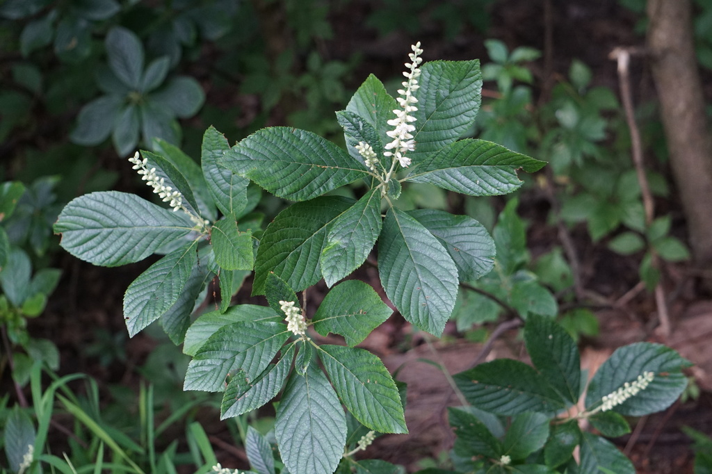
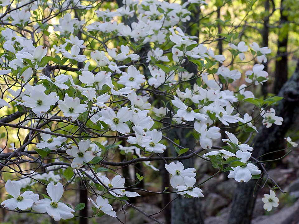
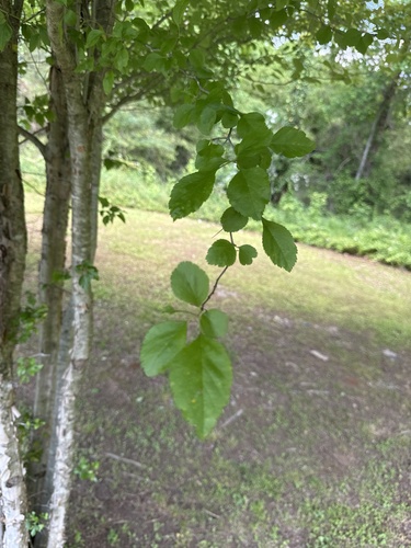
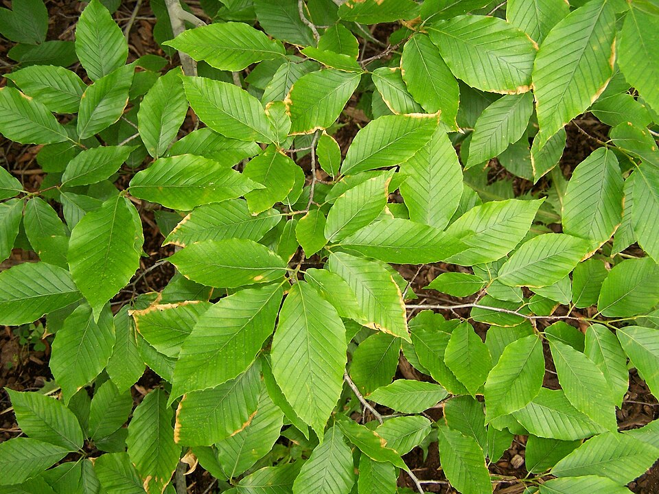
Wildlife 280
Other animals whose habitat models include the same habitats in Louisiana. Not sighting records.
- American CrowCorvus brachyrhynchos
- Chimney SwiftChaetura pelagica
- Common GrackleQuiscalus quiscula
- Common NighthawkChordeiles minor
- Common YellowthroatGeothlypis trichas
- Cooper's HawkAccipiter cooperii
- Eastern KingbirdTyrannus tyrannus
- Eastern TowheePipilo erythrophthalmus
- Fish CrowCorvus ossifragus
- Great Horned OwlBubo virginianus
- Northern CardinalCardinalis cardinalis
- Northern MockingbirdMimus polyglottos
- Red-tailed HawkButeo jamaicensis
- Red-winged BlackbirdAgelaius phoeniceus
- Sharp-shinned HawkAccipiter striatus
- Turkey VultureCathartes aura
- Yellow-breasted ChatIcteria virens
- Yellow-rumped WarblerDendroica coronata
- American GoldfinchCarduelis tristis
- Black VultureCoragyps atratus
- Black-crowned Night-heronNycticorax nycticorax
- Eurasian Collared-doveStreptopelia decaocto
- European StarlingSturnus vulgaris
- Great Crested FlycatcherMyiarchus crinitus


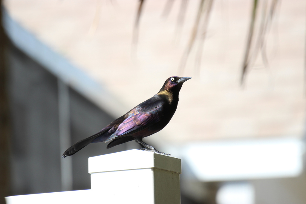

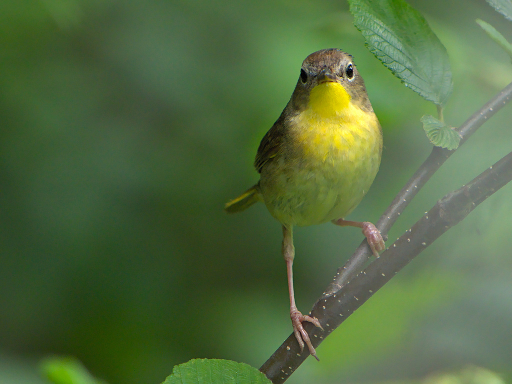


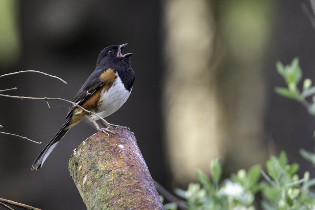

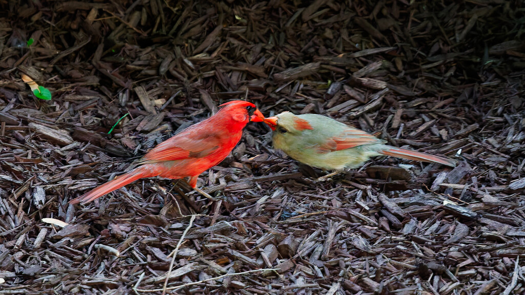
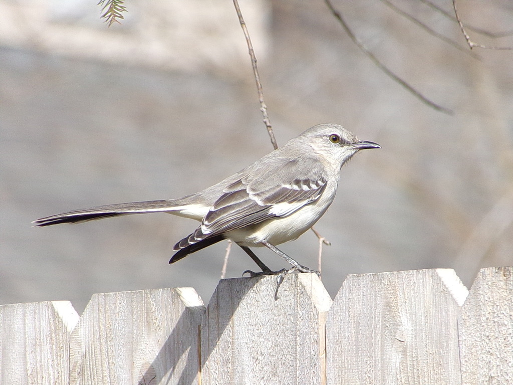
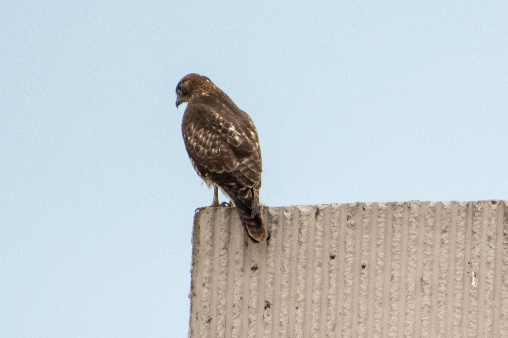
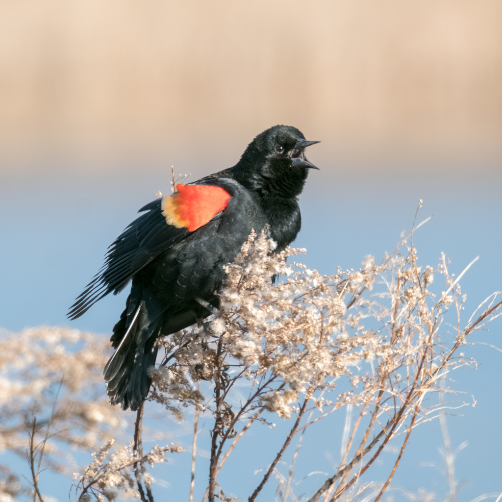
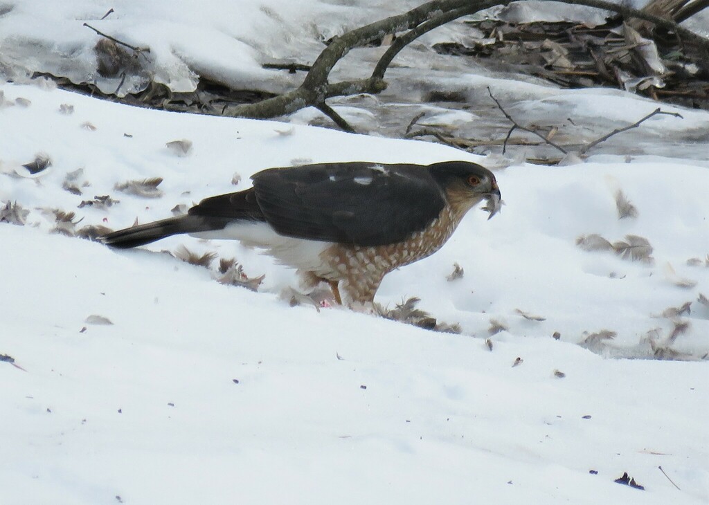
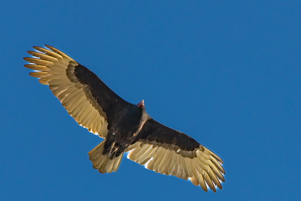
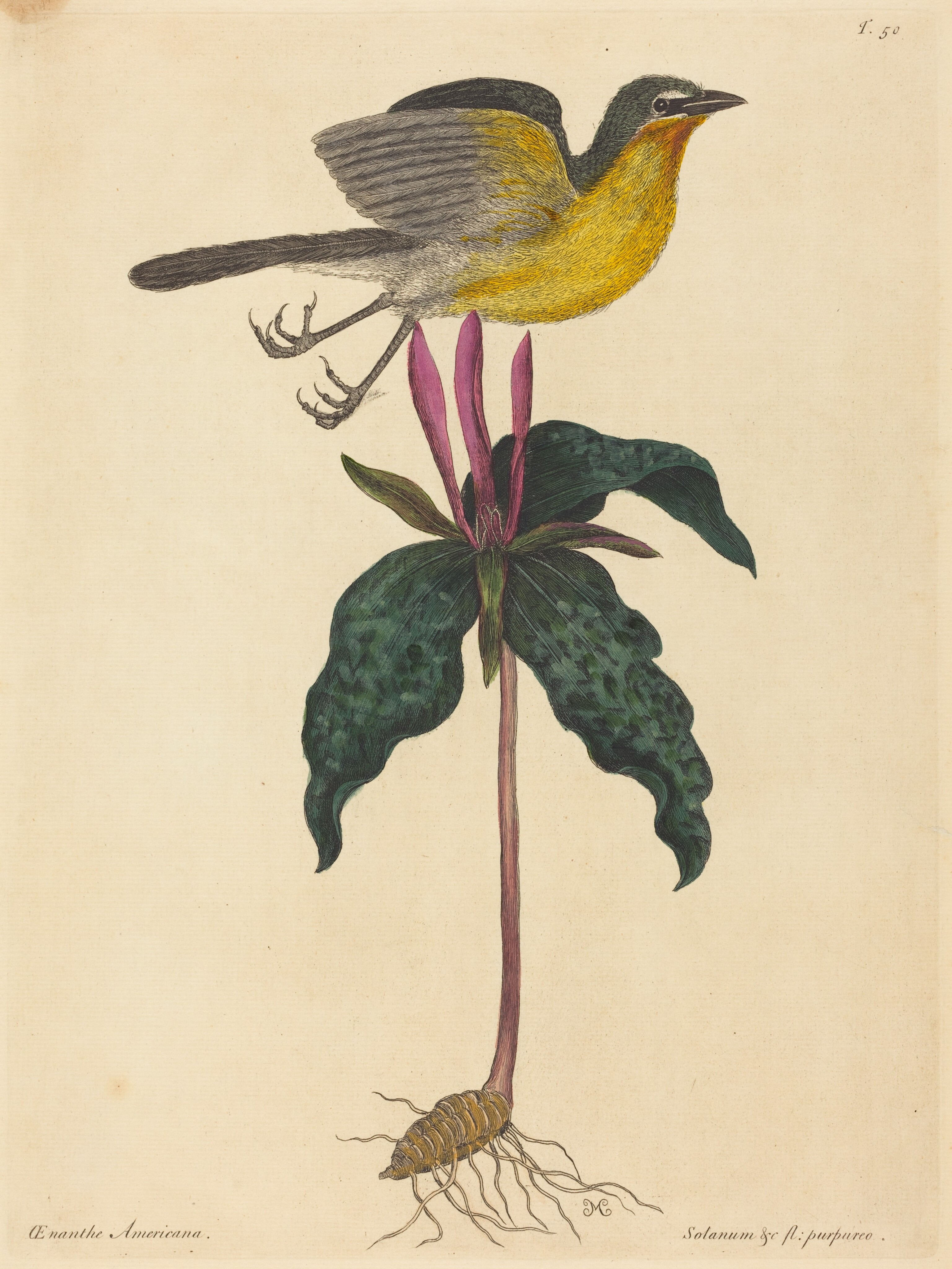
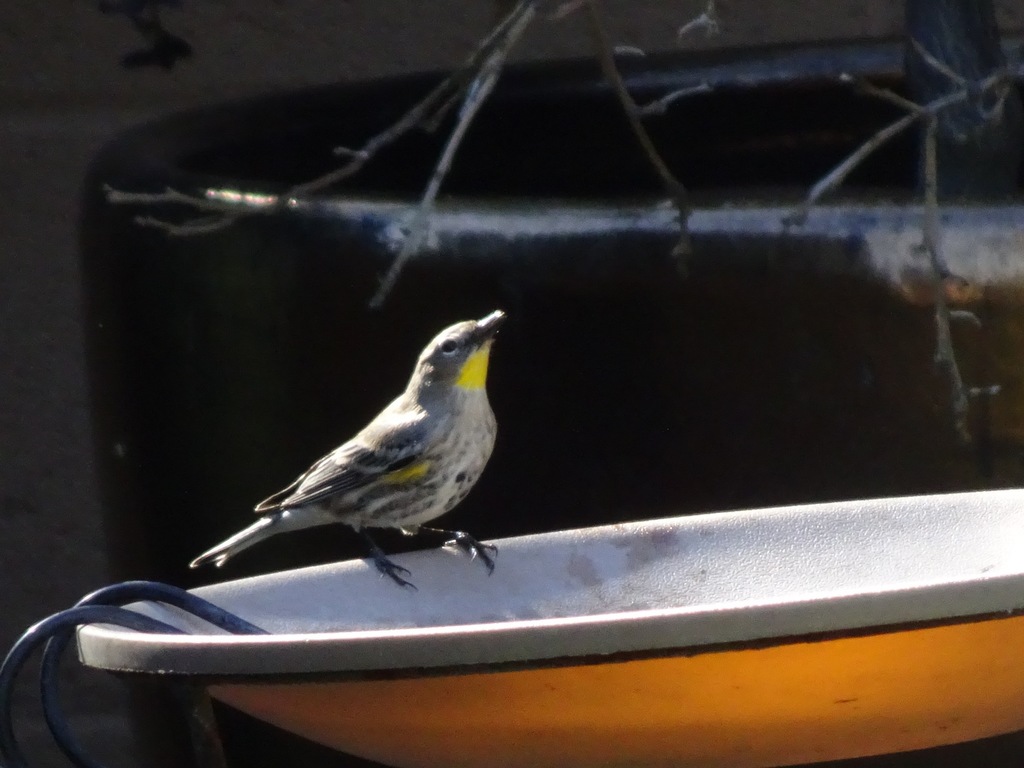

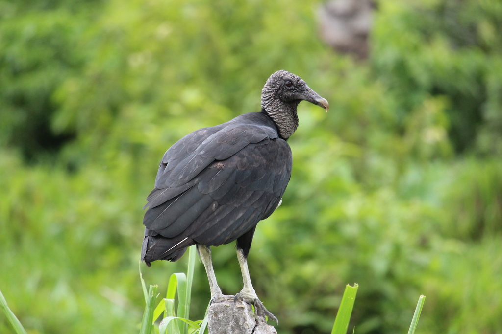

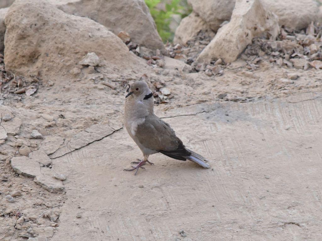
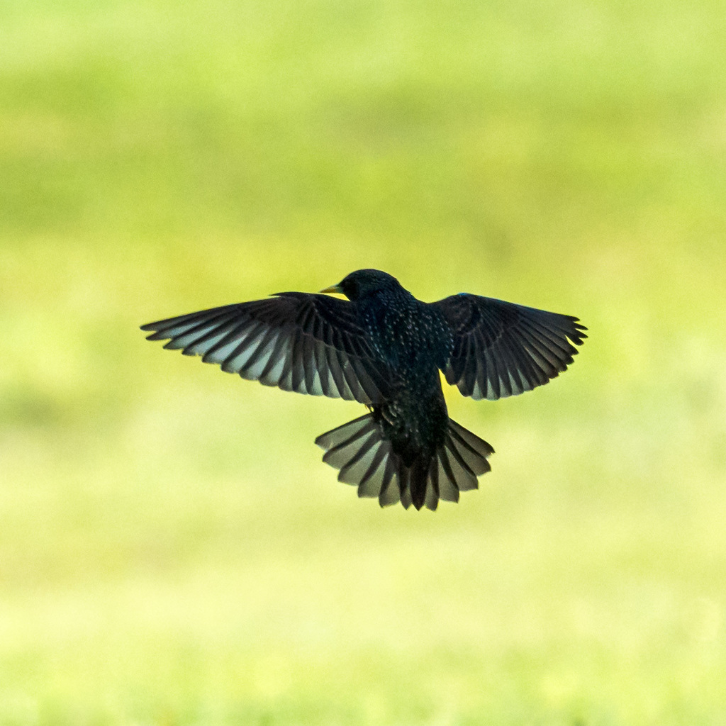
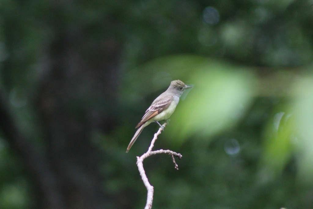
NatureServe Explorer, CC BY 4.0. USGS Gap Analysis Project habitat models.
Sources
- USGS Gap Analysis Project habitat models (2001)
- USGS GAP year-round habitat model for Red-shouldered Hawk
- USGS Gap Analysis Project range maps (2001), modeled by watershed; migratory gives no dates
- NatureServe Explorer (CC BY 4.0), habitat names
- US Census TIGER/Line counties
- Names follow the USGS Gap Analysis Project (2001)