

Bird
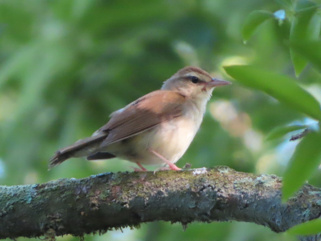
Swainson's Warbler
Limnothlypis swainsonii
A summer resident that nests in Florida. Found in all 67 counties, across 4 habitats.
- Here
- Summer and on migration
- Nesting
- Nests here
- Range
- All 67 counties
- Habitats
- 4
At a glance
- Group
- Birds
- Here
- Summer and on migration
- Nesting
- Nests here
- Range
- All 67 counties
- Habitats
- 4
- Habitat models
- Summer
Where it lives
The places its habitat model includes. It is not found everywhere a habitat occurs.
Habitats in Florida 4
Each habitat page lists the plants and wildlife also found there.
Floodplain and bottomland forests
Forests on low ground beside rivers and streams that flood from time to time.
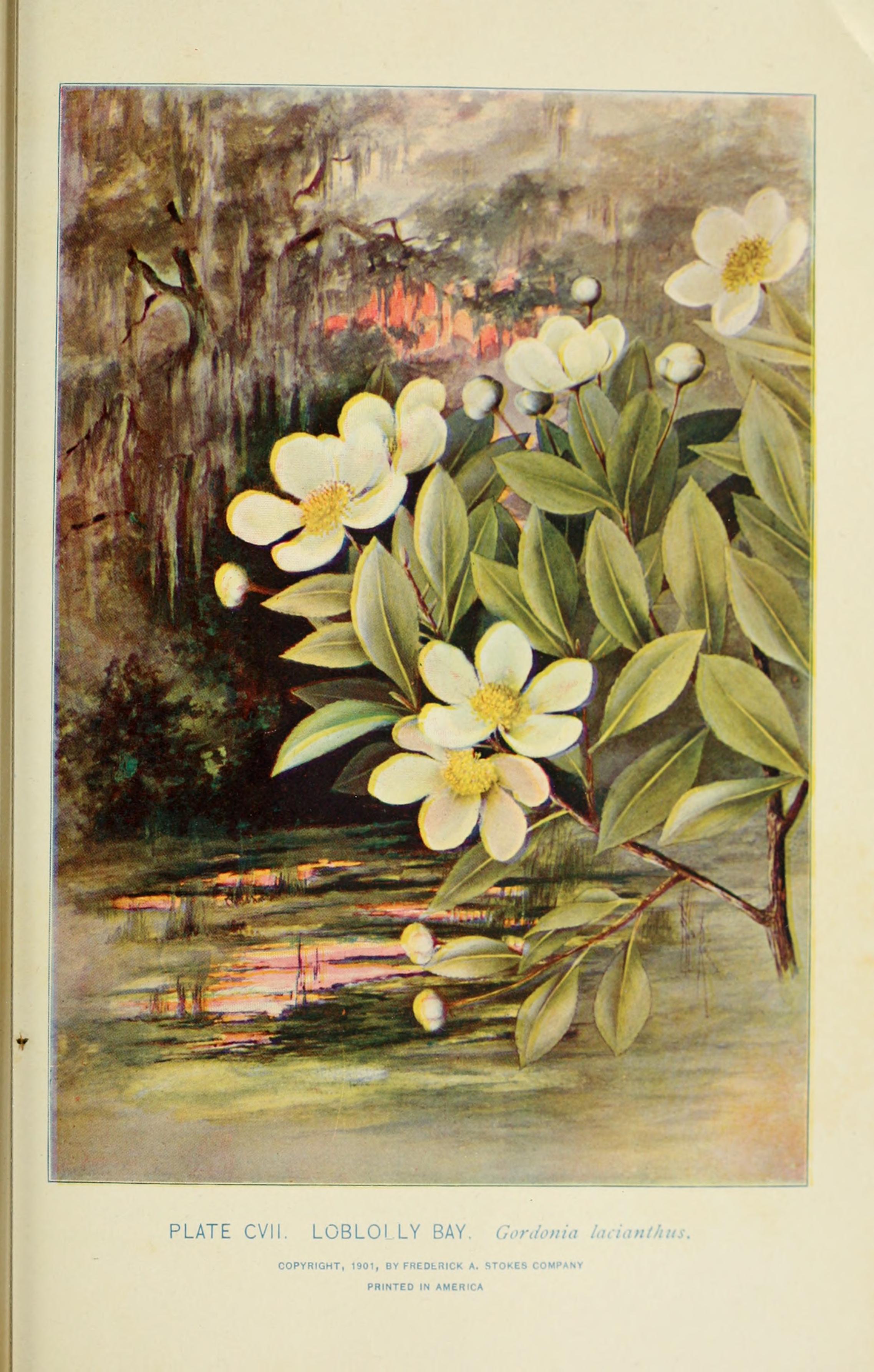
Dense evergreen shrub wetlands and bay forests on wet, acid peat of the Coastal Plain.
Forests on moist but not wet ground, such as rich slopes and ravines.
Other habitats in its models (63)
Land cover, or classes with no habitat page in Florida.
- East Gulf Coastal Plain Northern Loess Plain Oak-Hickory Upland - Hardwood Modifier Summer, only within 250 m of water.
- Northeastern Interior Dry Oak Forest-Hardwood Modifier Summer, only within 250 m of water.
- Southern and Central Appalachian Oak Forest - Xeric Summer, only within 250 m of water.
- Ozark-Ouachita Dry-Mesic Oak Forest Summer, only within 250 m of water.
- Southern Interior Low Plateau Dry-Mesic Oak Forest Summer, only within 250 m of water.
- East Gulf Coastal Plain Northern Dry Upland Hardwood Forest Summer, only within 250 m of water.
- Ouachita Montane Oak Forest Summer, only within 250 m of water.
- Southern and Central Appalachian Oak Forest Summer, only within 250 m of water.
- Allegheny-Cumberland Dry Oak Forest and Woodland - Hardwood Summer, only within 250 m of water.
- East Gulf Coastal Plain Northern Loess Bluff Forest Summer, only within 250 m of water.
- East Gulf Coastal Plain Southern Loess Bluff Forest Summer, only within 250 m of water.
- Central and South Texas Coastal Fringe Forest and Woodland Summer, only within 250 m of water.
- West Gulf Coastal Plain Chenier and Upper Texas Coastal Fringe Forest and Woodland Summer, only within 250 m of water.
- Mississippi River Alluvial Plain Dry-Mesic Loess Slope Forest Summer, only within 250 m of water.
- East-Central Texas Plains Post Oak Savanna and Woodland Summer, only within 250 m of water.
- East-Central Texas Plains Riparian Forest Summer.
- East-Central Texas Plains Floodplain Forest Summer.
- Lower Mississippi River Dune Woodland and Forest Summer.
- Southern Piedmont Mesic Forest Summer, only within 250 m of water.
- West Gulf Coastal Plain Mesic Hardwood Forest Summer, only within 250 m of water.
- East Gulf Coastal Plain Northern Mesic Hardwood Forest Summer, only within 250 m of water.
- Ozark-Ouachita Mesic Hardwood Forest Summer, only within 250 m of water.
- Southern Piedmont Dry Oak-(Pine) Forest - Hardwood Modifier Summer, only within 250 m of water.
- Southern Piedmont Dry Oak-(Pine) Forest - Mixed Modifier Summer, only within 250 m of water.
- Southern Piedmont Dry Oak-Heath Forest - Mixed Modifier Summer, only within 250 m of water.
- Northern Atlantic Coastal Plain Dry Hardwood Forest Summer, only within 250 m of water.
- Ozark-Ouachita Shortleaf Pine-Oak Forest and Woodland Summer, only within 250 m of water.
- Central Appalachian Oak and Pine Forest Summer, only within 250 m of water.
- Appalachian Hemlock-Hardwood Forest Summer, only within 250 m of water.
- West Gulf Coastal Plain Pine-Hardwood Forest Summer, only within 250 m of water.
- Southern Ridge and Valley Dry Calcareous Forest Summer, only within 250 m of water.
- West Gulf Coastal Plain Sandhill Oak and Shortleaf Pine Forest and Woodland Summer, only within 250 m of water.
- Southern and Central Appalachian Cove Forest Summer, only within 250 m of water.
- South-Central Interior Mesophytic Forest Summer, only within 250 m of water.
- Atlantic Coastal Plain Mesic Hardwood and Mixed Forest Summer, only within 250 m of water.
- Ozark-Ouachita Shortleaf Pine-Bluestem Woodland Summer, only within 250 m of water.
- West Gulf Coastal Plain Near-Coast Large River Swamp Summer.
- Northern Atlantic Coastal Plain Basin Swamp and Wet Hardwood Forest Summer.
- Atlantic Coastal Plain Nonriverine Swamp and Wet Hardwood Forest - Taxodium/Nyssa Modifier Summer.
- Atlantic Coastal Plain Nonriverine Swamp and Wet Hardwood Forest - Oak Dominated Modifier Summer.
- Atlantic Coastal Plain Clay-Based Carolina Bay Forested Wetland Summer.
- Lower Mississippi River Bottomland Depressions - Forest Modifier Summer.
- Southern Piedmont/Ridge and Valley Upland Depression Swamp Summer.
- Mississippi River Bottomland Depression Summer.
- Central Appalachian Floodplain - Forest Modifier Summer.
- Central Appalachian Riparian - Forest Modifier Summer.
- South-Central Interior Large Floodplain - Forest Modifier Summer.
- Southern Piedmont Large Floodplain Forest - Forest Modifier Summer.
- South-Central Interior Large Floodplain - Herbaceous Modifier Summer.
- Mississippi River Riparian Forest Summer.
- Mississippi River Low Floodplain (Bottomland) Forest Summer.
- West Gulf Coastal Plain Small Stream and River Forest Summer.
- West Gulf Coastal Plain Large River Floodplain Forest Summer.
- Southern Piedmont Small Floodplain and Riparian Forest Summer.
- Atlantic Coastal Plain Small Brownwater River Floodplain Forest Summer.
- Red River Large Floodplain Forest Summer.
- Atlantic Coastal Plain Brownwater Stream Floodplain Forest Summer.
- South-Central Interior Small Stream and Riparian Summer.
- Mississippi River Floodplain and Riparian Forest Summer.
- Ozark-Ouachita Riparian Summer.
- West Gulf Coastal Plain Pine-Hardwood Flatwoods Summer, only within 250 m of water.
- Lower Mississippi River Flatwoods Summer, only within 250 m of water.
- West Gulf Coastal Plain Nonriverine Wet Hardwood Flatwoods Summer.
Seasons in Florida
- Migratory: does not nest here, in 41 of 67 counties.
- Summer: nests here, in 34 of 67 counties.
Also found in this habitat
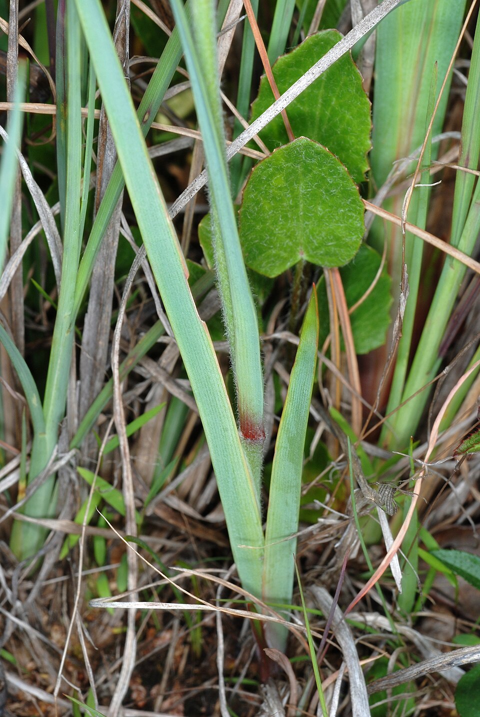
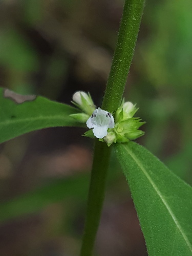
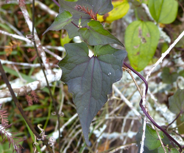
Plants 299
Plants named in NatureServe descriptions of these habitats that grow in Florida. Shared habitat, not food.
- Lejeunea floridanaLejeunea floridana
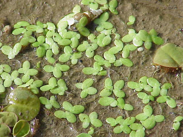
- Common DuckweedLemna minor
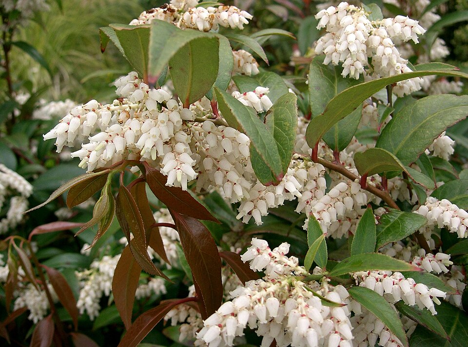
- Coastal DoghobbleLeucothoe axillaris
- Gholson's GayfeatherLiatris gholsonii
- Godfrey's GayfeatherLiatris provincialis
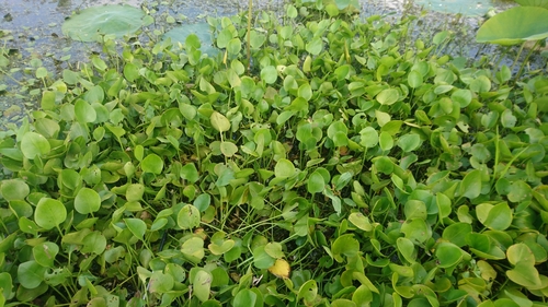
- American Frog's-bitLimnobium spongia
- PondberryLindera melissifolia
- Bog SpicebushLindera subcoriacea
- Yellowseed False-pimpernelLindernia dubia
- Southern StoneseedLithospermum tuberosum
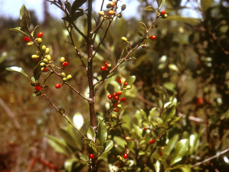
- PondspiceLitsea aestivalis
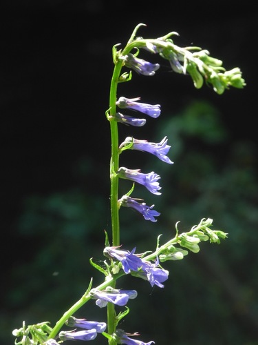
- Southern LobeliaLobelia amoena
- Boykin's LobeliaLobelia boykinii
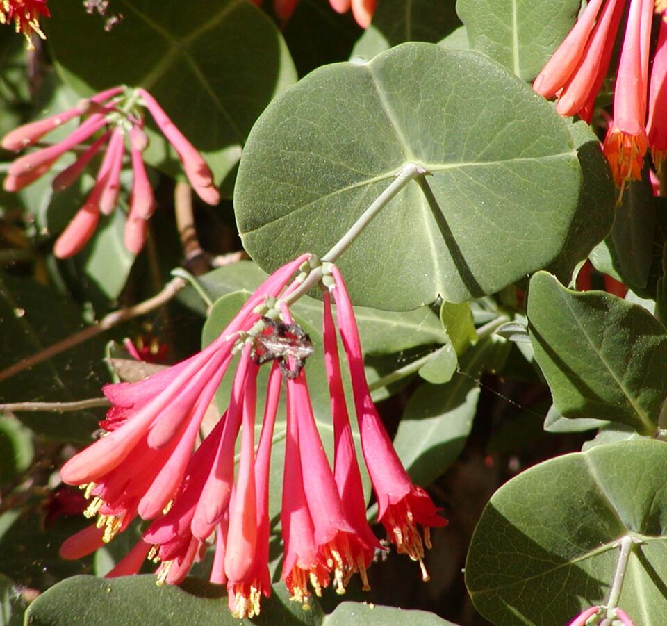
- Coral HoneysuckleLonicera sempervirens
- Golden-crestLophiola aurea
- Ludwigia spathulataLudwigia spathulata
- Taperleaf BugleweedLycopus rubellus
- Lythrum curtissiiLythrum curtissii
- White Birds-in-a-nestMacbridea alba
- Pyramid MagnoliaMagnolia pyramidata
- Matelea flavidulaMatelea flavidula
- Florida PoisontreeMetopium toxiferum
- Climbing HempweedMikania scandens
- Red MulberryMorus rubra
Wildlife 171
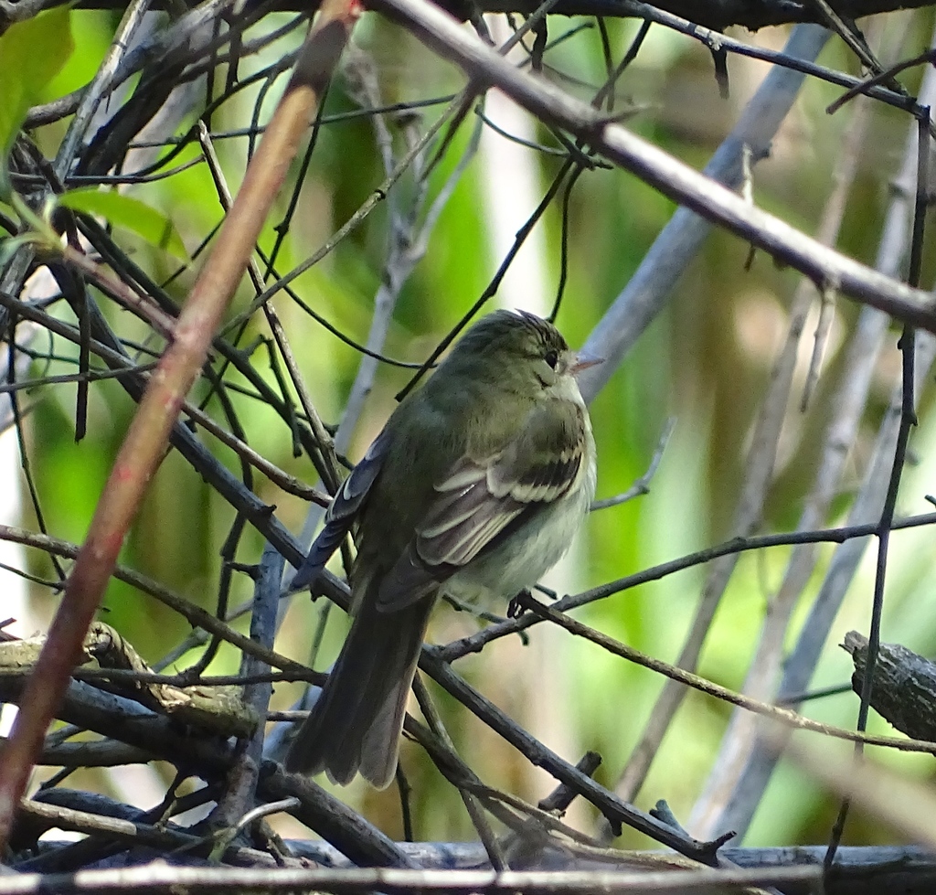
Other animals whose habitat models include the same habitats in Florida. Not sighting records.
- Acadian FlycatcherEmpidonax virescens
- American CrowCorvus brachyrhynchos
- American GoldfinchCarduelis tristis
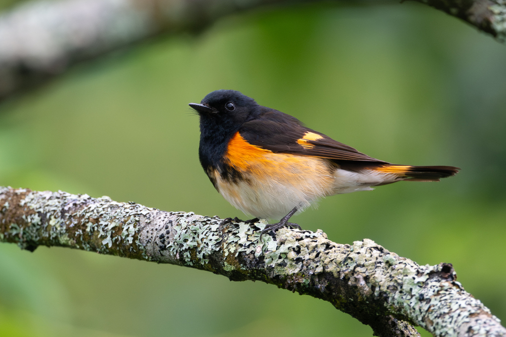
- American RedstartSetophaga ruticilla
- American RobinTurdus migratorius
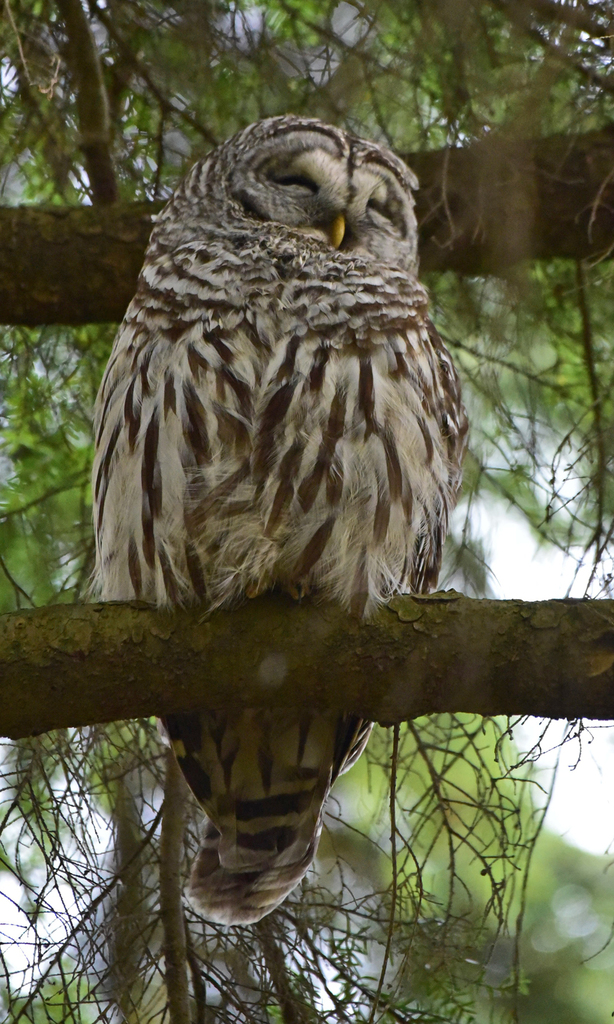
- Barred OwlStrix varia
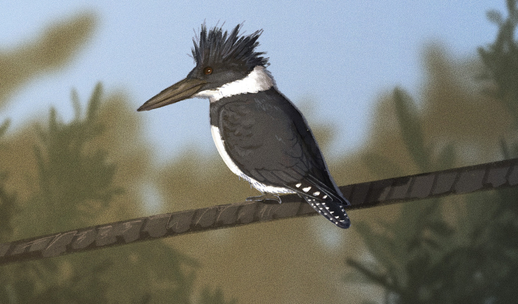
- Belted KingfisherMegaceryle alcyon
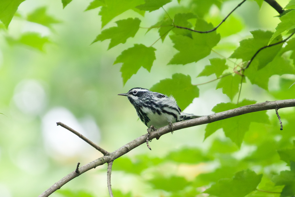
- Black-and-White WarblerMniotilta varia
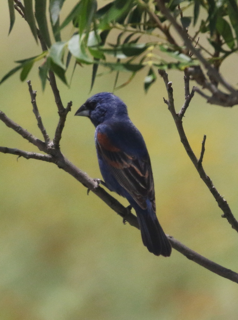
- Blue GrosbeakPasserina caerulea
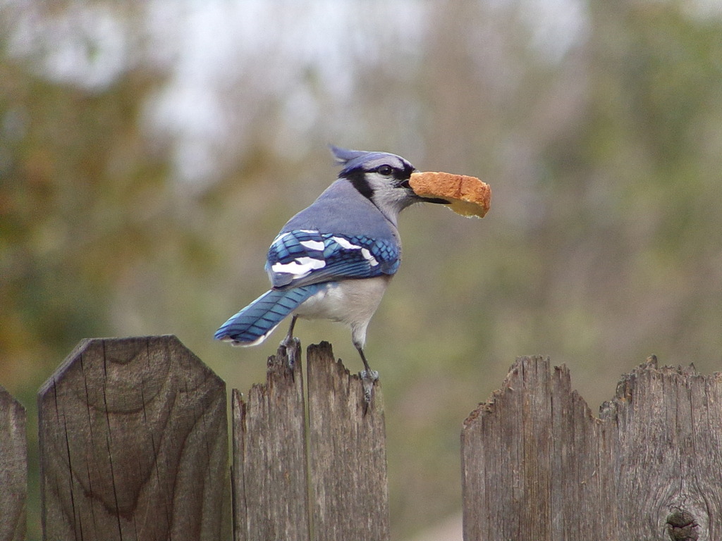
- Blue JayCyanocitta cristata
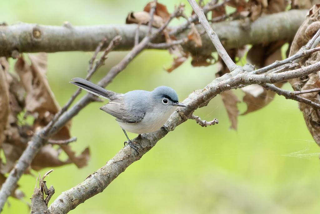
- Blue-gray GnatcatcherPolioptila caerulea
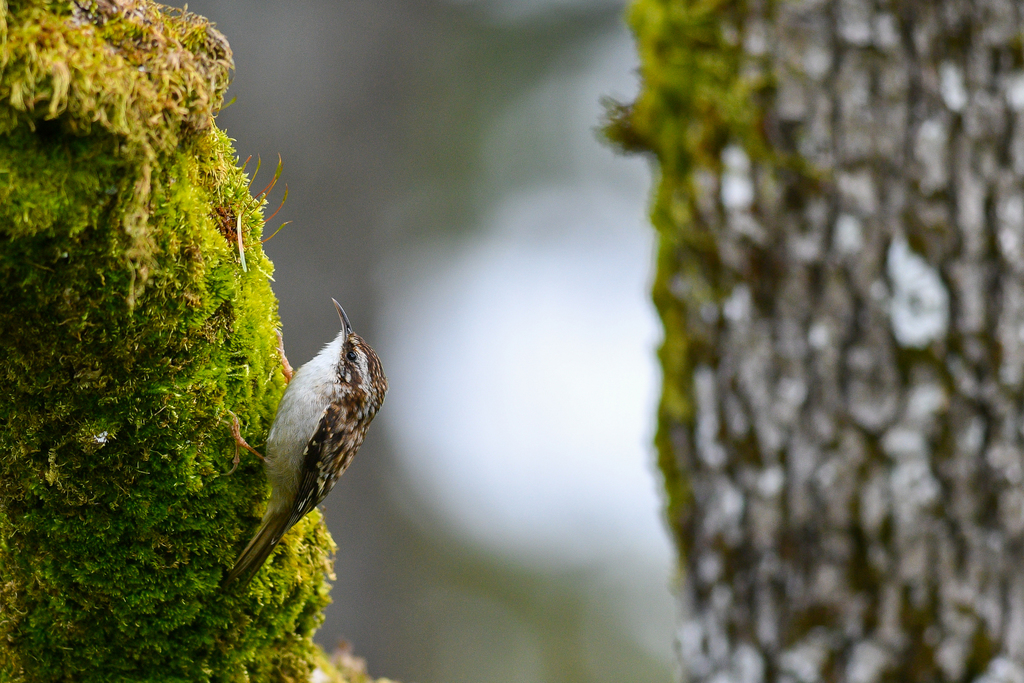
- Brown CreeperCerthia americana
- Carolina ChickadeePoecile carolinensis
- Carolina WrenThryothorus ludovicianus
- Cedar WaxwingBombycilla cedrorum
- Common GrackleQuiscalus quiscula
- Common NighthawkChordeiles minor
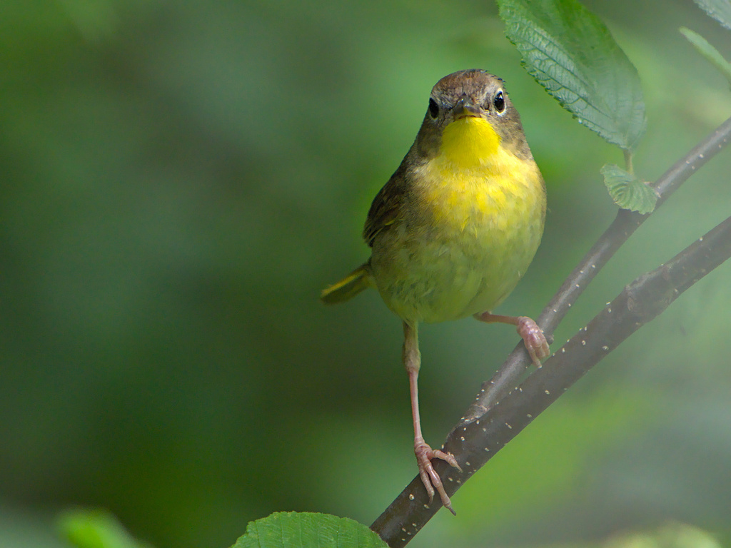
- Common YellowthroatGeothlypis trichas
- Cooper's HawkAccipiter cooperii
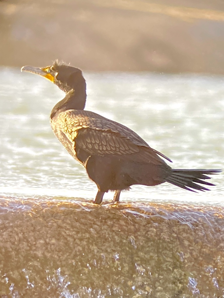
- Double-crested CormorantPhalacrocorax auritus
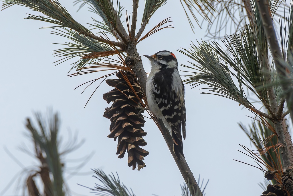
- Downy WoodpeckerPicoides pubescens
- Eastern KingbirdTyrannus tyrannus
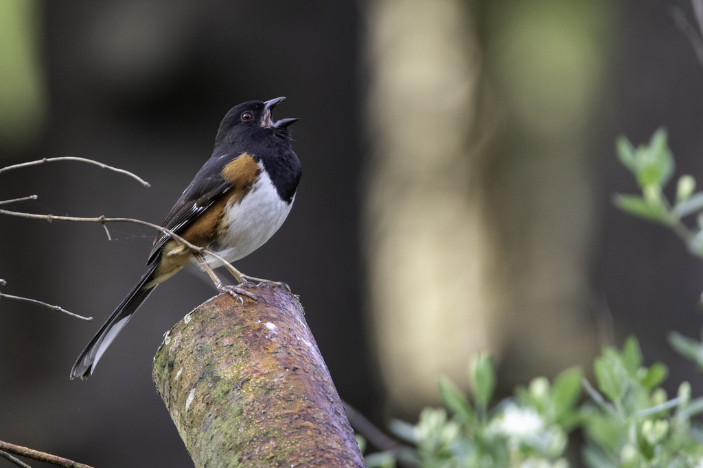
- Eastern TowheePipilo erythrophthalmus
- Eastern Wood-peweeContopus virens



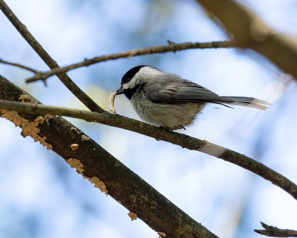
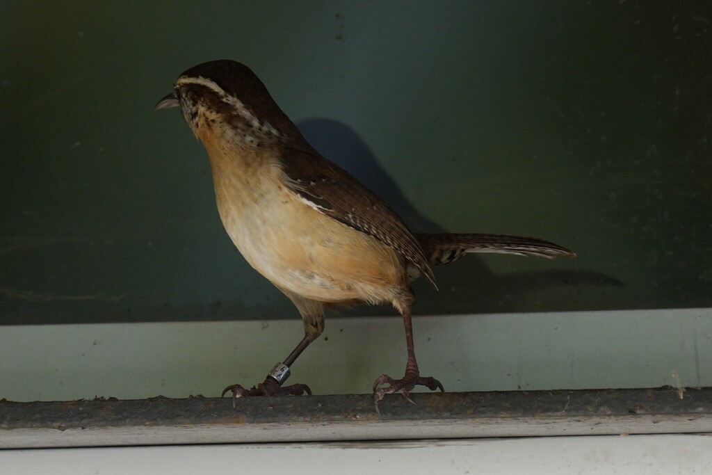
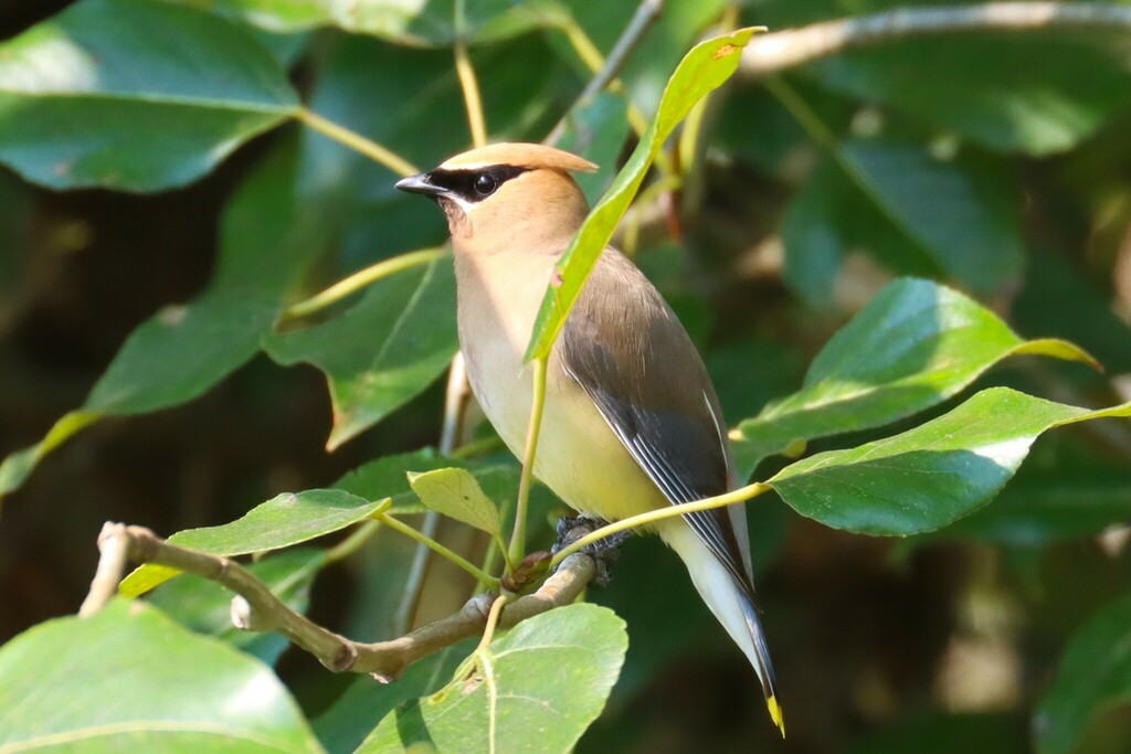
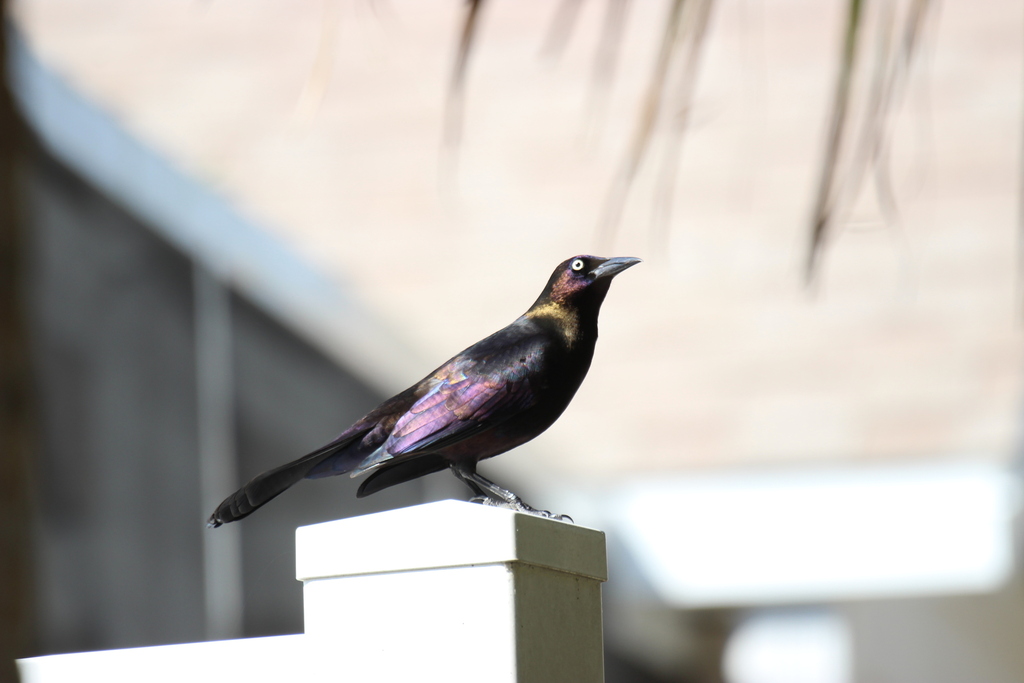



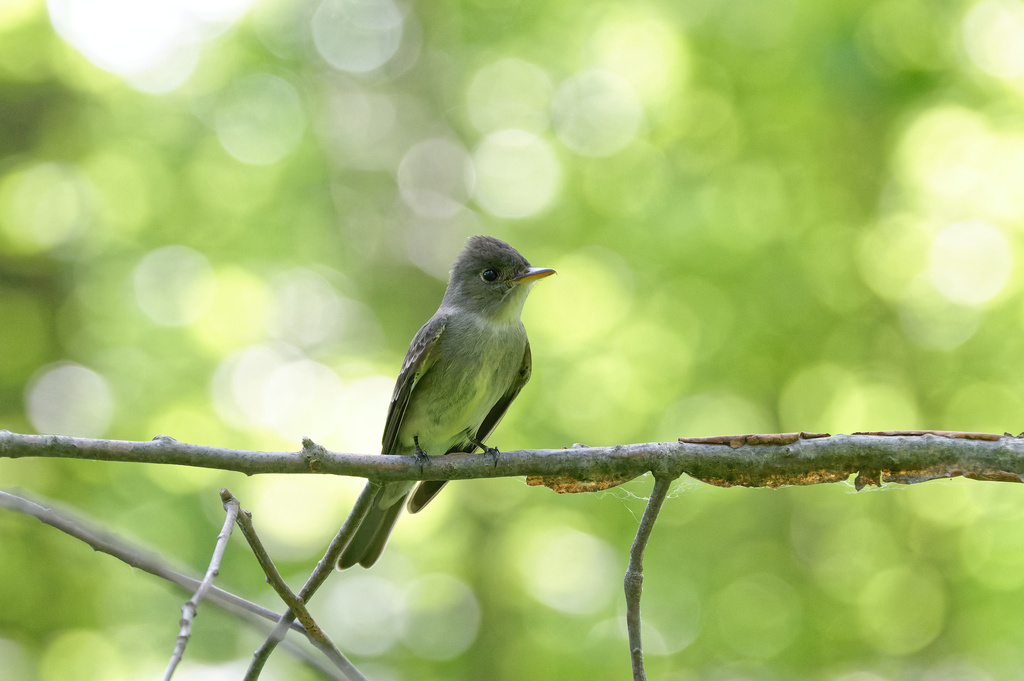
NatureServe Explorer, CC BY 4.0. USGS Gap Analysis Project habitat models.
Sources
- USGS Gap Analysis Project habitat models (2001)
- USGS GAP summer habitat model for Swainson's Warbler Elevation 0 to 1,200 m
- USGS Gap Analysis Project range maps (2001), modeled by watershed; migratory gives no dates
- NatureServe Explorer (CC BY 4.0), habitat names
- US Census TIGER/Line counties
- Names follow the USGS Gap Analysis Project (2001)