

Bird
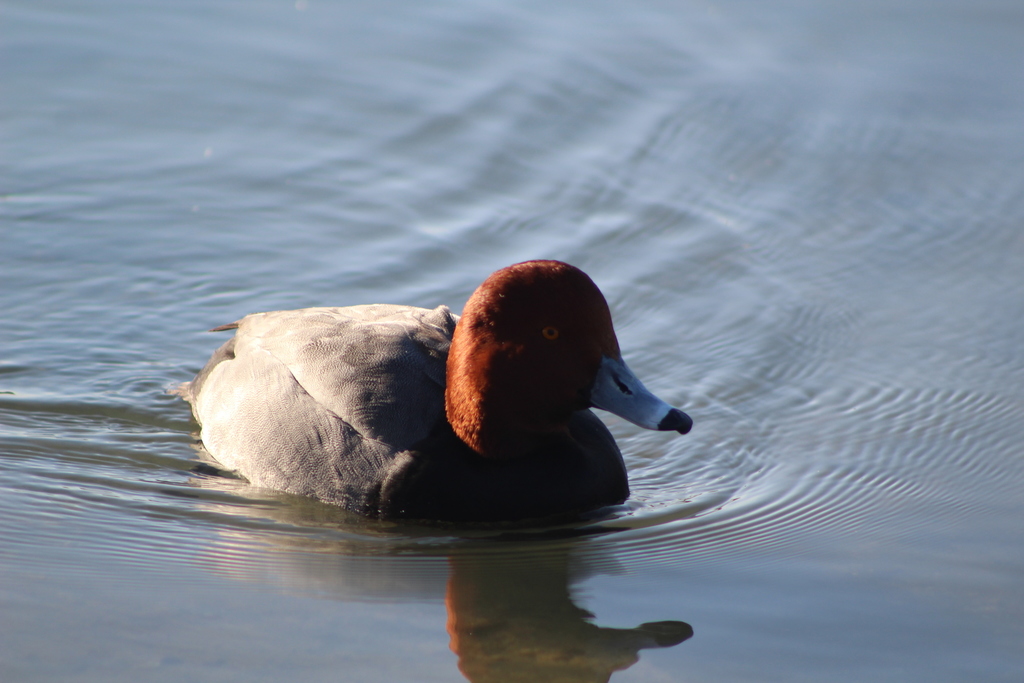
Redhead
Aythya americana
A winter visitor to Florida, found in all 67 counties and 8 habitats.
- Here
- Winter
- Nesting
- Not known to nest here
- Range
- All 67 counties
- Habitats
- 8
At a glance
- Group
- Birds
- Here
- Winter
- Nesting
- Not known to nest here
- Range
- All 67 counties
- Habitats
- 8
- Habitat models
- Winter
Where it lives
The places its habitat model includes. It is not found everywhere a habitat occurs.
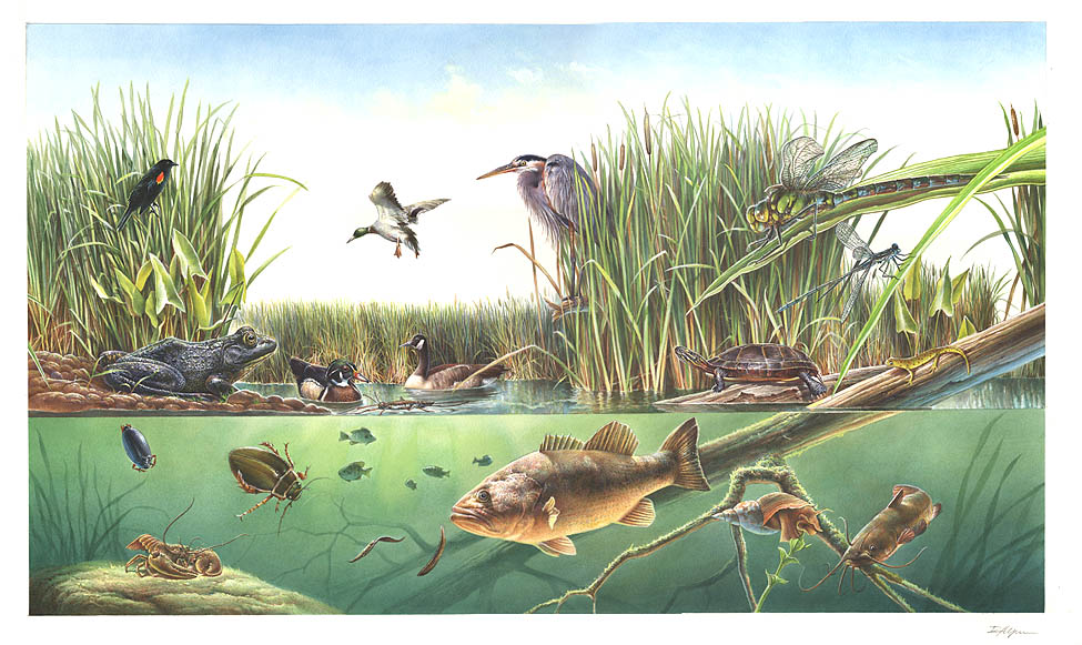
Habitats in Florida 8
Each habitat page lists the plants and wildlife also found there.
Open sand of beaches, dunes and the hollows between them.
Coastal tidal marshes (salinity not stated)
Tidal marshes of the Atlantic and Gulf coasts where the source does not say whether the water is fresh, brackish or salt. A stated salinity files the marsh under freshwater tidal marshes or salt and brackish marshes instead.
Marshes along tidal rivers where the water is fresh but rises and falls with the tide.
Coastal marshes flooded by salty or brackish tides.
Salt and brackish open water of sounds, bays and estuaries, with the mud and sand flats and seagrass beds that tides cover and uncover; the vegetated marsh is salt and brackish marshes.
Other habitats in its models (9)
Land cover, or classes with no habitat page in Florida.
- Open Water (Aquaculture) Winter.
- Unconsolidated Shore (Lake/River/Pond) Winter.
- Unconsolidated Shore Winter.
- Atlantic Coastal Plain Embayed Region Tidal Salt and Brackish Marsh Winter.
- Atlantic Coastal Plain Northern Tidal Salt Marsh Winter.
- West Gulf Coastal Plain Seepage Swamp and Baygall Winter.
- Atlantic Coastal Plain Embayed Region Tidal Freshwater Marsh Winter.
- Atlantic Coastal Plain Northern Fresh and Oligohaline Tidal Marsh Winter.
- East Gulf Coastal Plain Southern Depression Pondshore Winter.
Seasons in Florida
- Winter: does not nest here, in all 67 counties.
Also found in this habitat
Plants 188
Plants named in NatureServe descriptions of these habitats that grow in Florida. Shared habitat, not food.
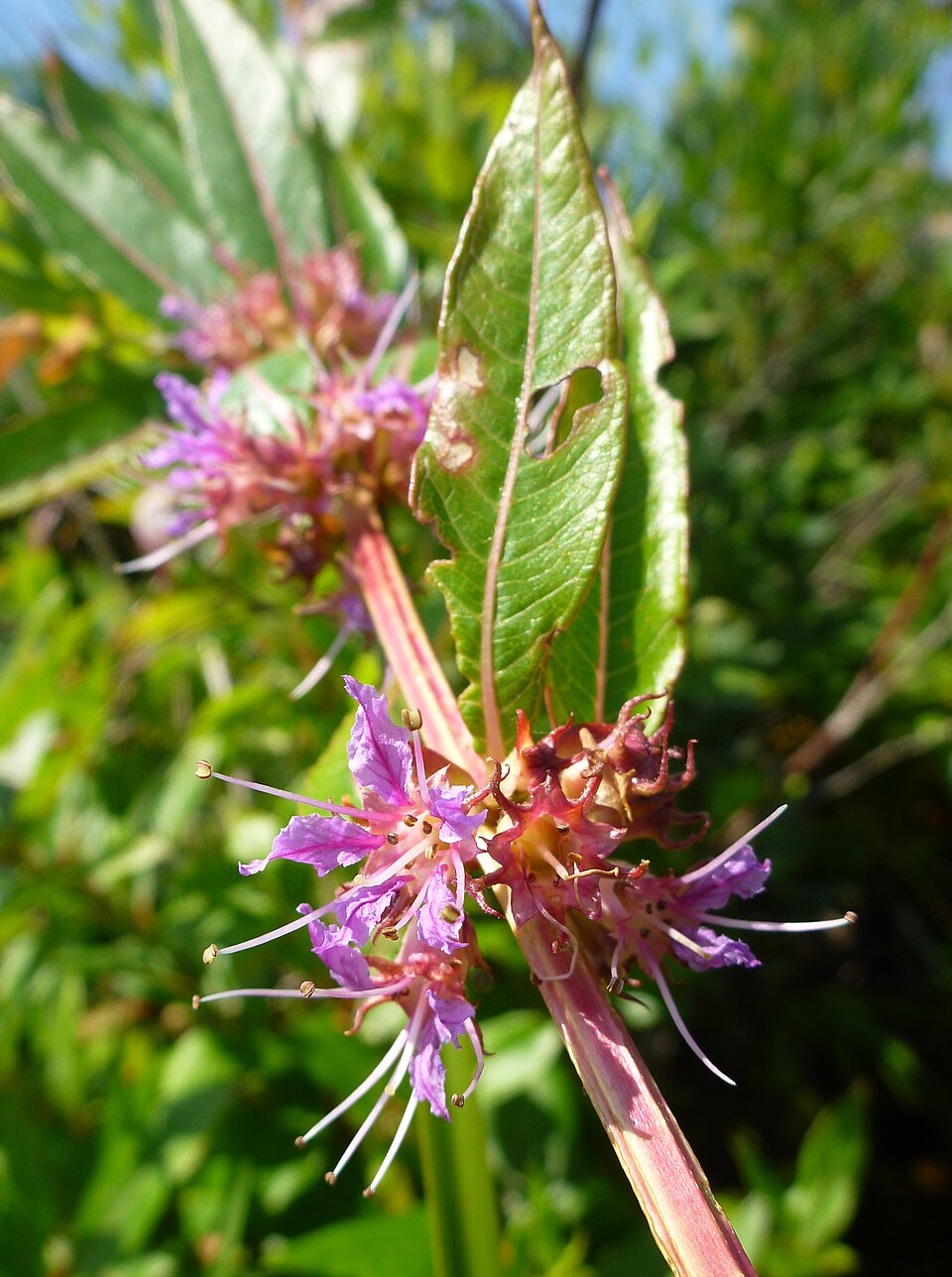
- Swamp LoosestrifeDecodon verticillatus
- Erectleaf WitchgrassDichanthelium erectifolium
- Southern Wood-fernDryopteris ludoviciana
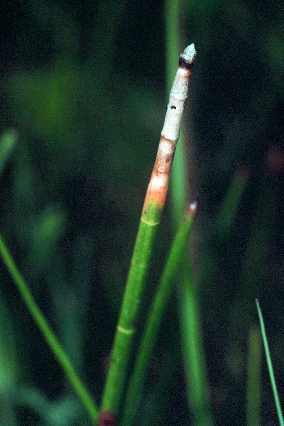
- Horsetail SpikerushEleocharis equisetoides
- Beaked SpikerushEleocharis rostellata
- Semaphore ThoroughwortEupatorium mikanioides
- Forestiera godfreyiForestiera godfreyi
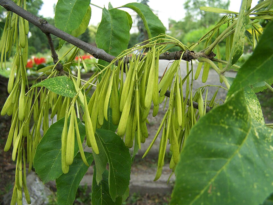
- Green AshFraxinus pennsylvanica
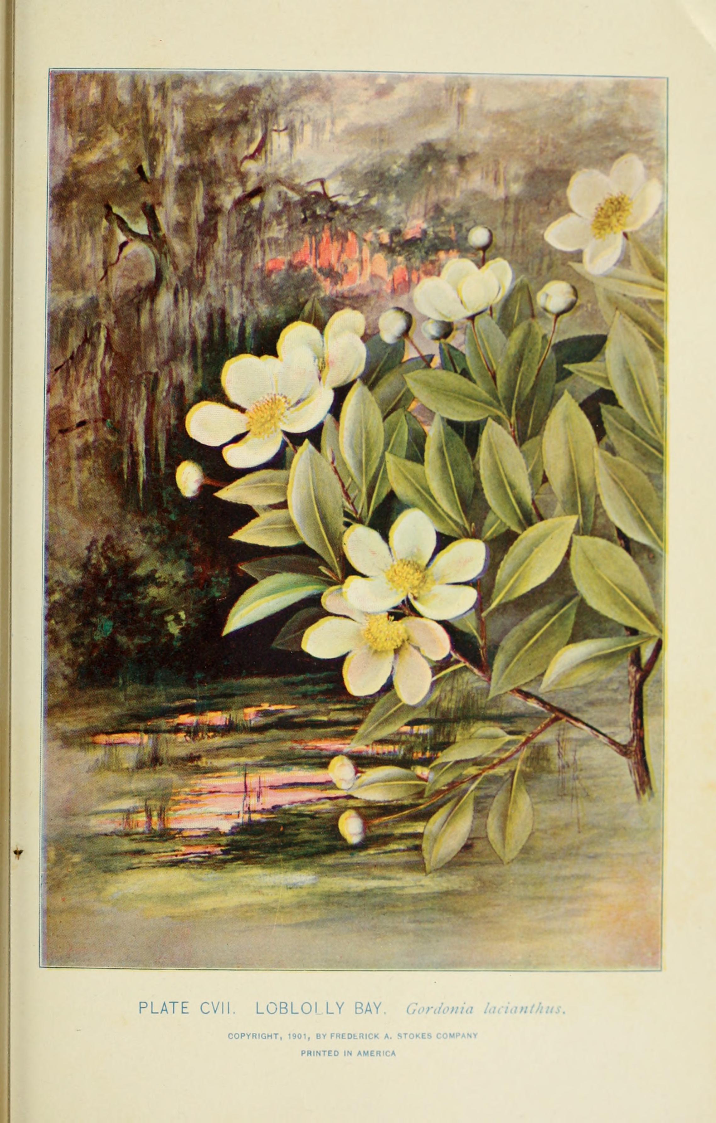
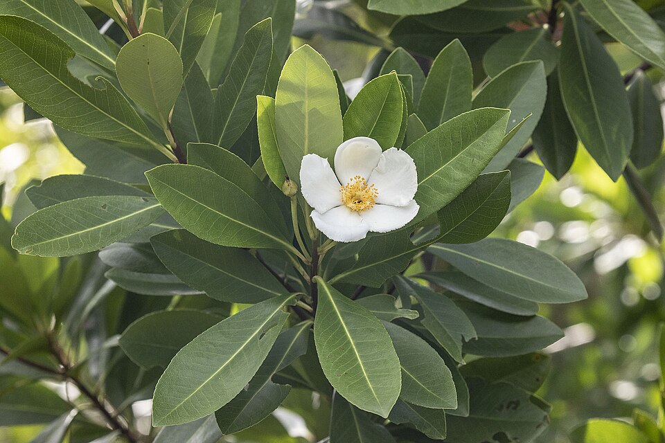
- Loblolly BayGordonia lasianthus
- Water-spider OrchidHabenaria repens
- Hartwrightia floridanaHartwrightia floridana
- HammockherbHasteola robertiorum
- Godfrey's SpiderlilyHymenocallis godfreyi
- AlligatorlilyHymenocallis palmeri
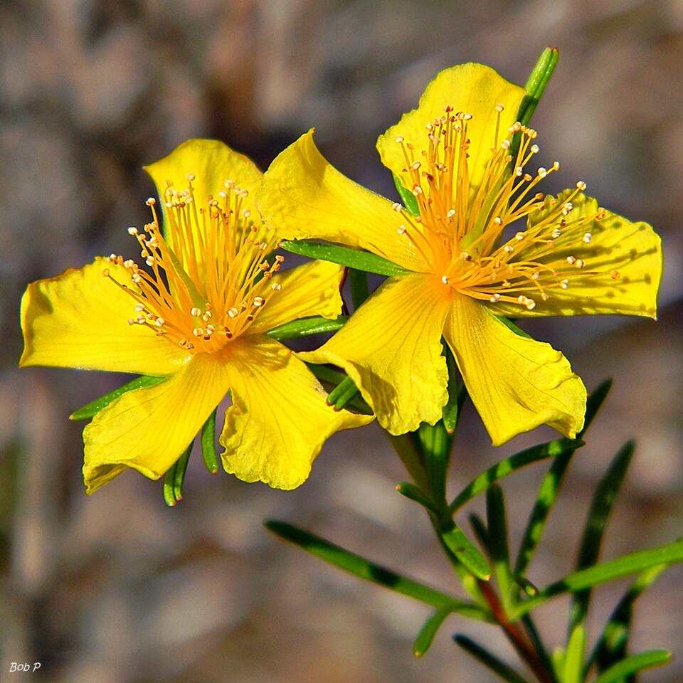
- Apalachicola St.john's-wortHypericum chapmanii
- Peelbark St. John's-wortHypericum fasciculatum
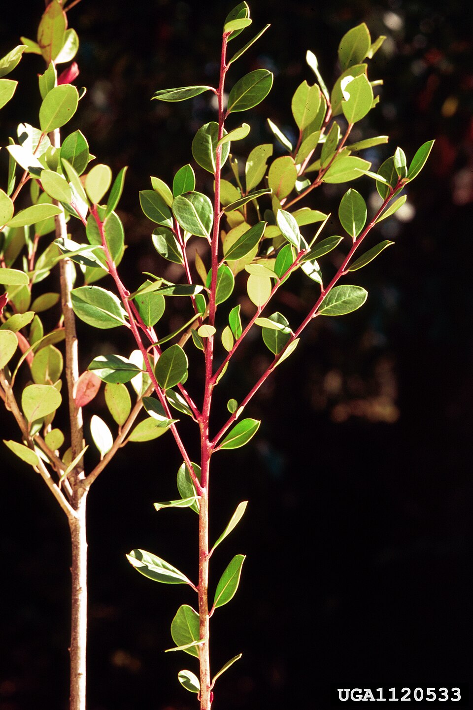
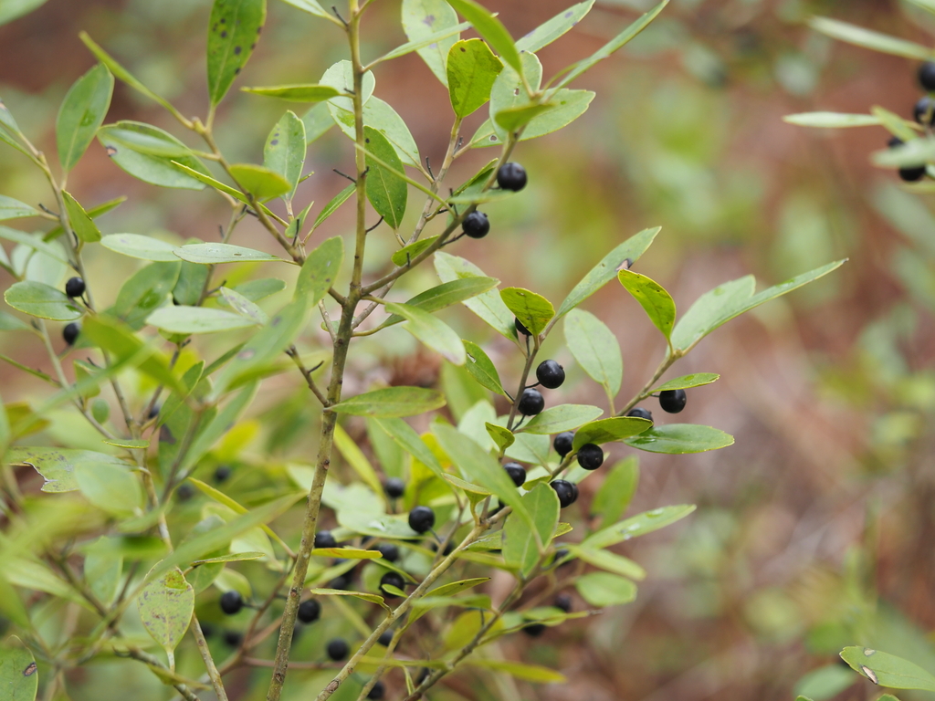
- Large GallberryIlex coriacea
- InkberryIlex glabra
- Illicium floridanumIllicium floridanum
- Virginia SweetspireItea virginica
- Creeping RushJuncus repens
- Small's BogbuttonLachnocaulon minus
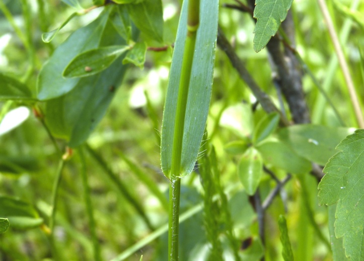
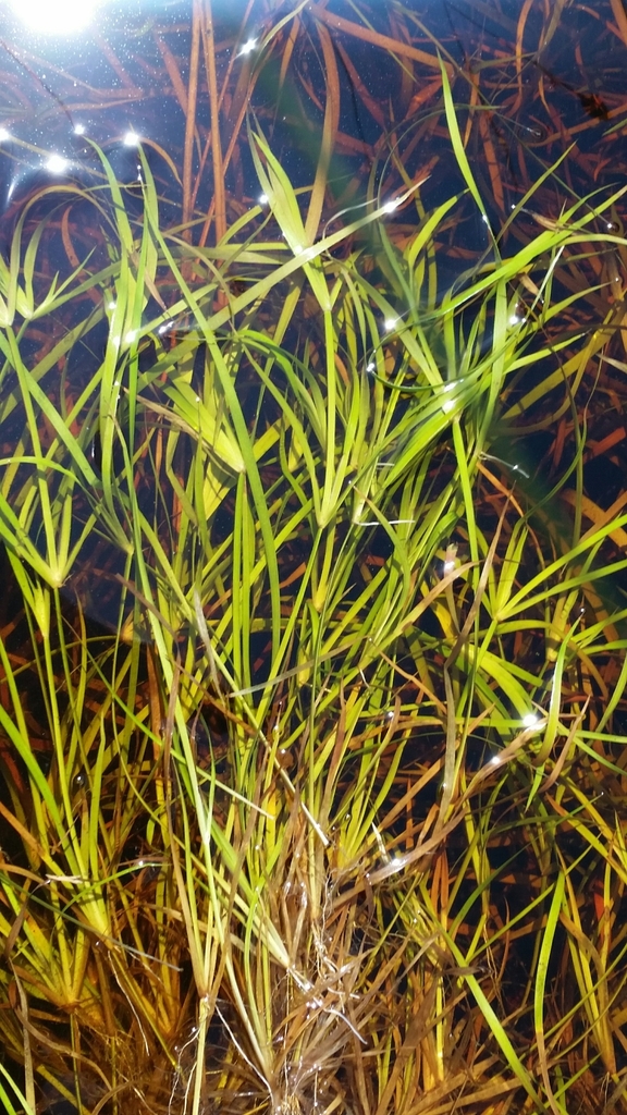
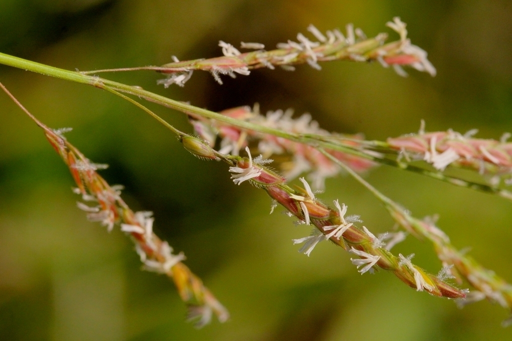
- Southern CutgrassLeersia hexandra
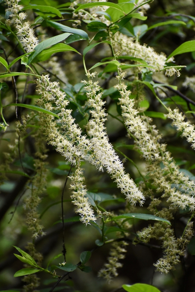
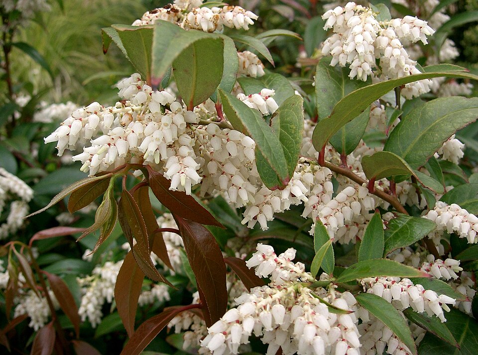
- Coastal DoghobbleLeucothoe axillaris
Wildlife 246
Other animals whose habitat models include the same habitats in Florida. Not sighting records.
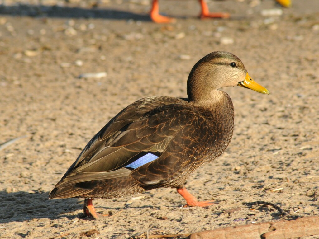
- American Black DuckAnas rubripes
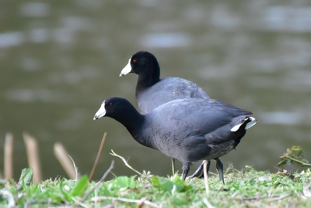
- American CootFulica americana
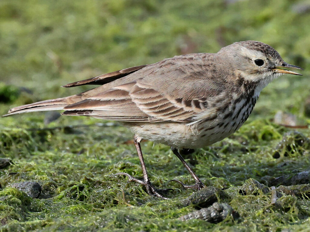
- American PipitAnthus rubescens
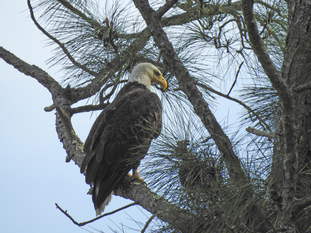
- Bald EagleHaliaeetus leucocephalus
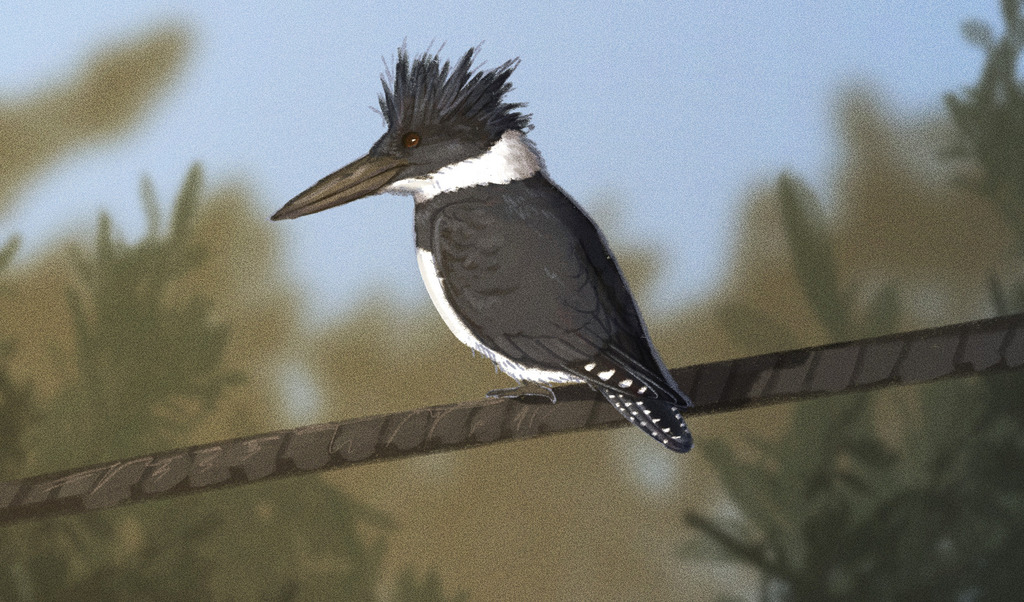
- Belted KingfisherMegaceryle alcyon
- Black-crowned Night-heronNycticorax nycticorax
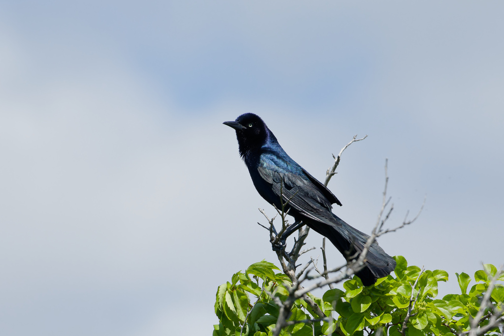
- Boat-tailed GrackleQuiscalus major
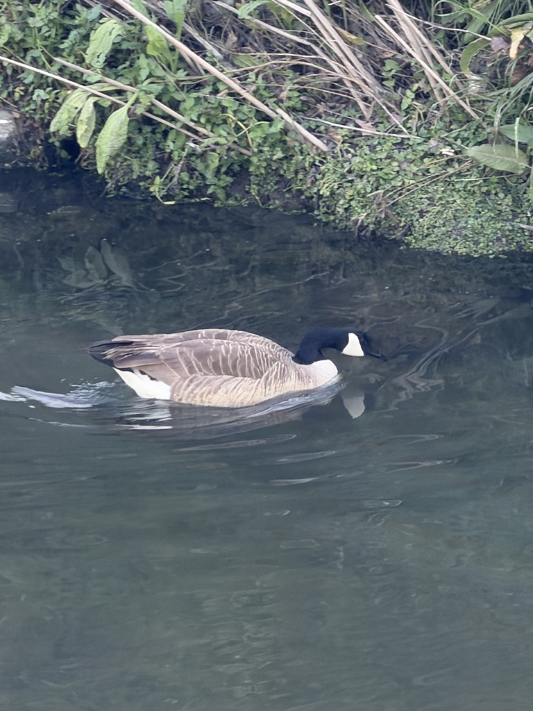
- Canada GooseBranta canadensis
- Common NighthawkChordeiles minor
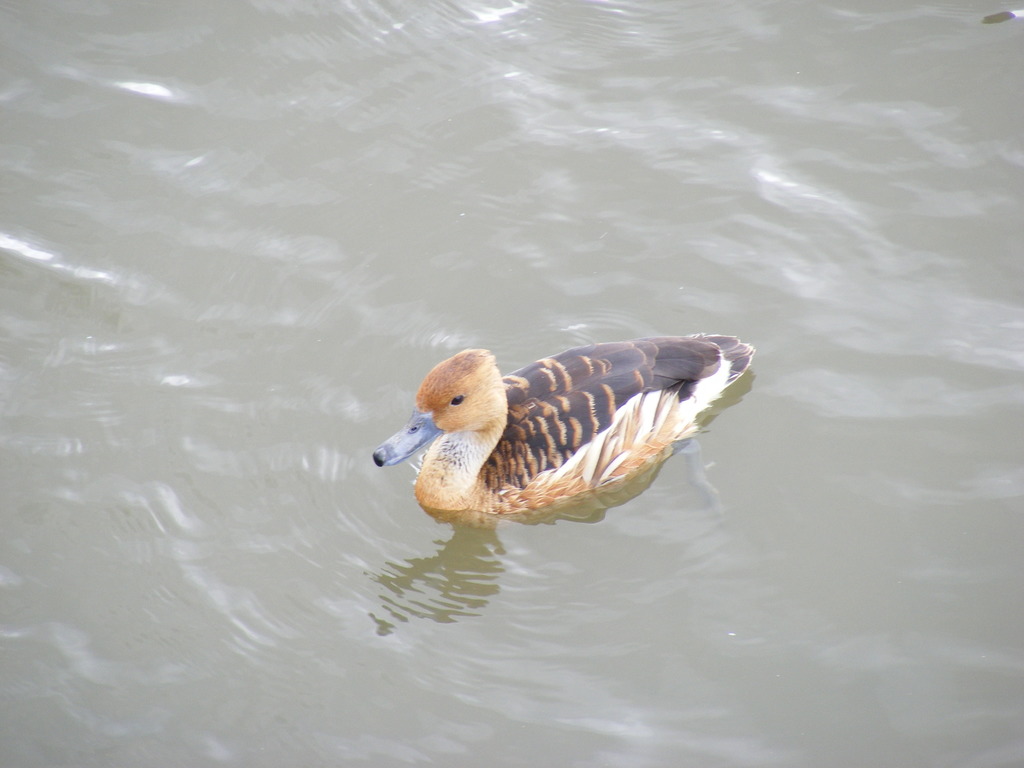
- Fulvous Whistling-duckDendrocygna bicolor
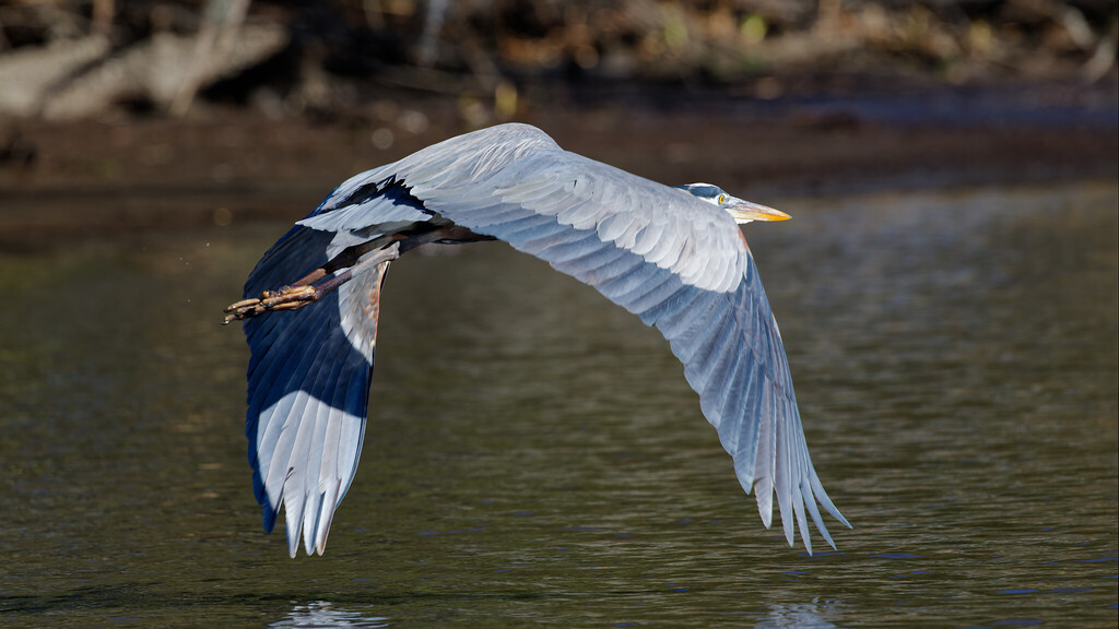
- Great Blue HeronArdea herodias
- Great EgretArdea alba
- Great Horned OwlBubo virginianus
- Greater YellowlegsTringa melanoleuca
- Green HeronButorides virescens
- Horned GrebePodiceps auritus
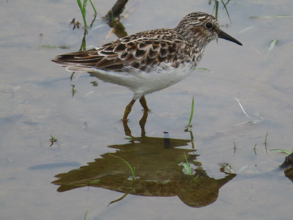
- Least SandpiperCalidris minutilla
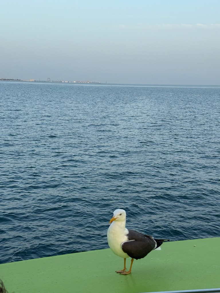
- Lesser Black-backed GullLarus fuscus
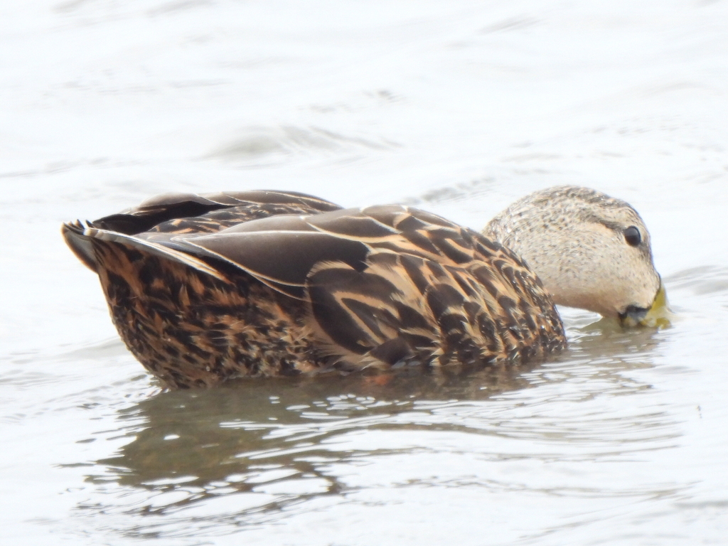
- Mottled DuckAnas fulvigula
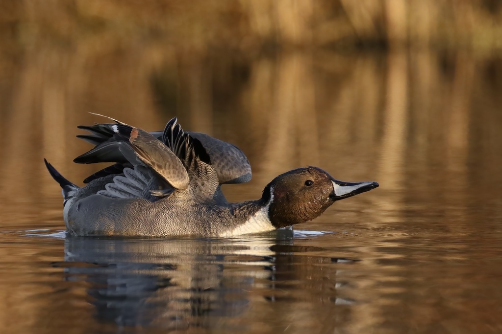
- Northern PintailAnas acuta
- OspreyPandion haliaetus
- Red-breasted MerganserMergus serrator
- Roseate SpoonbillPlatalea ajaja
- Snowy EgretEgretta thula


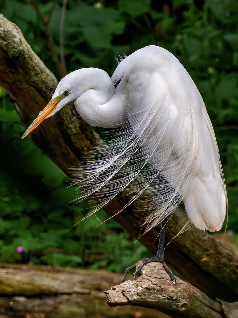

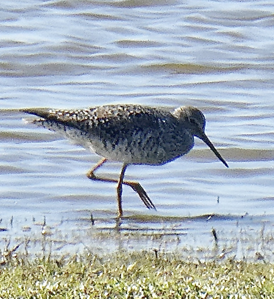
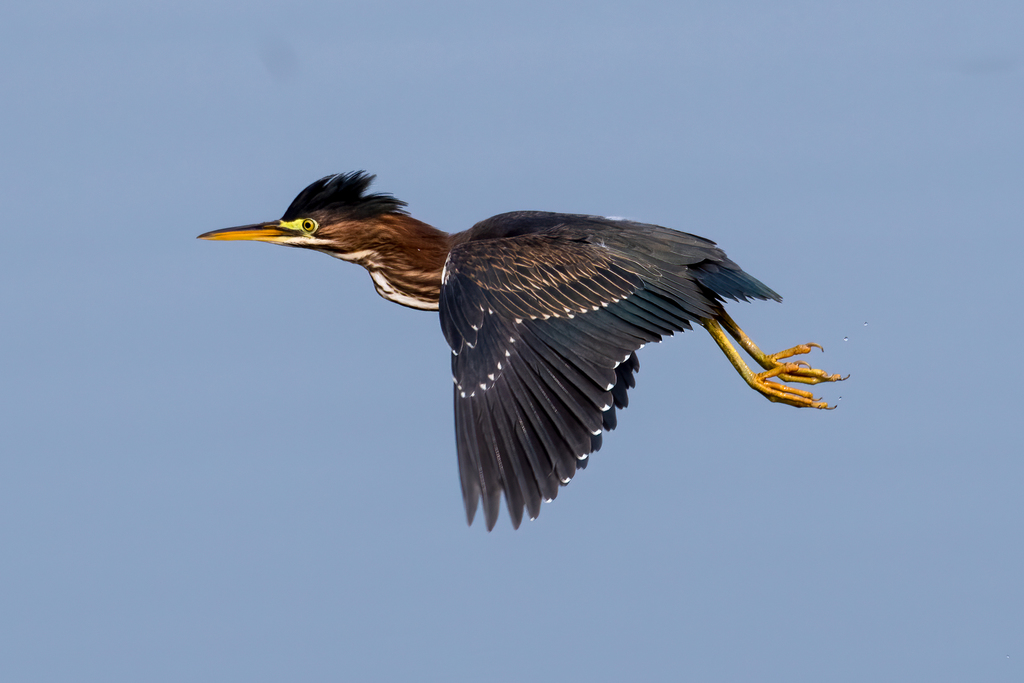
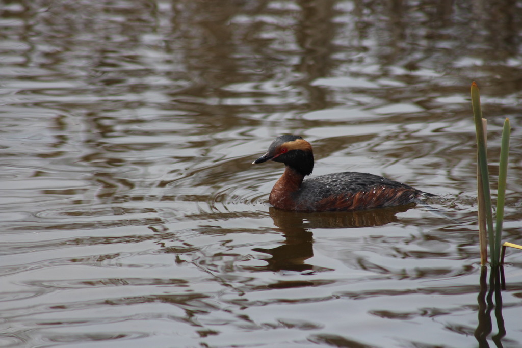
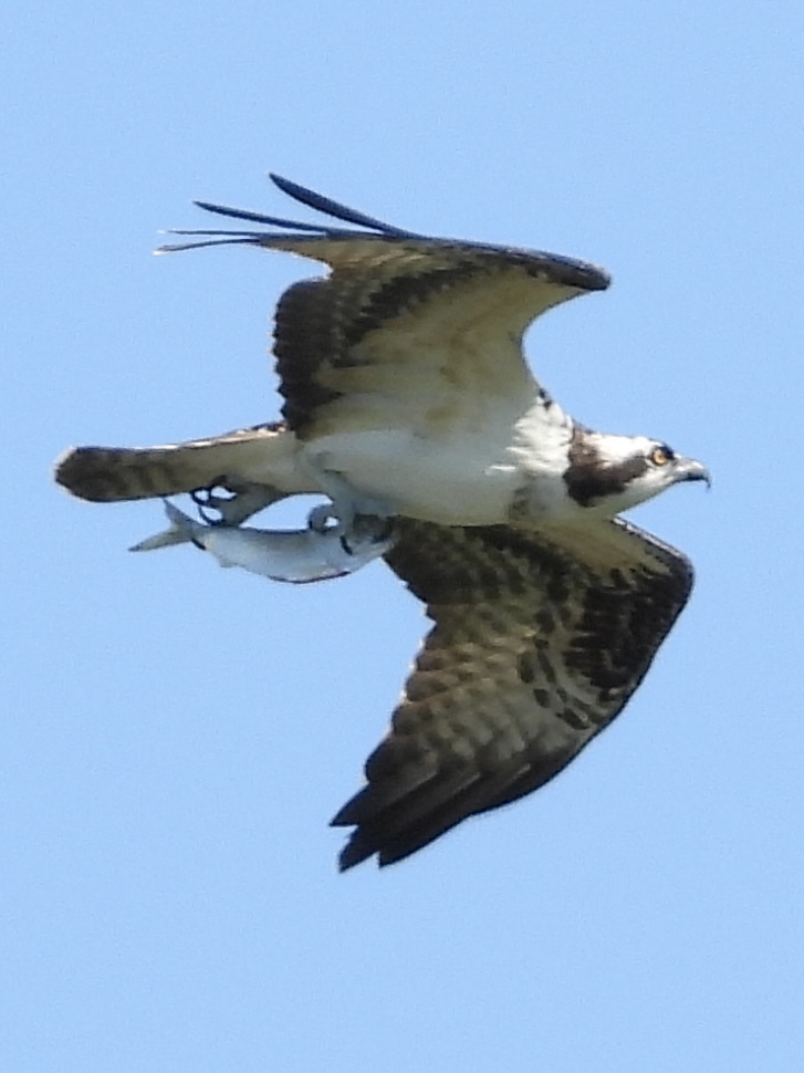
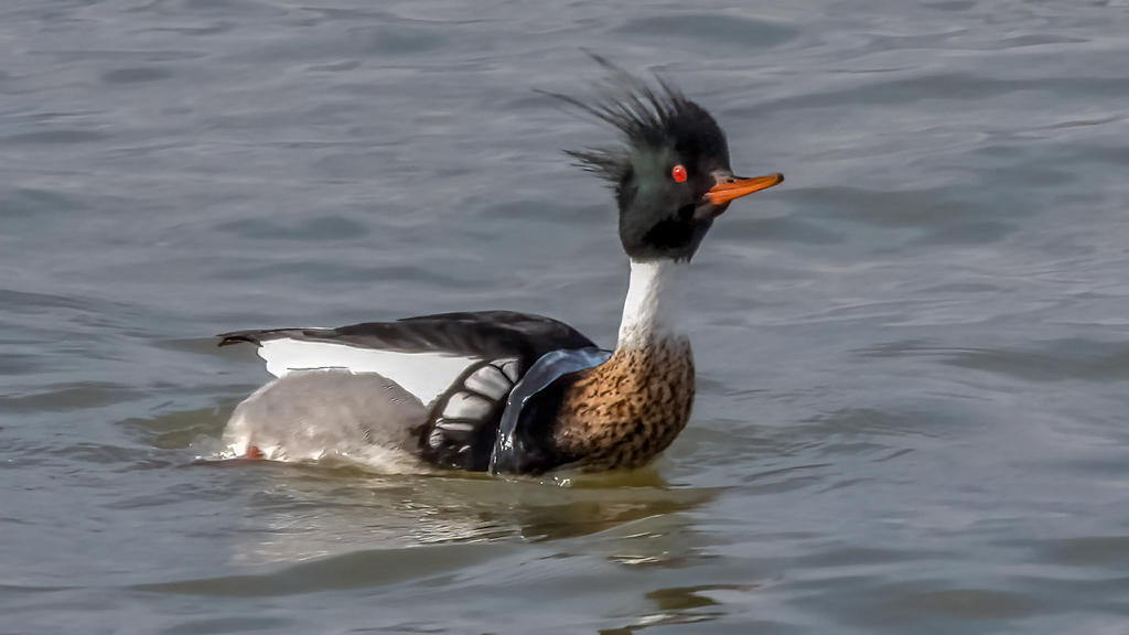
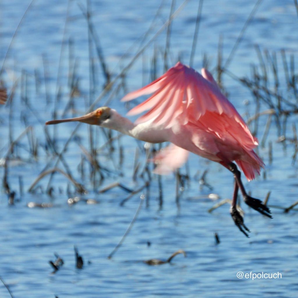
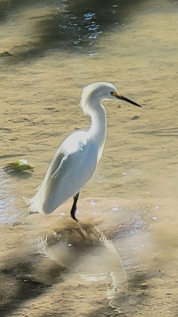
NatureServe Explorer, CC BY 4.0. USGS Gap Analysis Project habitat models.
Sources
- USGS Gap Analysis Project habitat models (2001)
- USGS GAP winter habitat model for Redhead Slow streams only
- USGS Gap Analysis Project range maps (2001), modeled by watershed; migratory gives no dates
- NatureServe Explorer (CC BY 4.0), habitat names
- US Census TIGER/Line counties
- Names follow the USGS Gap Analysis Project (2001)