

Bird
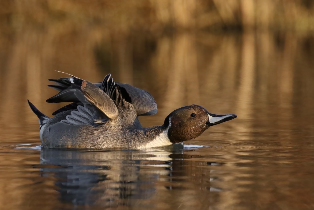
Northern Pintail
Anas acuta
A winter visitor to Florida, found in all 67 counties and 12 habitats.
- Here
- Winter
- Nesting
- Not known to nest here
- Range
- All 67 counties
- Habitats
- 12
At a glance
- Group
- Birds
- Here
- Winter
- Nesting
- Not known to nest here
- Range
- All 67 counties
- Habitats
- 12
- Habitat models
- Winter
Where it lives
The places its habitat model includes. It is not found everywhere a habitat occurs.
Habitats in Florida 12
Each habitat page lists the plants and wildlife also found there.
Open sand of beaches, dunes and the hollows between them.
Open, wet, seepage-fed bogs of the Coastal Plain and Sandhills, often with pitcher plants.
Coastal tidal marshes (salinity not stated)
Tidal marshes of the Atlantic and Gulf coasts where the source does not say whether the water is fresh, brackish or salt. A stated salinity files the marsh under freshwater tidal marshes or salt and brackish marshes instead.
Depression ponds and limesinks
Shallow ponds in Coastal Plain depressions, such as limesinks and the ponds in some Carolina bays, that rise and fall with the seasons.
Disturbed and introduced wetlands
Wet ground taken over by weedy or introduced plants after disturbance, such as common reed, Chinese tallow or tamarisk stands; the upland counterpart is roadsides, fields and disturbed ground.
Marshes along tidal rivers where the water is fresh but rises and falls with the tide.
Coastal marshes flooded by salty or brackish tides.
Salt and brackish open water of sounds, bays and estuaries, with the mud and sand flats and seagrass beds that tides cover and uncover; the vegetated marsh is salt and brackish marshes.
Roadsides, fields and disturbed ground
Ground opened by people: roadsides, old fields, pastures, fencerows and lots.
Other habitats in its models (29)
Land cover, or classes with no habitat page in Florida.
- Unconsolidated Shore (Lake/River/Pond) Winter.
- Unconsolidated Shore Winter.
- West Gulf Coastal Plain Nepheline Syenite Glade Winter, only within 500 m of water.
- Atlantic Coastal Plain Xeric River Dune Winter.
- Texas-Louisiana Coastal Prairie Winter, only within 500 m of water.
- Recently Logged Areas Winter, only within 500 m of water.
- Harvested Forest - Grass/Forb Regeneration Winter, only within 500 m of water.
- Recently Burned Winter, only within 500 m of water.
- Recently Burned Forest Winter, only within 500 m of water.
- Recently Burned Grassland Winter, only within 500 m of water.
- Introduced Upland Vegetation - Forbland Winter, only within 500 m of water.
- Introduced Upland Vegetation - Annual Grassland Winter, only within 500 m of water.
- Introduced Upland Vegetation - Perennial Grassland Winter, only within 500 m of water.
- Introduced Upland Vegetation - Perennial Grassland and Forbland Winter, only within 500 m of water.
- Atlantic Coastal Plain Embayed Region Tidal Salt and Brackish Marsh Winter.
- Atlantic Coastal Plain Northern Tidal Salt Marsh Winter.
- Atlantic Coastal Plain Clay-Based Carolina Bay Herbaceous Wetland Winter.
- Atlantic Coastal Plain Peatland Pocosin Winter.
- Atlantic Coastal Plain Embayed Region Tidal Freshwater Marsh Winter.
- Central Florida Herbaceous Seep Winter.
- Atlantic Coastal Plain Northern Fresh and Oligohaline Tidal Marsh Winter.
- South Florida Wet Marl Prairie Winter.
- Texas Saline Coastal Prairie Winter.
- Eastern Great Plains Wet Meadow, Prairie, and Marsh Winter.
- East Gulf Coastal Plain Southern Depression Pondshore Winter.
- South Florida Freshwater Slough and Gator Hole Winter.
- East Gulf Coastal Plain Large River Floodplain Forest - Herbaceous Modifier Winter.
- South-Central Interior Large Floodplain - Herbaceous Modifier Winter.
- Texas-Louisiana Coastal Prairie Slough Winter.
Seasons in Florida
- Winter: does not nest here, in all 67 counties.
Also found in this habitat
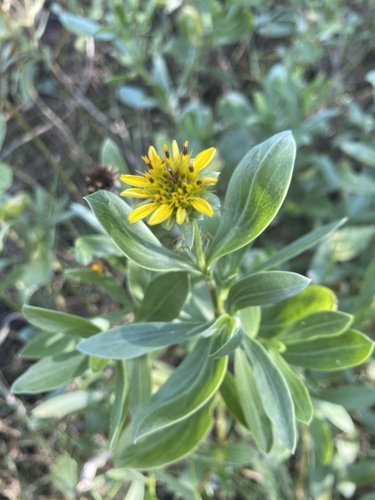
Plants 305
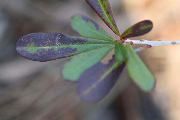
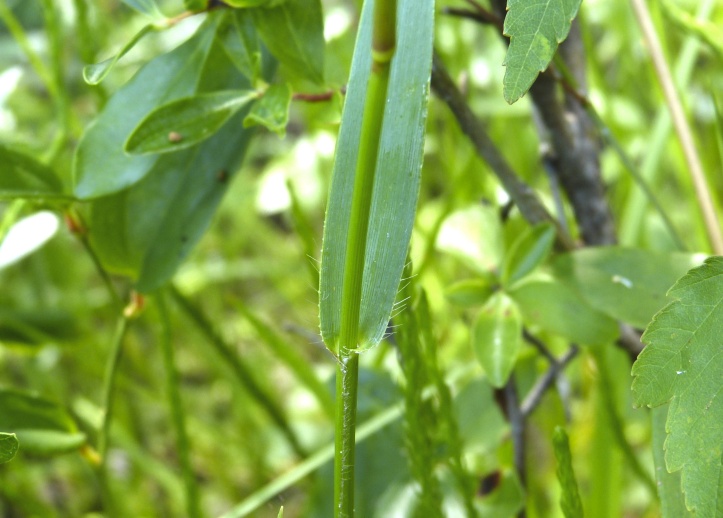
Plants named in NatureServe descriptions of these habitats that grow in Florida. Shared habitat, not food.
- Black NeedlerushJuncus roemerianus
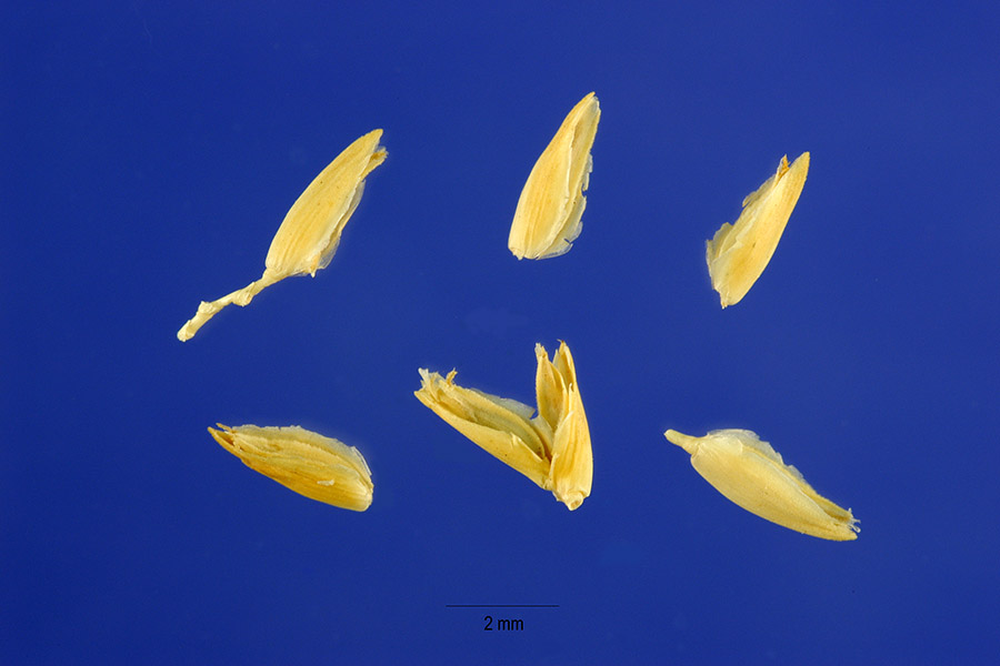
- MaidencaneHymenachne hemitomon
- Common WaxmyrtleMorella cerifera
- Saltmarsh CordgrassSpartina alterniflora
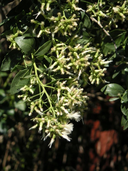
- Groundsel-treeBaccharis halimifolia
- Seashore SaltgrassDistichlis spicata
- Violet ButterwortPinguicula ionantha
- Common Three Square BulrushSchoenoplectus pungens
- Serenoa repensSerenoa repens
- Saltmeadow CordgrassSpartina patens
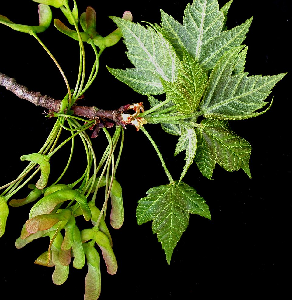
- Red MapleAcer rubrum
- Hairy BluestemAndropogon glomeratus var. hirsutior
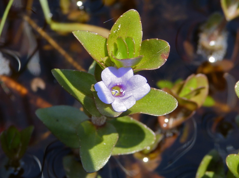
- Blue Water-hyssopBacopa caroliniana
- Sea OxeyeBorrichia frutescens
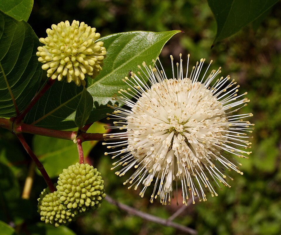
- ButtonbushCephalanthus occidentalis
- Coelorachis tuberculosaCoelorachis tuberculosa
- Tropical WaxweedCuphea aspera
- TitiCyrilla racemiflora
- Erectleaf WitchgrassDichanthelium erectifolium
- Semaphore ThoroughwortEupatorium mikanioides
- Hartwrightia floridanaHartwrightia floridana
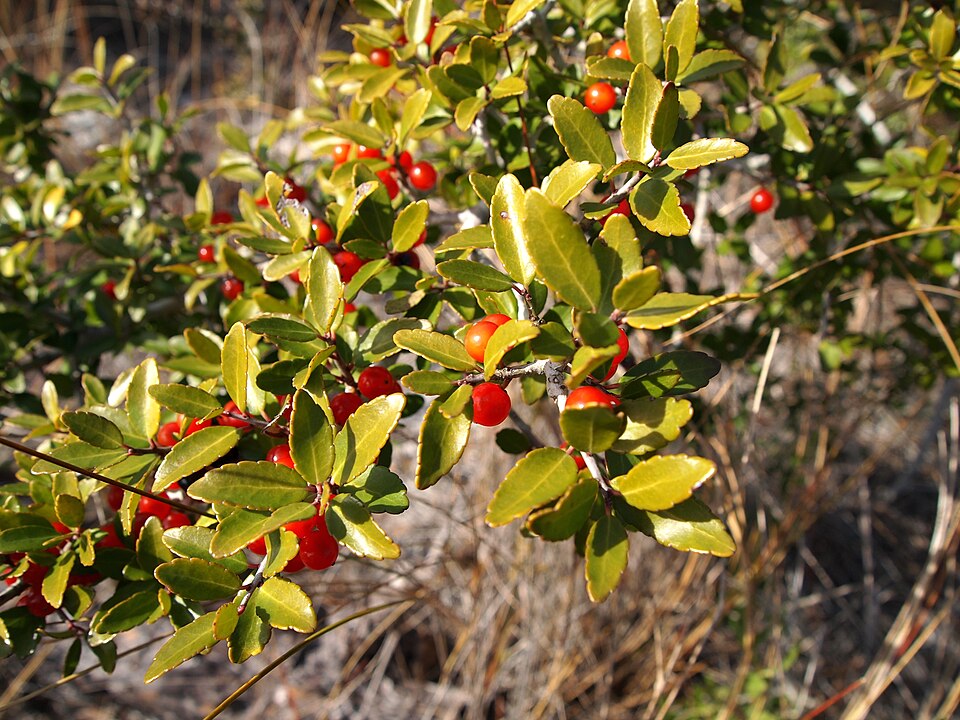
- Yaupon HollyIlex vomitoria
- PondberryLindera melissifolia
- Curtiss' PrimrosewillowLudwigia curtissii

Wildlife 286
Other animals whose habitat models include the same habitats in Florida. Not sighting records.
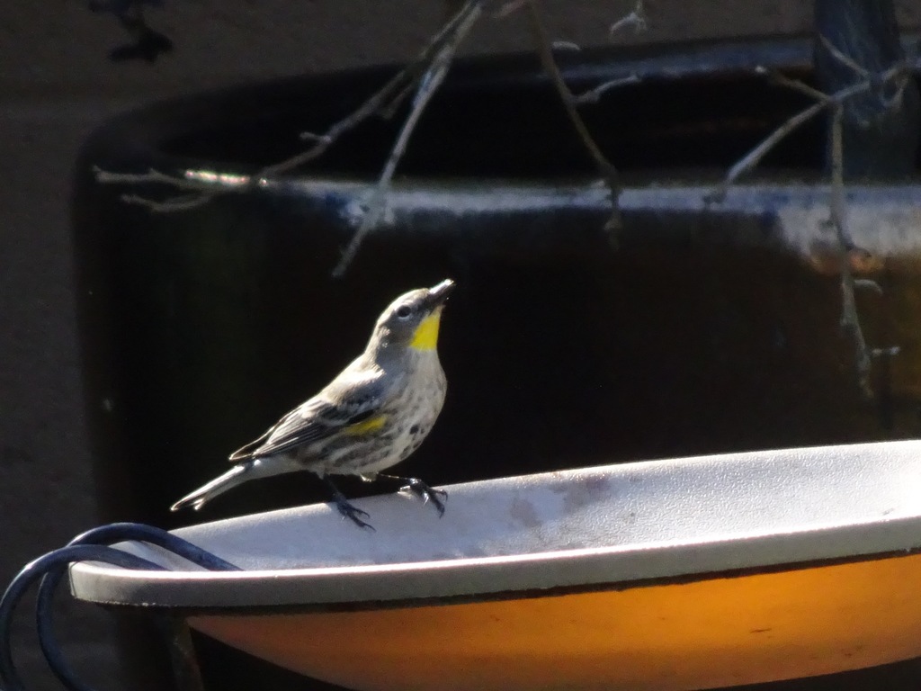
- Yellow-rumped WarblerDendroica coronata
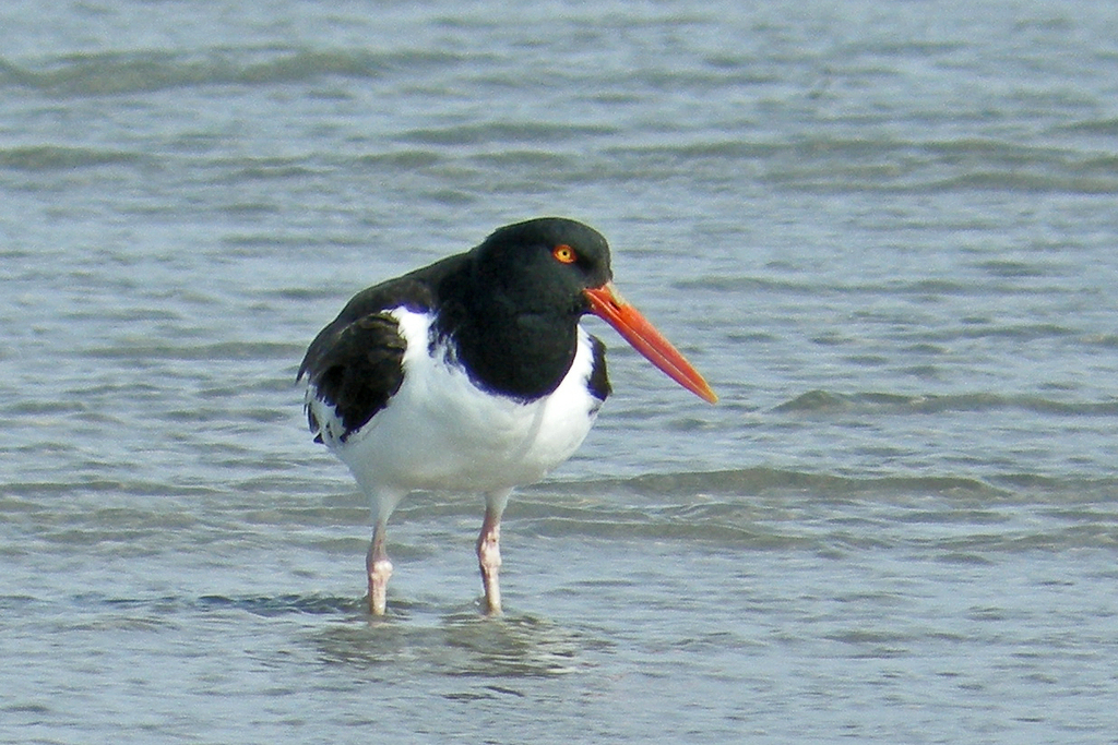
- American OystercatcherHaematopus palliatus
- American RobinTurdus migratorius
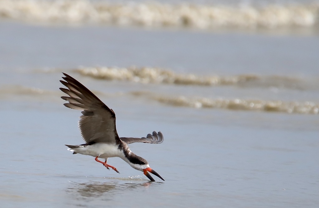
- Black SkimmerRynchops niger
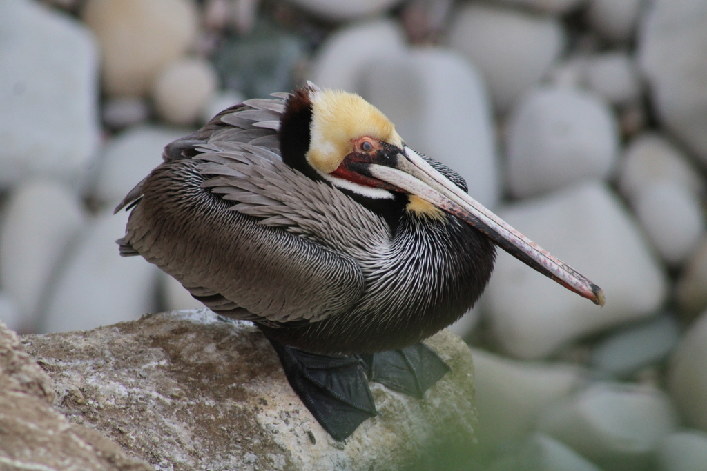
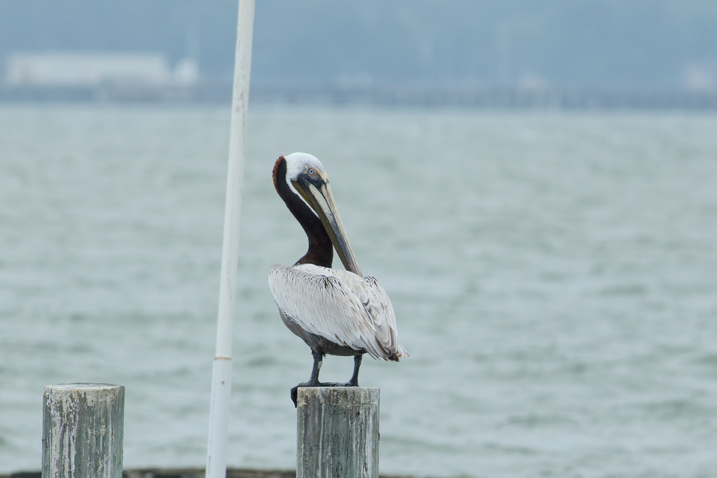
- Brown PelicanPelecanus occidentalis
- Eastern Brown PelicanPelecanus occidentalis carolinensis
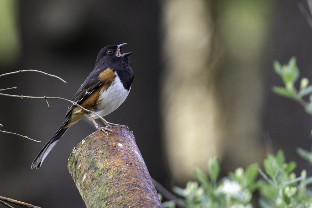
- Eastern TowheePipilo erythrophthalmus
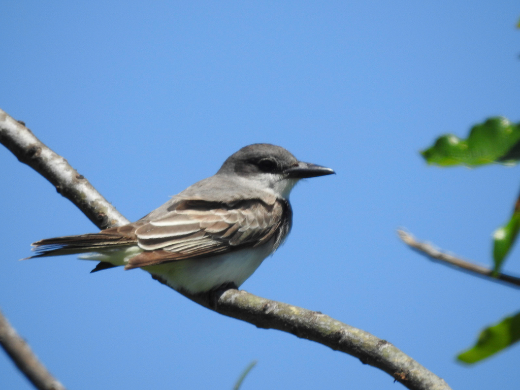
- Gray KingbirdTyrannus dominicensis
- Gull-billed TernGelochelidon nilotica
- Le Conte's SparrowAmmodramus leconteii
- Nelson's Sharp-tailed SparrowAmmodramus nelsoni
- Northern WaterthrushSeiurus noveboracensis
- Royal TernThalasseus maximus
- White-tailed KiteElanus leucurus
- WilletTringa semipalmata
- American FlamingoPhoenicopterus ruber
- Black VultureCoragyps atratus
- Black-bellied PloverPluvialis squatarola
- Cliff SwallowPetrochelidon pyrrhonota
- Double-crested CormorantPhalacrocorax auritus
- Eastern PhoebeSayornis phoebe
- Greater ScaupAythya marila
- KilldeerCharadrius vociferus
- Lapland LongspurCalcarius lapponicus

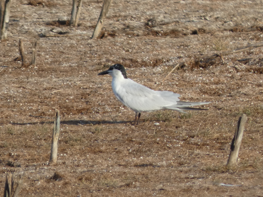
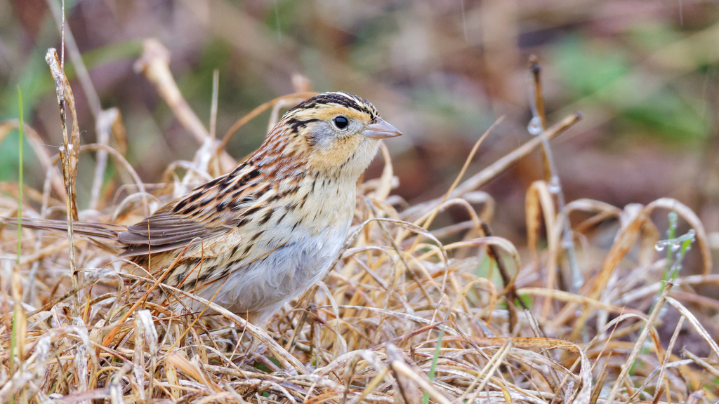
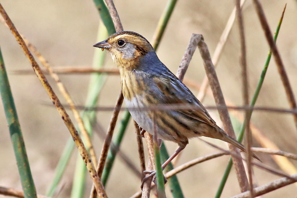
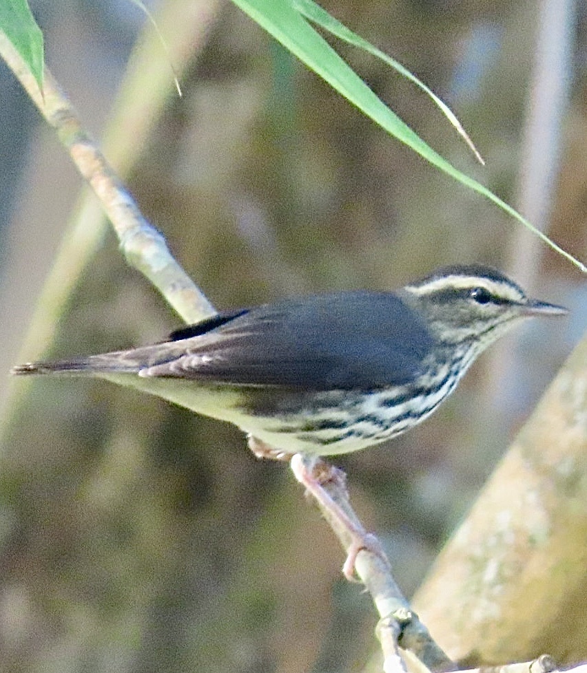
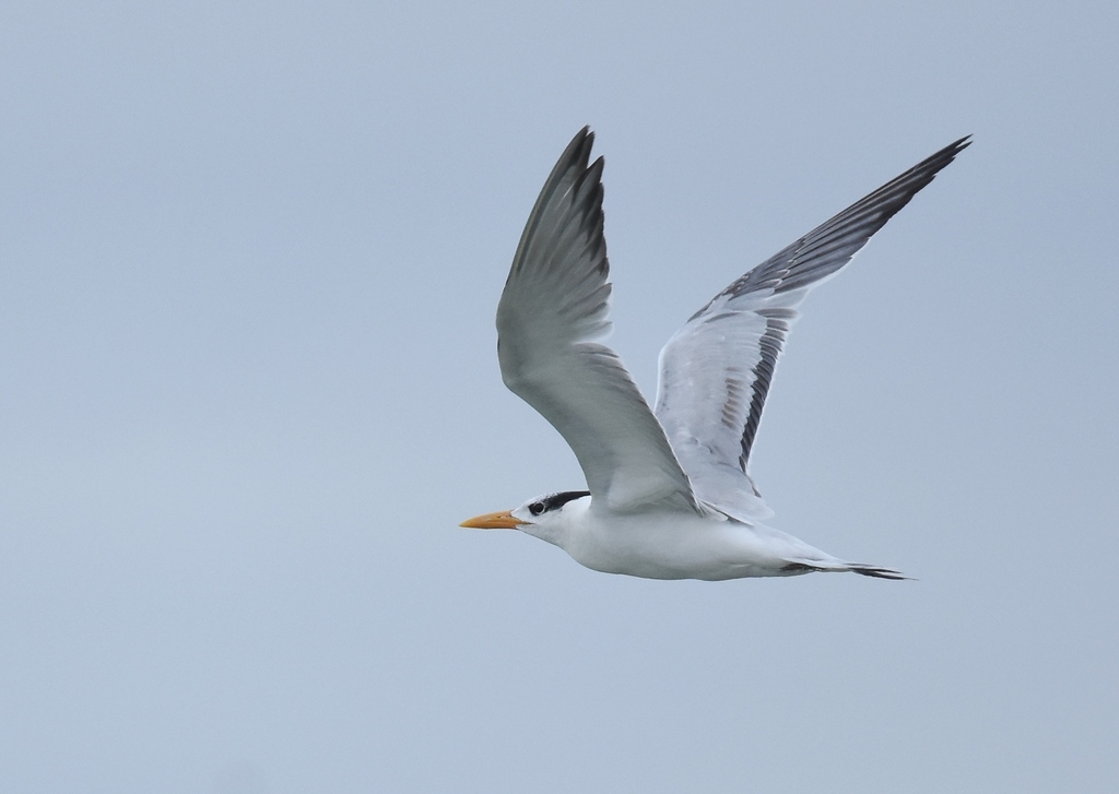
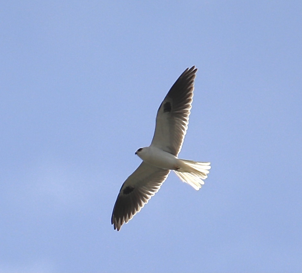
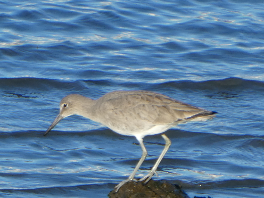
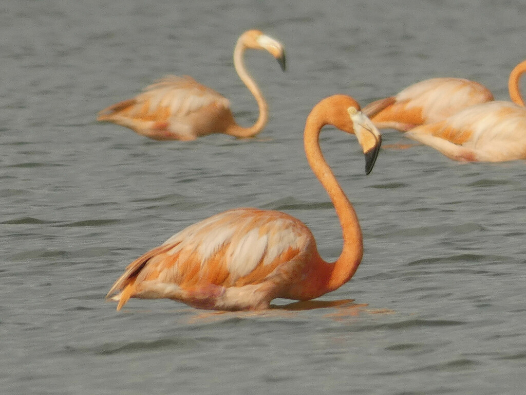
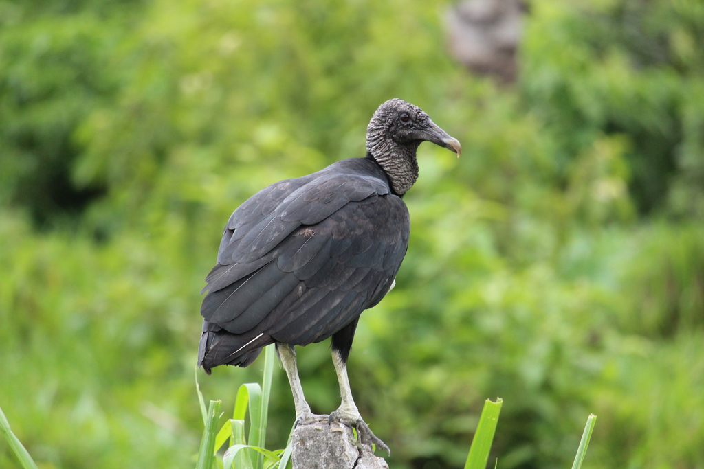
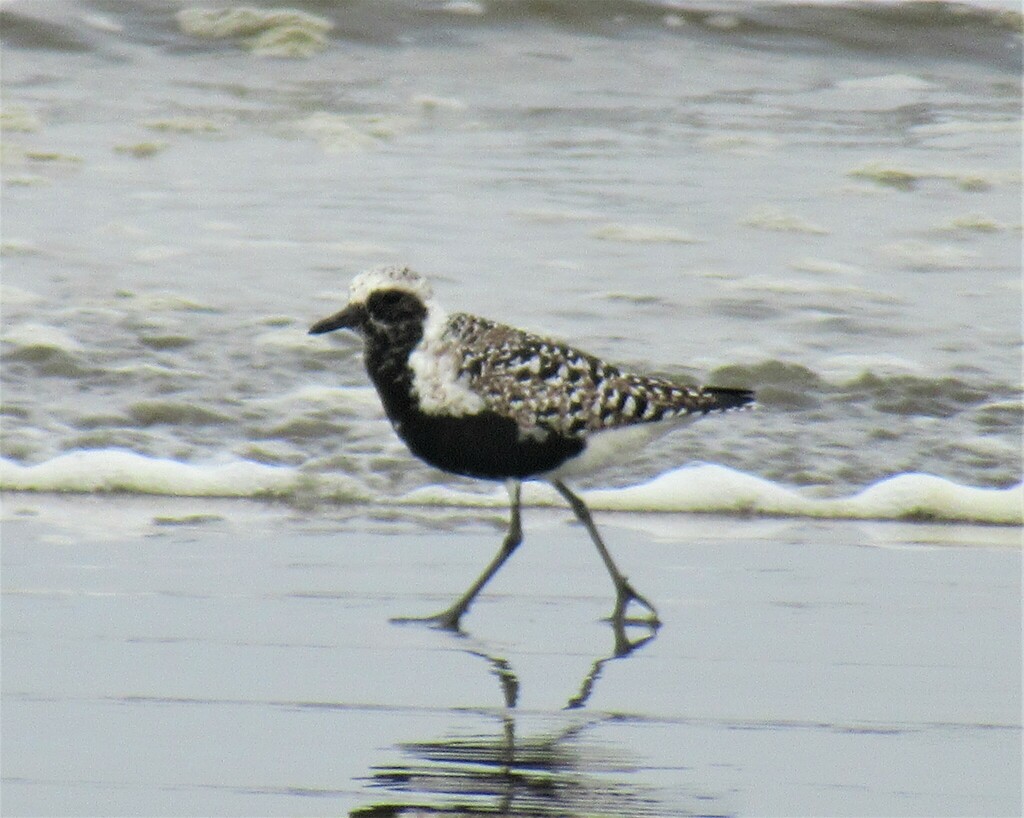
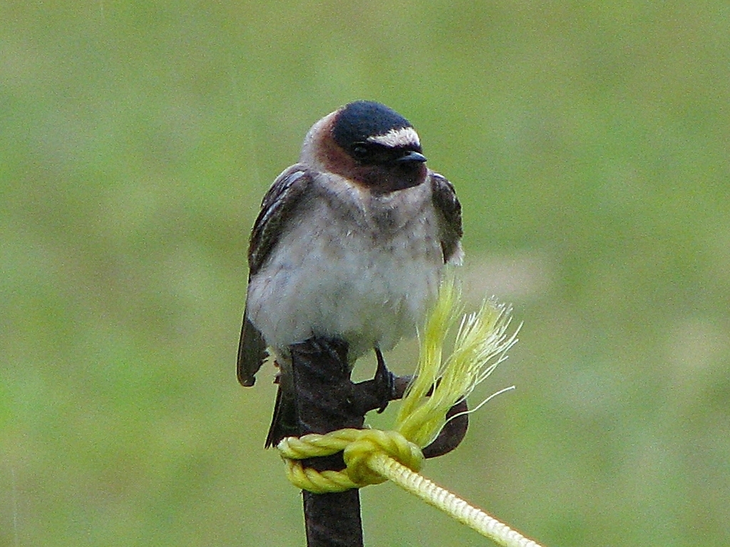
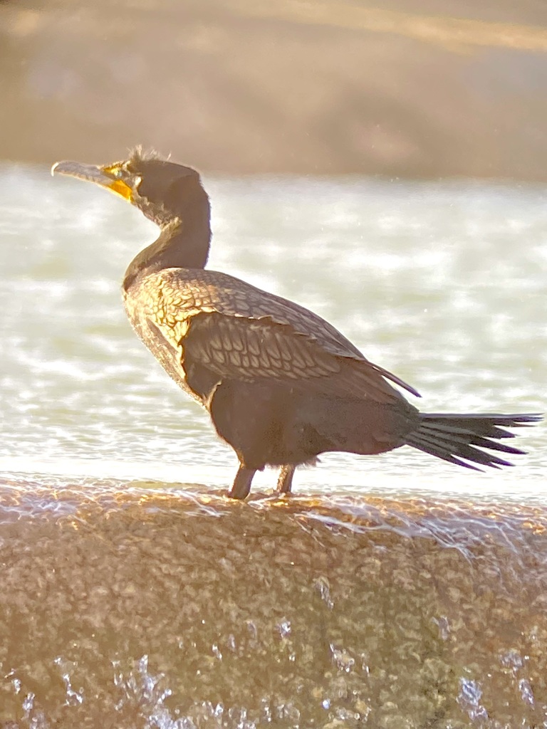
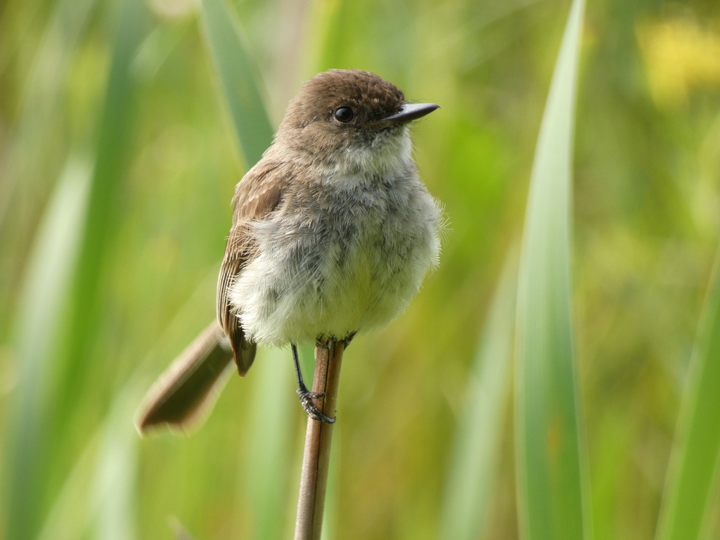
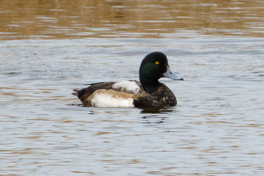
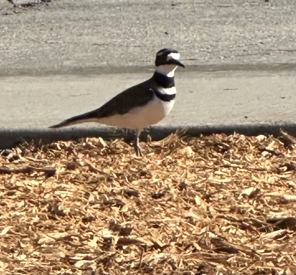
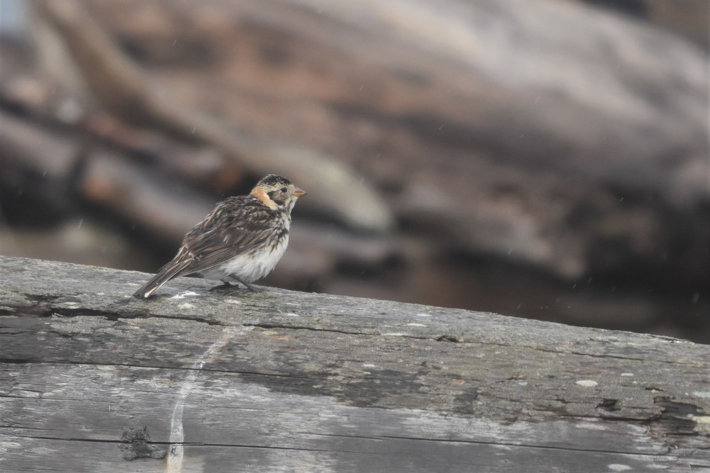
NatureServe Explorer, CC BY 4.0. USGS Gap Analysis Project habitat models.
Sources
- USGS Gap Analysis Project habitat models (2001)
- USGS GAP winter habitat model for Northern Pintail
- USGS Gap Analysis Project range maps (2001), modeled by watershed; migratory gives no dates
- NatureServe Explorer (CC BY 4.0), habitat names
- US Census TIGER/Line counties
- Names follow the USGS Gap Analysis Project (2001)