

Bird
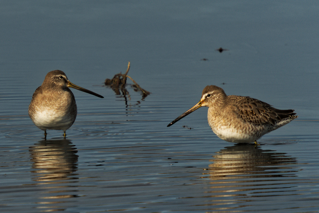
Long-billed Dowitcher
Limnodromus scolopaceus
A winter visitor to Florida, found in all 67 counties and 16 habitats.
- Here
- Winter
- Nesting
- Not known to nest here
- Range
- All 67 counties
- Habitats
- 16
At a glance
- Group
- Birds
- Here
- Winter
- Nesting
- Not known to nest here
- Range
- All 67 counties
- Habitats
- 16
- Habitat models
- Winter
Where it lives
The places its habitat model includes. It is not found everywhere a habitat occurs.
Habitats in Florida 16
Each habitat page lists the plants and wildlife also found there.
Open sand of beaches, dunes and the hollows between them.
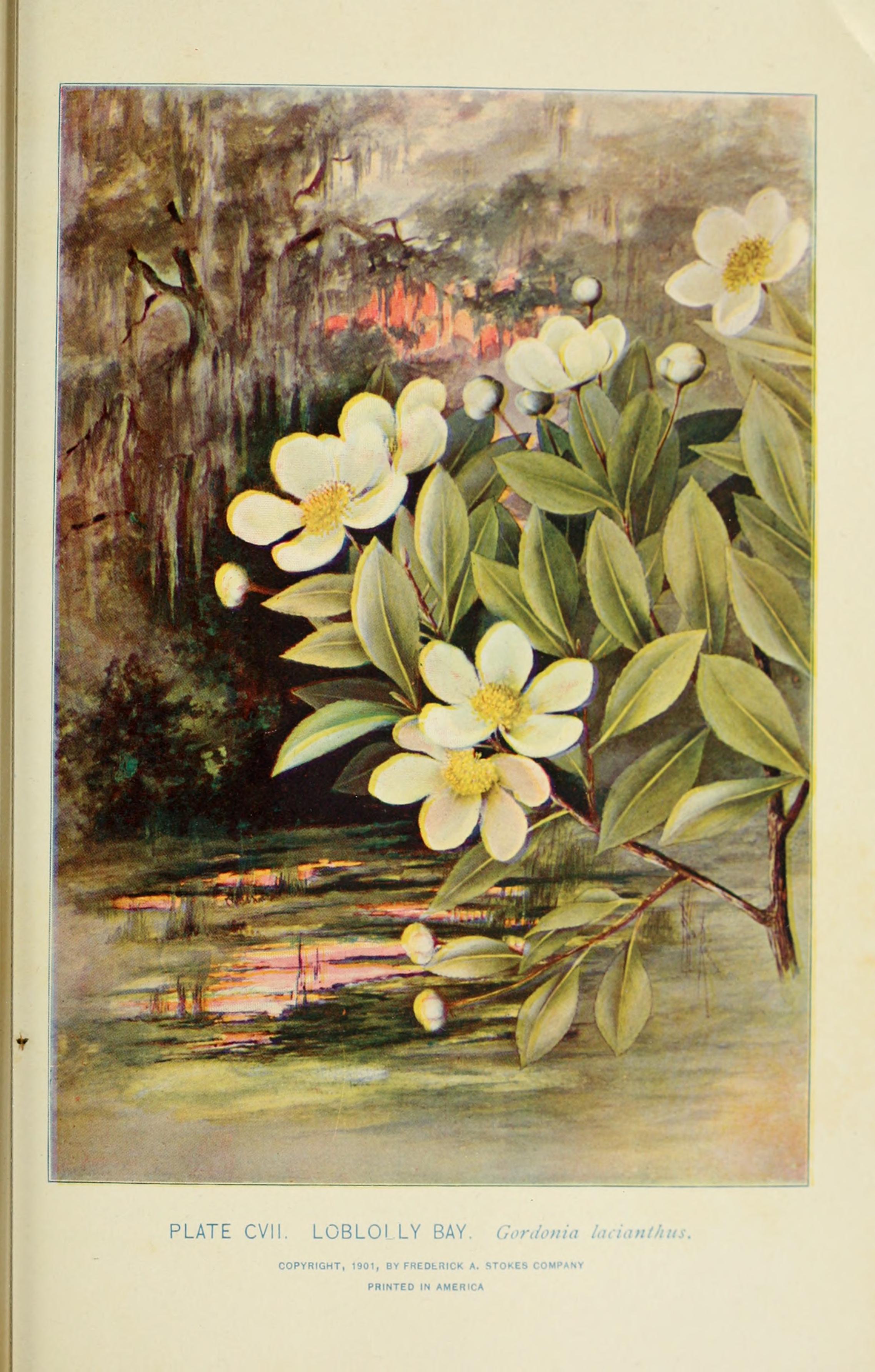
Dense, evergreen groves of live oak, magnolia and other hardwoods in the southern Coastal Plain, from dry oak domes to wet hydric hammocks and south Florida's tropical hammocks; salt-shaped maritime hammocks are maritime forests.
Open, wet, seepage-fed bogs of the Coastal Plain and Sandhills, often with pitcher plants.
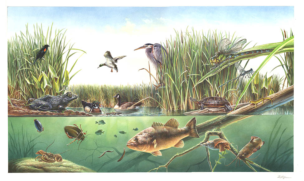
Depression ponds and limesinks
Shallow ponds in Coastal Plain depressions, such as limesinks and the ponds in some Carolina bays, that rise and fall with the seasons.
Disturbed and introduced wetlands
Wet ground taken over by weedy or introduced plants after disturbance, such as common reed, Chinese tallow or tamarisk stands; the upland counterpart is roadsides, fields and disturbed ground.
Marshes along tidal rivers where the water is fresh but rises and falls with the tide.
Tidal forests and thickets of red, black and white mangrove along sheltered tropical and subtropical shores.
Open, fire-kept longleaf pine stands over grasses and wildflowers on wet to moist sandy soil.
Coastal marshes flooded by salty or brackish tides.
Salt and brackish open water of sounds, bays and estuaries, with the mud and sand flats and seagrass beds that tides cover and uncover; the vegetated marsh is salt and brackish marshes.
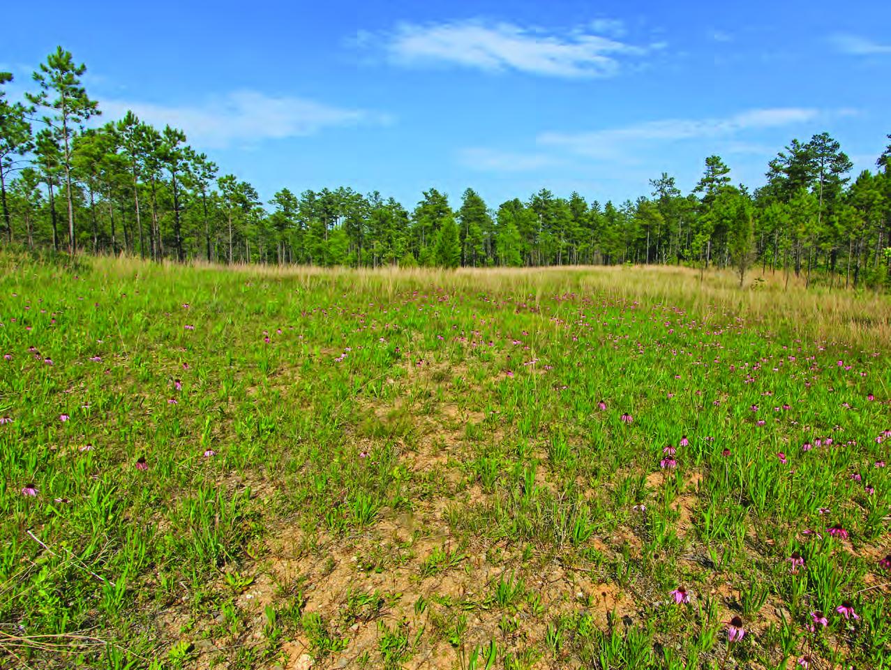
Flat, sandy Coastal Plain pine woodlands, wetter than sandhills and denser than savannas.
Roadsides, fields and disturbed ground
Ground opened by people: roadsides, old fields, pastures, fencerows and lots.
Other habitats in its models (26)
Land cover, or classes with no habitat page in Florida.
- Open Water (Aquaculture) Winter.
- Unconsolidated Shore (Lake/River/Pond) Winter.
- Unconsolidated Shore Winter.
- Upper Texas Coast Beach Winter.
- Texas Coastal Bend Beach Winter.
- East Gulf Coastal Plain Black Belt Calcareous Prairie and Woodland - Herbaceous Modifier Winter, only within 120 m of water.
- Lower Mississippi River Dune Woodland and Forest Winter.
- East Gulf Coastal Plain Interior Upland Longleaf Pine Woodland - Loblolly Modifier Winter, only within 120 m of water.
- East Gulf Coastal Plain Interior Upland Longleaf Pine Woodland - Open Understory Modifier Winter, only within 120 m of water.
- West Gulf Coastal Plain Catahoula Barrens Winter, only within 120 m of water.
- West Gulf Coastal Plain Nepheline Syenite Glade Winter, only within 120 m of water.
- West Gulf Coastal Plain Northern Calcareous Prairie Winter, only within 120 m of water.
- West Gulf Coastal Plain Southern Calcareous Prairie Winter, only within 120 m of water.
- East Gulf Coastal Plain Jackson Prairie and Woodland Winter, only within 120 m of water.
- South Texas Sand Sheet Grassland Winter, only within 120 m of water.
- Texas-Louisiana Coastal Prairie Winter, only within 120 m of water.
- South Texas Dune and Coastal Grassland Winter.
- West Gulf Coastal Plain Seepage Swamp and Baygall Winter.
- Central Florida Herbaceous Seep Winter.
- West Gulf Coastal Plain Near-Coast Large River Swamp Winter.
- South Florida Wet Marl Prairie Winter.
- Texas Saline Coastal Prairie Winter.
- East Gulf Coastal Plain Southern Depression Pondshore Winter.
- Mississippi River Bottomland Depression Winter.
- South Florida Freshwater Slough and Gator Hole Winter.
- Texas-Louisiana Coastal Prairie Slough Winter.
Seasons in Florida
- Winter: does not nest here, in all 67 counties.
Also found in this habitat
Plants 380
Plants named in NatureServe descriptions of these habitats that grow in Florida. Shared habitat, not food.
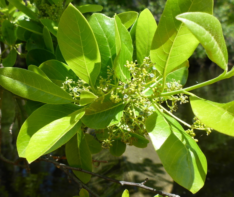
- Cabbage PalmettoSabal palmetto
- Serenoa repensSerenoa repens
- Tropical WaxweedCuphea aspera
- Hartwrightia floridanaHartwrightia floridana
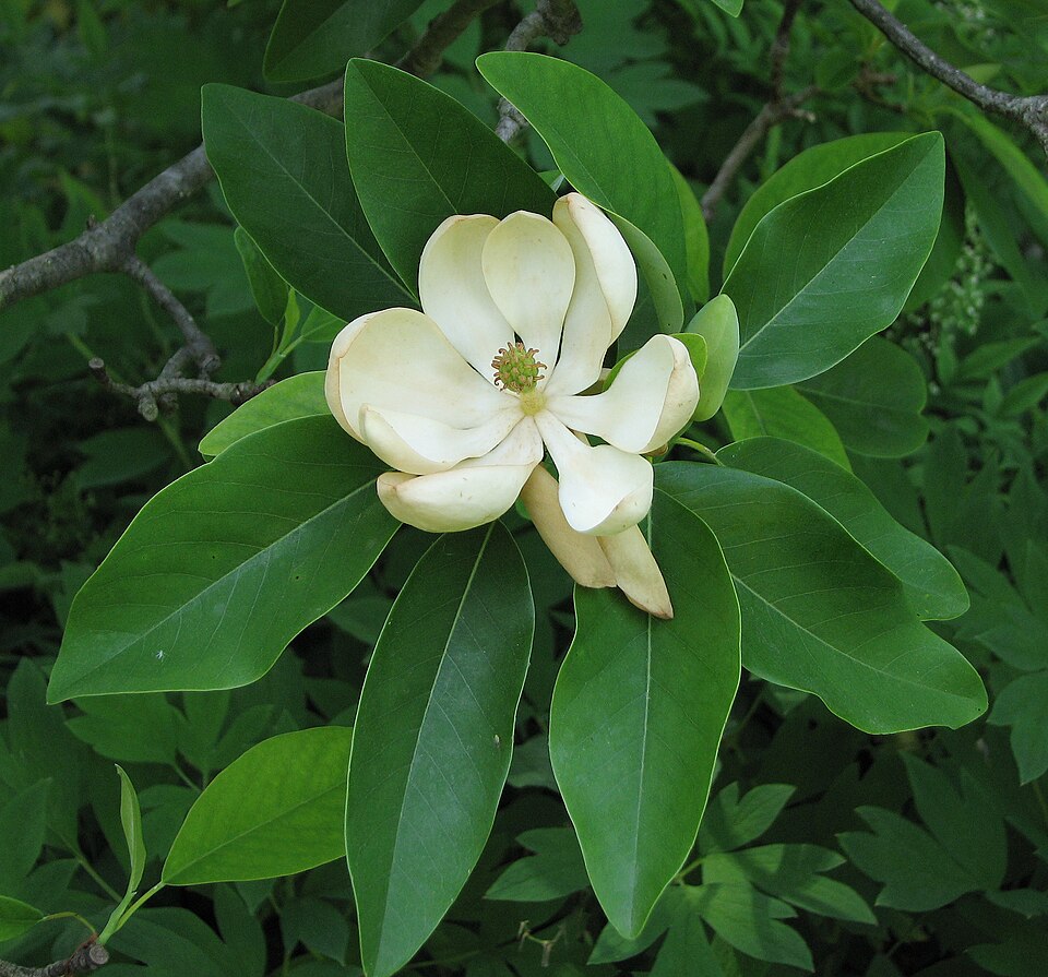
- Sweetbay MagnoliaMagnolia virginiana
- TitiCyrilla racemiflora
- Common WaxmyrtleMorella cerifera
- Violet ButterwortPinguicula ionantha
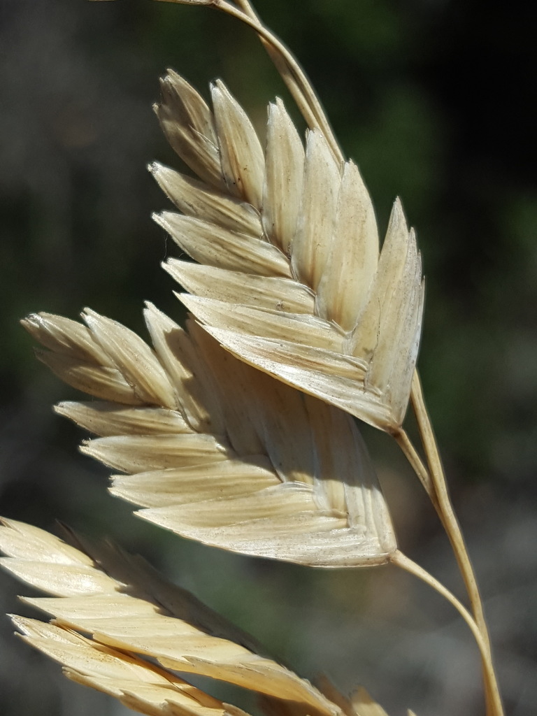
- Sea OatsUniola paniculata
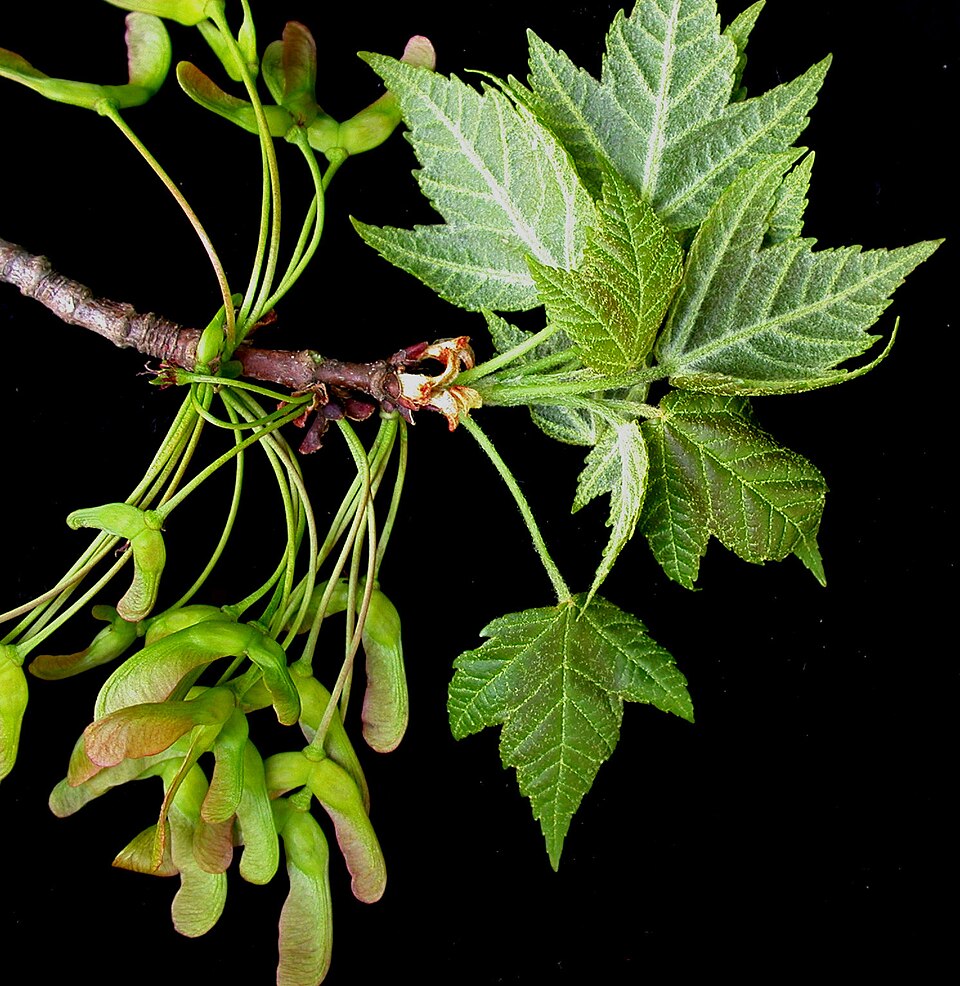
- Red MapleAcer rubrum
- Asclepias viridulaAsclepias viridula
- Atlantic White CedarChamaecyparis thyoides
- Apalachicola St.john's-wortHypericum chapmanii
- InkberryIlex glabra
- Dune Marsh-elderIva imbricata
- Curtiss' PrimrosewillowLudwigia curtissii
- Shining FetterbushLyonia lucida
- Lythrum curtissiiLythrum curtissii
- Macranthera flammeaMacranthera flammea
- Swamp TupeloNyssa biflora
- Laurel OakQuercus laurifolia
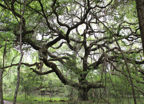
- Live OakQuercus virginiana
- Sideroxylon thorneiSideroxylon thornei
- Pond CypressTaxodium ascendens

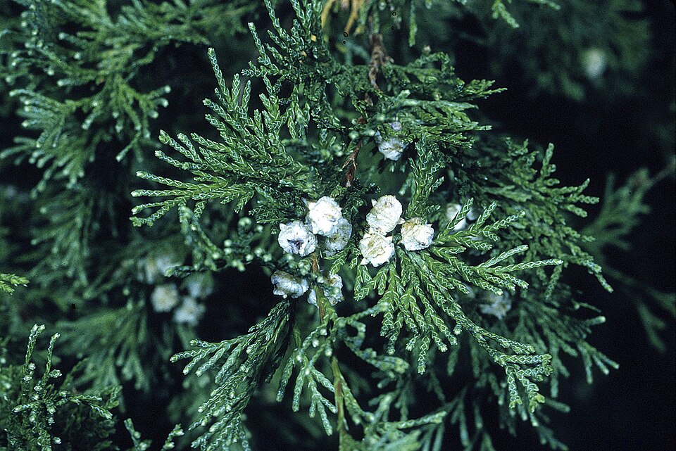
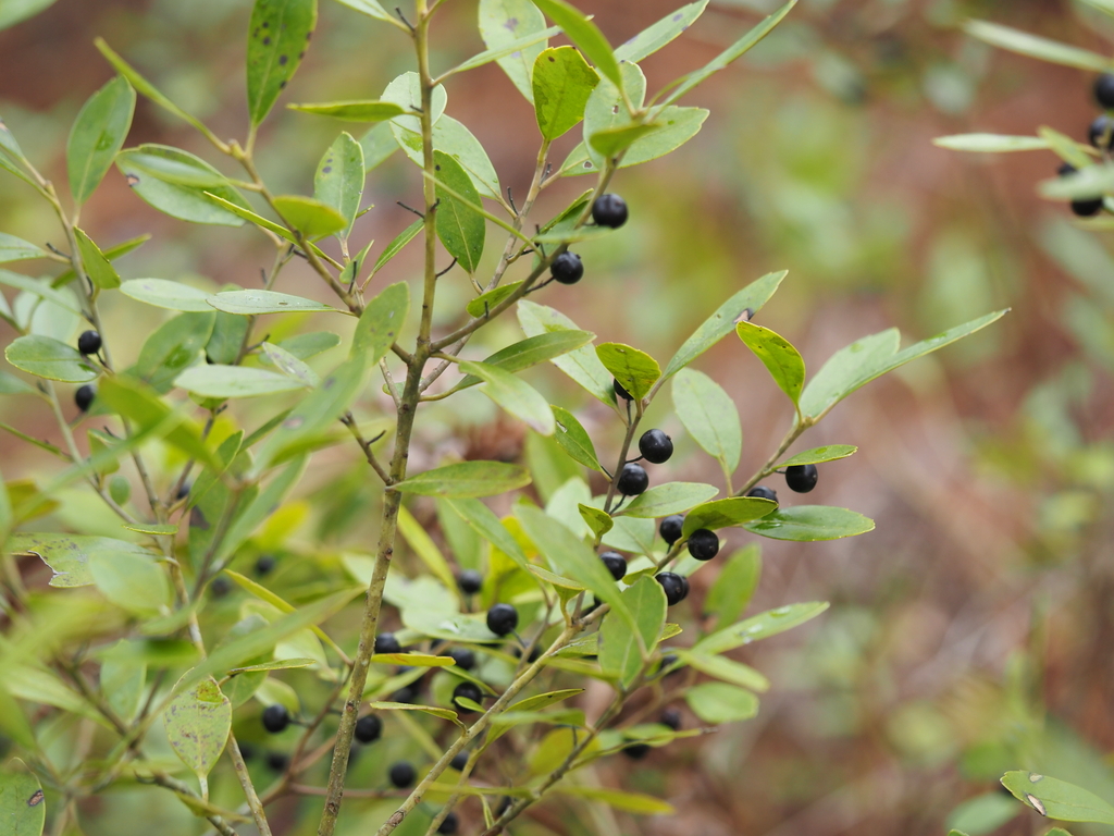
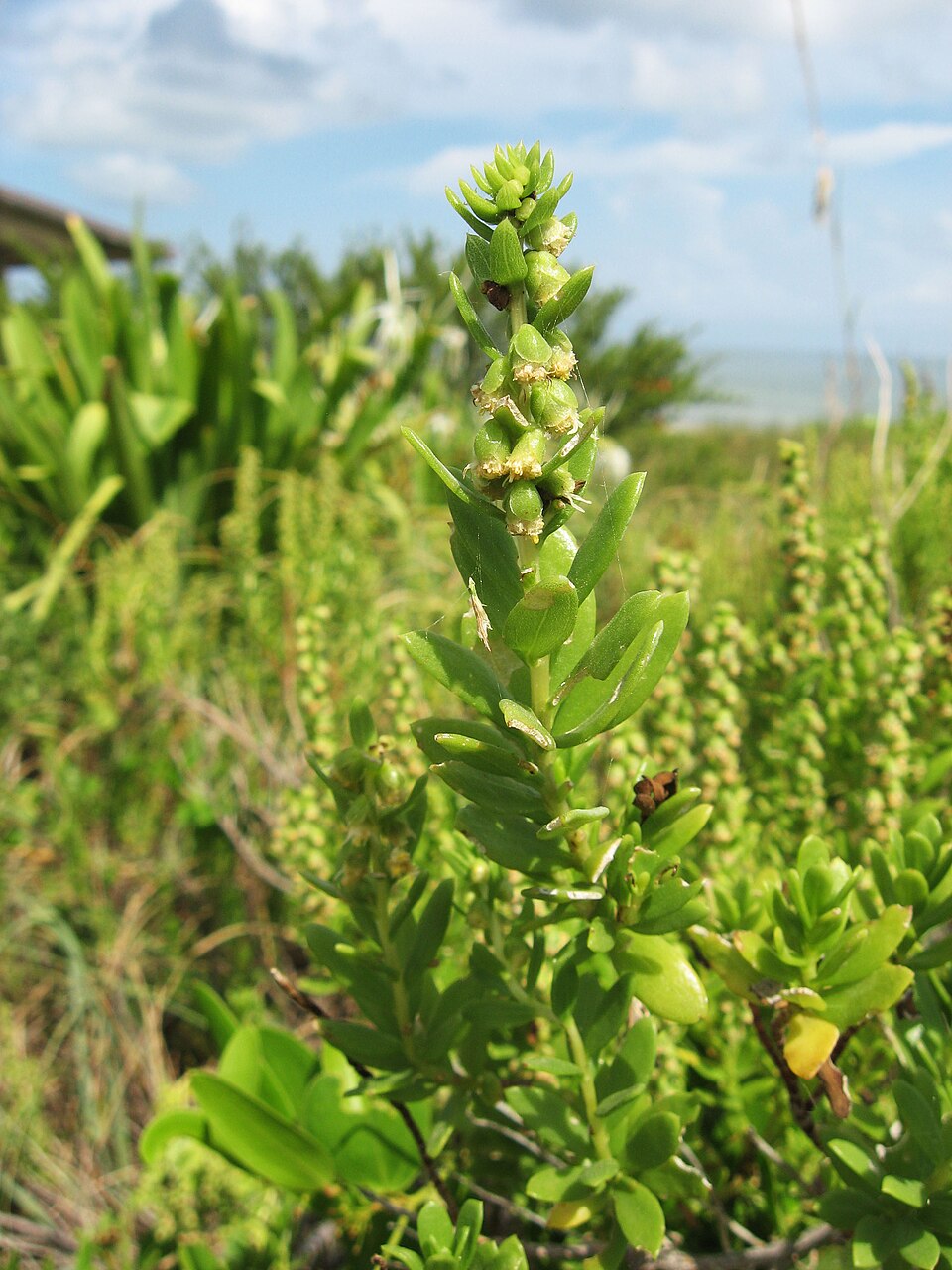
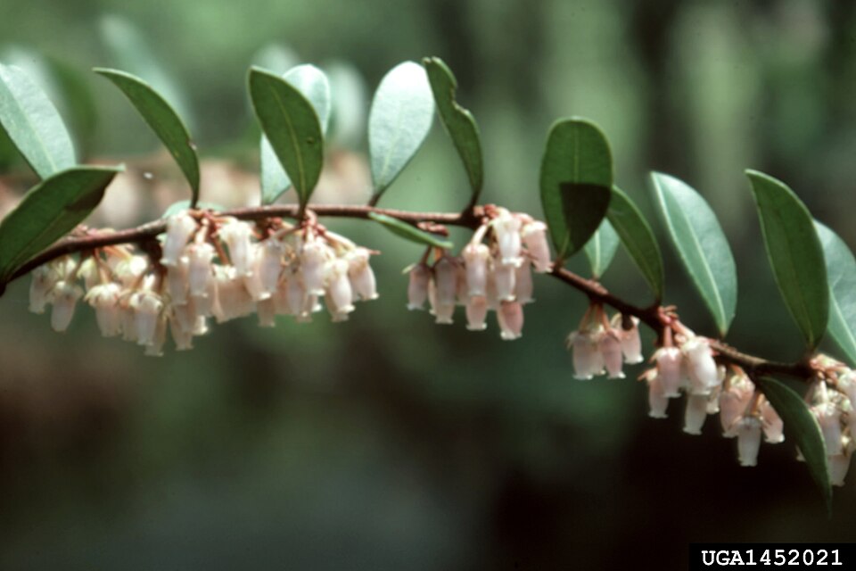
Wildlife 287
Other animals whose habitat models include the same habitats in Florida. Not sighting records.
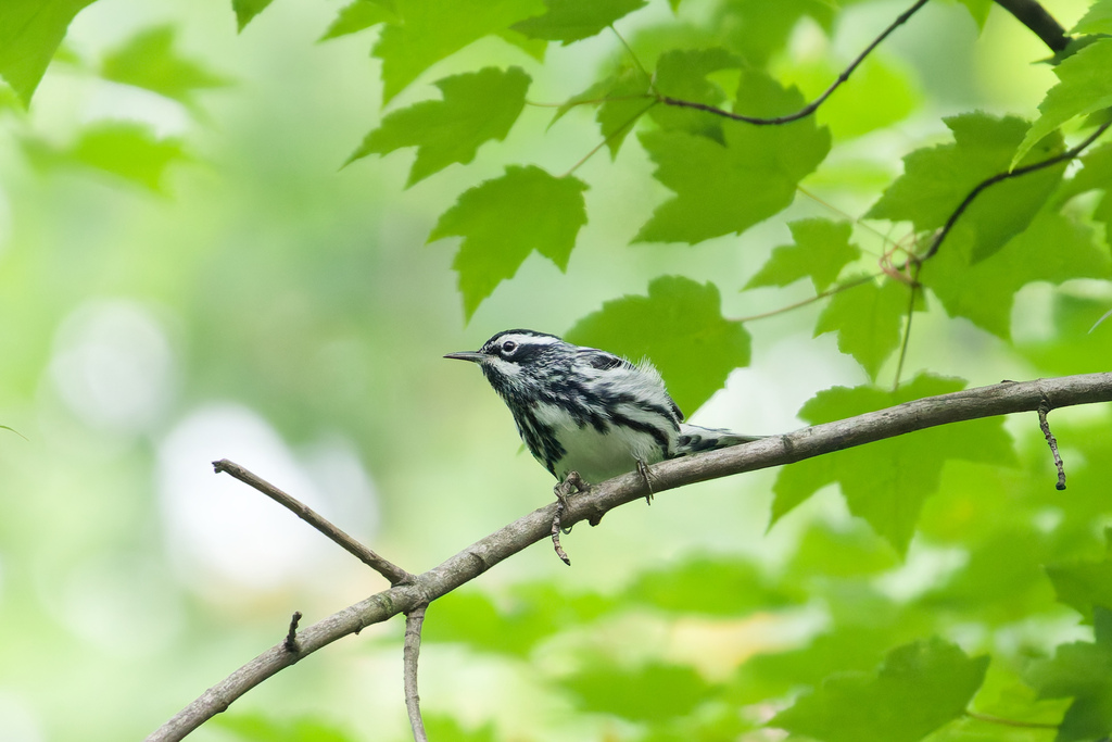
- Black-and-White WarblerMniotilta varia
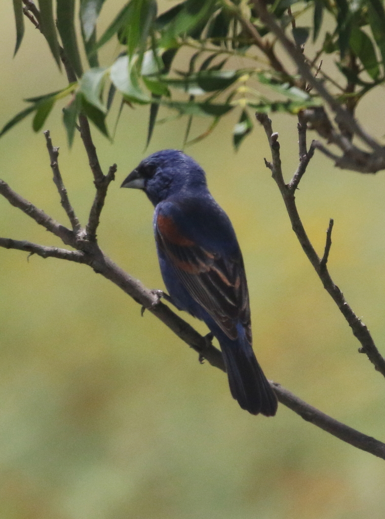
- Blue GrosbeakPasserina caerulea
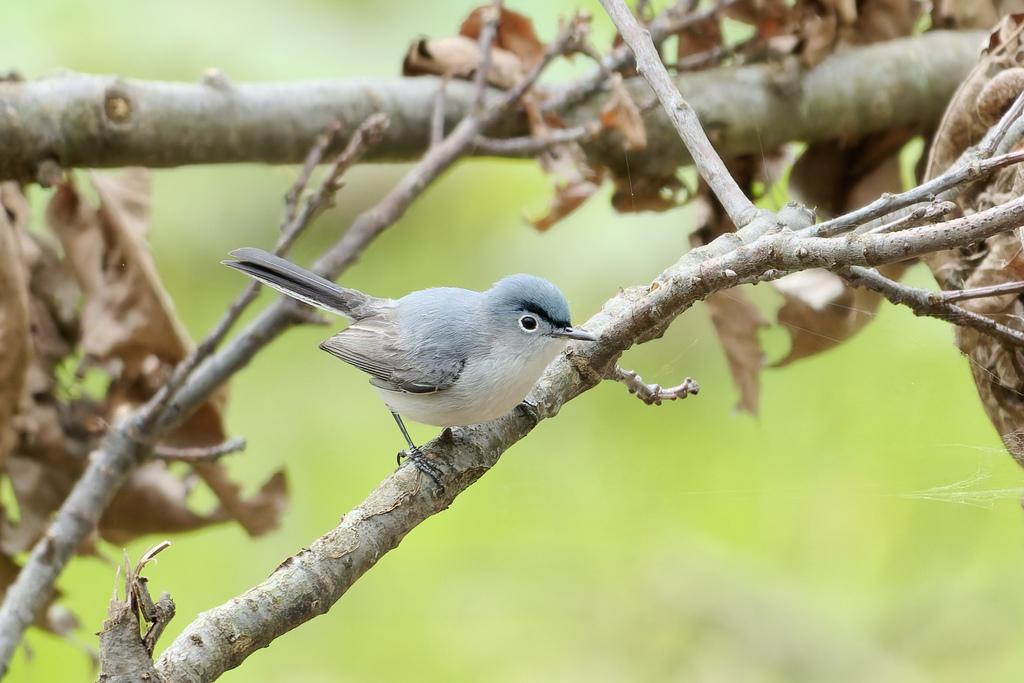
- Blue-gray GnatcatcherPolioptila caerulea
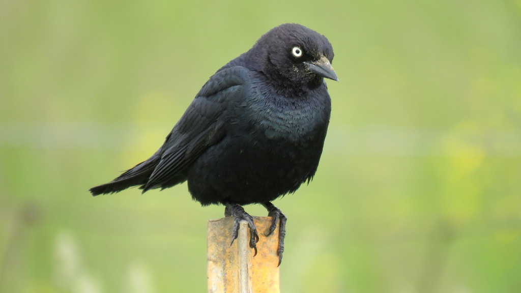
- Brewer's BlackbirdEuphagus cyanocephalus
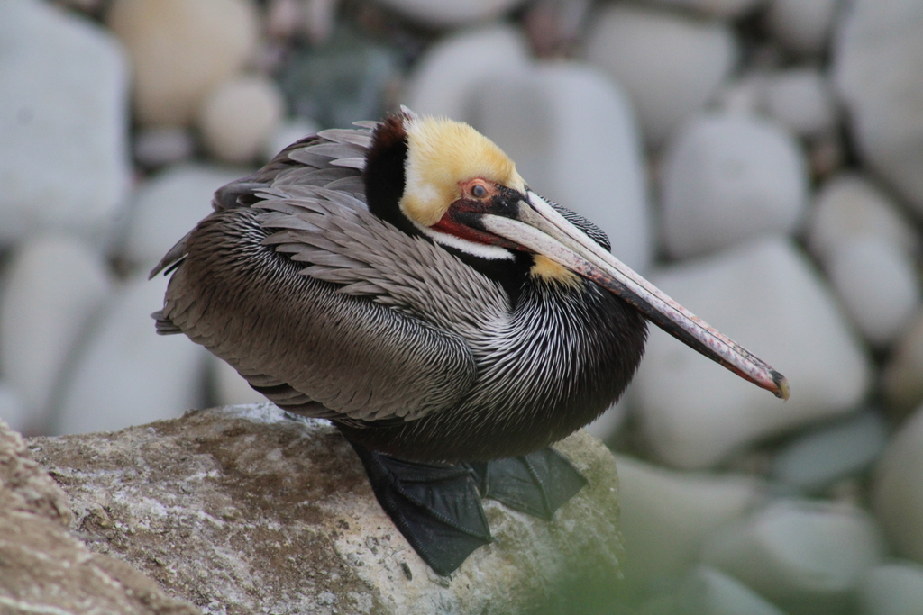
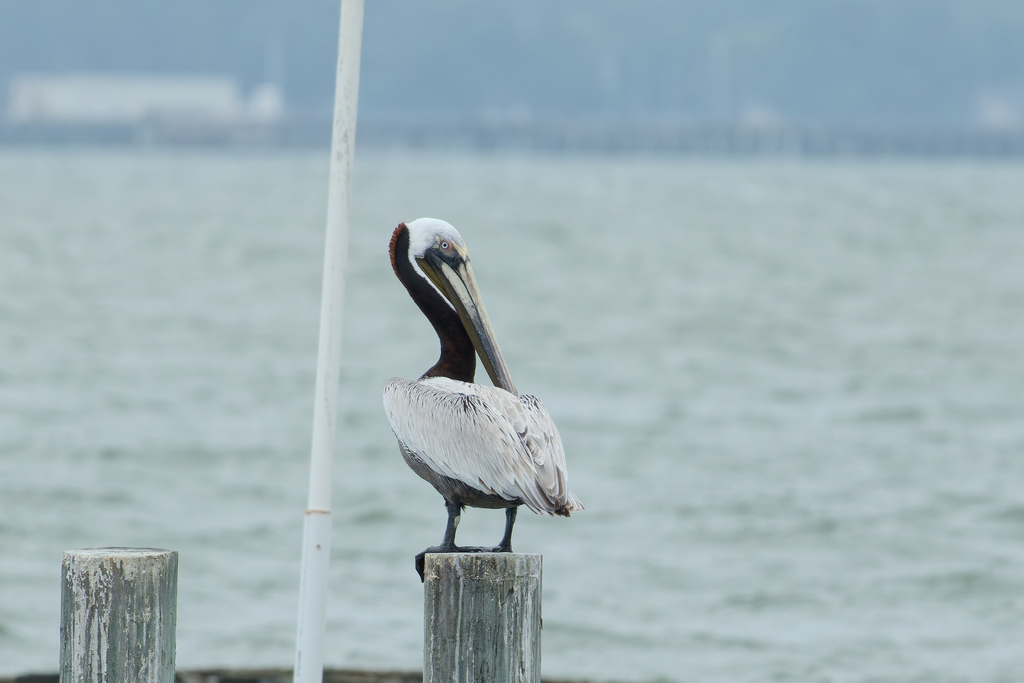
- Brown PelicanPelecanus occidentalis
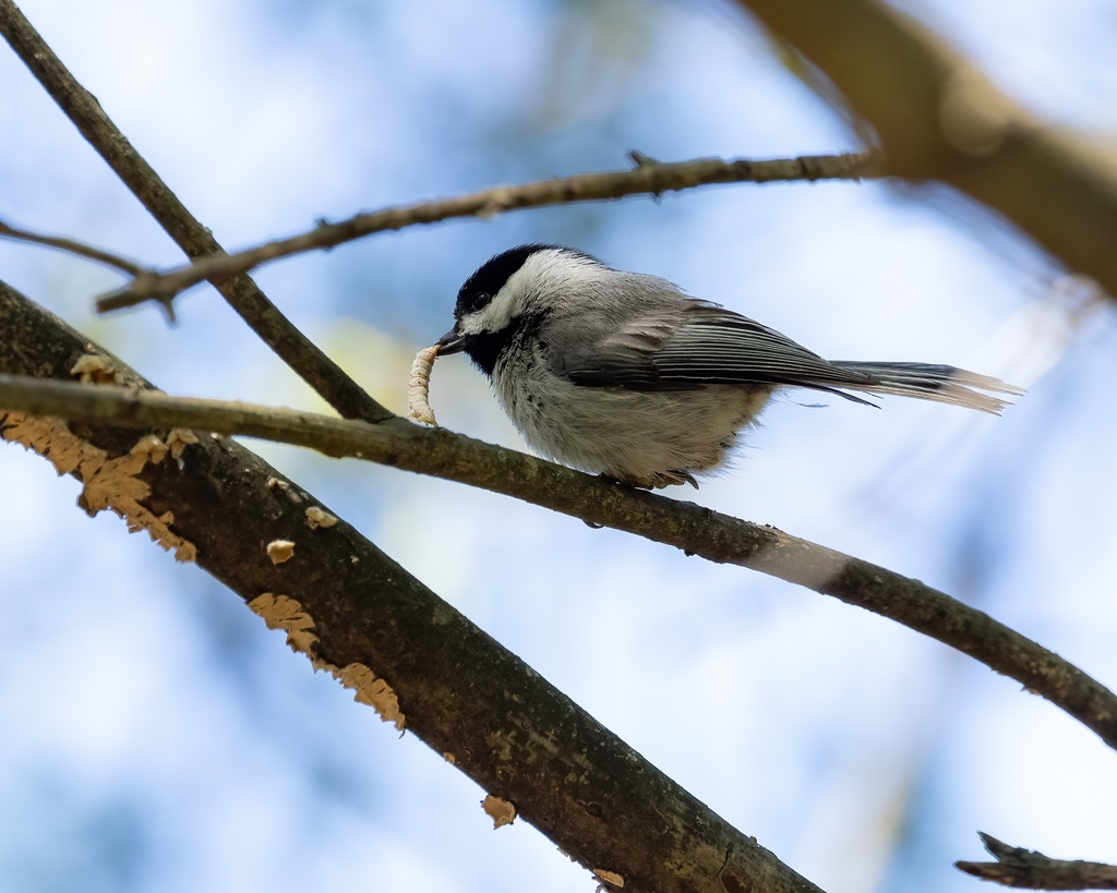
- Carolina ChickadeePoecile carolinensis
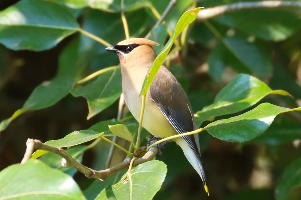
- Cedar WaxwingBombycilla cedrorum
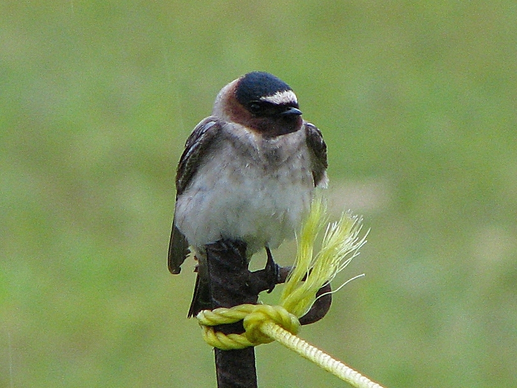
- Cliff SwallowPetrochelidon pyrrhonota
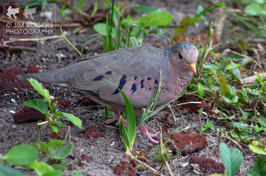
- Common Ground-doveColumbina passerina
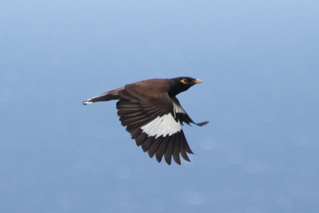
- Common MynaAcridotheres tristis
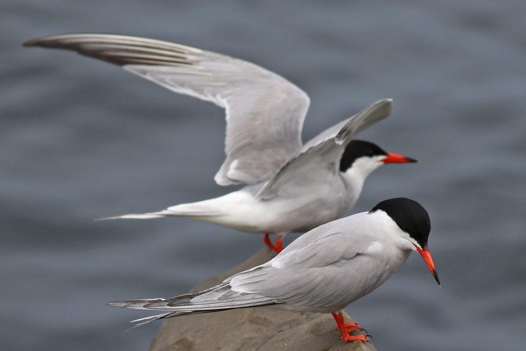
- Common TernSterna hirundo
- Eastern Brown PelicanPelecanus occidentalis carolinensis
- Eastern PhoebeSayornis phoebe
- Eastern Wood-peweeContopus virens
- Field SparrowSpizella pusilla
- Glaucous GullLarus hyperboreus
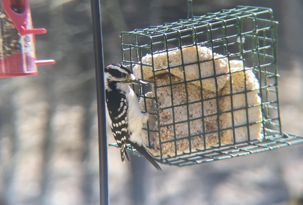
- Hairy WoodpeckerPicoides villosus
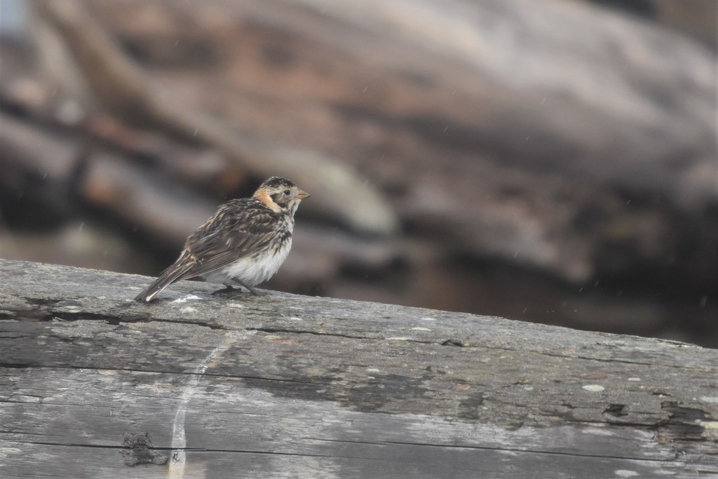
- Lapland LongspurCalcarius lapponicus
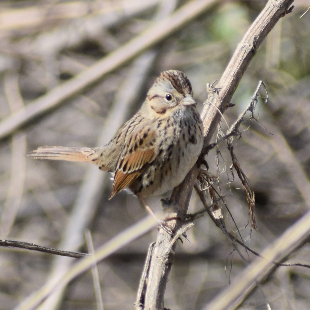
- Lincoln's SparrowMelospiza lincolnii
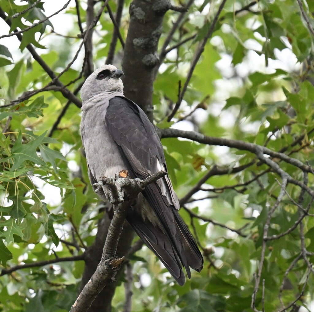
- Mississippi KiteIctinia mississippiensis
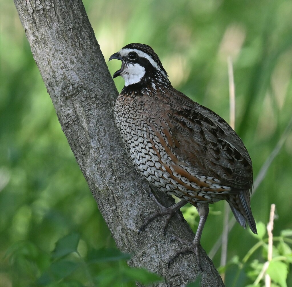
- Northern BobwhiteColinus virginianus
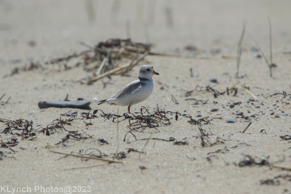
- Piping PloverCharadrius melodus
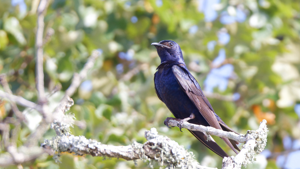
- Purple MartinProgne subis
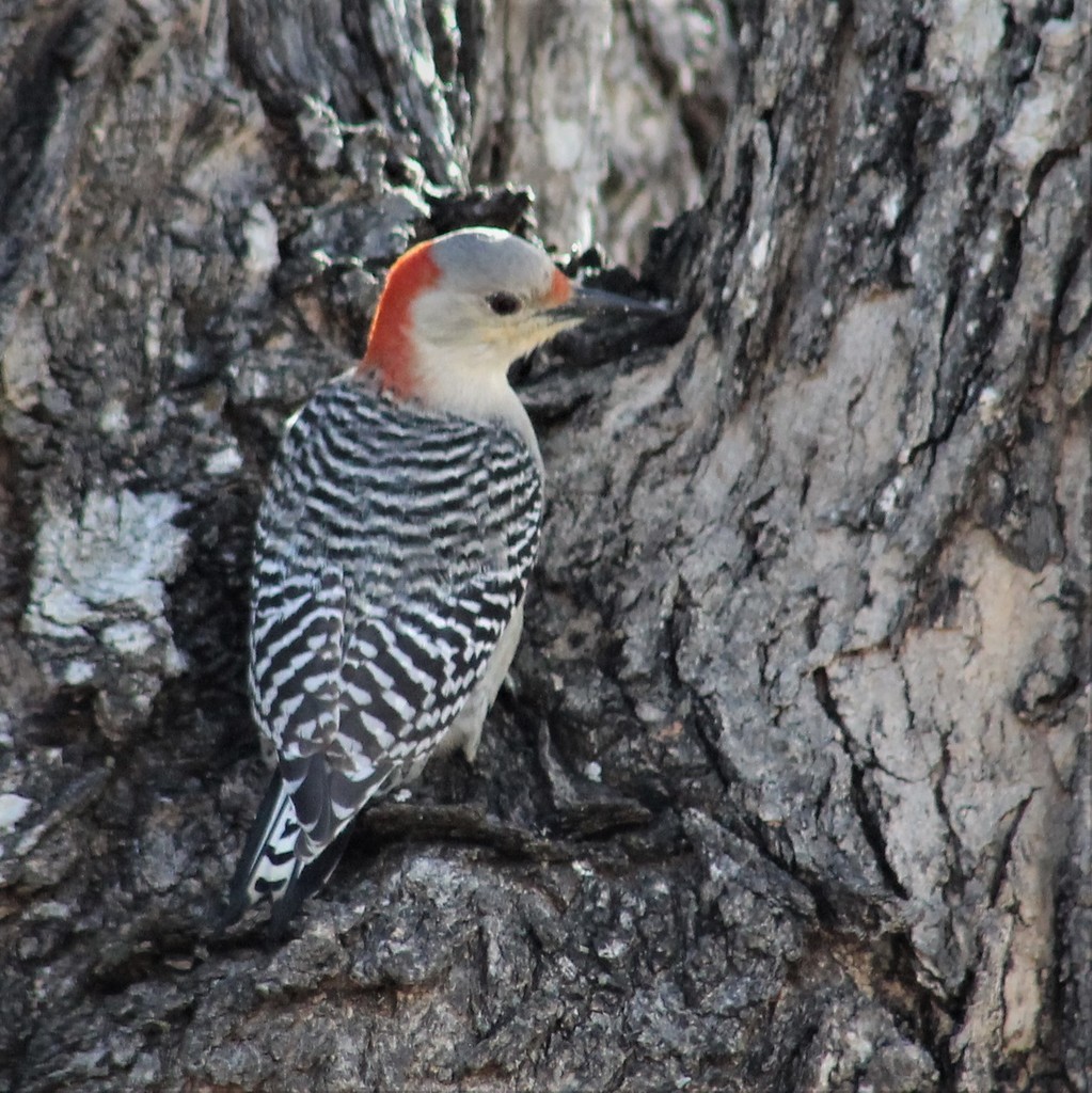
- Red-bellied WoodpeckerMelanerpes carolinus
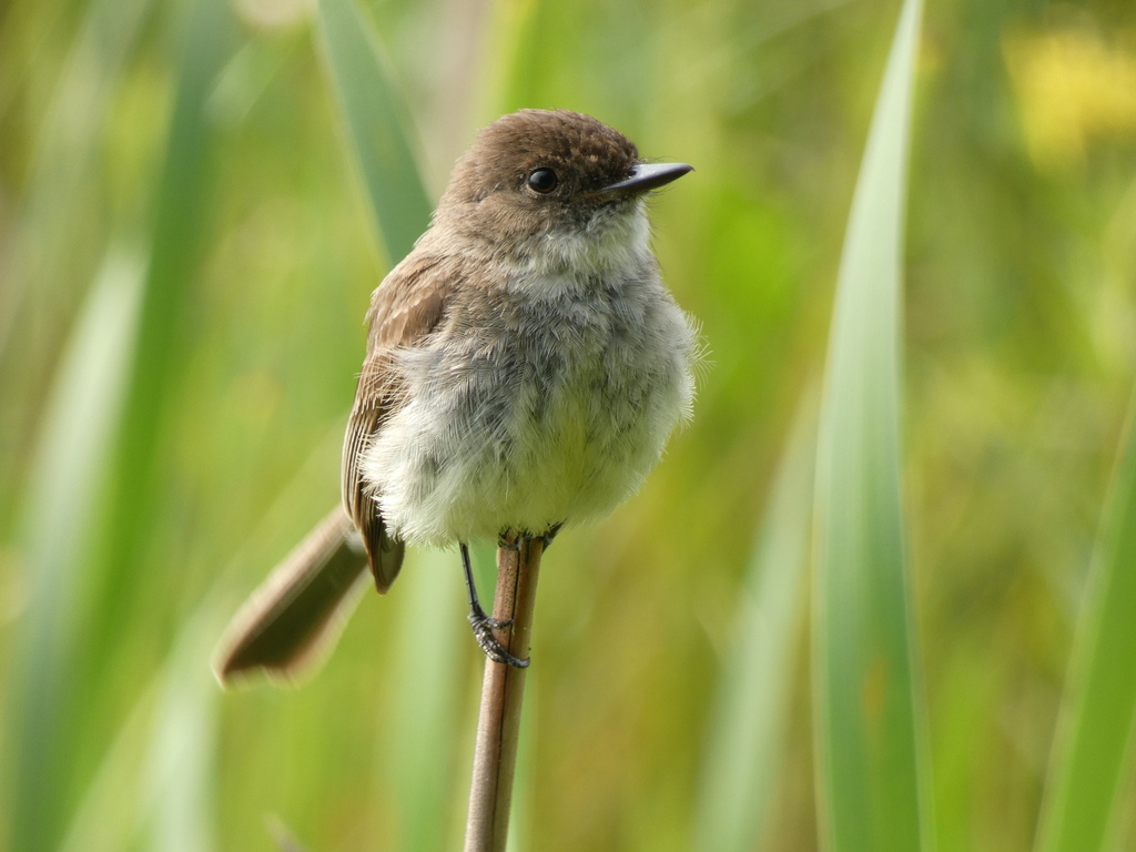
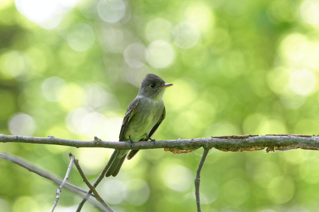
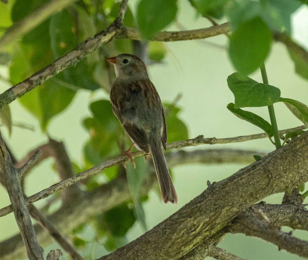
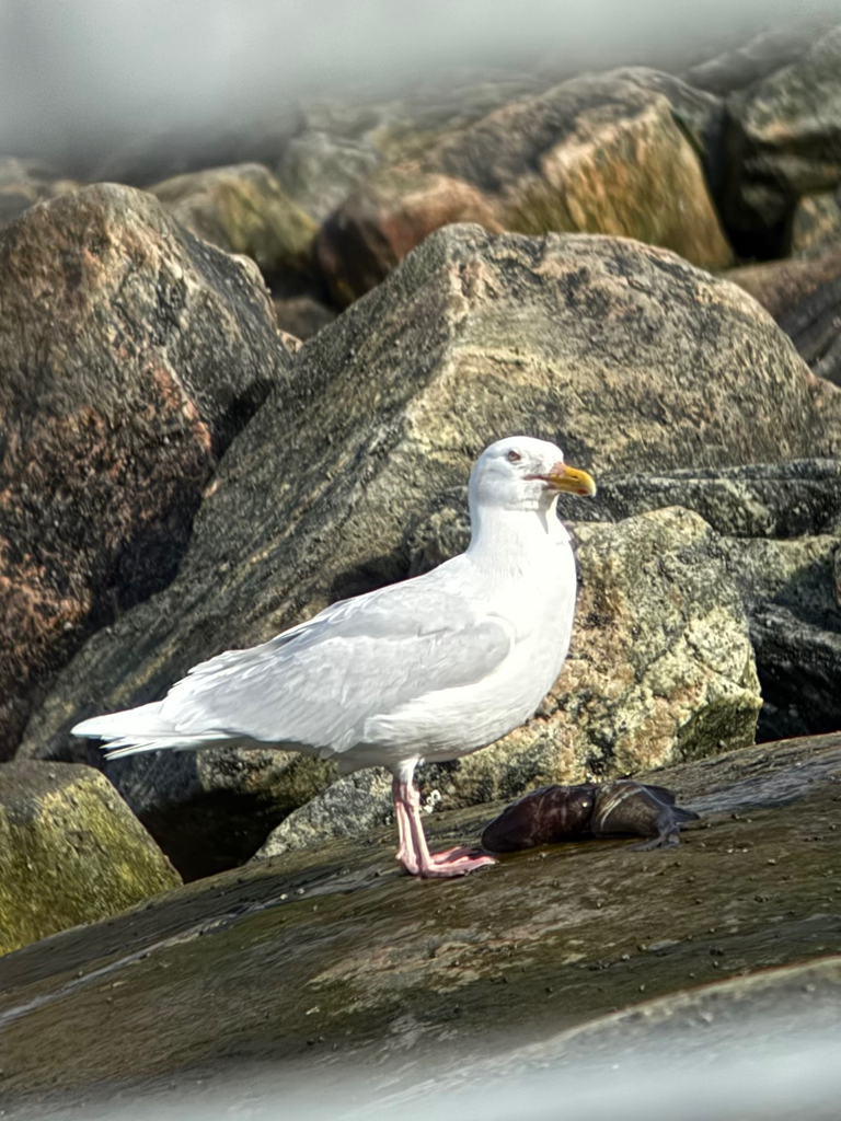
NatureServe Explorer, CC BY 4.0. USGS Gap Analysis Project habitat models.
Sources
- USGS Gap Analysis Project habitat models (2001)
- USGS GAP winter habitat model for Long-billed Dowitcher
- USGS Gap Analysis Project range maps (2001), modeled by watershed; migratory gives no dates
- NatureServe Explorer (CC BY 4.0), habitat names
- US Census TIGER/Line counties
- Names follow the USGS Gap Analysis Project (2001)