

Bird
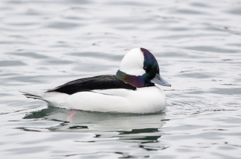
Bufflehead
Bucephala albeola
A winter visitor to Florida, found in all 67 counties and 2 habitats.
- Here
- Winter and on migration
- Nesting
- Not known to nest here
- Range
- All 67 counties
- Habitats
- 2
At a glance
- Group
- Birds
- Here
- Winter and on migration
- Nesting
- Not known to nest here
- Range
- All 67 counties
- Habitats
- 2
- Habitat models
- Winter
Where it lives
The places its habitat model includes. It is not found everywhere a habitat occurs.
Habitats in Florida 2
Each habitat page lists the plants and wildlife also found there.
1 of 2
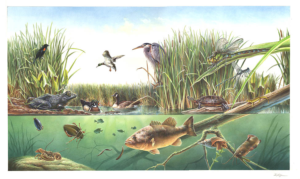
Salt and brackish open water of sounds, bays and estuaries, with the mud and sand flats and seagrass beds that tides cover and uncover; the vegetated marsh is salt and brackish marshes.
Seasons in Florida
- Migratory: does not nest here, in 8 of 67 counties.
- Winter: does not nest here, in 64 of 67 counties.
Also found in this habitat
Wildlife 153
Other animals whose habitat models include the same habitats in Florida. Not sighting records.
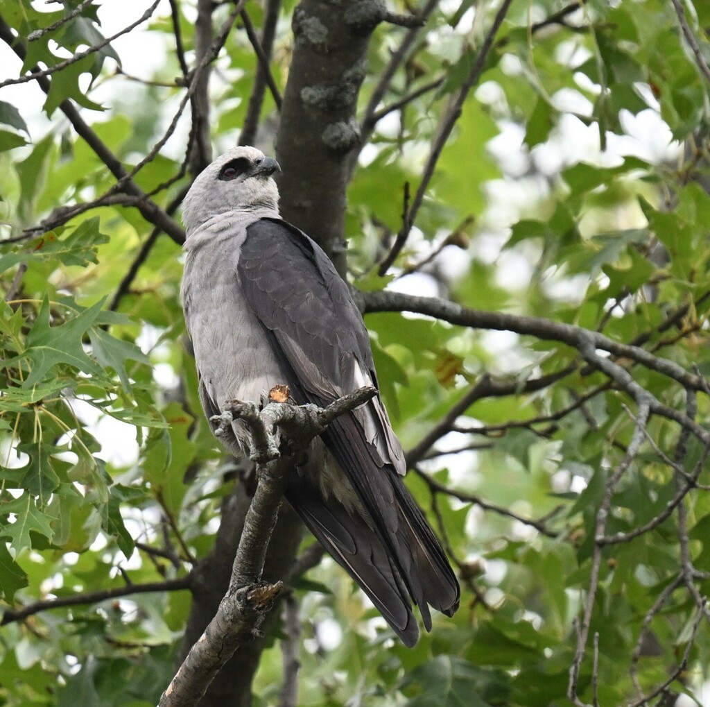
- Mississippi KiteIctinia mississippiensis
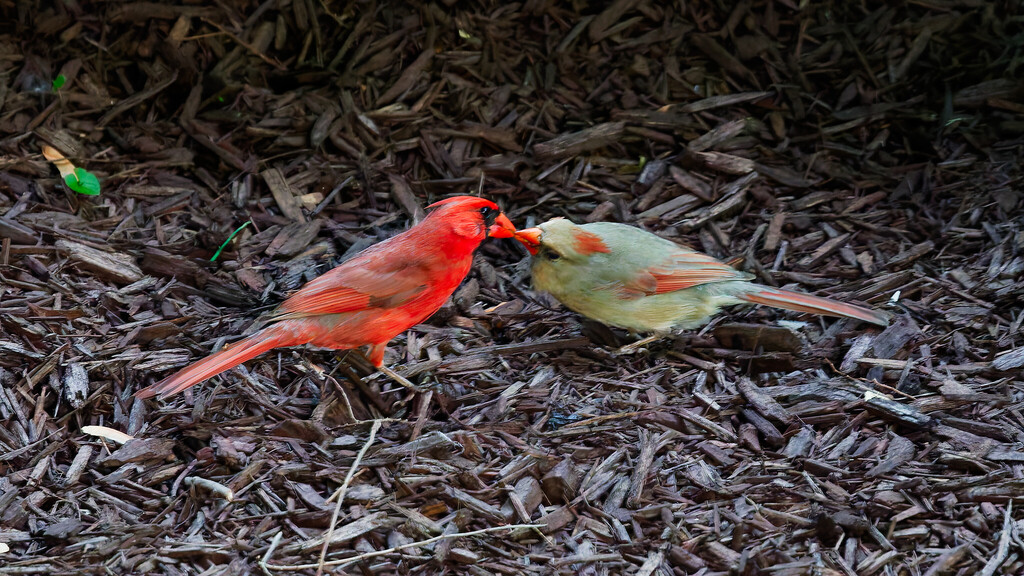
- Northern CardinalCardinalis cardinalis
- Painted BuntingPasserina ciris
- Palm WarblerDendroica palmarum
- Parasitic JaegerStercorarius parasiticus
- Peregrine FalconFalco peregrinus
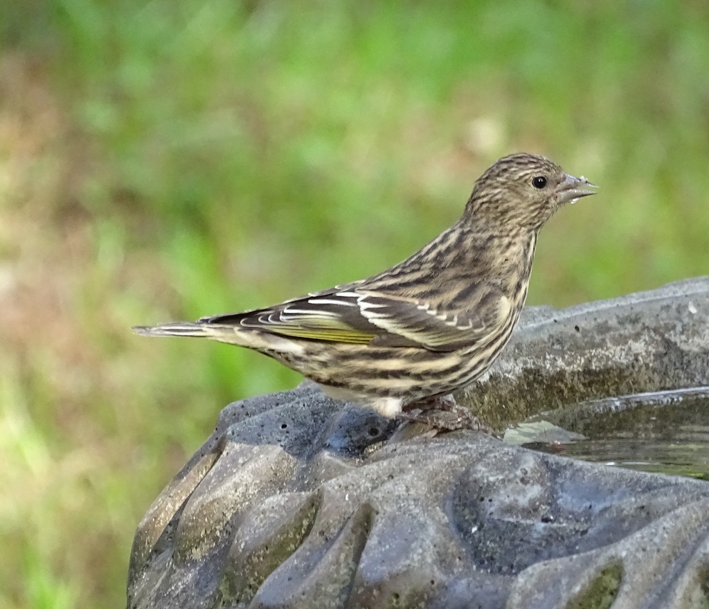
- Pine SiskinCarduelis pinus
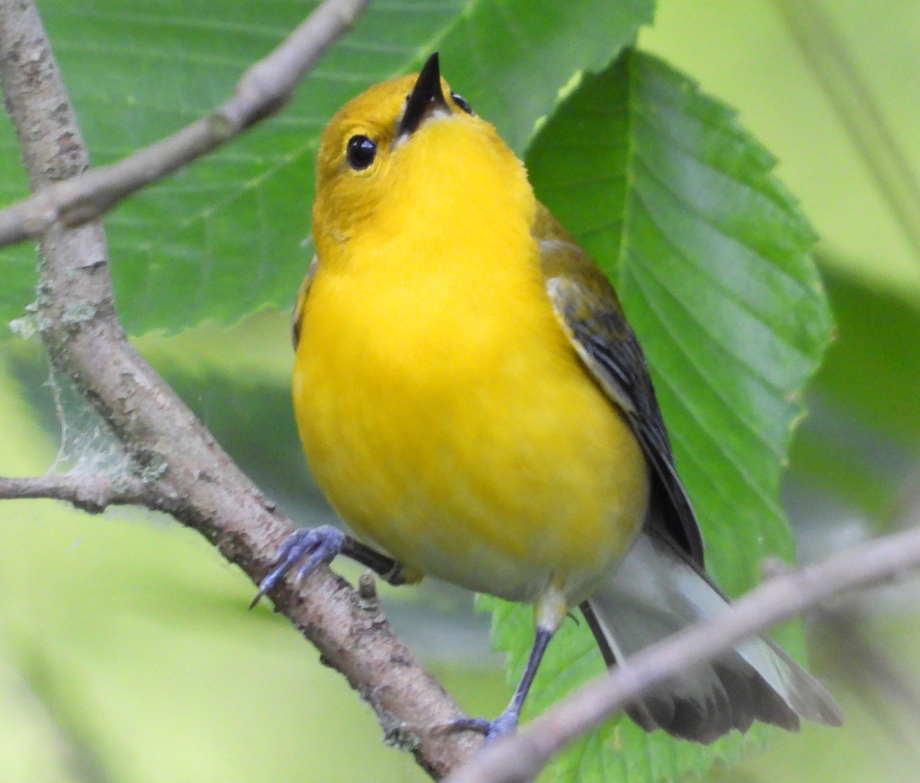
- Prothonotary WarblerProtonotaria citrea
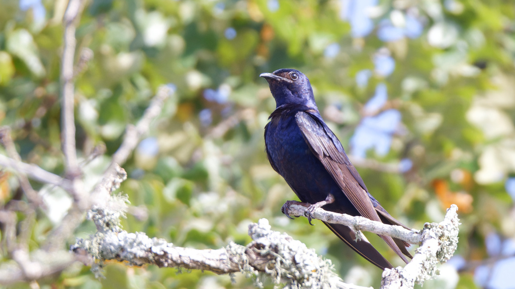
- Purple MartinProgne subis
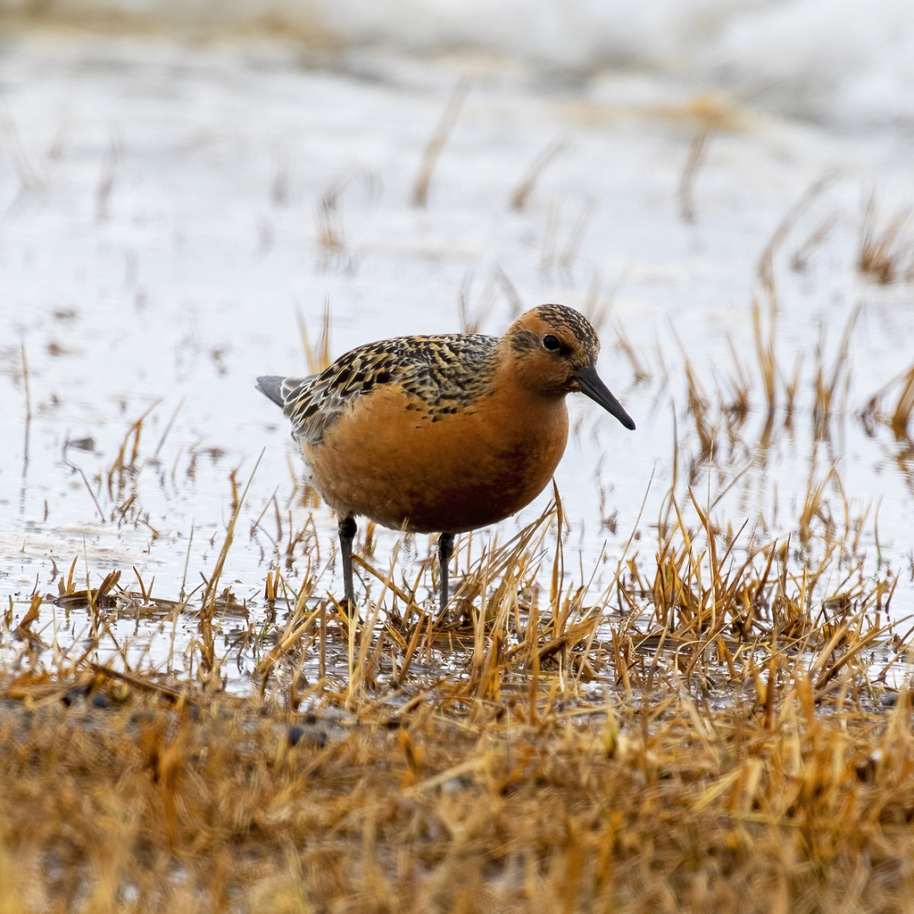
- Red KnotCalidris canutus
- Red-tailed HawkButeo jamaicensis
- Red-winged BlackbirdAgelaius phoeniceus
- Reddish EgretEgretta rufescens
- Roseate TernSterna dougallii
- Royal TernThalasseus maximus
- Ruddy TurnstoneArenaria interpres
- Rusty BlackbirdEuphagus carolinus
- Sandwich TernThalasseus sandvicensis
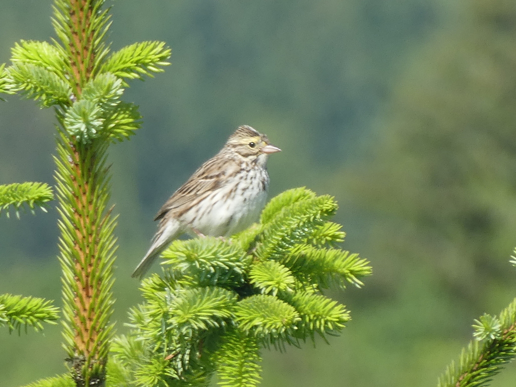
- Savannah SparrowPasserculus sandwichensis
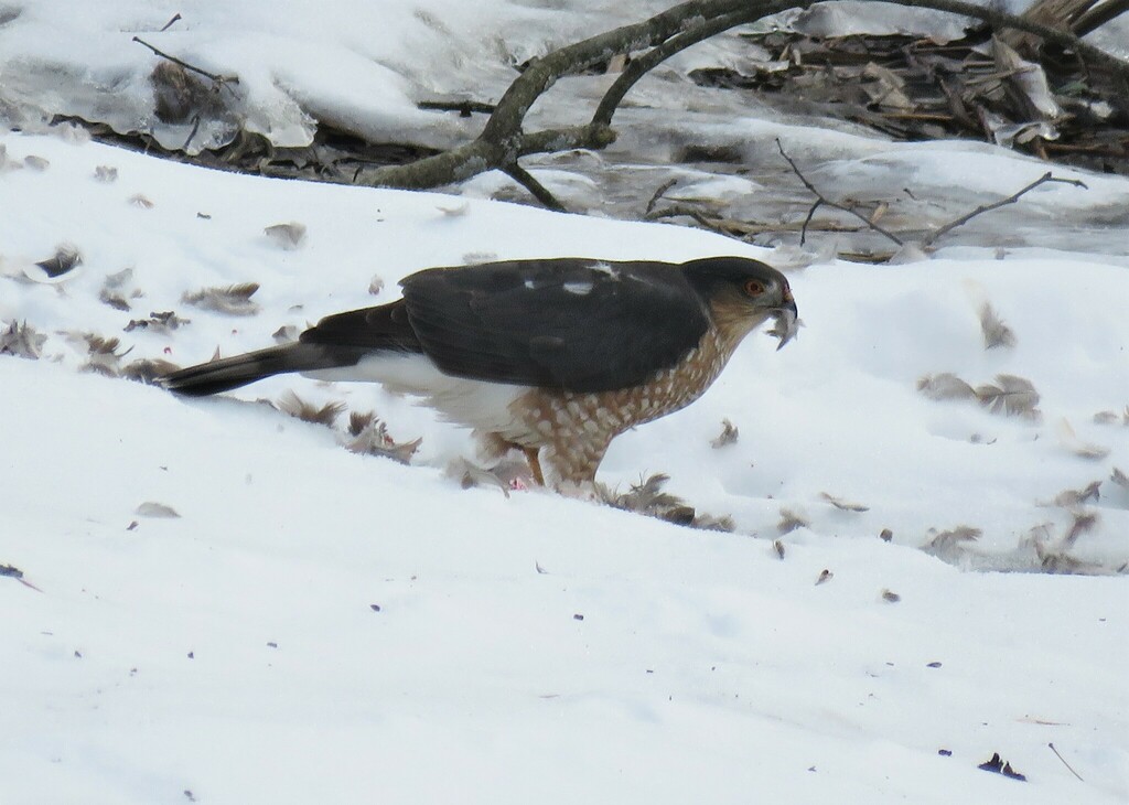
- Sharp-shinned HawkAccipiter striatus
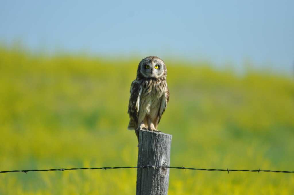
- Short-eared OwlAsio flammeus
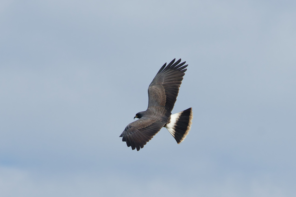
- Snail KiteRostrhamus sociabilis
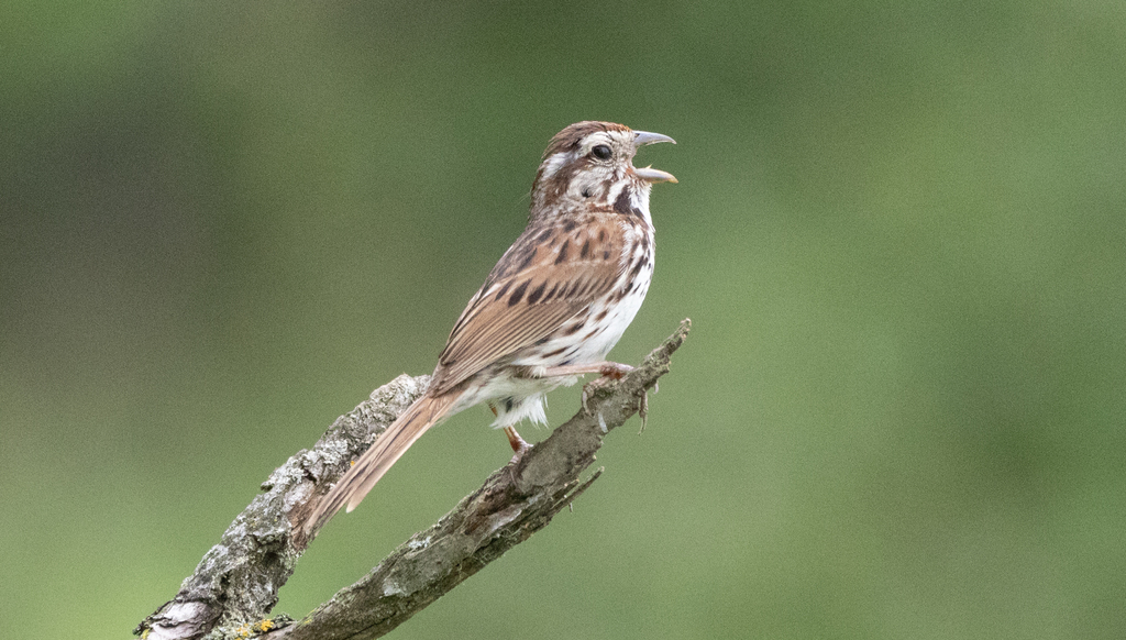
- Song SparrowMelospiza melodia
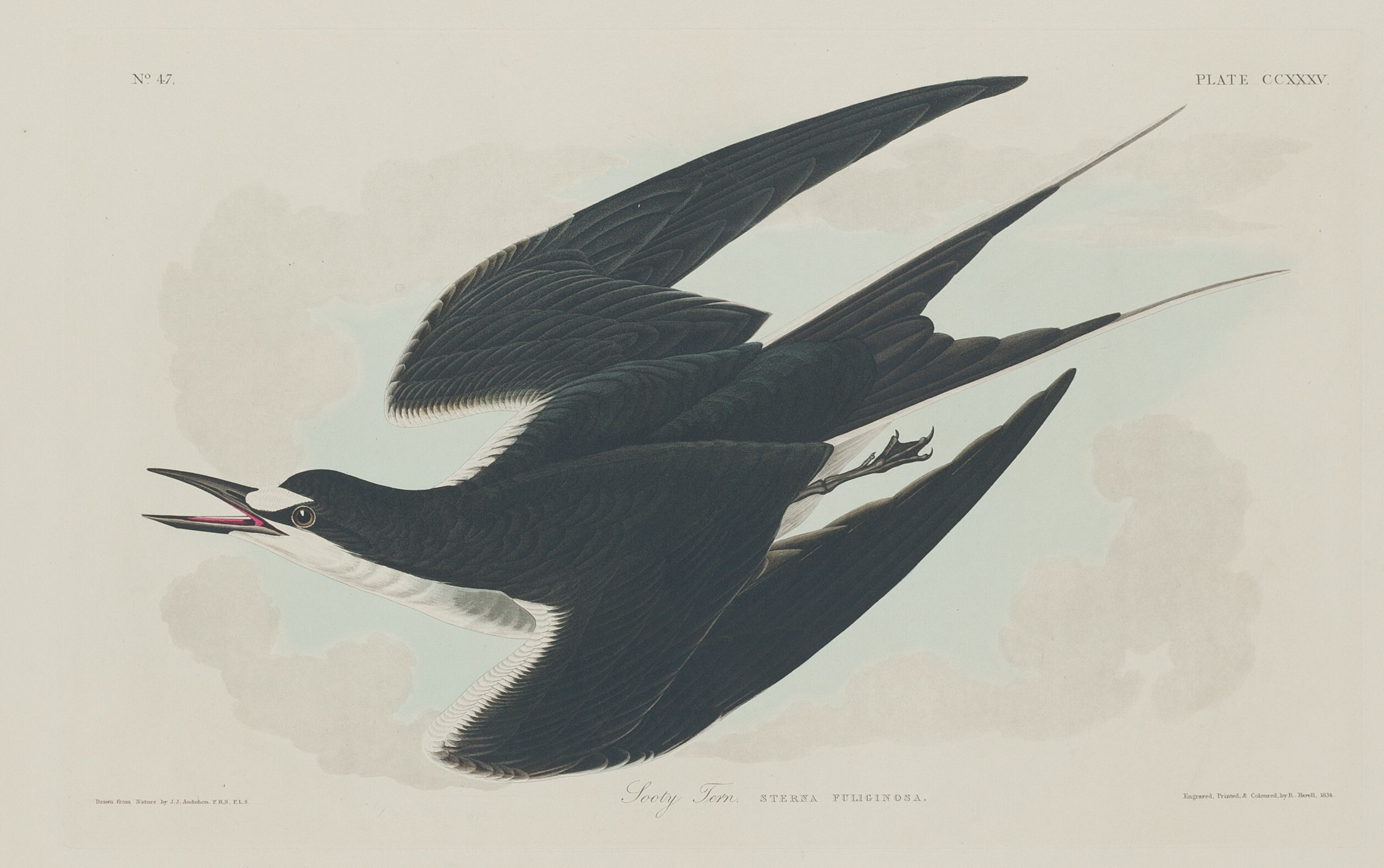
- Sooty TernOnychoprion fuscatus
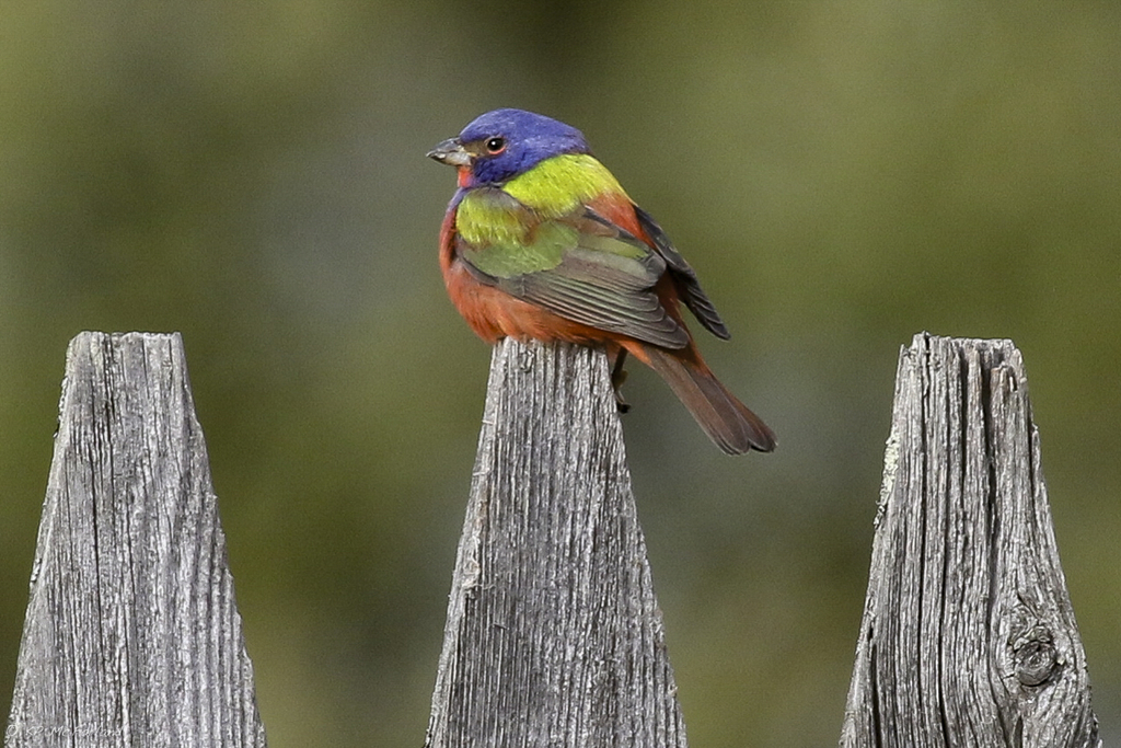
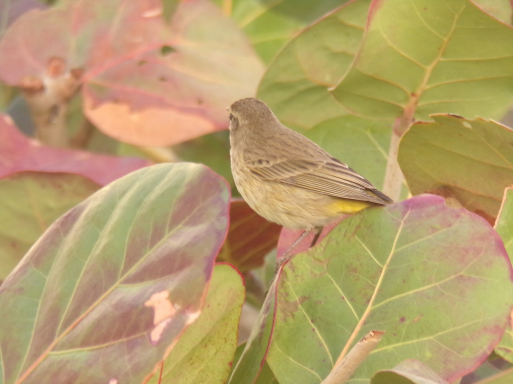
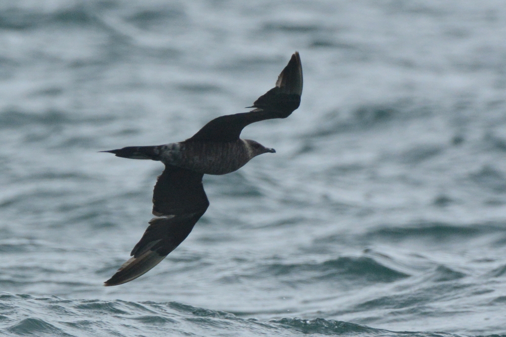
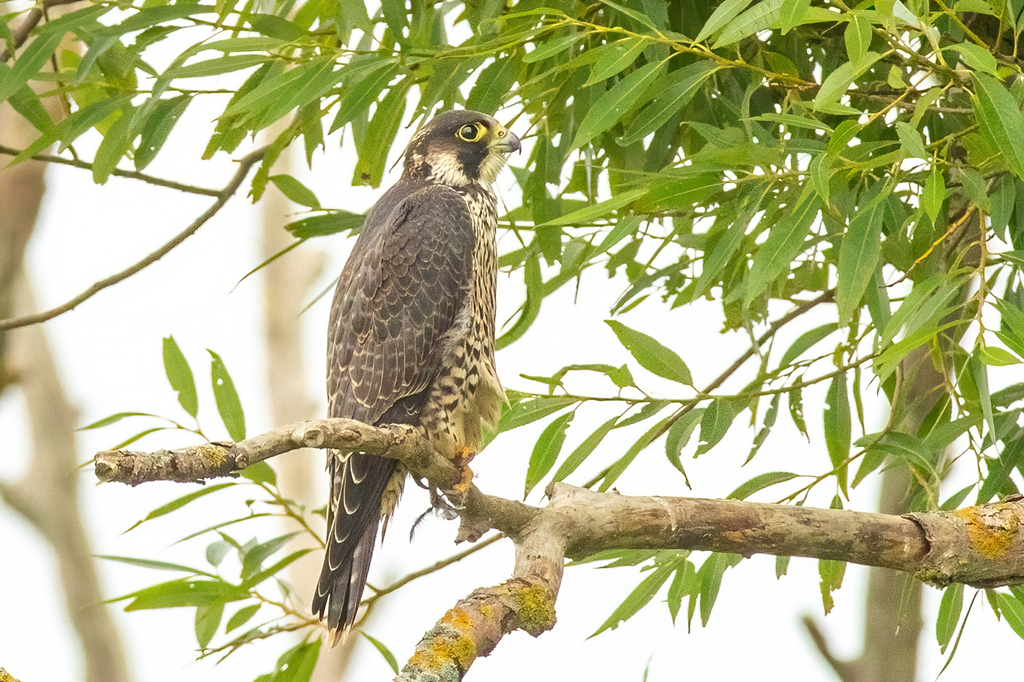
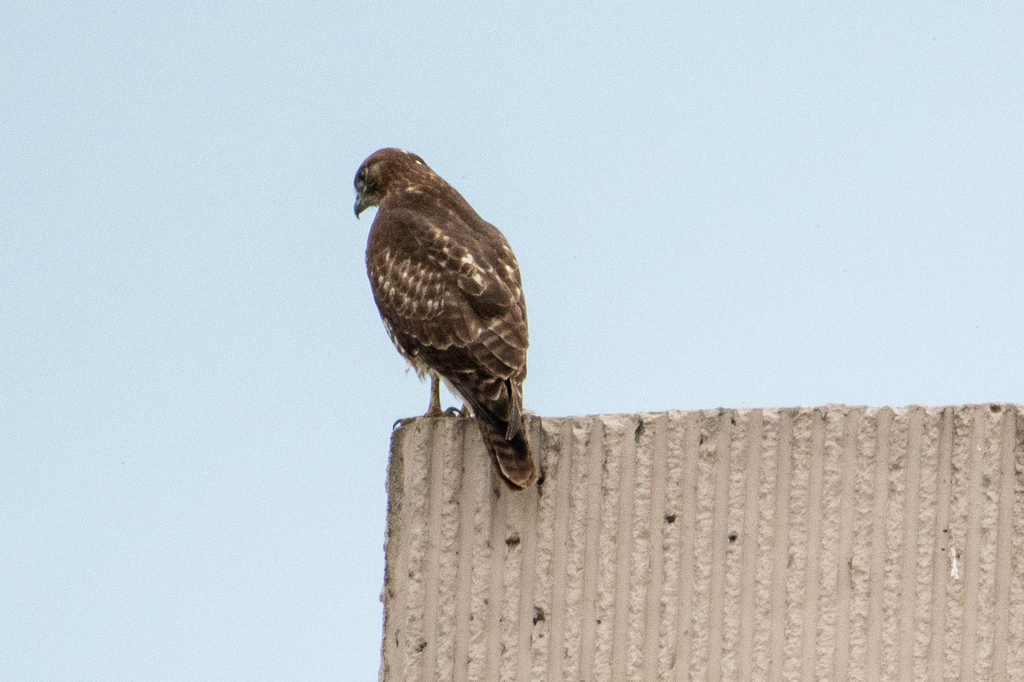
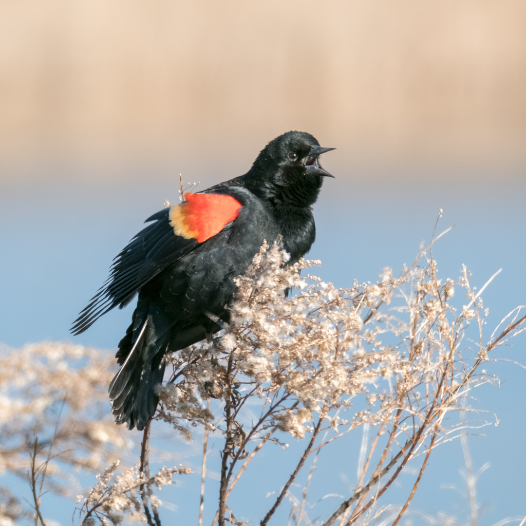
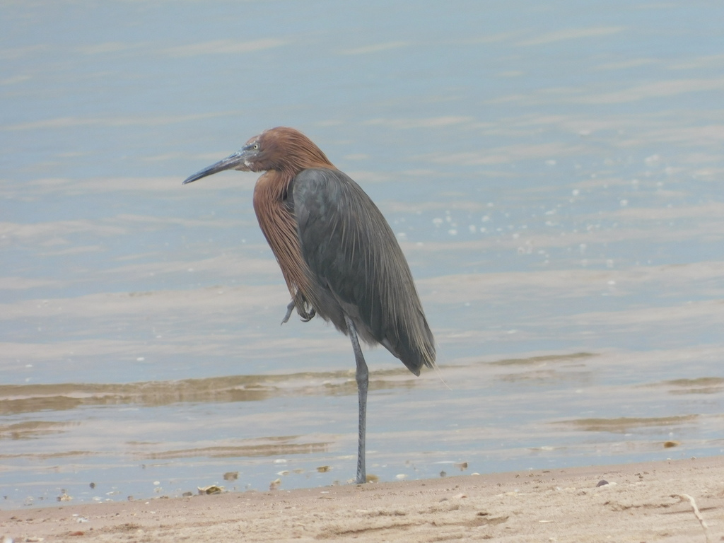
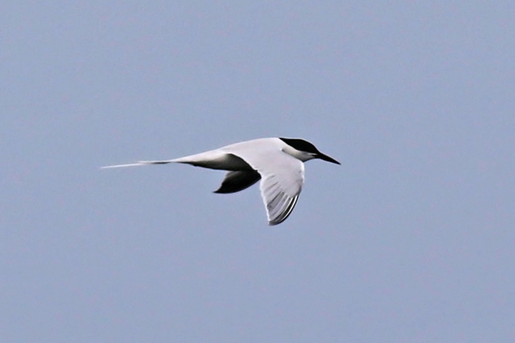
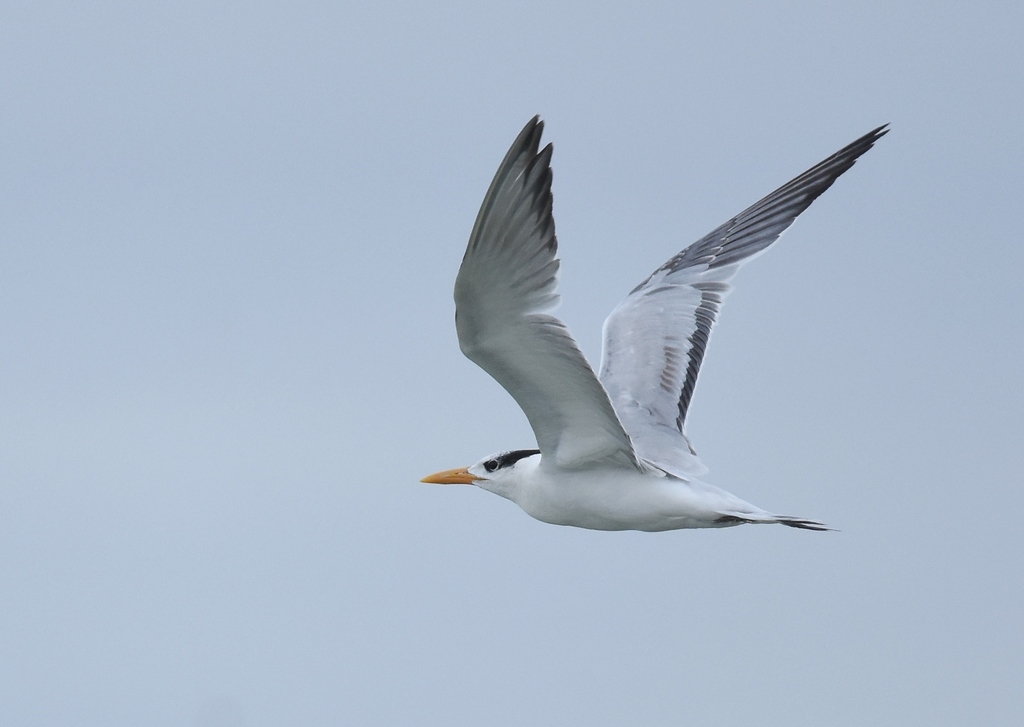
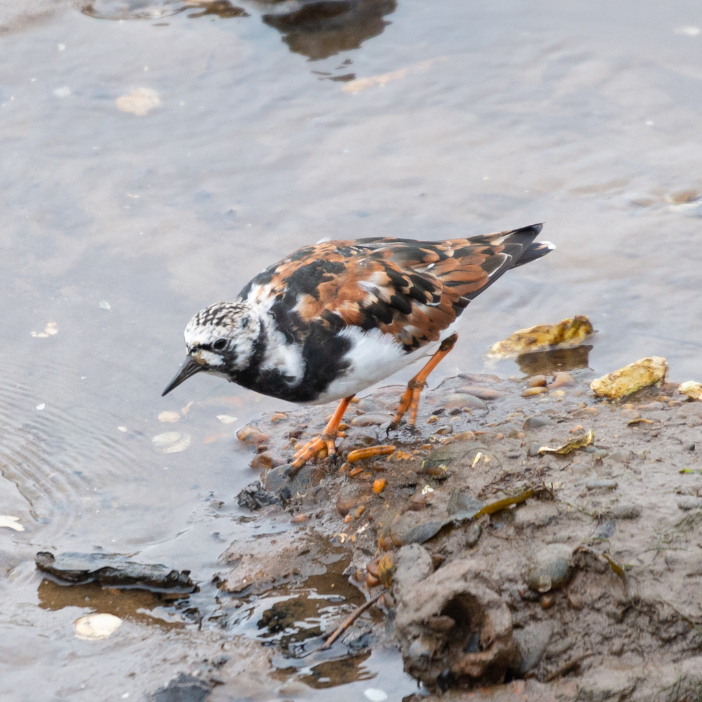
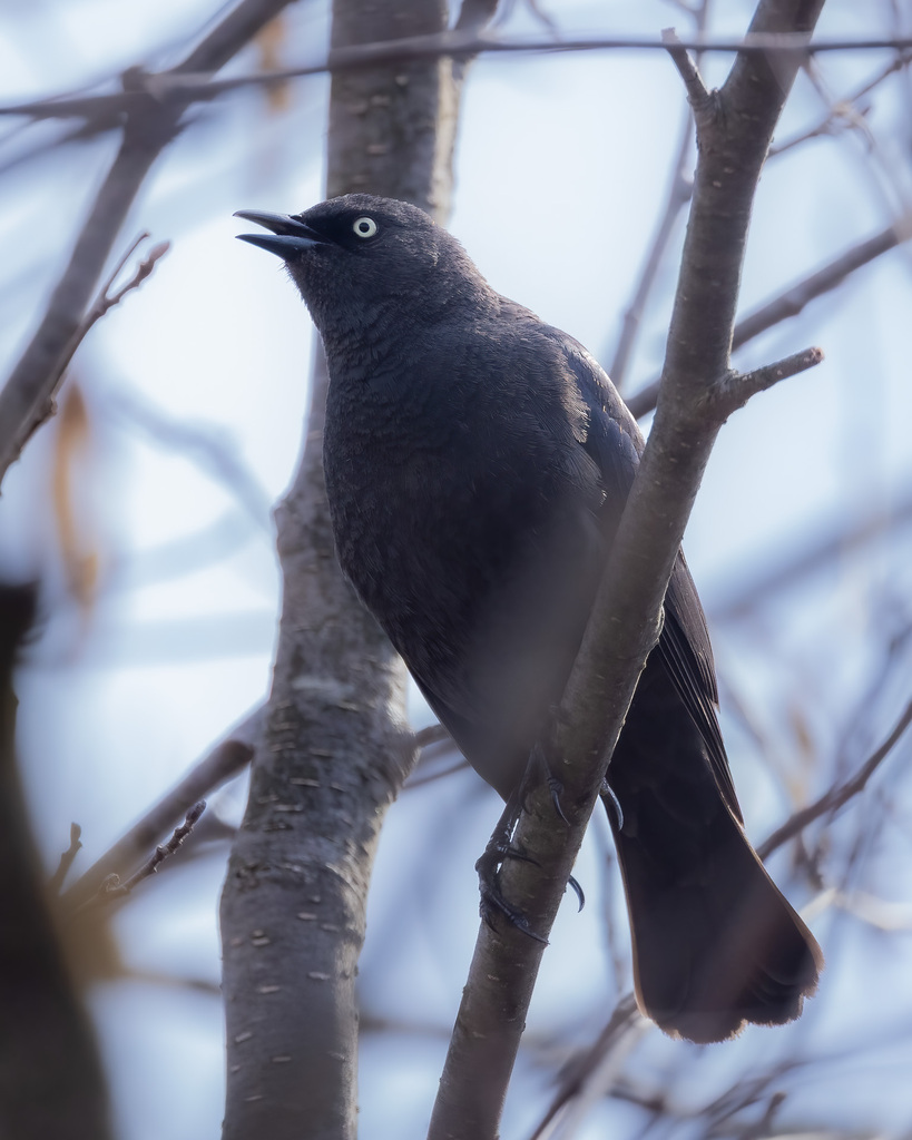
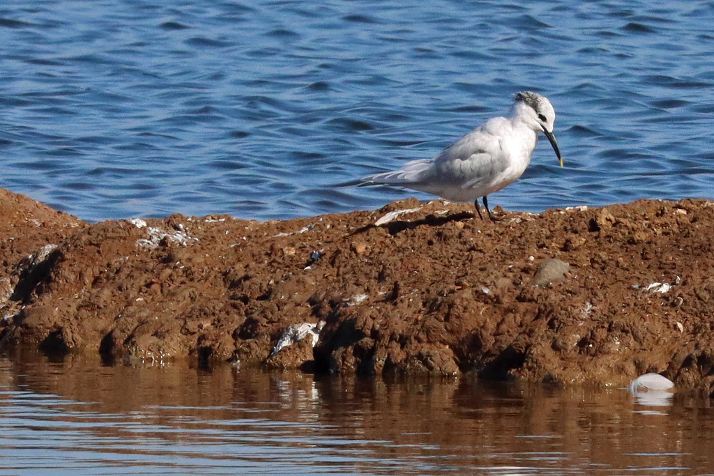
NatureServe Explorer, CC BY 4.0. USGS Gap Analysis Project habitat models.
Sources
- USGS Gap Analysis Project habitat models (2001)
- USGS GAP winter habitat model for Bufflehead Slow streams only
- USGS Gap Analysis Project range maps (2001), modeled by watershed; migratory gives no dates
- NatureServe Explorer (CC BY 4.0), habitat names
- US Census TIGER/Line counties
- Names follow the USGS Gap Analysis Project (2001)