

Bird
Bank Swallow
Riparia riparia
Passes through Florida on migration. Found in all 67 counties, across 16 habitats.
- Here
- On migration
- Nesting
- Not known to nest here
- Range
- All 67 counties
- Habitats
- 16

At a glance
- Group
- Birds
- Here
- On migration
- Nesting
- Not known to nest here
- Range
- All 67 counties
- Habitats
- 16
- Habitat models
- Summer
Where it lives
The places its habitat model includes. It is not found everywhere a habitat occurs.
Habitats in Florida 16
Each habitat page lists the plants and wildlife also found there.
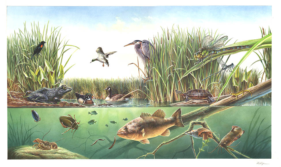
Open sand of beaches, dunes and the hollows between them.
Open, wet, seepage-fed bogs of the Coastal Plain and Sandhills, often with pitcher plants.
Coastal tidal marshes (salinity not stated)
Tidal marshes of the Atlantic and Gulf coasts where the source does not say whether the water is fresh, brackish or salt. A stated salinity files the marsh under freshwater tidal marshes or salt and brackish marshes instead.
Depression ponds and limesinks
Shallow ponds in Coastal Plain depressions, such as limesinks and the ponds in some Carolina bays, that rise and fall with the seasons.
Disturbed and introduced wetlands
Wet ground taken over by weedy or introduced plants after disturbance, such as common reed, Chinese tallow or tamarisk stands; the upland counterpart is roadsides, fields and disturbed ground.
Marshes along tidal rivers where the water is fresh but rises and falls with the tide.
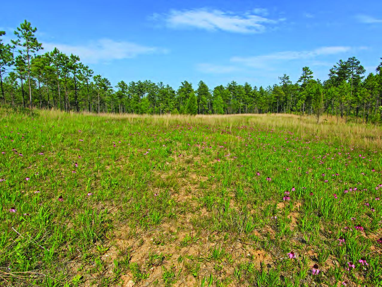
Open, fire-kept longleaf pine stands over grasses and wildflowers on wet to moist sandy soil.
Coastal marshes flooded by salty or brackish tides.
Salt and brackish open water of sounds, bays and estuaries, with the mud and sand flats and seagrass beds that tides cover and uncover; the vegetated marsh is salt and brackish marshes.
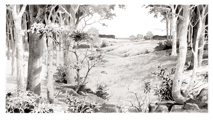
Evergreen scrub oaks, sand pine and rosemary on deep, white, drought-prone sand ridges, burned rarely but intensely; distinct from the longleaf and turkey oak sandhills.
Flat, sandy Coastal Plain pine woodlands, wetter than sandhills and denser than savannas.
Roadsides, fields and disturbed ground
Ground opened by people: roadsides, old fields, pastures, fencerows and lots.
Other habitats in its models (80)
Land cover, or classes with no habitat page in Florida.
- Developed, Low Intensity Summer, only within 250 m of water.
- Quarries, Mines, Gravel Pits and Oil Wells Summer, only within 250 m of water.
- Open Water (Aquaculture) Summer.
- Barren Land Summer, only within 250 m of water.
- Unconsolidated Shore (Lake/River/Pond) Summer.
- Unconsolidated Shore Summer.
- Upper Texas Coast Beach Summer.
- Louisiana Beach Summer.
- Texas Coastal Bend Beach Summer.
- Central Interior Calcareous Cliff and Talus Summer, only within 250 m of water.
- Central Interior Acidic Cliff and Talus Summer, only within 250 m of water.
- North-Central Appalachian Circumneutral Cliff and Talus Summer, only within 250 m of water.
- North-Central Appalachian Acidic Cliff and Talus Summer, only within 250 m of water.
- Southern Piedmont Cliff Summer, only within 250 m of water.
- Southern Interior Acid Cliff Summer, only within 250 m of water.
- Southern Appalachian Montane Cliff Summer, only within 250 m of water.
- Southern Interior Calcareous Cliff Summer, only within 250 m of water.
- East Gulf Coastal Plain Dry Chalk Bluff Summer, only within 250 m of water.
- Southern Appalachian Rocky Summit Summer, only within 250 m of water.
- Southern Appalachian Granitic Dome Summer, only within 250 m of water.
- Southern Piedmont Granite Flatrock Summer, only within 250 m of water.
- Ridge and Valley Calcareous Valley Bottom Glade and Woodland Summer, only within 250 m of water.
- East Gulf Coastal Plain Black Belt Calcareous Prairie and Woodland - Herbaceous Modifier Summer, only within 250 m of water.
- Edwards Plateau Limestone Savanna and Woodland Summer, only within 250 m of water.
- East Gulf Coastal Plain Black Belt Calcareous Prairie and Woodland - Woodland Modifier Summer, only within 250 m of water.
- Appalachian Shale Barrens Summer, only within 250 m of water.
- Central Interior Highlands Dry Acidic Glade and Barrens Summer, only within 250 m of water.
- Central Appalachian Pine-Oak Rocky Woodland Summer, only within 250 m of water.
- Northeastern Interior Pine Barrens Summer, only within 250 m of water.
- Tamaulipan Mixed Deciduous Thornscrub Summer, only within 250 m of water.
- Tamaulipan Mesquite Upland Scrub Summer, only within 250 m of water.
- Tamaulipan Calcareous Thornscrub Summer, only within 250 m of water.
- North-Central Interior Oak Savanna Summer, only within 250 m of water.
- North-Central Oak Barrens Summer, only within 250 m of water.
- Southern Piedmont Glade and Barrens Summer, only within 250 m of water.
- Nashville Basin Limestone Glade Summer, only within 250 m of water.
- Cumberland Sandstone Glade and Barrens Summer, only within 250 m of water.
- Central Appalachian Alkaline Glade and Woodland Summer, only within 250 m of water.
- Central Interior Highlands Calcareous Glade and Barrens Summer, only within 250 m of water.
- Atlantic Coastal Plain Xeric River Dune Summer.
- Southern Appalachian Grass and Shrub Bald - Shrub Modifier Summer, only within 250 m of water.
- Southern Appalachian Grass and Shrub Bald - Herbaceous Modifier Summer, only within 250 m of water.
- Eastern Highland Rim Prairie and Barrens - Dry Modifier Summer, only within 250 m of water.
- Central Mixedgrass Prairie Summer, only within 250 m of water.
- North-Central Interior Sand and Gravel Tallgrass Prairie Summer, only within 250 m of water.
- Arkansas Valley Prairie and Woodland Summer, only within 250 m of water.
- Central Tallgrass Prairie Summer, only within 250 m of water.
- Southern Blackland Tallgrass Prairie Summer, only within 250 m of water.
- Southeastern Great Plains Tallgrass Prairie Summer, only within 250 m of water.
- West Gulf Coastal Plain Northern Calcareous Prairie Summer, only within 250 m of water.
- West Gulf Coastal Plain Southern Calcareous Prairie Summer, only within 250 m of water.
- East Gulf Coastal Plain Jackson Prairie and Woodland Summer, only within 250 m of water.
- Texas-Louisiana Coastal Prairie Summer, only within 250 m of water.
- Central and Upper Texas Coast Dune and Coastal Grassland Summer.
- Harvested Forest - Grass/Forb Regeneration Summer, only within 250 m of water.
- Recently Burned Grassland Summer, only within 250 m of water.
- Recently Burned Shrubland Summer, only within 250 m of water.
- Introduced Upland Vegetation - Forbland Summer, only within 250 m of water.
- Introduced Upland Vegetation - Annual Grassland Summer, only within 250 m of water.
- Introduced Upland Vegetation - Perennial Grassland Summer, only within 250 m of water.
- Modified/Managed Southern Tall Grassland Summer, only within 250 m of water.
- Atlantic Coastal Plain Embayed Region Tidal Salt and Brackish Marsh Summer.
- Atlantic Coastal Plain Northern Tidal Salt Marsh Summer.
- Atlantic Coastal Plain Clay-Based Carolina Bay Herbaceous Wetland Summer.
- Central Interior and Appalachian Shrub-Herbaceous Wetland Systems Summer.
- Atlantic Coastal Plain Embayed Region Tidal Freshwater Marsh Summer.
- Central Florida Herbaceous Seep Summer.
- Atlantic Coastal Plain Northern Fresh and Oligohaline Tidal Marsh Summer.
- Southern and Central Appalachian Bog and Fen Summer.
- South Florida Wet Marl Prairie Summer.
- Texas Saline Coastal Prairie Summer.
- Eastern Great Plains Wet Meadow, Prairie, and Marsh Summer.
- East Gulf Coastal Plain Southern Depression Pondshore Summer.
- South Florida Freshwater Slough and Gator Hole Summer.
- East Gulf Coastal Plain Large River Floodplain Forest - Herbaceous Modifier Summer.
- South-Central Interior Large Floodplain - Herbaceous Modifier Summer.
- Western Great Plains Floodplain Systems Summer.
- Cumberland Riverscour Summer.
- South-Central Interior Small Stream and Riparian Summer.
- Texas-Louisiana Coastal Prairie Slough Summer.
Seasons in Florida
- Migratory: does not nest here, in all 67 counties.
Also found in this habitat
Plants 399
Plants named in NatureServe descriptions of these habitats that grow in Florida. Shared habitat, not food.
- Common WaxmyrtleMorella cerifera
- Serenoa repensSerenoa repens
- Sea OatsUniola paniculata
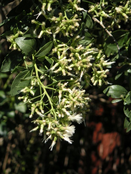
- Groundsel-treeBaccharis halimifolia
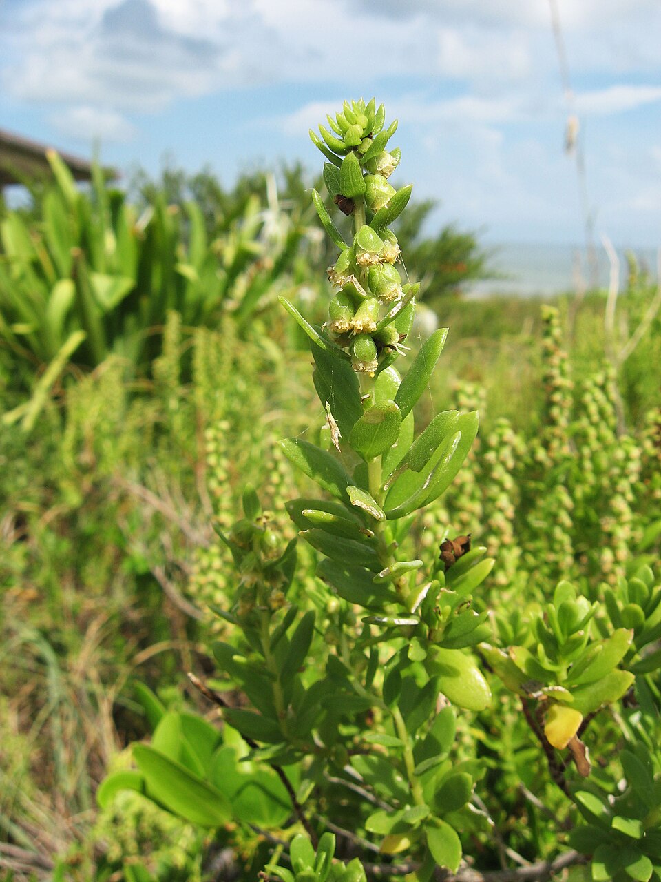
- Dune Marsh-elderIva imbricata
- Black NeedlerushJuncus roemerianus
- Saltmeadow CordgrassSpartina patens
- Seashore SaltgrassDistichlis spicata
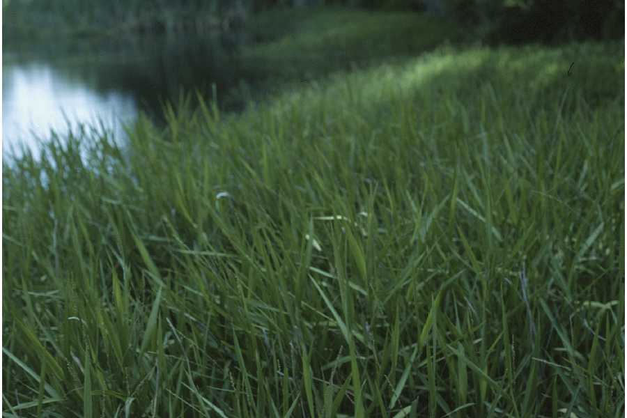
- MaidencaneHymenachne hemitomon
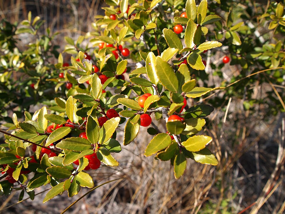
- Yaupon HollyIlex vomitoria
- Muhlenbergia capillaris var. filipesMuhlenbergia capillaris var. filipes
- Violet ButterwortPinguicula ionantha
- Sand Live OakQuercus geminata
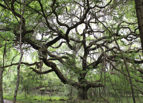
- Live OakQuercus virginiana
- Common Three Square BulrushSchoenoplectus pungens
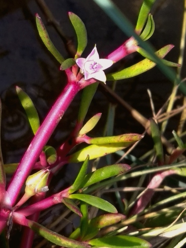
- Shoreline Sea-purslaneSesuvium portulacastrum
- Saltmarsh CordgrassSpartina alterniflora
- Coelorachis tuberculosaCoelorachis tuberculosa
- Tropical WaxweedCuphea aspera
- Curtiss' PrimrosewillowLudwigia curtissii
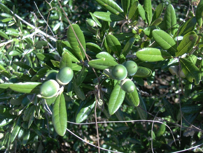
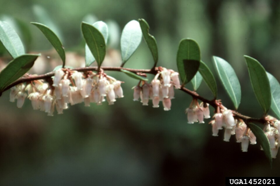
- Shining FetterbushLyonia lucida
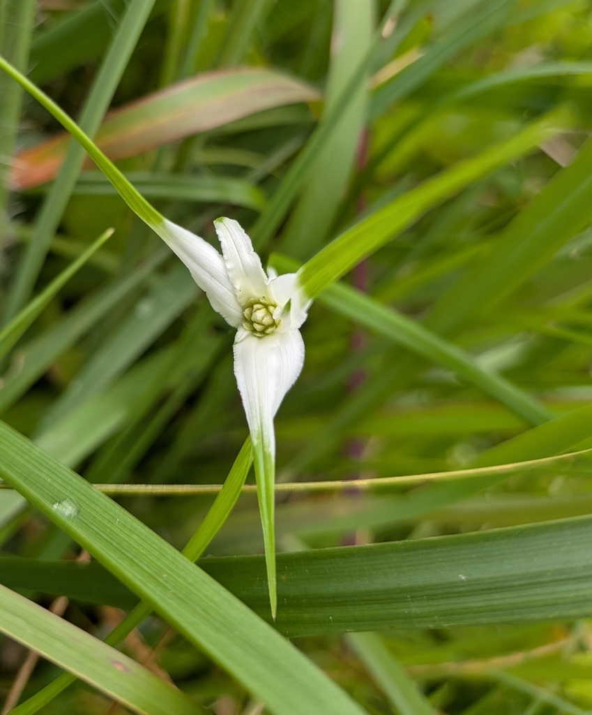
- Starrush Whitetop SedgeRhynchospora colorata
- Cabbage PalmettoSabal palmetto
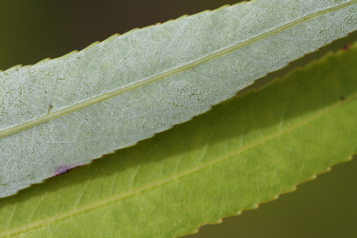
- Coastal Plain WillowSalix caroliniana

Wildlife 286
Other animals whose habitat models include the same habitats in Florida. Not sighting records.
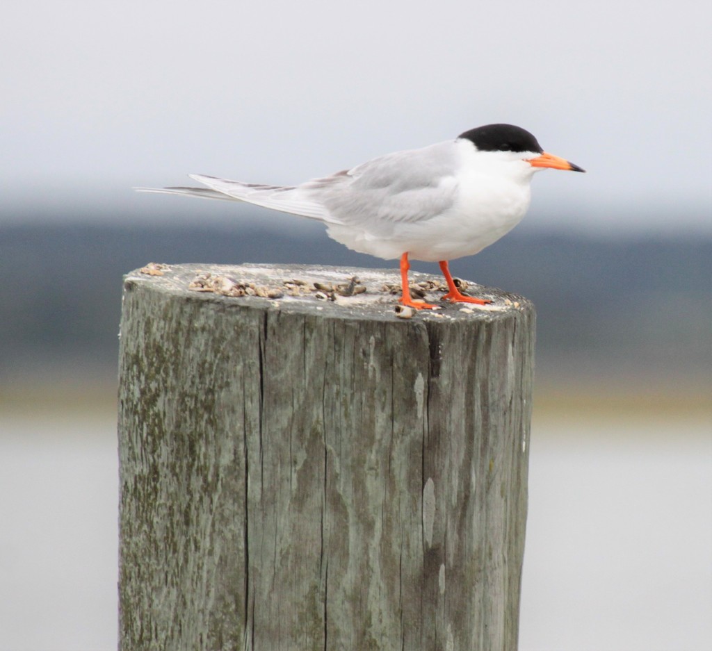
- Forster's TernSterna forsteri
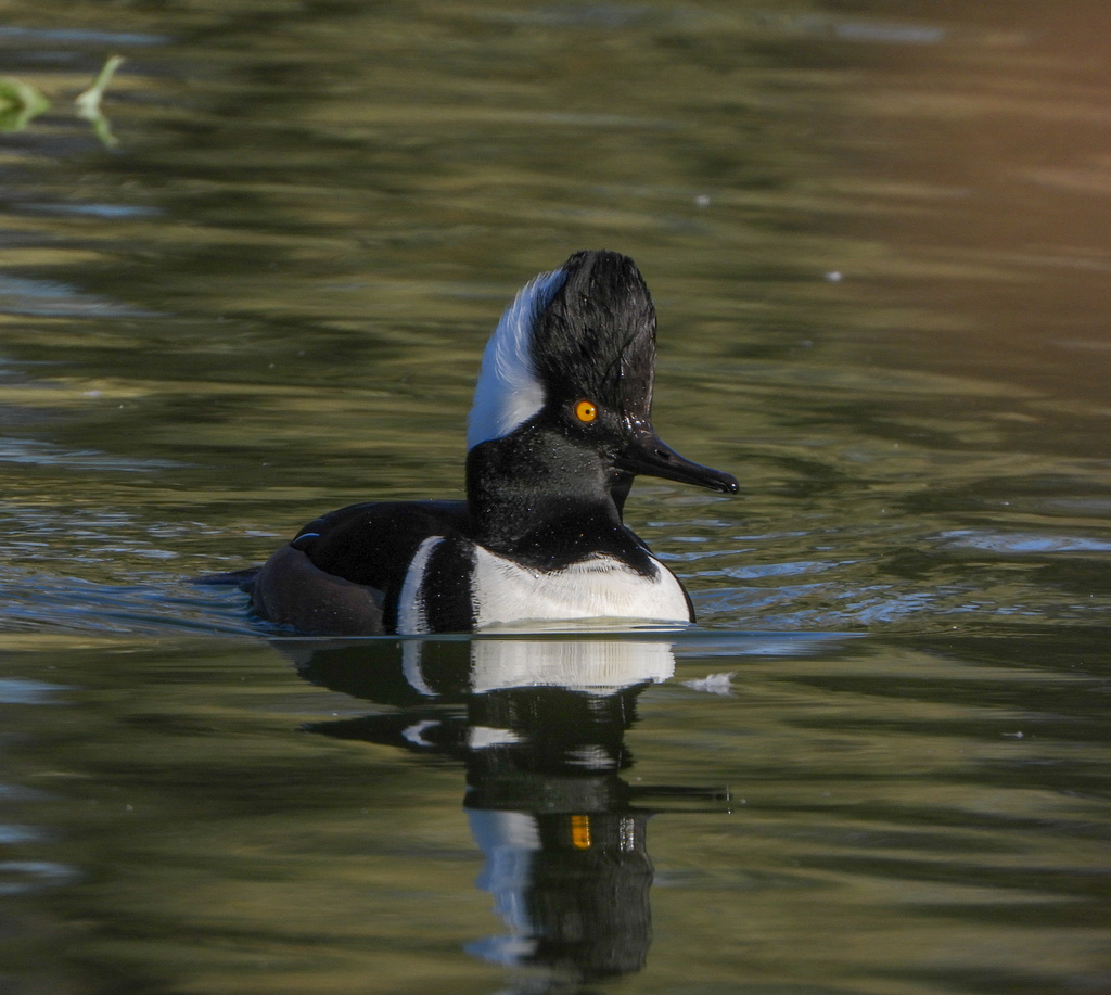
- Hooded MerganserLophodytes cucullatus
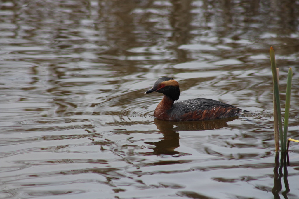
- Horned GrebePodiceps auritus
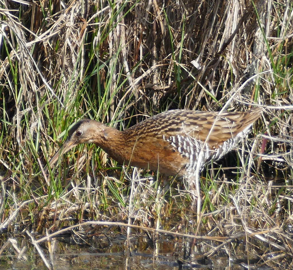
- King RailRallus elegans
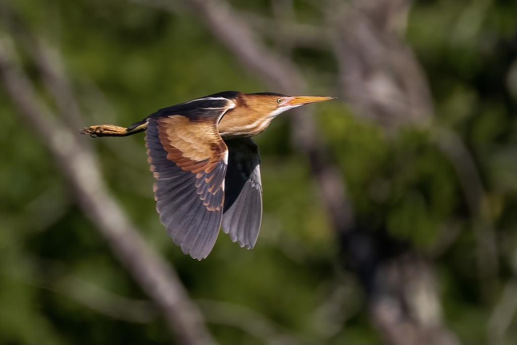
- Least BitternIxobrychus exilis
- Lesser Black-backed GullLarus fuscus
- Long-billed CurlewNumenius americanus
- Northern Rough-winged SwallowStelgidopteryx serripennis
- OspreyPandion haliaetus
- Semipalmated PloverCharadrius semipalmatus
- Virginia RailRallus limicola
- Yellow-rumped WarblerDendroica coronata
- American AvocetRecurvirostra americana
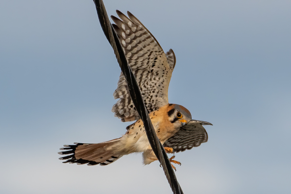
- American KestrelFalco sparverius
- American RobinTurdus migratorius
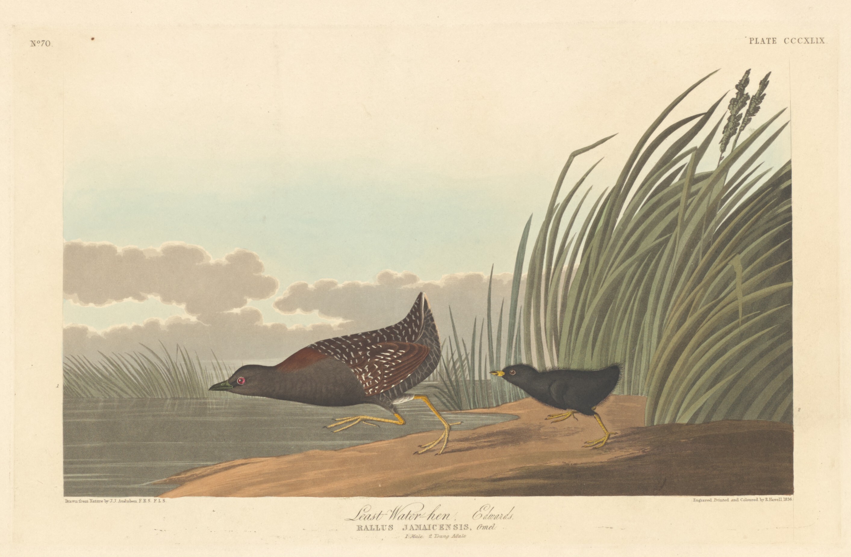
- Black RailLaterallus jamaicensis
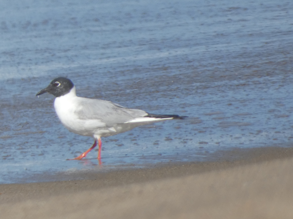
- Bonaparte's GullChroicocephalus philadelphia
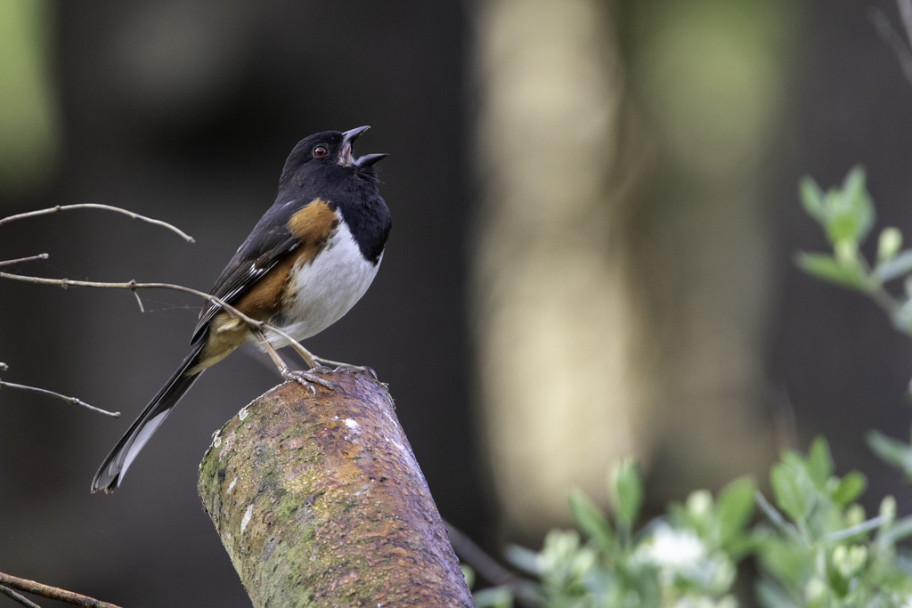
- Eastern TowheePipilo erythrophthalmus
- GadwallAnas strepera
- Lesser ScaupAythya affinis
- LimpkinAramus guarauna
- Marsh WrenCistothorus palustris
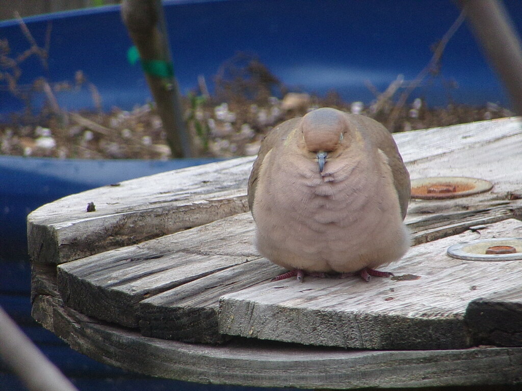
- Mourning DoveZenaida macroura
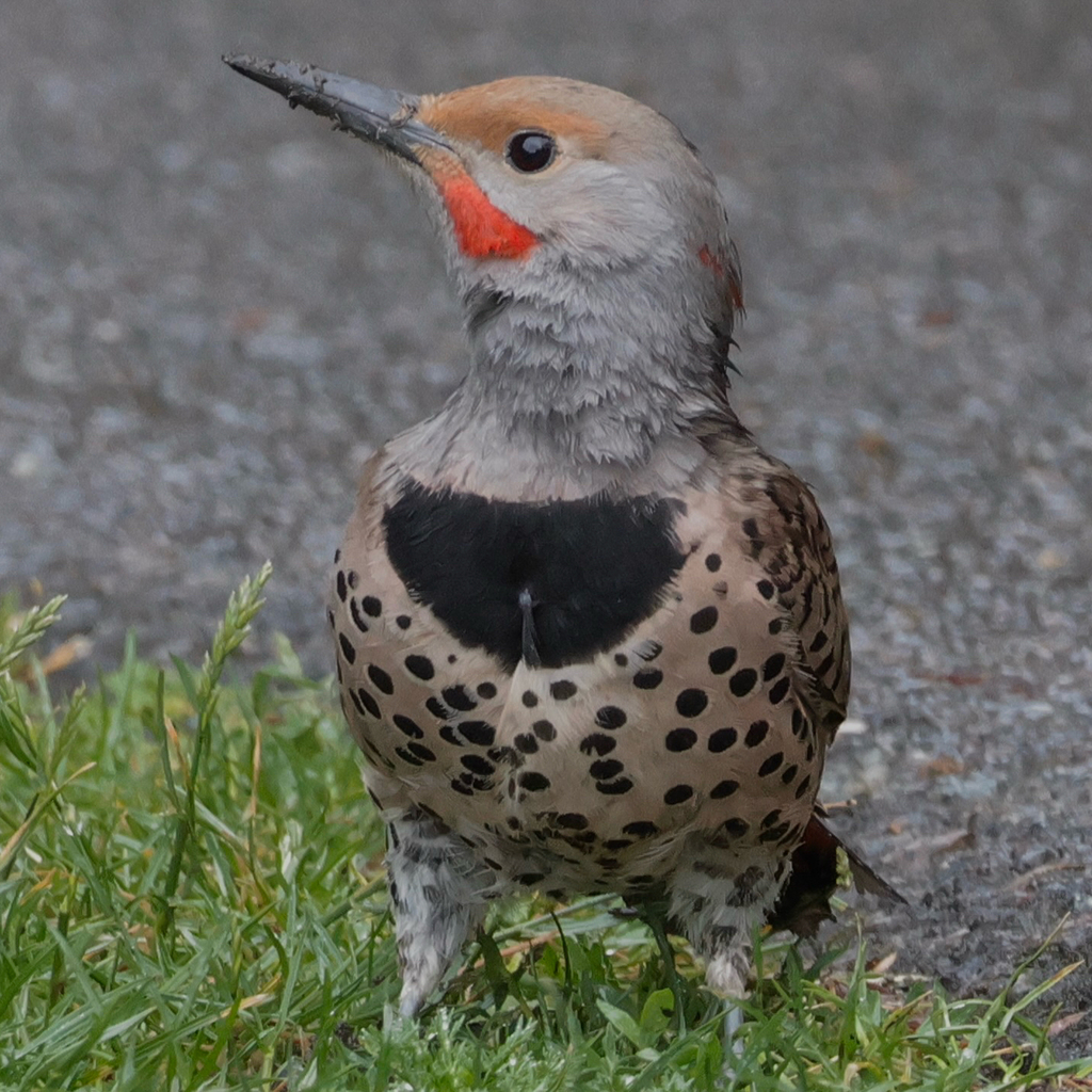
- Northern FlickerColaptes auratus
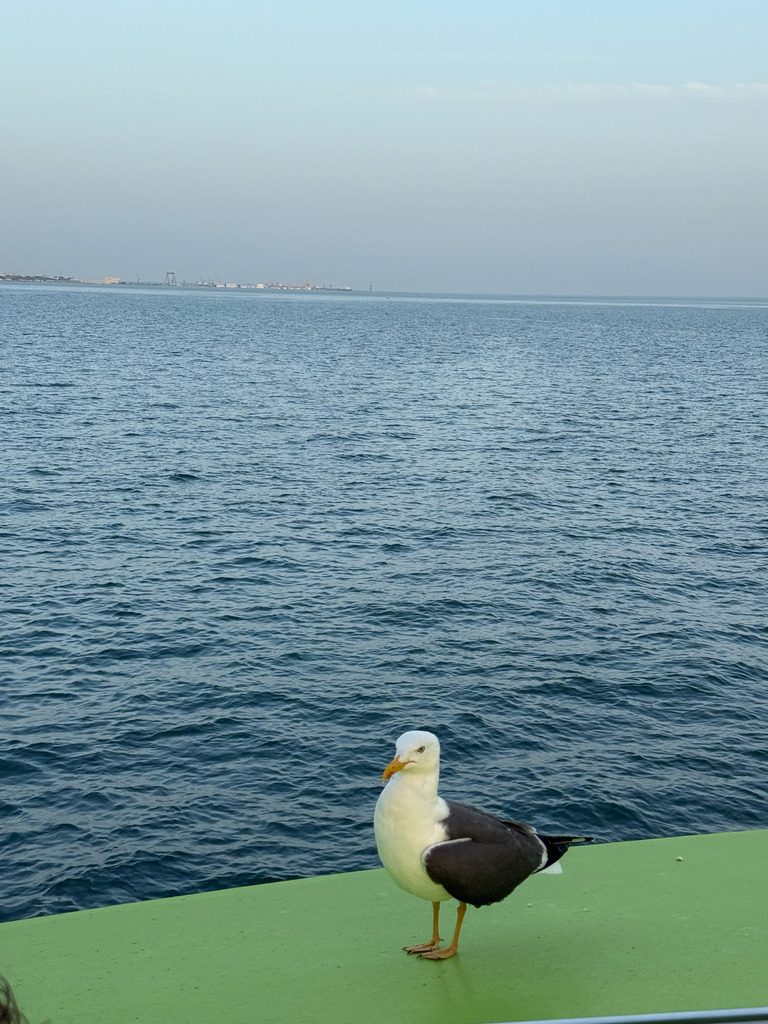
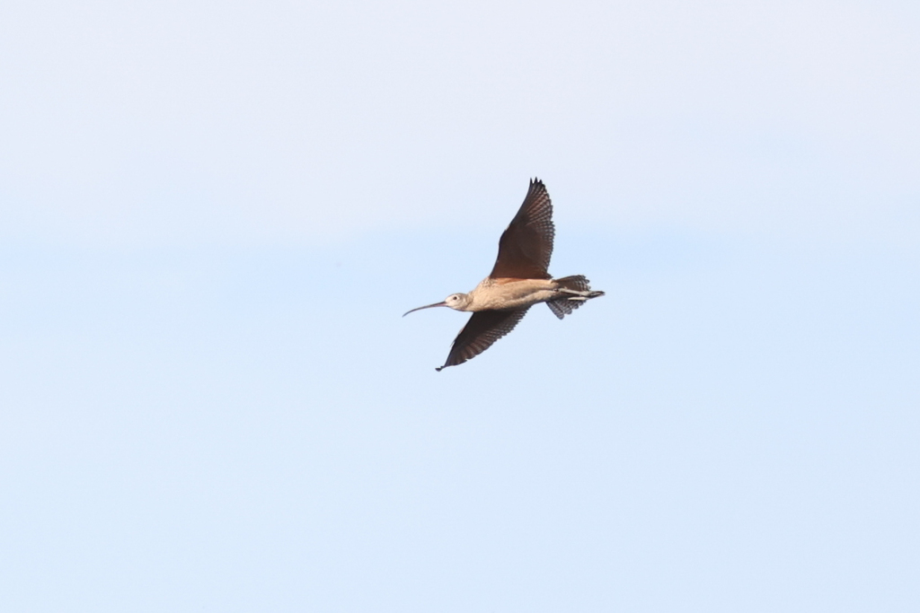
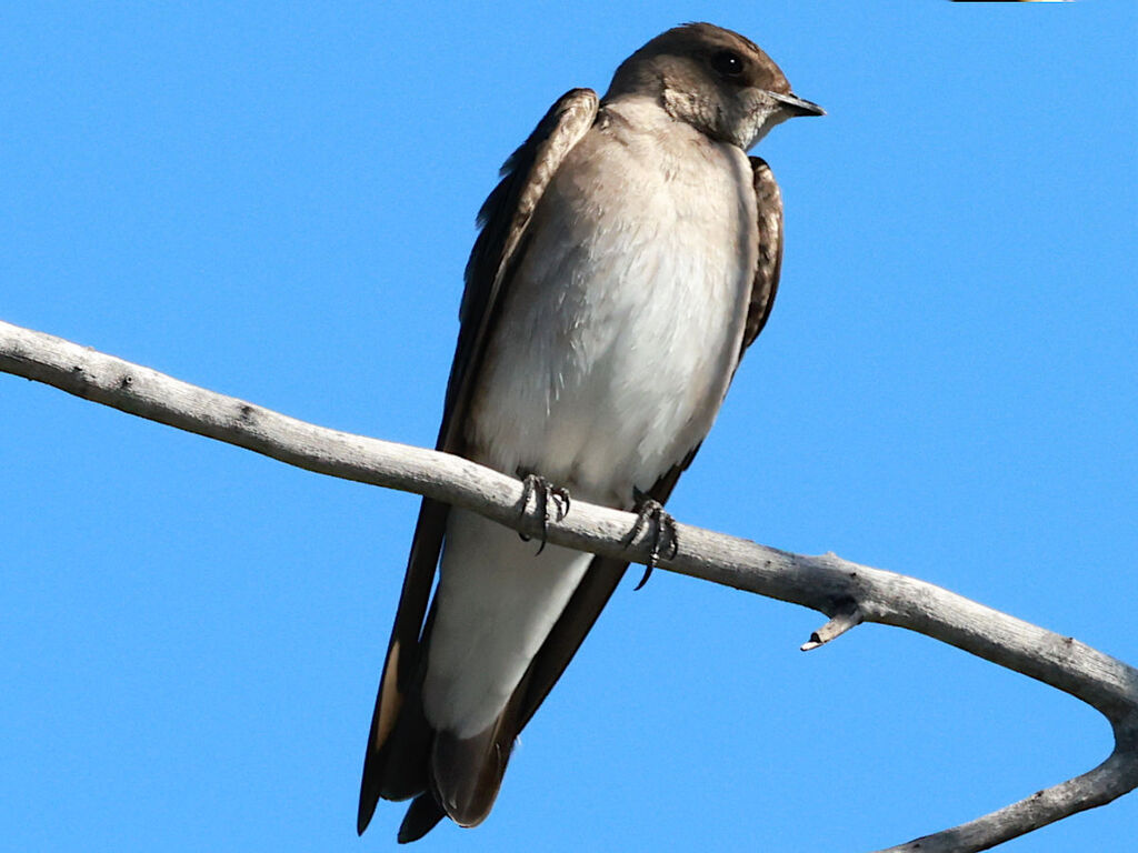
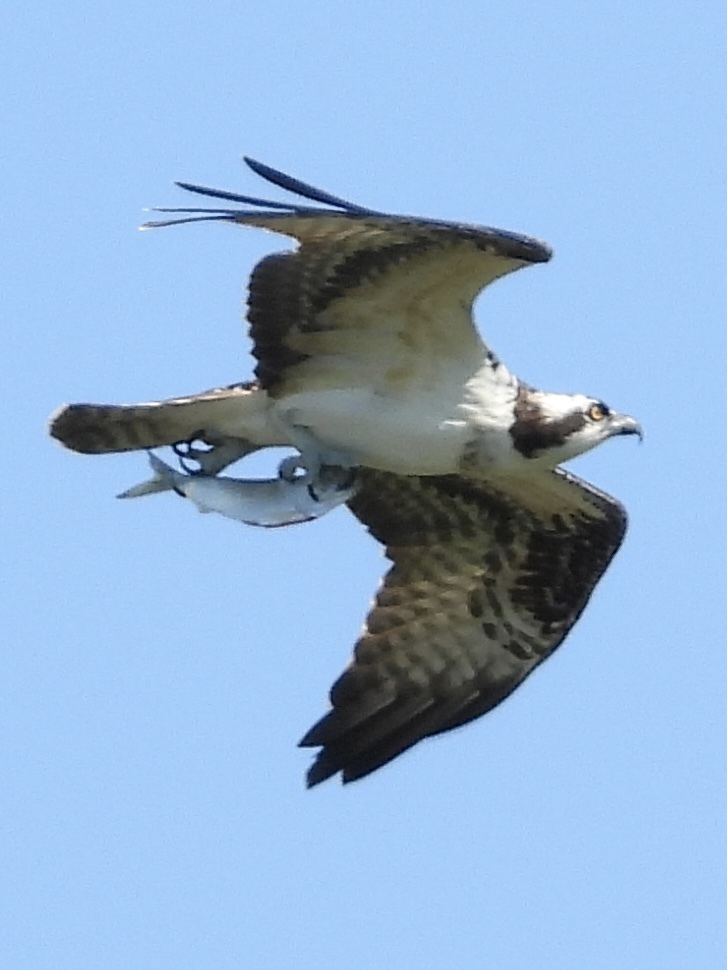
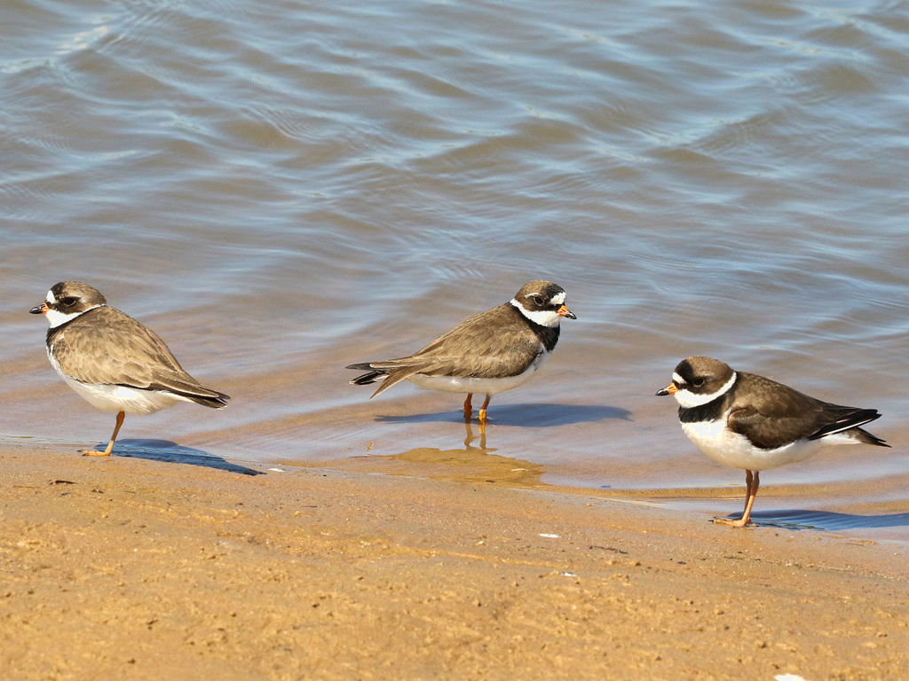
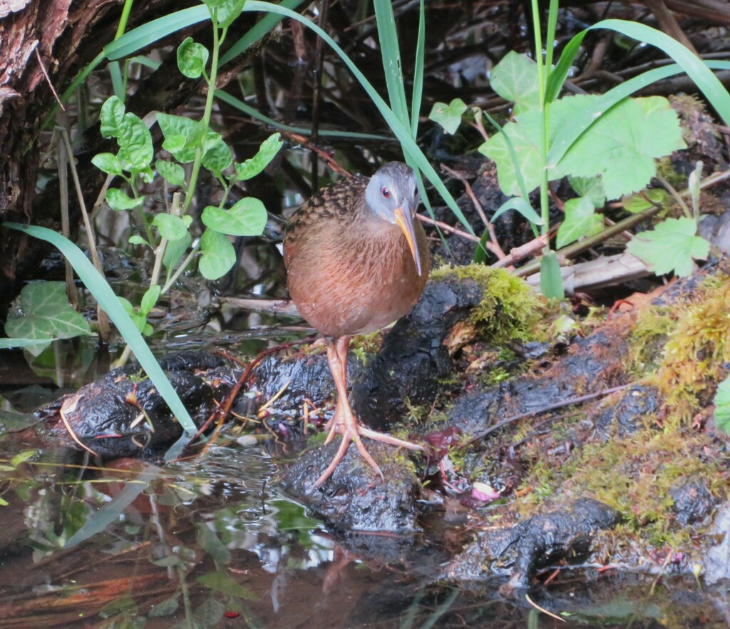
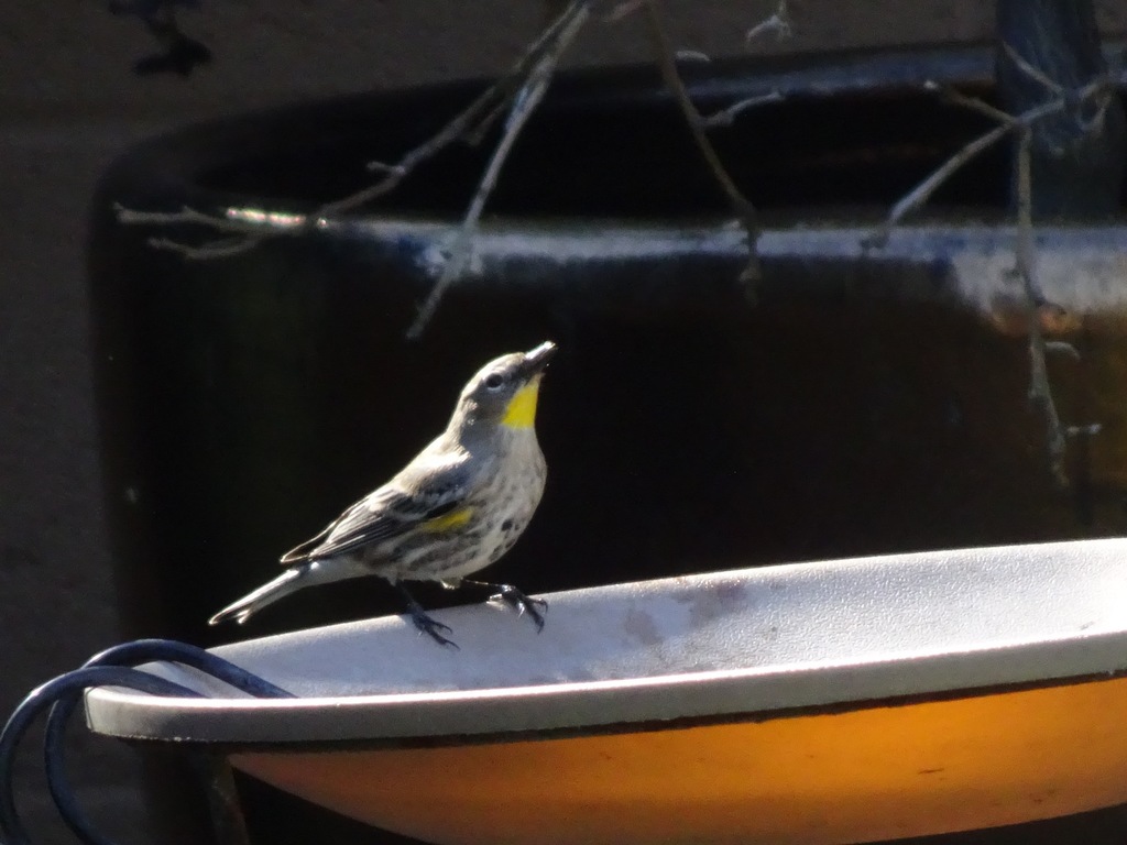
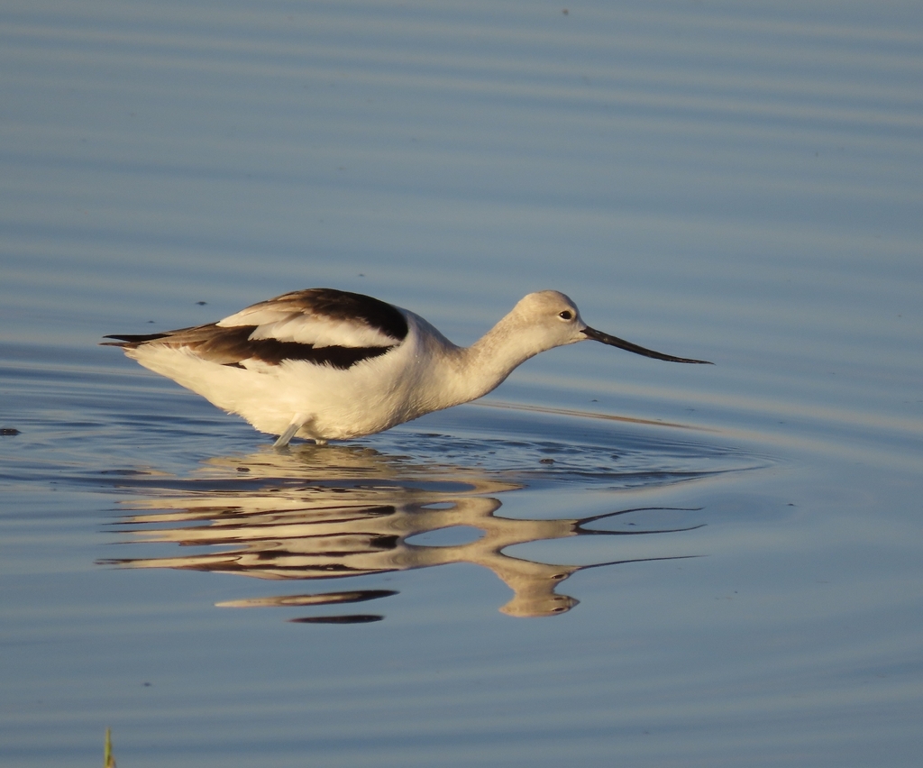

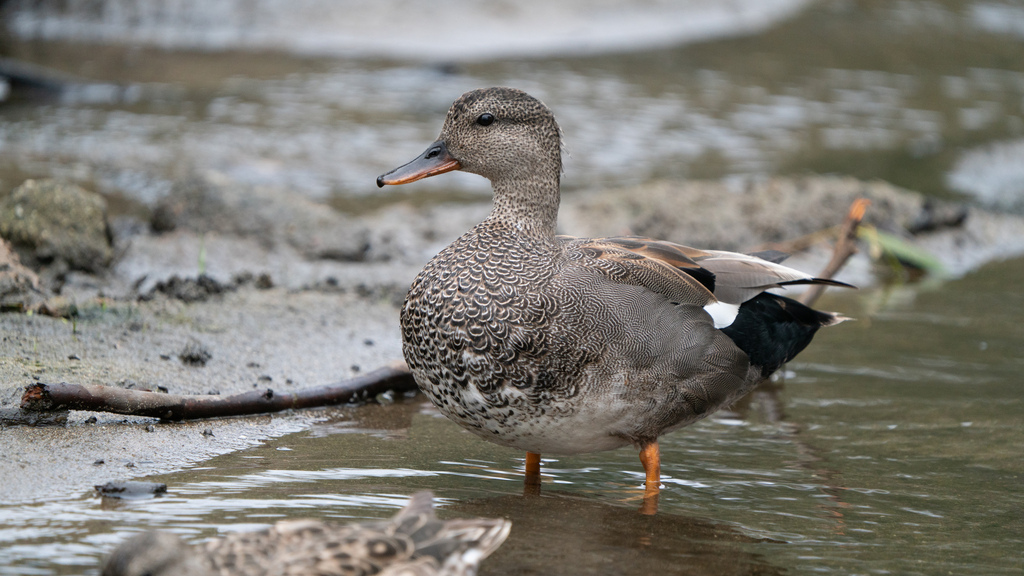
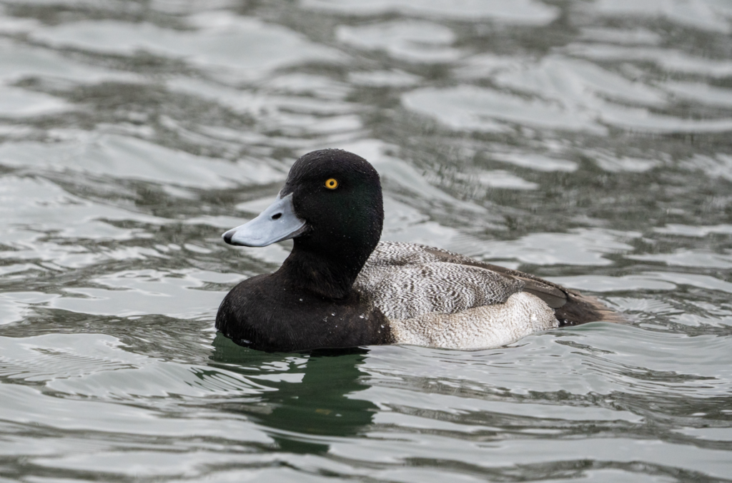
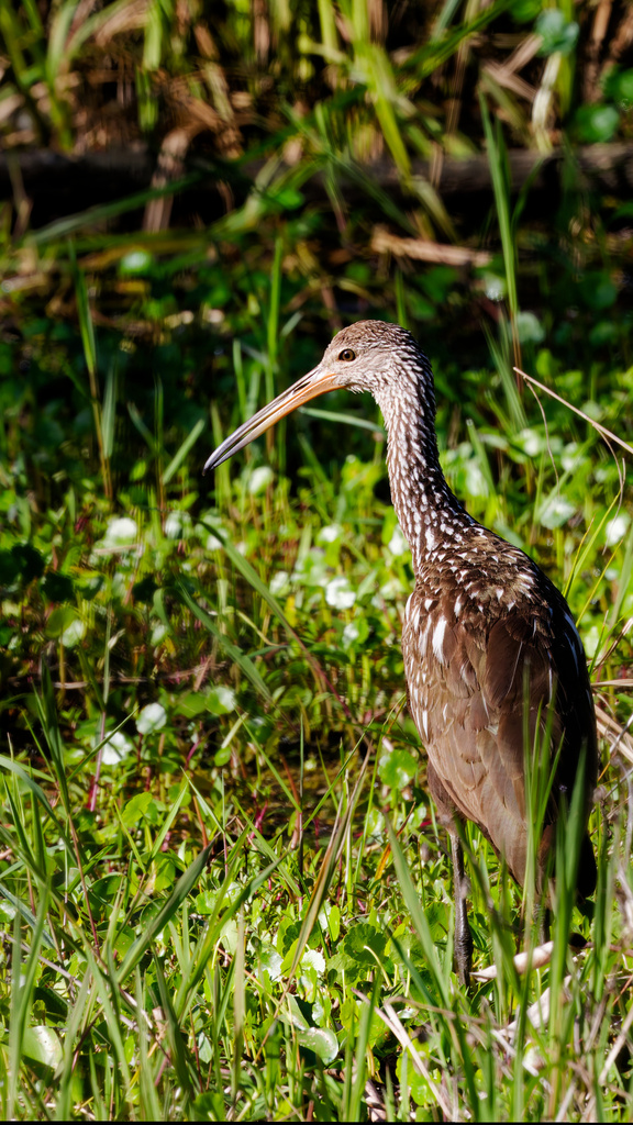
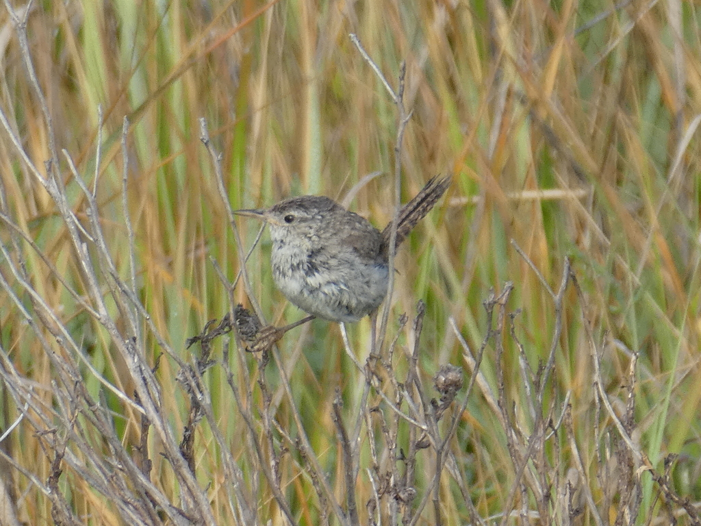
NatureServe Explorer, CC BY 4.0. USGS Gap Analysis Project habitat models.
Sources
- USGS Gap Analysis Project habitat models (2001)
- USGS GAP summer habitat model for Bank Swallow Elevation up to 2,439 m
- USGS Gap Analysis Project range maps (2001), modeled by watershed; migratory gives no dates
- NatureServe Explorer (CC BY 4.0), habitat names
- US Census TIGER/Line counties
- Names follow the USGS Gap Analysis Project (2001)