

Bird
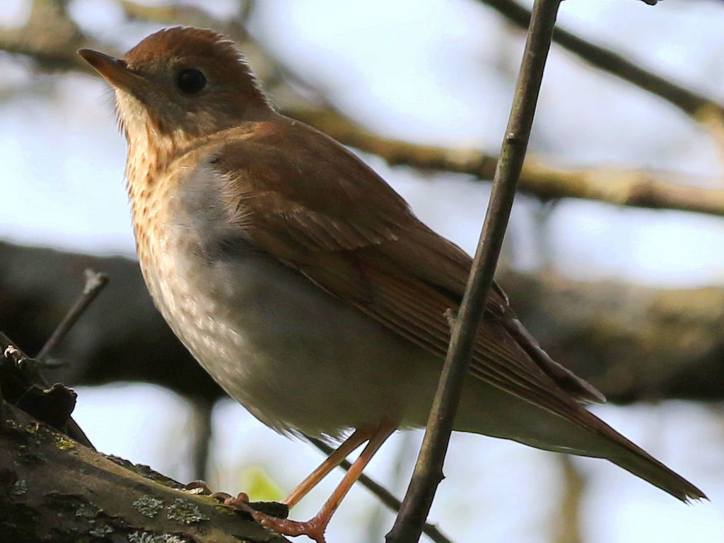
Veery
Catharus fuscescens
Passes through Arkansas on migration. Found in all 75 counties, across 4 habitats.
- Here
- On migration
- Nesting
- Not known to nest here
- Range
- All 75 counties
- Habitats
- 4
At a glance
- Group
- Birds
- Here
- On migration
- Nesting
- Not known to nest here
- Range
- All 75 counties
- Habitats
- 4
- Habitat models
- Summer
Where it lives
The places its habitat model includes. It is not found everywhere a habitat occurs.
Habitats in Arkansas 4
Each habitat page lists the plants and wildlife also found there.
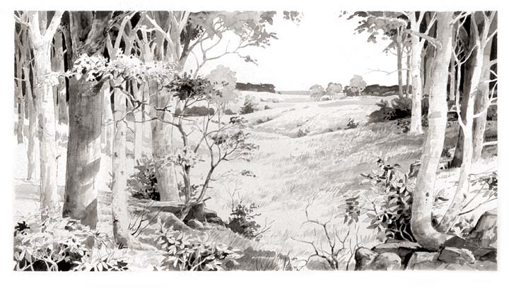
Floodplain and bottomland forests
Forests on low ground beside rivers and streams that flood from time to time.
Streams, rivers and their banks
Flowing water and its banks, bars and rocky shoals.
Forested wetlands with standing water much of the year, such as cypress and gum swamps.
Other habitats in its models (37)
Land cover, or classes with no habitat page in Arkansas.
- Central and Southern Appalachian Northern Hardwood Forest Summer, only within 250 m of water.
- Northeastern Interior Dry Oak Forest-Hardwood Modifier Summer, only within 250 m of water.
- Northeastern Interior Dry Oak Forest - Mixed Modifier Summer, only within 250 m of water.
- Northeastern Interior Dry-Mesic Oak Forest Summer, only within 250 m of water.
- Southern Interior Low Plateau Dry-Mesic Oak Forest Summer, only within 250 m of water.
- North-Central Interior Dry-Mesic Oak Forest and Woodland Summer, only within 250 m of water.
- North-Central Interior Beech-Maple Forest Summer, only within 250 m of water.
- North-Central Interior Maple-Basswood Forest Summer, only within 250 m of water.
- Southern and Central Appalachian Oak Forest Summer, only within 250 m of water.
- Allegheny-Cumberland Dry Oak Forest and Woodland - Hardwood Summer, only within 250 m of water.
- Central and Southern Appalachian Montane Oak Forest Summer, only within 250 m of water.
- Southern Piedmont Mesic Forest Summer, only within 250 m of water.
- Northeastern Interior Dry Oak Forest - Virginia/Pitch Pine Modifier Summer, only within 250 m of water.
- Allegheny-Cumberland Dry Oak Forest and Woodland - Pine Modifier Summer, only within 250 m of water.
- Southern Ridge and Valley Dry Calcareous Forest - Pine modifier Summer, only within 250 m of water.
- Northern Atlantic Coastal Plain Dry Hardwood Forest Summer, only within 250 m of water.
- Central Appalachian Oak and Pine Forest Summer, only within 250 m of water.
- Appalachian Hemlock-Hardwood Forest Summer, only within 250 m of water.
- Acadian Low-Elevation Spruce-Fir-Hardwood Forest Summer, only within 250 m of water.
- Southern and Central Appalachian Cove Forest Summer, only within 250 m of water.
- South-Central Interior Mesophytic Forest Summer, only within 250 m of water.
- Southern Appalachian Montane Pine Forest and Woodland Summer, only within 250 m of water.
- Southern Appalachian Low Mountain Pine Forest Summer, only within 250 m of water.
- Central and Southern Appalachian Spruce-Fir Forest Summer, only within 250 m of water.
- Southern Appalachian Grass and Shrub Bald - Shrub Modifier Summer, only within 250 m of water.
- Central Interior and Appalachian Shrub-Herbaceous Wetland Systems Summer.
- Northern Atlantic Coastal Plain Basin Swamp and Wet Hardwood Forest Summer.
- Southern and Central Appalachian Bog and Fen Summer.
- Western Great Plains Depressional Wetland Systems Summer.
- Southern Piedmont/Ridge and Valley Upland Depression Swamp Summer.
- Central Appalachian Floodplain - Forest Modifier Summer.
- Central Appalachian Riparian - Forest Modifier Summer.
- Southern Piedmont Large Floodplain Forest - Forest Modifier Summer.
- South-Central Interior Large Floodplain - Herbaceous Modifier Summer.
- Cumberland Riverscour Summer.
- Southern Piedmont Small Floodplain and Riparian Forest Summer.
- North-Central Interior Wet Flatwoods Summer.
Seasons in Arkansas
- Migratory: does not nest here, in all 75 counties.
Also found in this habitat
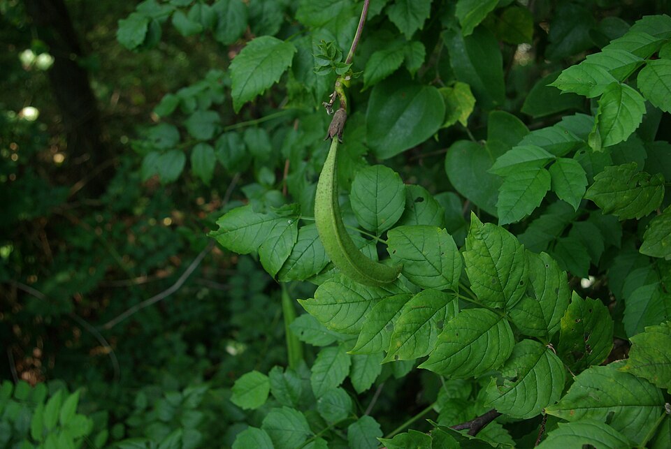
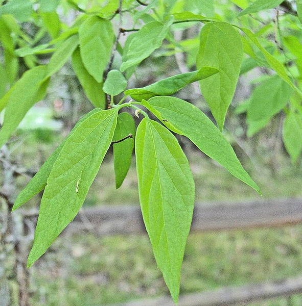
Plants 322
Plants named in NatureServe descriptions of these habitats that grow in Arkansas. Shared habitat, not food.
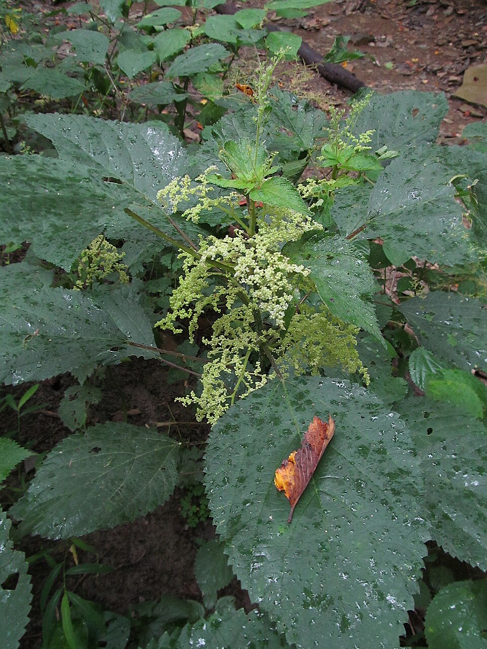
- False NettleBoehmeria cylindrica
- Trumpet-creeperCampsis radicans
- SugarberryCeltis laevigata
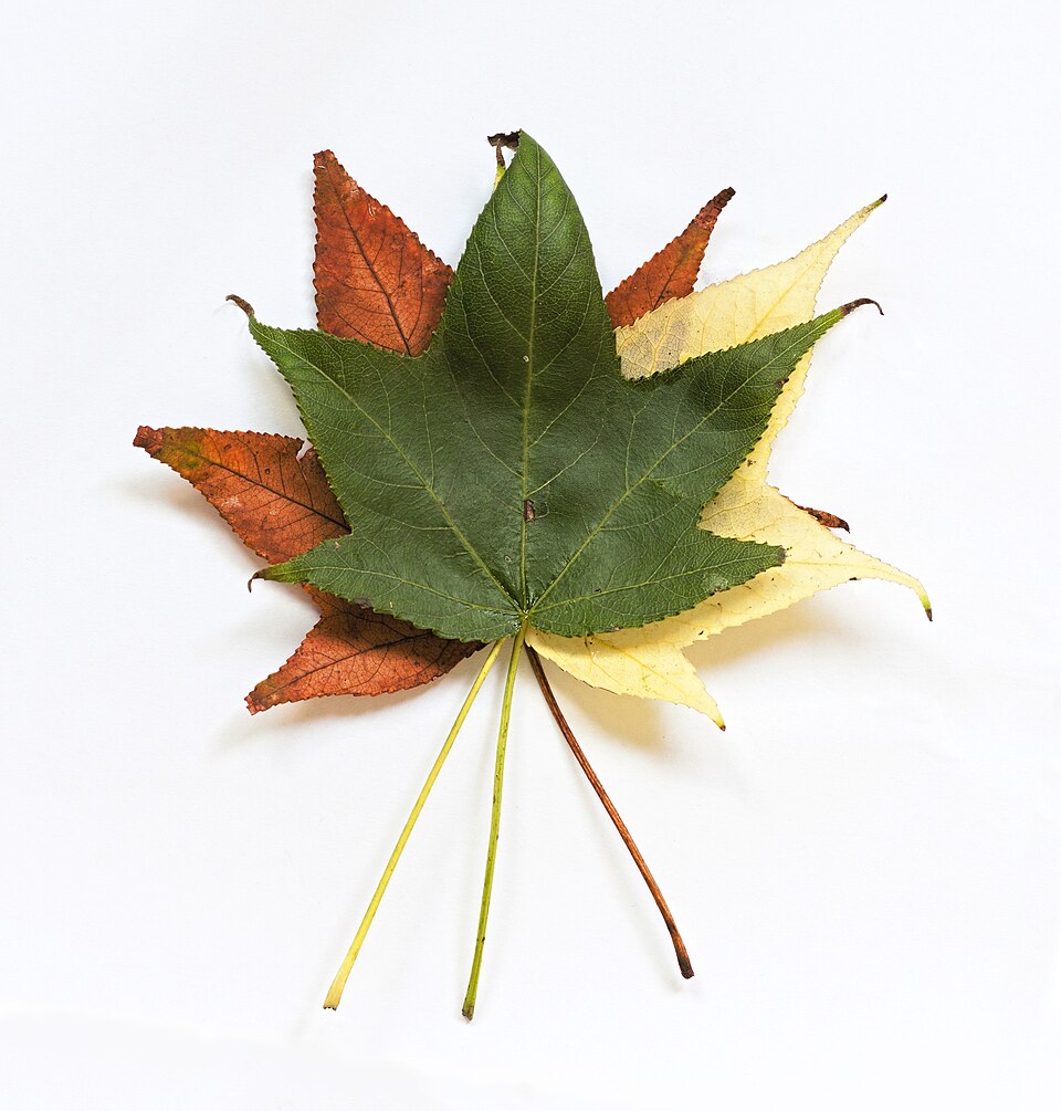
- SweetgumLiquidambar styraciflua
- Canadian ClearweedPilea pumila
- Common GreenbrierSmilax rotundifolia
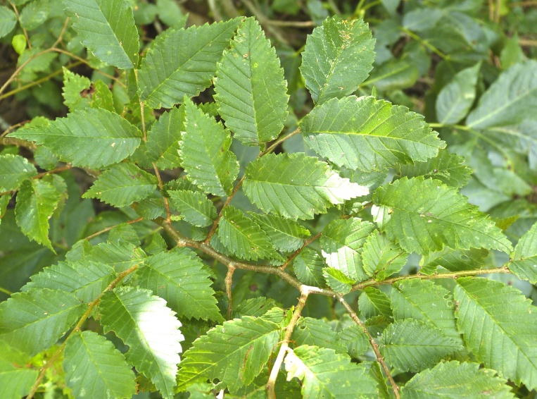
- American ElmUlmus americana
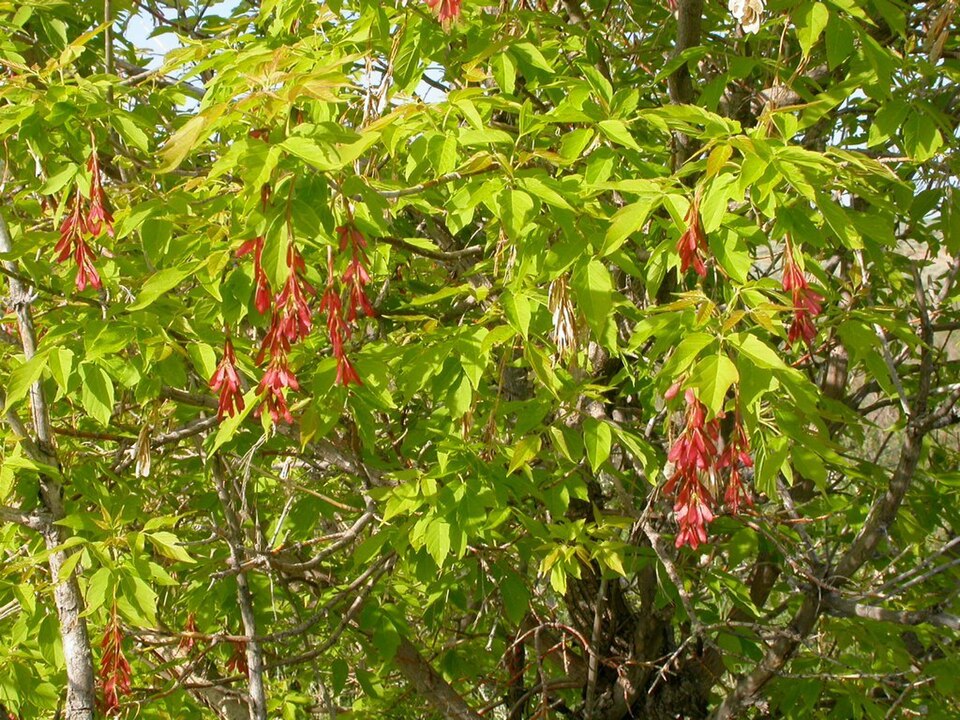
- Box-elderAcer negundo
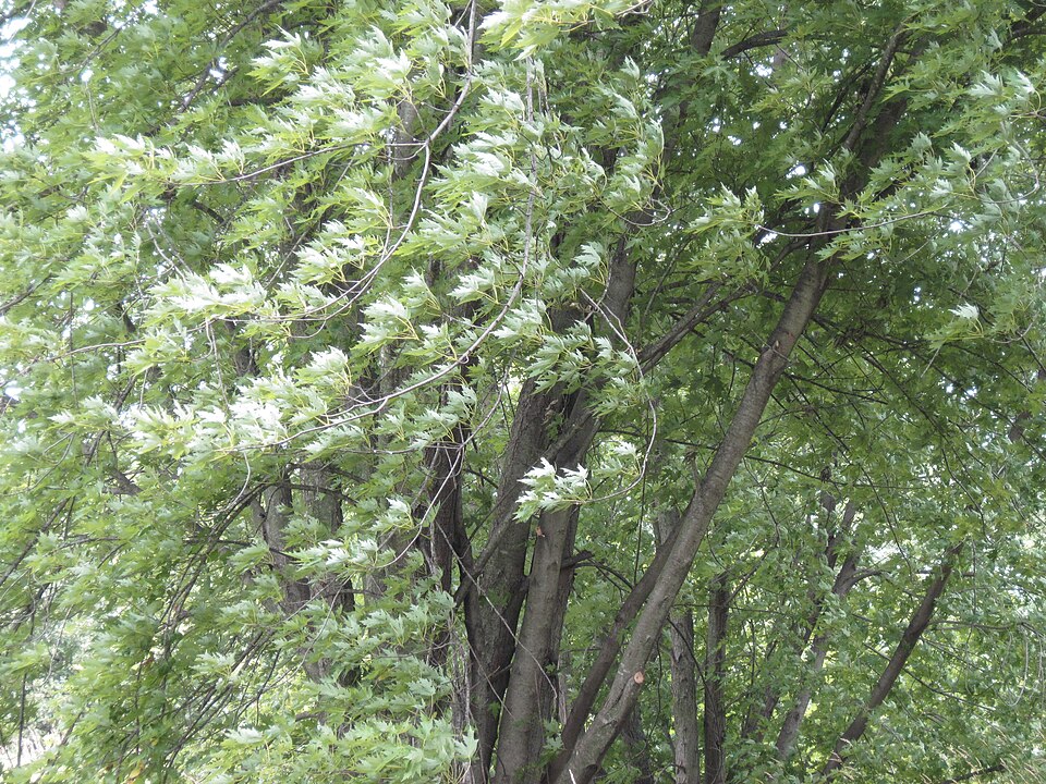
- Silver MapleAcer saccharinum
- Giant CaneArundinaria gigantea
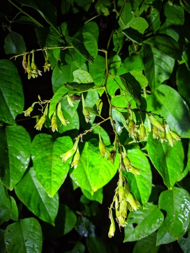
- Buckwheat VineBrunnichia ovata
- Water HickoryCarya aquatica
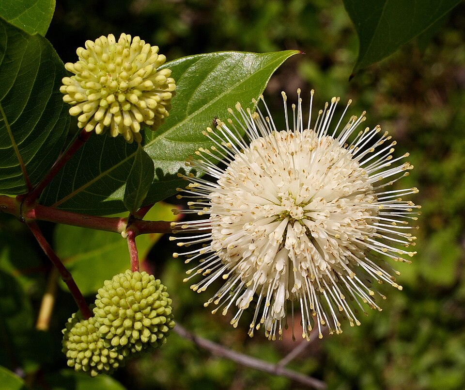
- ButtonbushCephalanthus occidentalis
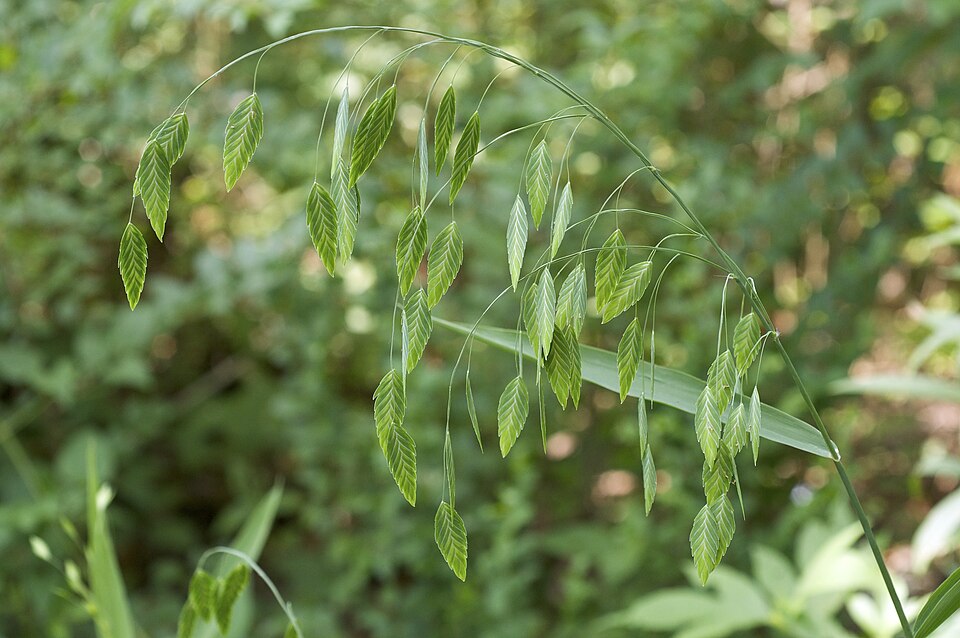
- River OatsChasmanthium latifolium
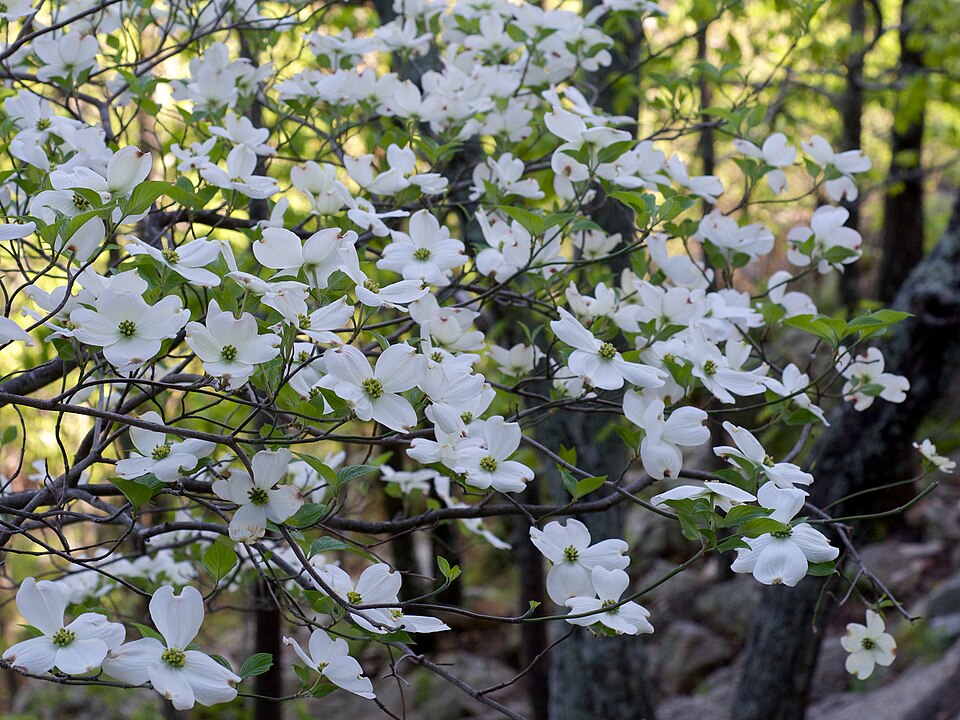
- Flowering DogwoodCornus florida
- Green HawthornCrataegus viridis
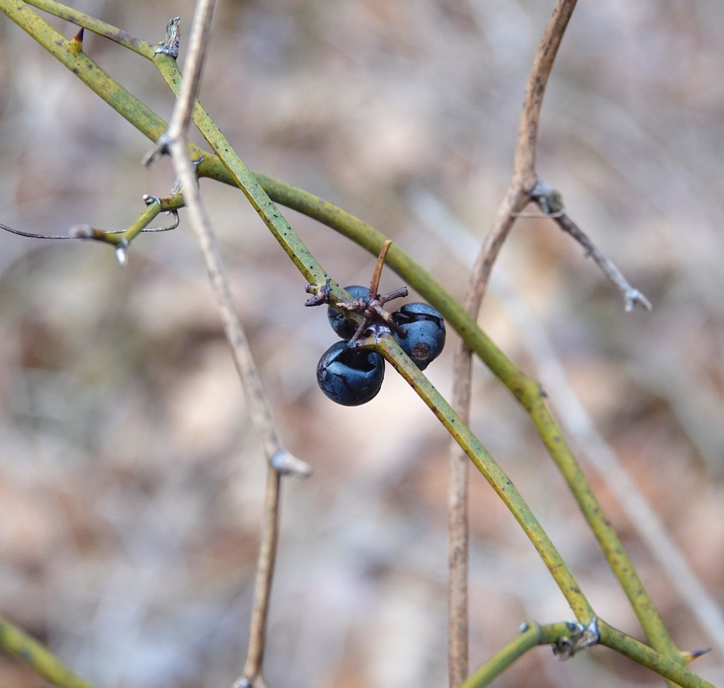
- Eastern Swamp PrivetForestiera acuminata
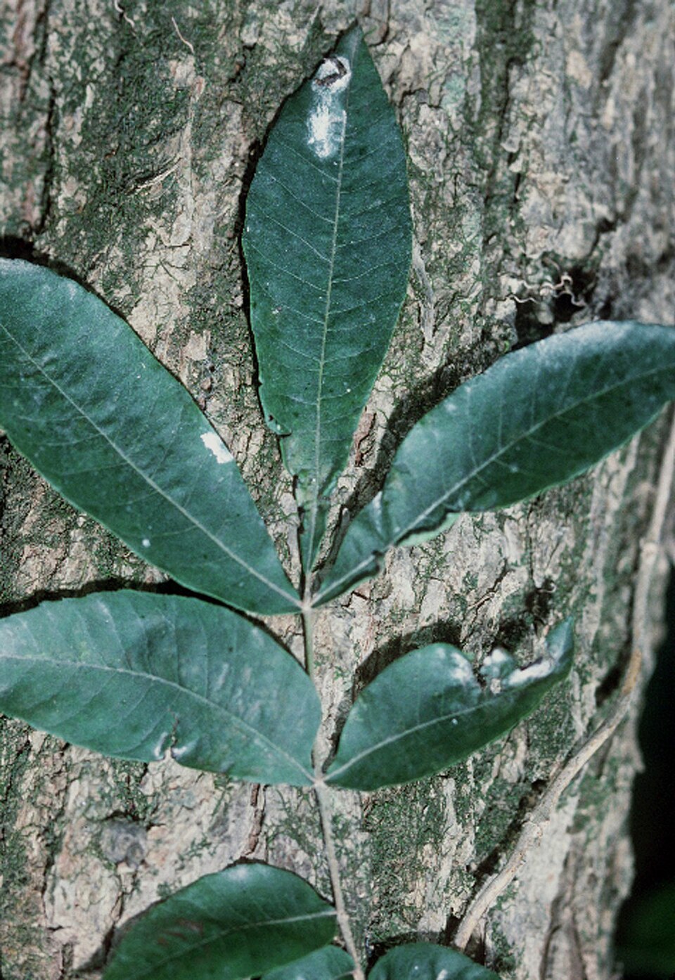
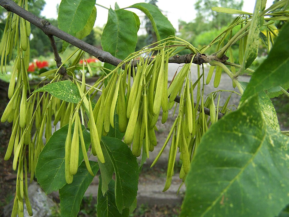
- Green AshFraxinus pennsylvanica
- Possumhaw HollyIlex decidua
- Canada Wood-nettleLaportea canadensis
- Rice CutgrassLeersia oryzoides
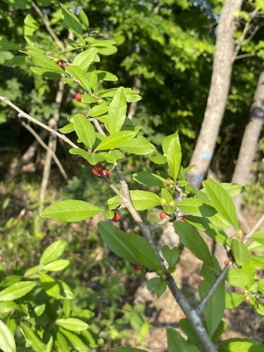
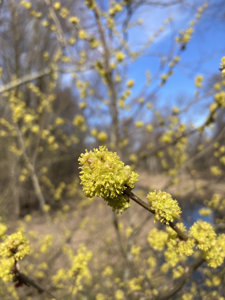
- Northern SpicebushLindera benzoin
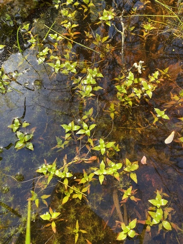
- Marsh SeedboxLudwigia palustris
- Virginia BluebellsMertensia virginica
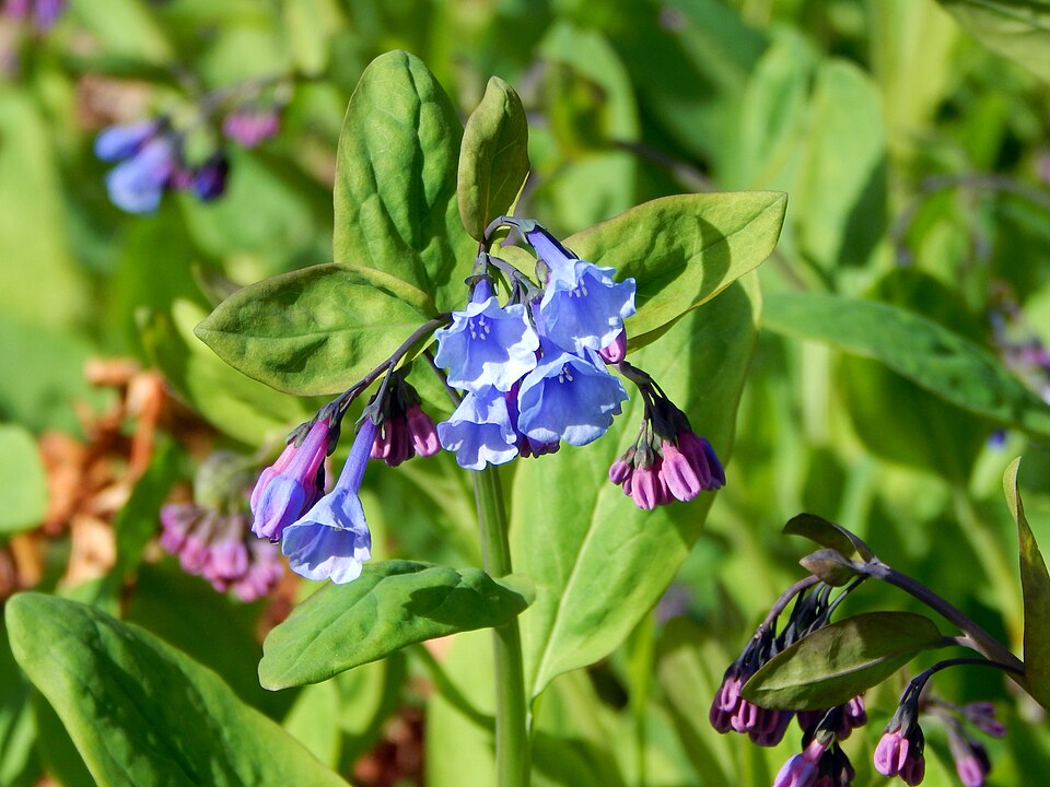
Wildlife 186
Other animals whose habitat models include the same habitats in Arkansas. Not sighting records.
- Eastern KingbirdTyrannus tyrannus
- Eastern Screech-owlMegascops asio
- Eastern TowheePipilo erythrophthalmus
- Eurasian Collared-doveStreptopelia decaocto
- European StarlingSturnus vulgaris
- Fox SparrowPasserella iliaca
- Gray CatbirdDumetella carolinensis
- Great Crested FlycatcherMyiarchus crinitus
- Great Horned OwlBubo virginianus
- Hooded WarblerWilsonia citrina
- Indigo BuntingPasserina cyanea
- Least FlycatcherEmpidonax minimus
- Magnolia WarblerDendroica magnolia
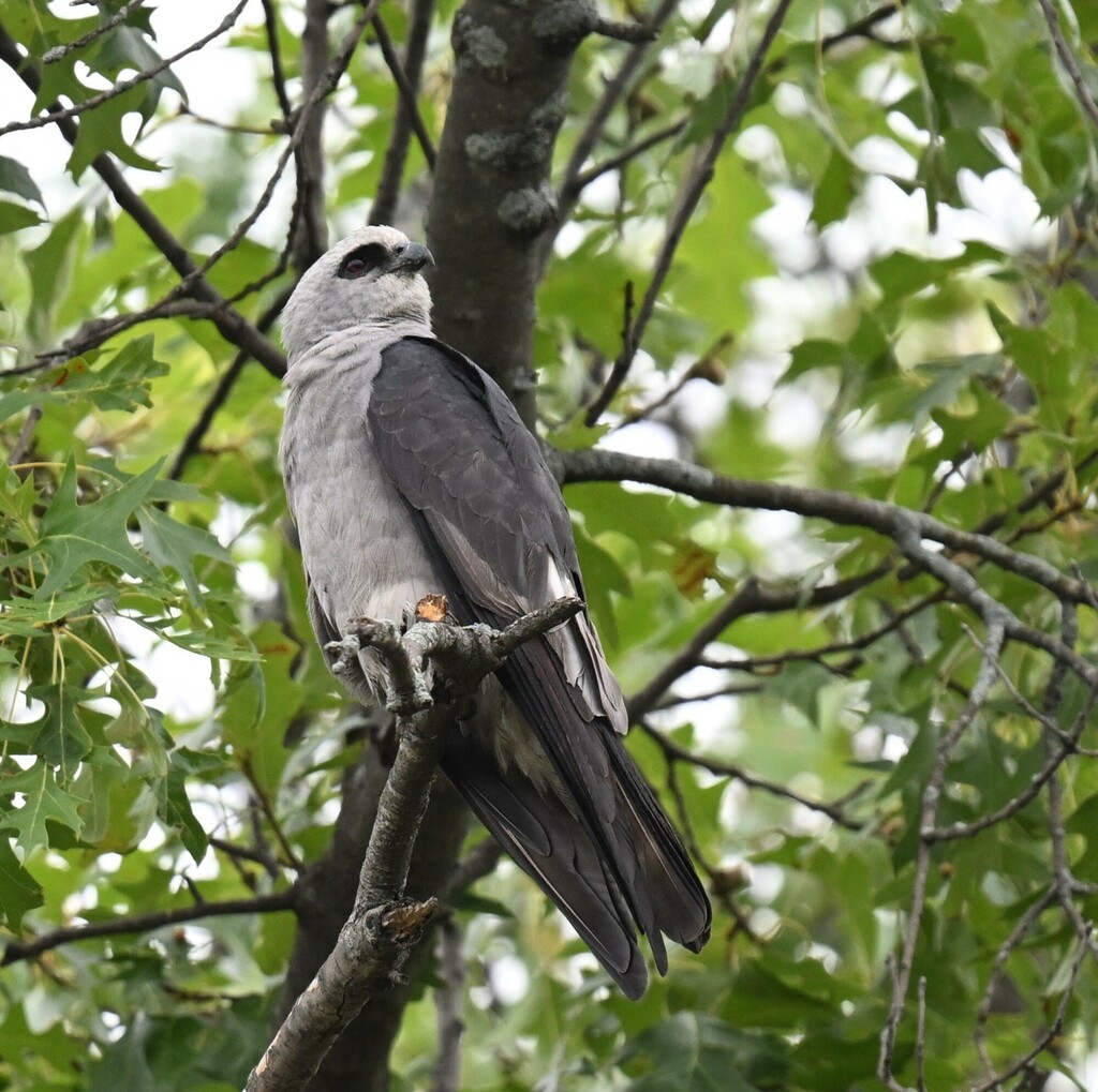
- Mississippi KiteIctinia mississippiensis
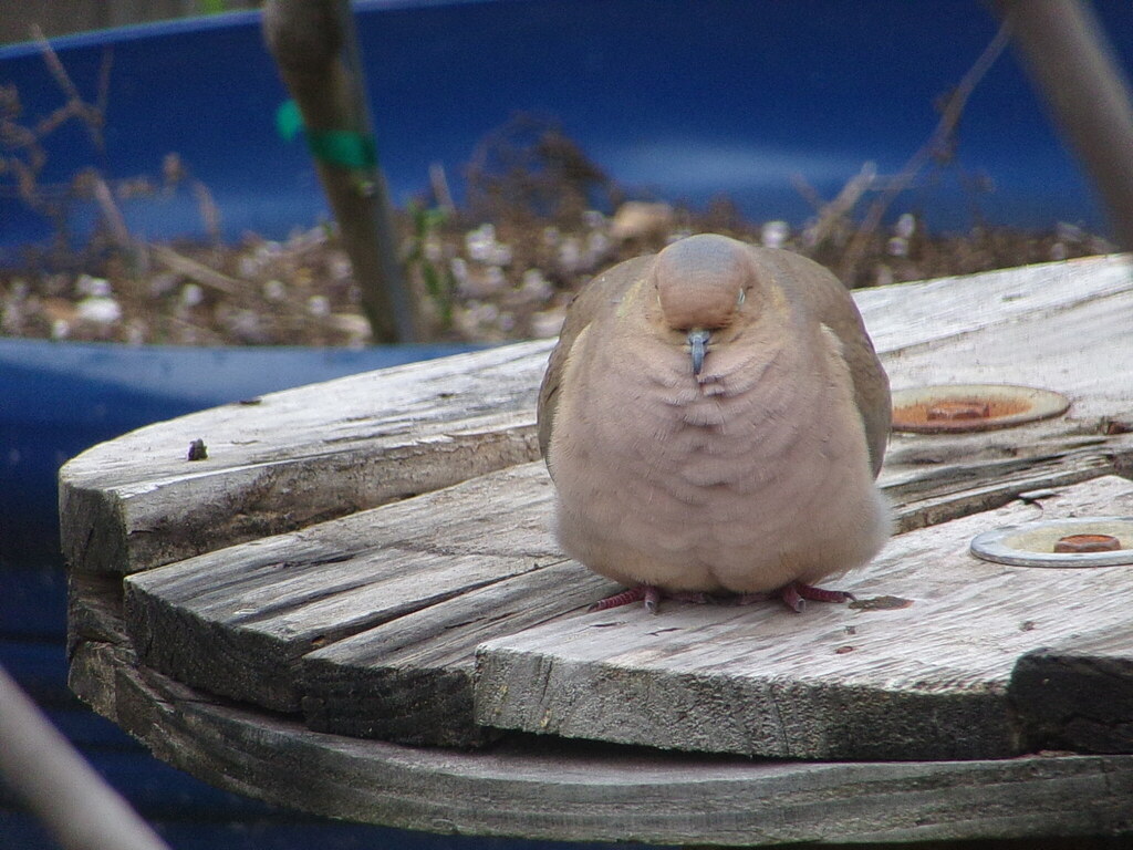
- Mourning DoveZenaida macroura
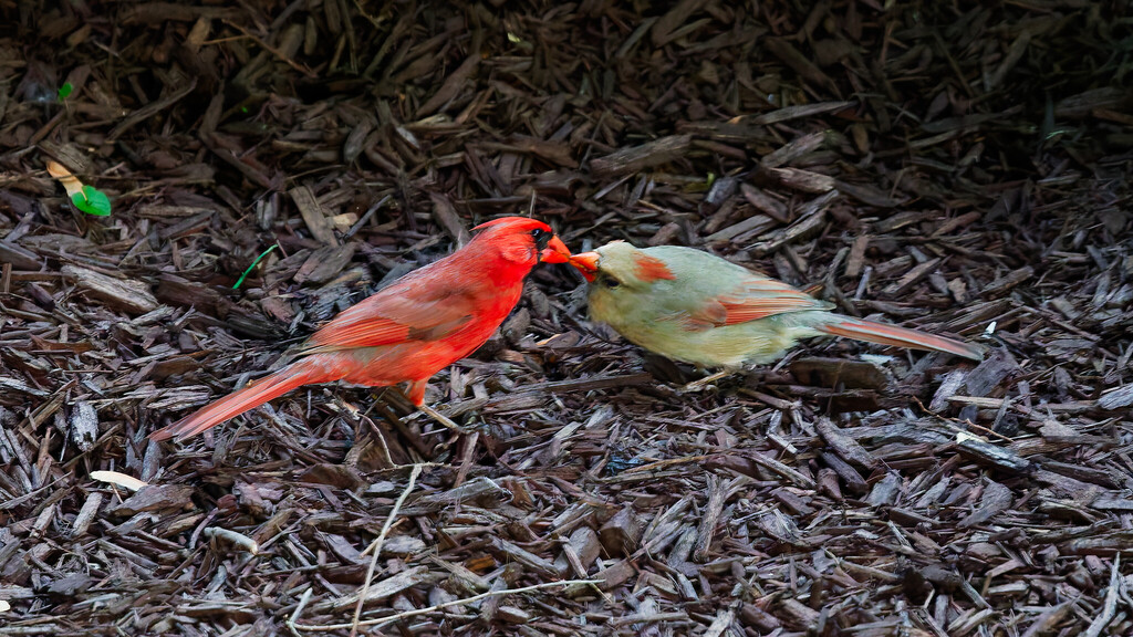
- Northern CardinalCardinalis cardinalis
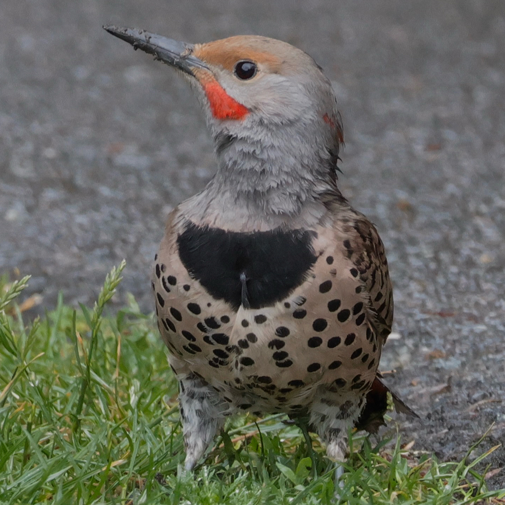
- Northern FlickerColaptes auratus
- Northern MockingbirdMimus polyglottos
- Northern ParulaParula americana
- Orchard OrioleIcterus spurius
- Pine SiskinCarduelis pinus
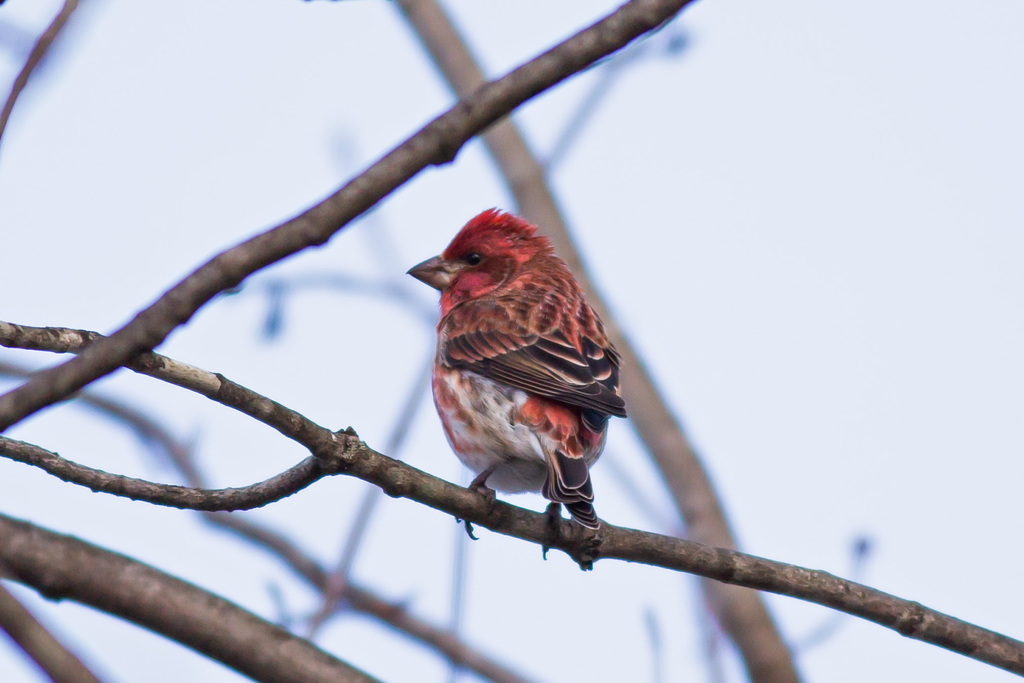
- Purple FinchCarpodacus purpureus
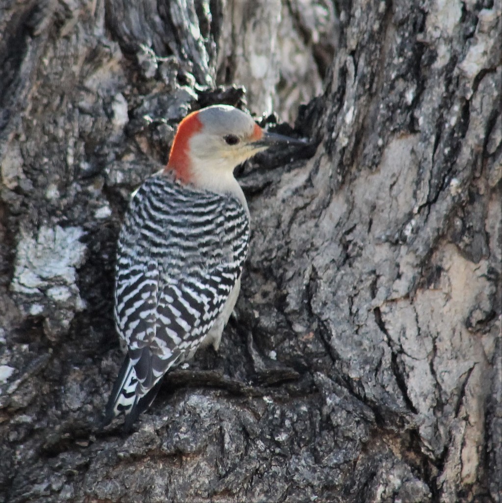
- Red-bellied WoodpeckerMelanerpes carolinus
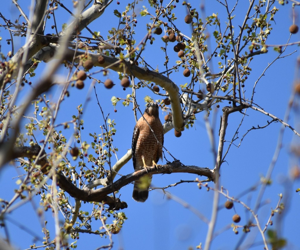
- Red-shouldered HawkButeo lineatus

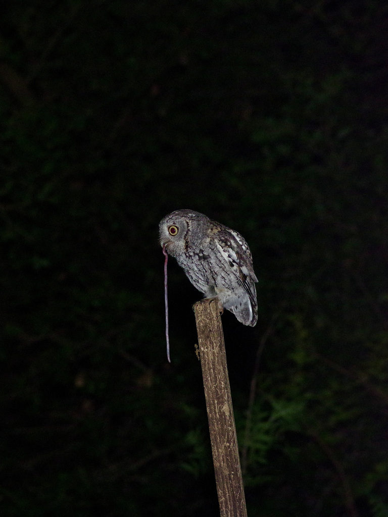
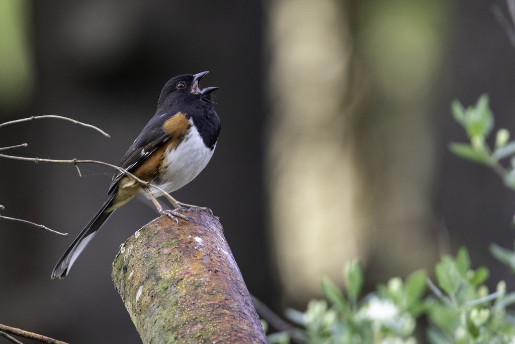
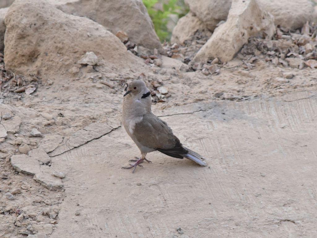
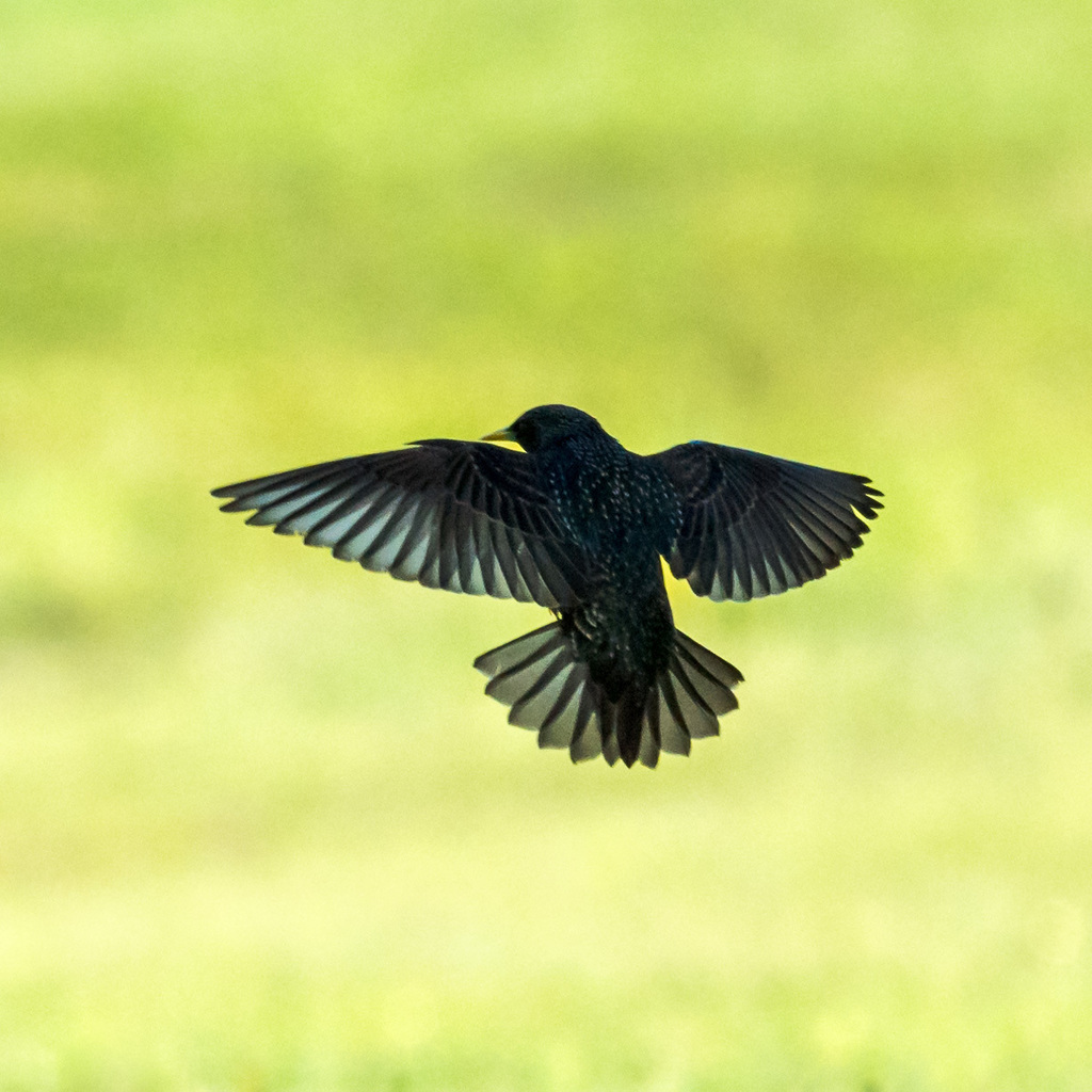
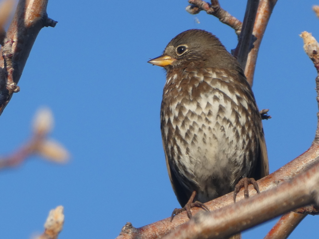
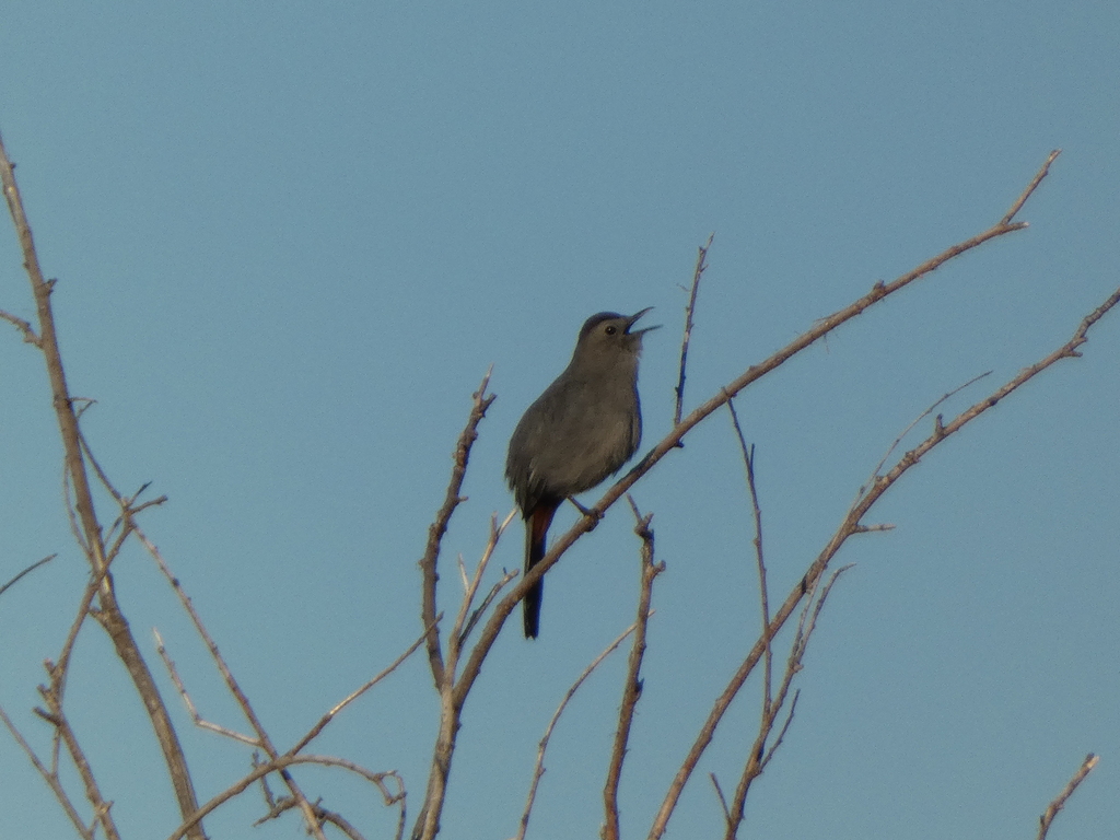
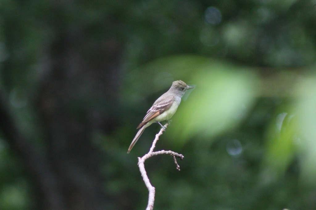

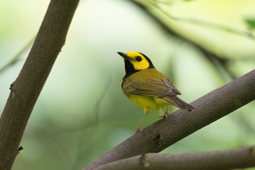
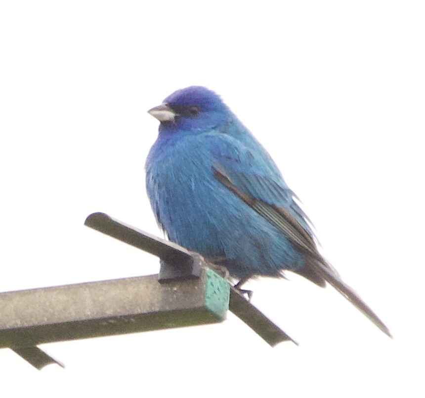
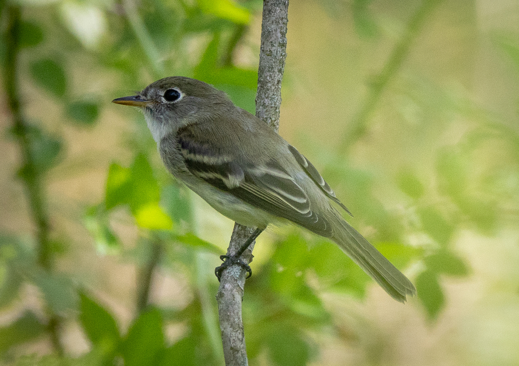
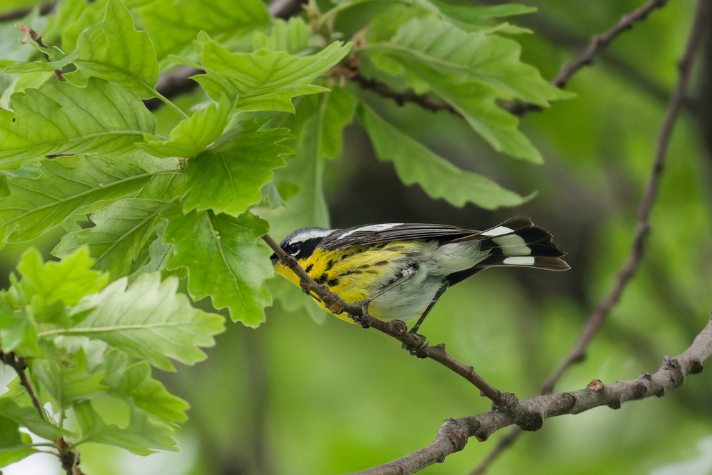
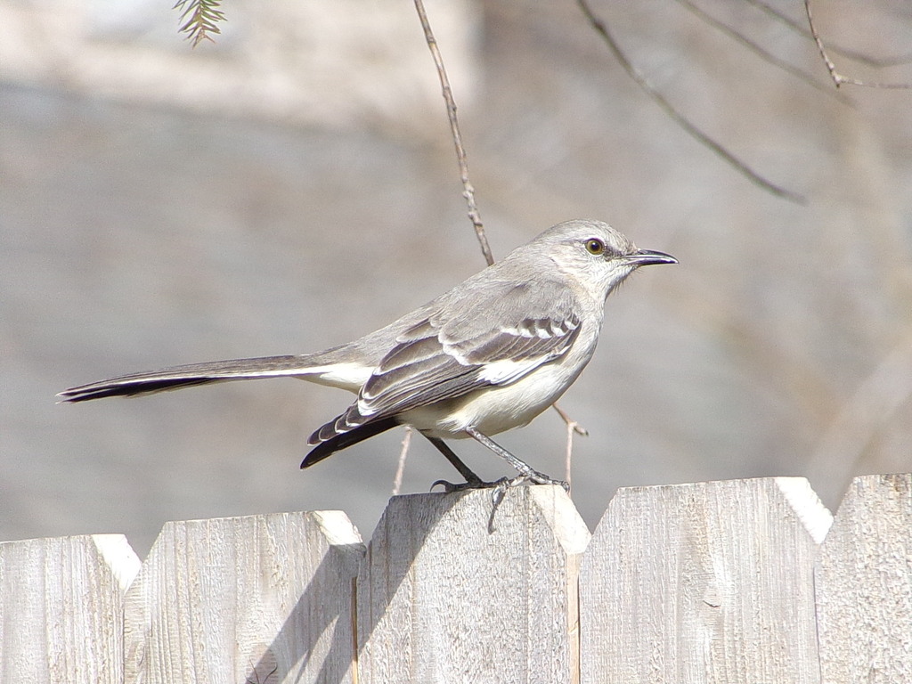
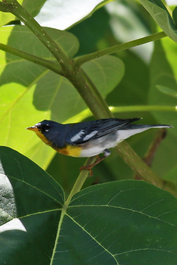
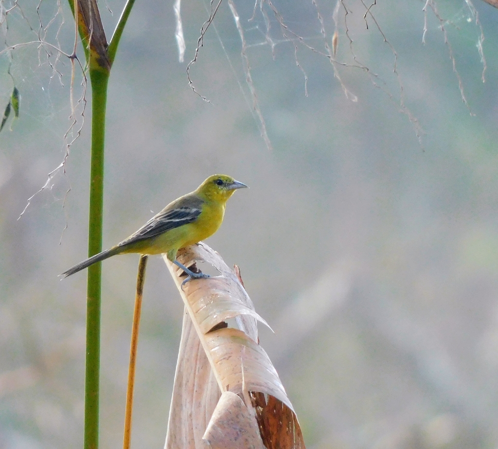
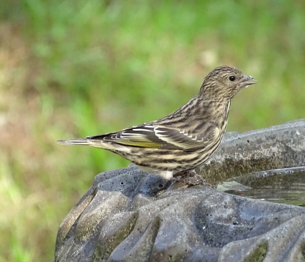
NatureServe Explorer, CC BY 4.0. USGS Gap Analysis Project habitat models.
Sources
- USGS Gap Analysis Project habitat models (2001)
- USGS GAP summer habitat model for Veery Elevation 1,066 to 2,500 m
- USGS Gap Analysis Project range maps (2001), modeled by watershed; migratory gives no dates
- NatureServe Explorer (CC BY 4.0), habitat names
- US Census TIGER/Line counties
- Names follow the USGS Gap Analysis Project (2001)