

Bird
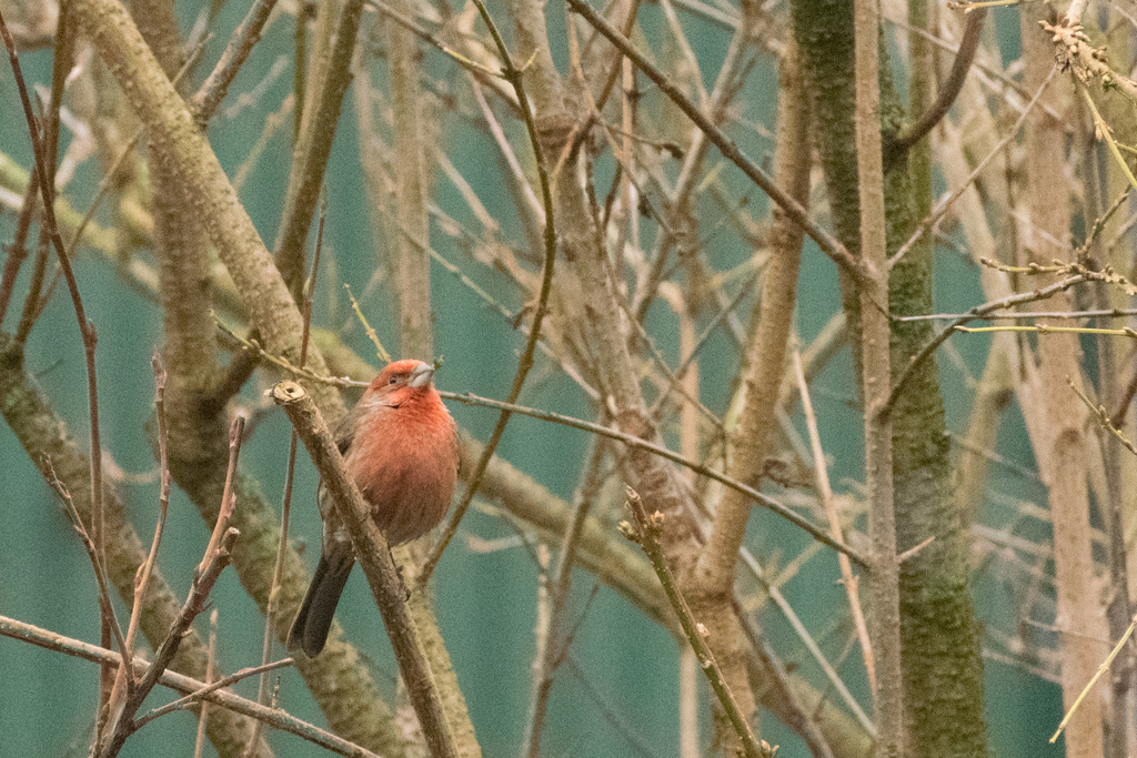
House Finch
Carpodacus mexicanus
Lives in Arkansas all year and nests here. Found in 68 of 75 counties, across 4 habitats.
- Here
- All year
- Nesting
- Nests here
- Range
- 68 of 75 counties
- Habitats
- 4
At a glance
- Group
- Birds
- Here
- All year
- Nesting
- Nests here
- Range
- 68 of 75 counties
- Habitats
- 4
- Habitat models
- Year-round
Where it lives
The places its habitat model includes. It is not found everywhere a habitat occurs.
Habitats in Arkansas 4
Each habitat page lists the plants and wildlife also found there.
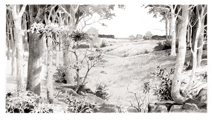
Open, grass-dominated places kept open by fire, grazing or thin soil, from tallgrass prairie to Piedmont prairies.
Roadsides, fields and disturbed ground
Ground opened by people: roadsides, old fields, pastures, fencerows and lots.
Tree plantations and managed pine
Planted or intensively managed stands of pine or hardwoods grown for timber; a land use rather than a natural community.
Other habitats in its models (14)
Land cover, or classes with no habitat page in Arkansas.
- Developed, Low Intensity Year-round.
- Developed, Medium Intensity Year-round.
- Developed, High Intensity Year-round.
- East Gulf Coastal Plain Black Belt Calcareous Prairie and Woodland - Herbaceous Modifier Year-round.
- East Gulf Coastal Plain Northern Dry Upland Hardwood Forest - Offsite Pine Modifier Year-round.
- West Gulf Coastal Plain Catahoula Barrens Year-round.
- Central Mixedgrass Prairie Year-round.
- Florida Dry Prairie Year-round.
- Harvested Forest - Grass/Forb Regeneration Year-round.
- Recently Burned Grassland Year-round.
- Recently Burned Shrubland Year-round.
- Introduced Upland Vegetation - Forbland Year-round.
- Introduced Upland Vegetation - Perennial Grassland Year-round.
- Western Great Plains Floodplain Systems Year-round.
Seasons in Arkansas
- Year-round: nests here, in 68 of 75 counties.
Also found in this habitat
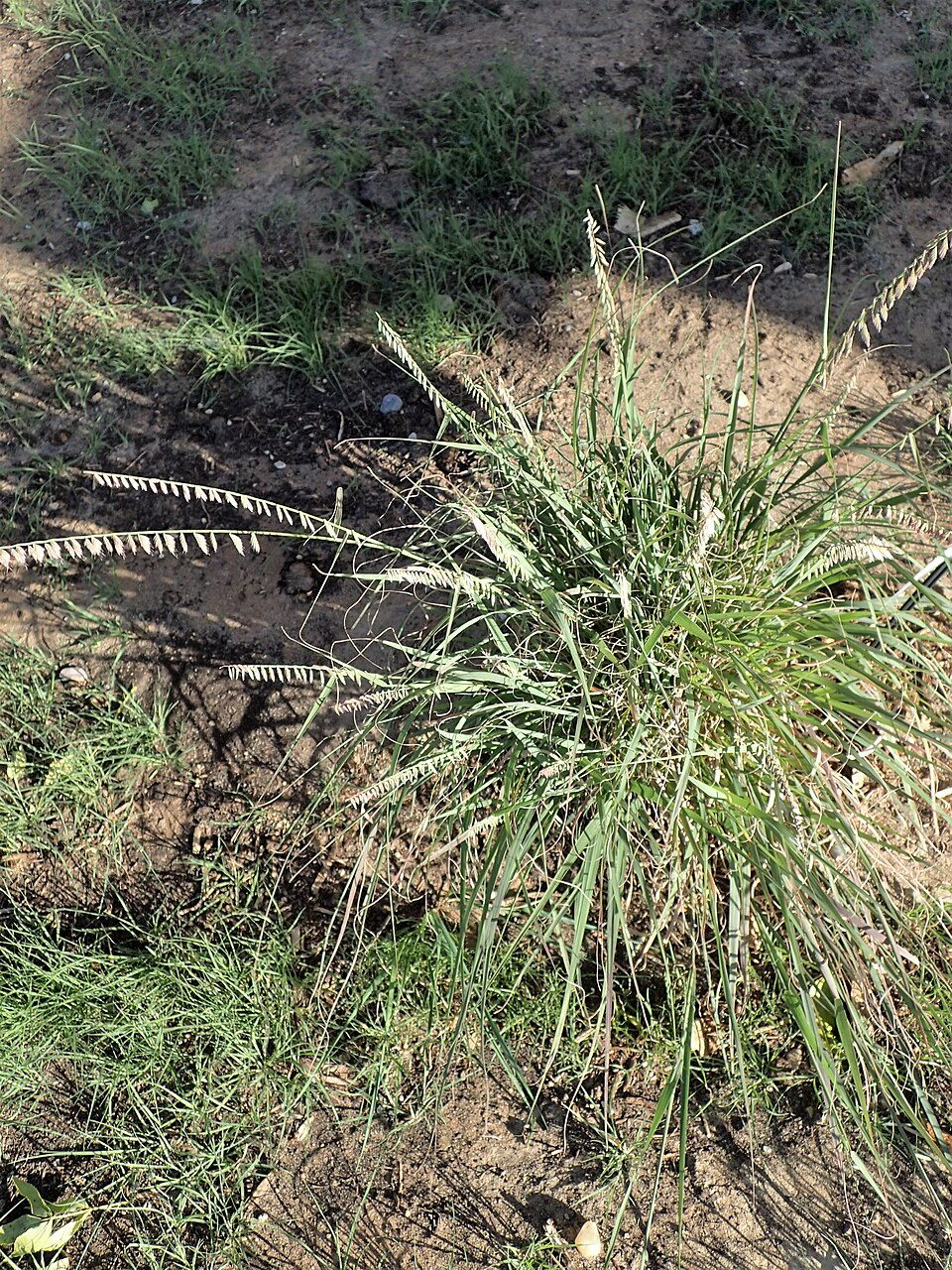
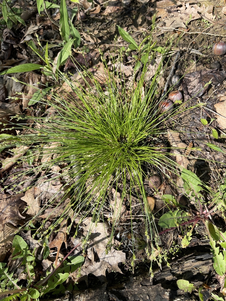
Plants 149
Plants named in NatureServe descriptions of these habitats that grow in Arkansas. Shared habitat, not food.
- Bushy BluestemAndropogon glomeratus
- Sideoats GramaBouteloua curtipendula
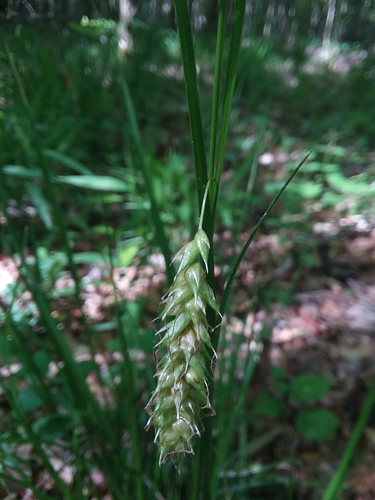
- Whitetinge SedgeCarex albicans
- Cherokee SedgeCarex cherokeensis
- Little Tooth SedgeCarex microdonta
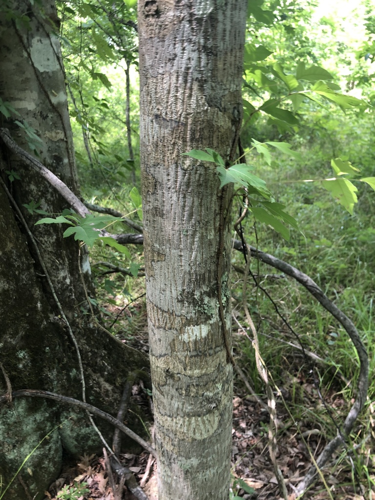
- Nutmeg HickoryCarya myristiciformis
- Rough Leaf DogwoodCornus drummondii
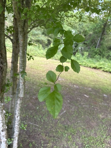
- Cockspur HawthornCrataegus crus-galli
- Green HawthornCrataegus viridis
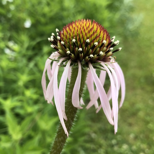
- Pale Purple ConeflowerEchinacea pallida
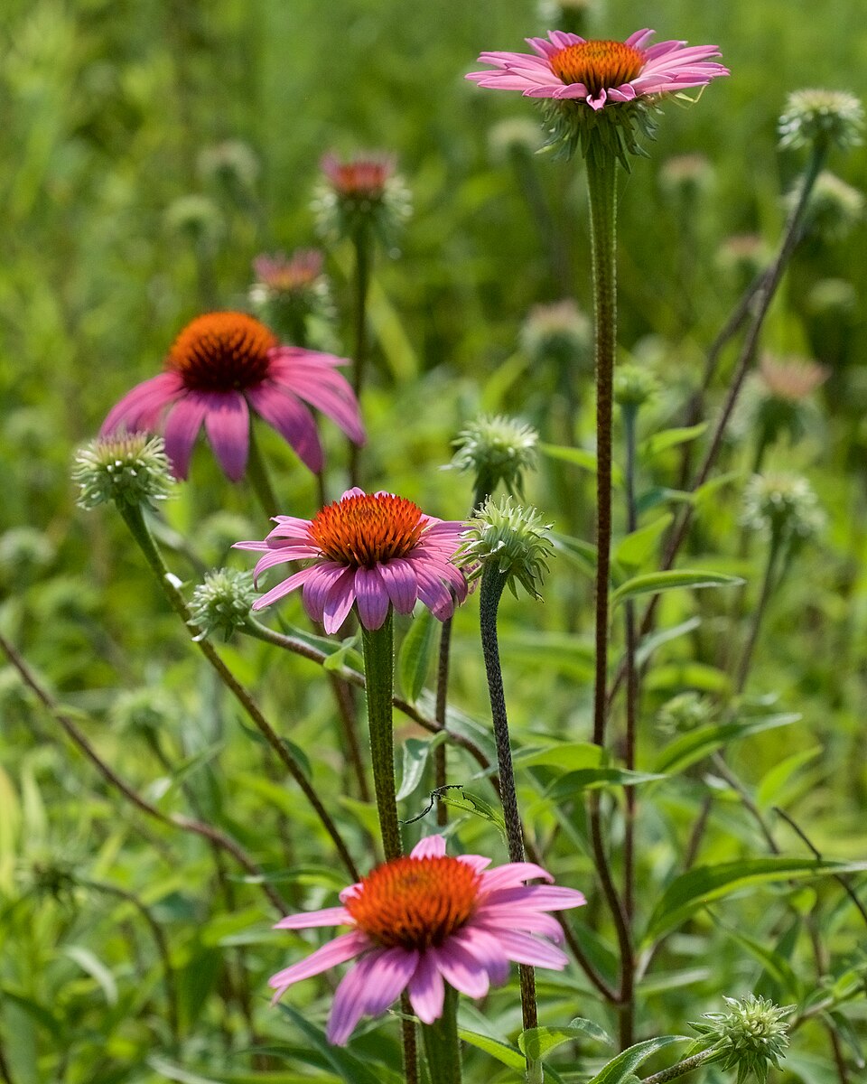
- Eastern Purple ConeflowerEchinacea purpurea
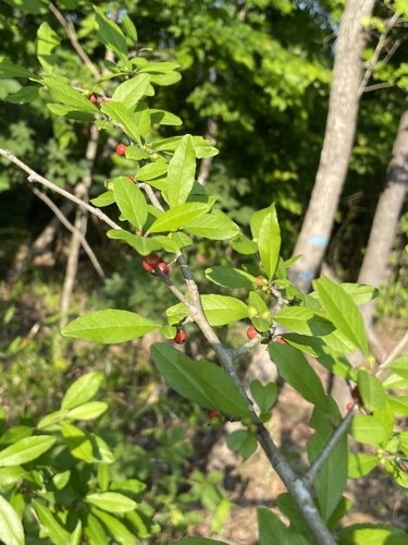
- Possumhaw HollyIlex decidua
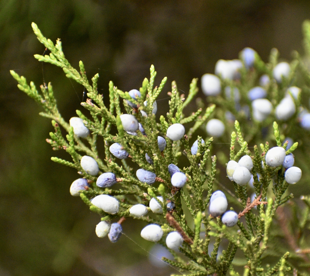
- Eastern Red CedarJuniperus virginiana
- Juniperus virginiana var. virginianaJuniperus virginiana var. virginiana
- Prairie CelestialNemastylis geminiflora
- Wiry PanicgrassPanicum flexile
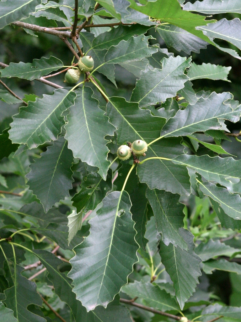
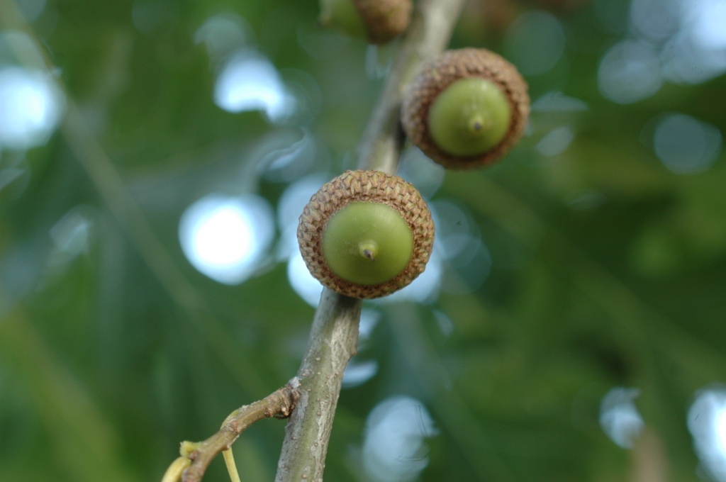
- Chinquapin OakQuercus muehlenbergii
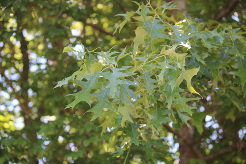
- Cherrybark OakQuercus pagoda
- Shumard OakQuercus shumardii
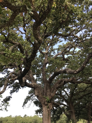
- Post OakQuercus stellata
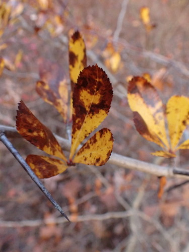
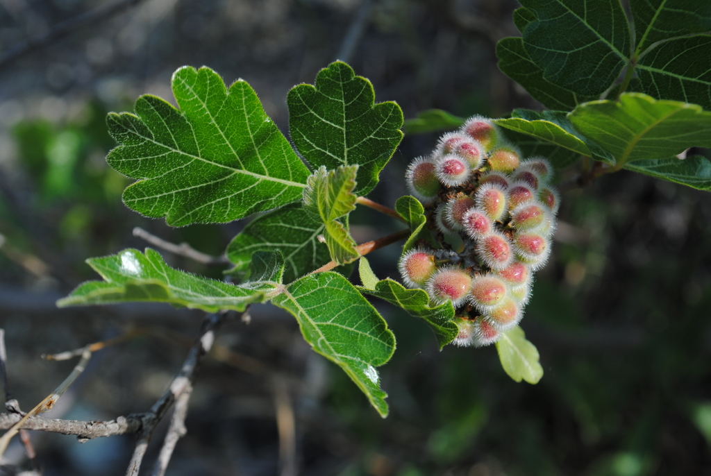
- Fragrant SumacRhus aromatica
- Granite GooseberryRibes curvatum
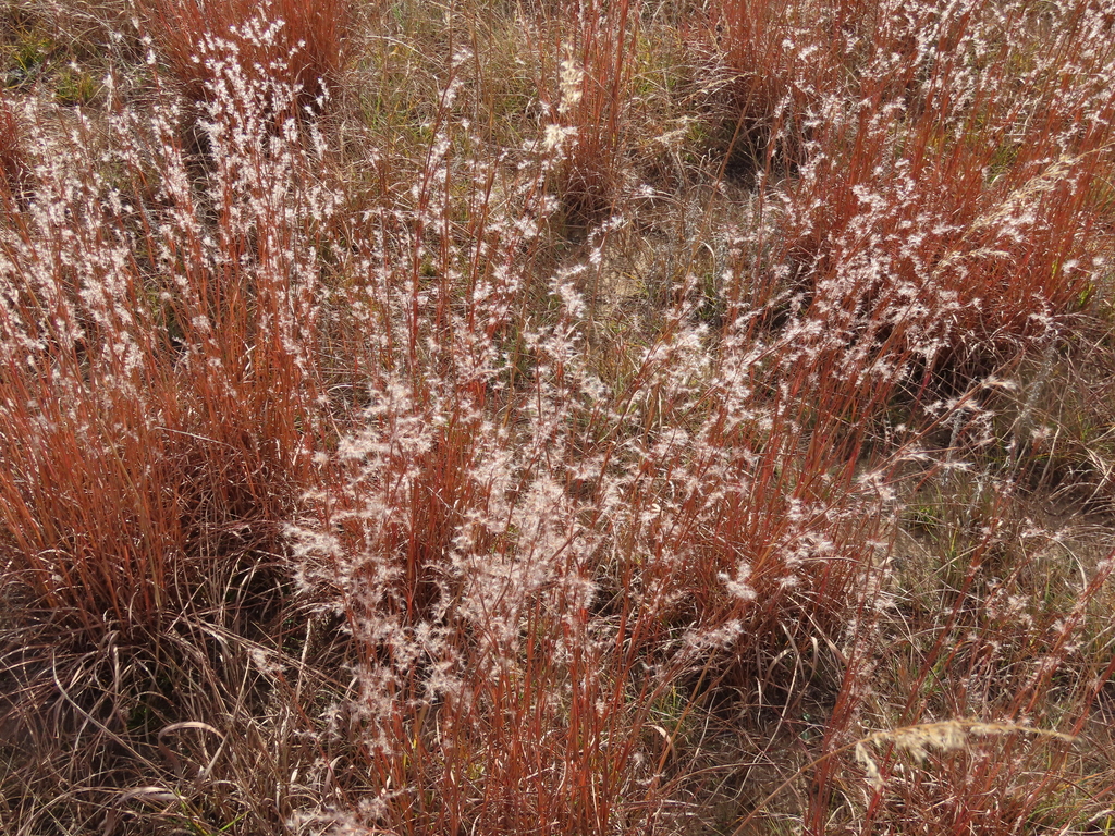
- Little BluestemSchizachyrium scoparium
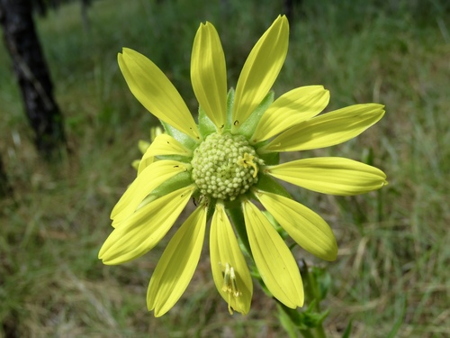
- Compass PlantSilphium laciniatum
Wildlife 179
Other animals whose habitat models include the same habitats in Arkansas. Not sighting records.
- American GoldfinchCarduelis tristis
- American RobinTurdus migratorius
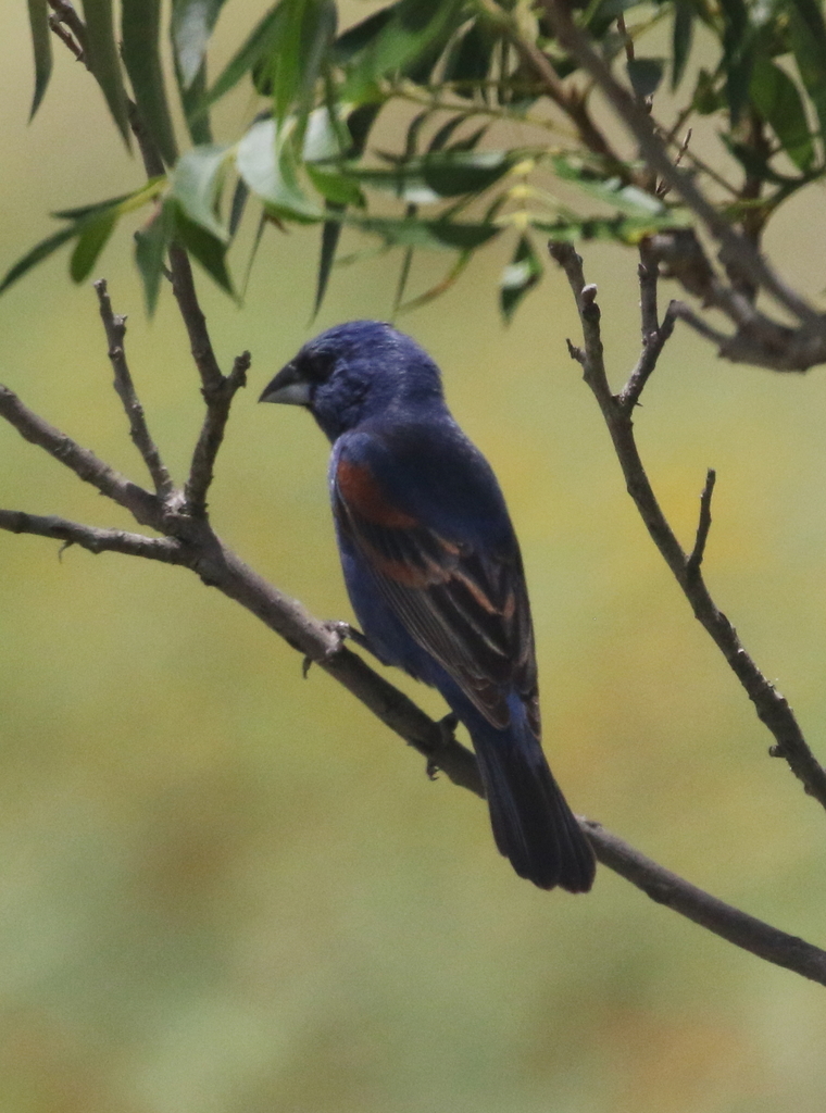
- Blue GrosbeakPasserina caerulea
- Brown ThrasherToxostoma rufum
- Chimney SwiftChaetura pelagica
- Chipping SparrowSpizella passerina
- Common NighthawkChordeiles minor
- Common YellowthroatGeothlypis trichas
- Cooper's HawkAccipiter cooperii
- Dark-eyed JuncoJunco hyemalis
- Eastern KingbirdTyrannus tyrannus
- Eastern TowheePipilo erythrophthalmus
- Eurasian Collared-doveStreptopelia decaocto
- European StarlingSturnus vulgaris
- Great Horned OwlBubo virginianus
- Harris's SparrowZonotrichia querula
- Indigo BuntingPasserina cyanea
- Loggerhead ShrikeLanius ludovicianus
- Mourning DoveZenaida macroura
- Northern BobwhiteColinus virginianus
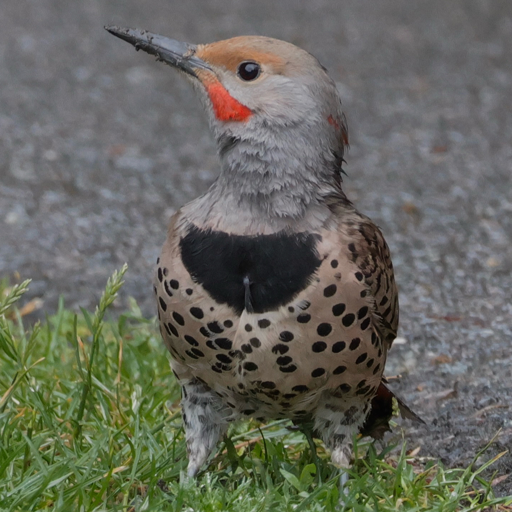
- Northern FlickerColaptes auratus
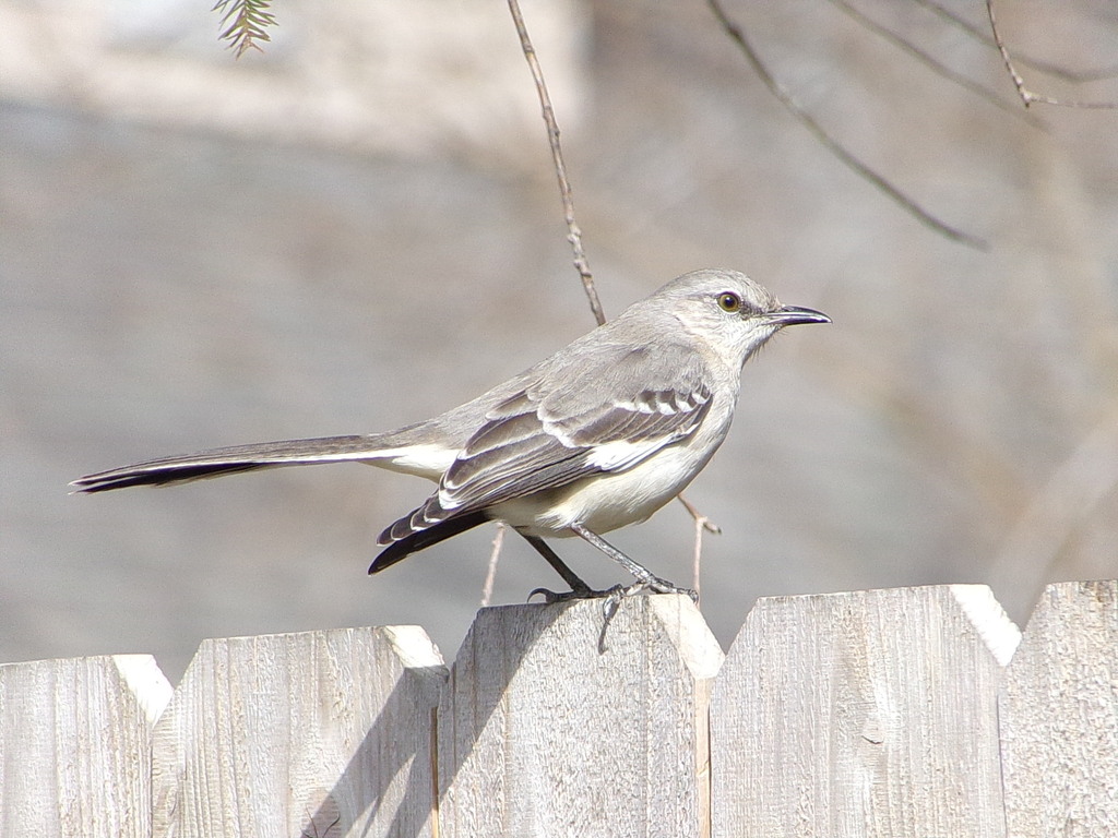
- Northern MockingbirdMimus polyglottos
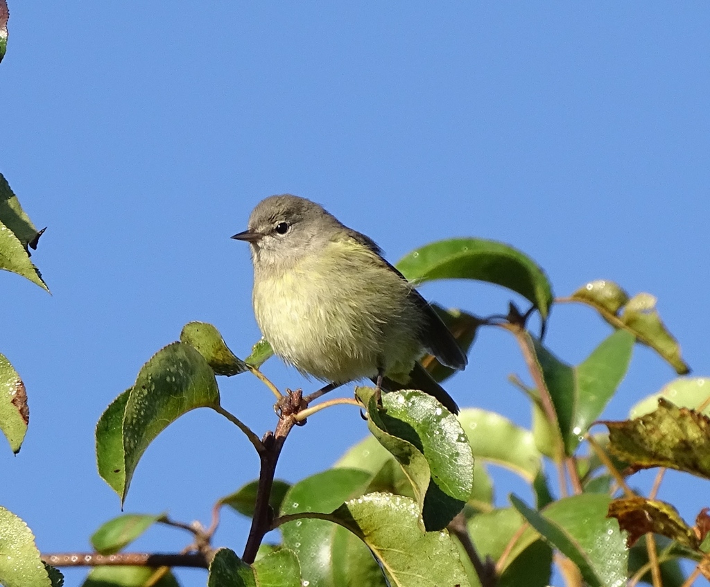
- Orange-crowned WarblerVermivora celata
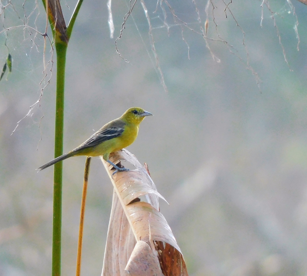
- Orchard OrioleIcterus spurius


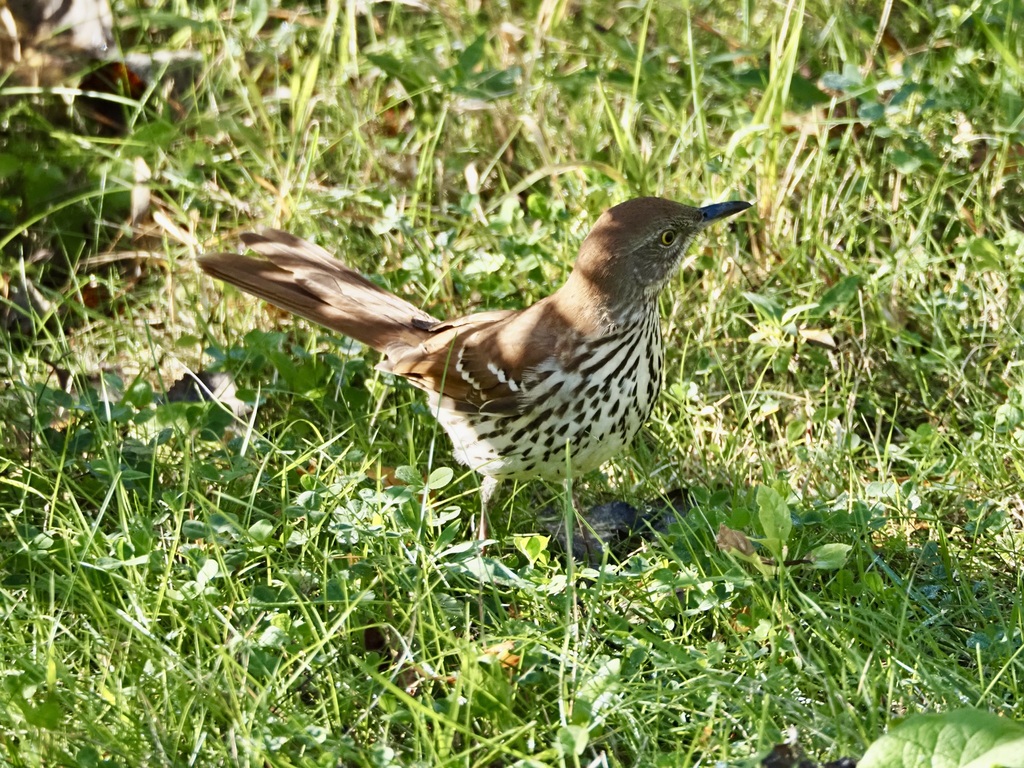

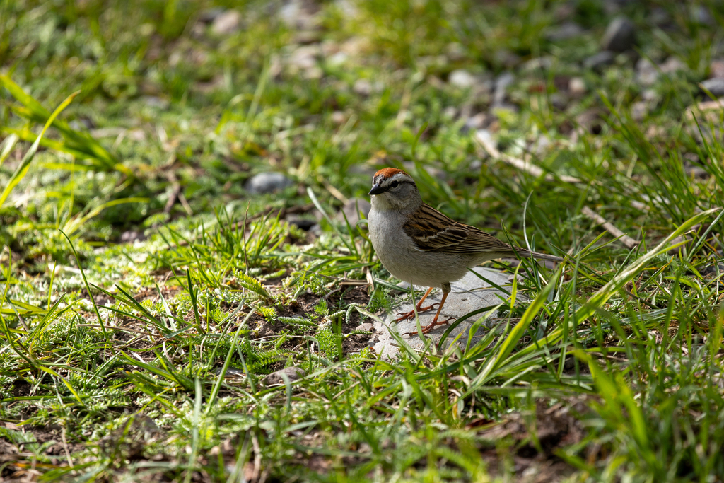

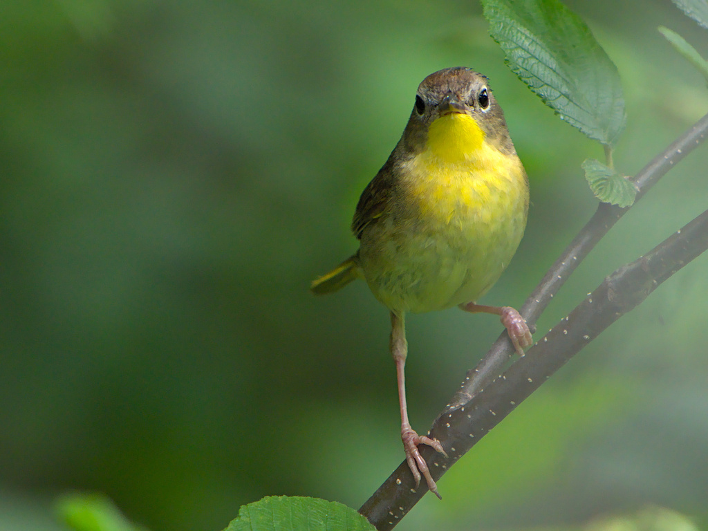

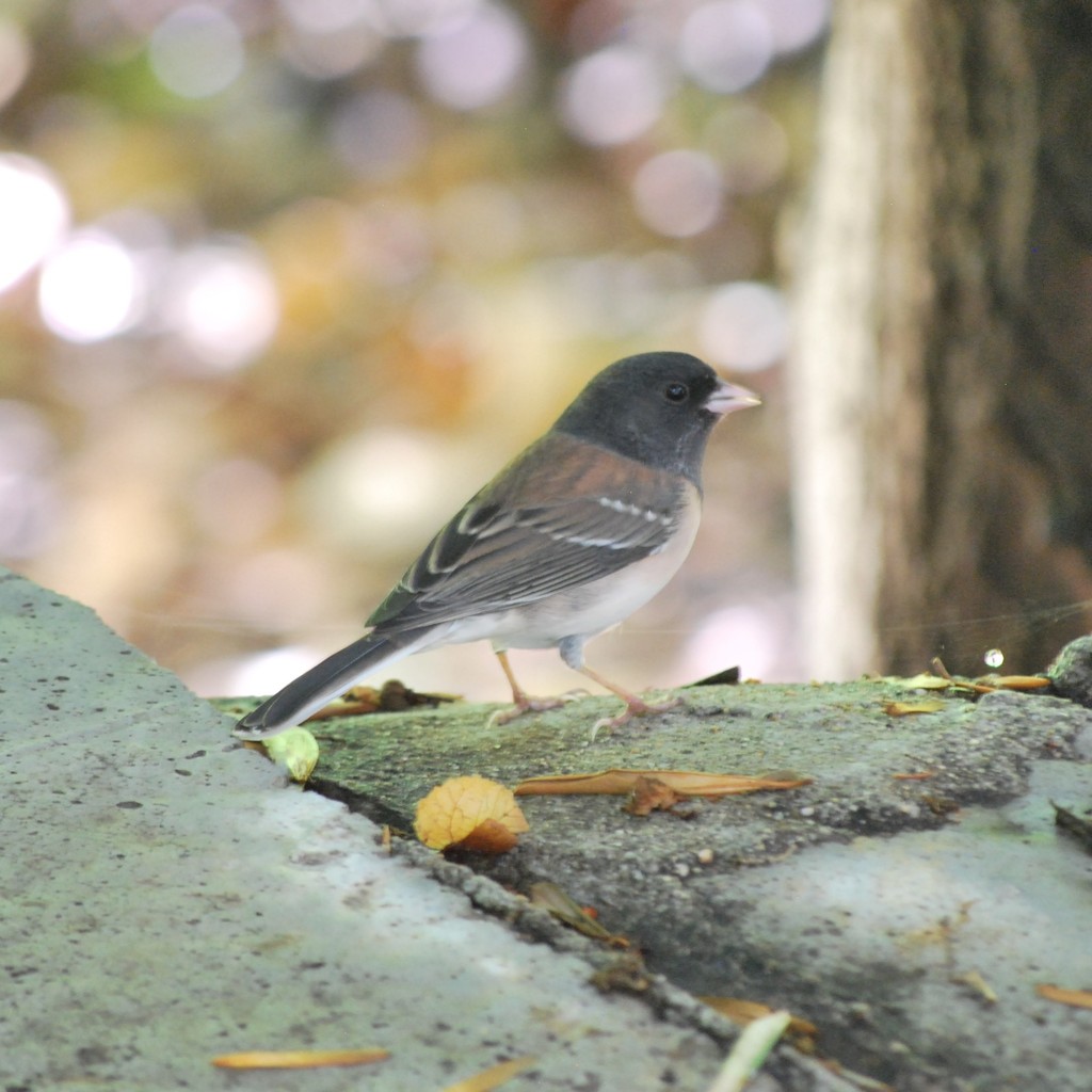

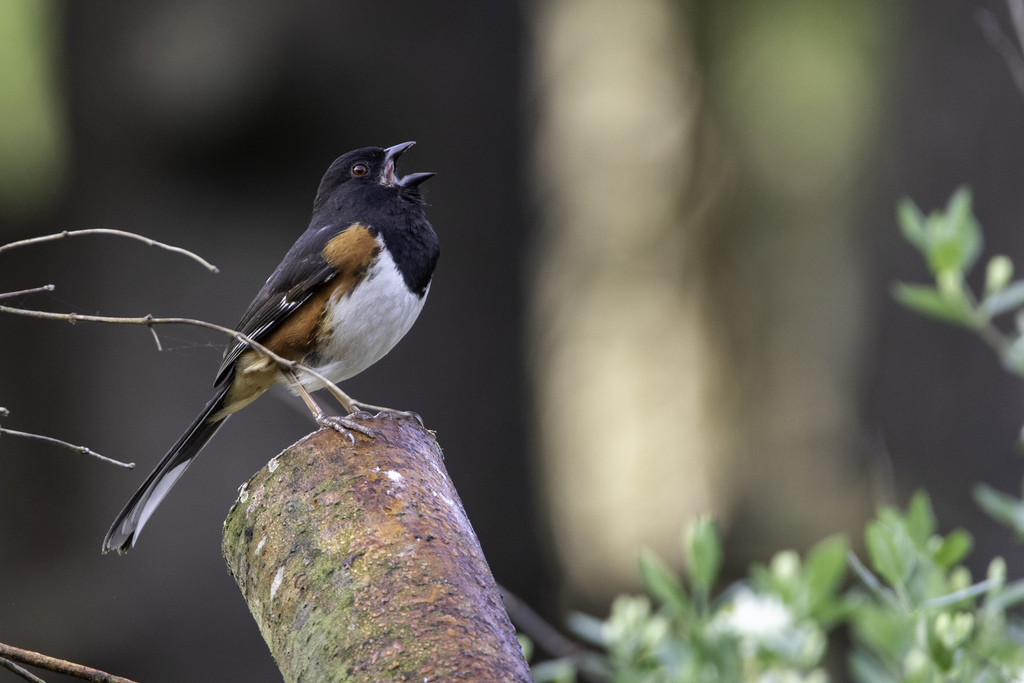
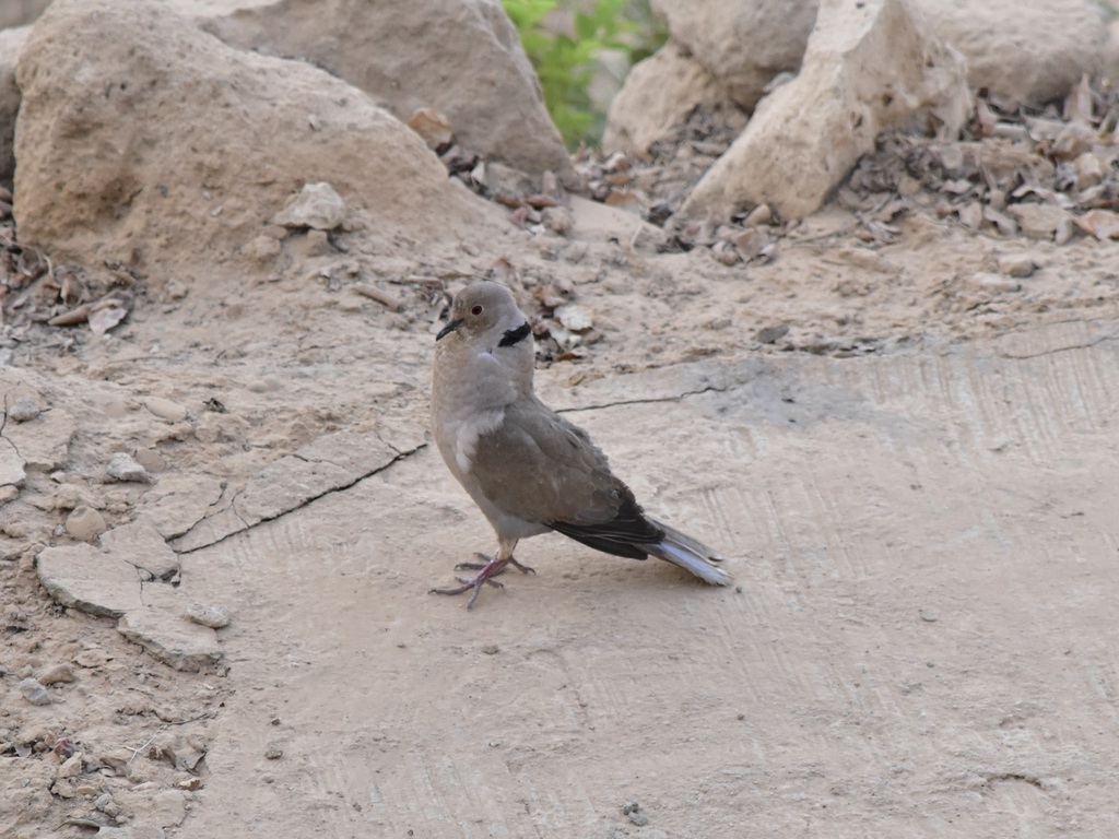
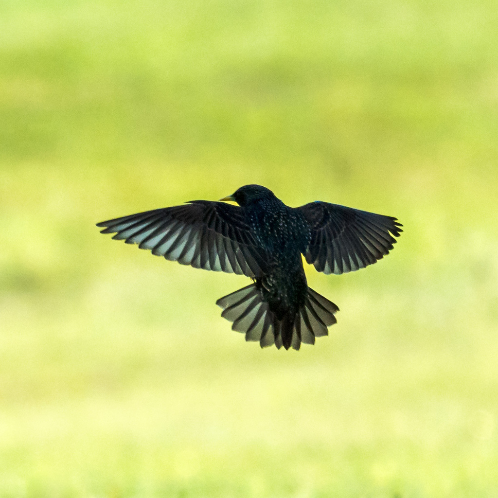

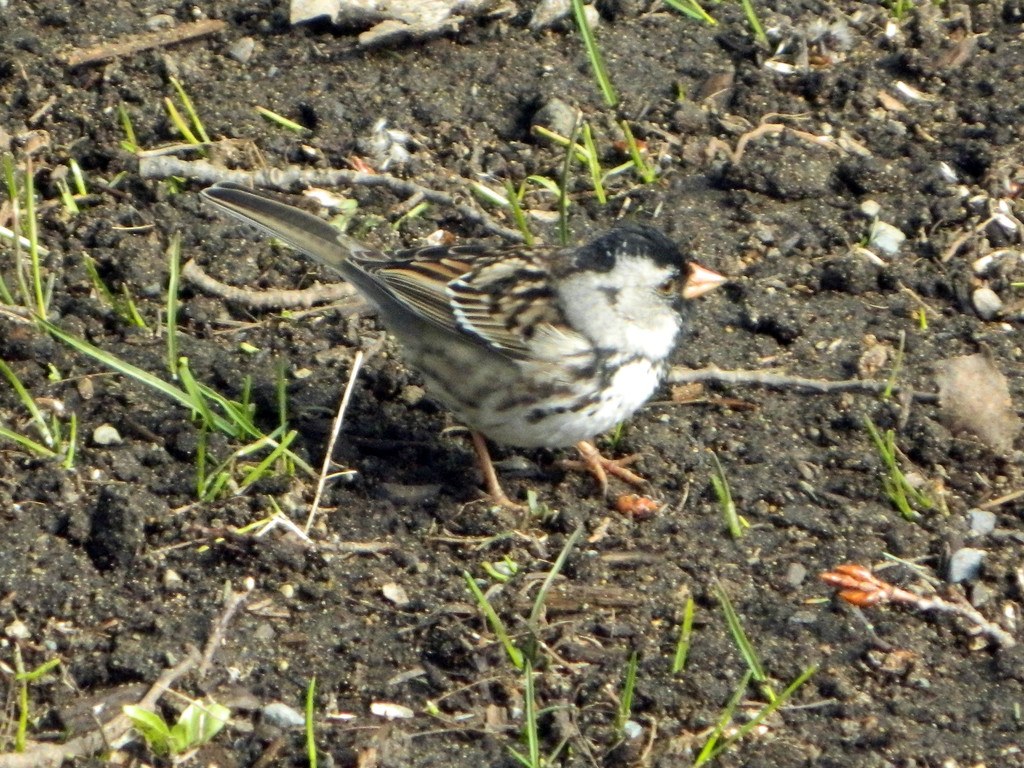
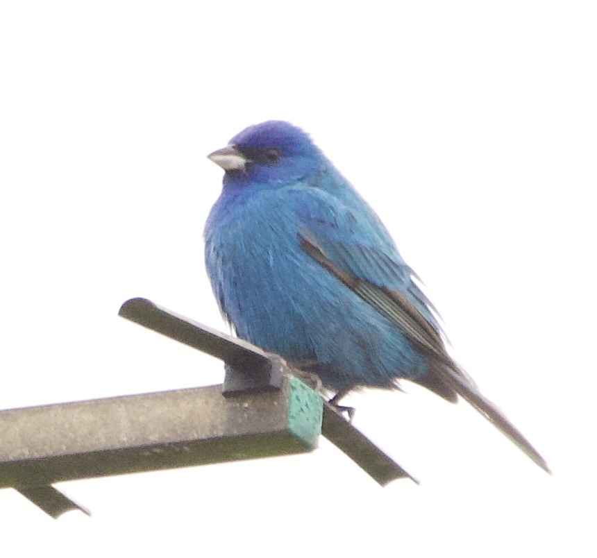
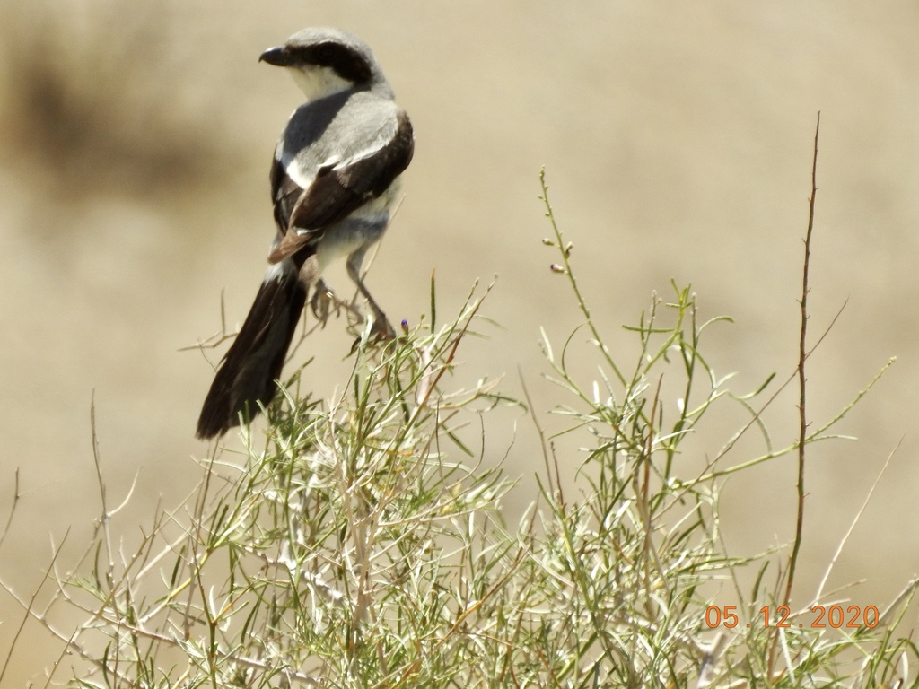
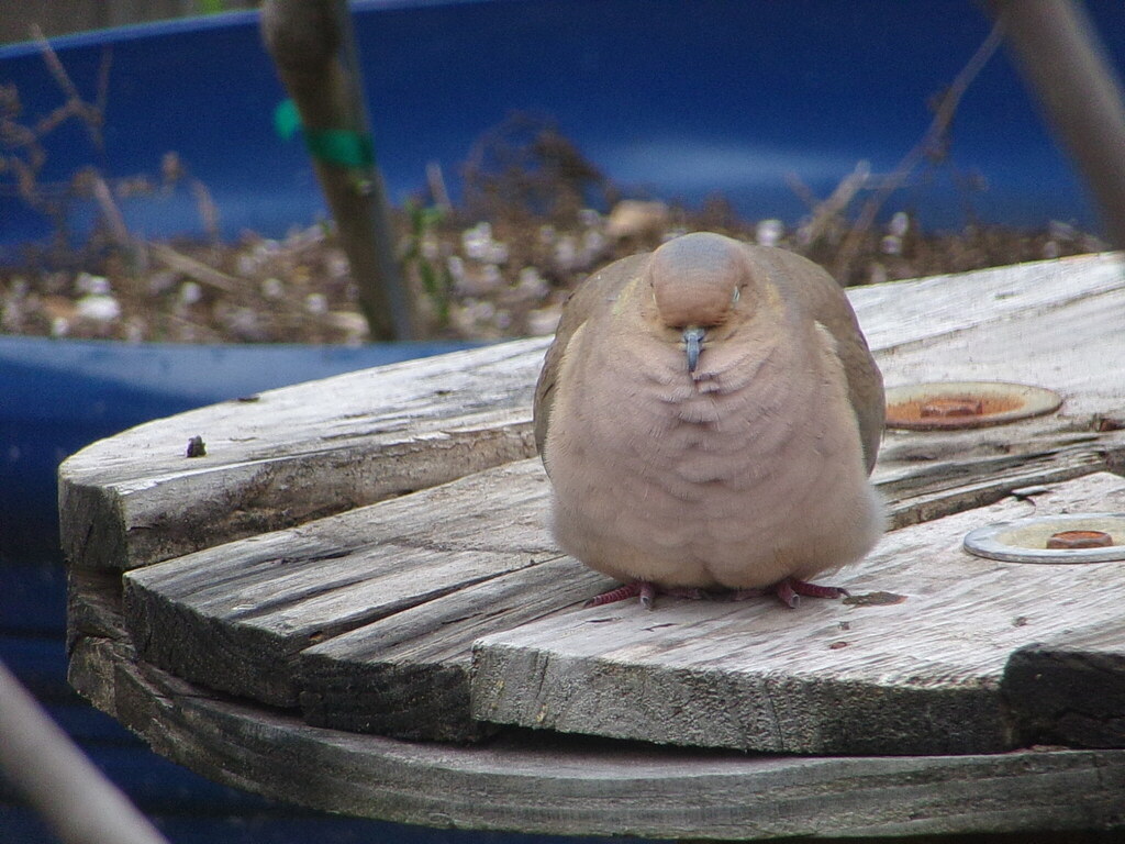
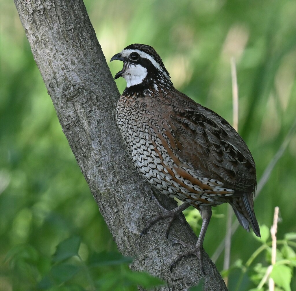
NatureServe Explorer, CC BY 4.0. USGS Gap Analysis Project habitat models.
Sources
- USGS Gap Analysis Project habitat models (2001)
- USGS GAP year-round habitat model for House Finch Elevation -47 to 914 m. Avoids forest interior
- USGS Gap Analysis Project range maps (2001), modeled by watershed; migratory gives no dates
- NatureServe Explorer (CC BY 4.0), habitat names
- US Census TIGER/Line counties
- Names follow the USGS Gap Analysis Project (2001)