

Bird
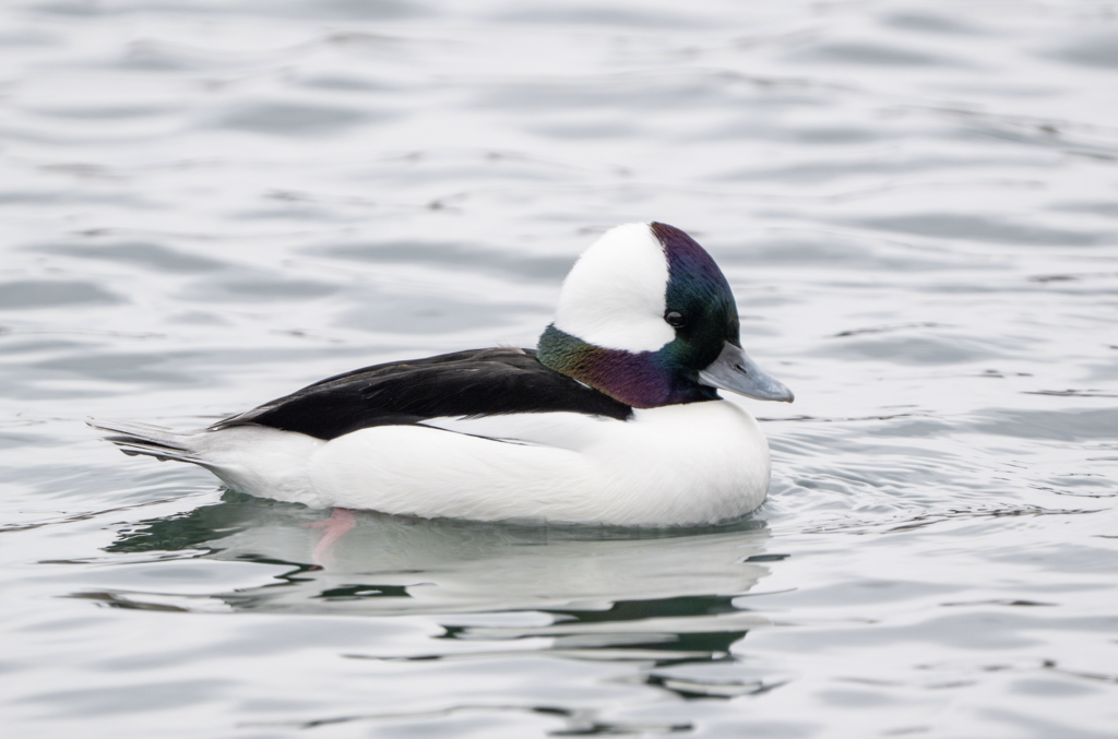
Bufflehead
Bucephala albeola
A winter visitor to Arkansas, found in all 75 counties and 1 habitat.
- Here
- Winter
- Nesting
- Not known to nest here
- Range
- All 75 counties
- Habitats
- 1
At a glance
- Group
- Birds
- Here
- Winter
- Nesting
- Not known to nest here
- Range
- All 75 counties
- Habitats
- 1
- Habitat models
- Winter
Where it lives
The places its habitat model includes. It is not found everywhere a habitat occurs.
Habitats in Arkansas 1
Each habitat page lists the plants and wildlife also found there.
Still water and its edges: ponds, lakes, millponds and reservoirs.
Other habitats in its models (1)
Land cover, or classes with no habitat page in Arkansas. Those recorded in Arkansas first, the rest by region.
Land cover and other classes (1)
- Open Water (Brackish/Salt) Winter.
Seasons in Arkansas
- Winter: does not nest here, in all 75 counties.
Also found in this habitat
Wildlife 77
Other animals whose habitat models include the same habitats in Arkansas. Not sighting records.
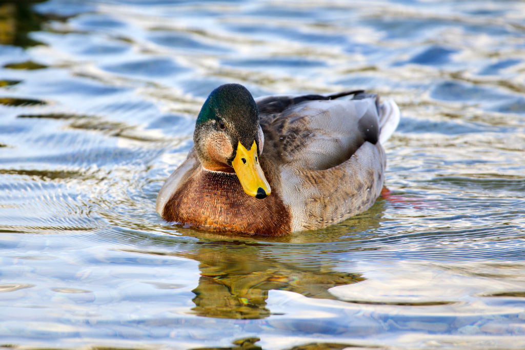
- MallardAnas platyrhynchos
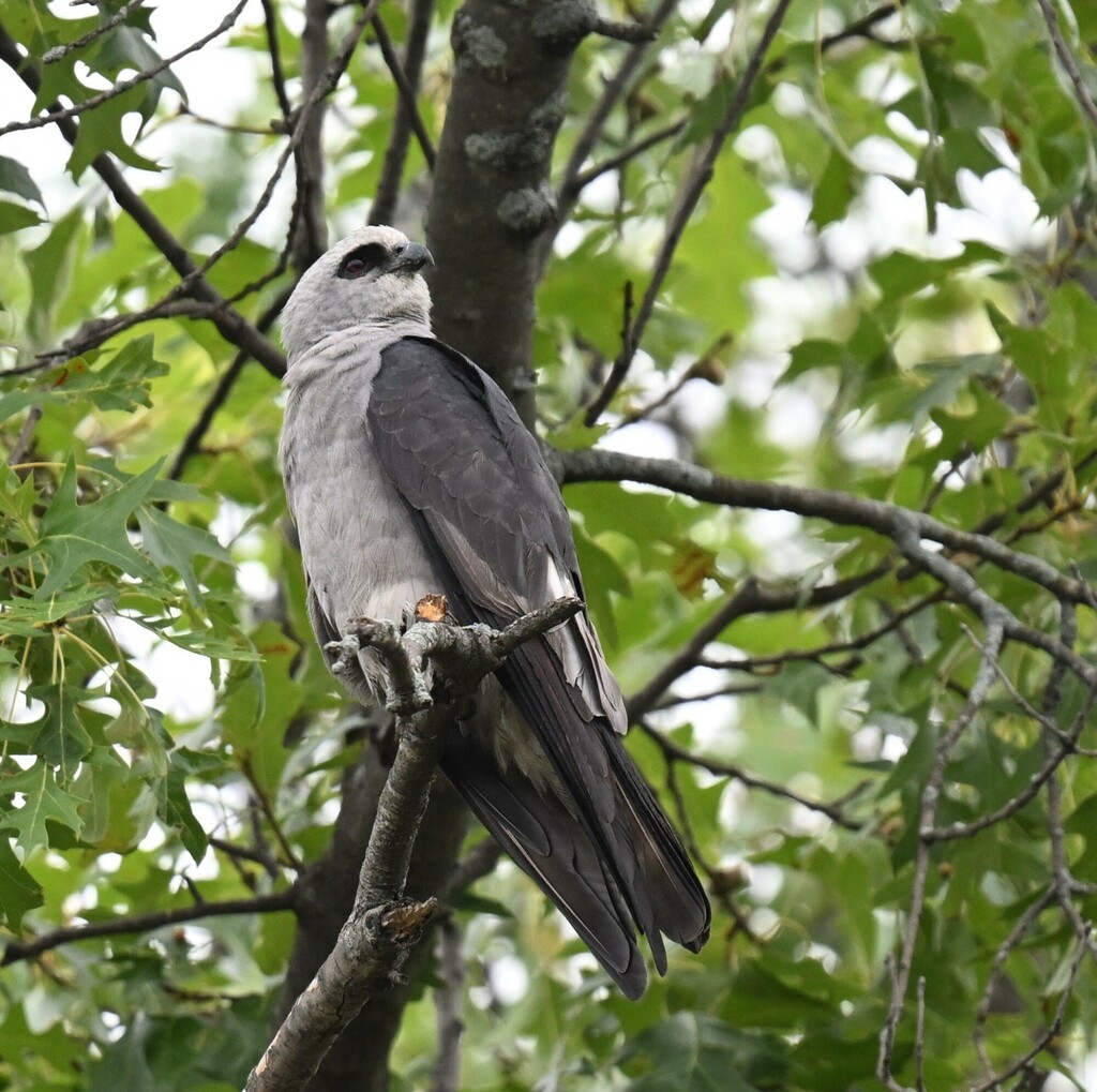
- Mississippi KiteIctinia mississippiensis
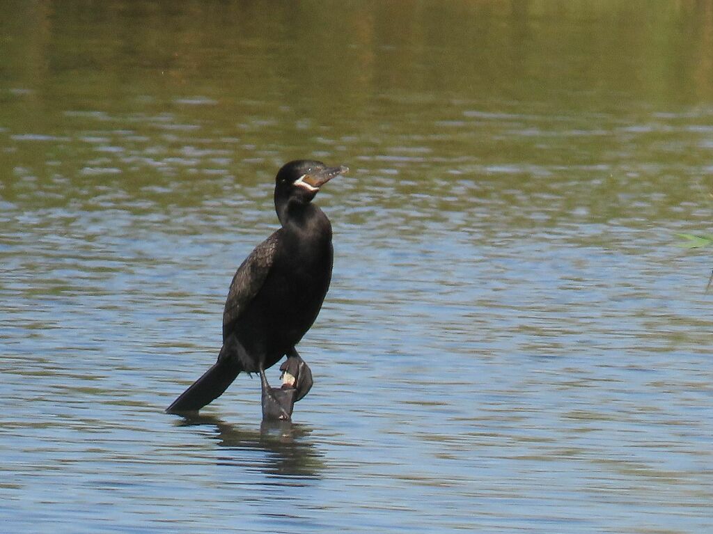
- Neotropic CormorantPhalacrocorax brasilianus
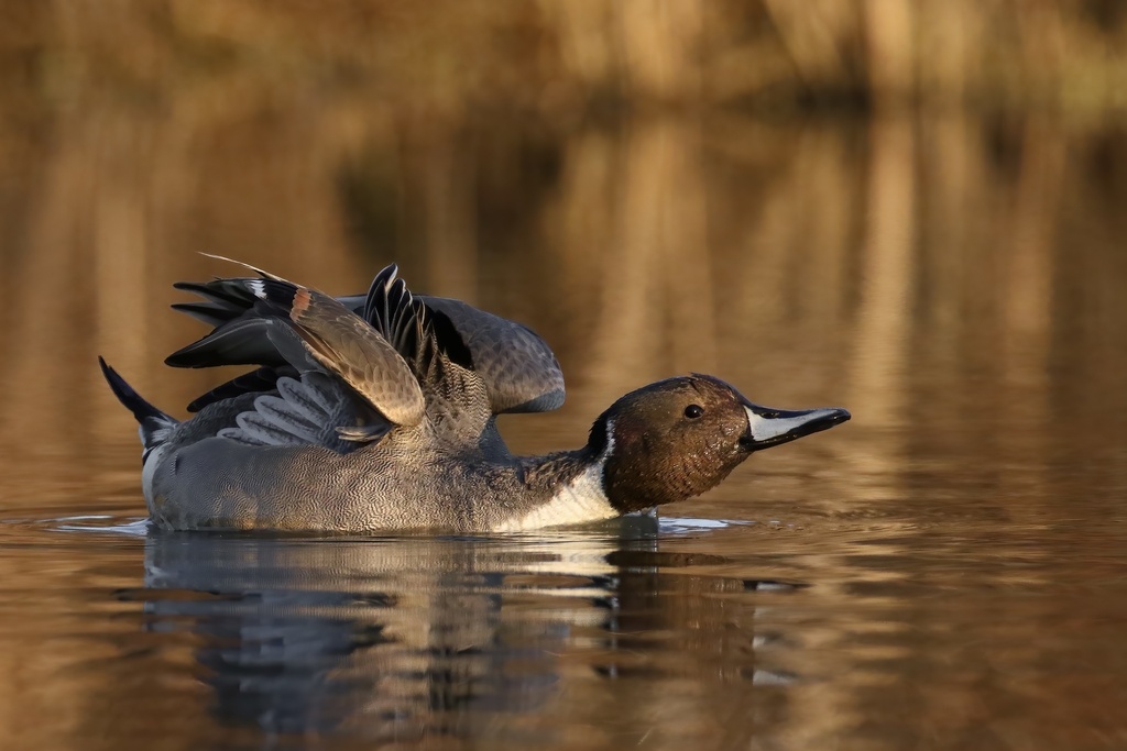
- Northern PintailAnas acuta
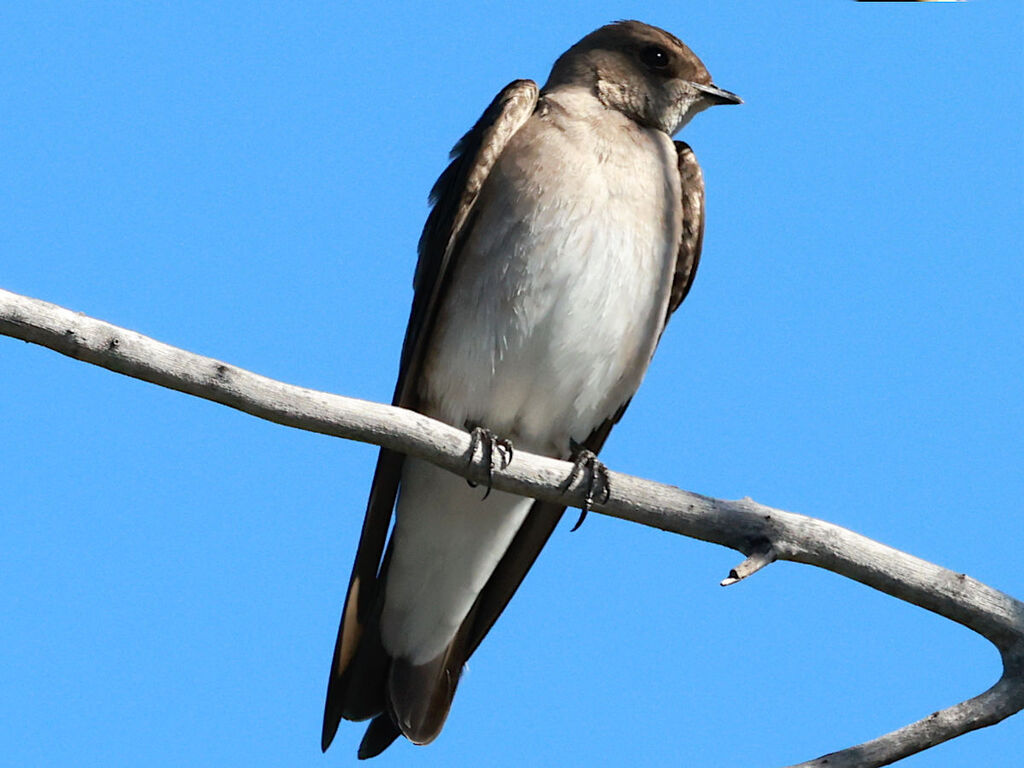
- Northern Rough-winged SwallowStelgidopteryx serripennis
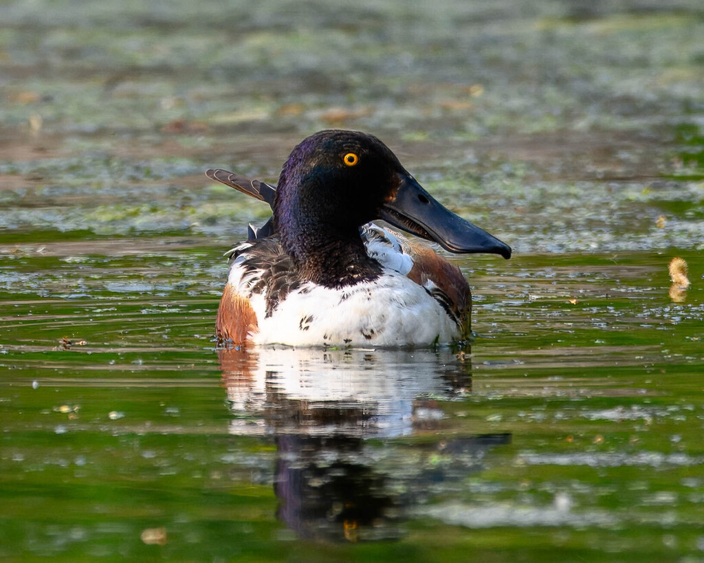
- Northern ShovelerAnas clypeata
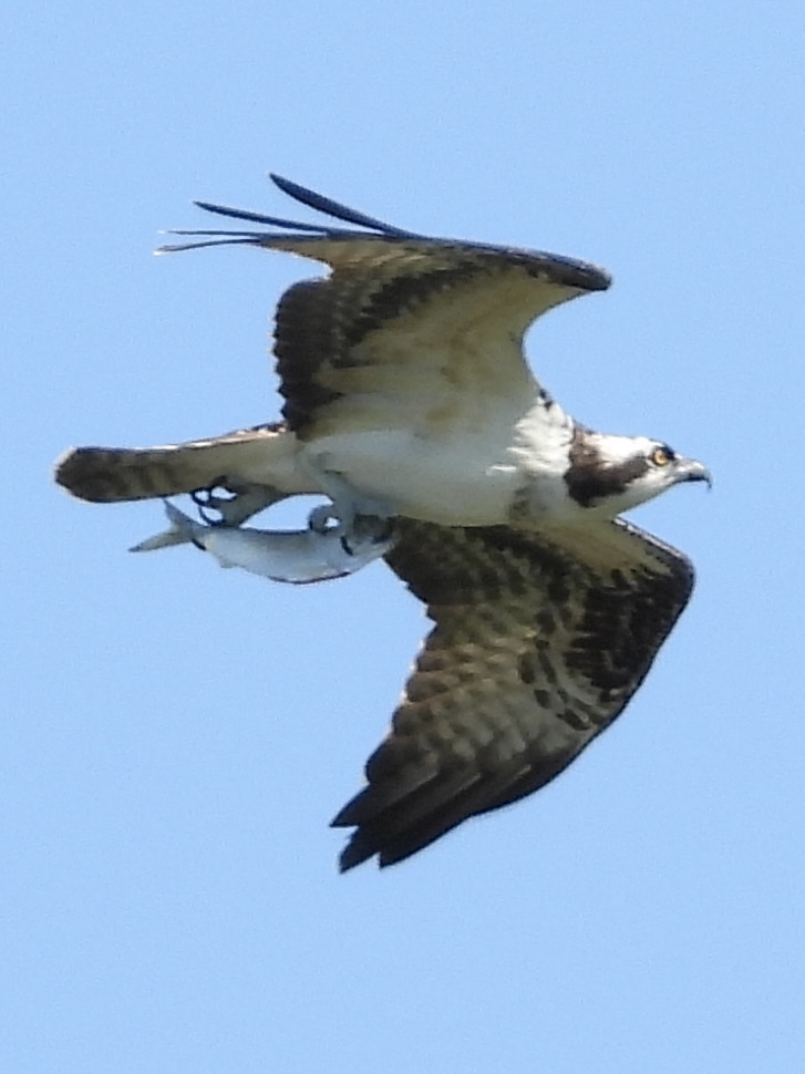
- OspreyPandion haliaetus
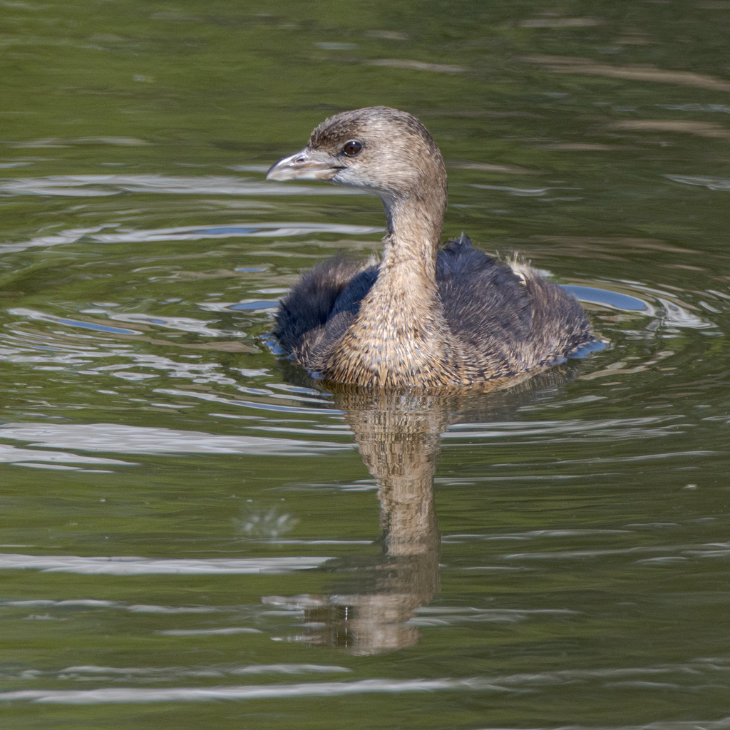
- Pied-billed GrebePodilymbus podiceps
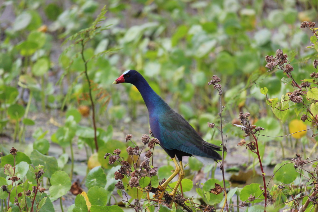
- Purple GallinulePorphyrio martinica
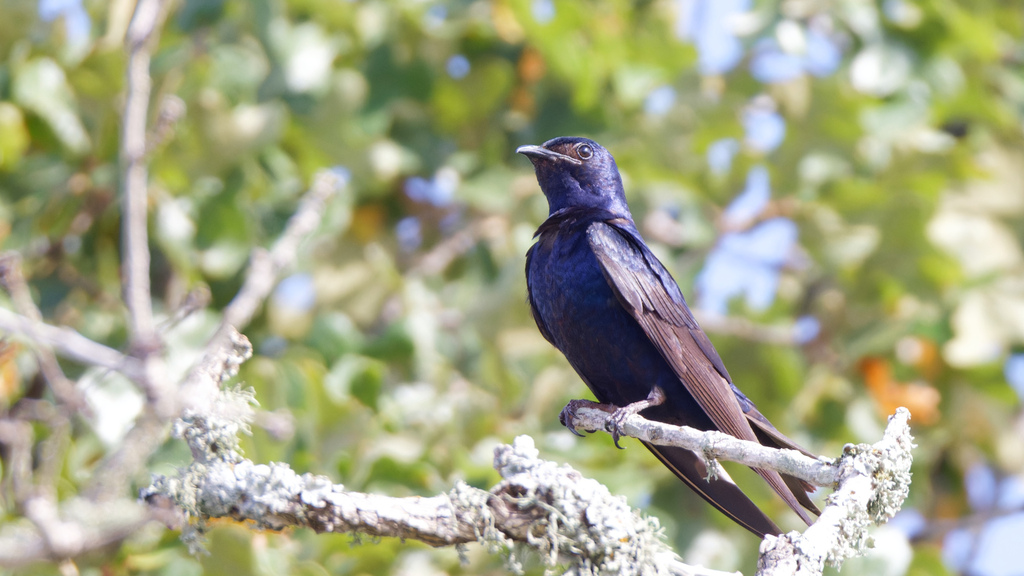
- Purple MartinProgne subis
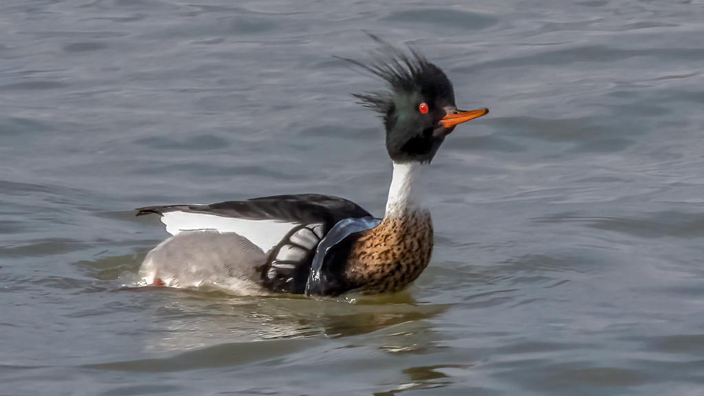
- Red-breasted MerganserMergus serrator
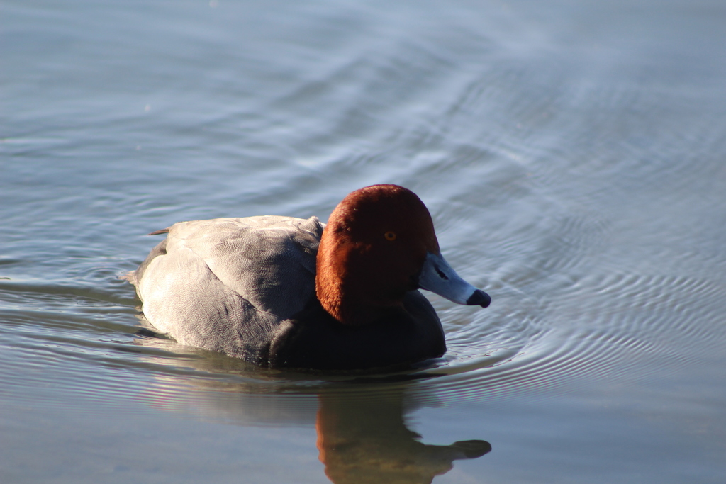
- RedheadAythya americana
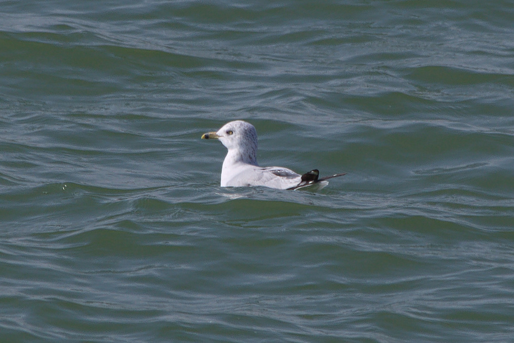
- Ring-billed GullLarus delawarensis
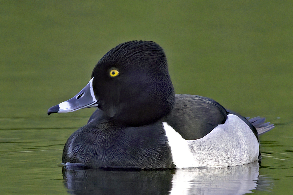
- Ring-necked DuckAythya collaris
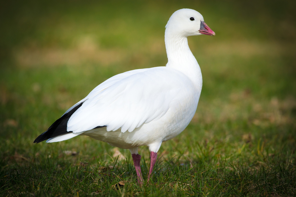
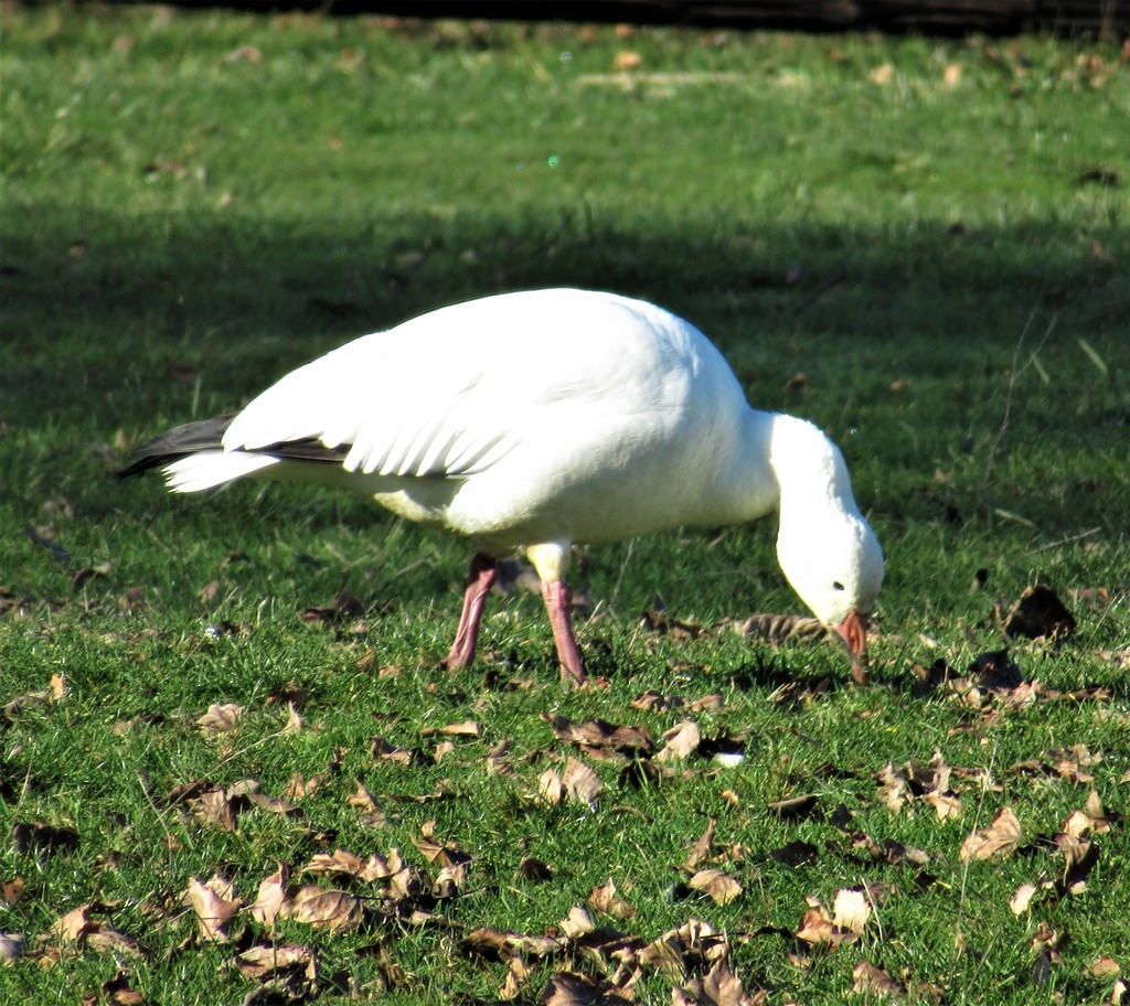
- Ross's GooseChen rossii
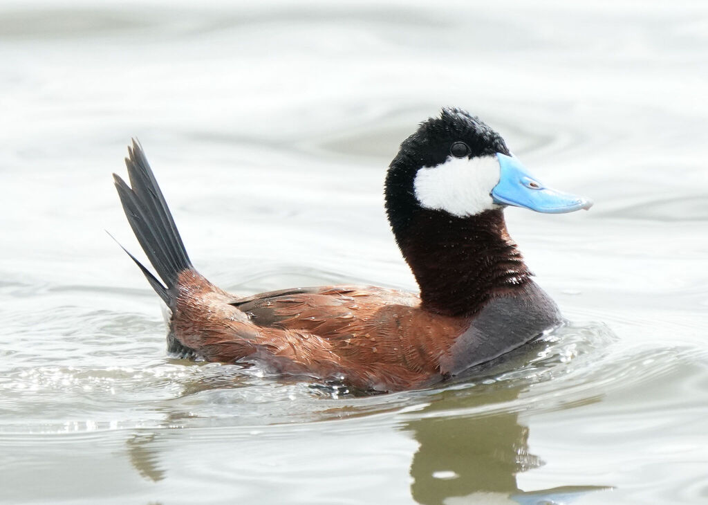
- Ruddy DuckOxyura jamaicensis
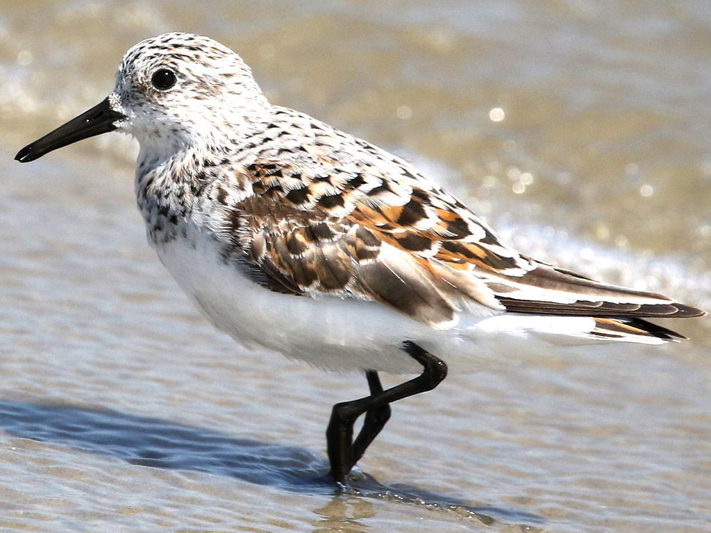
- SanderlingCalidris alba
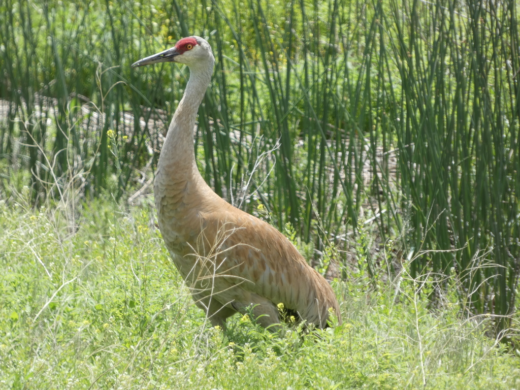
- Sandhill CraneGrus canadensis
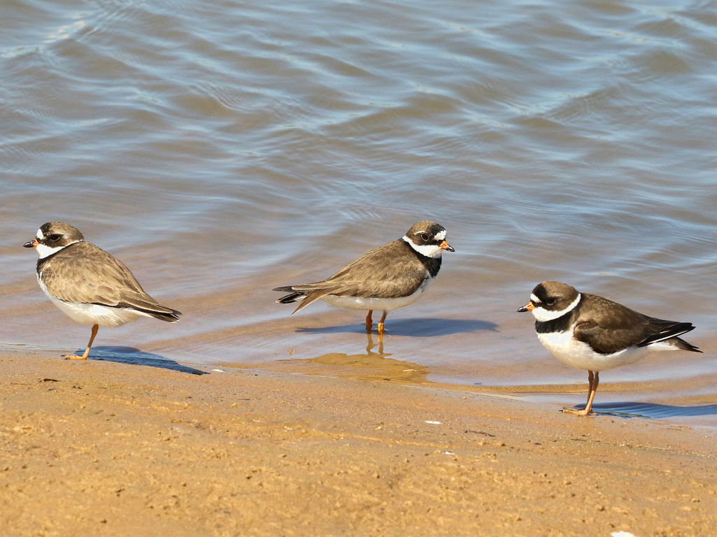
- Semipalmated PloverCharadrius semipalmatus
- Snow GooseChen caerulescens
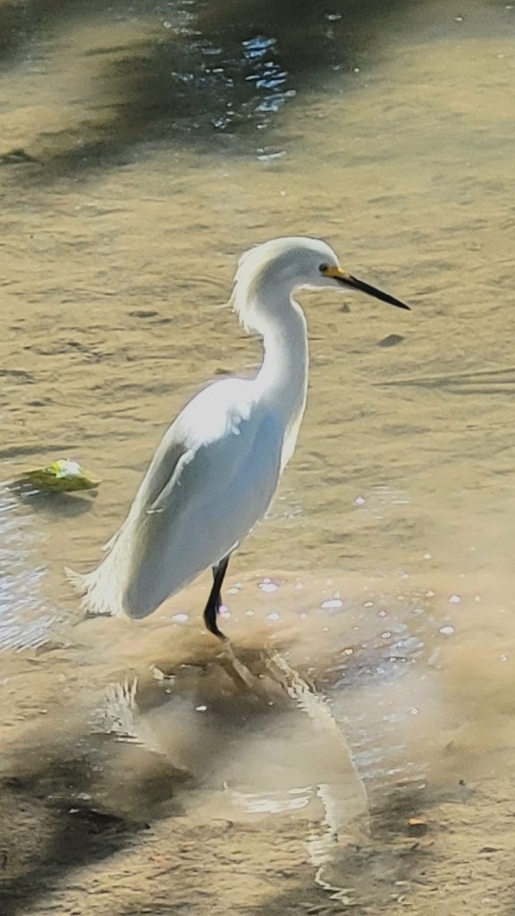
- Snowy EgretEgretta thula
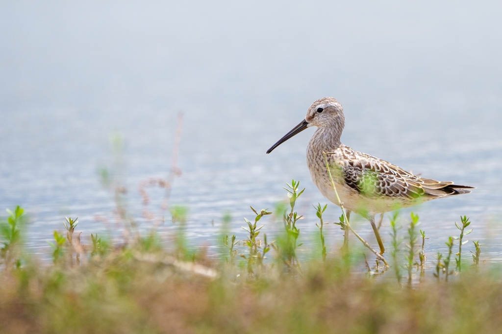
- Stilt SandpiperCalidris himantopus
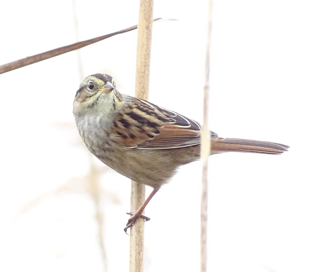
- Swamp SparrowMelospiza georgiana
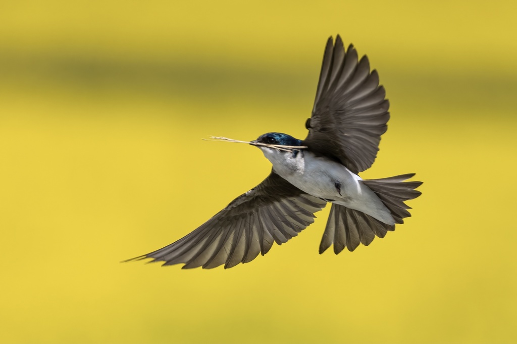
- Tree SwallowTachycineta bicolor
NatureServe Explorer, CC BY 4.0. USGS Gap Analysis Project habitat models.
Sources
- USGS Gap Analysis Project habitat models (2001)
- USGS GAP winter habitat model for Bufflehead Slow streams only
- USGS Gap Analysis Project range maps (2001), modeled by watershed; migratory gives no dates
- NatureServe Explorer (CC BY 4.0), habitat names
- US Census TIGER/Line counties
- Names follow the USGS Gap Analysis Project (2001)