

Bird
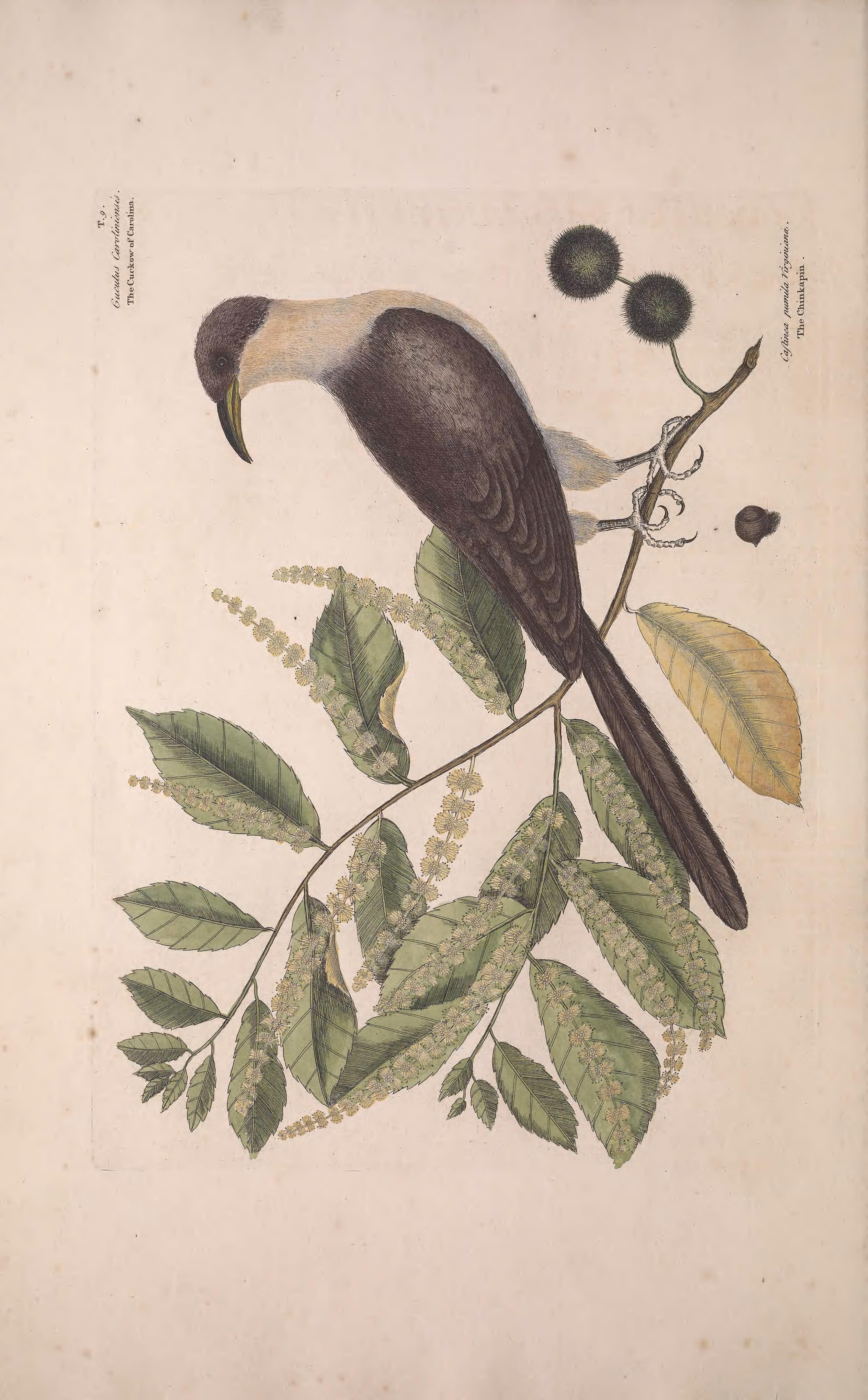
Yellow-billed Cuckoo
Coccyzus americanus
A summer resident that nests in Alabama. Found in all 67 counties, across 16 habitats.
- Here
- Summer
- Nesting
- Nests here
- Range
- All 67 counties
- Habitats
- 16
At a glance
- Group
- Birds
- Here
- Summer
- Nesting
- Nests here
- Range
- All 67 counties
- Habitats
- 16
- Habitat models
- Summer
Where it lives
The places its habitat model includes. It is not found everywhere a habitat occurs.
Habitats in Alabama 16
Each habitat page lists the plants and wildlife also found there.
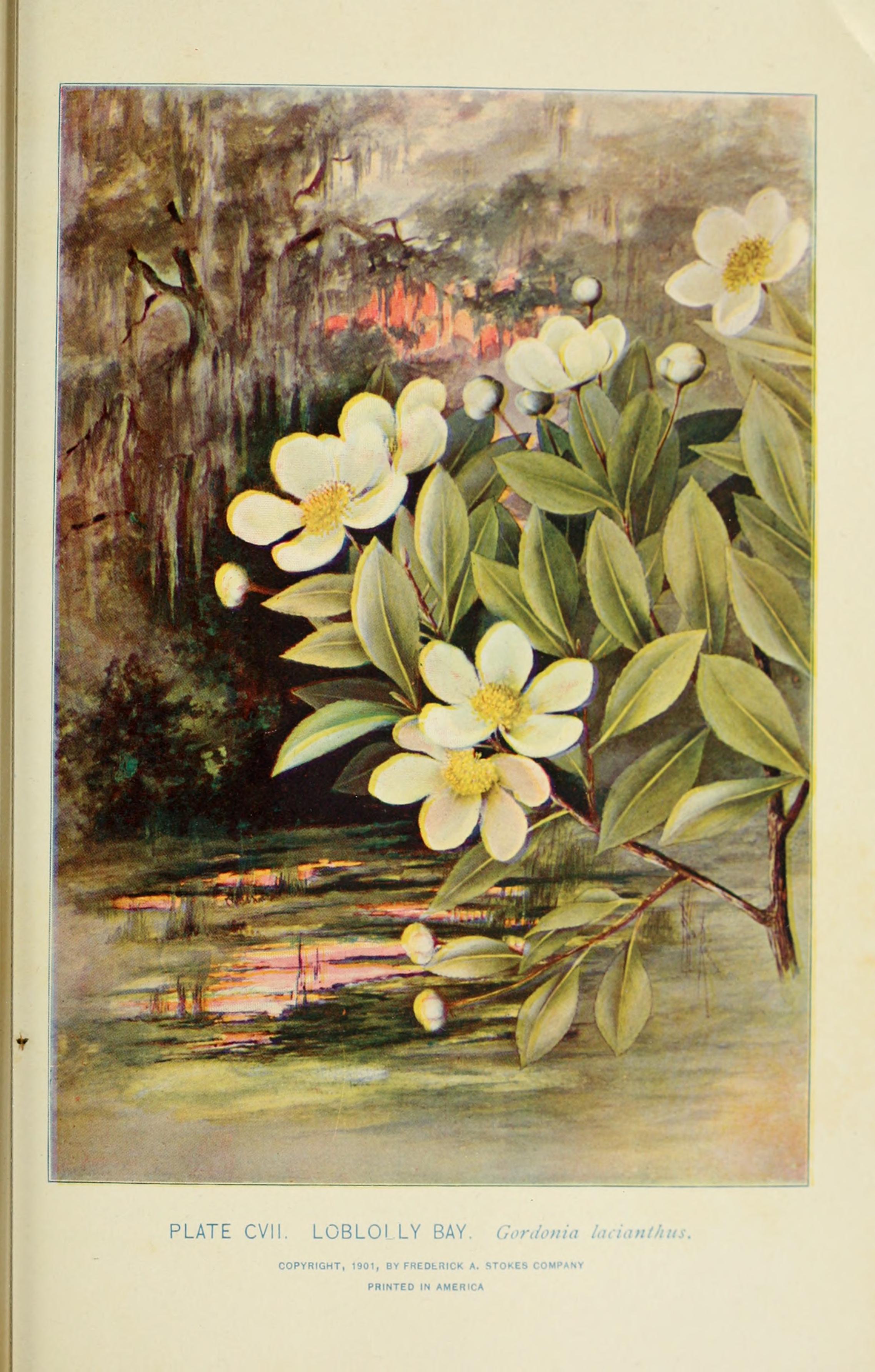
Dense, evergreen groves of live oak, magnolia and other hardwoods in the southern Coastal Plain, from dry oak domes to wet hydric hammocks and south Florida's tropical hammocks; salt-shaped maritime hammocks are maritime forests.
Disturbed and introduced wetlands
Wet ground taken over by weedy or introduced plants after disturbance, such as common reed, Chinese tallow or tamarisk stands; the upland counterpart is roadsides, fields and disturbed ground.
Floodplain and bottomland forests
Forests on low ground beside rivers and streams that flood from time to time.
Flat, poorly drained uplands and terraces with oaks, sweetgum and sometimes loblolly pine, wet in winter and dry in summer, but neither a floodplain nor a swamp.
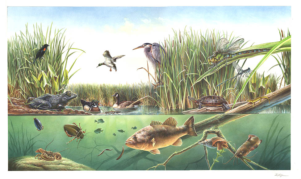
Streams, rivers and their banks
Flowing water and its banks, bars and rocky shoals.
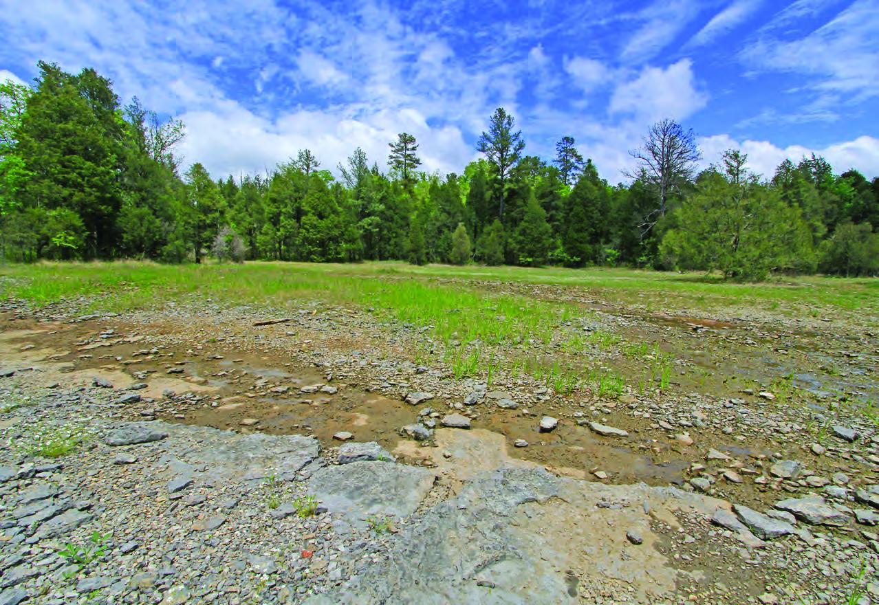
Glades, barrens and outcrops on limestone
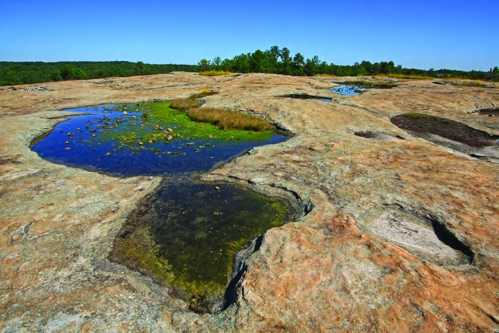
Granite and other acidic rock outcrops
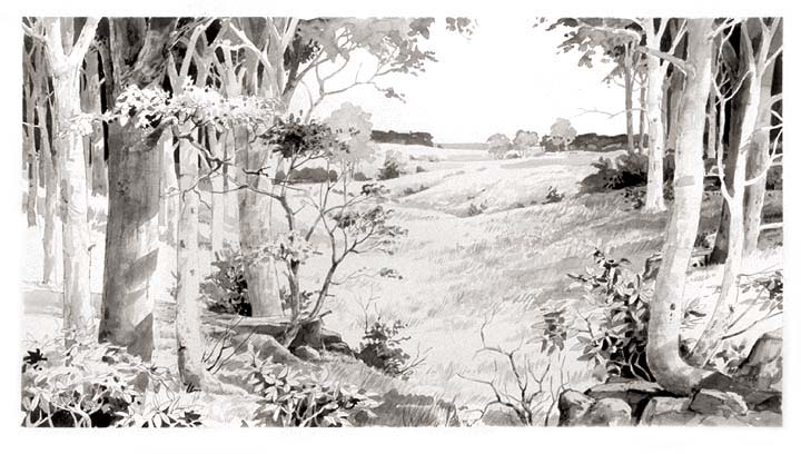
Forests and open woodlands on dry ridges and slopes, often oak or pine.
Salt-pruned forests and shrub thickets behind coastal dunes.
Forests between dry and moist, often oak-hickory on slopes.
Forests on moist but not wet ground, such as rich slopes and ravines.
Flat, sandy Coastal Plain pine woodlands, wetter than sandhills and denser than savannas.
Tree plantations and managed pine
Planted or intensively managed stands of pine or hardwoods grown for timber; a land use rather than a natural community.
Other habitats in its models (99)
Land cover, or classes with no habitat page in Alabama.
- Central and Southern Appalachian Northern Hardwood Forest Summer, only within 120 m of water.
- East Gulf Coastal Plain Northern Loess Plain Oak-Hickory Upland - Hardwood Modifier Summer, only within 120 m of water.
- Northeastern Interior Dry Oak Forest-Hardwood Modifier Summer, only within 120 m of water.
- East Gulf Coastal Plain Northern Loess Plain Oak-Hickory Upland - Juniper Modifier Summer, only within 120 m of water.
- Northeastern Interior Dry Oak Forest - Mixed Modifier Summer, only within 120 m of water.
- Southern and Central Appalachian Oak Forest - Xeric Summer, only within 120 m of water.
- Northeastern Interior Dry-Mesic Oak Forest Summer, only within 120 m of water.
- Ozark-Ouachita Dry-Mesic Oak Forest Summer, only within 120 m of water.
- Crosstimbers Oak Forest and Woodland Summer, only within 120 m of water.
- North-Central Interior Dry-Mesic Oak Forest and Woodland Summer, only within 120 m of water.
- North-Central Interior Dry Oak Forest and Woodland Summer, only within 120 m of water.
- Ouachita Montane Oak Forest Summer, only within 120 m of water.
- North-Central Interior Beech-Maple Forest Summer, only within 120 m of water.
- North-Central Interior Maple-Basswood Forest Summer, only within 120 m of water.
- Southern and Central Appalachian Oak Forest Summer, only within 120 m of water.
- Central and Southern Appalachian Montane Oak Forest Summer, only within 120 m of water.
- East Gulf Coastal Plain Northern Loess Bluff Forest Summer, only within 120 m of water.
- East Gulf Coastal Plain Southern Loess Bluff Forest Summer, only within 120 m of water.
- South Florida Hardwood Hammock Summer.
- Atlantic Coastal Plain Dry and Dry-Mesic Oak Forest Summer, only within 120 m of water.
- Southwest Florida Coastal Strand and Maritime Hammock Summer.
- Southeast Florida Coastal Strand and Maritime Hammock Summer.
- Central and South Texas Coastal Fringe Forest and Woodland Summer, only within 120 m of water.
- West Gulf Coastal Plain Chenier and Upper Texas Coastal Fringe Forest and Woodland Summer, only within 120 m of water.
- Mississippi River Alluvial Plain Dry-Mesic Loess Slope Forest Summer, only within 120 m of water.
- East-Central Texas Plains Post Oak Savanna and Woodland Summer, only within 120 m of water.
- East-Central Texas Plains Riparian Forest Summer.
- Ozark-Ouachita Dry Oak Woodland Summer, only within 120 m of water.
- Lower Mississippi River Dune Woodland and Forest Summer.
- Western Great Plains Wooded Draw and Ravine Summer, only within 120 m of water.
- Southern Crowley's Ridge Mesic Loess Slope Forest Summer, only within 120 m of water.
- West Gulf Coastal Plain Mesic Hardwood Forest Summer, only within 120 m of water.
- South-Central Interior / Upper Coastal Plain Flatwoods Summer, only within 120 m of water.
- Ozark-Ouachita Mesic Hardwood Forest Summer, only within 120 m of water.
- Atlantic Coastal Plain Central Maritime Forest Summer, only within 120 m of water.
- Atlantic Coastal Plain Southern Maritime Forest Summer, only within 120 m of water.
- East Gulf Coastal Plain Interior Shortleaf Pine-Oak Forest - Hardwood Modifier Summer, only within 120 m of water.
- East Gulf Coastal Plain Black Belt Calcareous Prairie and Woodland - Woodland Modifier Summer, only within 120 m of water.
- Southern Piedmont Dry Oak-(Pine) Forest - Loblolly Pine Modifier Summer, only within 120 m of water.
- Allegheny-Cumberland Dry Oak Forest and Woodland - Pine Modifier Summer, only within 120 m of water.
- Southern Ridge and Valley Dry Calcareous Forest - Pine modifier Summer, only within 120 m of water.
- East Gulf Coastal Plain Interior Shortleaf Pine-Oak Forest - Mixed Modifier Summer, only within 120 m of water.
- Southern Piedmont Dry Oak-(Pine) Forest - Mixed Modifier Summer, only within 120 m of water.
- Southern Piedmont Dry Oak-Heath Forest - Mixed Modifier Summer, only within 120 m of water.
- Northern Atlantic Coastal Plain Dry Hardwood Forest Summer, only within 120 m of water.
- Appalachian Shale Barrens Summer, only within 120 m of water.
- Ozark-Ouachita Shortleaf Pine-Oak Forest and Woodland Summer, only within 120 m of water.
- Central Appalachian Oak and Pine Forest Summer, only within 120 m of water.
- Appalachian Hemlock-Hardwood Forest Summer, only within 120 m of water.
- West Gulf Coastal Plain Pine-Hardwood Forest Summer, only within 120 m of water.
- Central Appalachian Pine-Oak Rocky Woodland Summer, only within 120 m of water.
- West Gulf Coastal Plain Sandhill Oak and Shortleaf Pine Forest and Woodland Summer, only within 120 m of water.
- Northern Crowley's Ridge Sand Forest Summer, only within 120 m of water.
- Southern and Central Appalachian Cove Forest Summer, only within 120 m of water.
- Atlantic Coastal Plain Mesic Hardwood and Mixed Forest Summer, only within 120 m of water.
- East Gulf Coastal Plain Interior Upland Longleaf Pine Woodland - Offsite Hardwood Modifier Summer, only within 120 m of water.
- Northeastern Interior Pine Barrens Summer, only within 120 m of water.
- East-Central Texas Plains Pine Forest and Woodland Summer, only within 120 m of water.
- Atlantic Coastal Plain Fall-line Sandhills Longleaf Pine Woodland - Offsite Hardwood Modifier Summer, only within 120 m of water.
- North-Central Oak Barrens Summer, only within 120 m of water.
- Southern Piedmont Glade and Barrens Summer, only within 120 m of water.
- Nashville Basin Limestone Glade Summer, only within 120 m of water.
- Central Appalachian Alkaline Glade and Woodland Summer, only within 120 m of water.
- Southern Coastal Plain Nonriverine Basin Swamp - Okefenokee Pine Modifier Summer.
- Southern Coastal Plain Nonriverine Basin Swamp - Okefenokee Clethra Modifier Summer.
- Atlantic Coastal Plain Peatland Pocosin Summer.
- West Gulf Coastal Plain Seepage Swamp and Baygall Summer.
- Atlantic Coastal Plain Streamhead Seepage Swamp - Pocosin - and Baygall Summer.
- Atlantic Coastal Plain Southern Tidal Wooded Swamp Summer.
- West Gulf Coastal Plain Near-Coast Large River Swamp Summer.
- South Florida Bayhead Swamp Summer.
- Northern Atlantic Coastal Plain Basin Swamp and Wet Hardwood Forest Summer.
- Atlantic Coastal Plain Nonriverine Swamp and Wet Hardwood Forest - Taxodium/Nyssa Modifier Summer.
- Atlantic Coastal Plain Nonriverine Swamp and Wet Hardwood Forest - Oak Dominated Modifier Summer.
- Atlantic Coastal Plain Clay-Based Carolina Bay Forested Wetland Summer.
- South Florida Dwarf Cypress Savanna Summer.
- Southern and Central Appalachian Bog and Fen Summer.
- Lower Mississippi River Bottomland Depressions - Forest Modifier Summer.
- South Florida Cypress Dome Summer.
- Mississippi River Bottomland Depression Summer.
- Atlantic Coastal Plain Blackwater Stream Floodplain Forest - Forest Modifier Summer.
- Central Appalachian Riparian - Forest Modifier Summer.
- Western Great Plains Floodplain Systems Summer.
- Eastern Great Plains Floodplain Systems Summer.
- Mississippi River Riparian Forest Summer.
- Mississippi River Low Floodplain (Bottomland) Forest Summer.
- West Gulf Coastal Plain Small Stream and River Forest Summer.
- West Gulf Coastal Plain Large River Floodplain Forest Summer.
- Atlantic Coastal Plain Small Brownwater River Floodplain Forest Summer.
- Atlantic Coastal Plain Small Blackwater River Floodplain Forest Summer.
- Red River Large Floodplain Forest Summer.
- Atlantic Coastal Plain Brownwater Stream Floodplain Forest Summer.
- Mississippi River Floodplain and Riparian Forest Summer.
- Ozark-Ouachita Riparian Summer.
- East Gulf Coastal Plain Near-Coast Pine Flatwoods - Offsite Hardwood Modifier Summer, only within 120 m of water.
- West Gulf Coastal Plain Pine-Hardwood Flatwoods Summer, only within 120 m of water.
- North-Central Interior Wet Flatwoods Summer.
- Lower Mississippi River Flatwoods Summer, only within 120 m of water.
- West Gulf Coastal Plain Nonriverine Wet Hardwood Flatwoods Summer.
Seasons in Alabama
- Summer: nests here, in all 67 counties.
Also found in this habitat
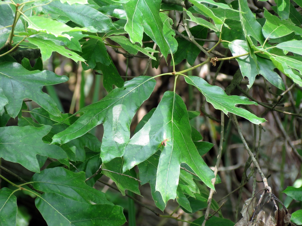
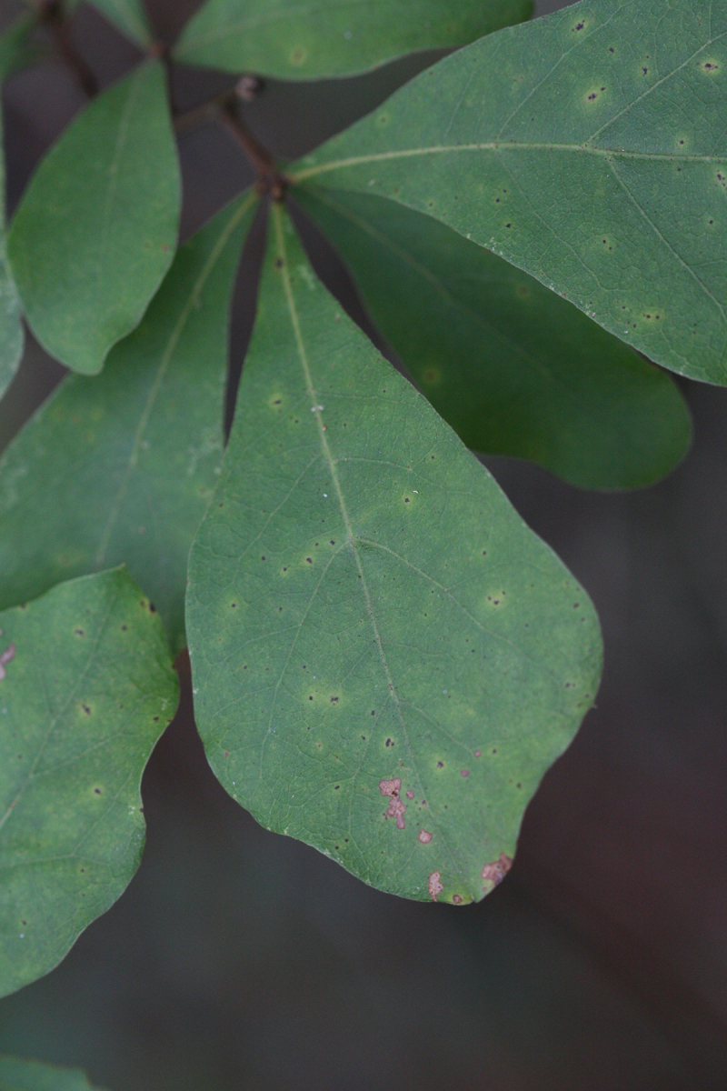
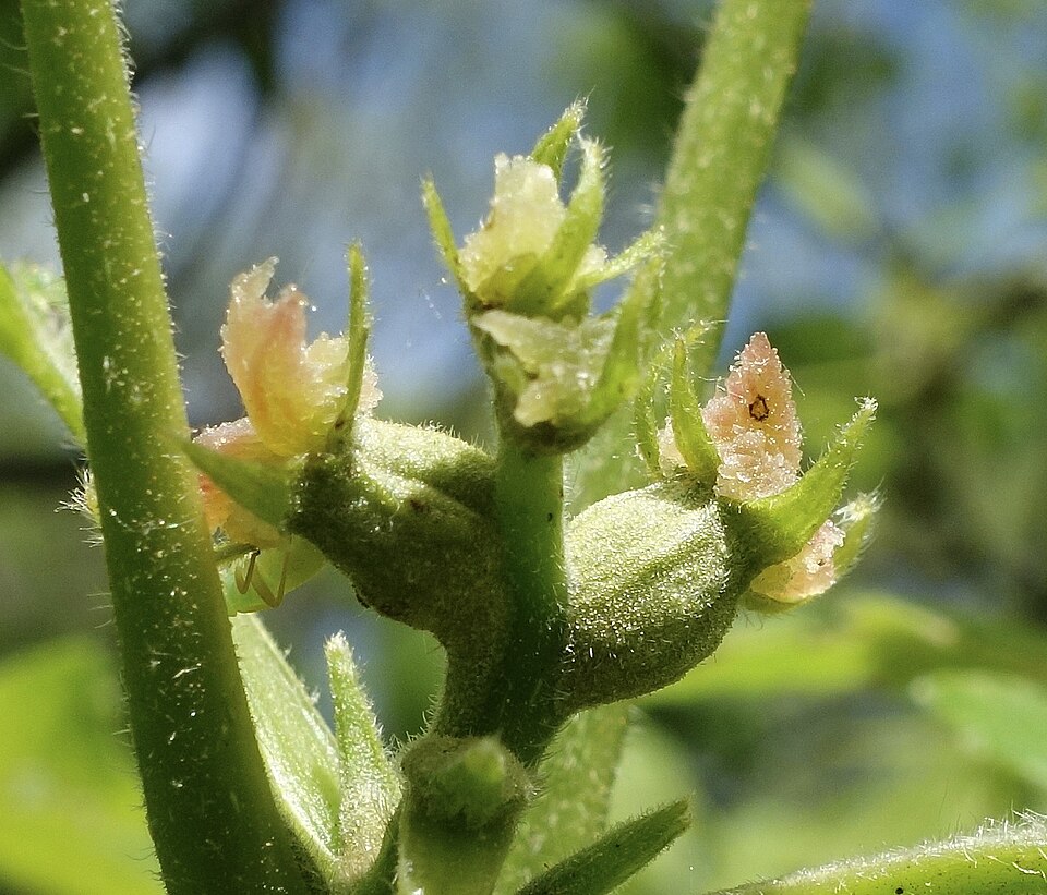
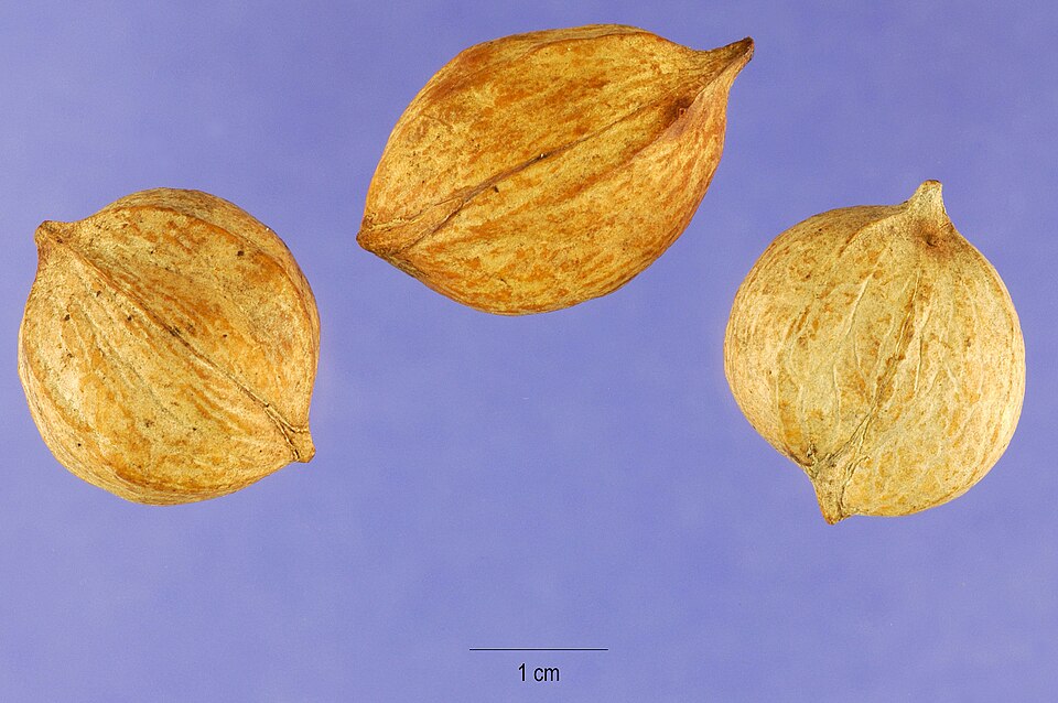
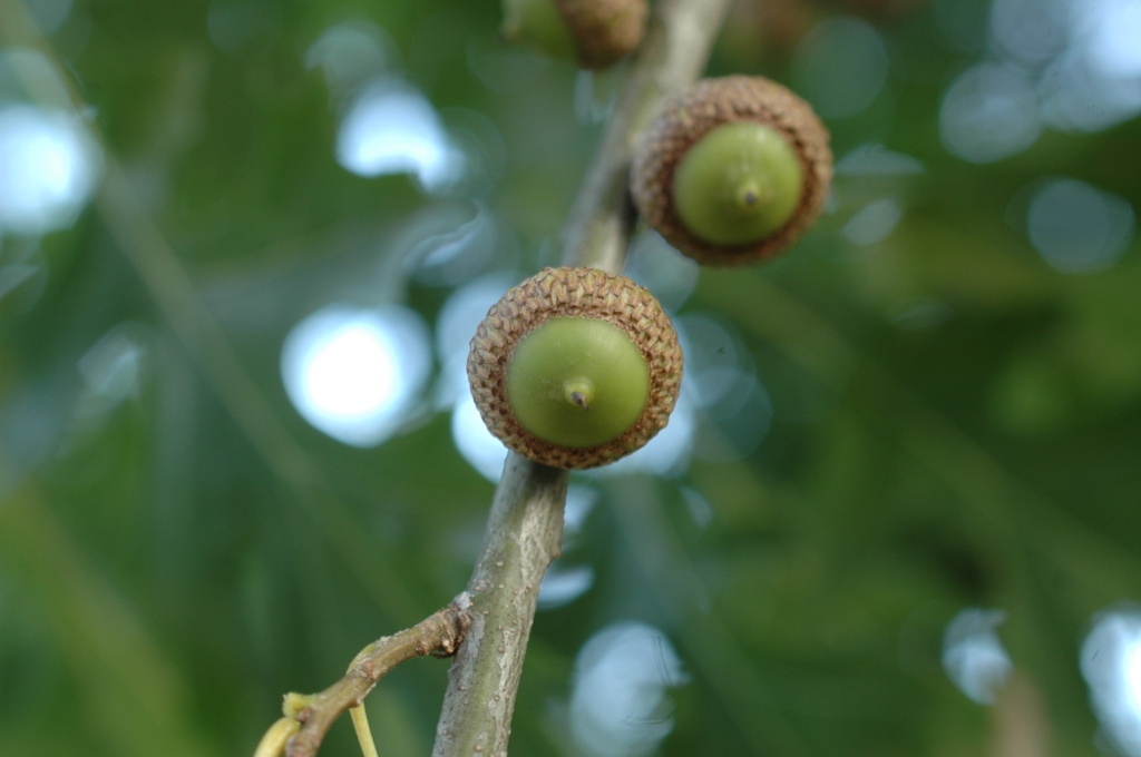
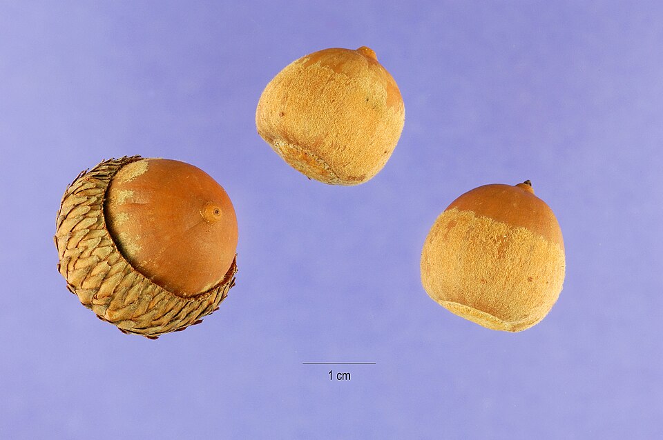
Plants 1017
Plants named in NatureServe descriptions of these habitats that grow in Alabama. Shared habitat, not food.
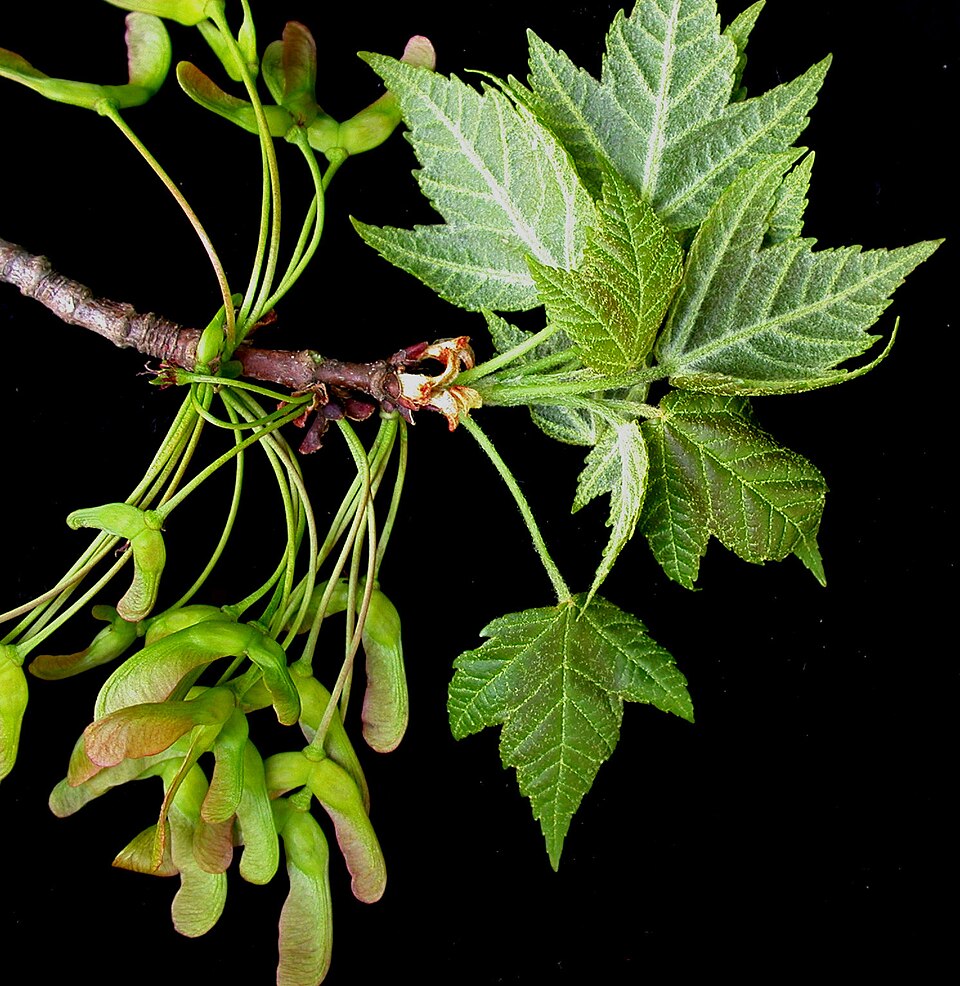
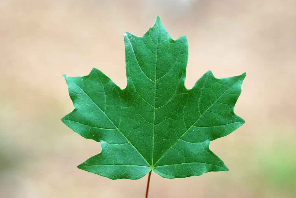
- Red MapleAcer rubrum
- Pignut HickoryCarya glabra
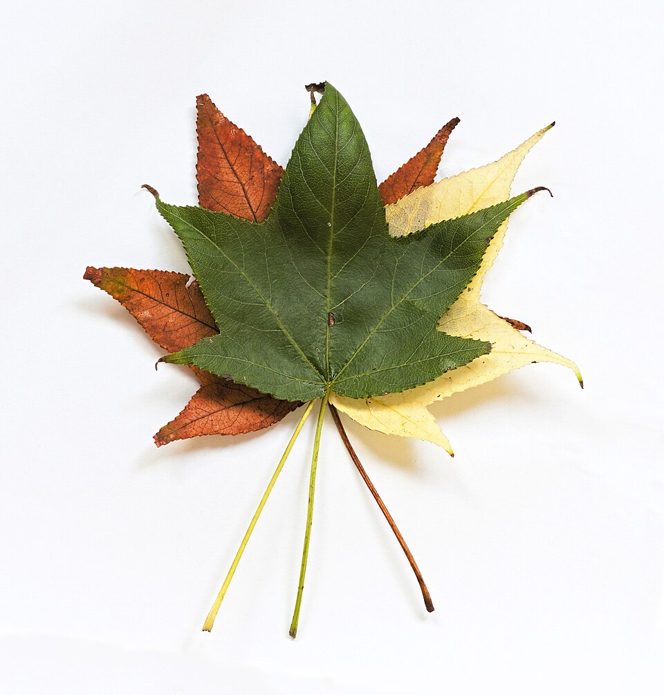
- SweetgumLiquidambar styraciflua
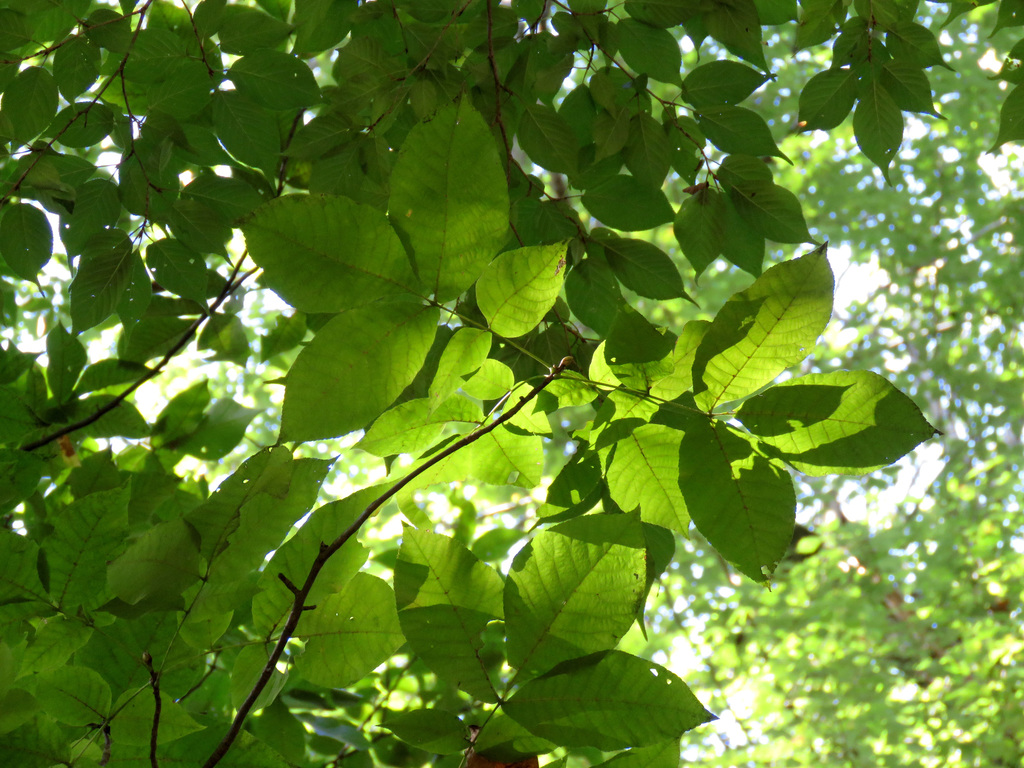
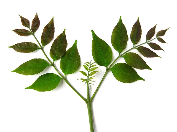
- White AshFraxinus americana
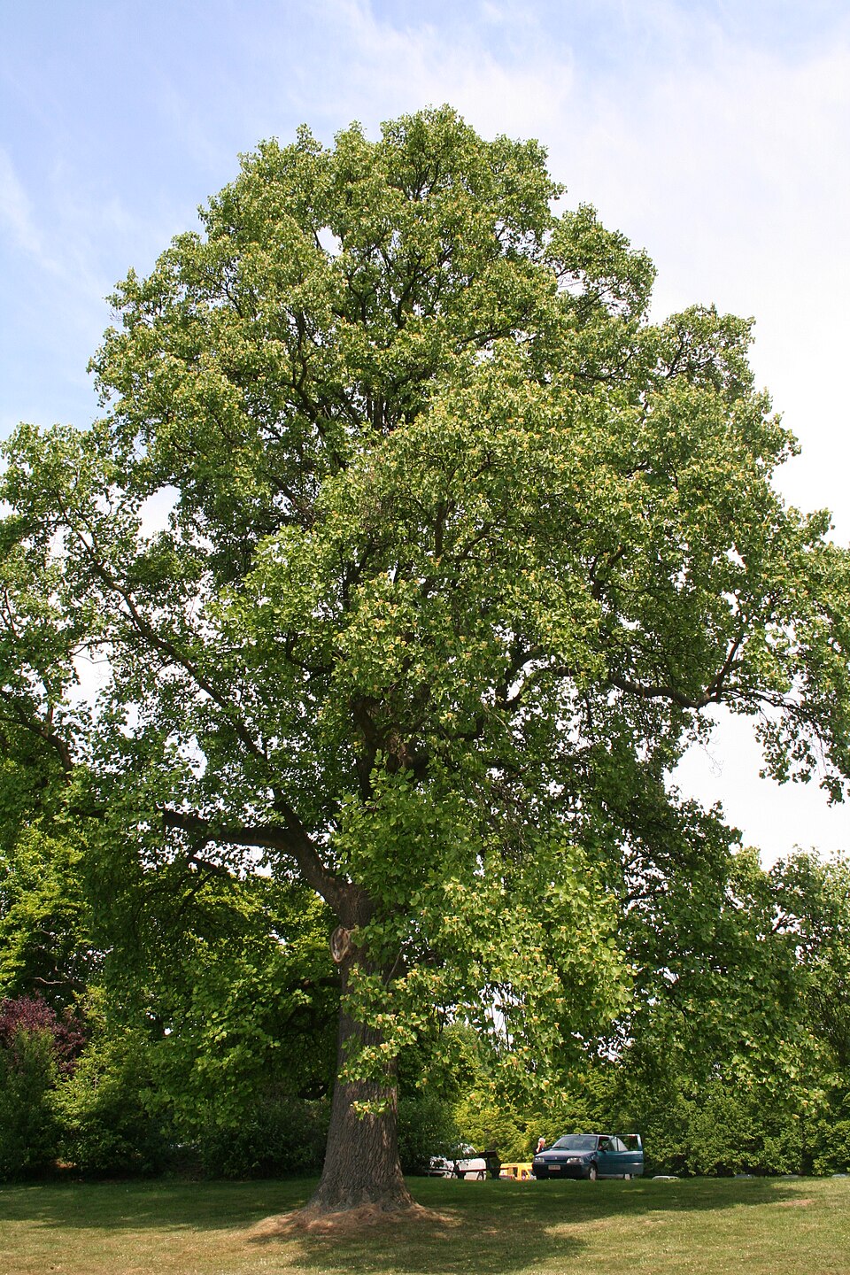
- TuliptreeLiriodendron tulipifera
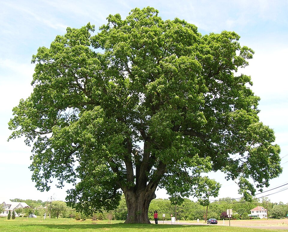
- White OakQuercus alba
- Poison-ivyToxicodendron radicans
- American BeechFagus grandifolia
- Post OakQuercus stellata
- Flowering DogwoodCornus florida
- Southern Red OakQuercus falcata
- Water OakQuercus nigra
- Shagbark HickoryCarya ovata
- Mockernut HickoryCarya tomentosa
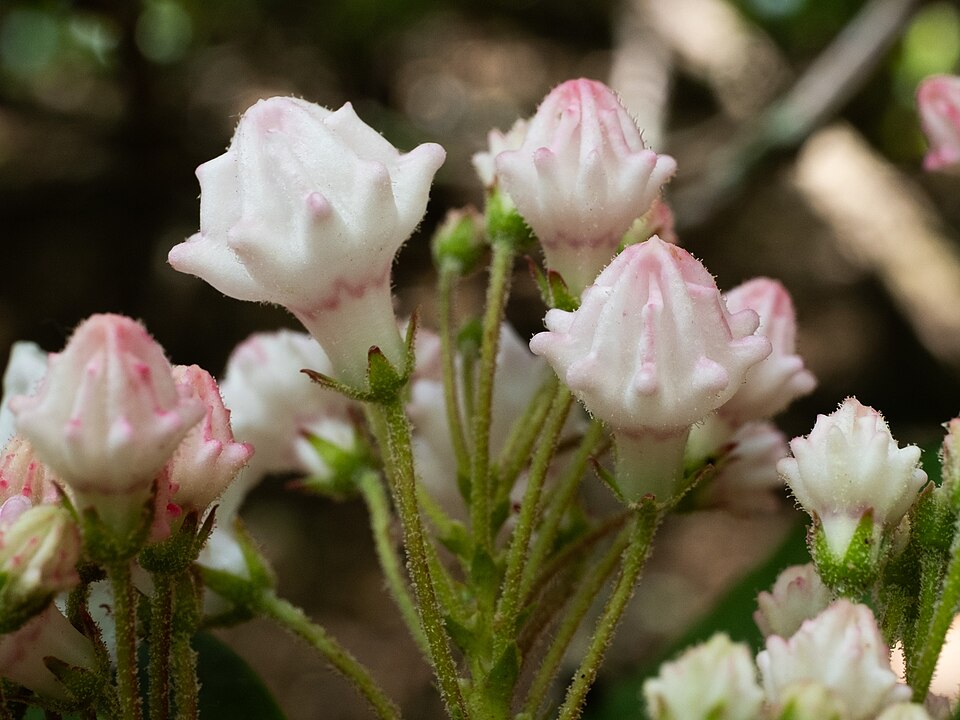
- Mountain LaurelKalmia latifolia
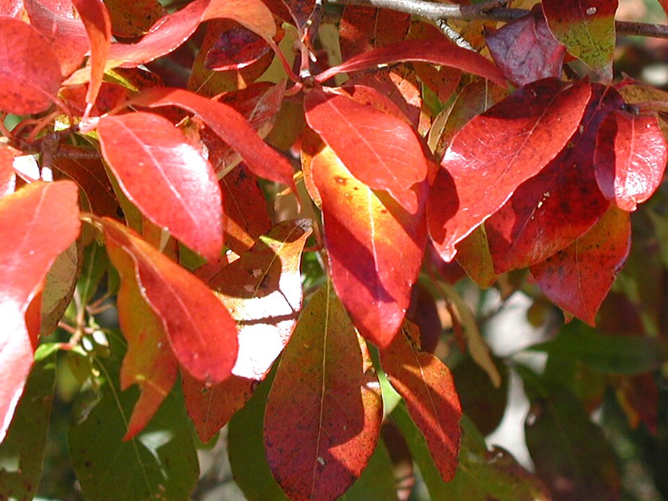
- BlackgumNyssa sylvatica
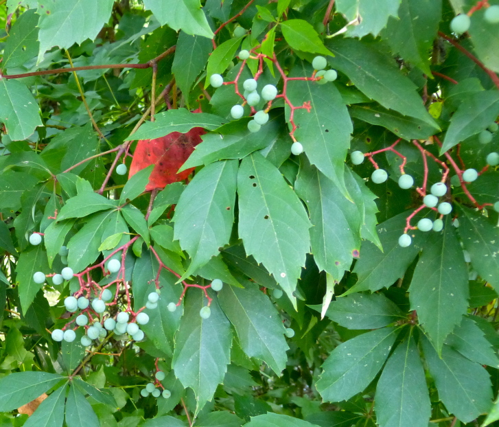
- Virginia CreeperParthenocissus quinquefolia
- Florida MapleAcer floridanum
- Eastern RedbudCercis canadensis
- Northern SpicebushLindera benzoin
- Loblolly PinePinus taeda
- Cherrybark OakQuercus pagoda
- Shumard OakQuercus shumardii
- Black OakQuercus velutina
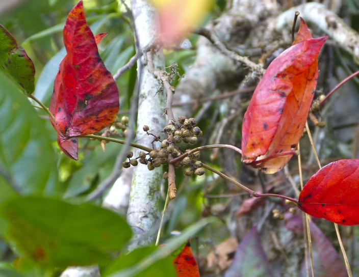
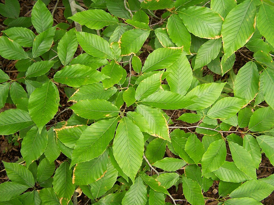
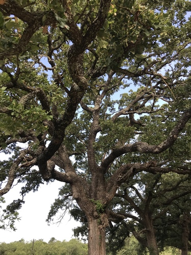
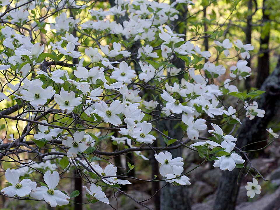
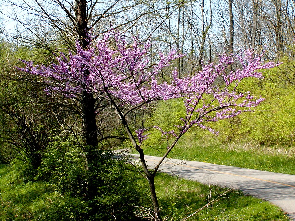
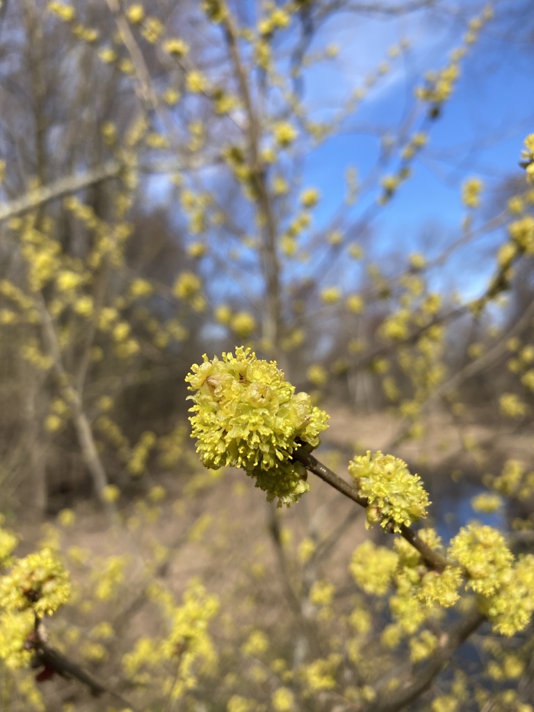
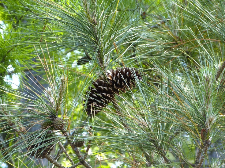
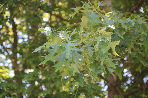
Wildlife 236
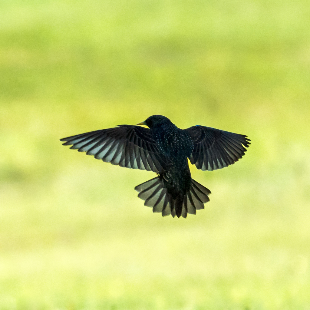
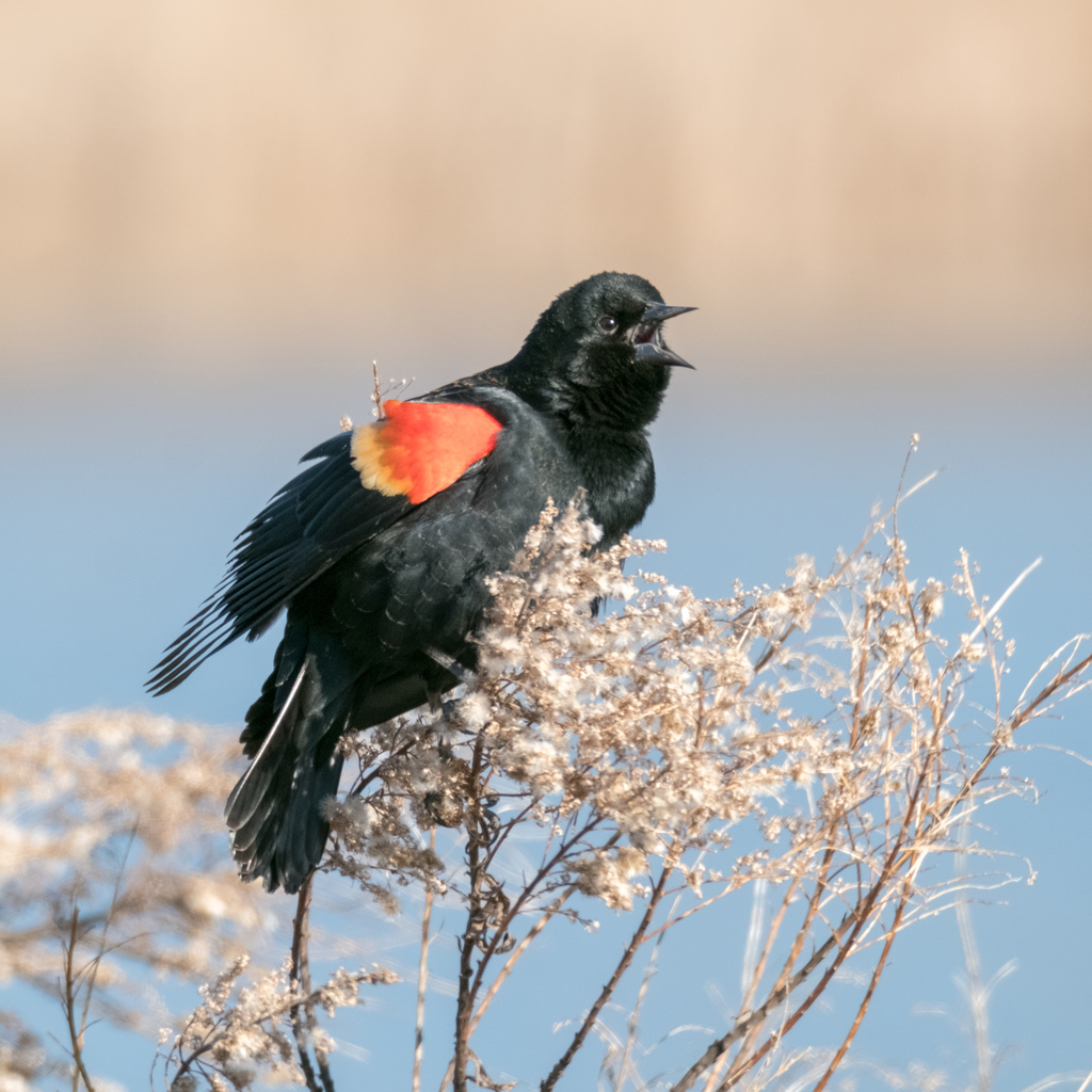
Other animals whose habitat models include the same habitats in Alabama. Not sighting records.
- American CrowCorvus brachyrhynchos
- American GoldfinchCarduelis tristis
- American RobinTurdus migratorius
- Common NighthawkChordeiles minor
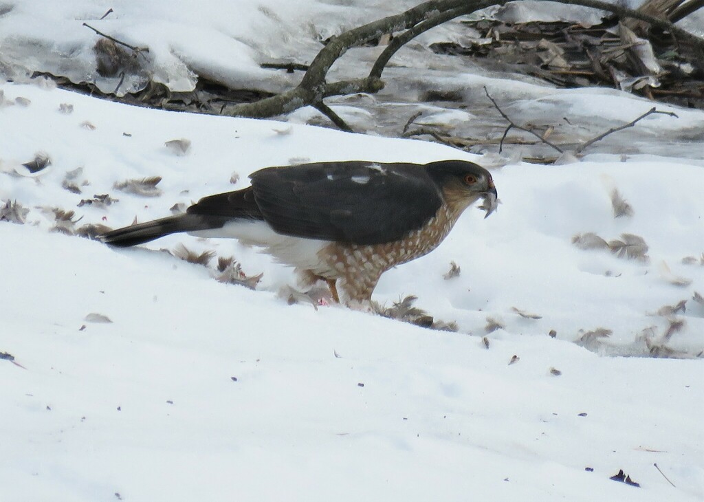
- Cooper's HawkAccipiter cooperii
- Eastern KingbirdTyrannus tyrannus
- European StarlingSturnus vulgaris
- Great Horned OwlBubo virginianus
- Red-winged BlackbirdAgelaius phoeniceus
- Sharp-shinned HawkAccipiter striatus
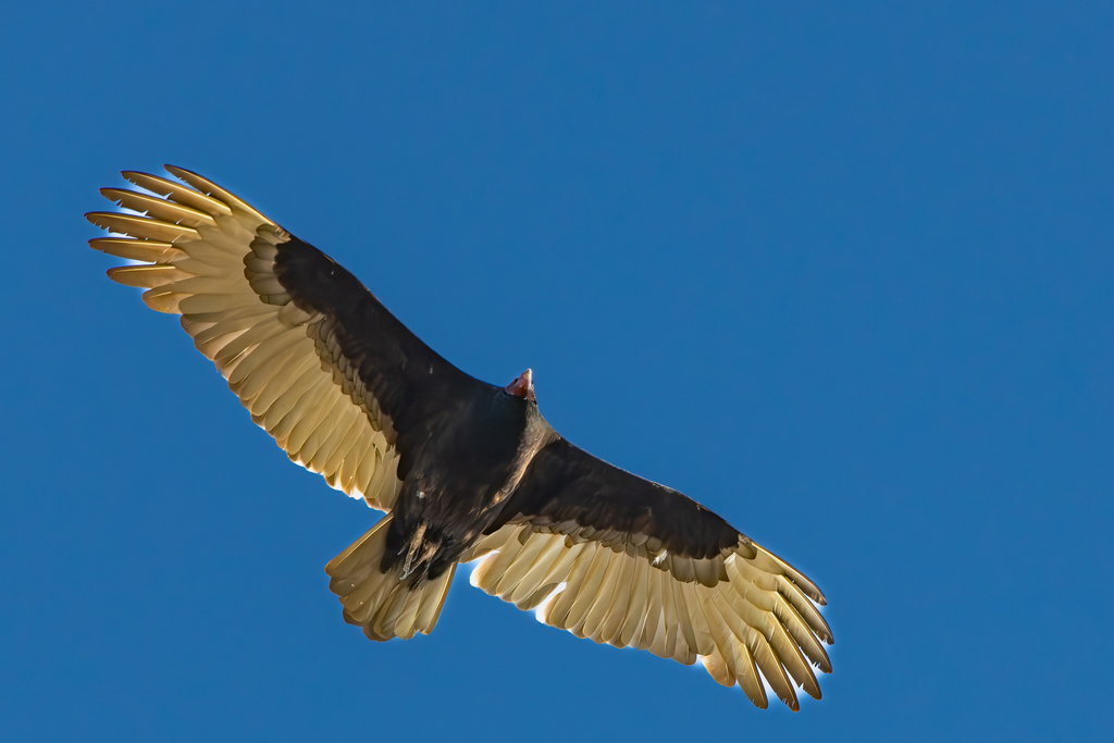
- Turkey VultureCathartes aura
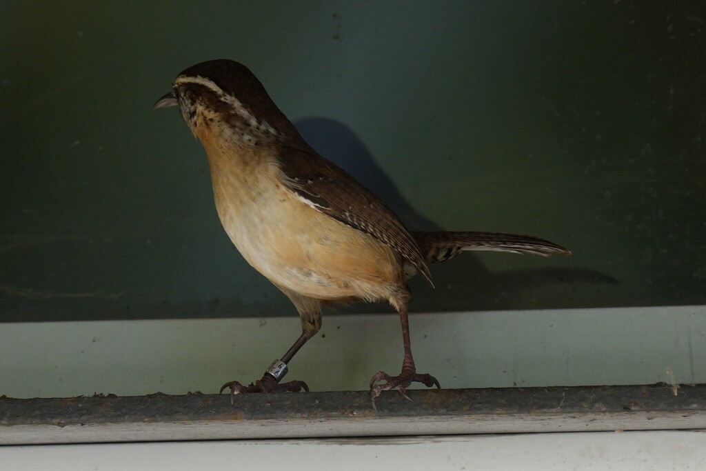
- Carolina WrenThryothorus ludovicianus
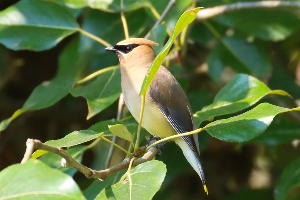
- Cedar WaxwingBombycilla cedrorum
- Chimney SwiftChaetura pelagica
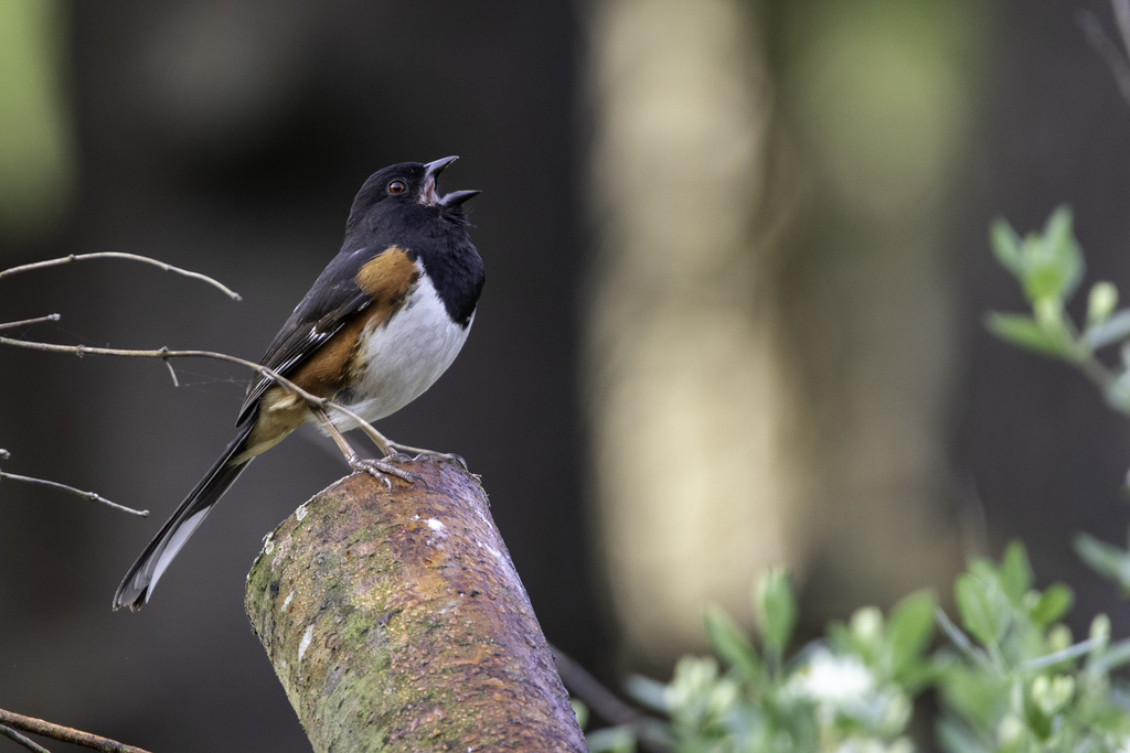
- Eastern TowheePipilo erythrophthalmus
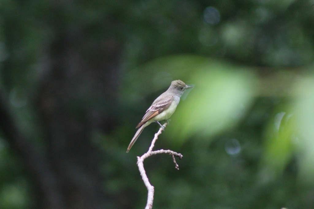
- Great Crested FlycatcherMyiarchus crinitus
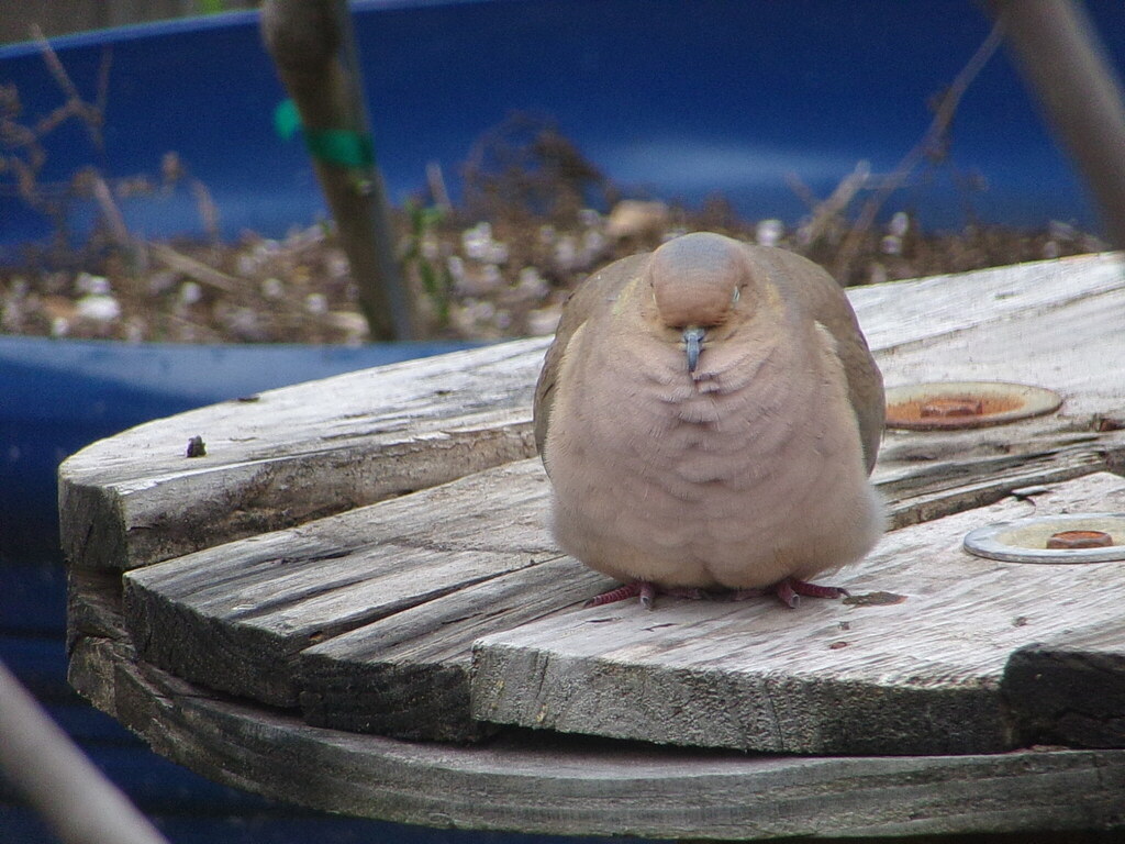
- Mourning DoveZenaida macroura
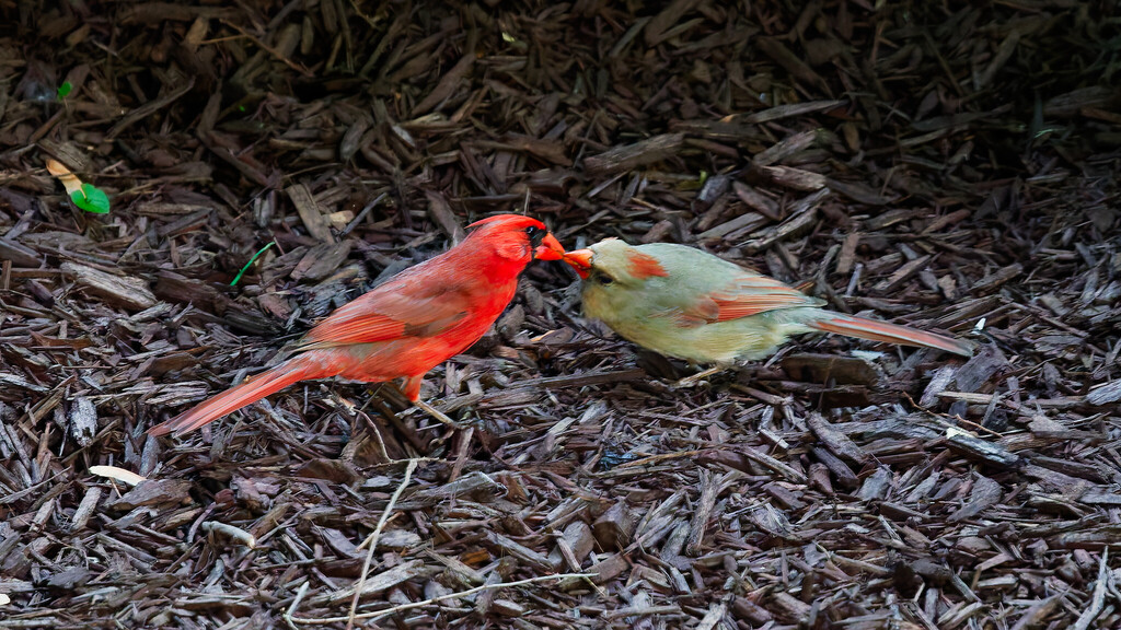
- Northern CardinalCardinalis cardinalis
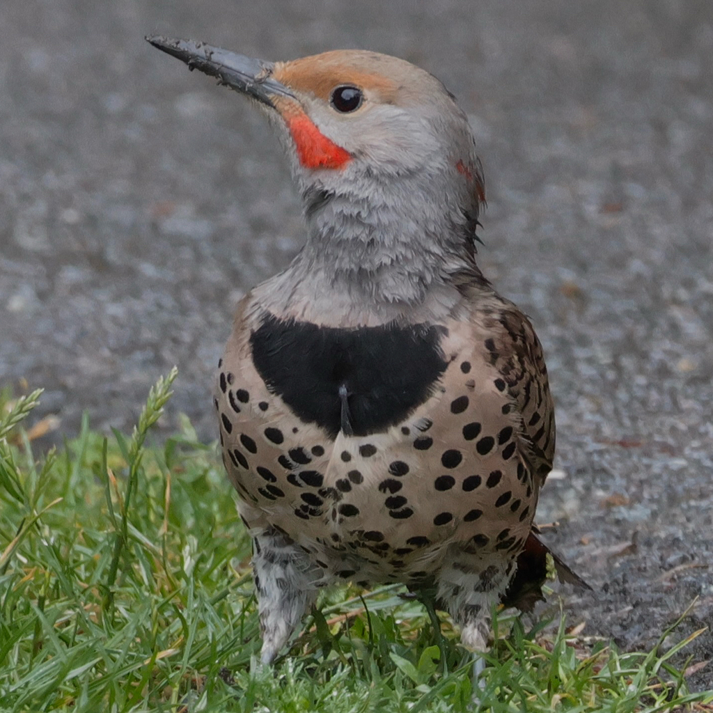
- Northern FlickerColaptes auratus
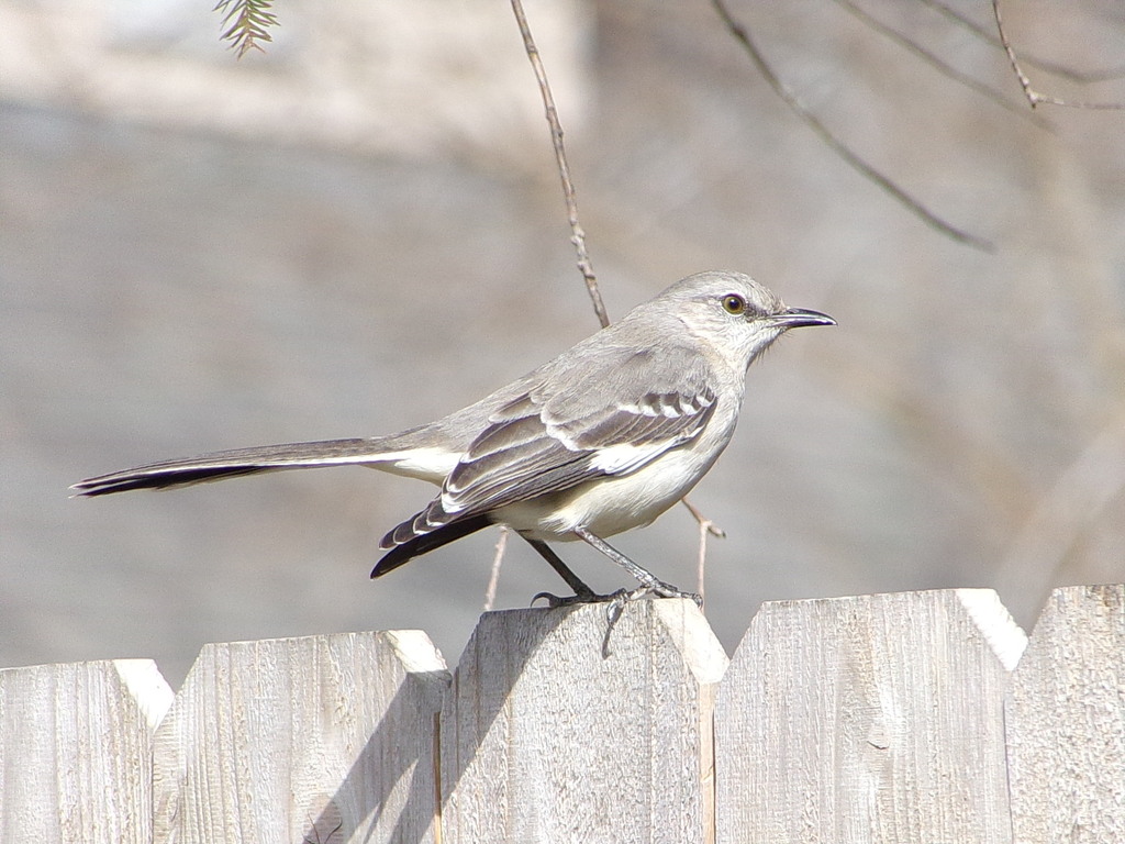
- Northern MockingbirdMimus polyglottos
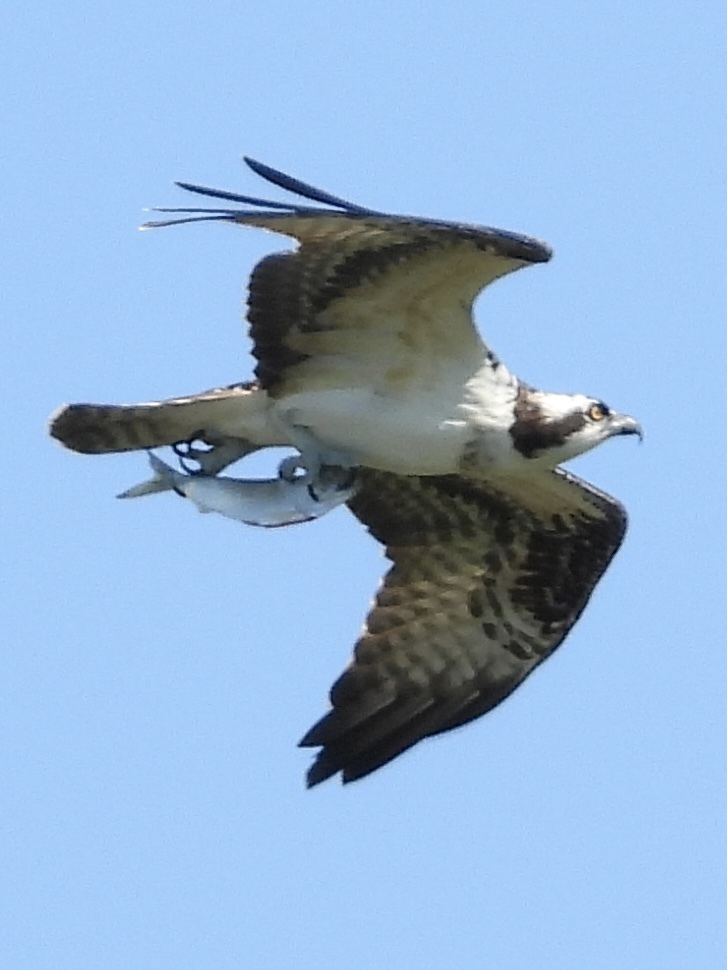
- OspreyPandion haliaetus
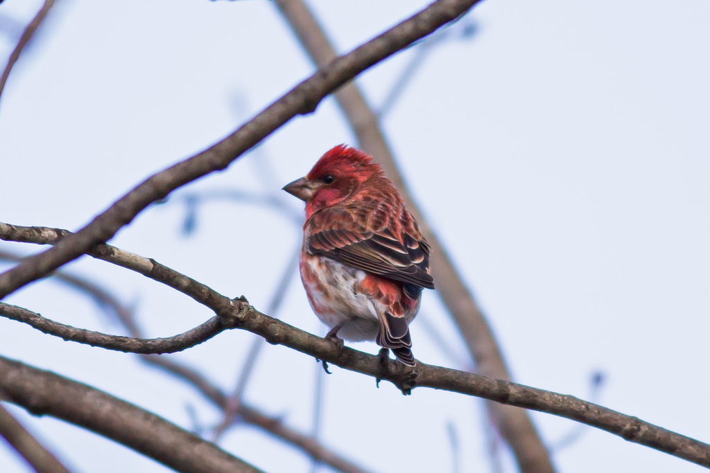
- Purple FinchCarpodacus purpureus
- Red-tailed HawkButeo jamaicensis
- Yellow-breasted ChatIcteria virens








NatureServe Explorer, CC BY 4.0. USGS Gap Analysis Project habitat models.
Sources
- USGS Gap Analysis Project habitat models (2001)
- USGS GAP summer habitat model for Yellow-billed Cuckoo Elevation up to 1,265 m
- USGS Gap Analysis Project range maps (2001), modeled by watershed; migratory gives no dates
- NatureServe Explorer (CC BY 4.0), habitat names
- US Census TIGER/Line counties
- Names follow the USGS Gap Analysis Project (2001)