

Bird
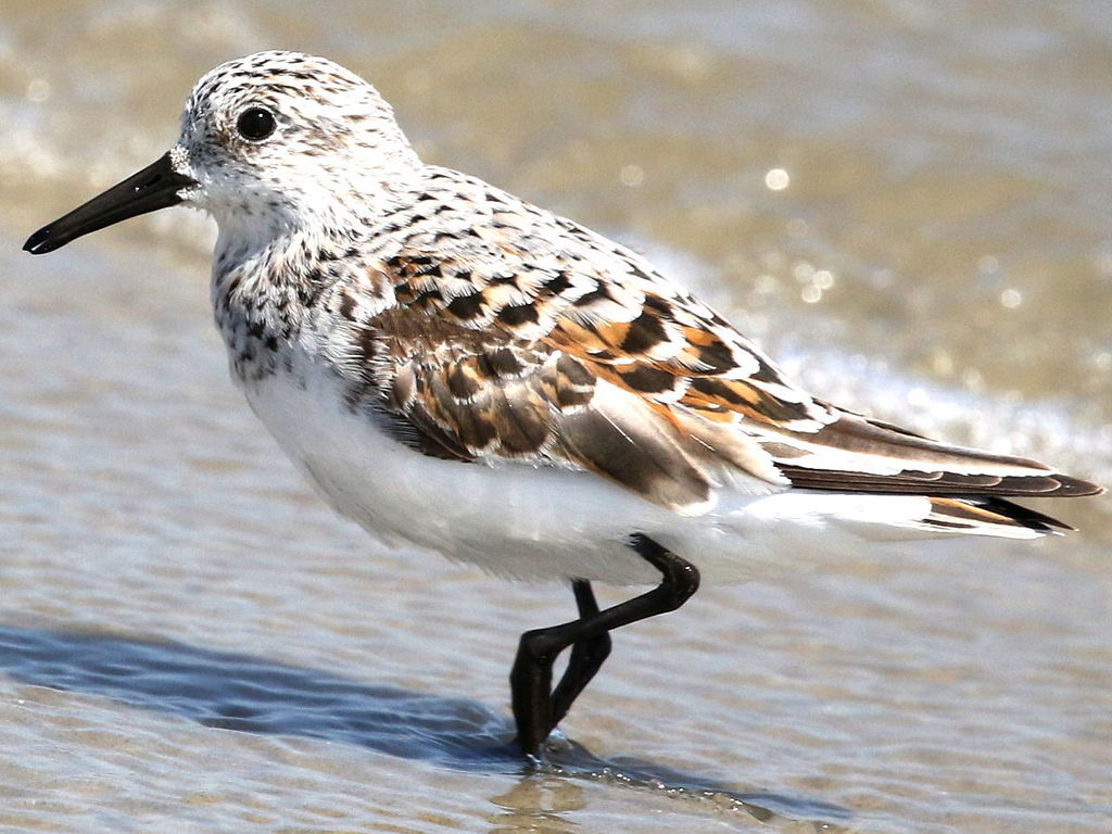
Sanderling
Calidris alba
A winter visitor to Alabama, found in 2 of 67 counties and 5 habitats.
- Here
- Winter
- Nesting
- Not known to nest here
- Range
- 2 of 67 counties
- Habitats
- 5
At a glance
- Group
- Birds
- Here
- Winter
- Nesting
- Not known to nest here
- Range
- 2 of 67 counties
- Habitats
- 5
- Habitat models
- Winter
Where it lives
The places its habitat model includes. It is not found everywhere a habitat occurs.
Habitats in Alabama 5
Each habitat page lists the plants and wildlife also found there.
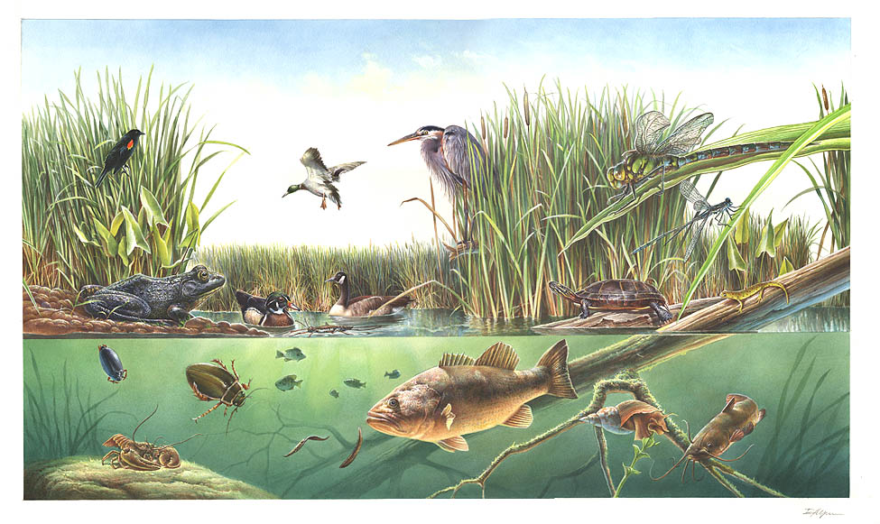
Open sand of beaches, dunes and the hollows between them.
Coastal tidal marshes (salinity not stated)
Tidal marshes of the Atlantic and Gulf coasts where the source does not say whether the water is fresh, brackish or salt. A stated salinity files the marsh under freshwater tidal marshes or salt and brackish marshes instead.
Coastal marshes flooded by salty or brackish tides.
Salt and brackish open water of sounds, bays and estuaries, with the mud and sand flats and seagrass beds that tides cover and uncover; the vegetated marsh is salt and brackish marshes.
Other habitats in its models (14)
Land cover, or classes with no habitat page in Alabama.
- Atlantic Coastal Plain Southern Beach Winter.
- Unconsolidated Shore (Lake/River/Pond) Winter.
- Unconsolidated Shore Winter.
- Upper Texas Coast Beach Winter.
- Louisiana Beach Winter.
- Southeast Florida Beach Winter.
- South Florida Shell Hash Beach Winter.
- Atlantic Coastal Plain Sea Island Beach Winter.
- Southwest Florida Beach Winter.
- Texas Coastal Bend Beach Winter.
- Atlantic Coastal Plain Xeric River Dune Winter.
- Atlantic Coastal Plain Central Salt and Brackish Tidal Marsh Winter.
- Atlantic Coastal Plain Indian River Lagoon Tidal Marsh Winter.
- Florida Big Bend Salt-Brackish Tidal Marsh Winter.
Seasons in Alabama
- Winter: does not nest here, in 2 of 67 counties.
Also found in this habitat
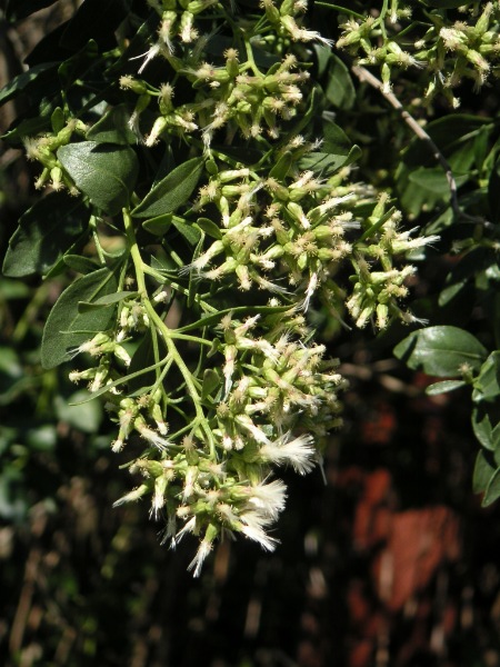
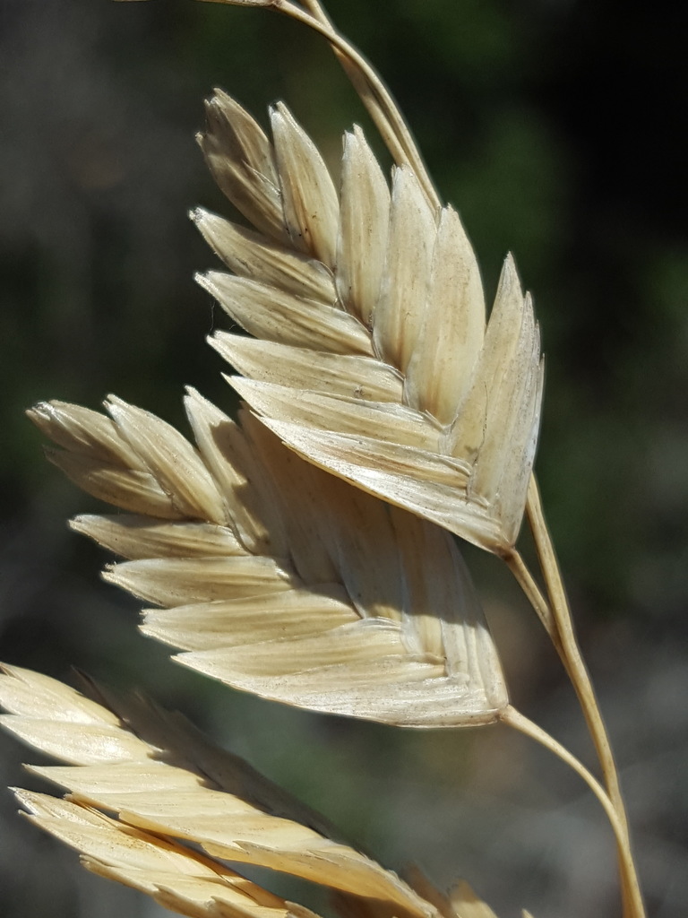
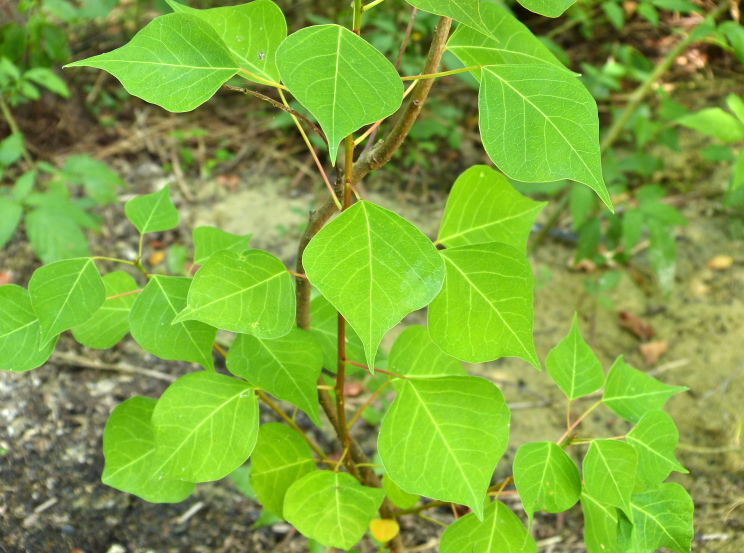
Plants 23
Plants named in NatureServe descriptions of these habitats that grow in Alabama. Shared habitat, not food.
- Groundsel-treeBaccharis halimifolia
- Gulf Coast Sea RocketCakile constricta
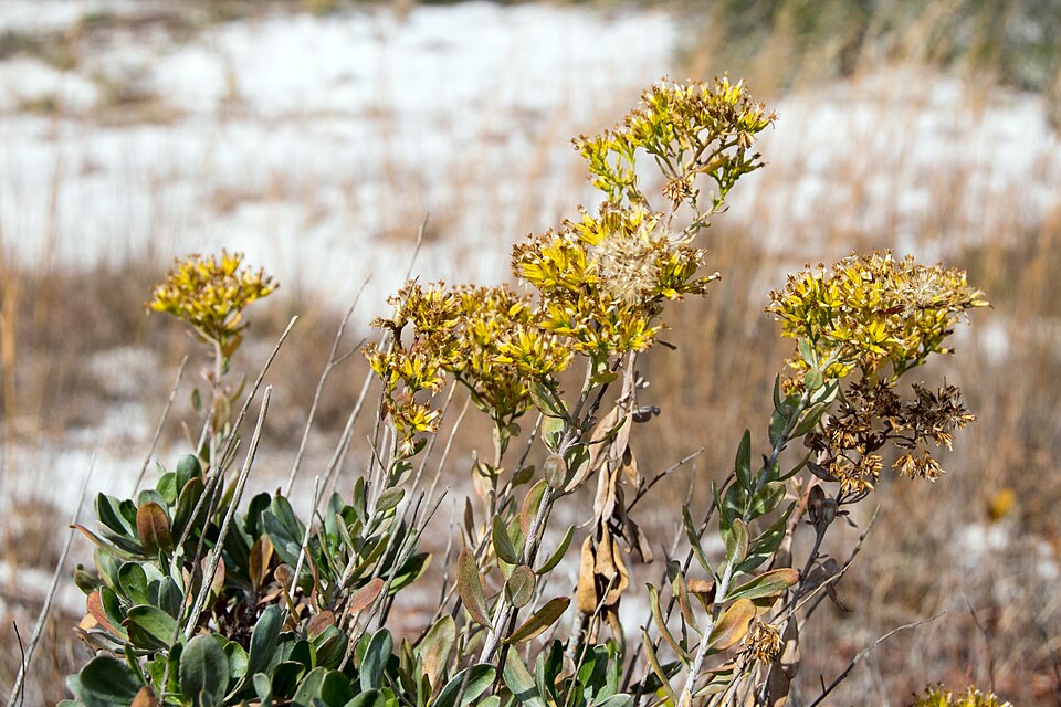
- Woody GoldenrodChrysoma pauciflosculosa
- Seashore SaltgrassDistichlis spicata
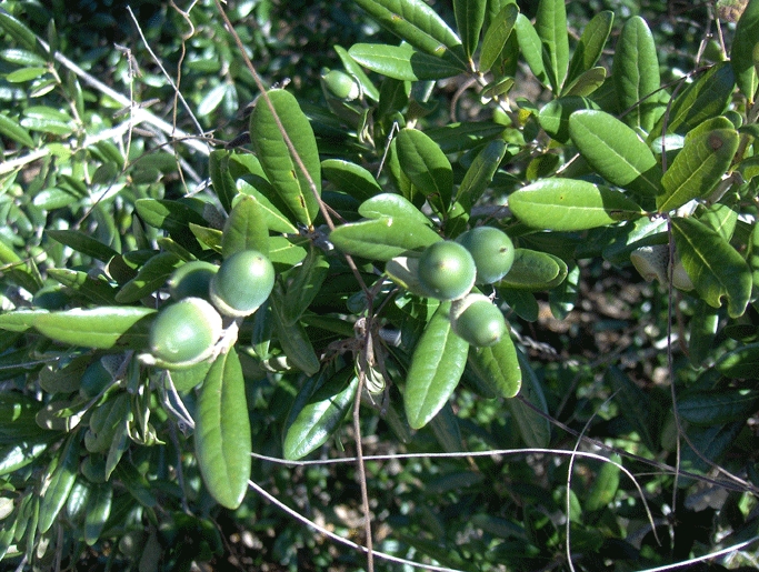
- Yaupon HollyIlex vomitoria
- Dune Marsh-elderIva imbricata
- Black NeedlerushJuncus roemerianus
- Common WaxmyrtleMorella cerifera
- Panicum amarum var. amarulumPanicum amarum var. amarulum
- SwitchgrassPanicum virgatum
- Sand Live OakQuercus geminata
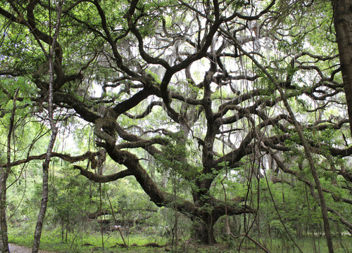
- Live OakQuercus virginiana
- Gulf BluestemSchizachyrium maritimum
- Olney's ThreesquareSchoenoplectus americanus
- Common Three Square BulrushSchoenoplectus pungens
- Serenoa repensSerenoa repens
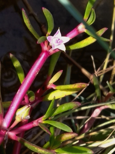
- Shoreline Sea-purslaneSesuvium portulacastrum
- Saltmarsh CordgrassSporobolus alterniflorus
- Saltmeadow CordgrassSporobolus pumilus
- Seashore DropseedSporobolus virginicus
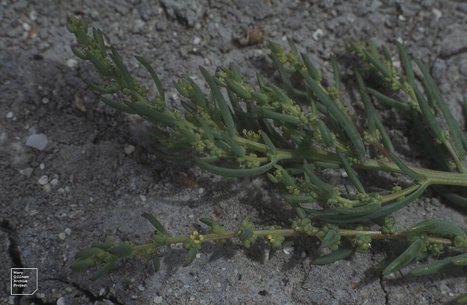
- Annual Sea-bliteSuaeda linearis
- Sea OatsUniola paniculata
- Chinese Tallow-treeTriadica sebifera
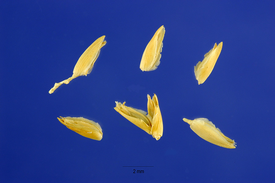
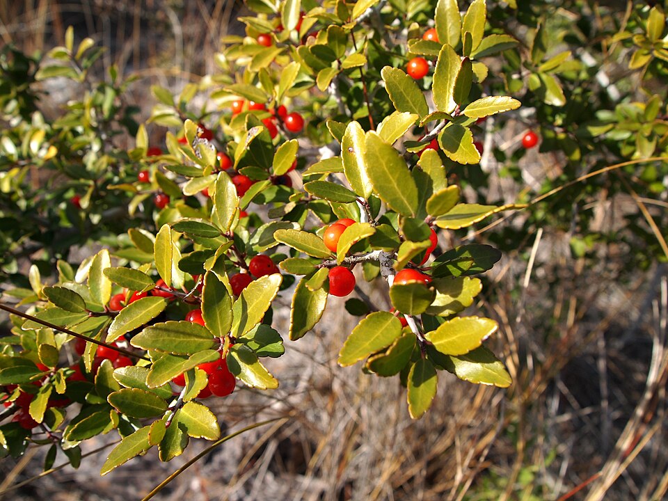
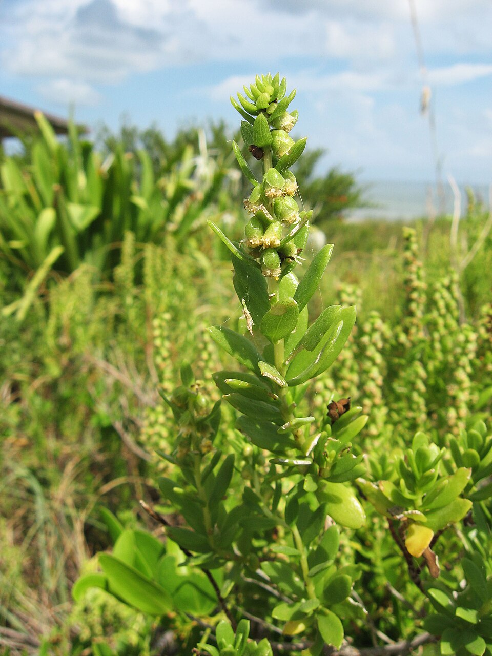

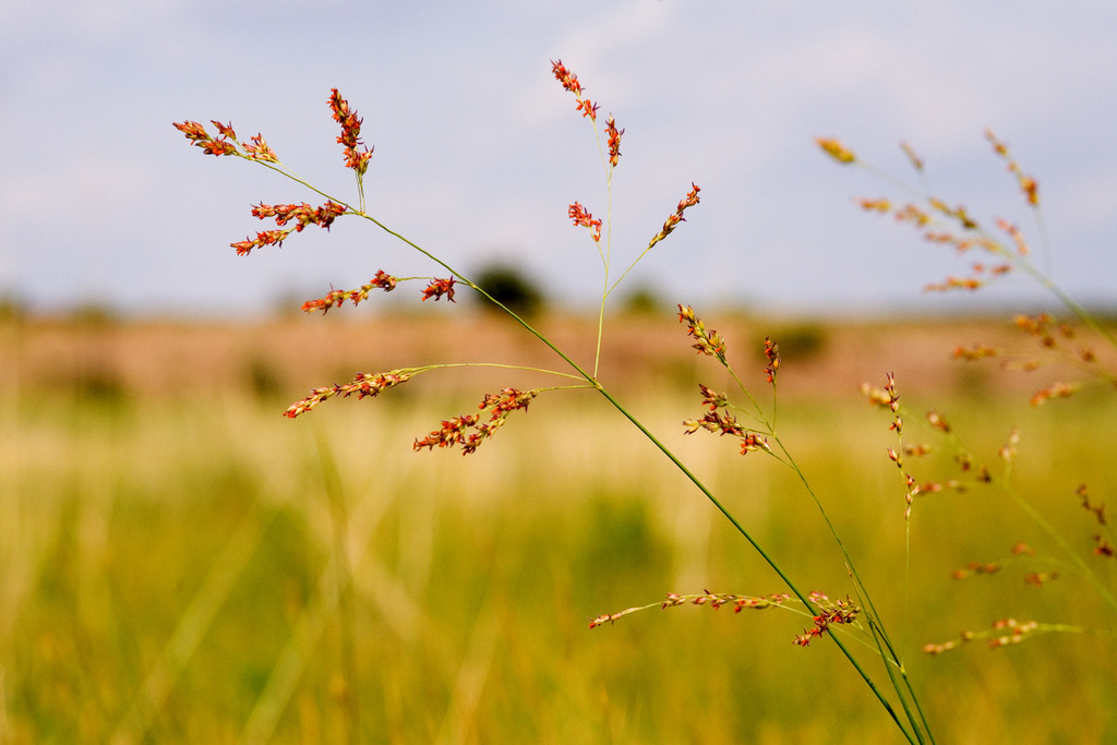
Wildlife 166
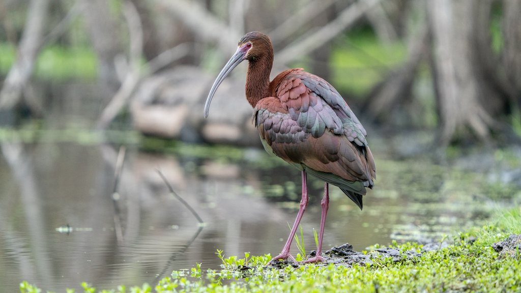
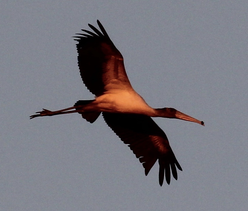
Other animals whose habitat models include the same habitats in Alabama. Not sighting records.
- White-faced IbisPlegadis chihi
- Wood StorkMycteria americana
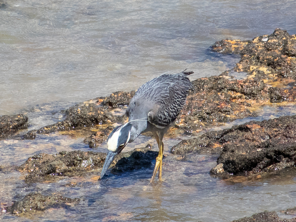
- Yellow-crowned Night-heronNyctanassa violacea
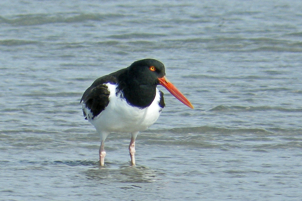
- American OystercatcherHaematopus palliatus
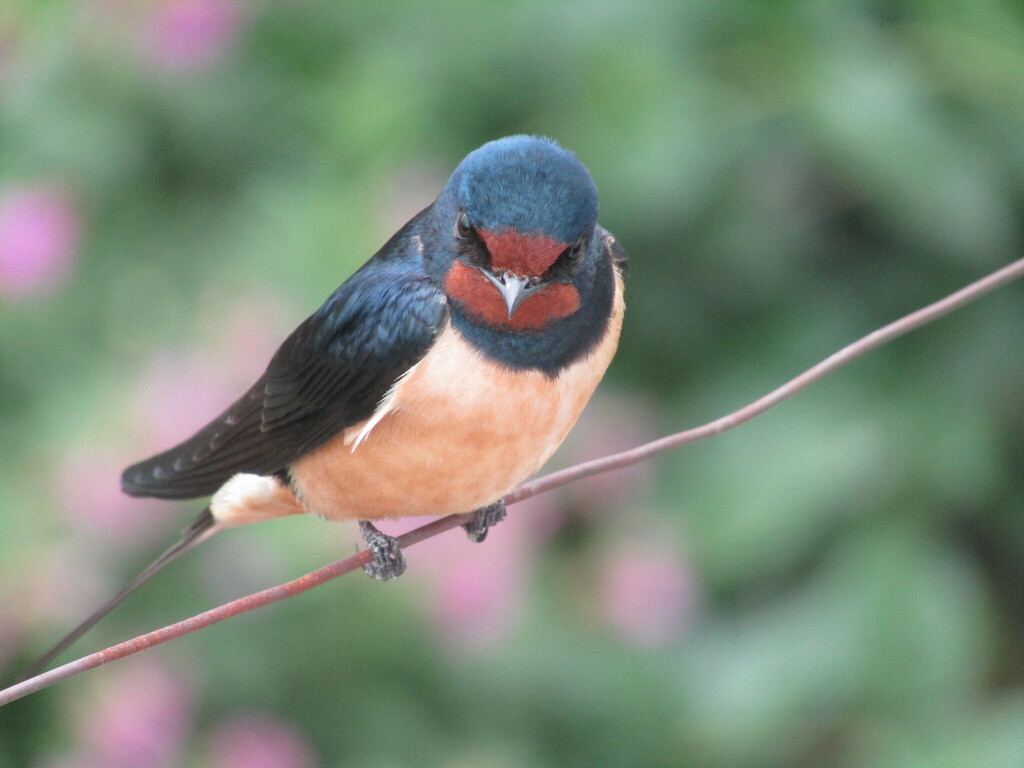
- Barn SwallowHirundo rustica
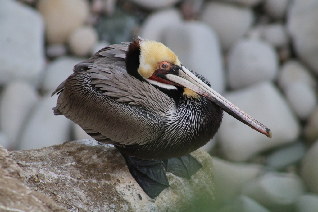
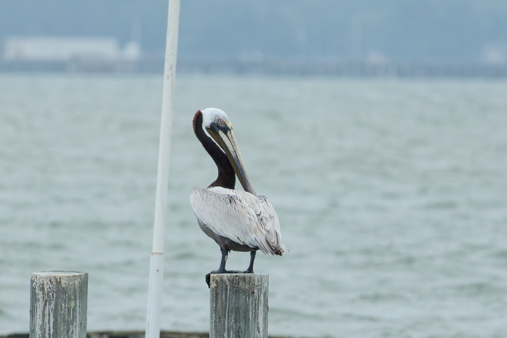
- Brown PelicanPelecanus occidentalis
- Chimney SwiftChaetura pelagica
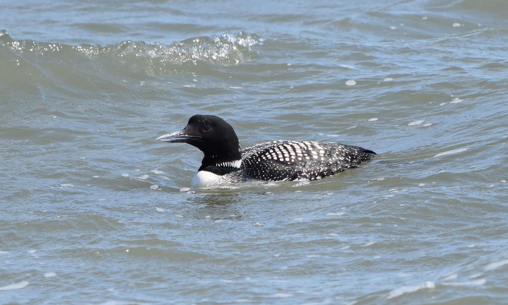
- Common LoonGavia immer
- Eastern Brown PelicanPelecanus occidentalis carolinensis
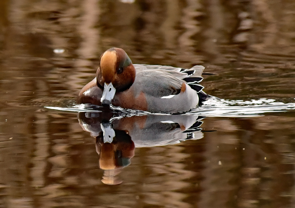
- Eurasian WigeonAnas penelope
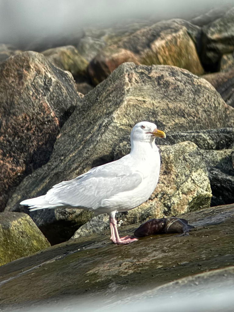
- Glaucous GullLarus hyperboreus
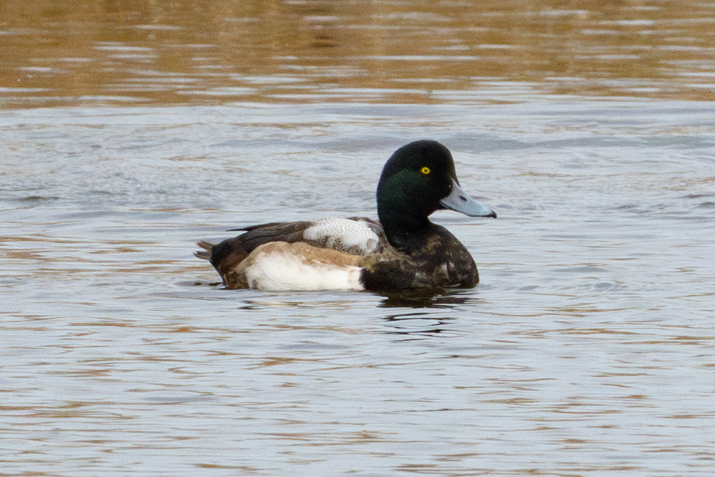
- Greater ScaupAythya marila
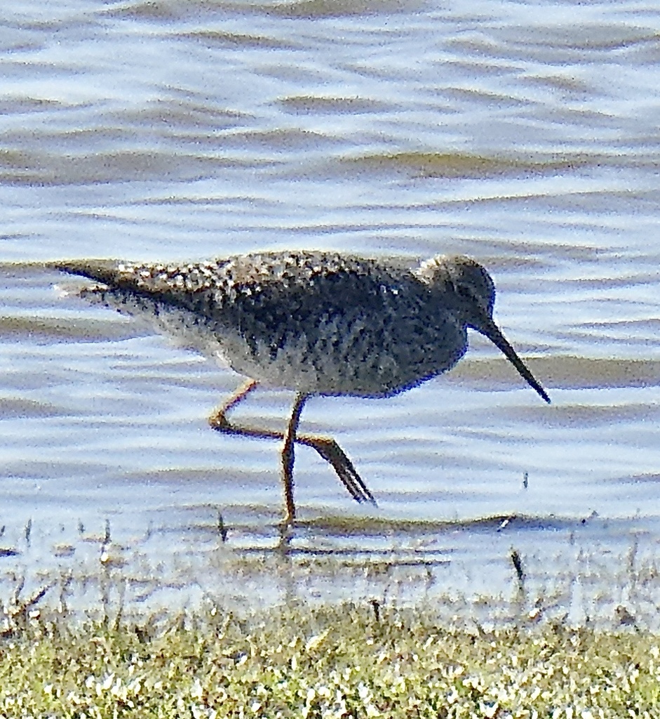
- Greater YellowlegsTringa melanoleuca
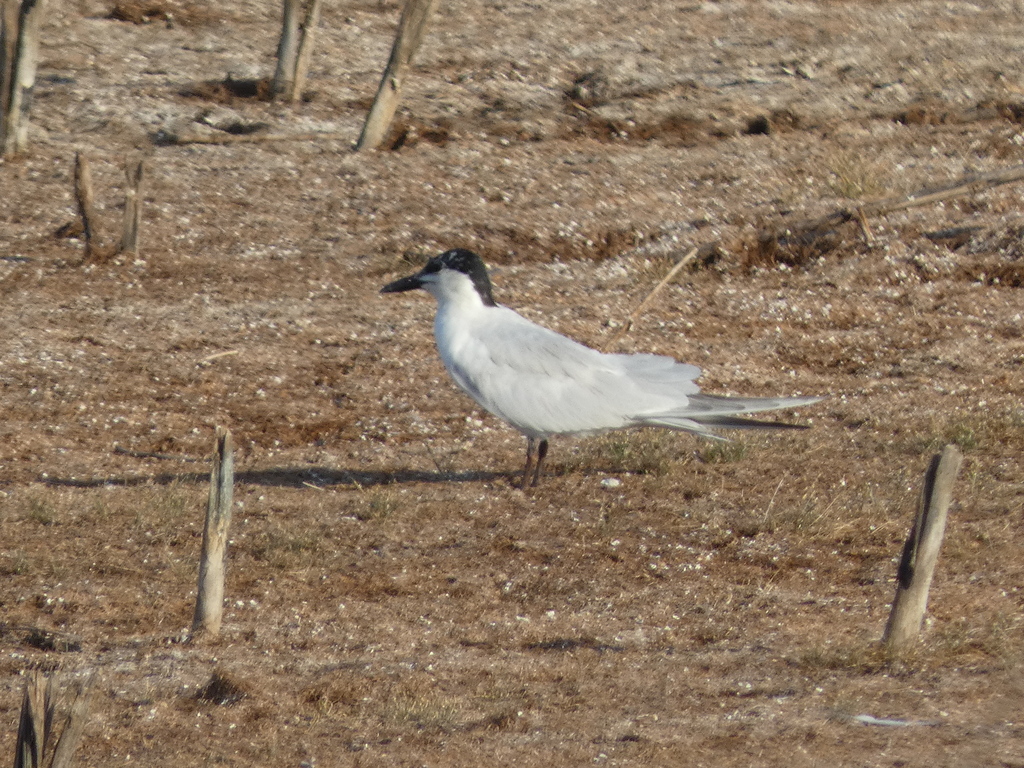
- Gull-billed TernGelochelidon nilotica
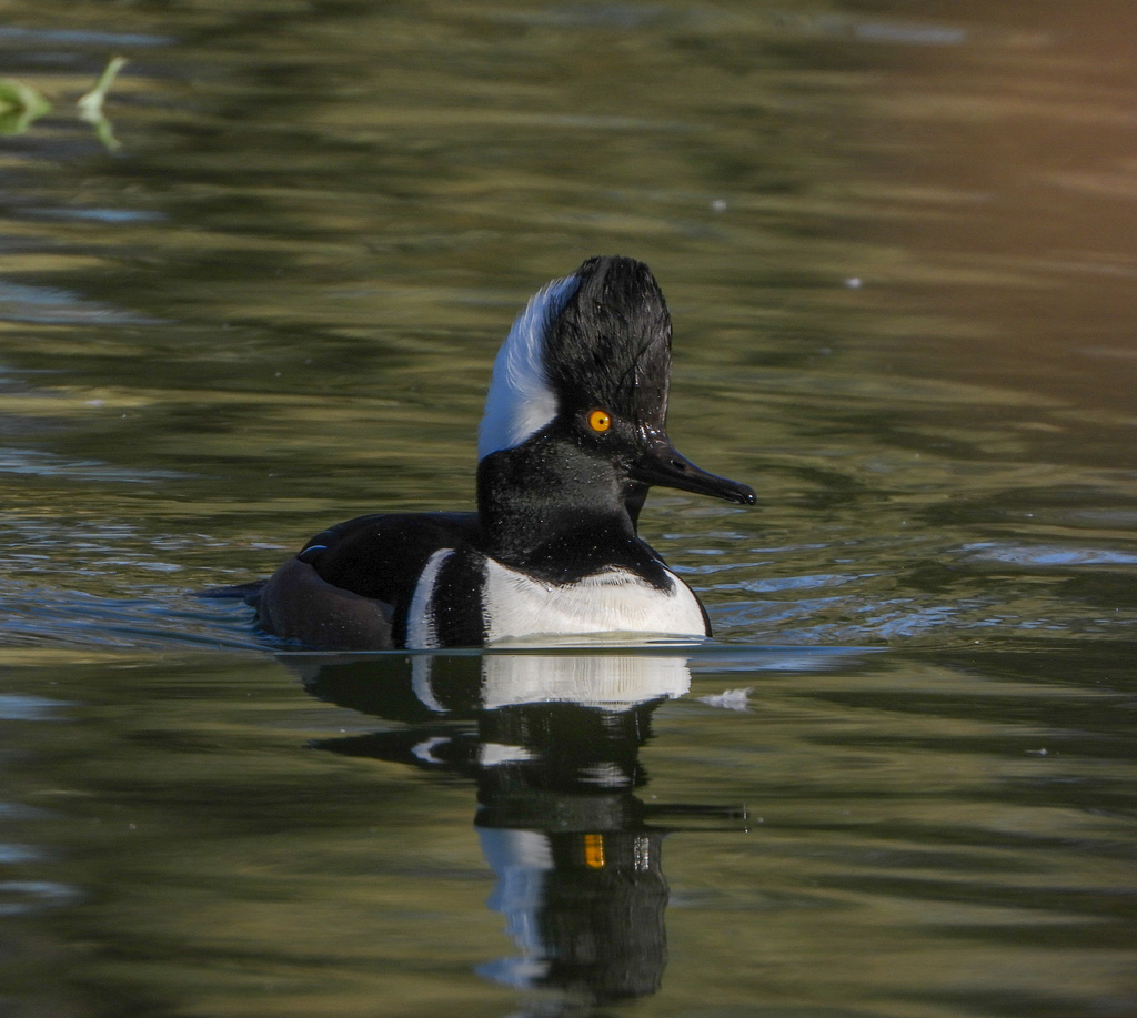
- Hooded MerganserLophodytes cucullatus
- Laughing GullLeucophaeus atricilla
- Lesser ScaupAythya affinis
- Little Blue HeronEgretta caerulea
- Little GullHydrocoloeus minutus
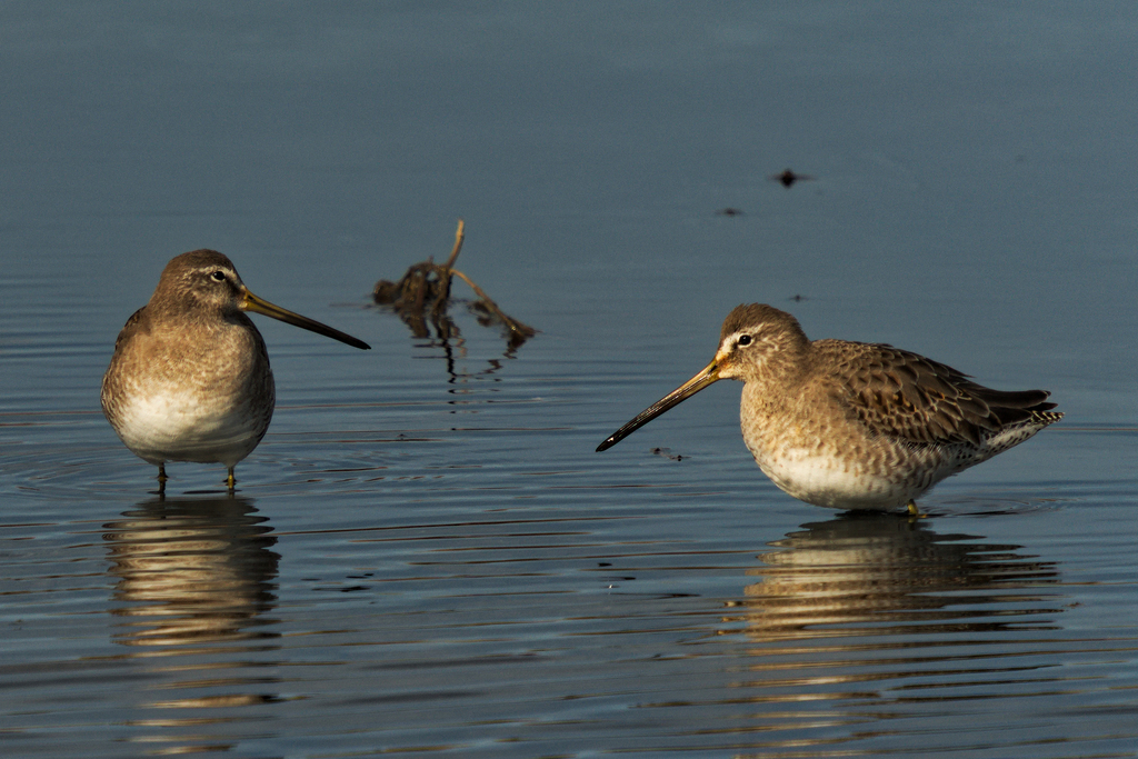
- Long-billed DowitcherLimnodromus scolopaceus
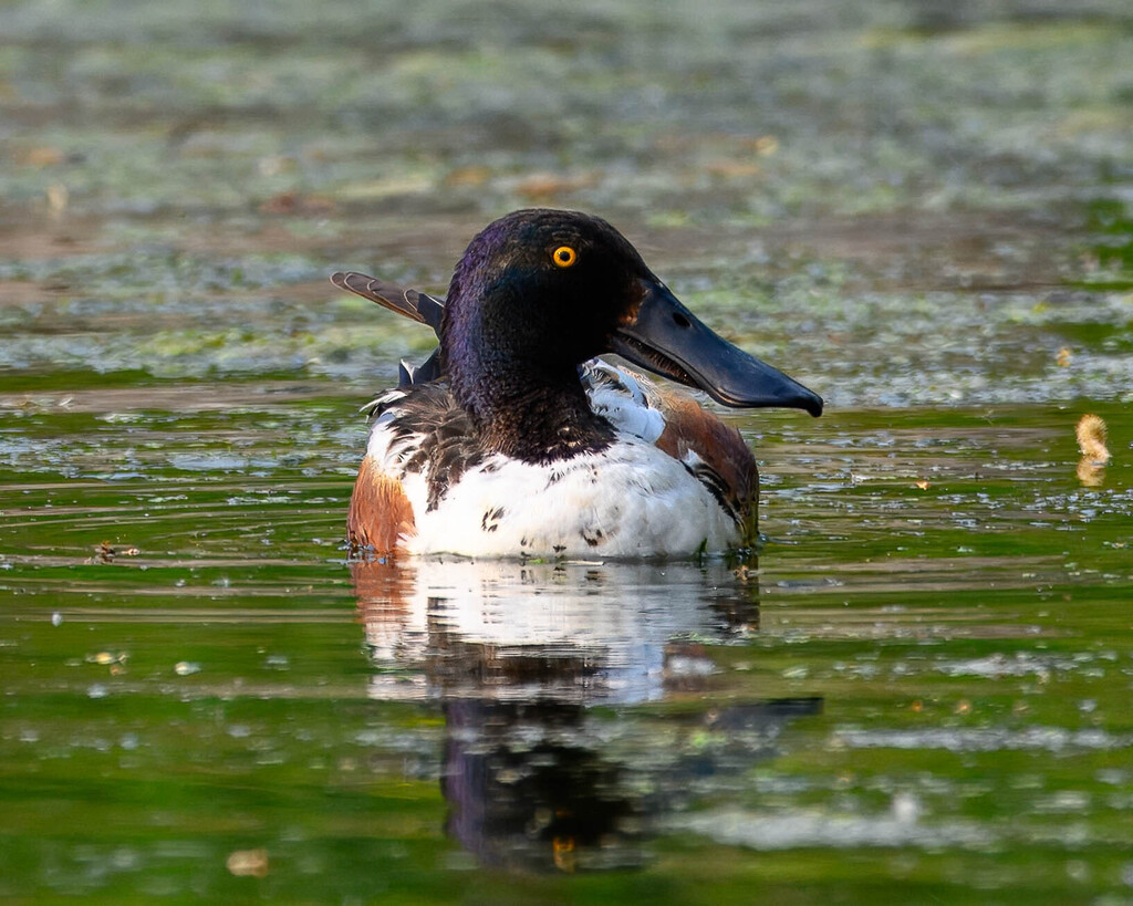
- Northern ShovelerAnas clypeata
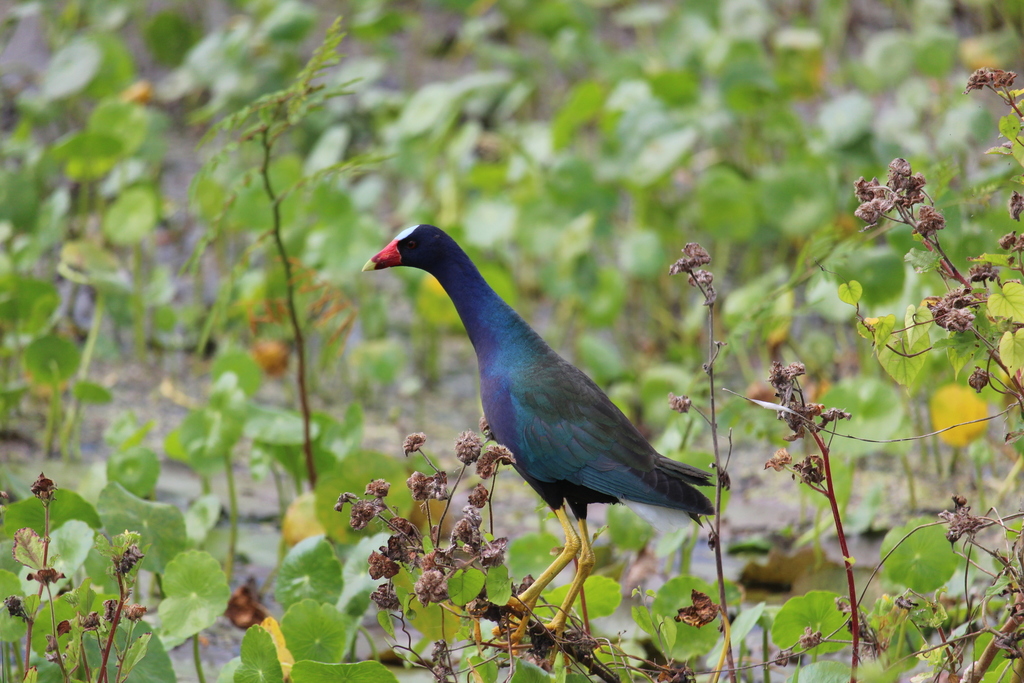
- Purple GallinulePorphyrio martinica
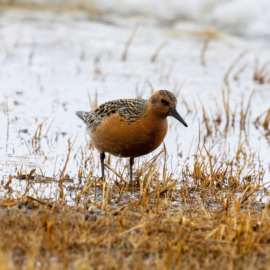
- Red KnotCalidris canutus
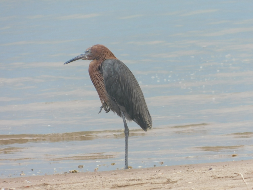
- Reddish EgretEgretta rufescens

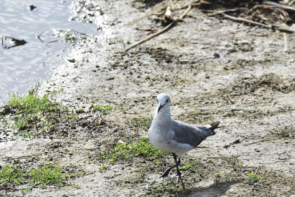
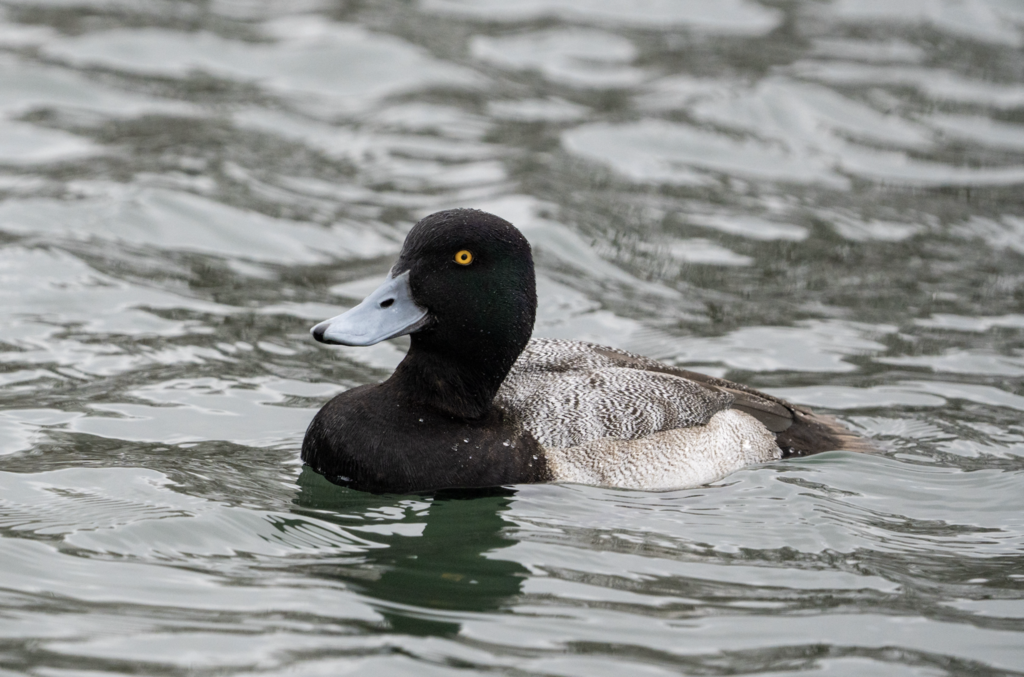
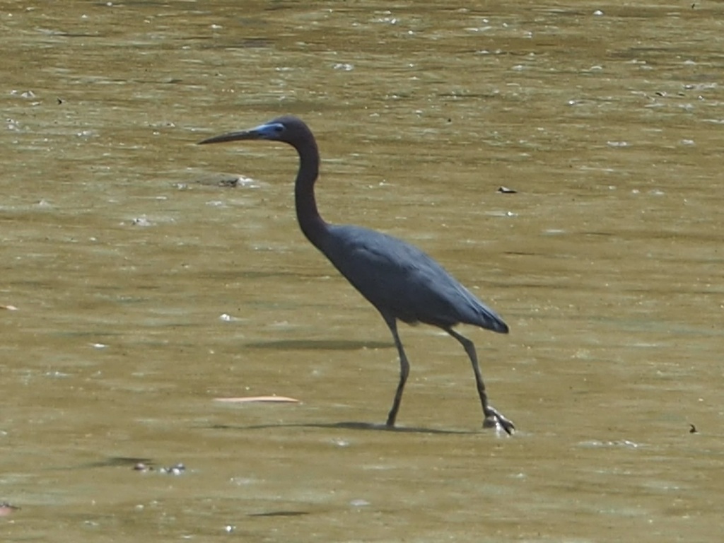
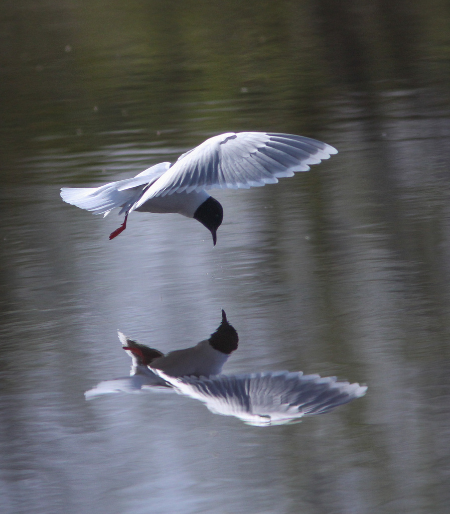
NatureServe Explorer, CC BY 4.0. USGS Gap Analysis Project habitat models.
Sources
- USGS Gap Analysis Project habitat models (2001)
- USGS GAP winter habitat model for Sanderling Brackish or salt water only
- USGS Gap Analysis Project range maps (2001), modeled by watershed; migratory gives no dates
- NatureServe Explorer (CC BY 4.0), habitat names
- US Census TIGER/Line counties
- Names follow the USGS Gap Analysis Project (2001)