

Bird
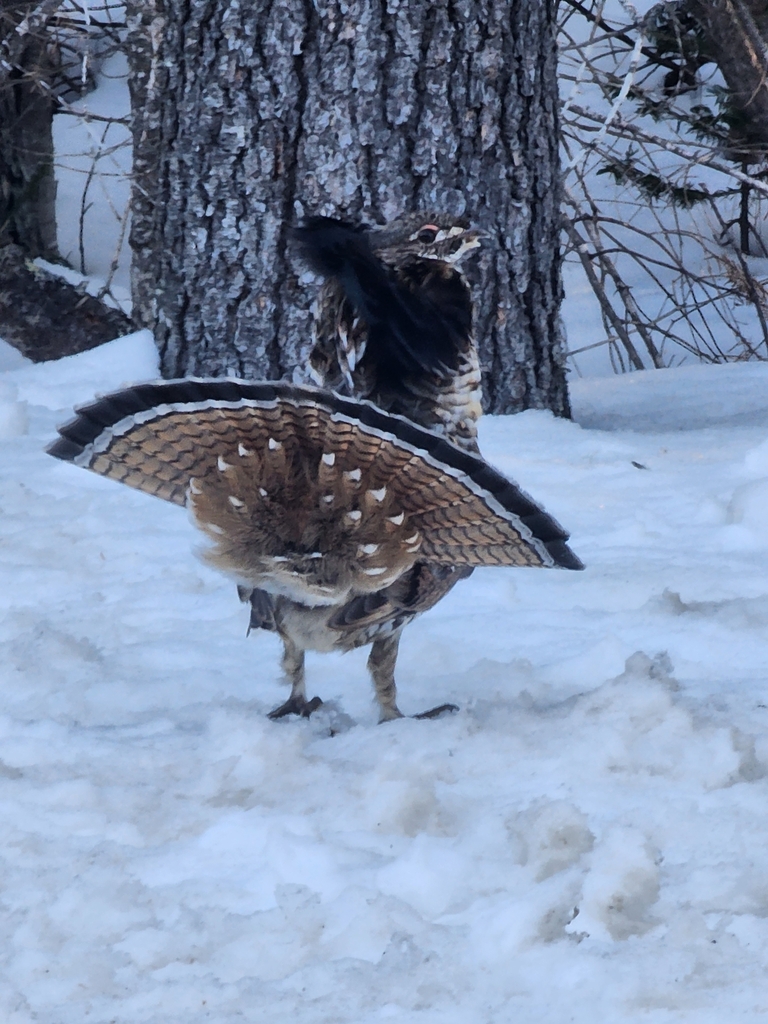
Ruffed Grouse
Bonasa umbellus
Lives in Alabama all year and nests here. Found in 2 of 67 counties, across 8 habitats.
- Here
- All year
- Nesting
- Nests here
- Range
- 2 of 67 counties
- Habitats
- 8
At a glance
- Group
- Birds
- Here
- All year
- Nesting
- Nests here
- Range
- 2 of 67 counties
- Habitats
- 8
- Habitat models
- Year-round
Where it lives
The places its habitat model includes. It is not found everywhere a habitat occurs.
Habitats in Alabama 8
Each habitat page lists the plants and wildlife also found there.
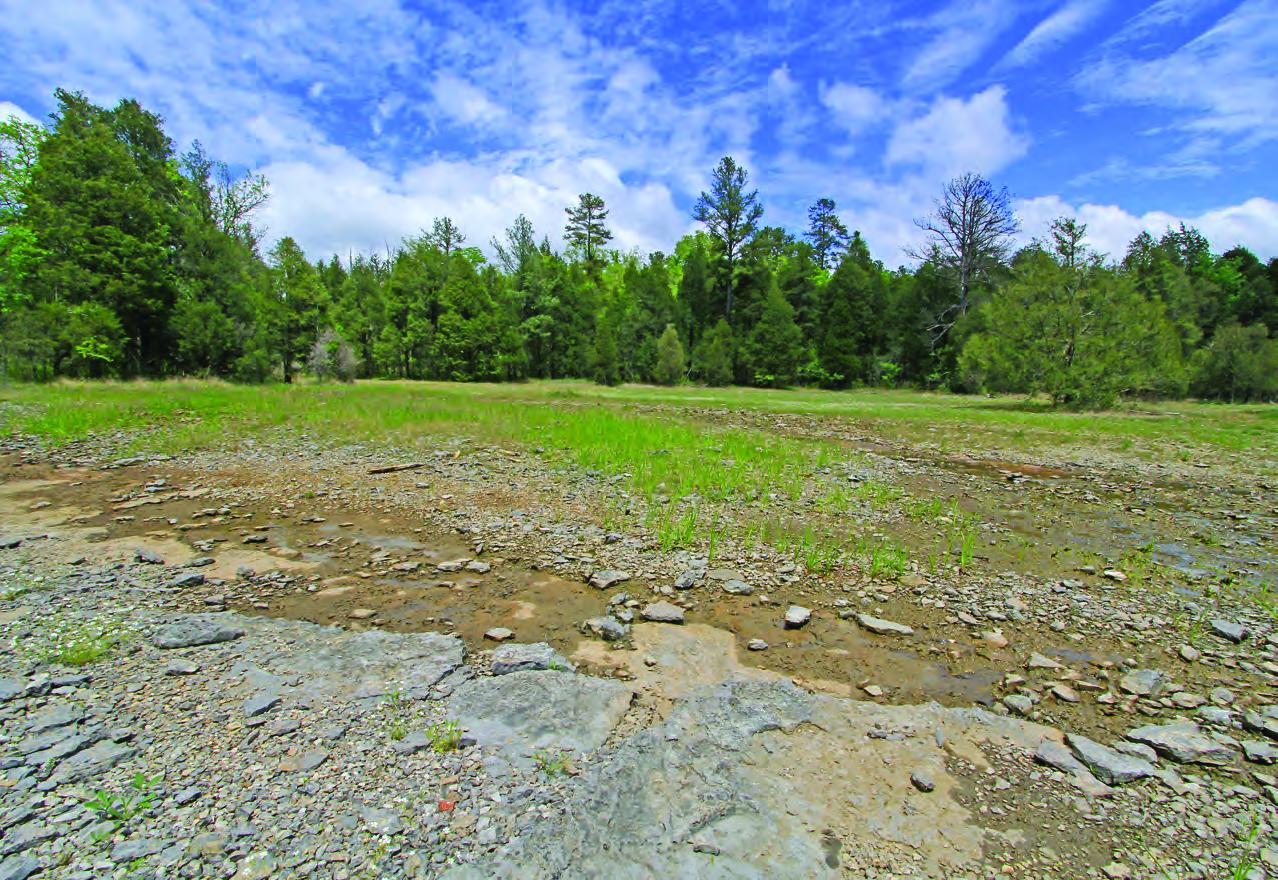
Glades, barrens and outcrops on limestone
Forests and open woodlands on dry ridges and slopes, often oak or pine.
Floodplain and bottomland forests
Forests on low ground beside rivers and streams that flood from time to time.
Forests between dry and moist, often oak-hickory on slopes.
Forests on moist but not wet ground, such as rich slopes and ravines.
Streams, rivers and their banks
Flowing water and its banks, bars and rocky shoals.
Tree plantations and managed pine
Planted or intensively managed stands of pine or hardwoods grown for timber; a land use rather than a natural community.
Roadsides, fields and disturbed ground
Ground opened by people: roadsides, old fields, pastures, fencerows and lots.
Other habitats in its models (41)
Land cover, or classes with no habitat page in Alabama.
- Central and Southern Appalachian Northern Hardwood Forest Year-round.
- Northeastern Interior Dry Oak Forest-Hardwood Modifier Year-round.
- Northeastern Interior Dry Oak Forest - Mixed Modifier Year-round.
- Southern and Central Appalachian Oak Forest - Xeric Year-round.
- Northeastern Interior Dry-Mesic Oak Forest Year-round.
- Ozark-Ouachita Dry-Mesic Oak Forest Year-round.
- North-Central Interior Dry-Mesic Oak Forest and Woodland Year-round.
- North-Central Interior Dry Oak Forest and Woodland Year-round.
- Ouachita Montane Oak Forest Year-round.
- North-Central Interior Beech-Maple Forest Year-round.
- North-Central Interior Maple-Basswood Forest Year-round.
- Southern and Central Appalachian Oak Forest Year-round.
- Central and Southern Appalachian Montane Oak Forest Year-round.
- Ozark-Ouachita Dry Oak Woodland Year-round.
- Ozark-Ouachita Mesic Hardwood Forest Year-round.
- Northeastern Interior Dry Oak Forest - Virginia/Pitch Pine Modifier Year-round.
- Southern Piedmont Dry Oak-(Pine) Forest - Loblolly Pine Modifier Year-round.
- Southern Ridge and Valley Dry Calcareous Forest - Pine modifier Year-round.
- Southern Piedmont Dry Oak-(Pine) Forest - Mixed Modifier Year-round.
- Southern Piedmont Dry Oak-Heath Forest - Mixed Modifier Year-round.
- Northern Atlantic Coastal Plain Dry Hardwood Forest Year-round.
- Central Interior Highlands Dry Acidic Glade and Barrens Year-round.
- Ozark-Ouachita Shortleaf Pine-Oak Forest and Woodland Year-round.
- Central Appalachian Oak and Pine Forest Year-round.
- Appalachian Hemlock-Hardwood Forest Year-round.
- Acadian Low-Elevation Spruce-Fir-Hardwood Forest Year-round.
- Central Appalachian Pine-Oak Rocky Woodland Year-round.
- Southern and Central Appalachian Cove Forest Year-round.
- Southern Appalachian Montane Pine Forest and Woodland Year-round.
- Ozark-Ouachita Shortleaf Pine-Bluestem Woodland Year-round.
- Central and Southern Appalachian Spruce-Fir Forest Year-round.
- Southern Piedmont Glade and Barrens Year-round.
- Nashville Basin Limestone Glade Year-round.
- Central Appalachian Alkaline Glade and Woodland Year-round.
- Harvested Forest - Grass/Forb Regeneration Year-round, beside its main habitat.
- Introduced Upland Vegetation - Treed Year-round.
- Northern Atlantic Coastal Plain Basin Swamp and Wet Hardwood Forest Year-round.
- Southern and Central Appalachian Bog and Fen Year-round.
- Central Appalachian Riparian - Forest Modifier Year-round.
- Eastern Great Plains Floodplain Systems Year-round.
- Ozark-Ouachita Riparian Year-round.
Seasons in Alabama
- Year-round: nests here, in 2 of 67 counties.
Also found in this habitat
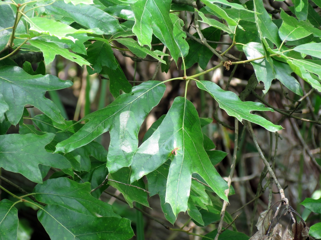
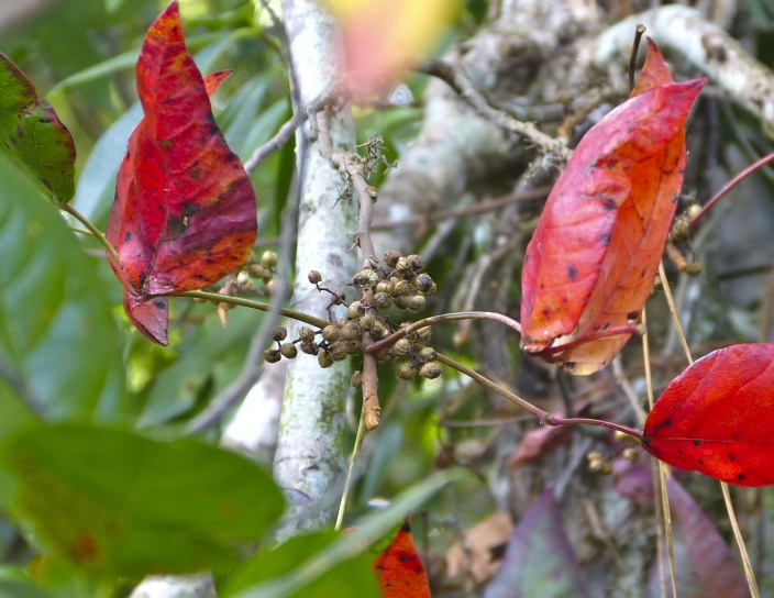
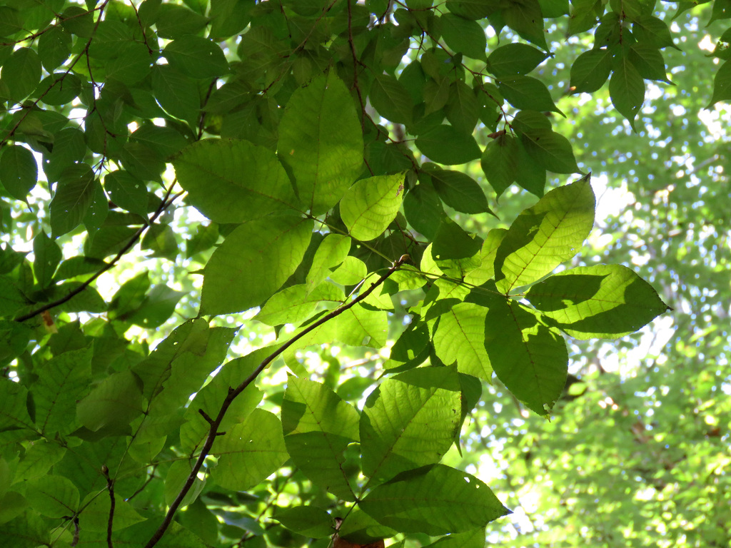
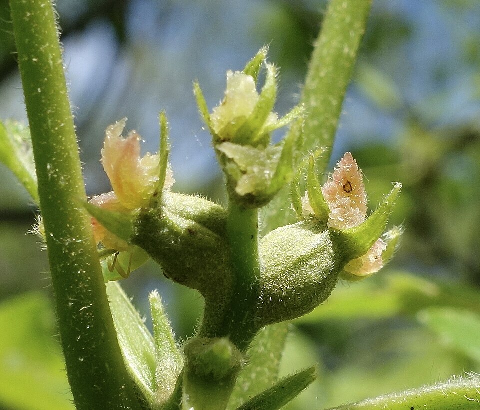
Plants 749
Plants named in NatureServe descriptions of these habitats that grow in Alabama. Shared habitat, not food.
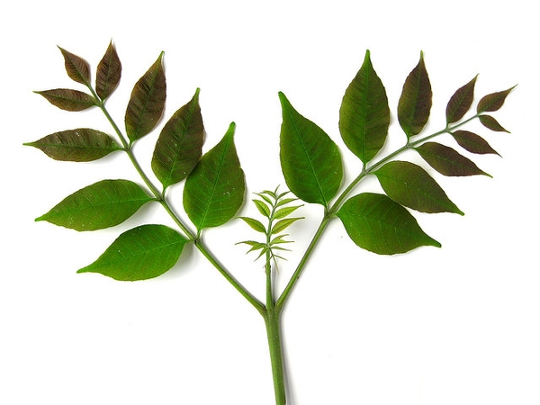
- White AshFraxinus americana
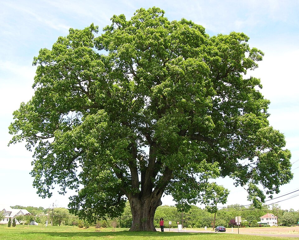
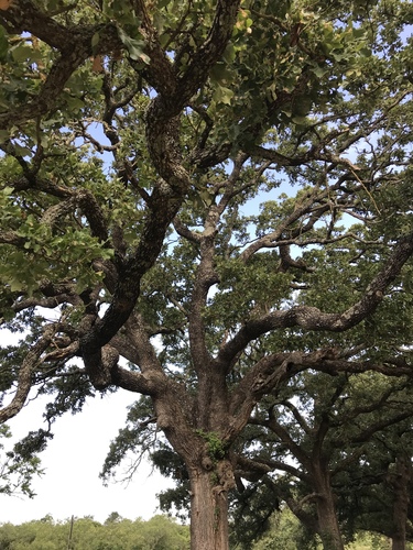
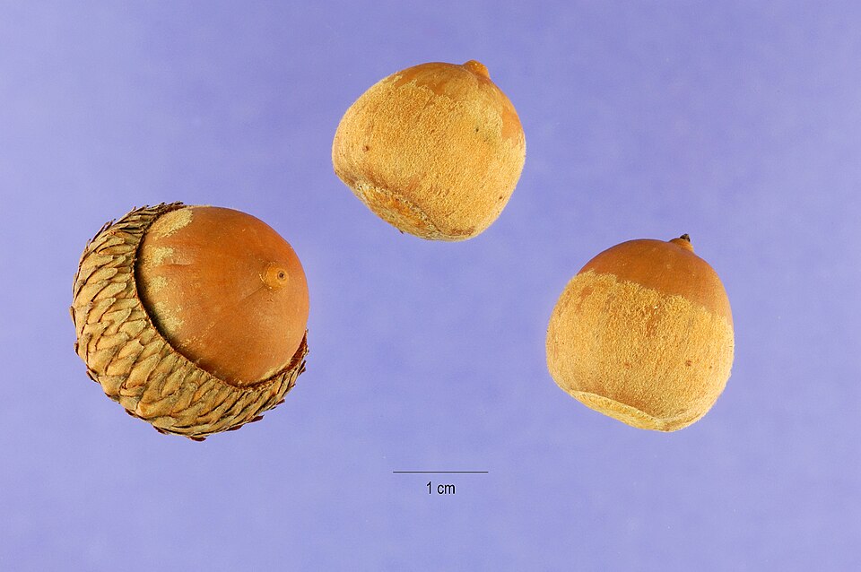
- White OakQuercus alba
- Post OakQuercus stellata
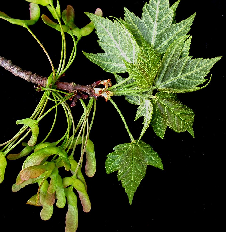
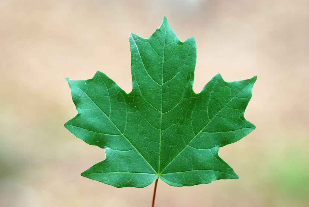
- Red MapleAcer rubrum
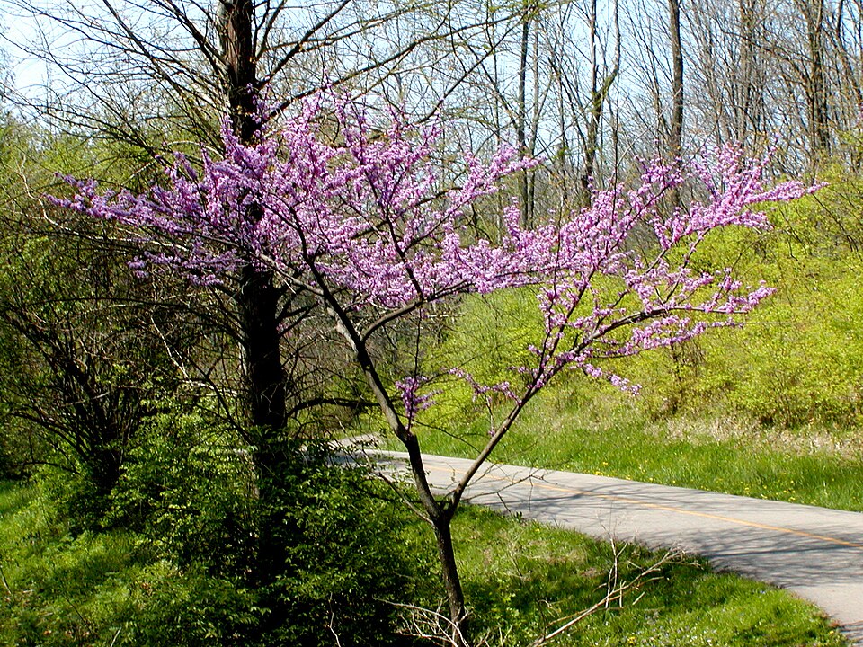
- Eastern RedbudCercis canadensis
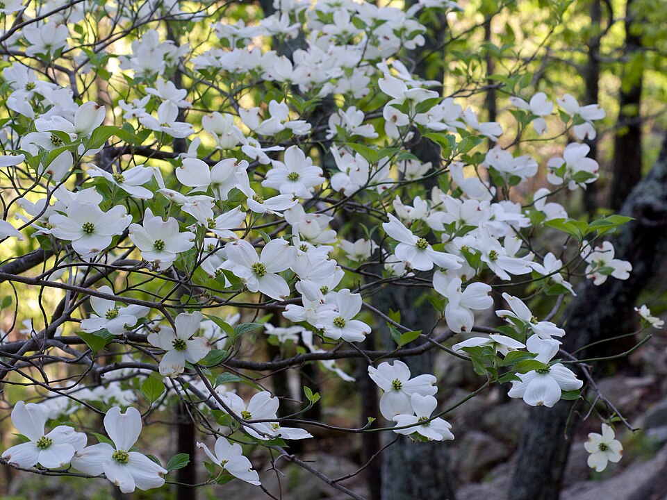
- Flowering DogwoodCornus florida
- Southern Red OakQuercus falcata
- Poison-ivyToxicodendron radicans
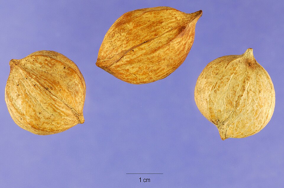
- Pignut HickoryCarya glabra
- Shagbark HickoryCarya ovata
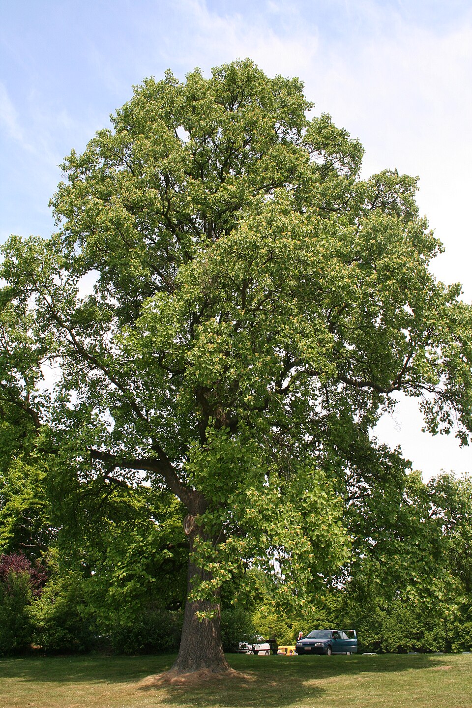
- TuliptreeLiriodendron tulipifera
- Black OakQuercus velutina
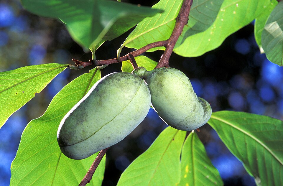
- Common PawpawAsimina triloba
- Mockernut HickoryCarya tomentosa
- Hairy Bush HoneysuckleDiervilla rivularis
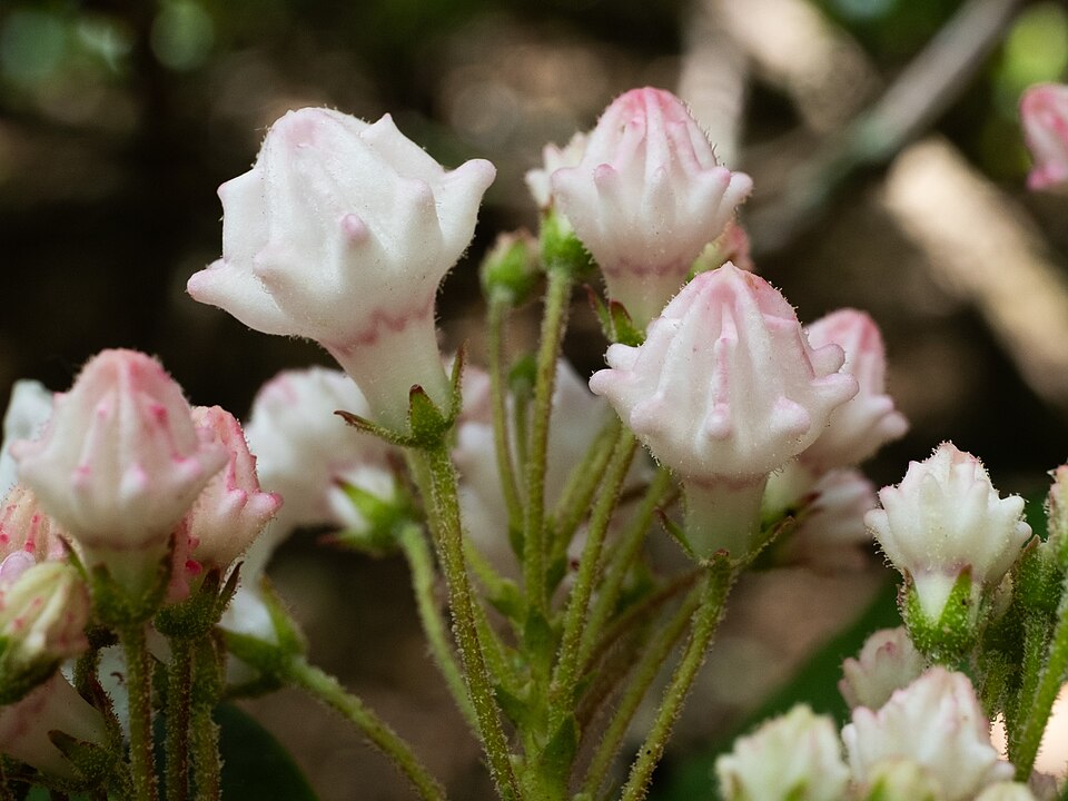
- Mountain LaurelKalmia latifolia
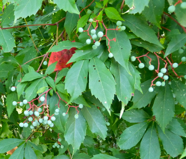
- Virginia CreeperParthenocissus quinquefolia
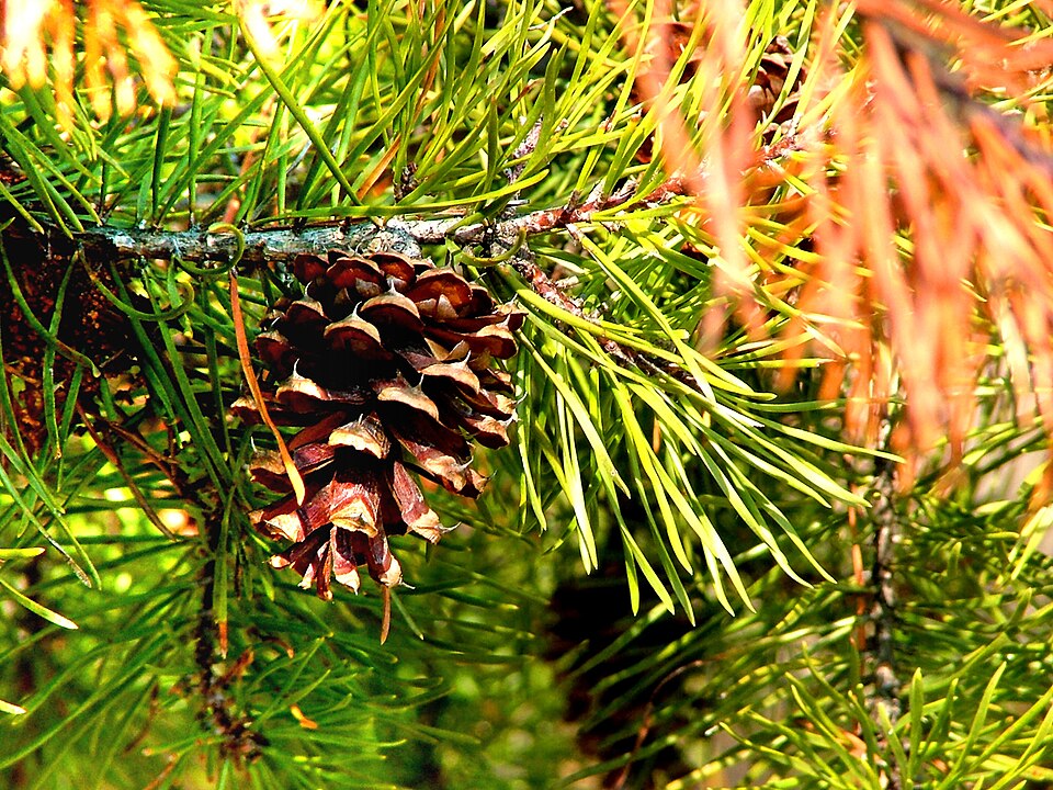
- Virginia PinePinus virginiana
- Scarlet OakQuercus coccinea
- Blackjack OakQuercus marilandica
- Chestnut OakQuercus montana
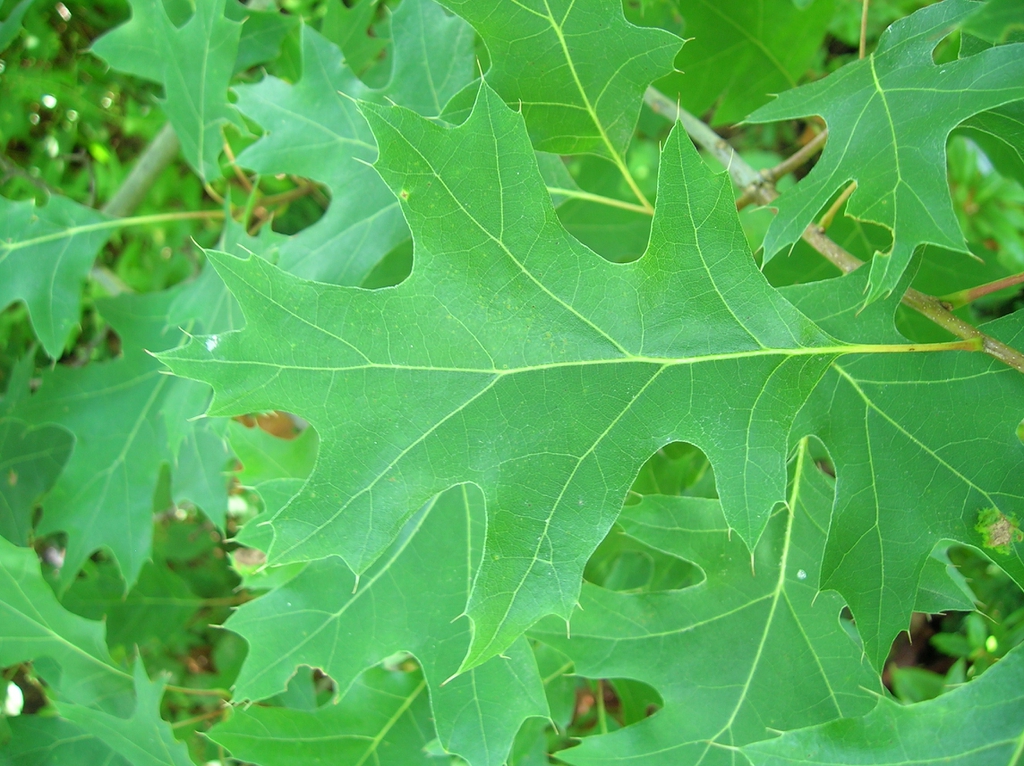
- Northern Red OakQuercus rubra
- Shumard OakQuercus shumardii
- Florida MapleAcer floridanum
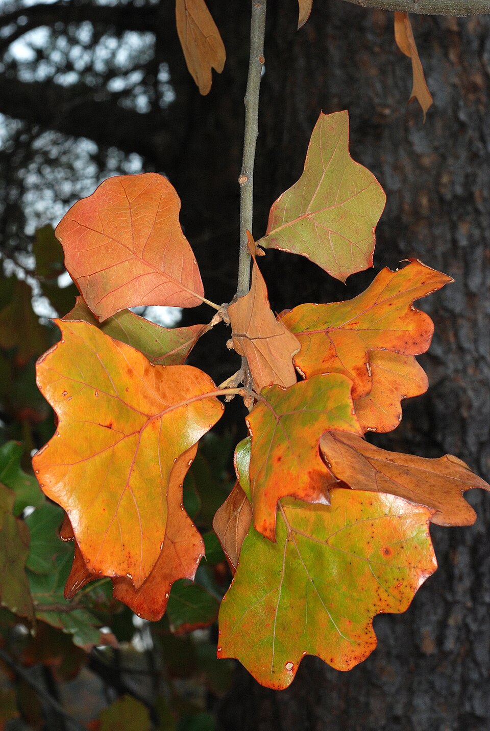
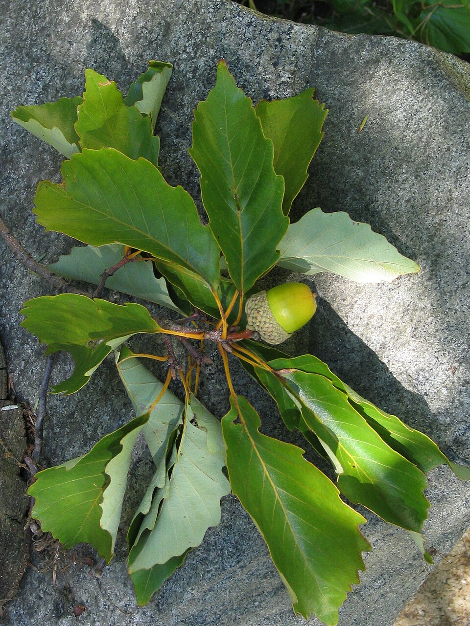
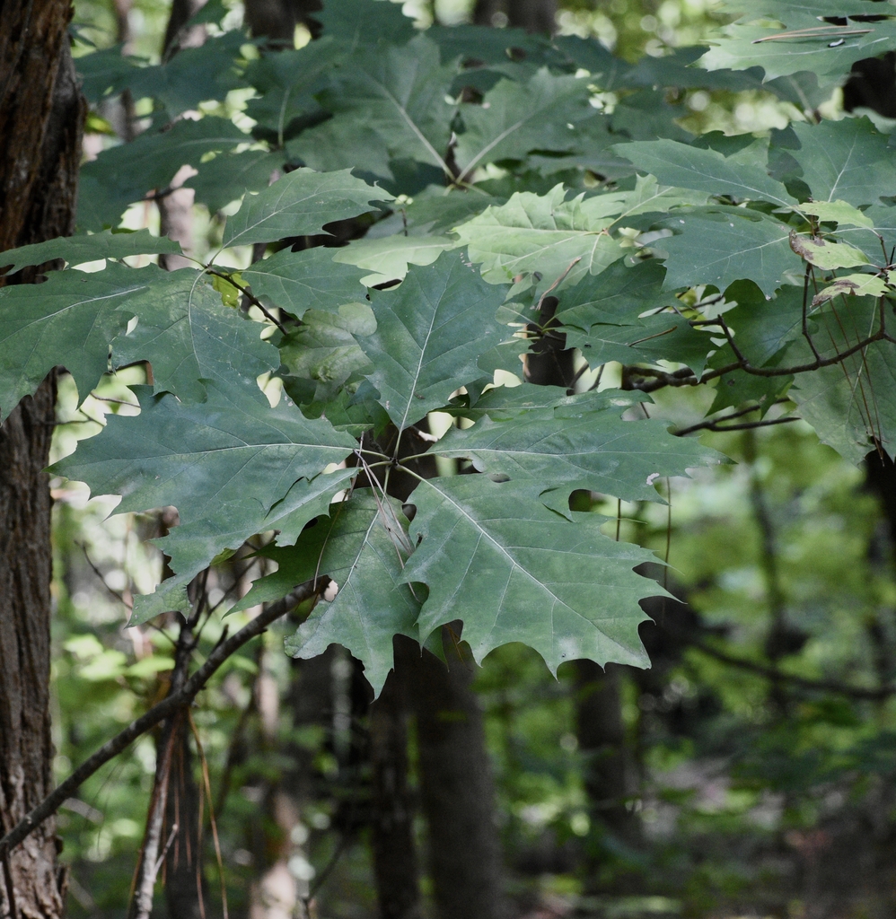
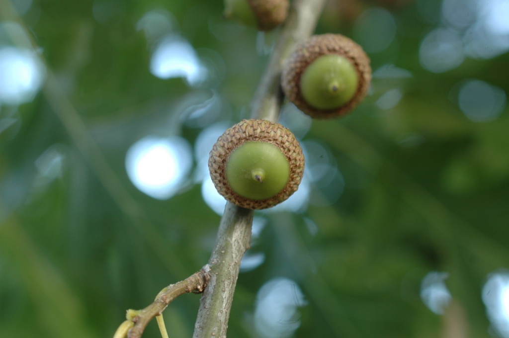
Wildlife 215
Other animals whose habitat models include the same habitats in Alabama. Not sighting records.
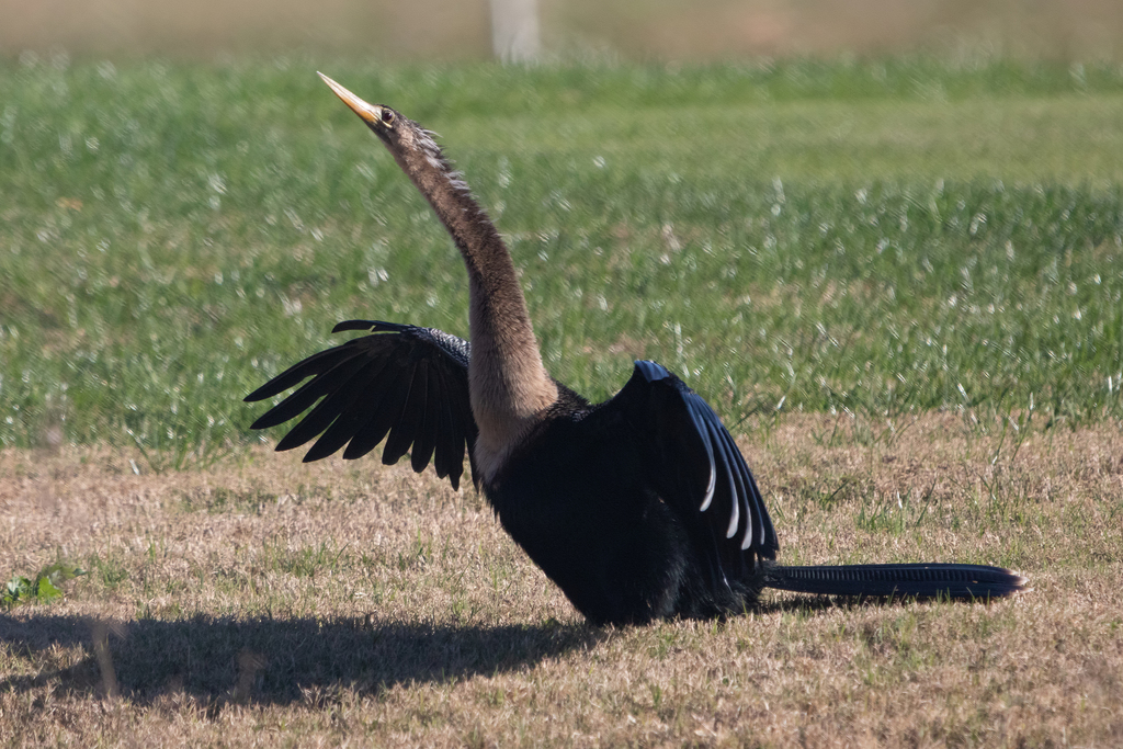
- AnhingaAnhinga anhinga
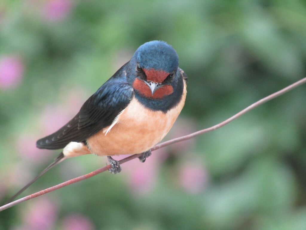
- Barn SwallowHirundo rustica
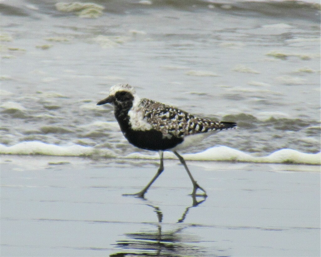
- Black-bellied PloverPluvialis squatarola
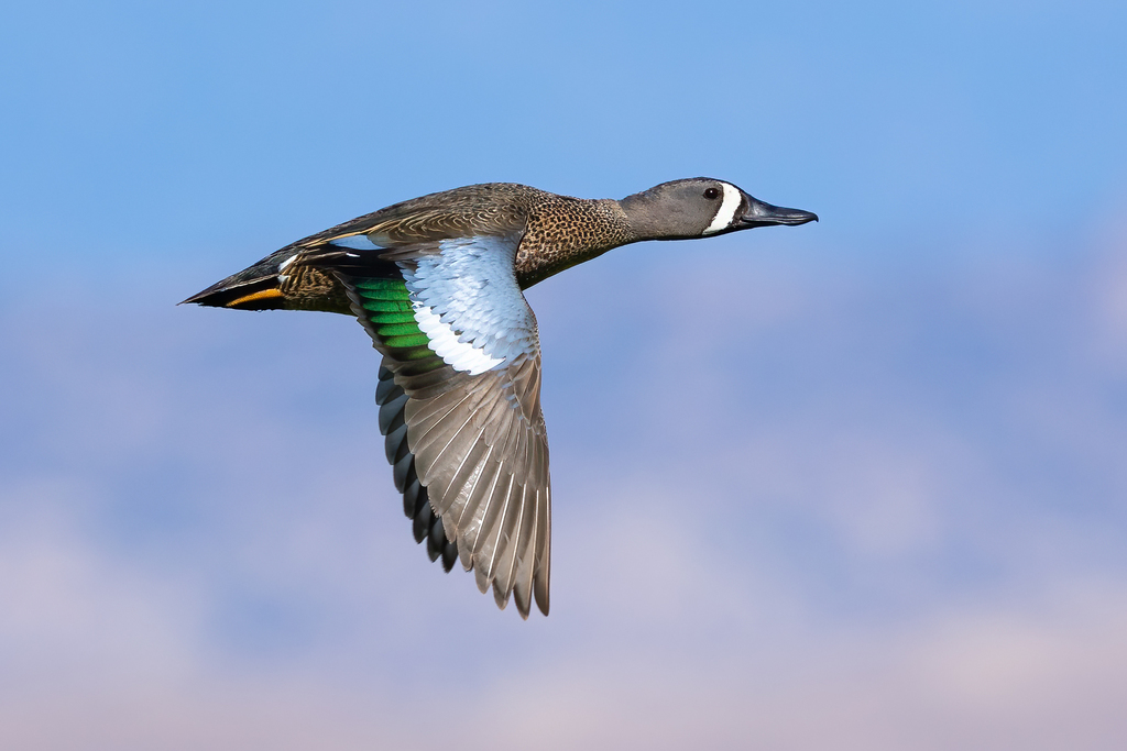
- Blue-winged TealAnas discors
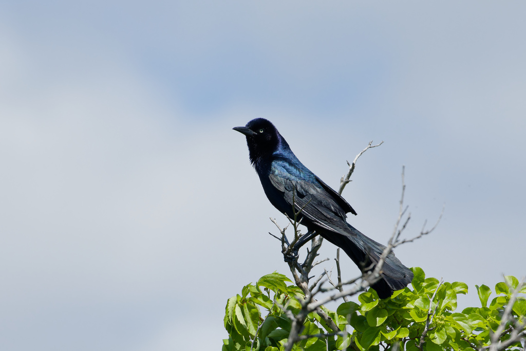
- Boat-tailed GrackleQuiscalus major
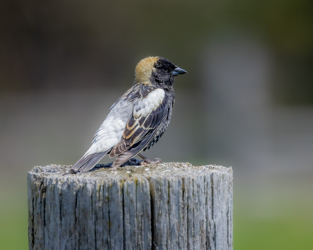
- BobolinkDolichonyx oryzivorus
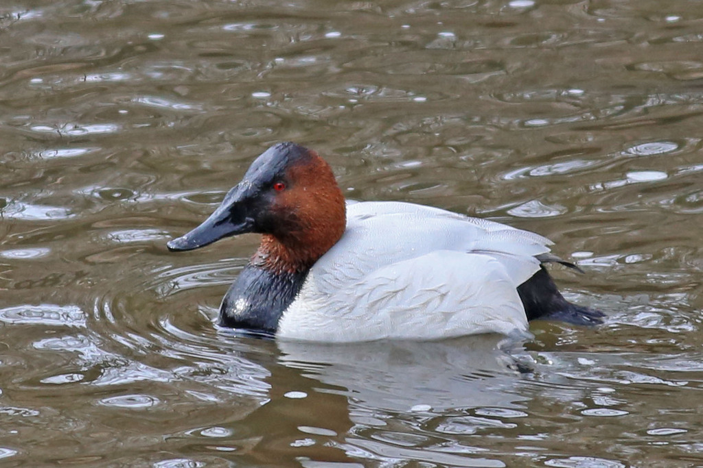
- CanvasbackAythya valisineria
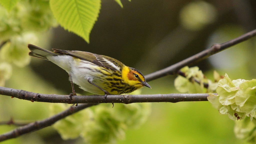
- Cape May WarblerDendroica tigrina
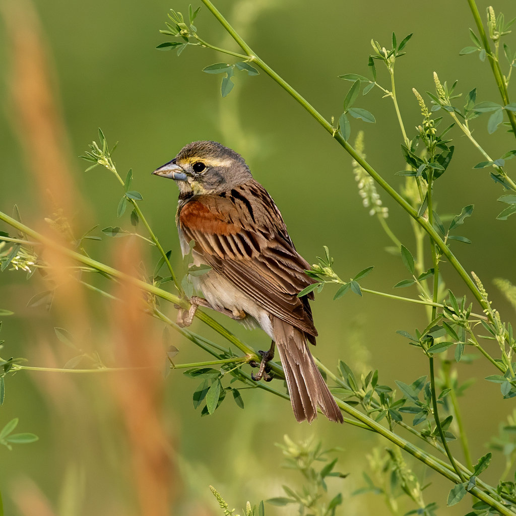
- DickcisselSpiza americana
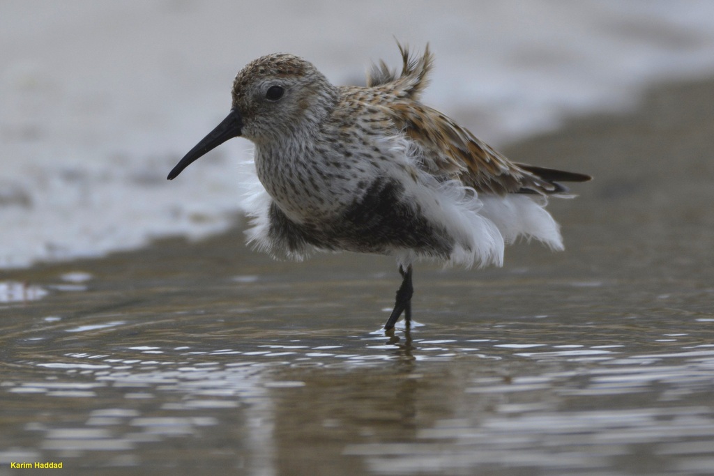
- DunlinCalidris alpina
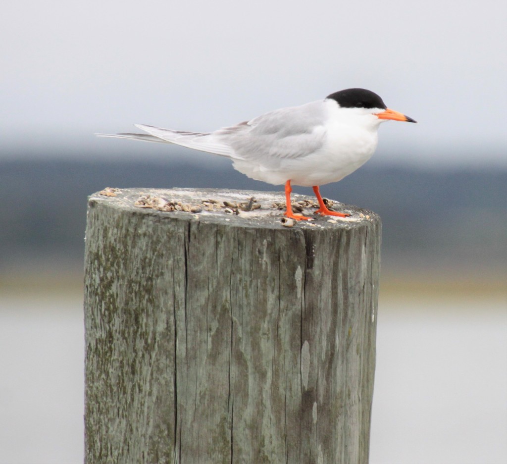
- Forster's TernSterna forsteri
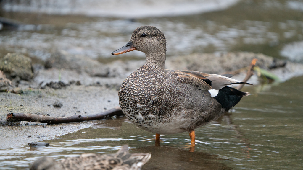
- GadwallAnas strepera
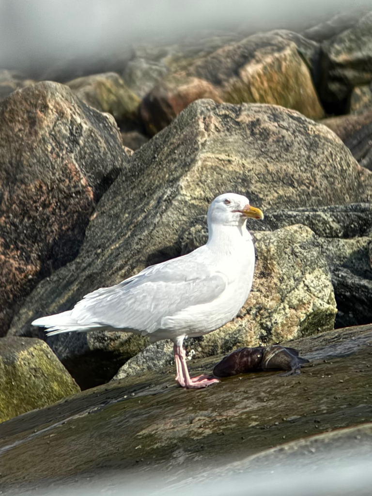
- Glaucous GullLarus hyperboreus
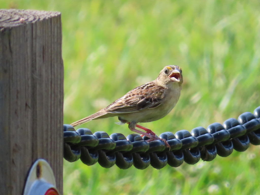
- Grasshopper SparrowAmmodramus savannarum
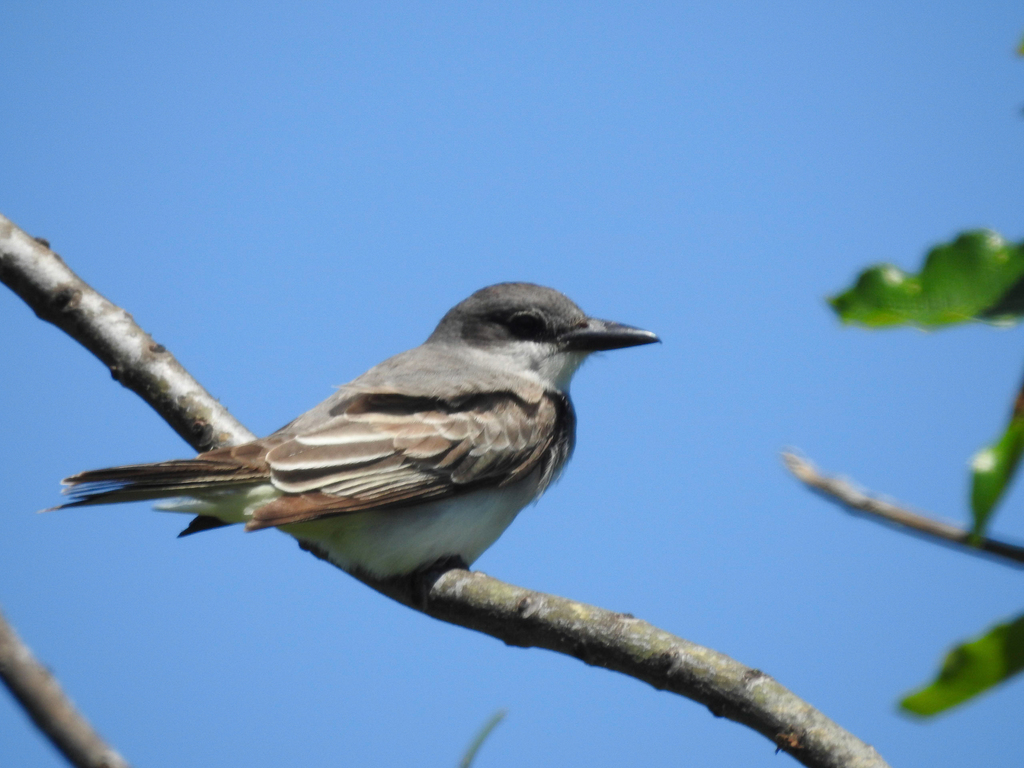
- Gray KingbirdTyrannus dominicensis
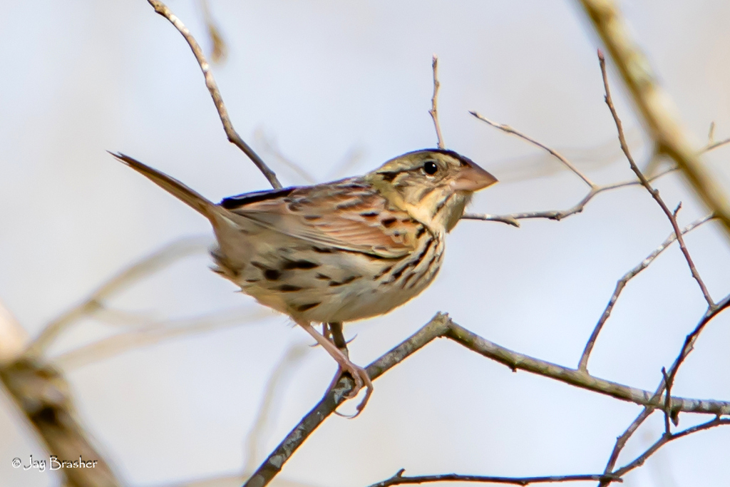
- Henslow's SparrowAmmodramus henslowii
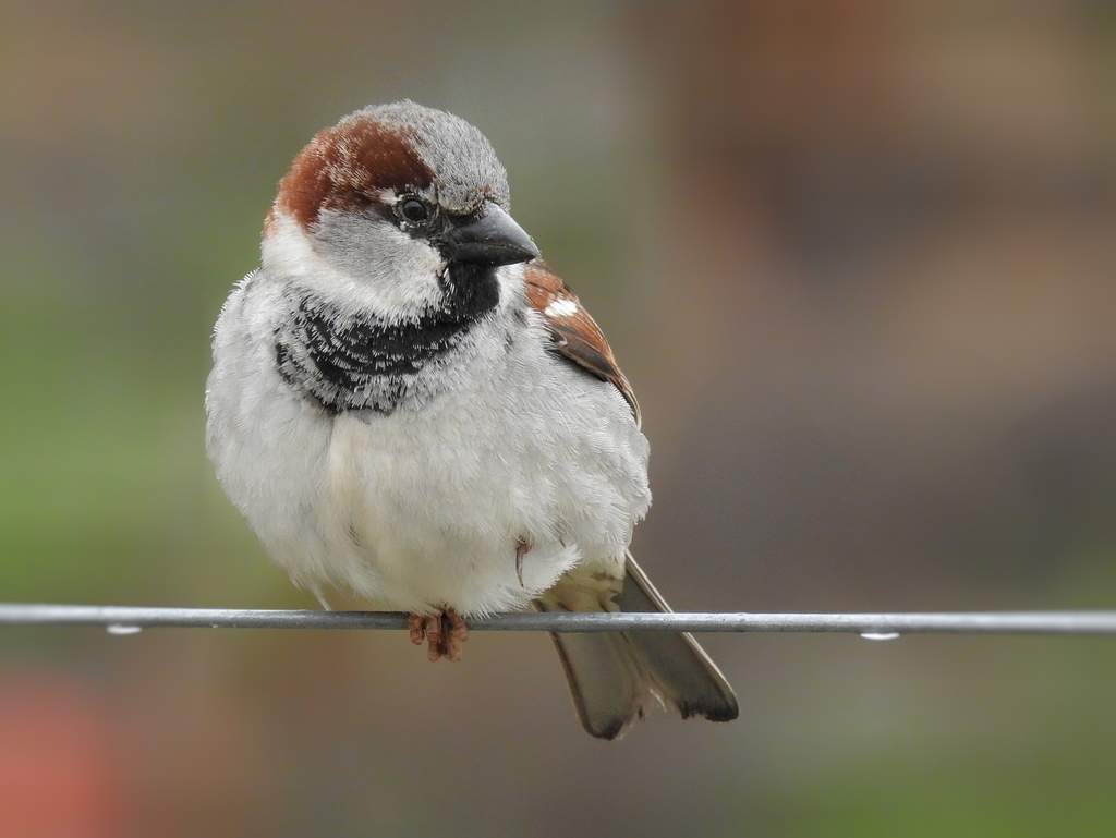
- House SparrowPasser domesticus
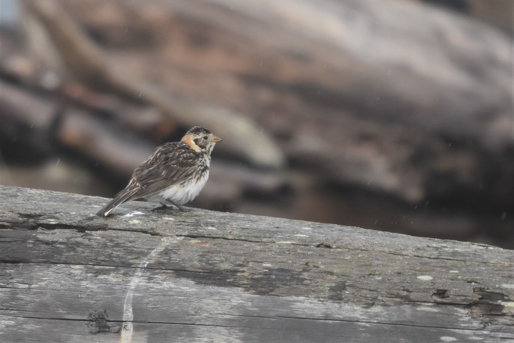
- Lapland LongspurCalcarius lapponicus
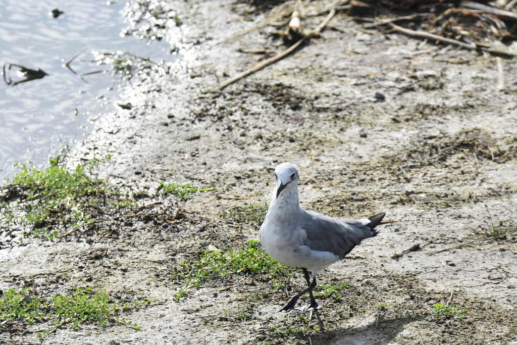
- Laughing GullLeucophaeus atricilla
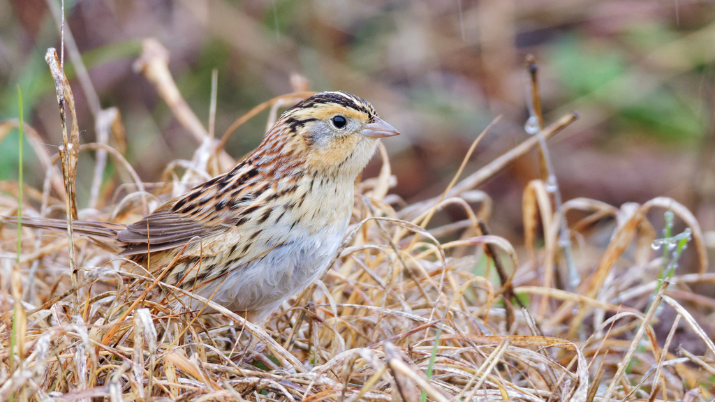
- Le Conte's SparrowAmmodramus leconteii
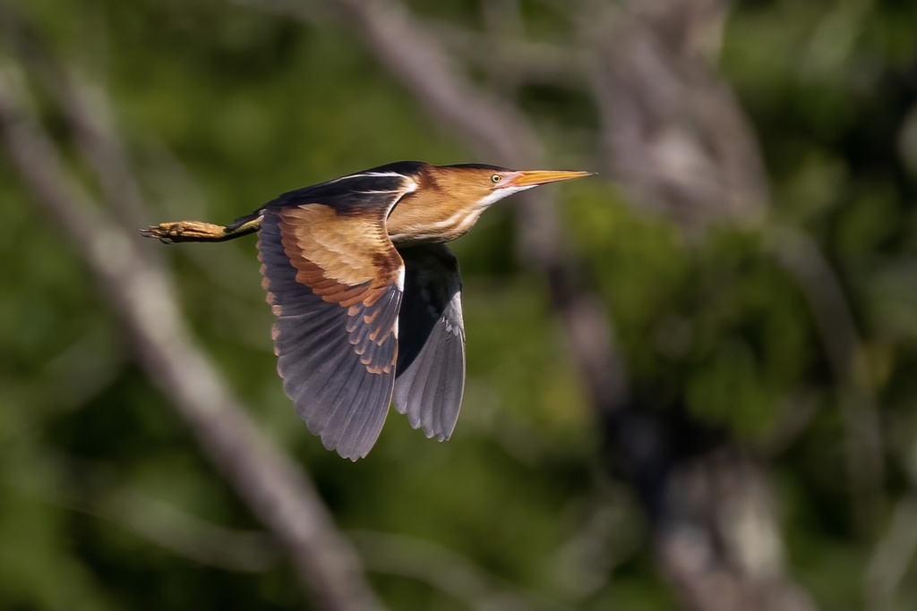
- Least BitternIxobrychus exilis
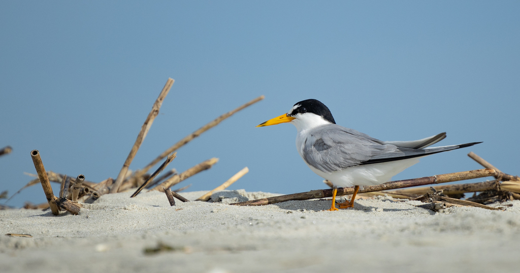
- Least TernSternula antillarum
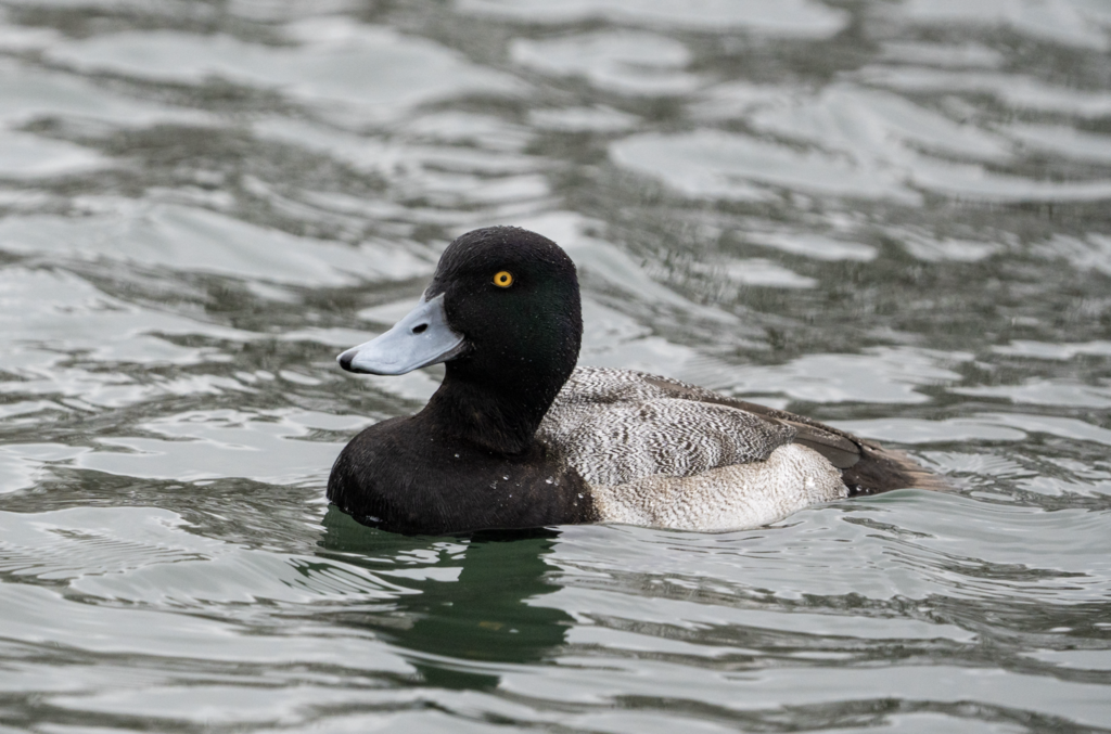
- Lesser ScaupAythya affinis
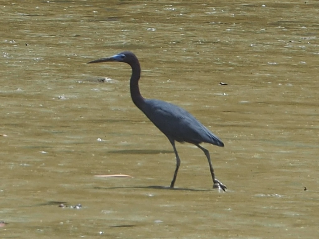
- Little Blue HeronEgretta caerulea
NatureServe Explorer, CC BY 4.0. USGS Gap Analysis Project habitat models.
Sources
- USGS Gap Analysis Project habitat models (2001)
- USGS GAP year-round habitat model for Ruffed Grouse Elevation up to 2,500 m
- USGS Gap Analysis Project range maps (2001), modeled by watershed; migratory gives no dates
- NatureServe Explorer (CC BY 4.0), habitat names
- US Census TIGER/Line counties
- Names follow the USGS Gap Analysis Project (2001)