

Bird
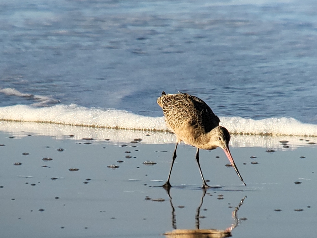
Marbled Godwit
Limosa fedoa
A winter visitor to Alabama, found in 7 of 67 counties and 3 habitats.
- Here
- Winter
- Nesting
- Not known to nest here
- Range
- 7 of 67 counties
- Habitats
- 3
At a glance
- Group
- Birds
- Here
- Winter
- Nesting
- Not known to nest here
- Range
- 7 of 67 counties
- Habitats
- 3
- Habitat models
- Winter
Where it lives
The places its habitat model includes. It is not found everywhere a habitat occurs.
Habitats in Alabama 3
Each habitat page lists the plants and wildlife also found there.
Open sand of beaches, dunes and the hollows between them.
Coastal tidal marshes (salinity not stated)
Tidal marshes of the Atlantic and Gulf coasts where the source does not say whether the water is fresh, brackish or salt. A stated salinity files the marsh under freshwater tidal marshes or salt and brackish marshes instead.
Coastal marshes flooded by salty or brackish tides.
Other habitats in its models (18)
Land cover, or classes with no habitat page in Alabama.
- Atlantic Coastal Plain Southern Beach Winter.
- Unconsolidated Shore Winter.
- Upper Texas Coast Beach Winter.
- Louisiana Beach Winter.
- Southeast Florida Beach Winter.
- South Florida Shell Hash Beach Winter.
- Atlantic Coastal Plain Sea Island Beach Winter.
- Southwest Florida Beach Winter.
- Texas Coastal Bend Beach Winter.
- Atlantic Coastal Plain Southern Dune and Maritime Grassland Winter.
- Southwest Florida Dune and Coastal Grassland Winter.
- Central and Upper Texas Coast Dune and Coastal Grassland Winter.
- Atlantic Coastal Plain Central Salt and Brackish Tidal Marsh Winter.
- Atlantic Coastal Plain Indian River Lagoon Tidal Marsh Winter.
- Atlantic Coastal Plain Embayed Region Tidal Salt and Brackish Marsh Winter.
- Atlantic Coastal Plain Northern Tidal Salt Marsh Winter.
- Florida Big Bend Salt-Brackish Tidal Marsh Winter.
- Texas Saline Coastal Prairie Winter.
Seasons in Alabama
- Winter: does not nest here, in 7 of 67 counties.
Also found in this habitat
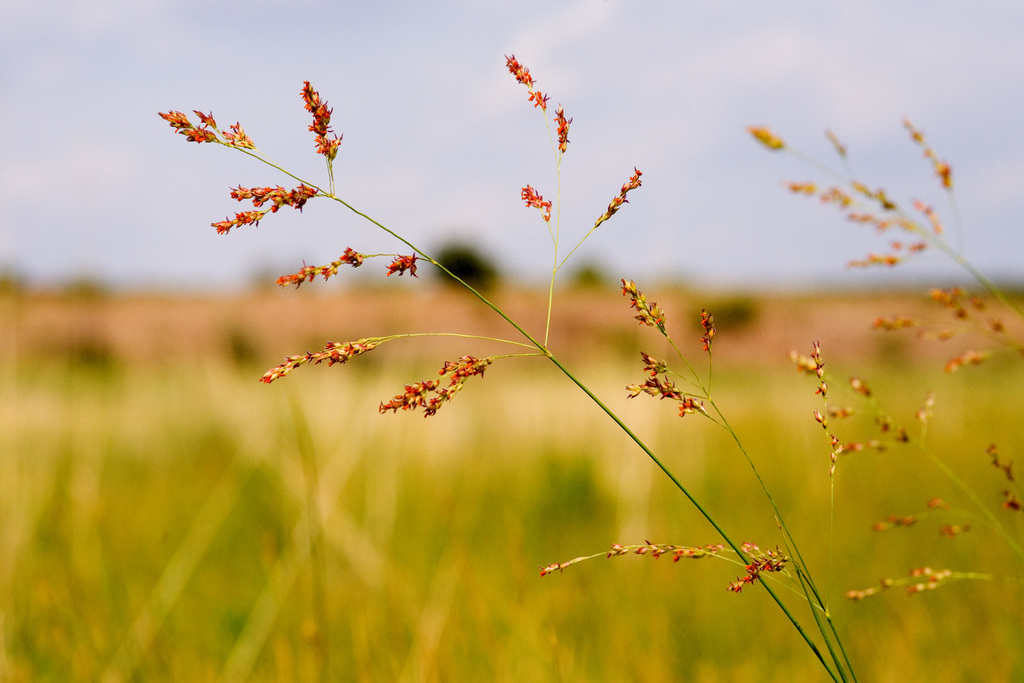
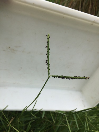
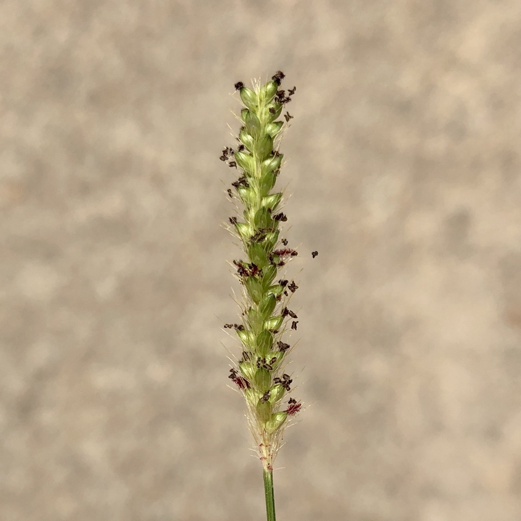
Plants 39
Plants named in NatureServe descriptions of these habitats that grow in Alabama. Shared habitat, not food.
- Black NeedlerushJuncus roemerianus
- SwitchgrassPanicum virgatum
- SquareflowerParonychia erecta
- KnotgrassPaspalum distichum
- Tall JointweedPolygonella gracilis
- Polygonella polygamaPolygonella polygama
- Quercus myrtifoliaQuercus myrtifolia
- Rhexia salicifoliaRhexia salicifolia
- Olney's ThreesquareSchoenoplectus americanus
- Common Three Square BulrushSchoenoplectus pungens
- Marsh BristlegrassSetaria parviflora
- Solidago sempervirens var. mexicanaSolidago mexicana
- Saltmarsh CordgrassSporobolus alterniflorus
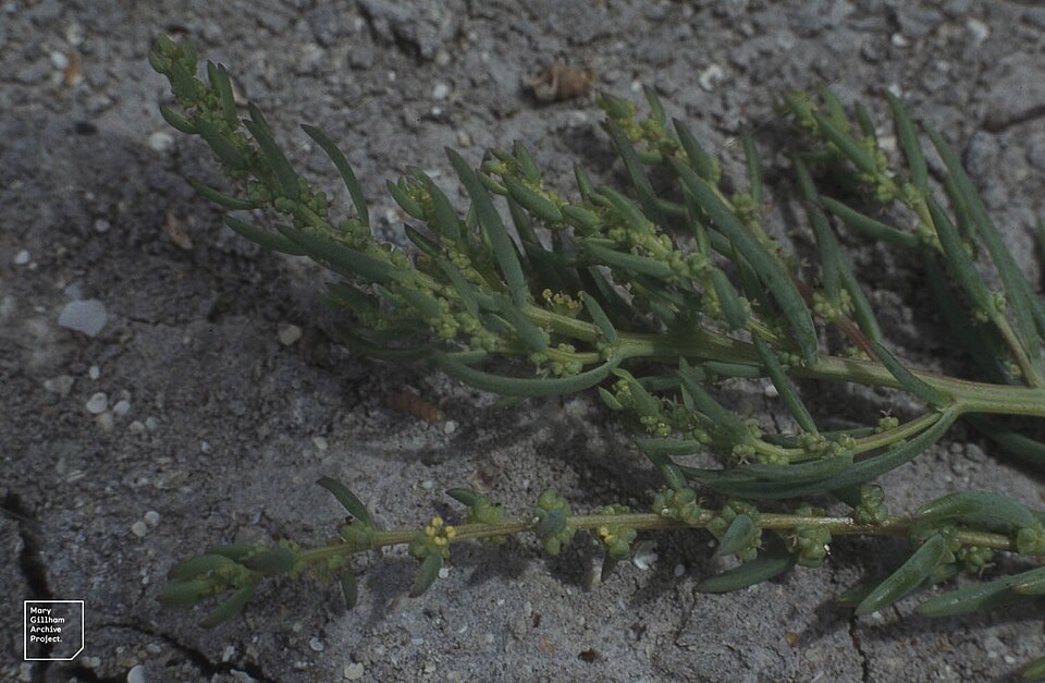
- Annual Sea-bliteSuaeda linearis
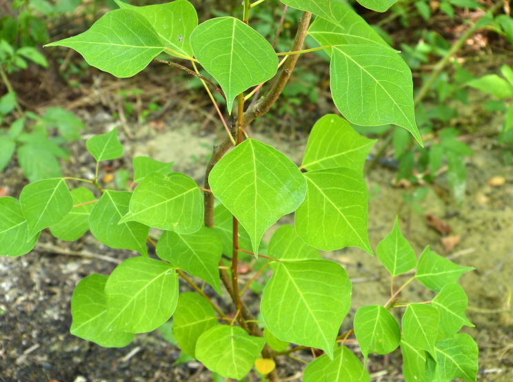
- Chinese Tallow-treeTriadica sebifera
Wildlife 161
Other animals whose habitat models include the same habitats in Alabama. Not sighting records.
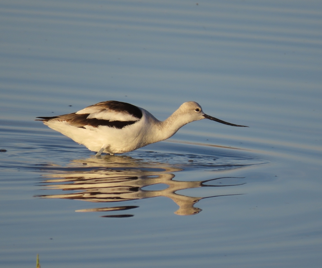
- American AvocetRecurvirostra americana
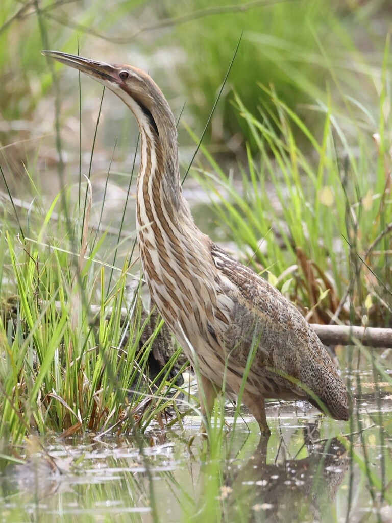
- American BitternBotaurus lentiginosus
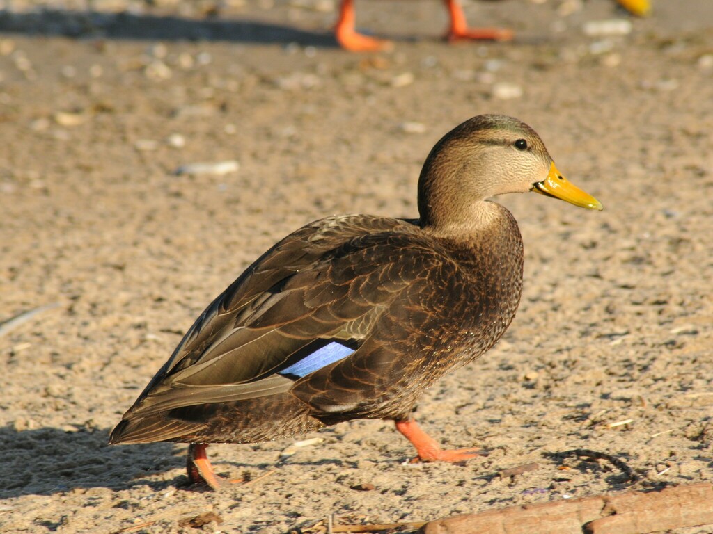
- American Black DuckAnas rubripes
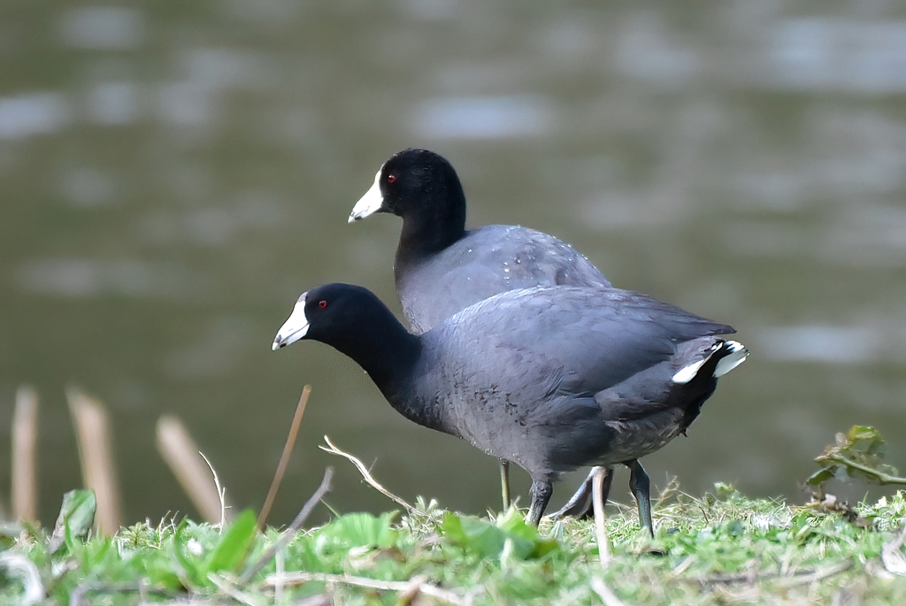
- American CootFulica americana
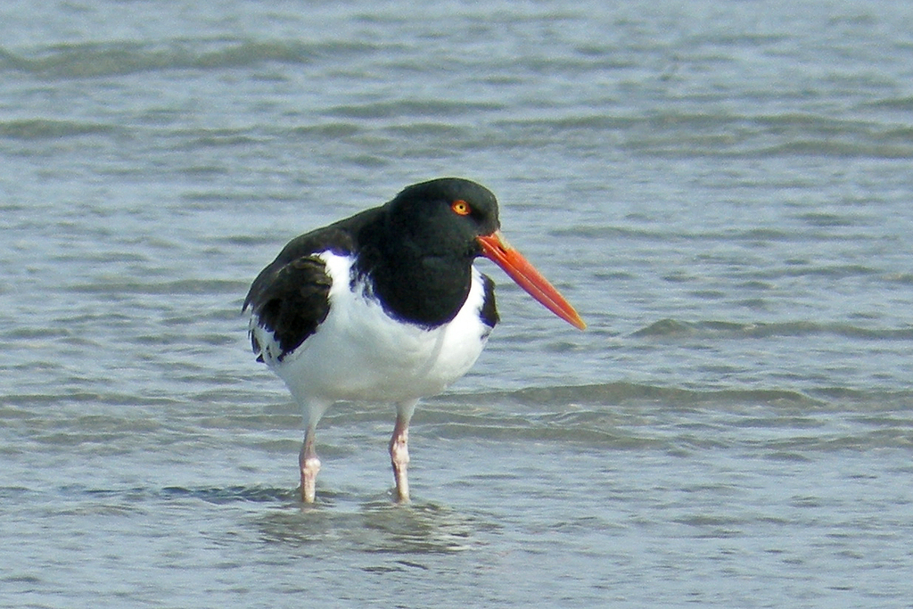
- American OystercatcherHaematopus palliatus
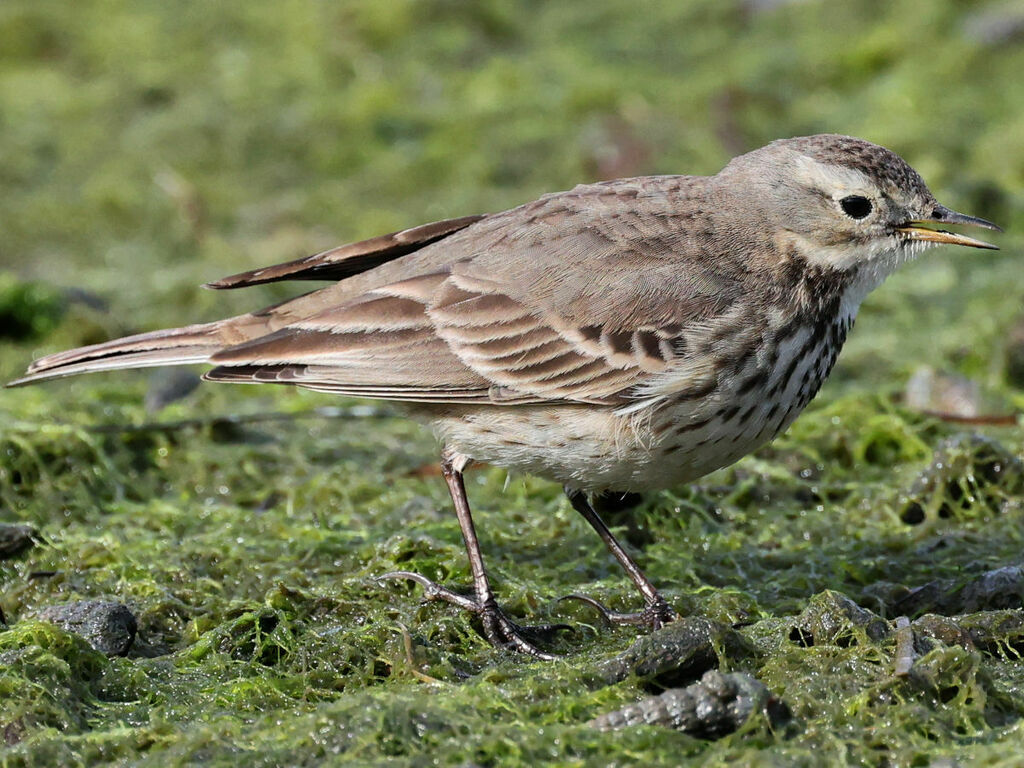
- American PipitAnthus rubescens
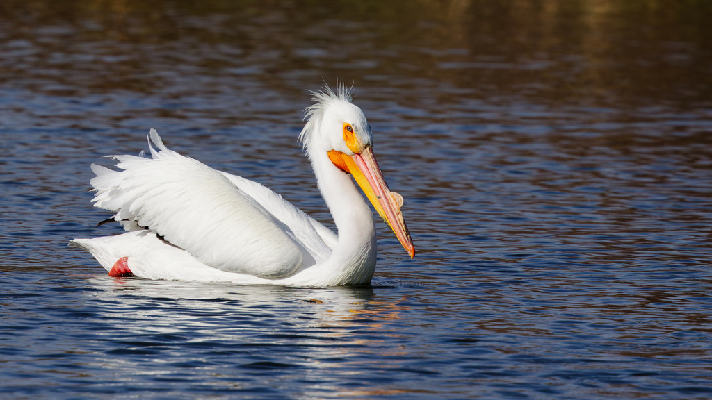
- American White PelicanPelecanus erythrorhynchos
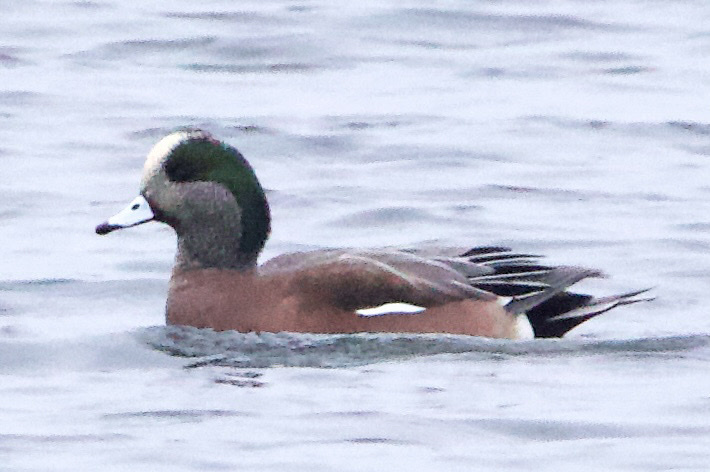
- American WigeonAnas americana
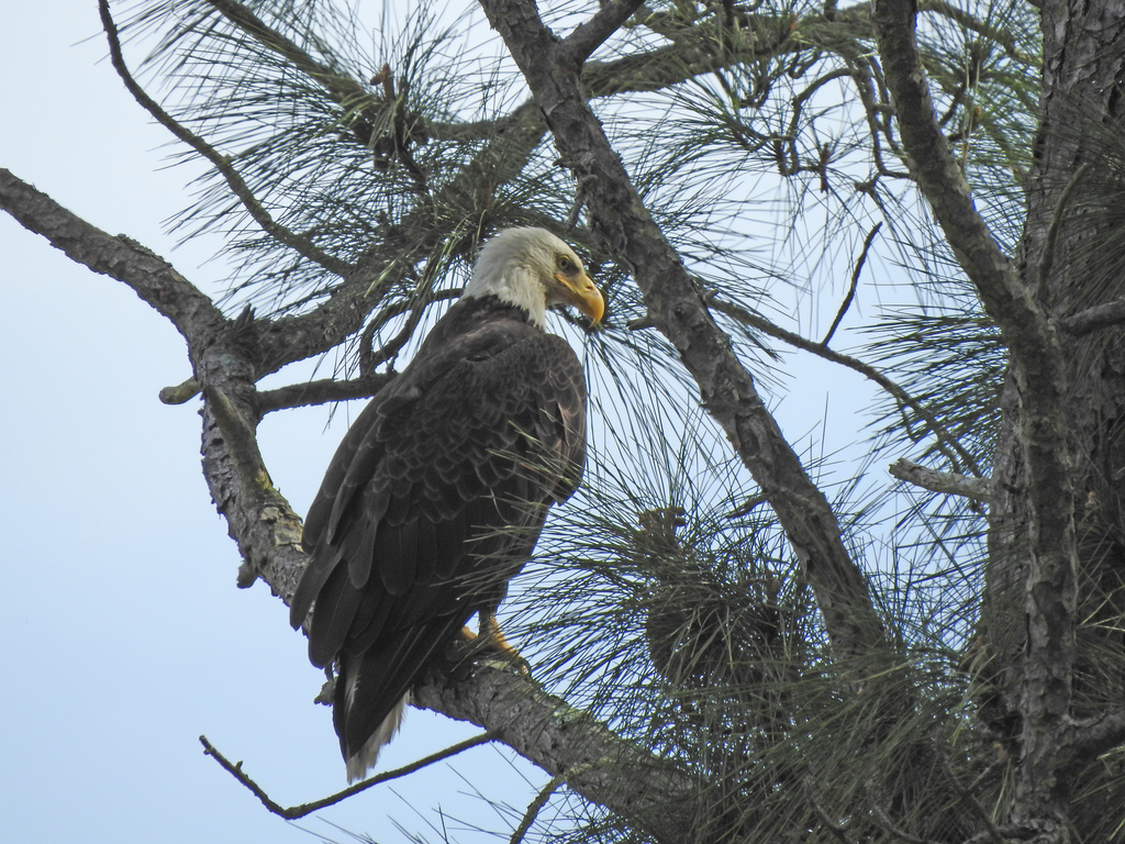
- Bald EagleHaliaeetus leucocephalus
- Bank SwallowRiparia riparia
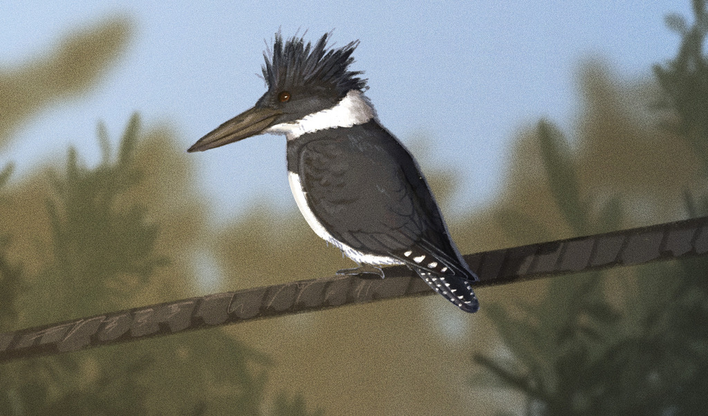
- Belted KingfisherMegaceryle alcyon
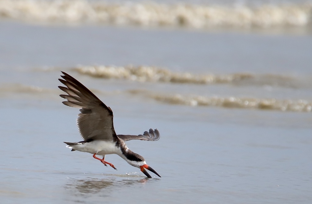
- Black SkimmerRynchops niger
- Black-crowned Night-heronNycticorax nycticorax
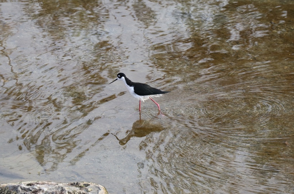
- Black-necked StiltHimantopus mexicanus
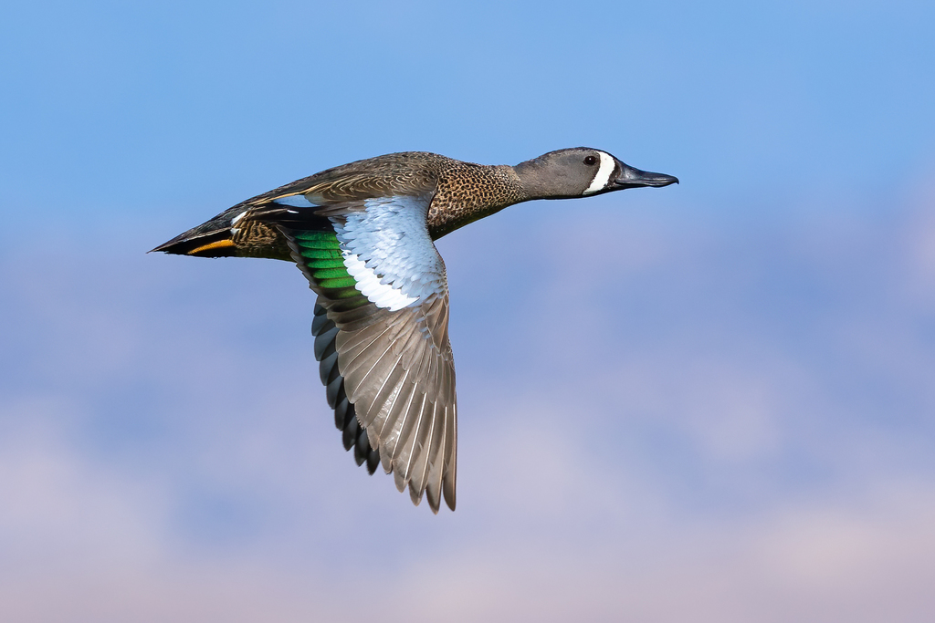
- Blue-winged TealAnas discors
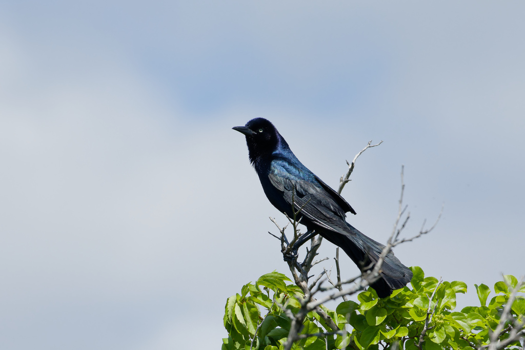
- Boat-tailed GrackleQuiscalus major
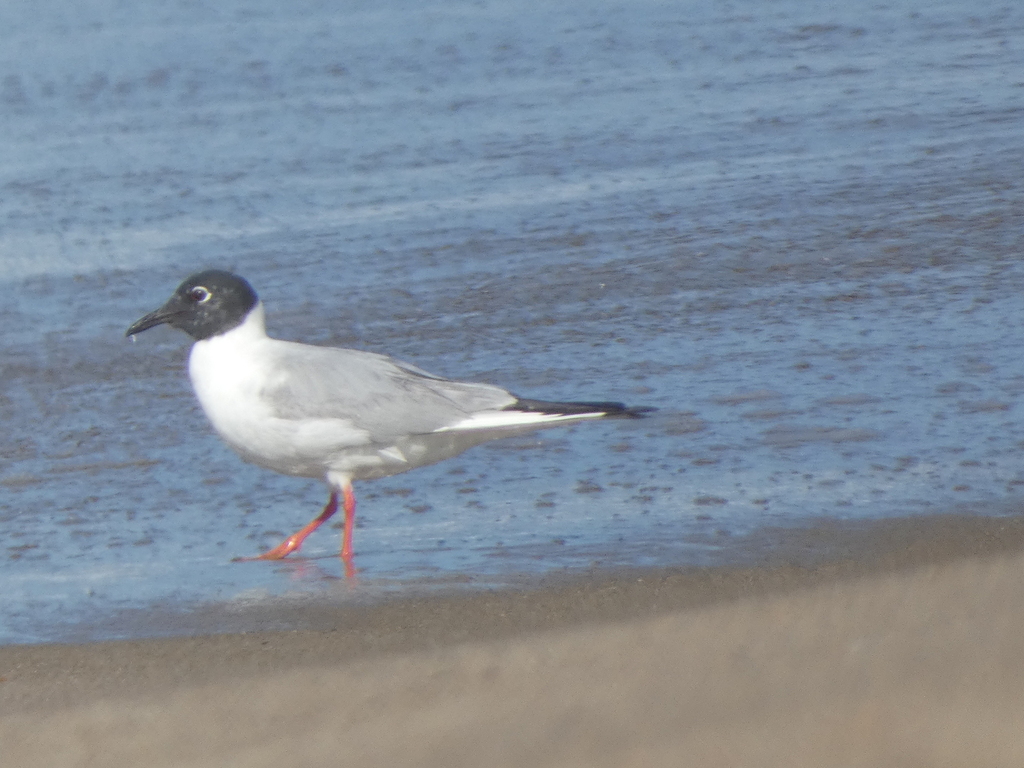
- Bonaparte's GullChroicocephalus philadelphia
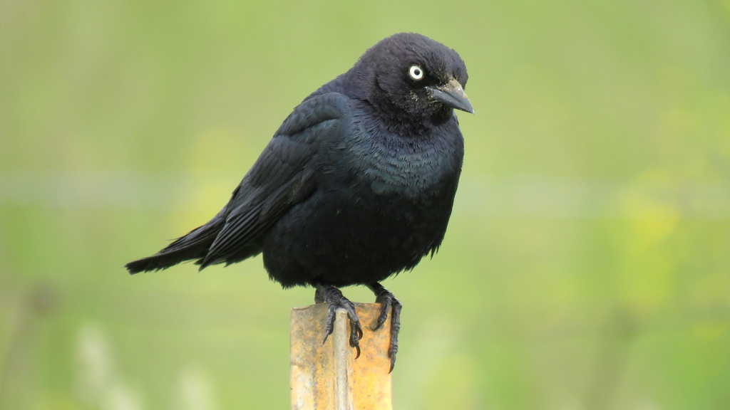
- Brewer's BlackbirdEuphagus cyanocephalus
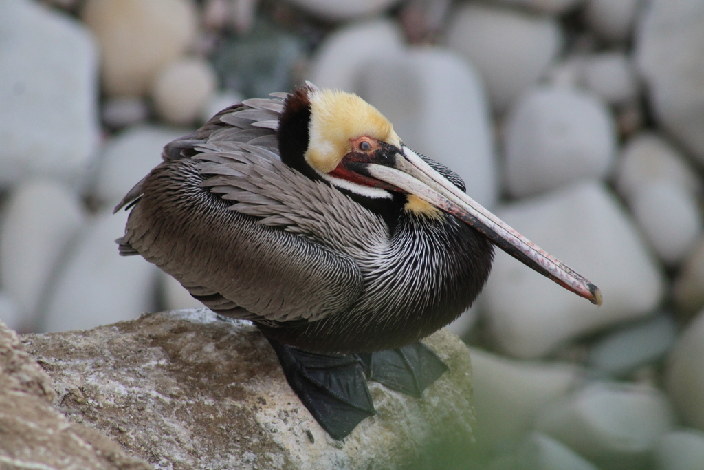
- Brown PelicanPelecanus occidentalis
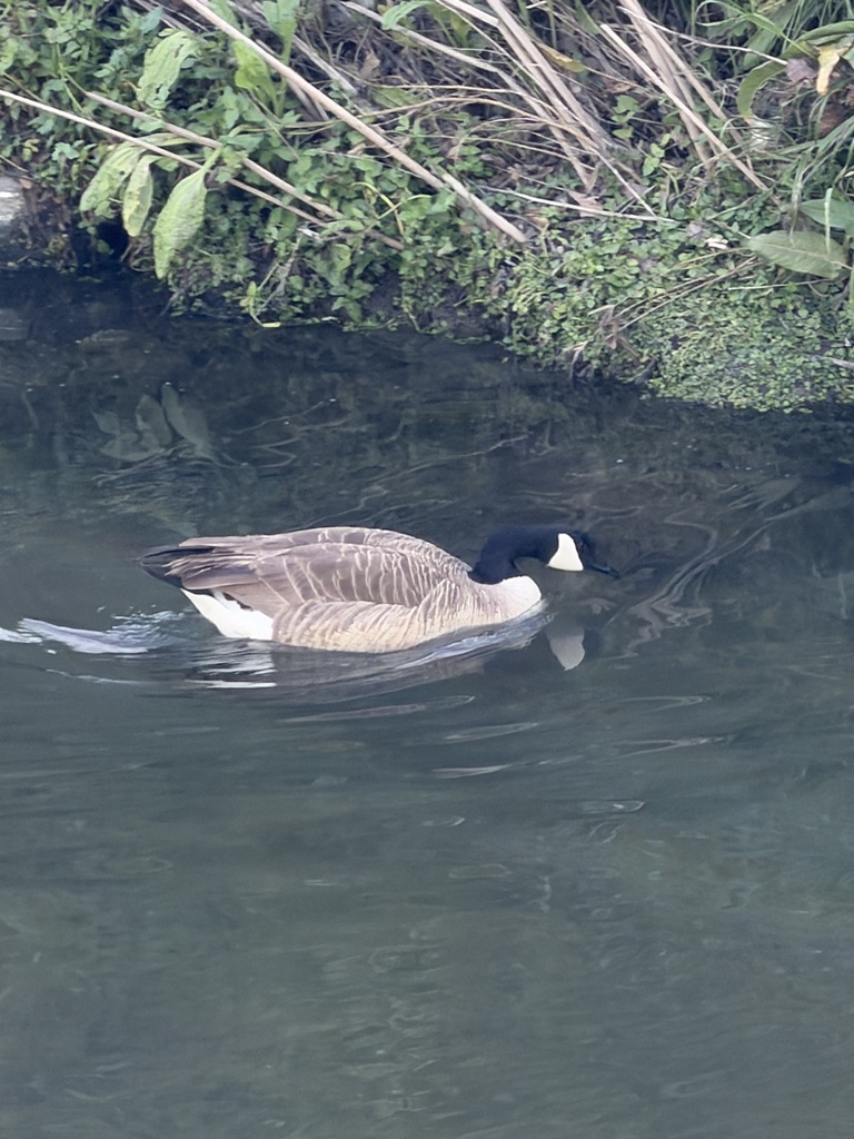
- Canada GooseBranta canadensis
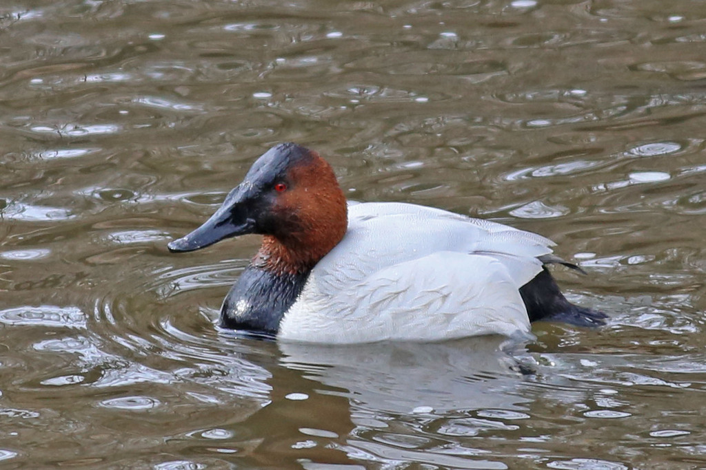
- CanvasbackAythya valisineria
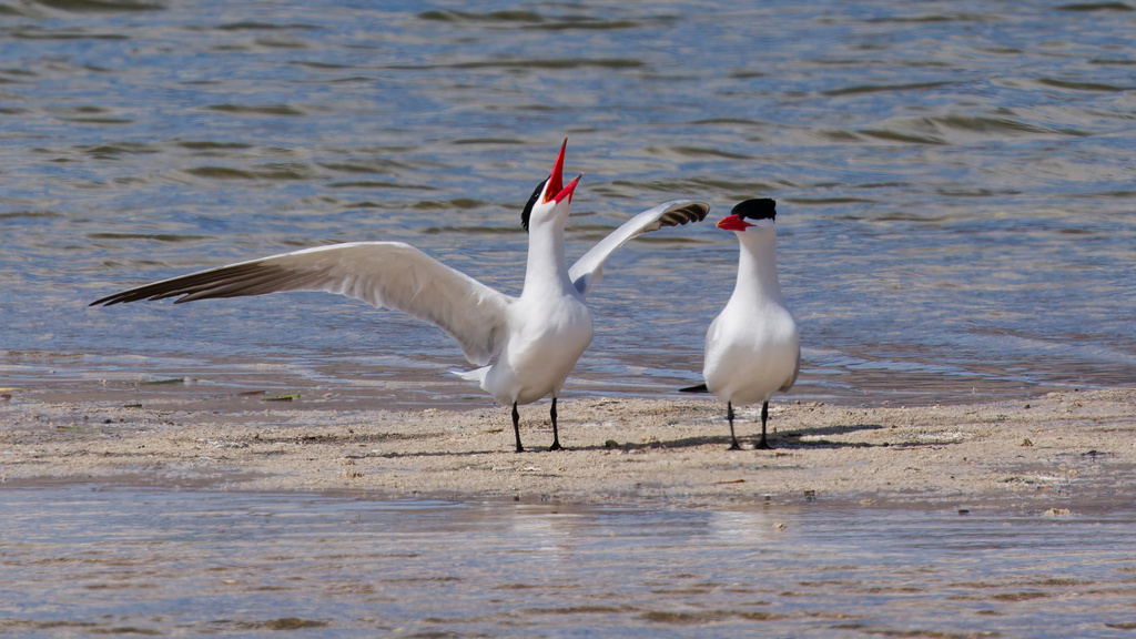
- Caspian TernHydroprogne caspia
- Chimney SwiftChaetura pelagica
- Common NighthawkChordeiles minor




NatureServe Explorer, CC BY 4.0. USGS Gap Analysis Project habitat models.
Sources
- USGS Gap Analysis Project habitat models (2001)
- USGS GAP winter habitat model for Marbled Godwit Brackish or salt water only
- USGS Gap Analysis Project range maps (2001), modeled by watershed; migratory gives no dates
- NatureServe Explorer (CC BY 4.0), habitat names
- US Census TIGER/Line counties
- Names follow the USGS Gap Analysis Project (2001)