

Bird
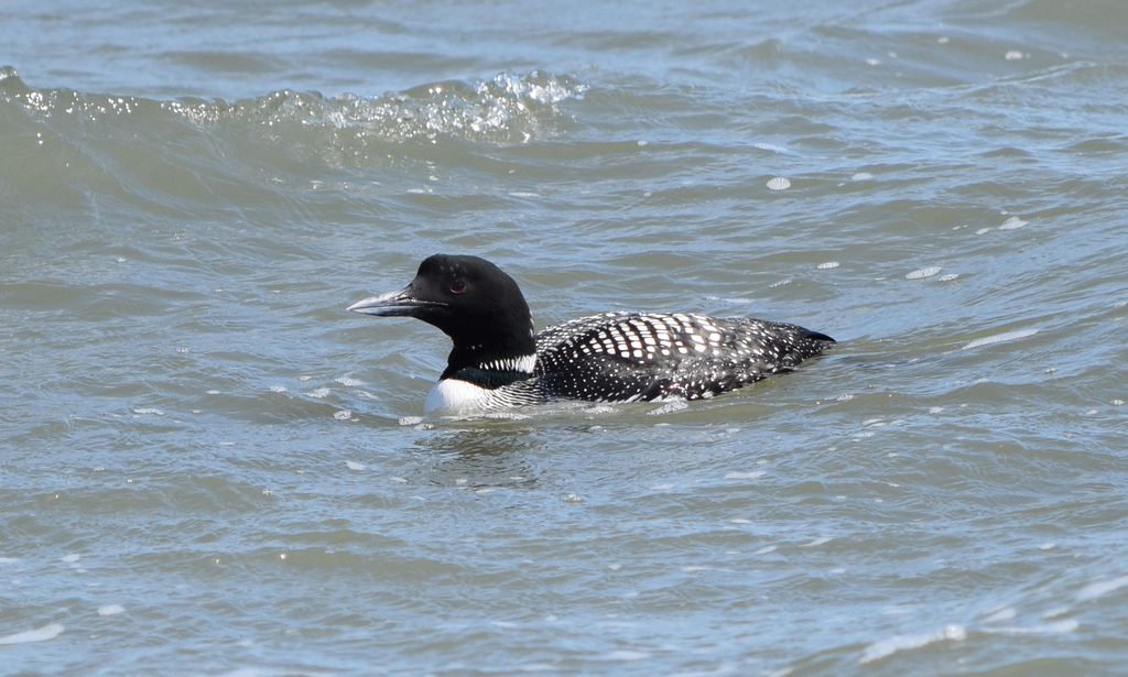
Common Loon
Gavia immer
A winter visitor to Alabama, found in all 67 counties and 5 habitats.
- Here
- Winter and on migration
- Nesting
- Not known to nest here
- Range
- All 67 counties
- Habitats
- 5
At a glance
- Group
- Birds
- Here
- Winter and on migration
- Nesting
- Not known to nest here
- Range
- All 67 counties
- Habitats
- 5
- Habitat models
- Winter
Where it lives
The places its habitat model includes. It is not found everywhere a habitat occurs.
Habitats in Alabama 5
Each habitat page lists the plants and wildlife also found there.
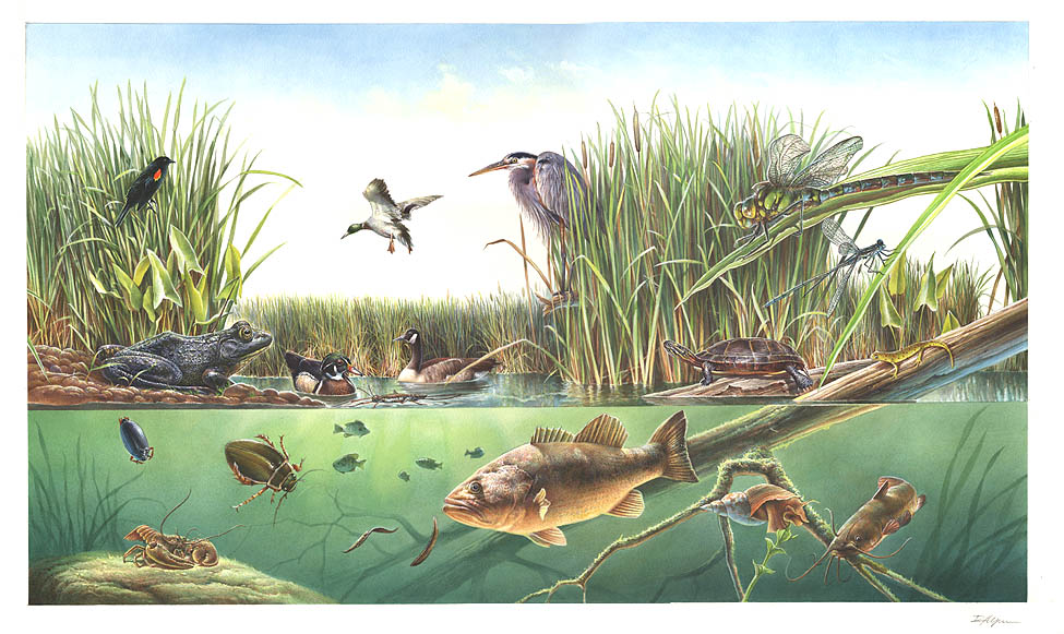
Open sand of beaches, dunes and the hollows between them.
Coastal tidal marshes (salinity not stated)
Tidal marshes of the Atlantic and Gulf coasts where the source does not say whether the water is fresh, brackish or salt. A stated salinity files the marsh under freshwater tidal marshes or salt and brackish marshes instead.
Disturbed and introduced wetlands
Wet ground taken over by weedy or introduced plants after disturbance, such as common reed, Chinese tallow or tamarisk stands; the upland counterpart is roadsides, fields and disturbed ground.
Salt and brackish open water of sounds, bays and estuaries, with the mud and sand flats and seagrass beds that tides cover and uncover; the vegetated marsh is salt and brackish marshes.
Other habitats in its models (18)
Land cover, or classes with no habitat page in Alabama.
- Atlantic Coastal Plain Southern Beach Winter.
- Unconsolidated Shore (Lake/River/Pond) Winter.
- Unconsolidated Shore Winter.
- Southeast Florida Beach Winter.
- South Florida Shell Hash Beach Winter.
- Atlantic Coastal Plain Sea Island Beach Winter.
- Southwest Florida Beach Winter.
- Atlantic Coastal Plain Southern Dune and Maritime Grassland Winter.
- Southwest Florida Dune and Coastal Grassland Winter.
- Atlantic Coastal Plain Central Salt and Brackish Tidal Marsh Winter.
- Atlantic Coastal Plain Indian River Lagoon Tidal Marsh Winter.
- Atlantic Coastal Plain Embayed Region Tidal Salt and Brackish Marsh Winter.
- Atlantic Coastal Plain Embayed Region Tidal Freshwater Marsh Winter.
- Florida Big Bend Fresh-Oligohaline Tidal Marsh Winter.
- Atlantic Coastal Plain Northern Fresh and Oligohaline Tidal Marsh Winter.
- South Florida Bayhead Swamp Winter.
- Atlantic Coastal Plain Central Fresh-Oligohaline Tidal Marsh Winter.
- South Florida Freshwater Slough and Gator Hole Winter.
Seasons in Alabama
- Migratory: does not nest here, in all 67 counties.
- Winter: does not nest here, in 2 of 67 counties.
Also found in this habitat
Plants 32
Plants named in NatureServe descriptions of these habitats that grow in Alabama. Shared habitat, not food.
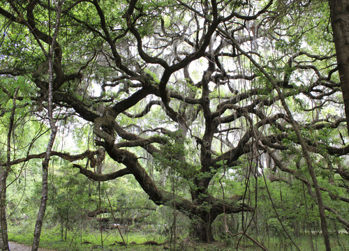
- Live OakQuercus virginiana
- Rhexia salicifoliaRhexia salicifolia
- Serenoa repensSerenoa repens
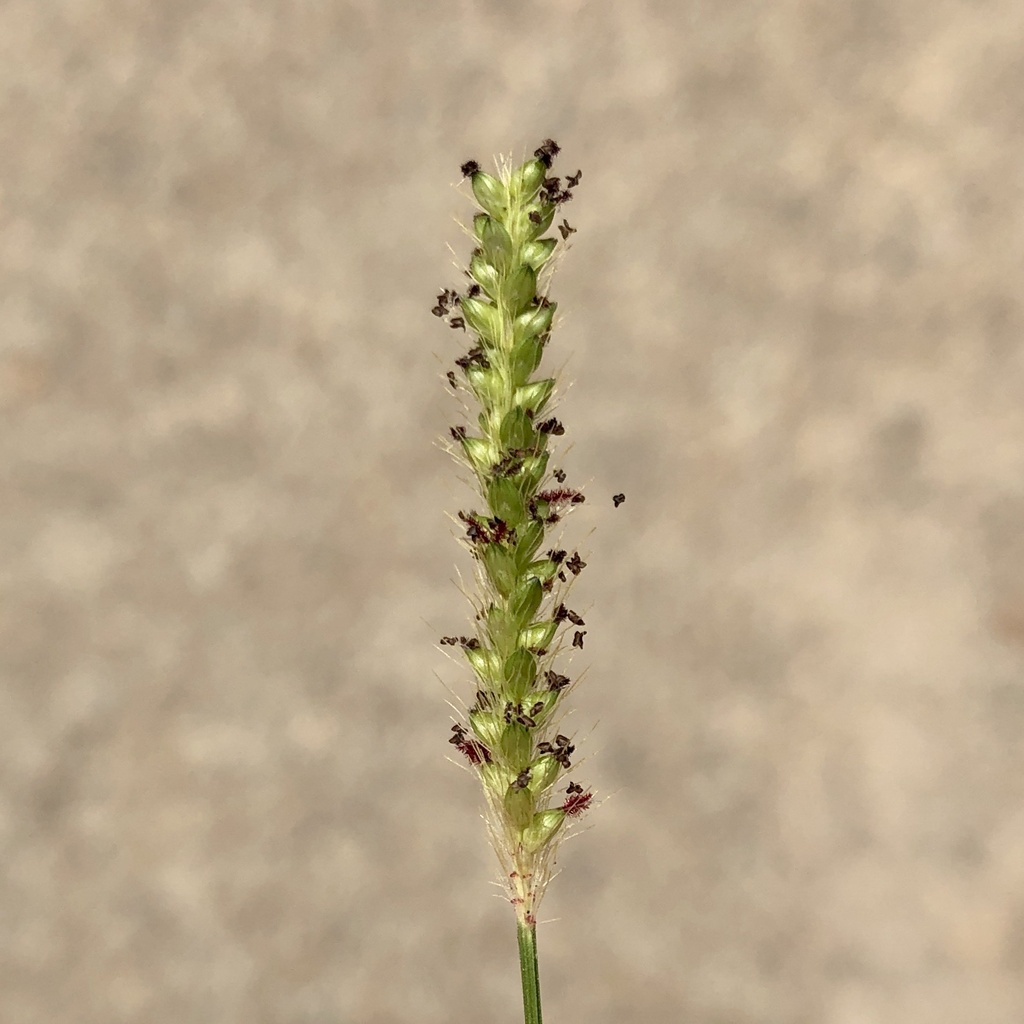
- Marsh BristlegrassSetaria parviflora
- Solidago sempervirens var. mexicanaSolidago mexicana
- Saltmeadow CordgrassSporobolus pumilus
- Seashore DropseedSporobolus virginicus
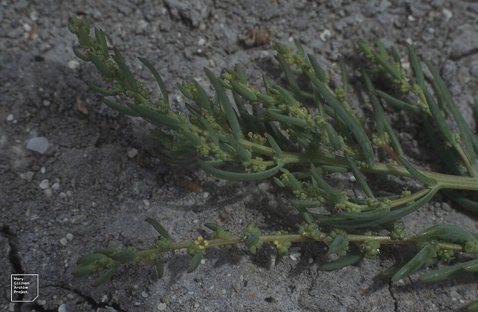
- Annual Sea-bliteSuaeda linearis
Wildlife 218
Other animals whose habitat models include the same habitats in Alabama. Not sighting records.
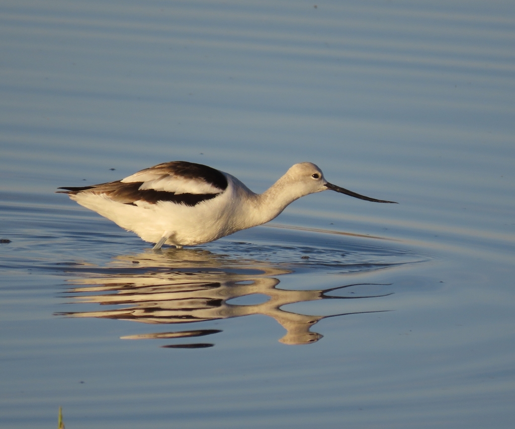
- American AvocetRecurvirostra americana
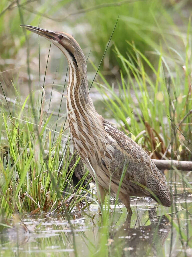
- American BitternBotaurus lentiginosus
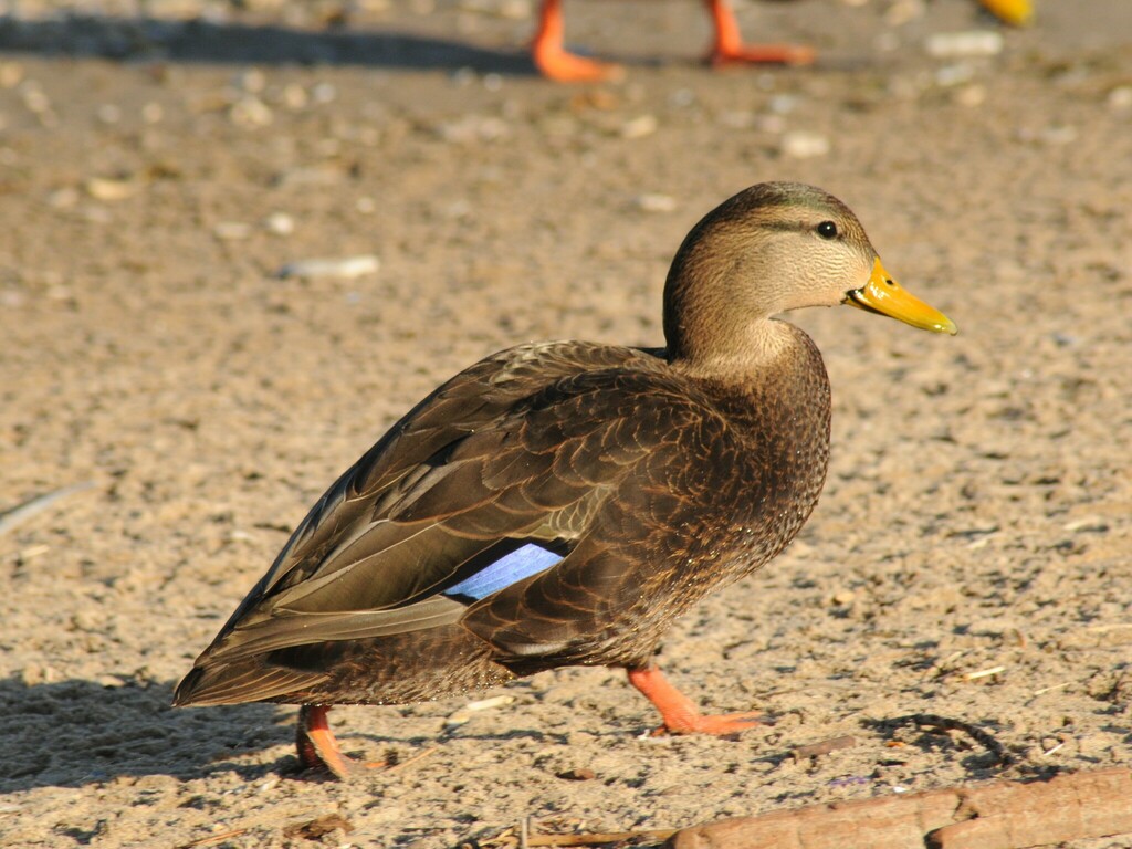
- American Black DuckAnas rubripes
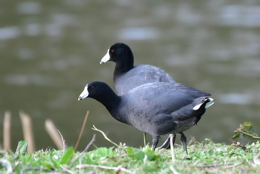
- American CootFulica americana
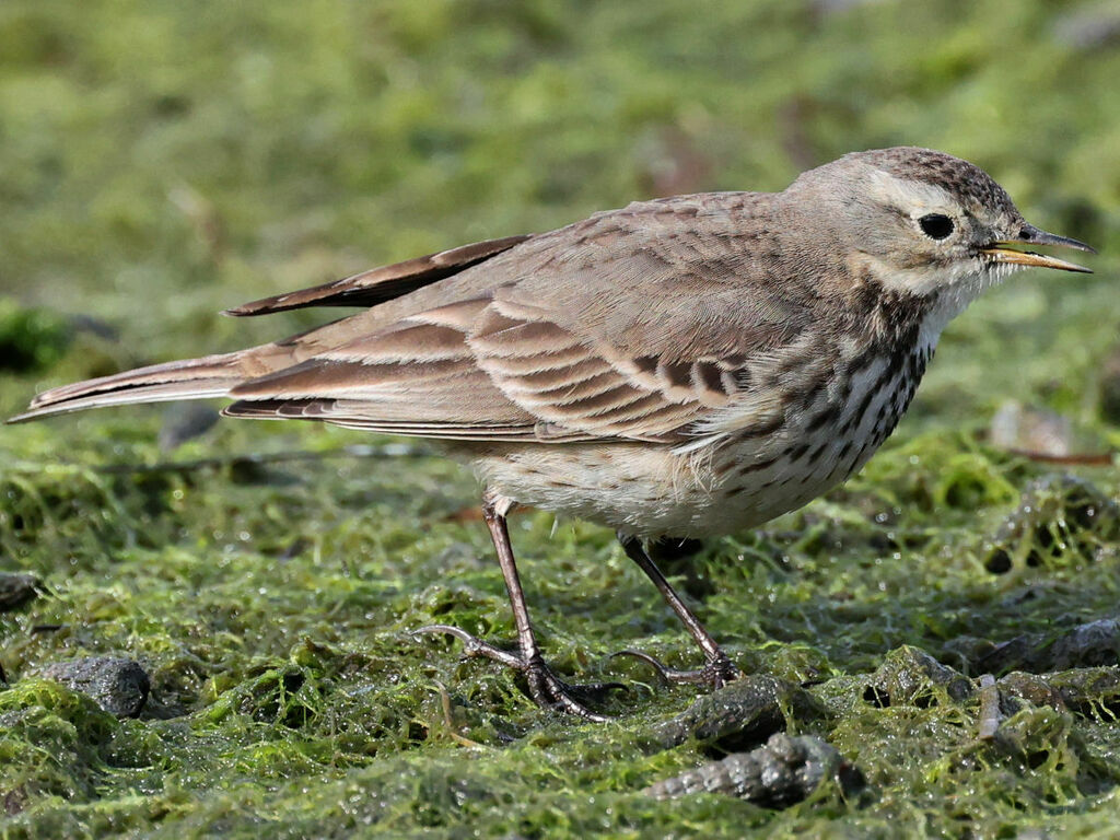
- American PipitAnthus rubescens
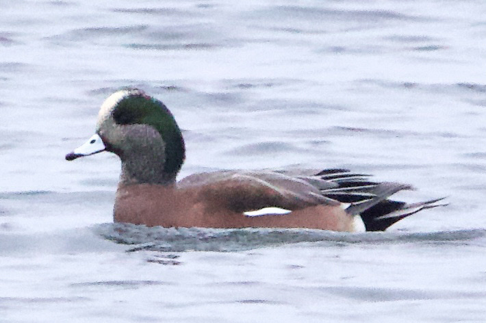
- American WigeonAnas americana
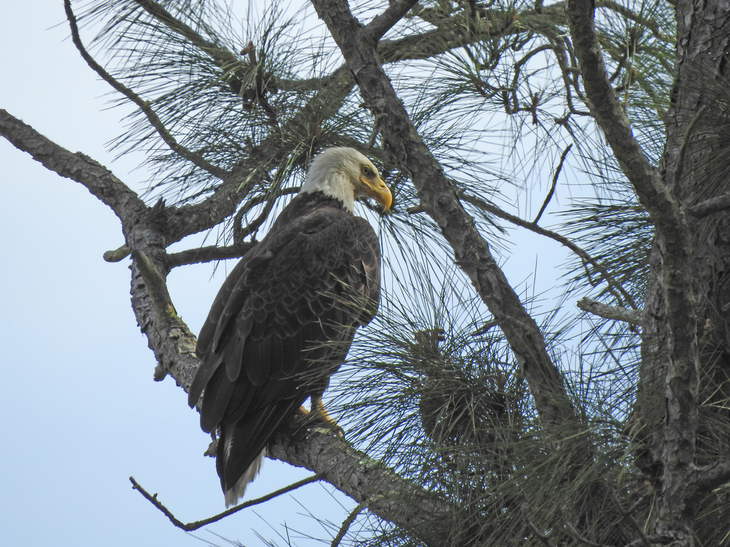
- Bald EagleHaliaeetus leucocephalus
- Bank SwallowRiparia riparia
- Belted KingfisherMegaceryle alcyon
- Black-crowned Night-heronNycticorax nycticorax
- Black-necked StiltHimantopus mexicanus
- Boat-tailed GrackleQuiscalus major
- Bonaparte's GullChroicocephalus philadelphia
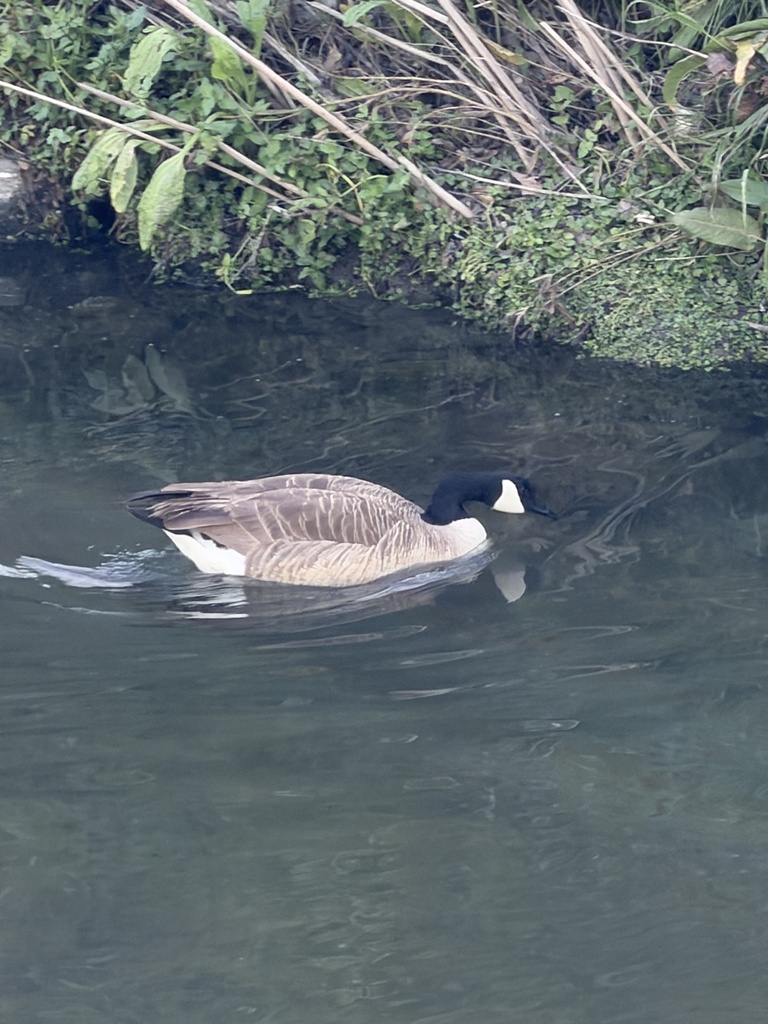
- Canada GooseBranta canadensis
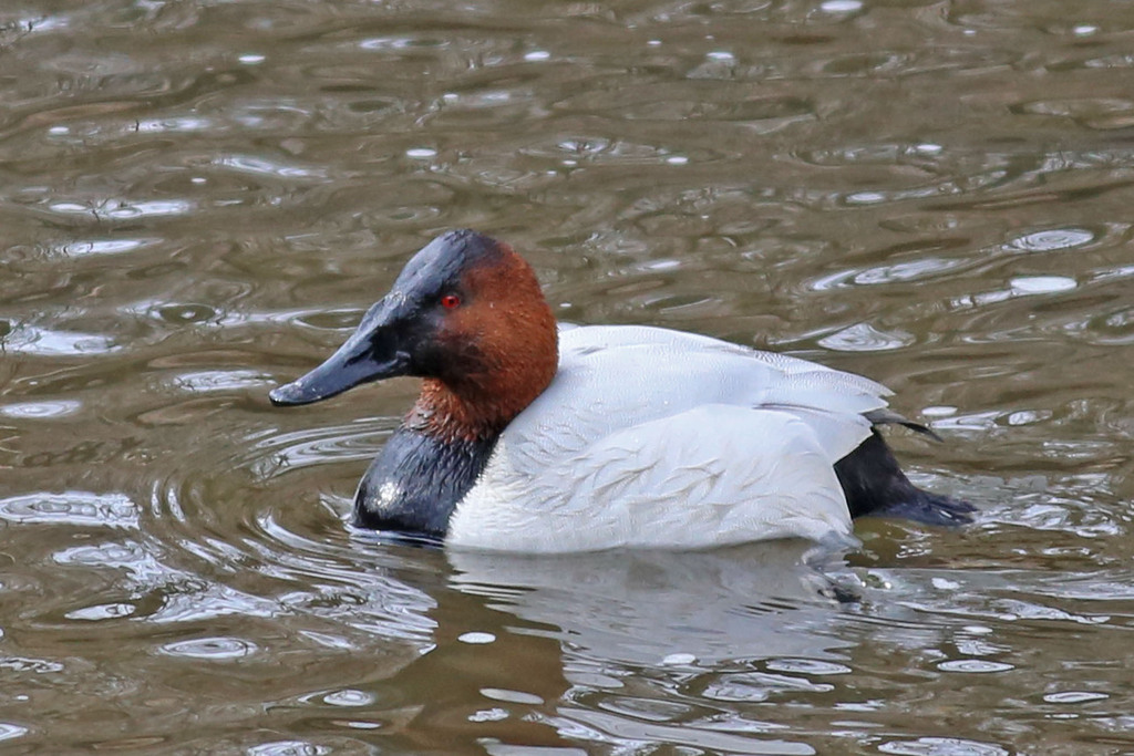
- CanvasbackAythya valisineria
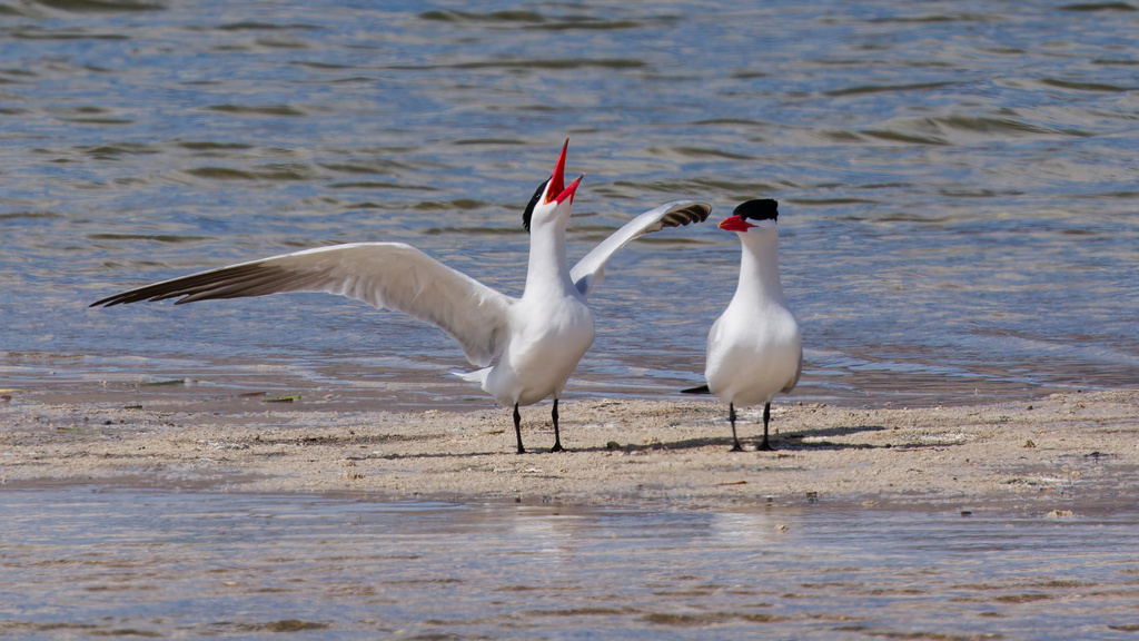
- Caspian TernHydroprogne caspia
- Common NighthawkChordeiles minor
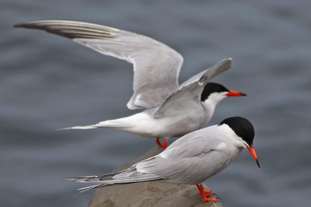
- Common TernSterna hirundo
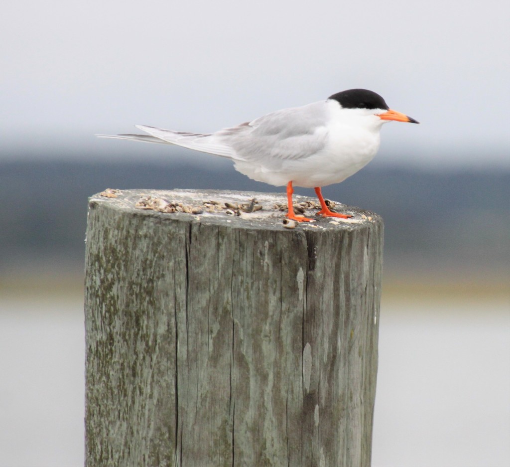
- Forster's TernSterna forsteri
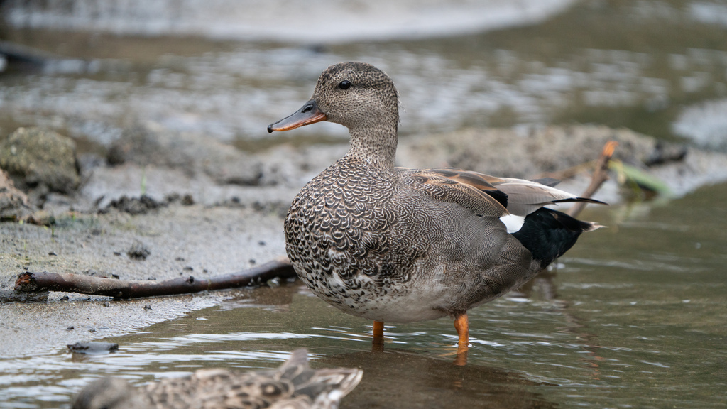
- GadwallAnas strepera
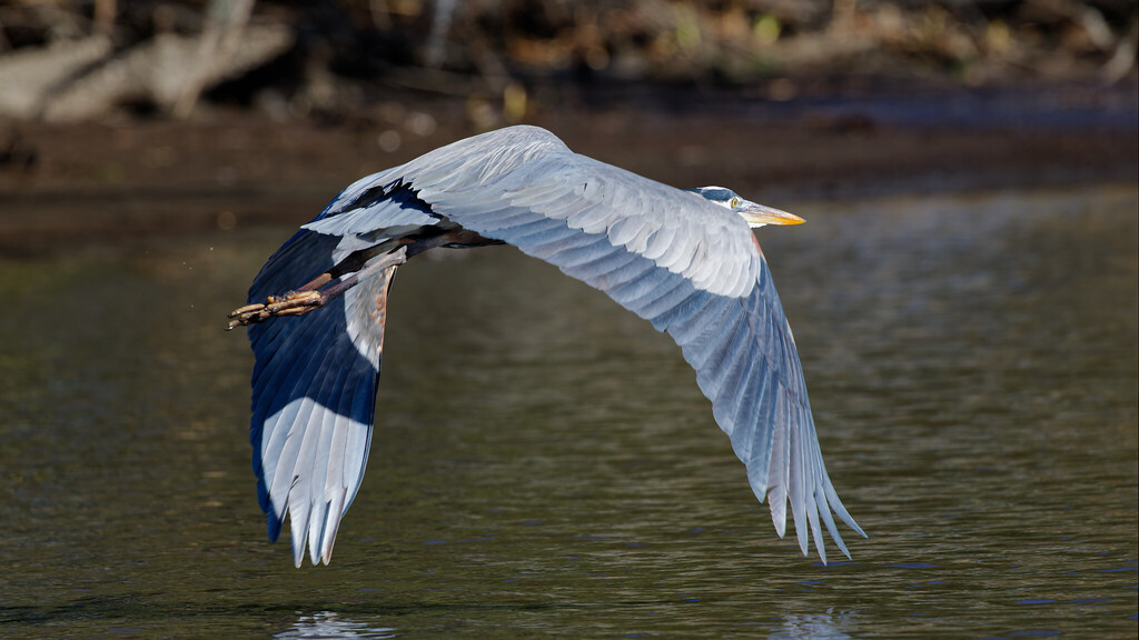
- Great Blue HeronArdea herodias
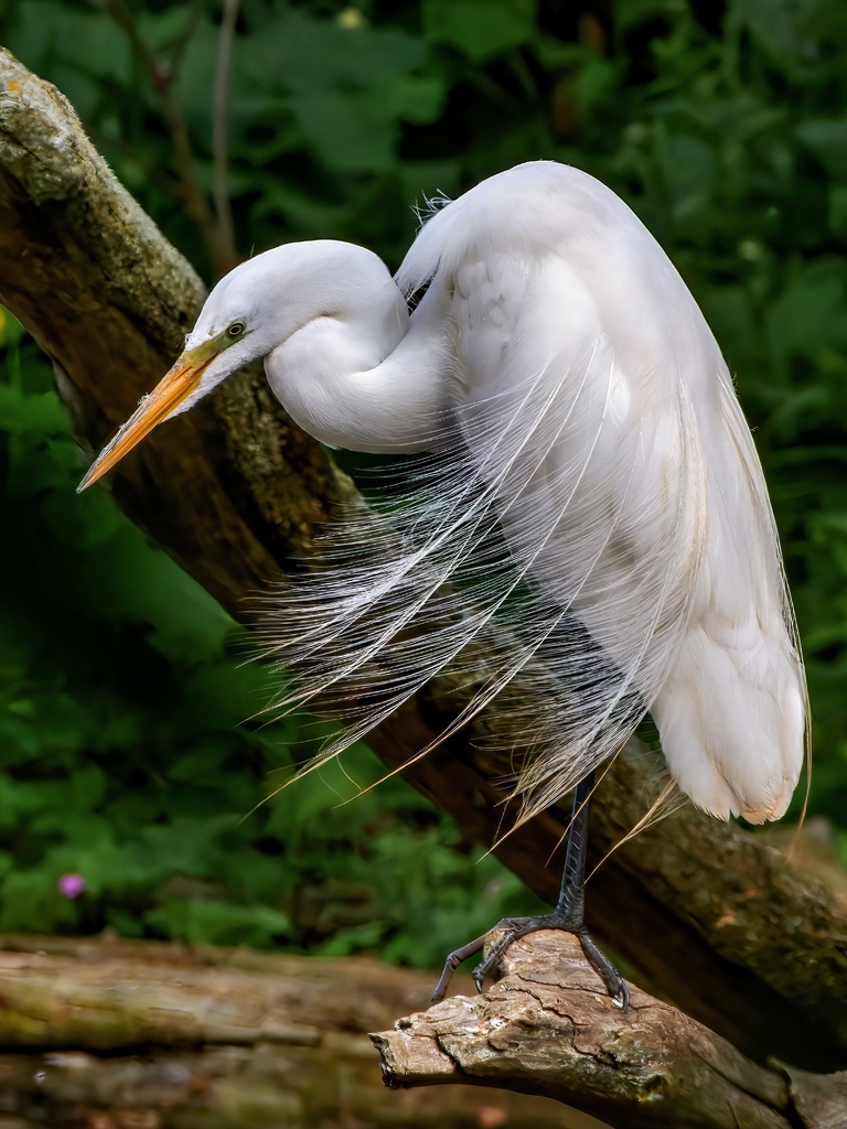
- Great EgretArdea alba
- Great Horned OwlBubo virginianus
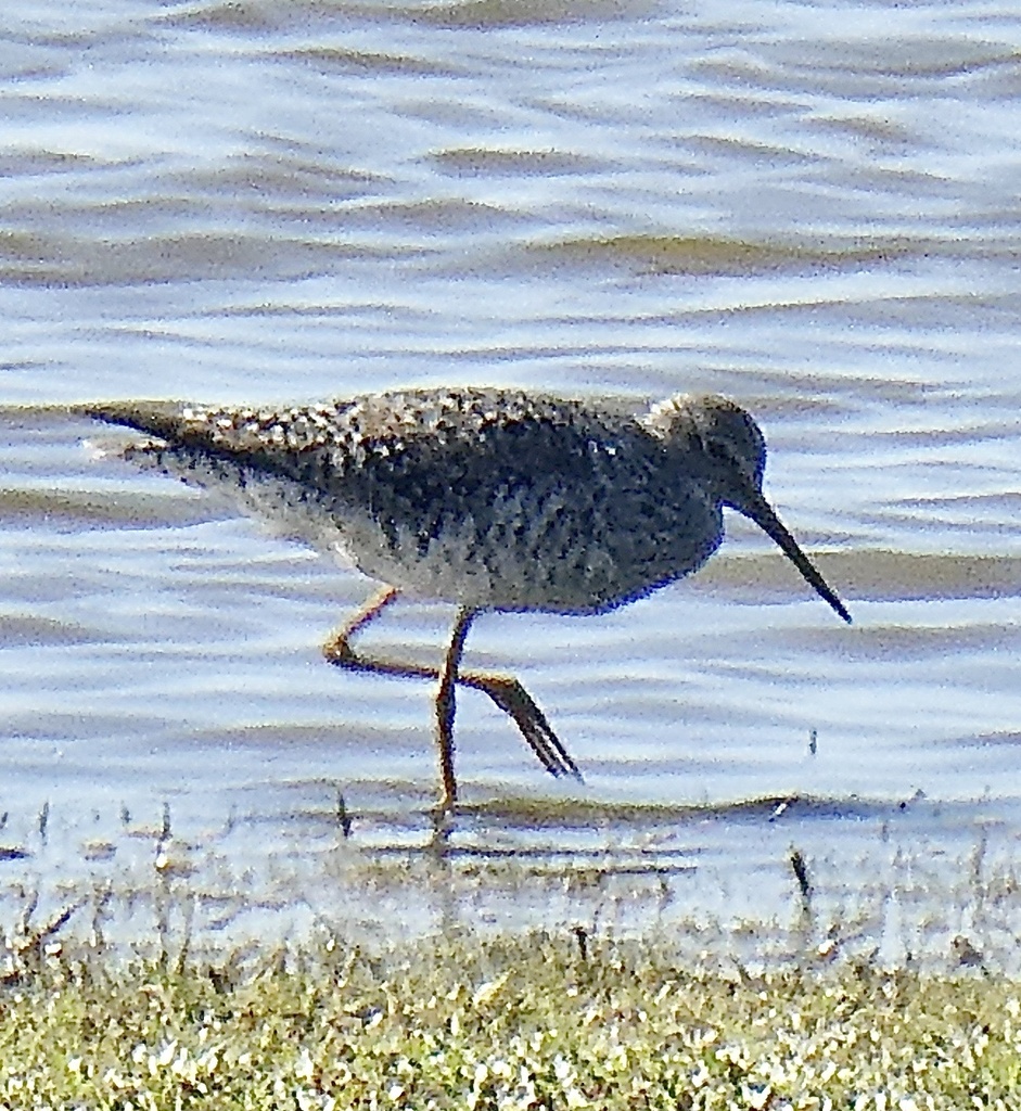
- Greater YellowlegsTringa melanoleuca

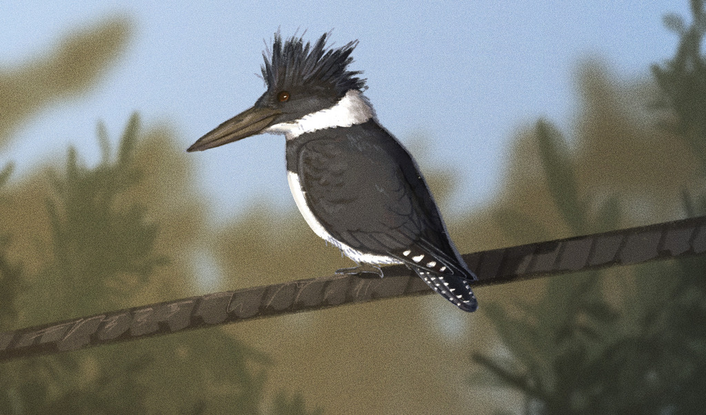

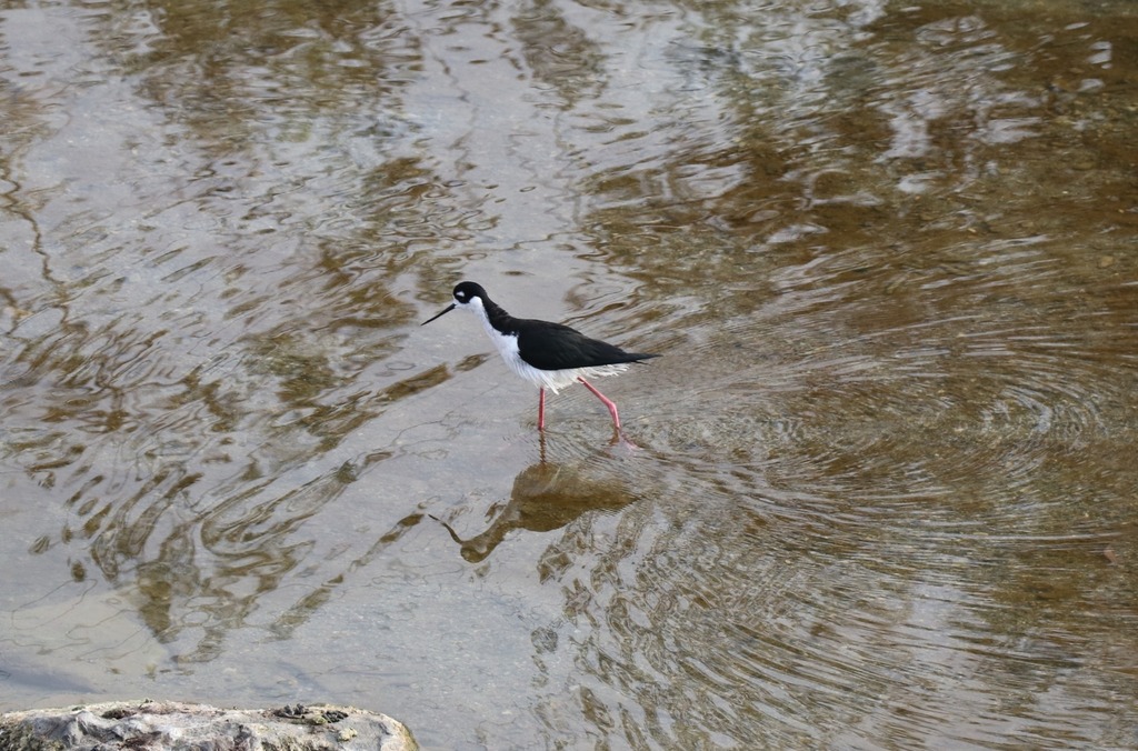
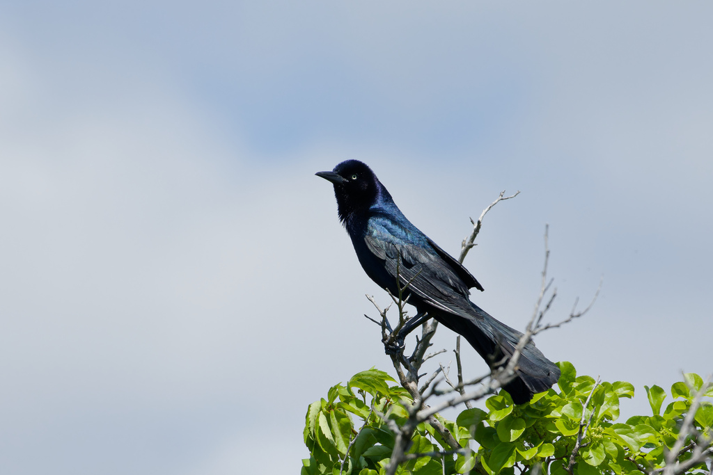
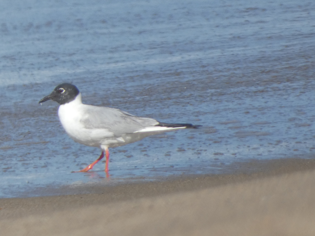


NatureServe Explorer, CC BY 4.0. USGS Gap Analysis Project habitat models.
Sources
- USGS Gap Analysis Project habitat models (2001)
- USGS GAP winter habitat model for Common Loon Slow streams only
- USGS Gap Analysis Project range maps (2001), modeled by watershed; migratory gives no dates
- NatureServe Explorer (CC BY 4.0), habitat names
- US Census TIGER/Line counties
- Names follow the USGS Gap Analysis Project (2001)