

Bird
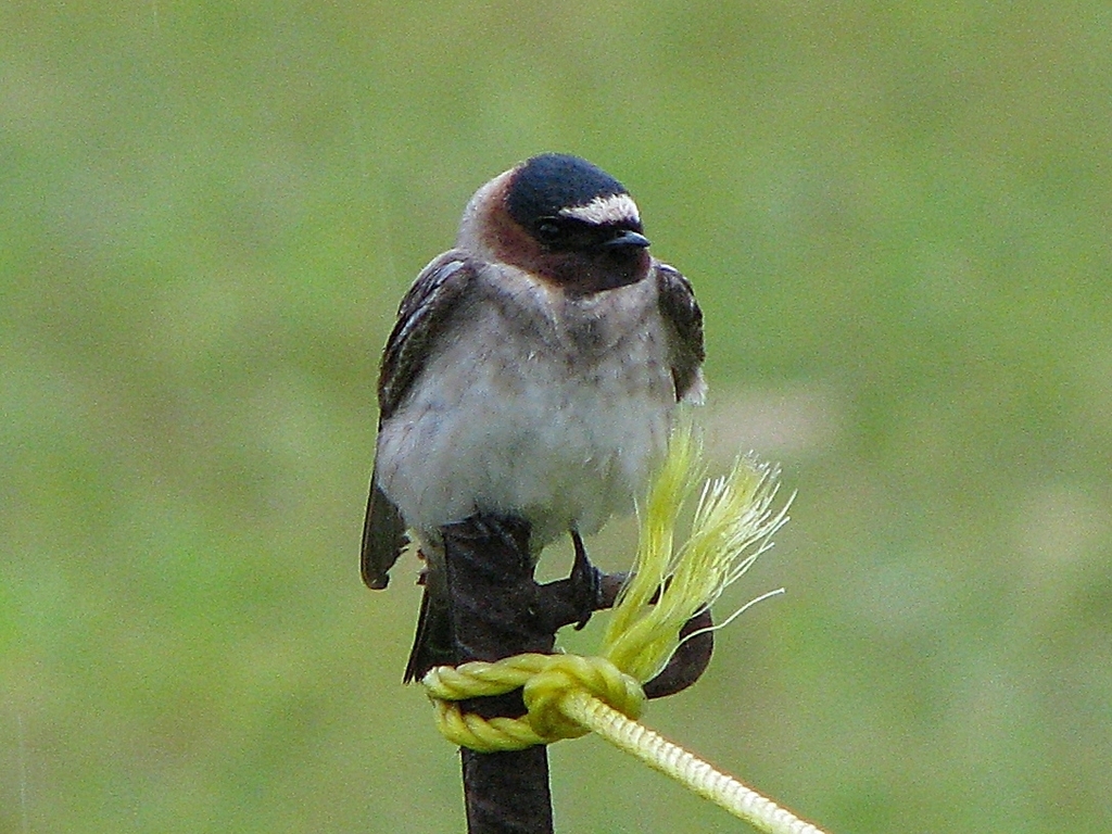
Cliff Swallow
Petrochelidon pyrrhonota
A summer resident that nests in Alabama. Found in all 67 counties, across 12 habitats.
- Here
- Summer and on migration
- Nesting
- Nests here
- Range
- All 67 counties
- Habitats
- 12
At a glance
- Group
- Birds
- Here
- Summer and on migration
- Nesting
- Nests here
- Range
- All 67 counties
- Habitats
- 12
- Habitat models
- Summer
Where it lives
The places its habitat model includes. It is not found everywhere a habitat occurs.
Habitats in Alabama 12
Each habitat page lists the plants and wildlife also found there.
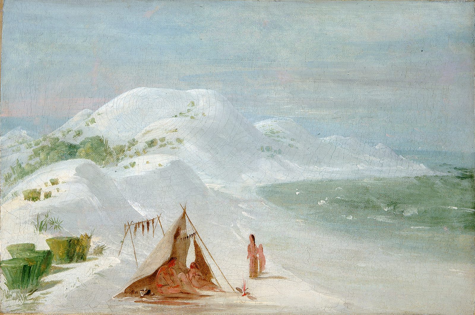
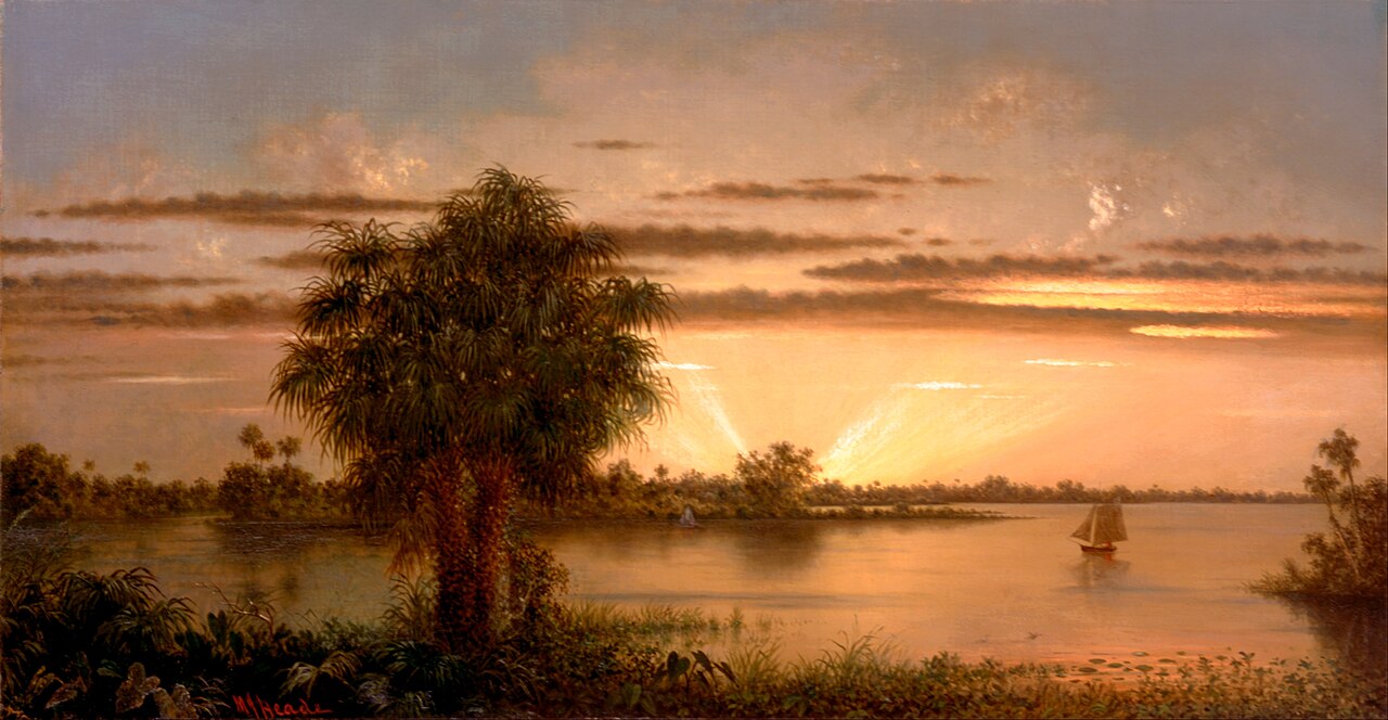
Streams, rivers and their banks
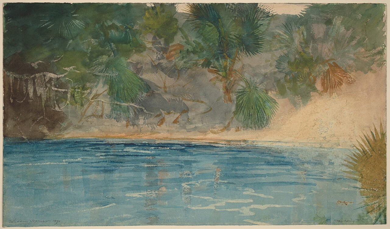
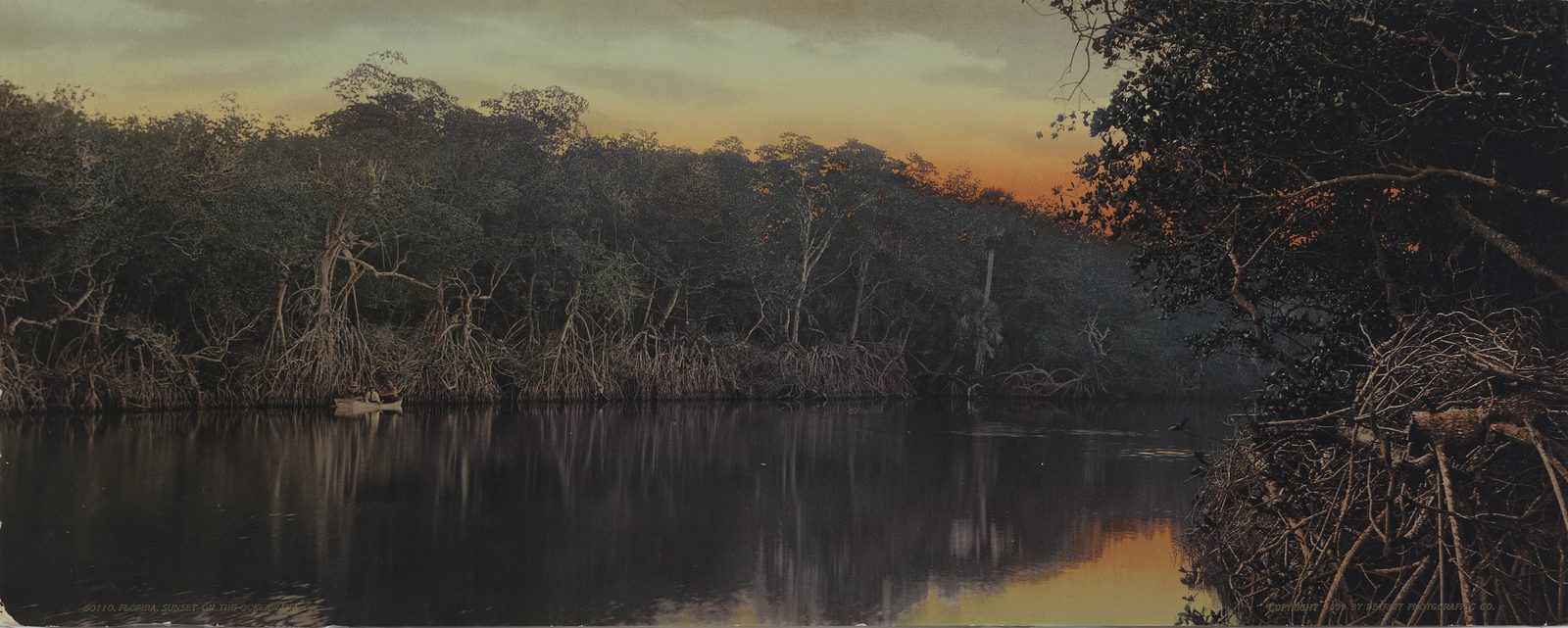
Disturbed and introduced wetlands
Wet ground taken over by weedy or introduced plants after disturbance, such as common reed, Chinese tallow or tamarisk stands; the upland counterpart is roadsides, fields and disturbed ground.
Floodplain and bottomland forests
Forests on low ground beside rivers and streams that flood from time to time.
Flat, poorly drained uplands and terraces with oaks, sweetgum and sometimes loblolly pine, wet in winter and dry in summer, but neither a floodplain nor a swamp.
Cliffs, ledges and rocky summits
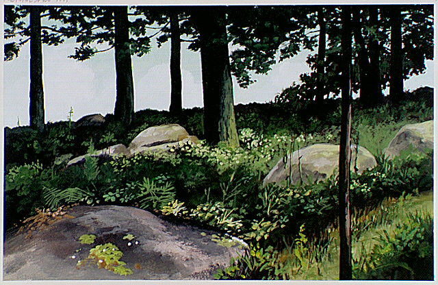
Forests and open woodlands on dry ridges and slopes, often oak or pine.
Borders of forests, clearings and shrubby thickets.
Granite and other acidic rock outcrops
Bare or thin-soil rock on granite, gneiss, sandstone, quartzite and similar acidic rock, including granite flatrocks and domes.
Roadsides, fields and disturbed ground
Ground opened by people: roadsides, old fields, pastures, fencerows and lots.
Other habitats in its models (64)
Land cover, or classes with no habitat page in Alabama. Those recorded in Alabama first, the rest by region.
In Alabama 1
- Southern Piedmont Glade and Barrens Summer, only within 2,000 m of water.
Elsewhere in the South (28)
- Central and Upper Texas Coast Dune and Coastal Grassland Summer.
- Central Florida Herbaceous Pondshore Summer.
- Central Florida Herbaceous Seep Summer.
- Central Florida Pine Flatwoods Summer, only within 2,000 m of water.
- East-Central Texas Plains Post Oak Savanna and Woodland Summer, only within 2,000 m of water.
- East-Central Texas Plains Riparian Forest Summer.
- Edwards Plateau Limestone Savanna and Woodland Summer, only within 2,000 m of water.
- Nashville Basin Limestone Glade Summer, only within 2,000 m of water.
- Ozark-Ouachita Riparian Summer.
- Red River Large Floodplain Forest Summer.
- Southeastern Great Plains Tallgrass Prairie Summer, only within 2,000 m of water.
- Southern and Central Appalachian Bog and Fen Summer.
- Southern Appalachian Montane Cliff Summer, only within 2,000 m of water.
- Southern Appalachian Rocky Summit Summer, only within 2,000 m of water.
- Southern Blackland Tallgrass Prairie Summer, only within 2,000 m of water.
- Texas Saline Coastal Prairie Summer.
- Texas-Louisiana Coastal Prairie Summer, only within 2,000 m of water.
- West Gulf Coastal Plain Catahoula Barrens Summer, only within 2,000 m of water.
- West Gulf Coastal Plain Large River Floodplain Forest Summer.
- West Gulf Coastal Plain Near-Coast Large River Swamp Summer.
- West Gulf Coastal Plain Nepheline Syenite Glade Summer, only within 2,000 m of water.
- West Gulf Coastal Plain Nonriverine Wet Hardwood Flatwoods Summer.
- West Gulf Coastal Plain Northern Calcareous Prairie Summer, only within 2,000 m of water.
- West Gulf Coastal Plain Pine-Hardwood Flatwoods Summer, only within 2,000 m of water.
- West Gulf Coastal Plain Seepage Swamp and Baygall Summer.
- West Gulf Coastal Plain Small Stream and River Forest Summer.
- West Gulf Coastal Plain Southern Calcareous Prairie Summer, only within 2,000 m of water.
- West Gulf Coastal Plain Wet Longleaf Pine Savanna and Flatwoods Summer.
Northeast (5)
- North-Central Appalachian Acidic Cliff and Talus Summer, only within 2,000 m of water.
- North-Central Appalachian Circumneutral Cliff and Talus Summer, only within 2,000 m of water.
- North-Central Interior Wet Flatwoods Summer.
- Northeastern Interior Pine Barrens Summer, only within 2,000 m of water.
- Northern Atlantic Coastal Plain Basin Swamp and Wet Hardwood Forest Summer.
Midwest (8)
- Central Interior Acidic Cliff and Talus Summer, only within 2,000 m of water.
- Central Interior Calcareous Cliff and Talus Summer, only within 2,000 m of water.
- Central Mixedgrass Prairie Summer, only within 2,000 m of water.
- Central Tallgrass Prairie Summer, only within 2,000 m of water.
- North-Central Interior Oak Savanna Summer, only within 2,000 m of water.
- North-Central Interior Sand and Gravel Tallgrass Prairie Summer, only within 2,000 m of water.
- North-Central Oak Barrens Summer, only within 2,000 m of water.
- Western Great Plains Wooded Draw and Ravine Summer, only within 2,000 m of water.
Land cover and other classes (22)
- Arkansas Valley Prairie and Woodland Summer, only within 2,000 m of water.
- Central Appalachian Riparian - Forest Modifier Summer.
- Central Interior and Appalachian Shrub-Herbaceous Wetland Systems Summer.
- Developed, Low Intensity Summer, only within 2,000 m of water.
- Developed, Medium Intensity Summer, only within 2,000 m of water.
- Eastern Great Plains Floodplain Systems Summer.
- Eastern Great Plains Wet Meadow, Prairie, and Marsh Summer.
- Eastern Highland Rim Prairie and Barrens - Dry Modifier Summer, only within 2,000 m of water.
- Harvested Forest - Grass/Forb Regeneration Summer, only within 2,000 m of water.
- Introduced Upland Vegetation - Annual Grassland Summer, only within 2,000 m of water.
- Introduced Upland Vegetation - Forbland Summer, only within 2,000 m of water.
- Introduced Upland Vegetation - Perennial Grassland Summer, only within 2,000 m of water.
- Modified/Managed Southern Tall Grassland Summer, only within 2,000 m of water.
- Open Water (Aquaculture) Summer.
- Recently Burned Grassland Summer, only within 2,000 m of water.
- Recently Burned Shrubland Summer, only within 2,000 m of water.
- South-Central Interior Large Floodplain - Herbaceous Modifier Summer.
- Tamaulipan Riparian Systems Summer.
- Texas-Louisiana Coastal Prairie Slough Summer.
- Unconsolidated Shore (Lake/River/Pond) Summer.
- Western Great Plains Depressional Wetland Systems Summer.
- Western Great Plains Floodplain Systems Summer.
Seasons in Alabama
- Migratory: does not nest here, in 23 of 67 counties.
- Summer: nests here, in 66 of 67 counties.
Also found in its main habitats
Its main habitats in Alabama, by how much of its habitat model each one is, with the birds most characteristic of each and the plants that grow wild there. Shared habitat, not food.
Roadsides, fields and disturbed ground
Birds 114
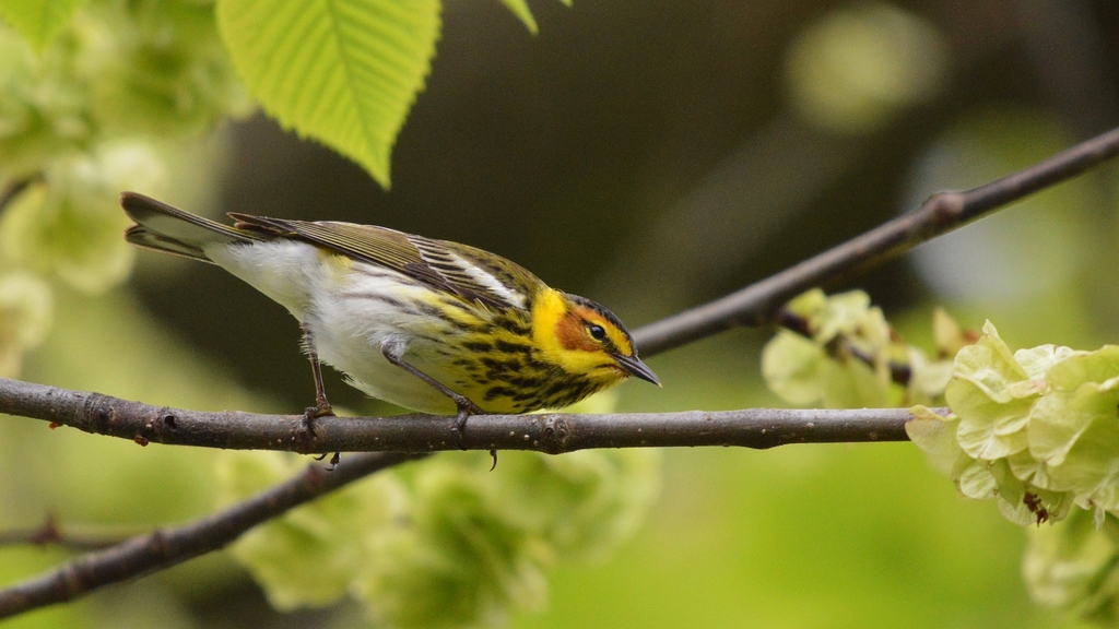
- Cape May WarblerDendroica tigrina
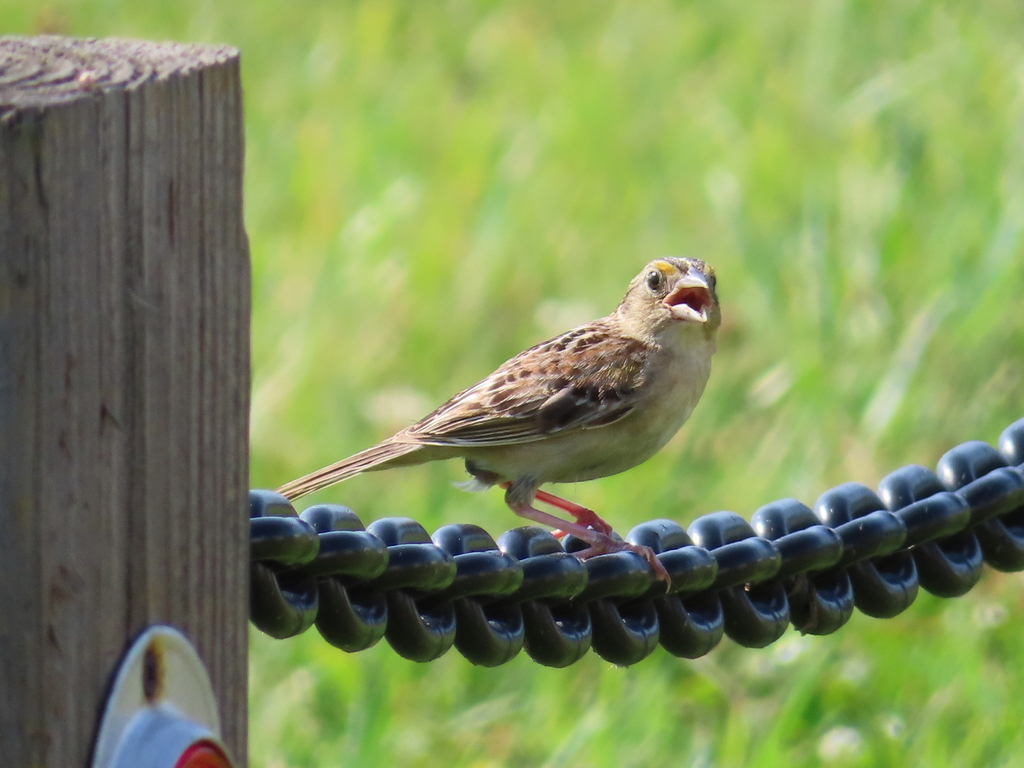
- Grasshopper SparrowAmmodramus savannarum
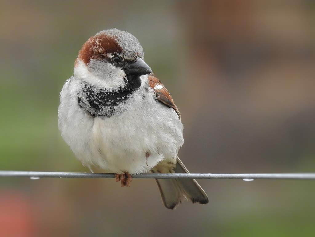
- House SparrowPasser domesticus
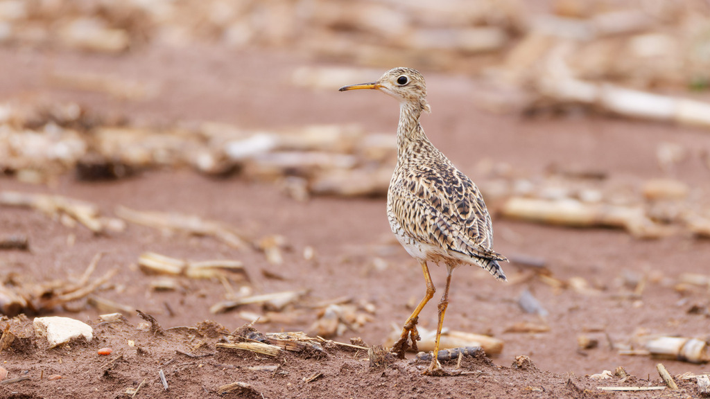
- Upland SandpiperBartramia longicauda
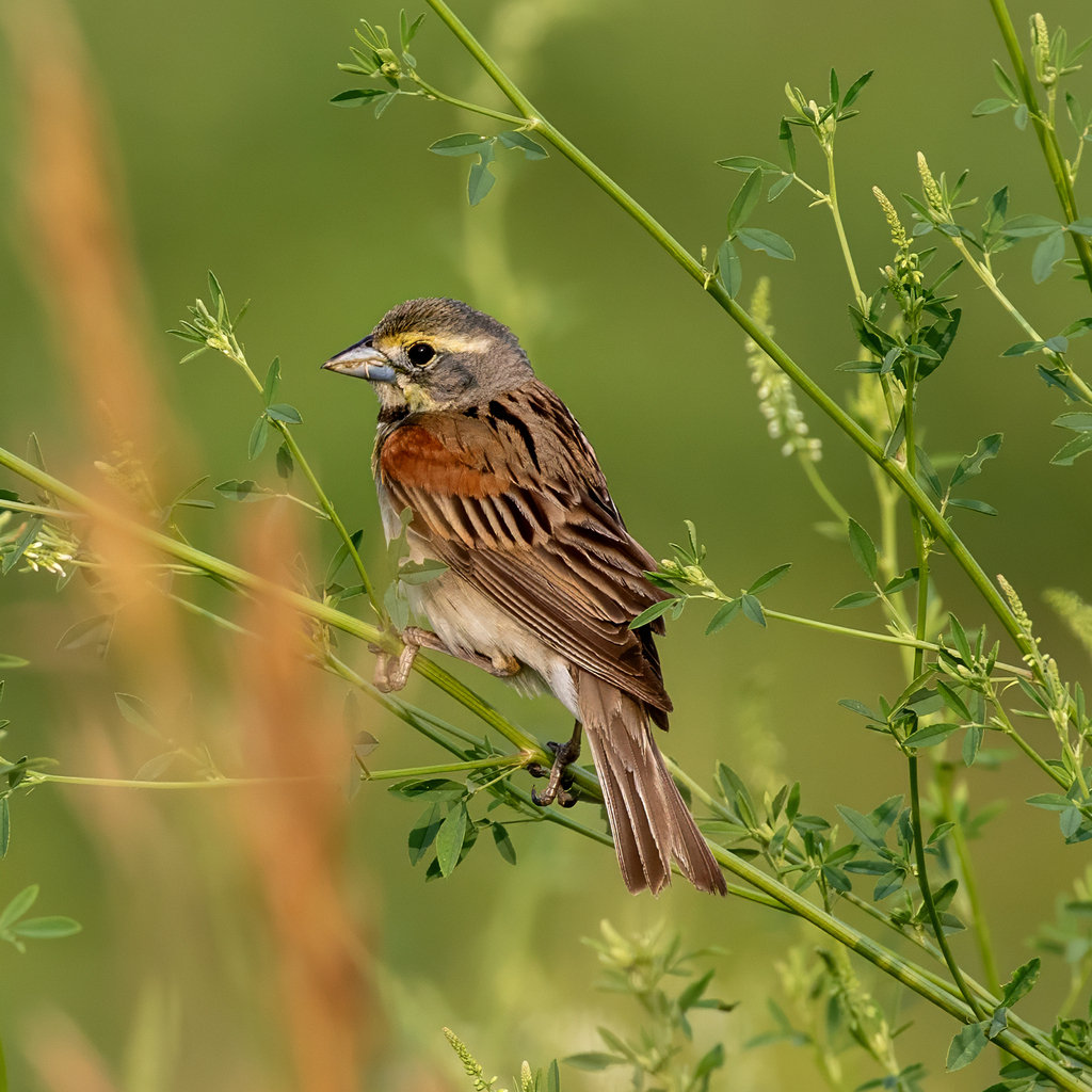
- DickcisselSpiza americana
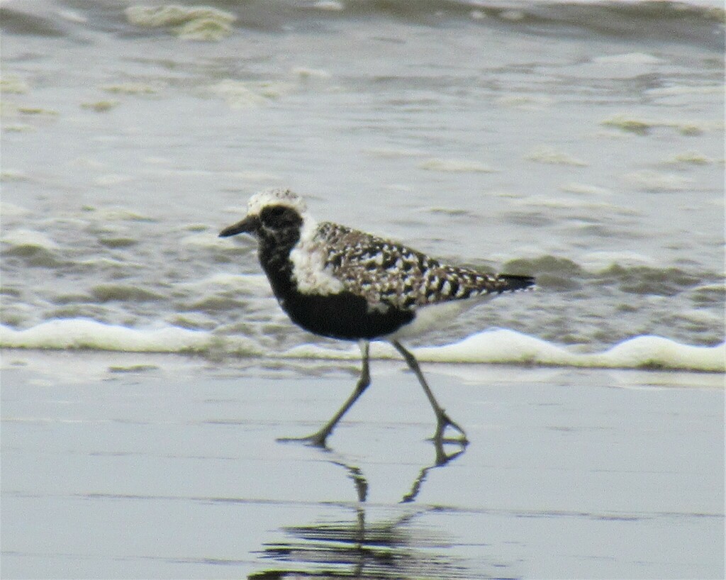
- Black-bellied PloverPluvialis squatarola
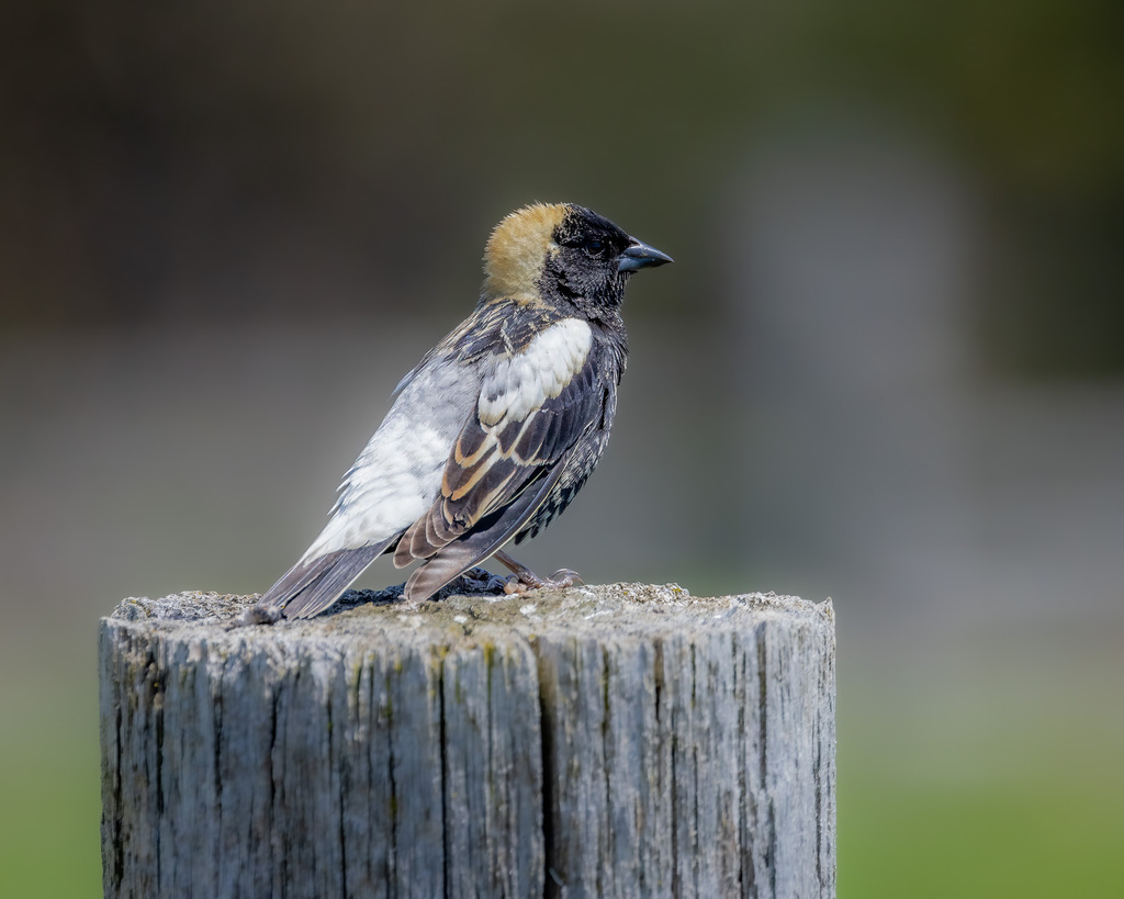
- BobolinkDolichonyx oryzivorus
- Rock PigeonColumba livia
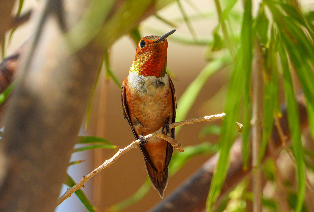
- Rufous HummingbirdSelasphorus rufus
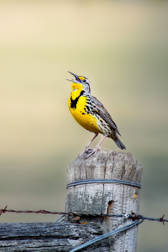
- Western MeadowlarkSturnella neglecta
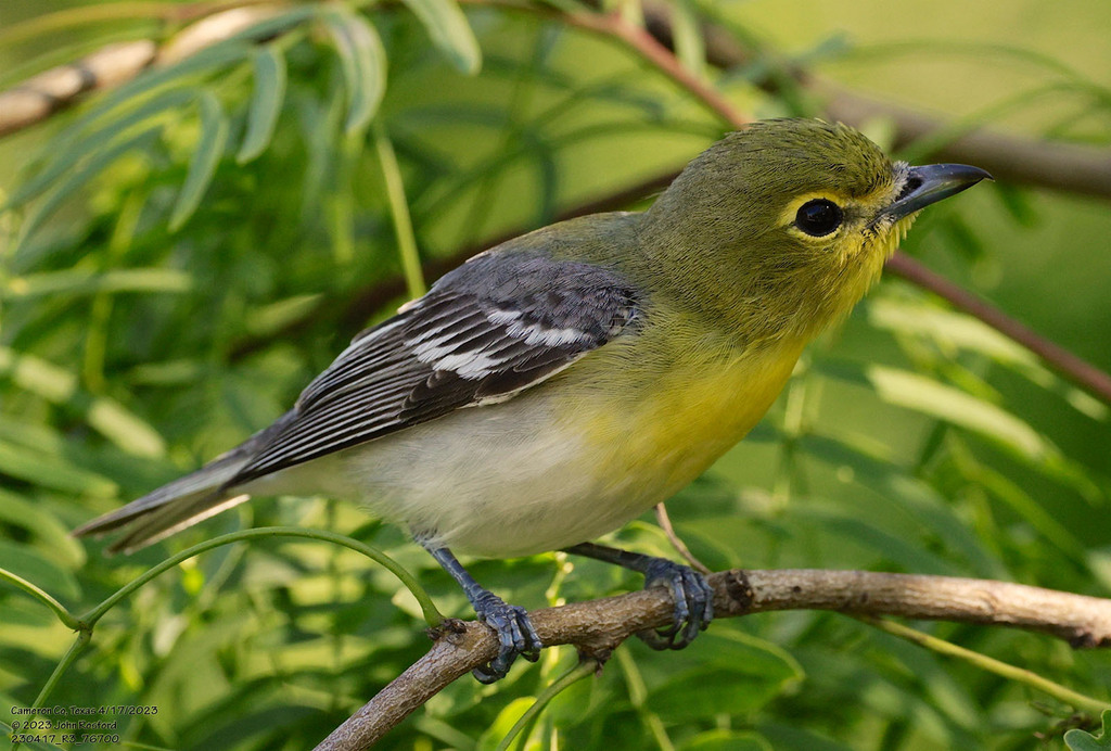
- Yellow-throated VireoVireo flavifrons
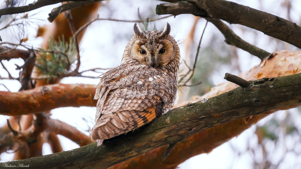
- Long-eared OwlAsio otus

Plants 1485
- Muck SunflowerHelianthus simulans
- Dwarf HorseweedErigeron divaricatus
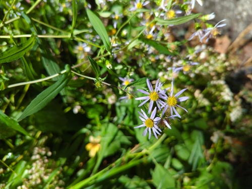
- Crooked-stem AsterSymphyotrichum prenanthoides
- Whitestar Morning-gloryIpomoea leucantha
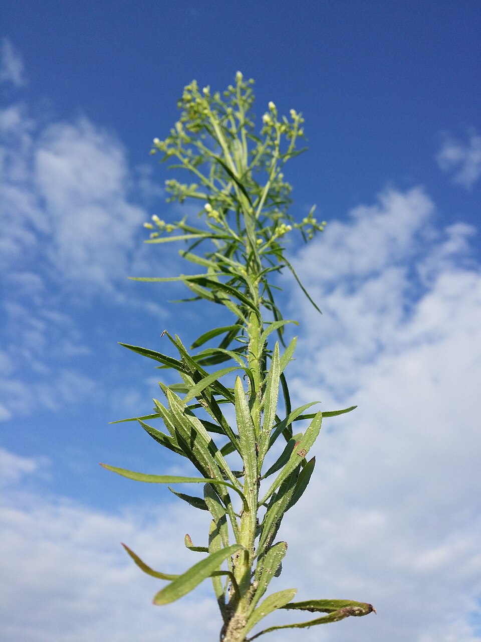
- Common HorseweedErigeron canadensis
- Annual FleabaneErigeron annuus
- Canada LettuceLactuca canadensis
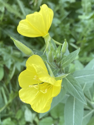
- Common Evening-primroseOenothera biennis
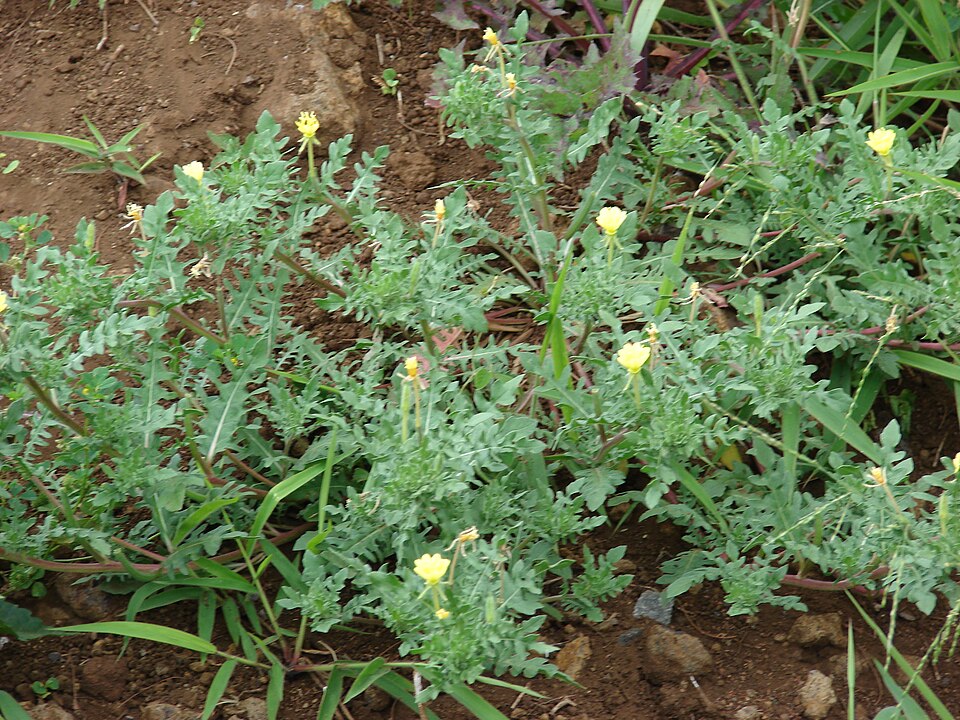
- Cutleaf Evening-primroseOenothera laciniata
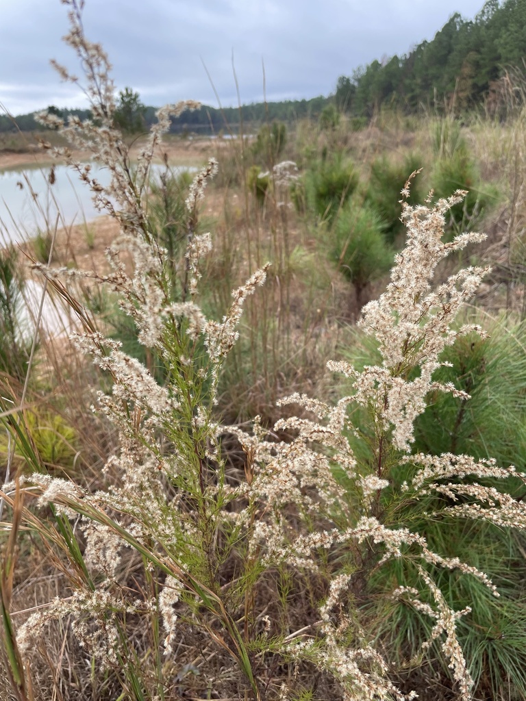
- Dog-fennelEupatorium capillifolium
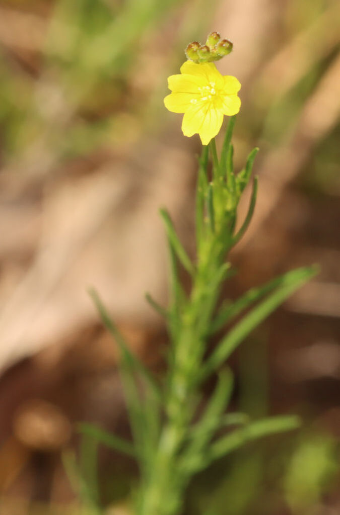
- Threadleaf SundropsOenothera linifolia
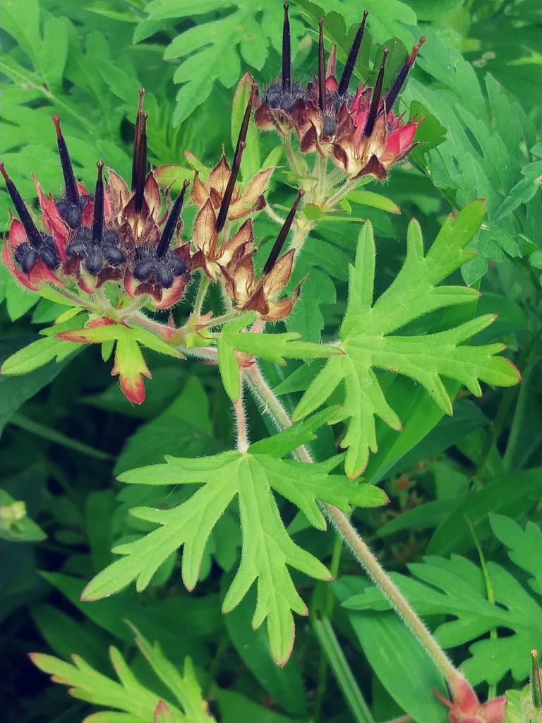
- Carolina Crane's-billGeranium carolinianum
Floodplain and bottomland forests
Birds 104
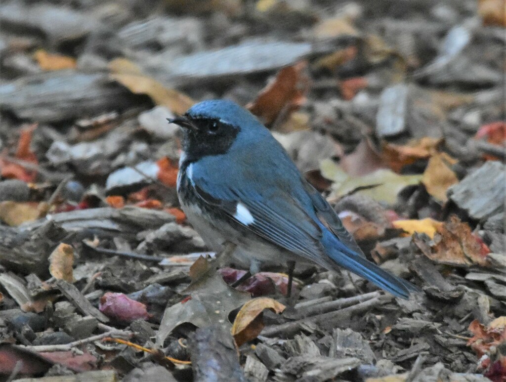
- Black-throated Blue WarblerDendroica caerulescens
- Willow FlycatcherEmpidonax traillii
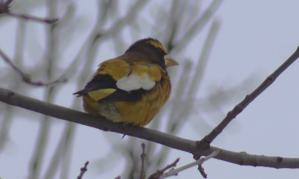
- Evening GrosbeakCoccothraustes vespertinus
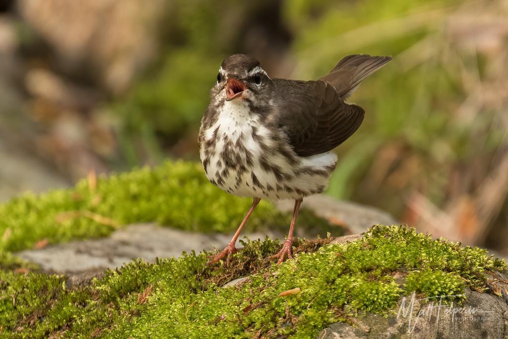
- Louisiana WaterthrushSeiurus motacilla
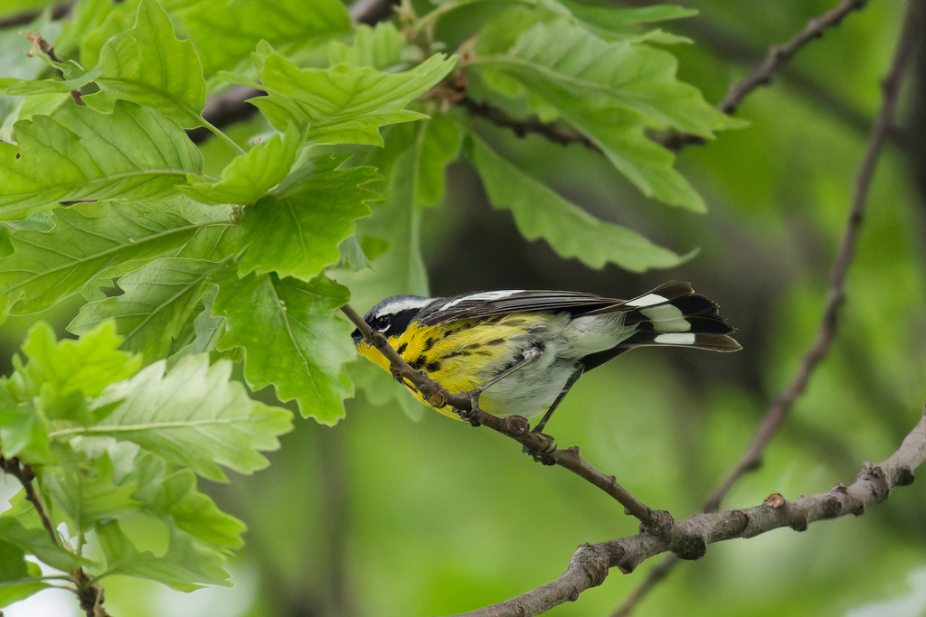
- Magnolia WarblerDendroica magnolia
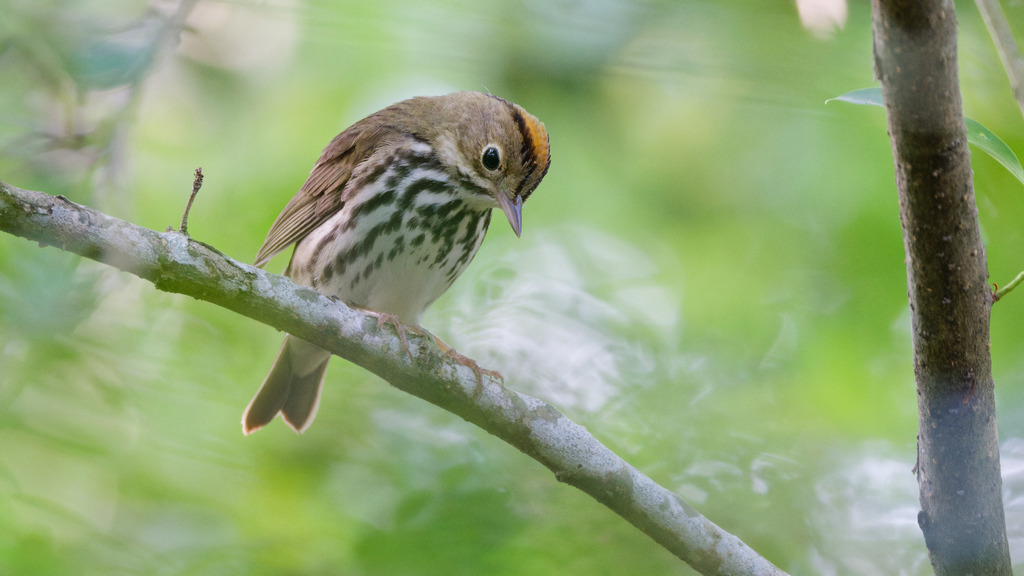
- OvenbirdSeiurus aurocapilla
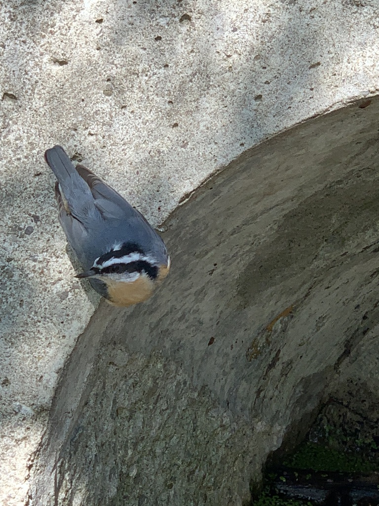
- Red-breasted NuthatchSitta canadensis
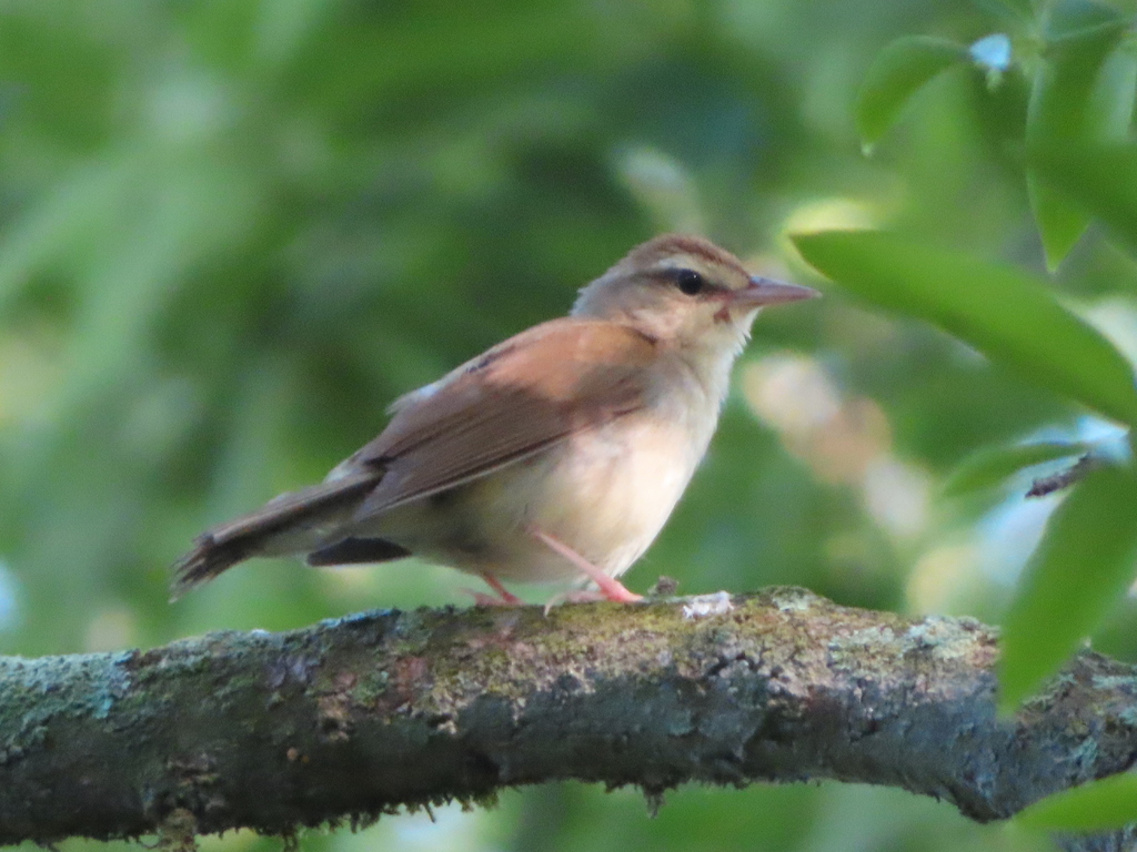
- Swainson's WarblerLimnothlypis swainsonii
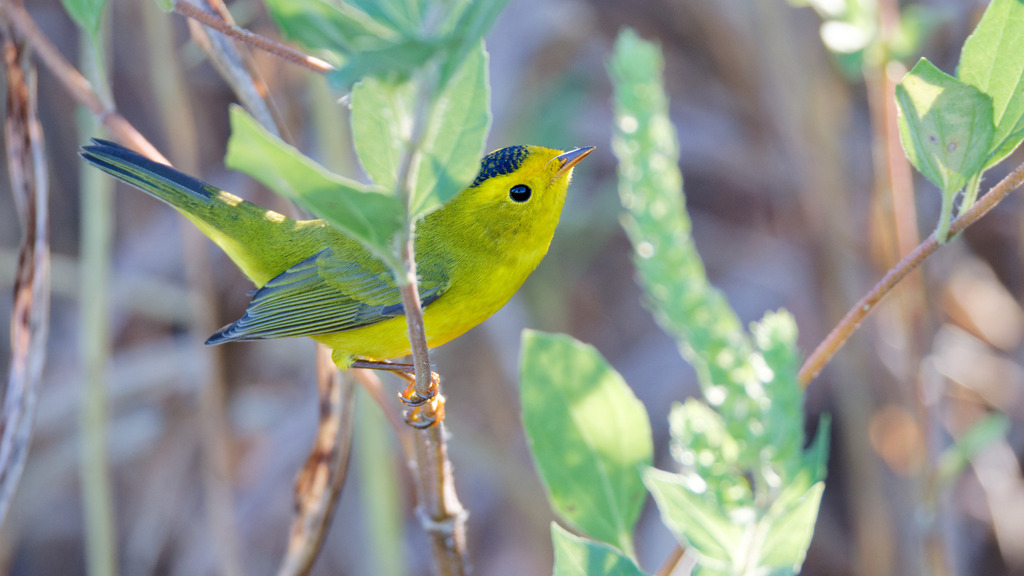
- Wilson's WarblerWilsonia pusilla
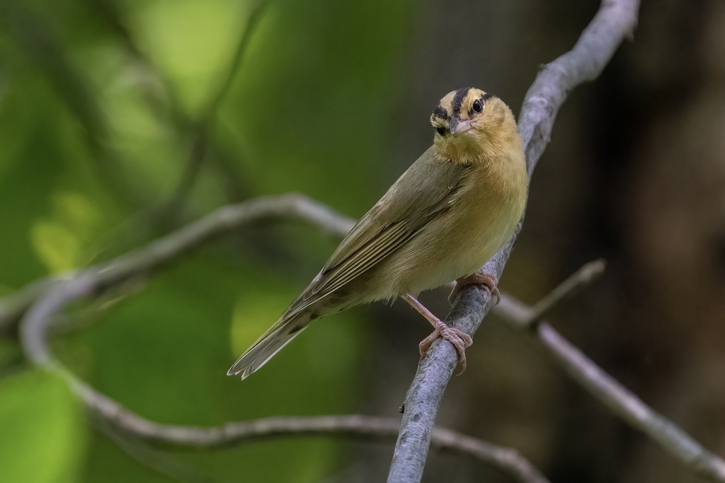
- Worm-eating WarblerHelmitheros vermivorum
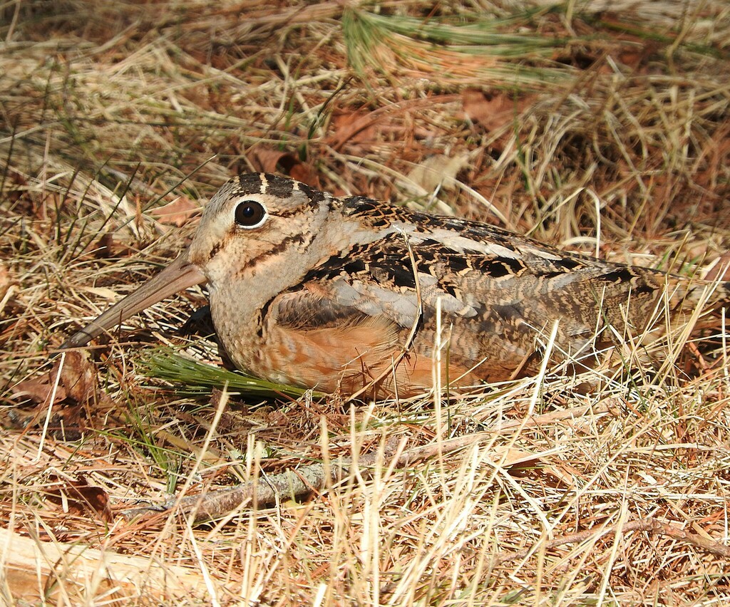
- American WoodcockScolopax minor
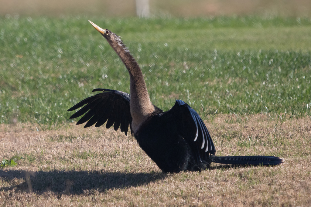
- AnhingaAnhinga anhinga
Plants 418
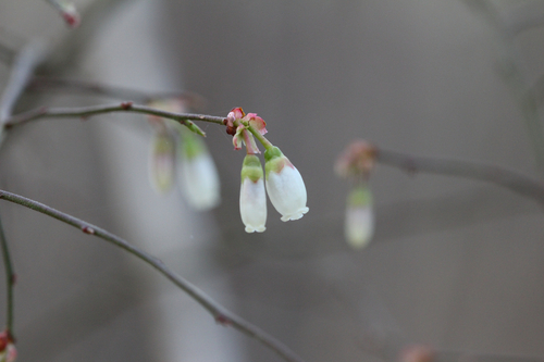
- Elliott's BlueberryVaccinium elliottii
- White Panicled Aster; Eastern Lined AsterSymphyotrichum lanceolatum var. latifolium
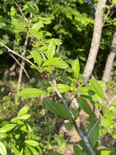
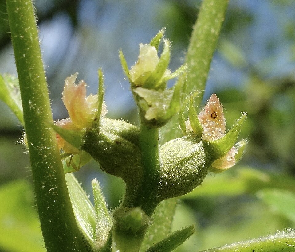
- Possumhaw HollyIlex decidua
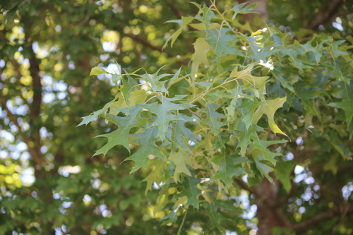
- Cherrybark OakQuercus pagoda
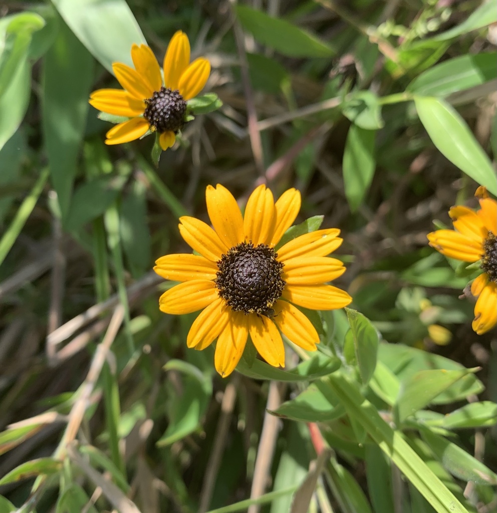
- Appalachian Orange ConeflowerRudbeckia umbrosa
- Rudbeckia fulgida var. spathulataRudbeckia spathulata
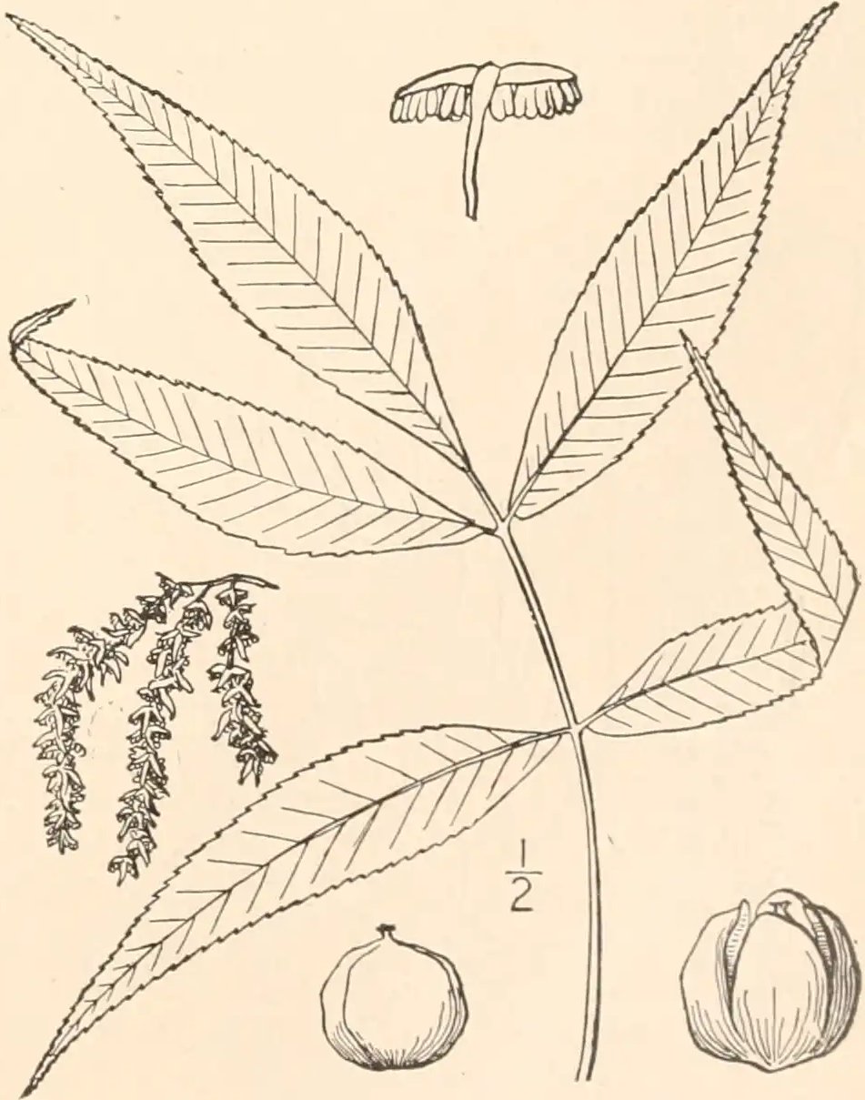
- Shagbark HickoryCarya ovata
- Southern Shagbark HickoryCarya carolinae-septentrionalis
- Spruce Pine; Walters Pine; Cedar PinePinus glabra
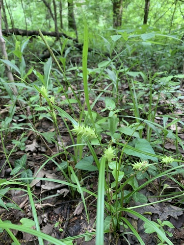
- Spreading SedgeCarex laxiculmis
- Louisiana SedgeCarex louisianica
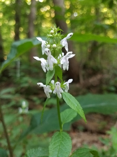
- Smooth Hedge-nettleStachys tenuifolia
Streams, rivers and their banks
Birds 94
- Willow FlycatcherEmpidonax traillii
- Evening GrosbeakCoccothraustes vespertinus
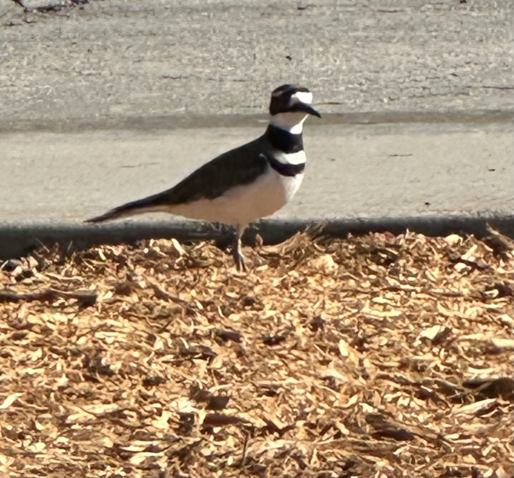
- KilldeerCharadrius vociferus
- Louisiana WaterthrushSeiurus motacilla
- Magnolia WarblerDendroica magnolia
- OvenbirdSeiurus aurocapilla
- Red-breasted NuthatchSitta canadensis
- Swainson's WarblerLimnothlypis swainsonii
- Worm-eating WarblerHelmitheros vermivorum
- American WoodcockScolopax minor
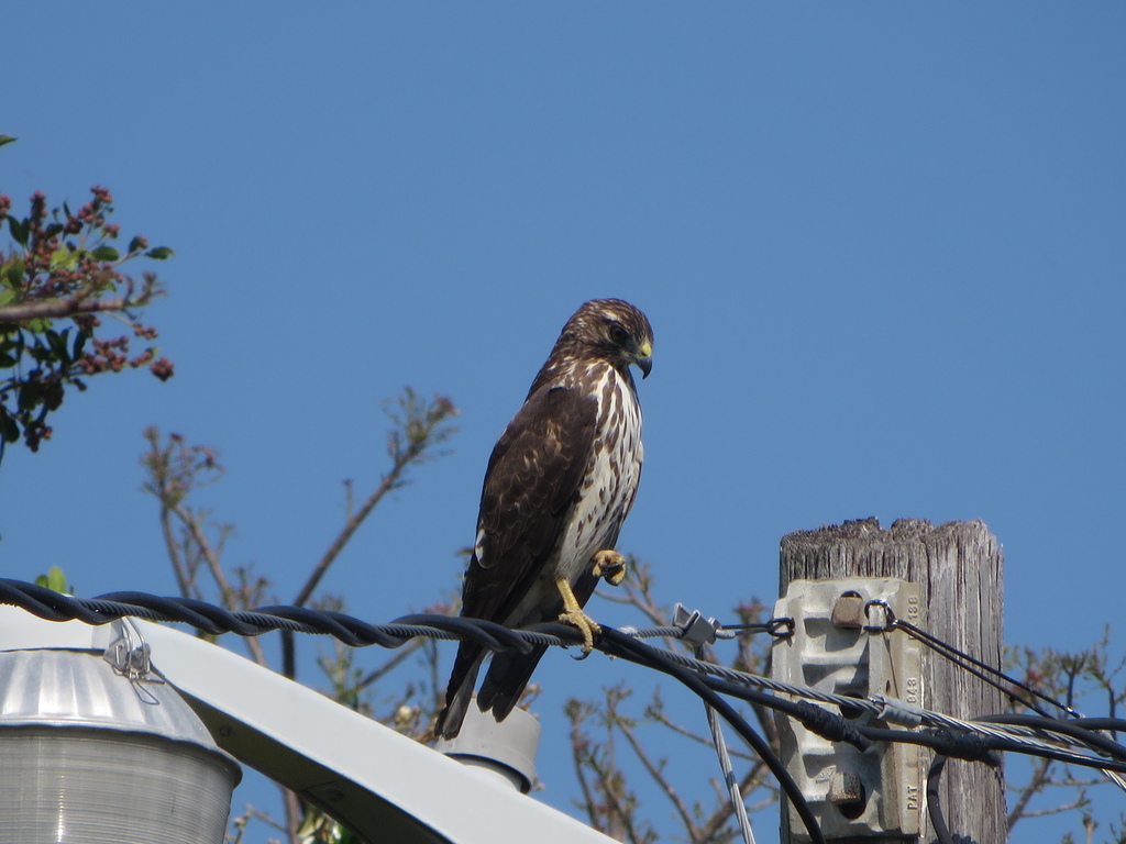
- Broad-winged HawkButeo platypterus
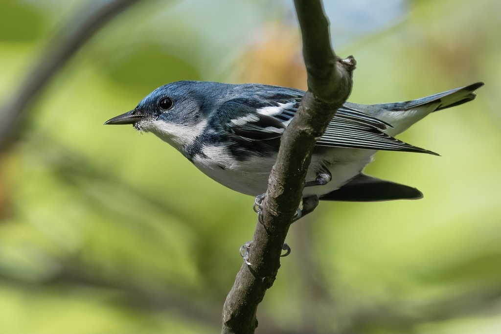
- Cerulean WarblerDendroica cerulea
Plants 322
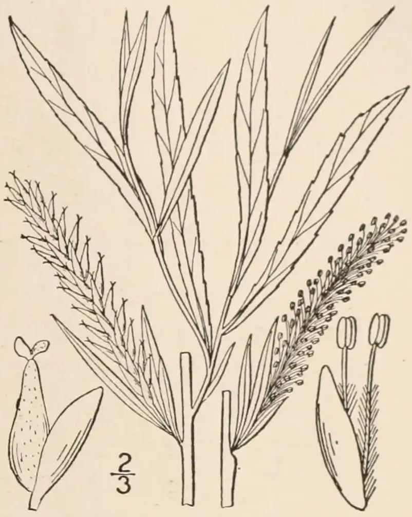
- Sandbar WillowSalix interior
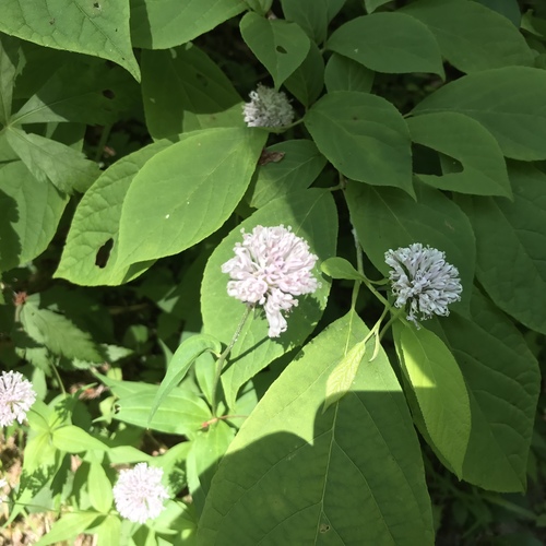
- Alabama Arrow WoodViburnum alabamense
- Hypericum nitidumHypericum nitidum
- Sea Lettuce PondlilyNuphar ulvacea
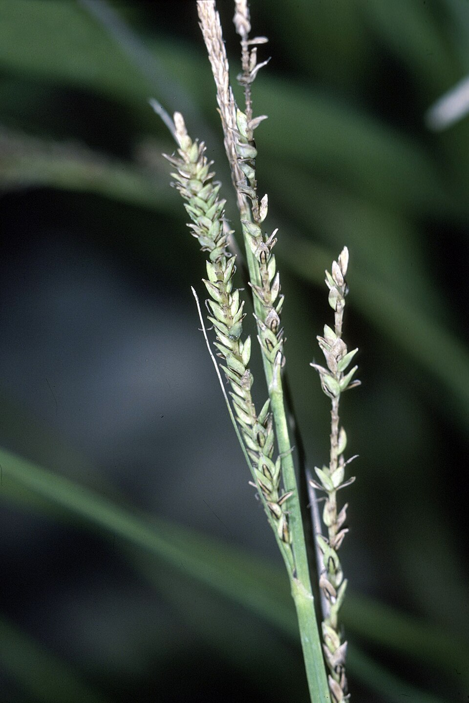
- Twisted SedgeCarex torta
- Spermacoce tenuiorSpermacoce tenuior
- Alabama PhloxPhlox pulchra
- Panhandle LilyLilium iridollae
- Mosquito BeaksedgeRhynchospora crinipes
- Brazilian WatergrassLuziola bahiensis
- Broadleaf Barbara's-buttonsMarshallia trinervia
- Winter QuillwortIsoetes hyemalis


Sources
- USGS Gap Analysis Project habitat models (2001)
- USGS GAP summer habitat model for Cliff Swallow Fresh water only
- USGS Gap Analysis Project range maps (2001), modeled by watershed; migratory gives no dates
- NatureServe Explorer (CC BY 4.0), habitat names
- US Census TIGER/Line counties
- Names follow the USGS Gap Analysis Project (2001)