

Bird
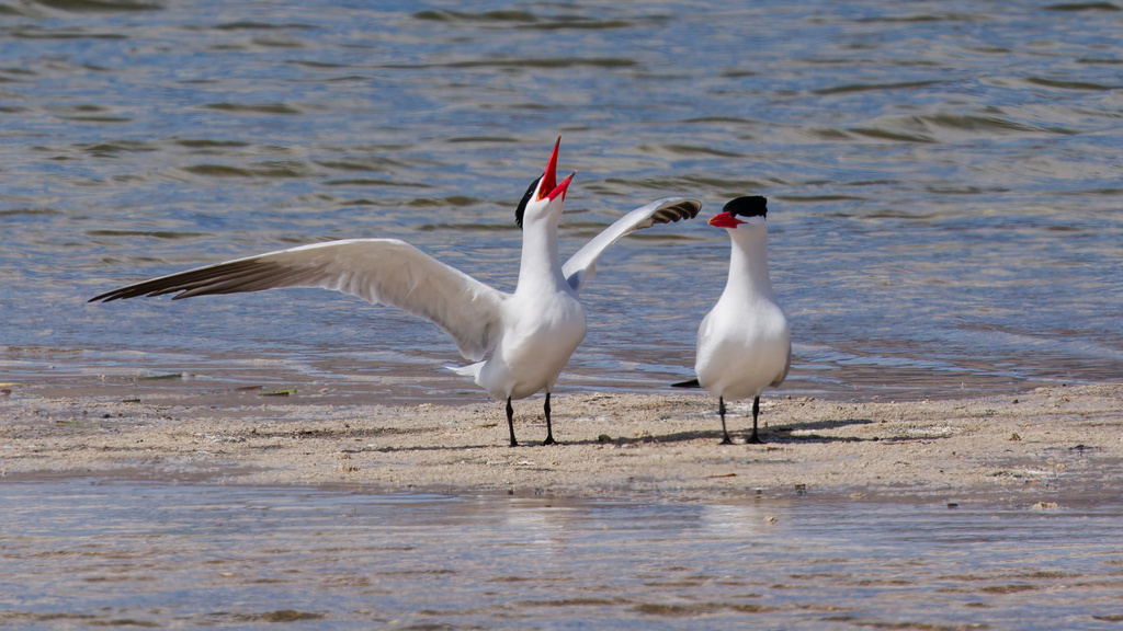
Caspian Tern
Hydroprogne caspia
A summer resident that nests in Alabama. Found in all 67 counties, across 6 habitats.
- Here
- Summer and on migration
- Nesting
- Nests here
- Range
- All 67 counties
- Habitats
- 6
At a glance
- Group
- Birds
- Here
- Summer and on migration
- Nesting
- Nests here
- Range
- All 67 counties
- Habitats
- 6
- Habitat models
- Summer, Winter
Where it lives
The places its habitat model includes. It is not found everywhere a habitat occurs.
Habitats in Alabama 6
Each habitat page lists the plants and wildlife also found there.
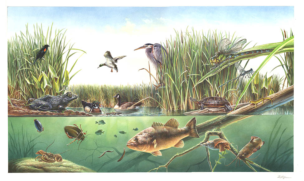
Open sand of beaches, dunes and the hollows between them.
Coastal tidal marshes (salinity not stated)
Tidal marshes of the Atlantic and Gulf coasts where the source does not say whether the water is fresh, brackish or salt. A stated salinity files the marsh under freshwater tidal marshes or salt and brackish marshes instead.
Disturbed and introduced wetlands
Wet ground taken over by weedy or introduced plants after disturbance, such as common reed, Chinese tallow or tamarisk stands; the upland counterpart is roadsides, fields and disturbed ground.
Coastal marshes flooded by salty or brackish tides.
Salt and brackish open water of sounds, bays and estuaries, with the mud and sand flats and seagrass beds that tides cover and uncover; the vegetated marsh is salt and brackish marshes.
Other habitats in its models (32)
Land cover, or classes with no habitat page in Alabama.
- Atlantic Coastal Plain Southern Beach Summer and winter.
- Unconsolidated Shore (Lake/River/Pond) Summer and winter.
- Unconsolidated Shore Summer and winter.
- Upper Texas Coast Beach Summer and winter.
- Louisiana Beach Summer and winter.
- Southeast Florida Beach Summer and winter.
- South Florida Shell Hash Beach Summer and winter.
- Atlantic Coastal Plain Sea Island Beach Summer and winter.
- Southwest Florida Beach Summer and winter.
- Texas Coastal Bend Beach Summer and winter.
- Atlantic Coastal Plain Xeric River Dune Summer and winter.
- Atlantic Coastal Plain Southern Dune and Maritime Grassland Summer and winter.
- Southwest Florida Dune and Coastal Grassland Summer and winter.
- Central and Upper Texas Coast Dune and Coastal Grassland Summer and winter.
- Atlantic Coastal Plain Central Salt and Brackish Tidal Marsh Summer and winter.
- Atlantic Coastal Plain Indian River Lagoon Tidal Marsh Summer and winter.
- Atlantic Coastal Plain Embayed Region Tidal Salt and Brackish Marsh Summer and winter.
- Atlantic Coastal Plain Northern Tidal Salt Marsh Summer and winter.
- Florida Big Bend Salt-Brackish Tidal Marsh Summer and winter.
- Atlantic Coastal Plain Clay-Based Carolina Bay Herbaceous Wetland Summer and winter.
- Atlantic Coastal Plain Large Natural Lakeshore Summer and winter.
- South Florida Everglades Sawgrass Marsh Summer and winter.
- Floridian Highlands Freshwater Marsh Summer and winter.
- Atlantic Coastal Plain Embayed Region Tidal Freshwater Marsh Summer and winter.
- Florida Big Bend Fresh-Oligohaline Tidal Marsh Summer and winter.
- Atlantic Coastal Plain Northern Fresh and Oligohaline Tidal Marsh Summer and winter.
- West Gulf Coastal Plain Near-Coast Large River Swamp Summer and winter.
- Atlantic Coastal Plain Central Fresh-Oligohaline Tidal Marsh Summer and winter.
- South Florida Freshwater Slough and Gator Hole Summer and winter.
- East Gulf Coastal Plain Large River Floodplain Forest - Herbaceous Modifier Summer and winter.
- South-Central Interior Large Floodplain - Herbaceous Modifier Summer and winter.
- Texas-Louisiana Coastal Prairie Slough Summer and winter.
Seasons in Alabama
- Migratory: does not nest here, in all 67 counties.
- Summer: nests here, in 2 of 67 counties.
Also found in this habitat
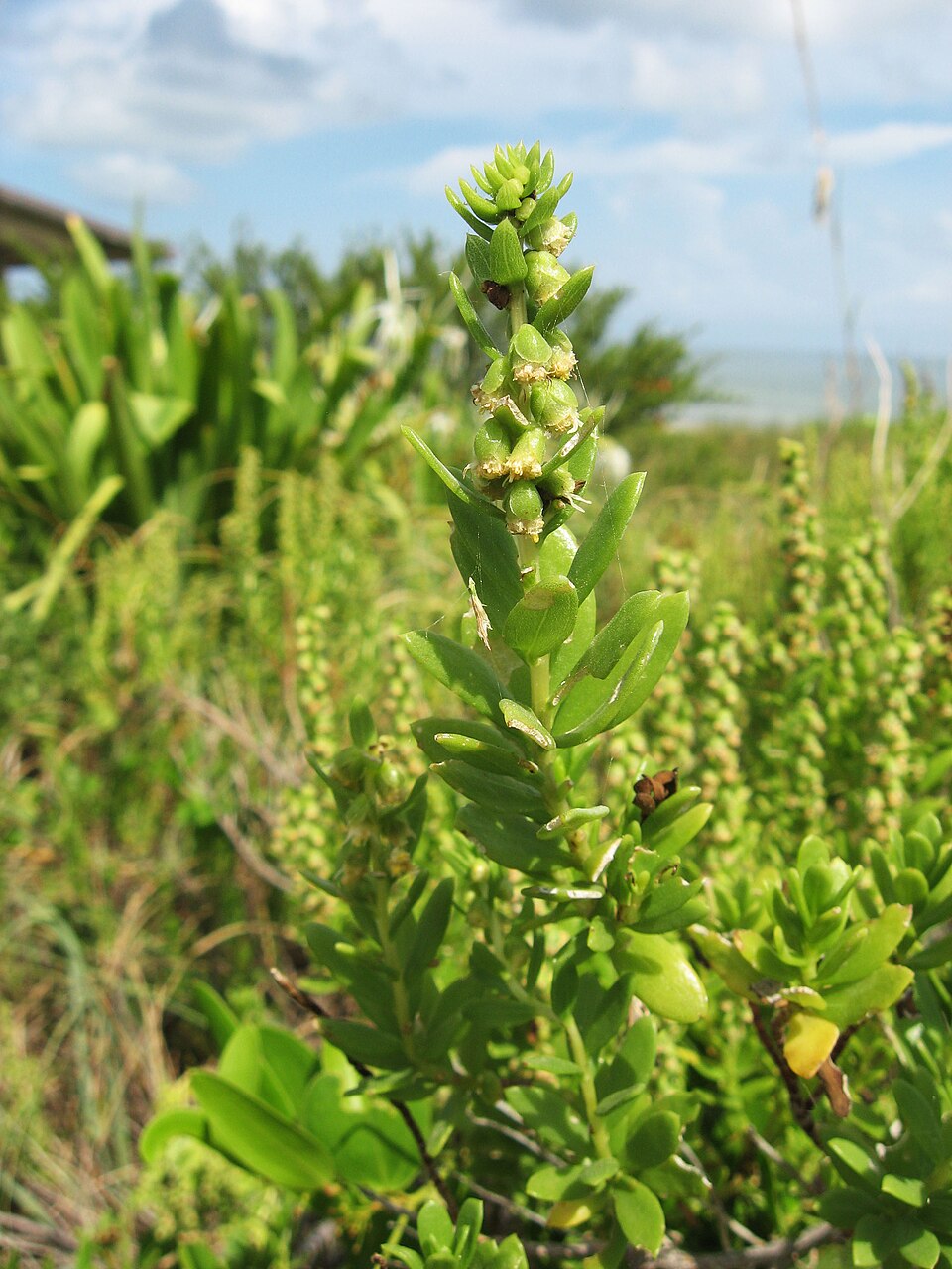
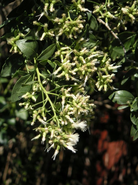
Plants 68
Plants named in NatureServe descriptions of these habitats that grow in Alabama. Shared habitat, not food.
- Dune Marsh-elderIva imbricata
- Common WaxmyrtleMorella cerifera
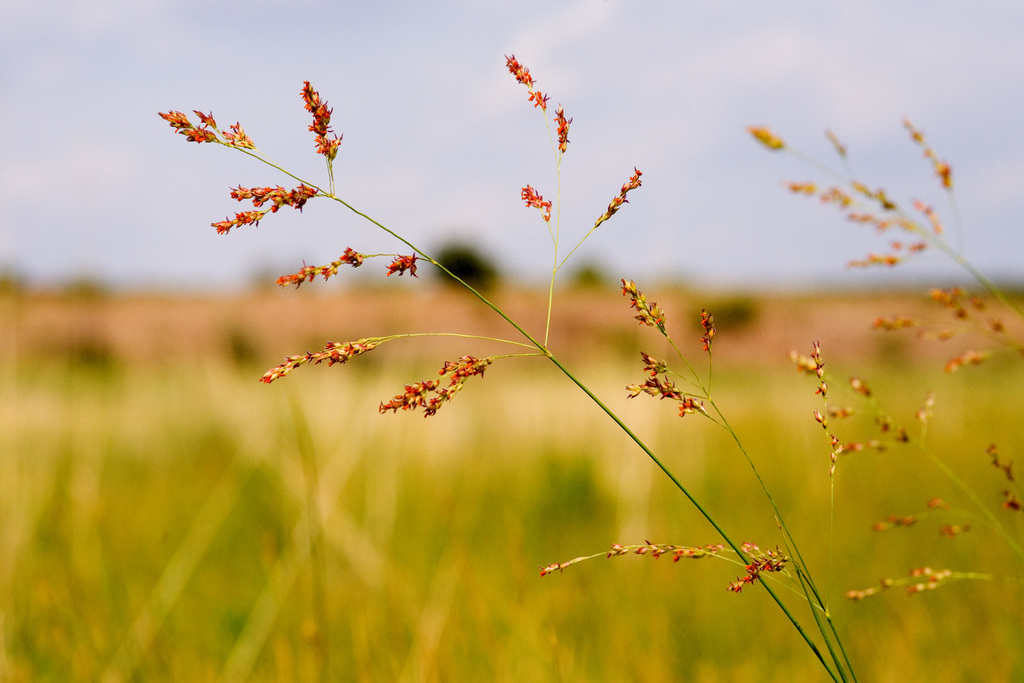
- Panicum amarum var. amarulumPanicum amarum var. amarulum
- Saltmeadow CordgrassSporobolus pumilus
- Groundsel-treeBaccharis halimifolia
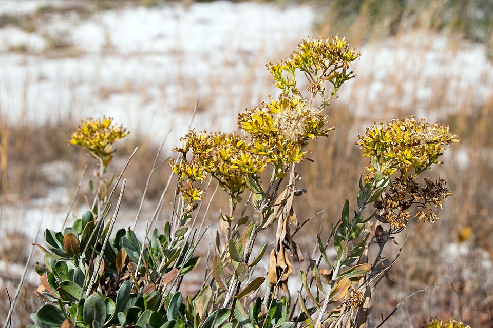
- Woody GoldenrodChrysoma pauciflosculosa
- Fuirena scirpoideaFuirena scirpoidea
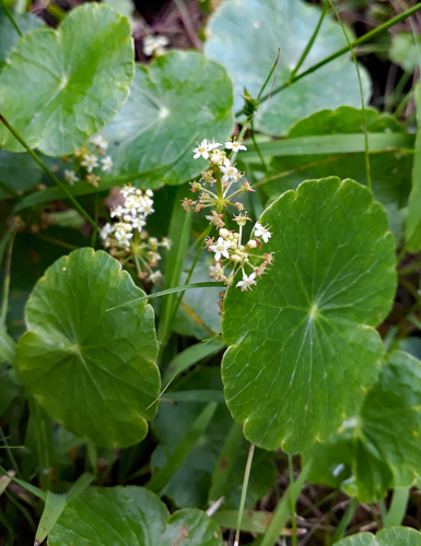
- Largeleaf PennywortHydrocotyle bonariensis
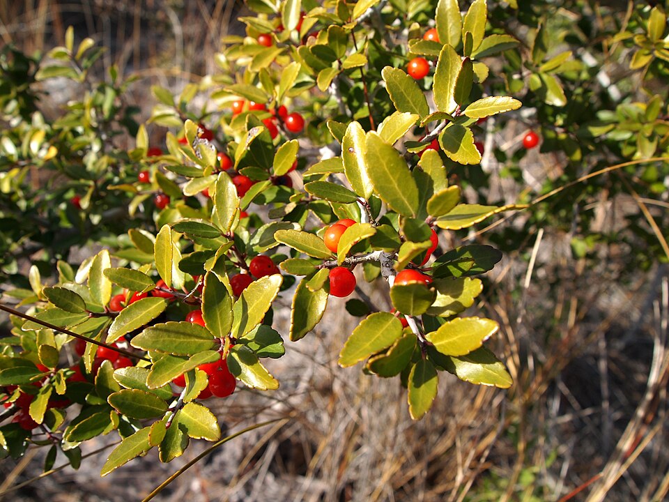
- Yaupon HollyIlex vomitoria
- SwitchgrassPanicum virgatum
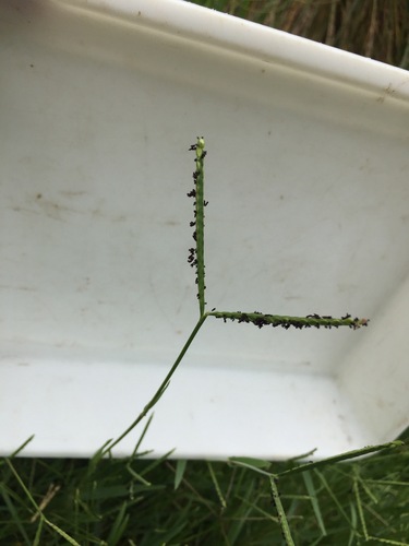
- KnotgrassPaspalum distichum
- Tall JointweedPolygonella gracilis
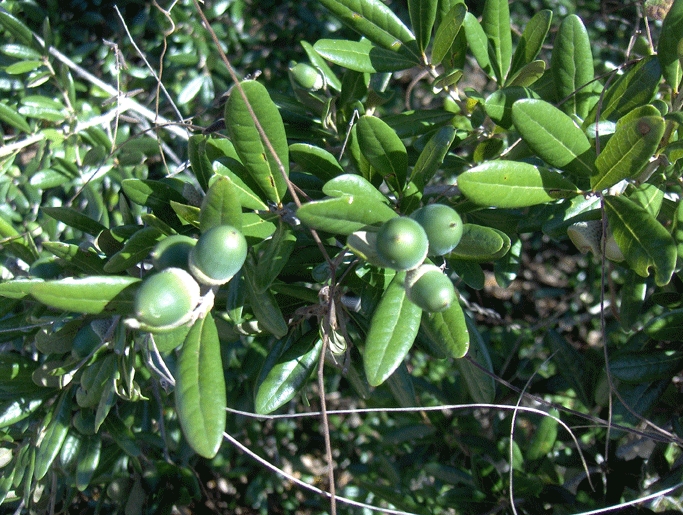
- Sand Live OakQuercus geminata
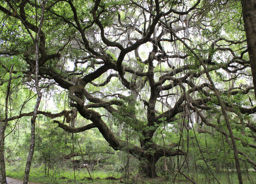
- Live OakQuercus virginiana
- Gulf BluestemSchizachyrium maritimum
- Common Three Square BulrushSchoenoplectus pungens
- Serenoa repensSerenoa repens
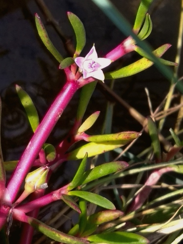
- Shoreline Sea-purslaneSesuvium portulacastrum
- Seashore DropseedSporobolus virginicus
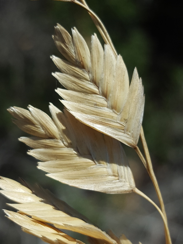
- Sea OatsUniola paniculata
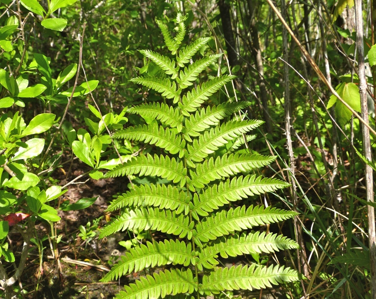
- Virginia Chain-fernAnchistea virginica
- Bushy BluestemAndropogon glomeratus
- American BlueheartsBuchnera americana
- Gulf Coast Sea RocketCakile constricta

Wildlife 218
Other animals whose habitat models include the same habitats in Alabama. Not sighting records.
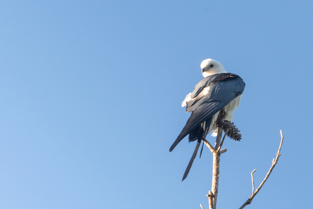
- Swallow-tailed KiteElanoides forficatus
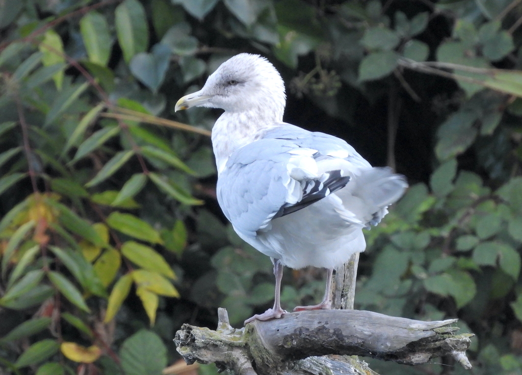
- Thayer's GullLarus thayeri
- Western Snowy PloverCharadrius nivosus nivosus
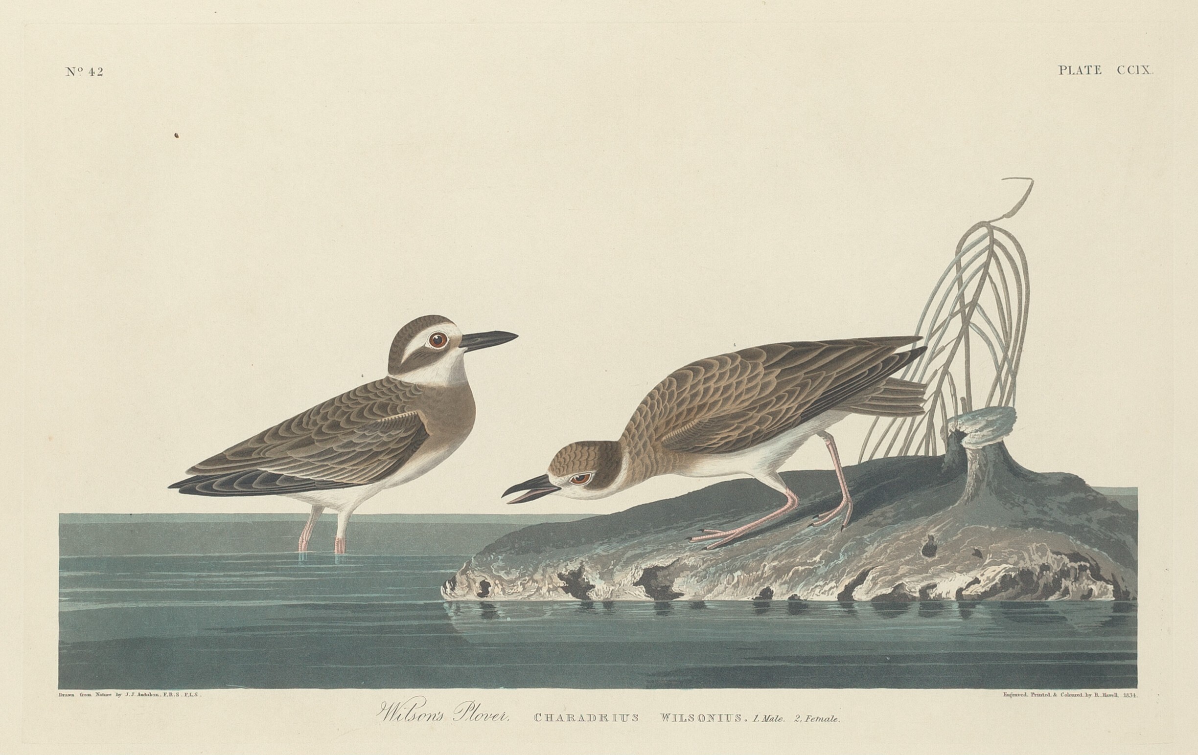
- Wilson's PloverCharadrius wilsonia
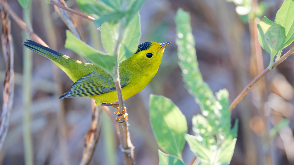
- Wilson's WarblerWilsonia pusilla
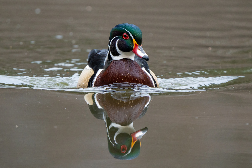
- Wood DuckAix sponsa
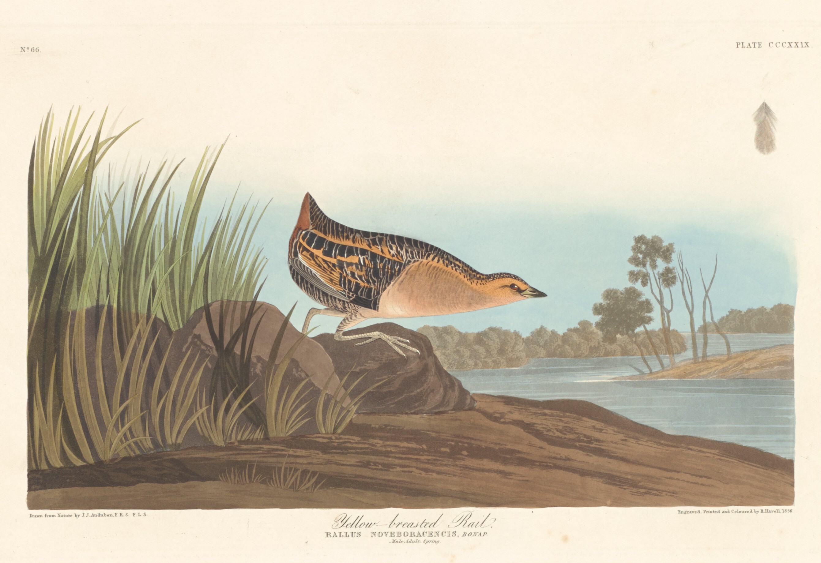
- Yellow RailCoturnicops noveboracensis
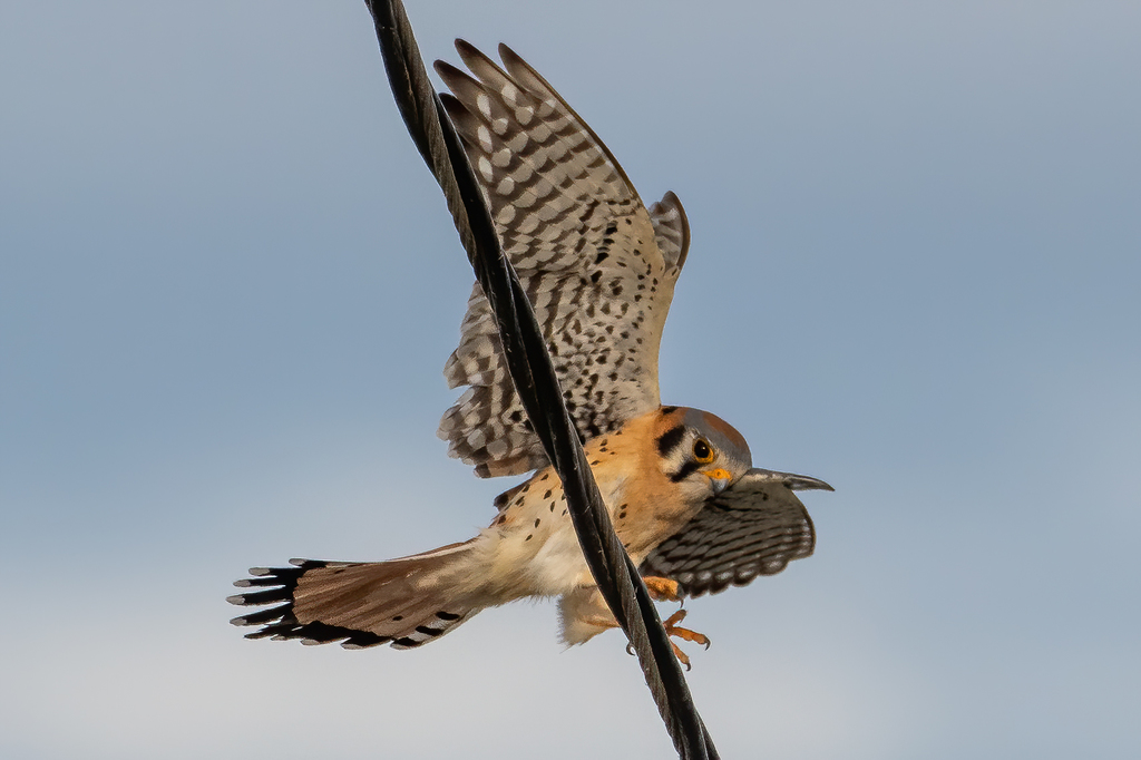
- American KestrelFalco sparverius
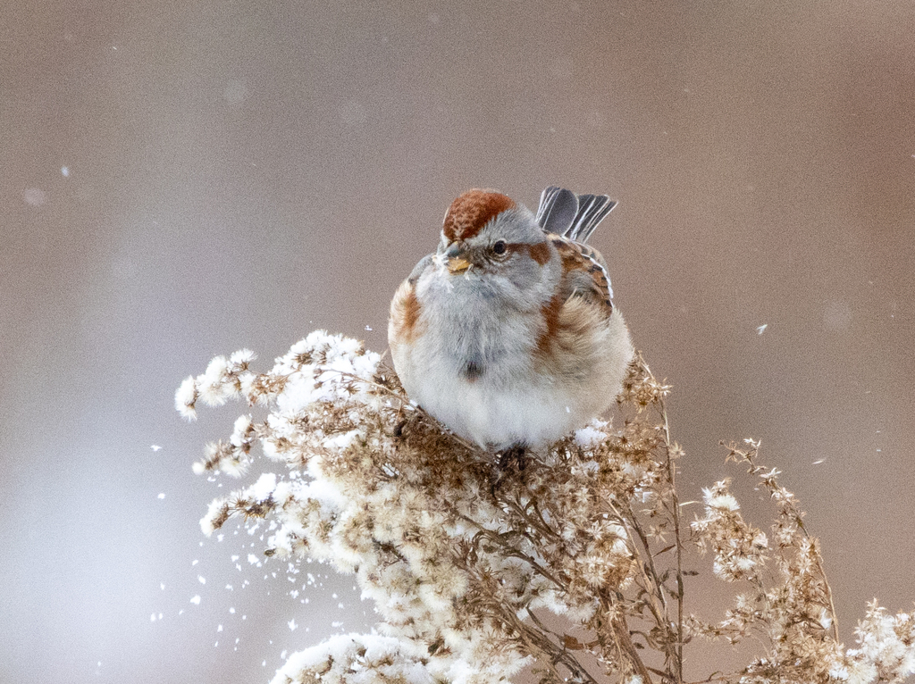
- American Tree SparrowSpizella arborea
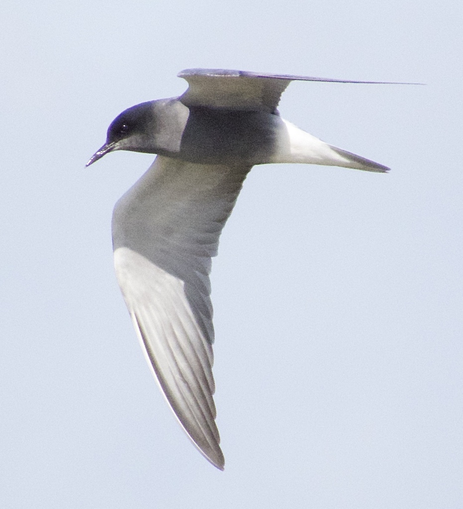
- Black TernChlidonias niger
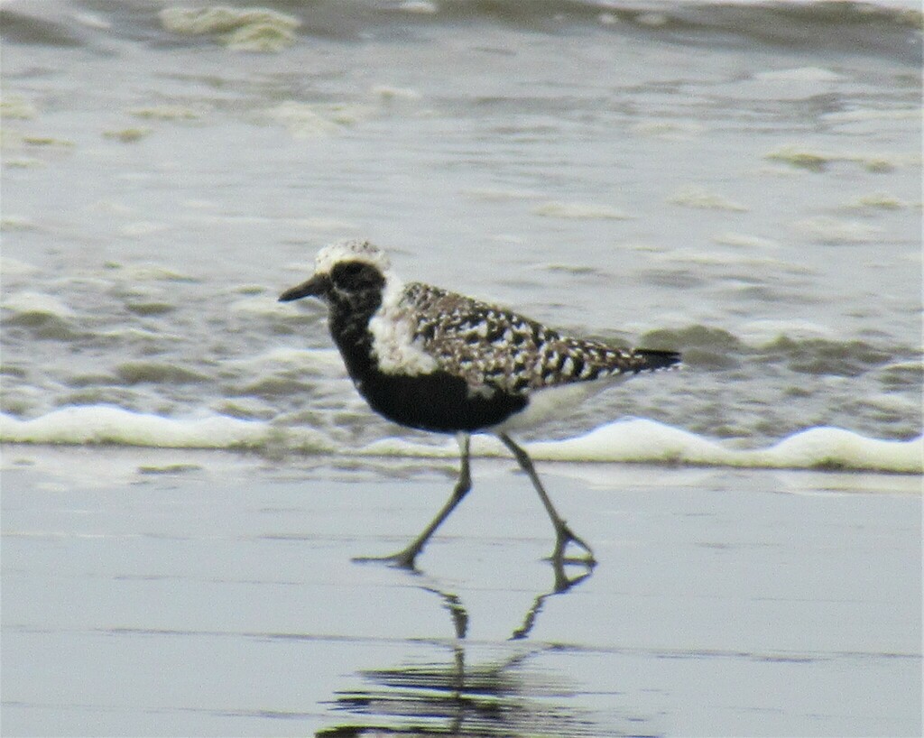
- Black-bellied PloverPluvialis squatarola
- BuffleheadBucephala albeola
- Chipping SparrowSpizella passerina
- Chuck-will's-widowCaprimulgus carolinensis
- Common GoldeneyeBucephala clangula
- Common Ground-doveColumbina passerina
- Eastern PhoebeSayornis phoebe
- Eastern Screech-owlMegascops asio
- Eastern TowheePipilo erythrophthalmus
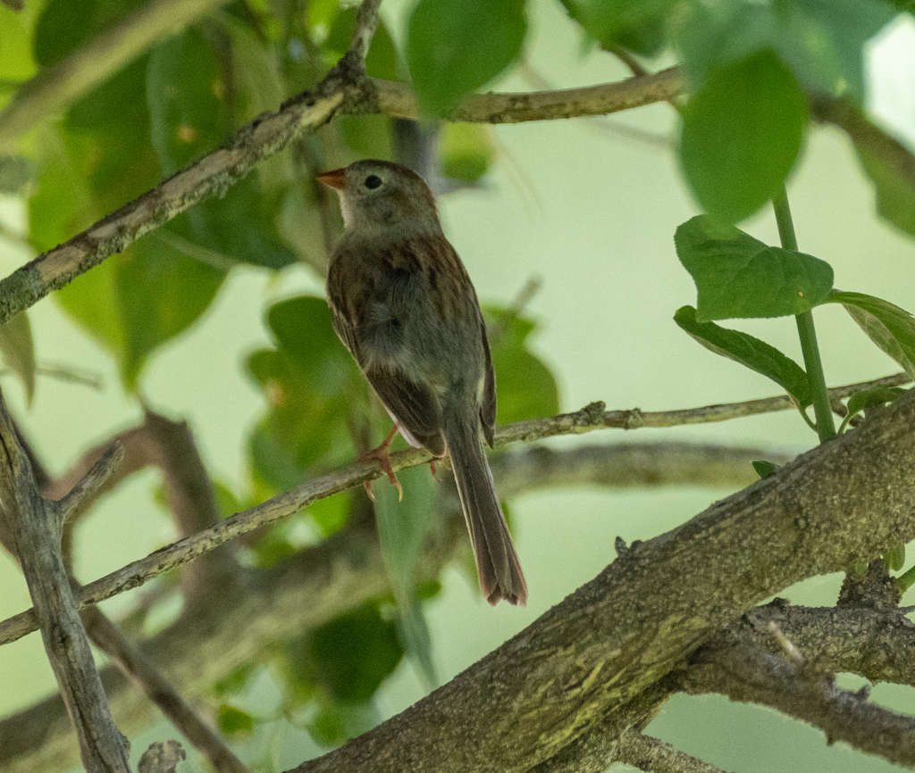
- Field SparrowSpizella pusilla
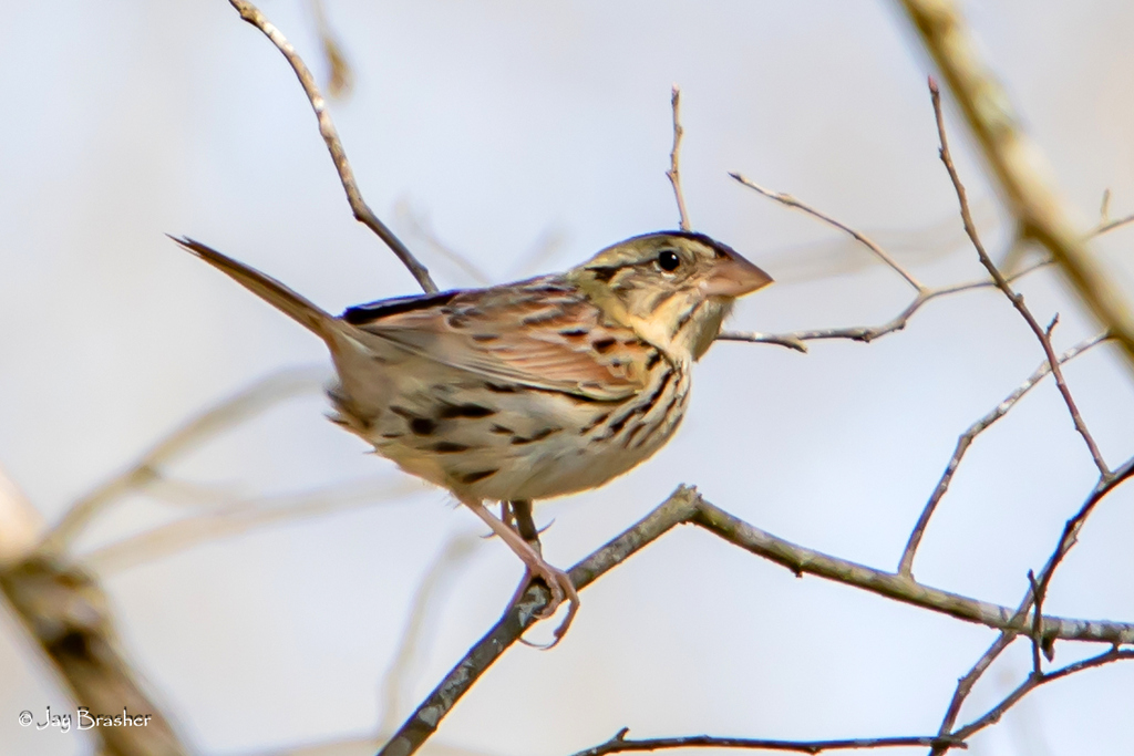
- Henslow's SparrowAmmodramus henslowii
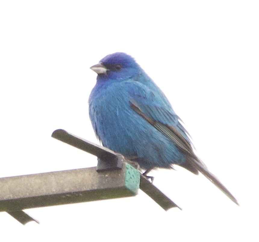
- Indigo BuntingPasserina cyanea
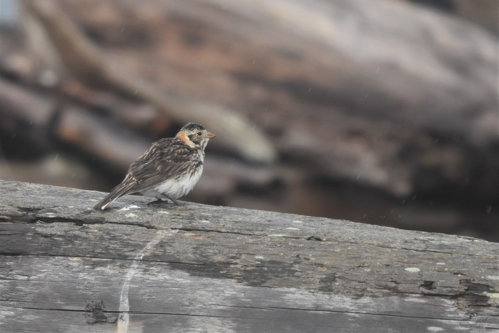
- Lapland LongspurCalcarius lapponicus
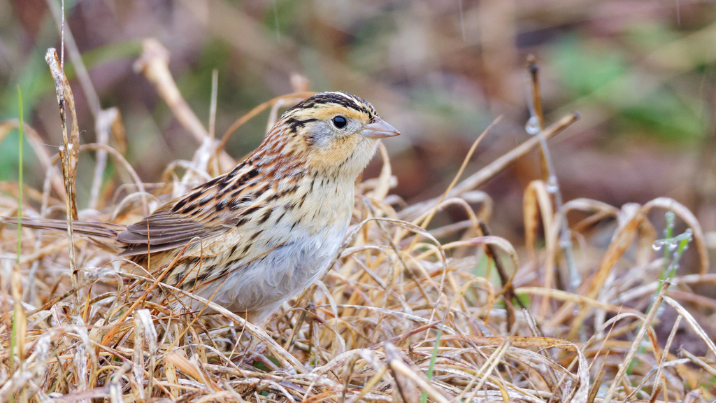
- Le Conte's SparrowAmmodramus leconteii
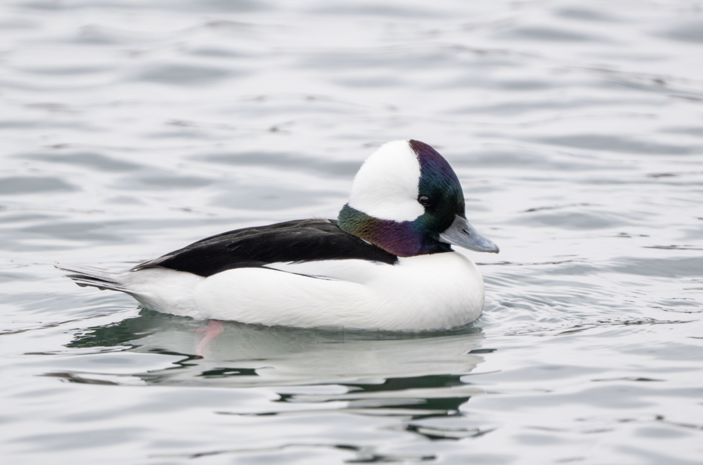
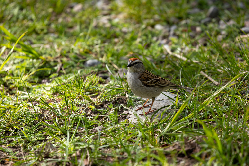
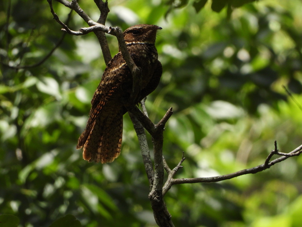
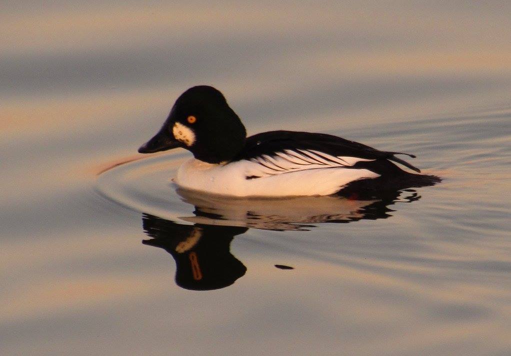
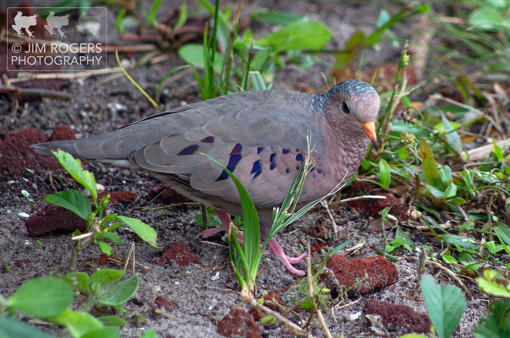
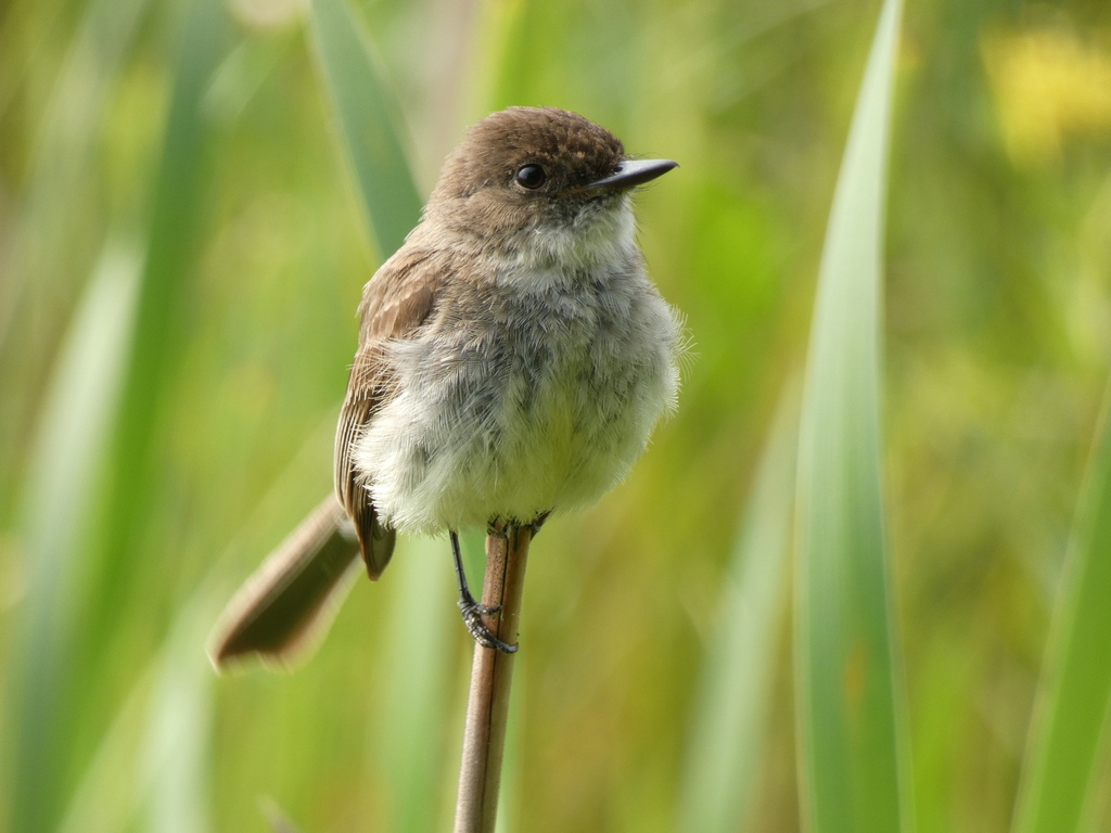
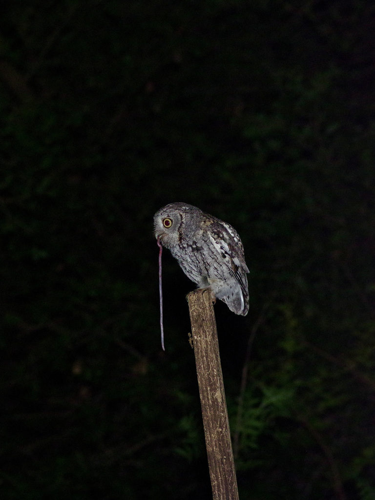
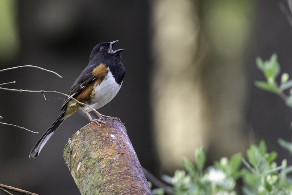
NatureServe Explorer, CC BY 4.0. USGS Gap Analysis Project habitat models.
Sources
- USGS Gap Analysis Project habitat models (2001)
- USGS GAP winter habitat model for Caspian Tern Slow streams only
- USGS Gap Analysis Project range maps (2001), modeled by watershed; migratory gives no dates
- NatureServe Explorer (CC BY 4.0), habitat names
- US Census TIGER/Line counties
- Names follow the USGS Gap Analysis Project (2001)