

Bird
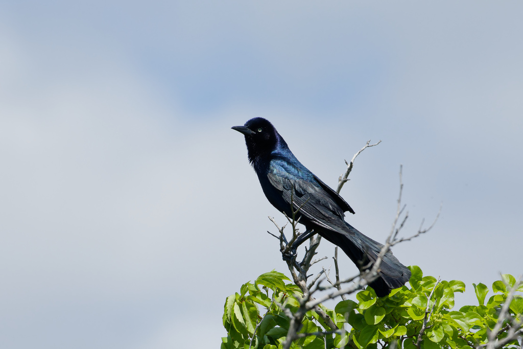
Boat-tailed Grackle
Quiscalus major
Lives in Alabama all year and nests here. Found in 5 of 67 counties, across 13 habitats.
- Here
- All year
- Nesting
- Nests here
- Range
- 5 of 67 counties
- Habitats
- 13
At a glance
- Group
- Birds
- Here
- All year
- Nesting
- Nests here
- Range
- 5 of 67 counties
- Habitats
- 13
- Habitat models
- Year-round
Where it lives
The places its habitat model includes. It is not found everywhere a habitat occurs.
Habitats in Alabama 13
Each habitat page lists the plants and wildlife also found there.
Open sand of beaches, dunes and the hollows between them.
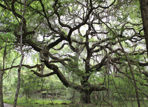
Dense, evergreen groves of live oak, magnolia and other hardwoods in the southern Coastal Plain, from dry oak domes to wet hydric hammocks and south Florida's tropical hammocks; salt-shaped maritime hammocks are maritime forests.
Open, wet, seepage-fed bogs of the Coastal Plain and Sandhills, often with pitcher plants.
Coastal tidal marshes (salinity not stated)
Tidal marshes of the Atlantic and Gulf coasts where the source does not say whether the water is fresh, brackish or salt. A stated salinity files the marsh under freshwater tidal marshes or salt and brackish marshes instead.
Disturbed and introduced wetlands
Wet ground taken over by weedy or introduced plants after disturbance, such as common reed, Chinese tallow or tamarisk stands; the upland counterpart is roadsides, fields and disturbed ground.
Open, fire-kept longleaf pine stands over grasses and wildflowers on wet to moist sandy soil.
Coastal marshes flooded by salty or brackish tides.
Salt and brackish open water of sounds, bays and estuaries, with the mud and sand flats and seagrass beds that tides cover and uncover; the vegetated marsh is salt and brackish marshes.
Salt-pruned forests and shrub thickets behind coastal dunes.
Roadsides, fields and disturbed ground
Ground opened by people: roadsides, old fields, pastures, fencerows and lots.
Other habitats in its models (58)
Land cover, or classes with no habitat page in Alabama.
- Developed, Low Intensity Year-round, only within 1,000 m of water.
- Developed, Medium Intensity Year-round, only within 1,000 m of water.
- Atlantic Coastal Plain Northern Sandy Beach Year-round.
- Atlantic Coastal Plain Southern Beach Year-round.
- Unconsolidated Shore (Lake/River/Pond) Year-round.
- Unconsolidated Shore Year-round.
- Upper Texas Coast Beach Year-round.
- Louisiana Beach Year-round.
- Southeast Florida Beach Year-round.
- South Florida Shell Hash Beach Year-round.
- Atlantic Coastal Plain Sea Island Beach Year-round.
- Southwest Florida Beach Year-round.
- Texas Coastal Bend Beach Year-round.
- Southwest Florida Coastal Strand and Maritime Hammock Year-round.
- Southeast Florida Coastal Strand and Maritime Hammock Year-round.
- Mississippi Delta Maritime Forest Year-round, only within 1,000 m of water.
- Atlantic Coastal Plain Central Maritime Forest Year-round, only within 1,000 m of water.
- Atlantic Coastal Plain Northern Maritime Forest Year-round, only within 1,000 m of water.
- Atlantic Coastal Plain Southern Maritime Forest Year-round, only within 1,000 m of water.
- Florida Longleaf Pine Sandhill - Scrub/Shrub Understory Modifier Year-round, only within 1,000 m of water.
- East Gulf Coastal Plain Interior Upland Longleaf Pine Woodland - Scrub/Shrub Modifier Year-round, only within 1,000 m of water.
- Atlantic Coastal Plain Xeric River Dune Year-round.
- Atlantic Coastal Plain Southern Dune and Maritime Grassland Year-round.
- Southwest Florida Dune and Coastal Grassland Year-round.
- Northern Atlantic Coastal Plain Dune and Swale Year-round.
- Introduced Upland Vegetation - Perennial Grassland and Forbland Year-round, only within 1,000 m of water.
- Atlantic Coastal Plain Central Salt and Brackish Tidal Marsh Year-round.
- Atlantic Coastal Plain Indian River Lagoon Tidal Marsh Year-round.
- Atlantic Coastal Plain Embayed Region Tidal Salt and Brackish Marsh Year-round.
- Atlantic Coastal Plain Northern Tidal Salt Marsh Year-round.
- Florida Big Bend Salt-Brackish Tidal Marsh Year-round.
- Atlantic Coastal Plain Clay-Based Carolina Bay Herbaceous Wetland Year-round.
- Atlantic Coastal Plain Southern Tidal Wooded Swamp Year-round.
- South Florida Everglades Sawgrass Marsh Year-round.
- Floridian Highlands Freshwater Marsh Year-round.
- Atlantic Coastal Plain Embayed Region Tidal Freshwater Marsh Year-round.
- Central Florida Herbaceous Seep Year-round.
- Florida Big Bend Fresh-Oligohaline Tidal Marsh Year-round.
- Atlantic Coastal Plain Northern Fresh and Oligohaline Tidal Marsh Year-round.
- Atlantic Coastal Plain Northern Tidal Wooded Swamp Year-round.
- South Florida Mangrove Swamp Year-round.
- West Gulf Coastal Plain Near-Coast Large River Swamp Year-round.
- South Florida Bayhead Swamp Year-round.
- Atlantic Coastal Plain Central Fresh-Oligohaline Tidal Marsh Year-round.
- Atlantic Coastal Plain Clay-Based Carolina Bay Forested Wetland Year-round.
- South Florida Wet Marl Prairie Year-round.
- South Florida Cypress Dome Year-round.
- Central Florida Herbaceous Pondshore Year-round.
- East Gulf Coastal Plain Southern Depression Pondshore Year-round.
- Atlantic Coastal Plain Depression Pondshore Year-round.
- Mississippi River Bottomland Depression Year-round.
- South Florida Freshwater Slough and Gator Hole Year-round.
- Atlantic Coastal Plain Blackwater Stream Floodplain Forest - Forest Modifier Year-round.
- East Gulf Coastal Plain Large River Floodplain Forest - Herbaceous Modifier Year-round.
- Mississippi River Riparian Forest Year-round.
- Mississippi River Low Floodplain (Bottomland) Forest Year-round.
- Mississippi River Floodplain and Riparian Forest Year-round.
- Lower Mississippi River Flatwoods Year-round, only within 1,000 m of water.
Seasons in Alabama
- Year-round: nests here, in 5 of 67 counties.
Also found in this habitat
Plants 303
Plants named in NatureServe descriptions of these habitats that grow in Alabama. Shared habitat, not food.
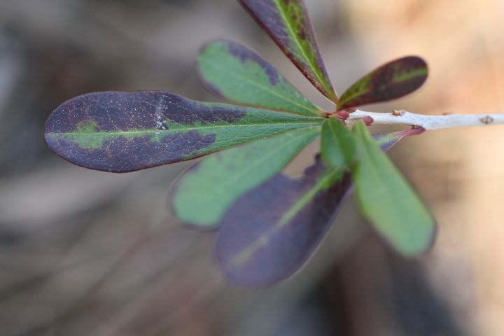
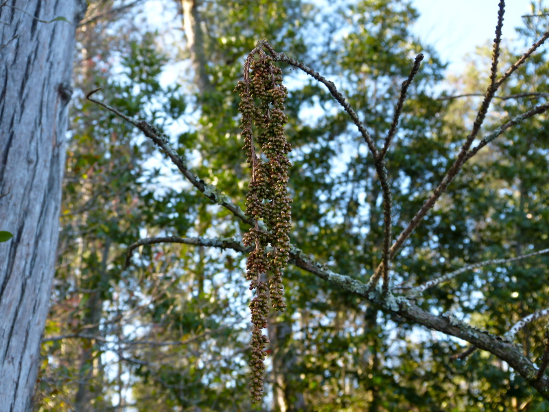
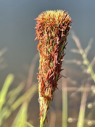
- Common WaxmyrtleMorella cerifera
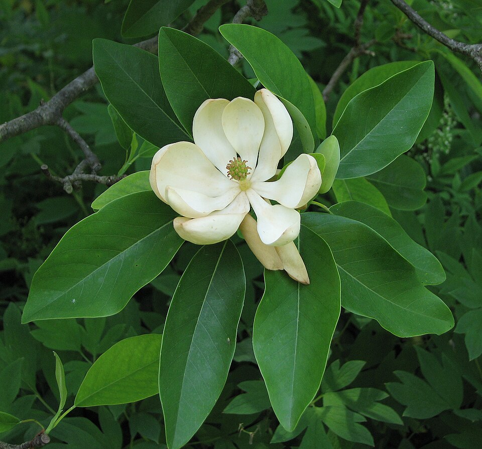
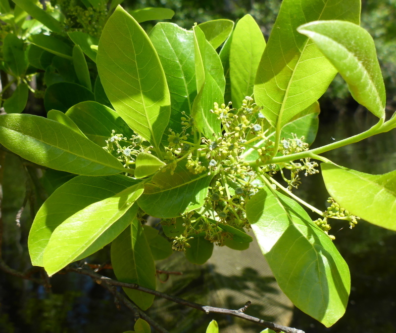
- Sweetbay MagnoliaMagnolia virginiana
- Asclepias viridulaAsclepias viridula
- TitiCyrilla racemiflora
- Serenoa repensSerenoa repens
- Pond CypressTaxodium ascendens
- Swamp TupeloNyssa biflora
- Cabbage PalmettoSabal palmetto
- Sideroxylon thorneiSideroxylon thornei
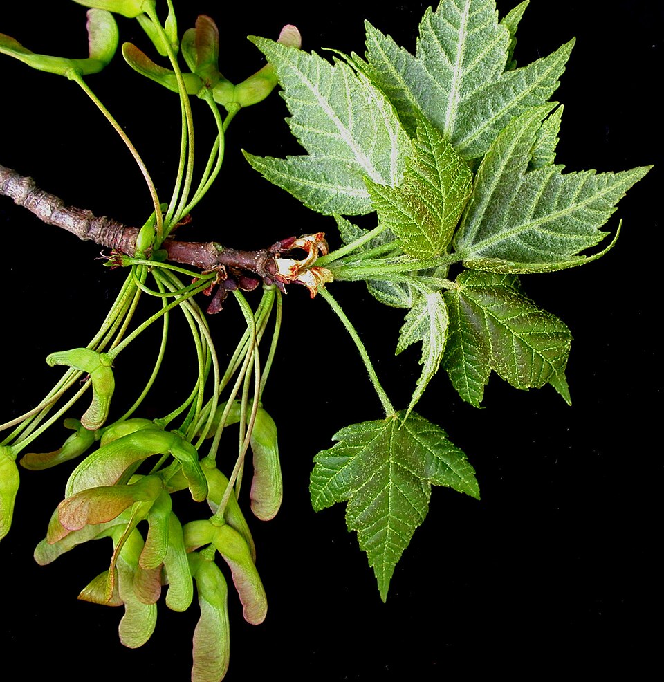
- Red MapleAcer rubrum
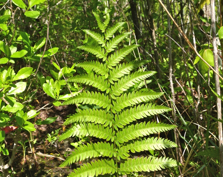
- Virginia Chain-fernAnchistea virginica
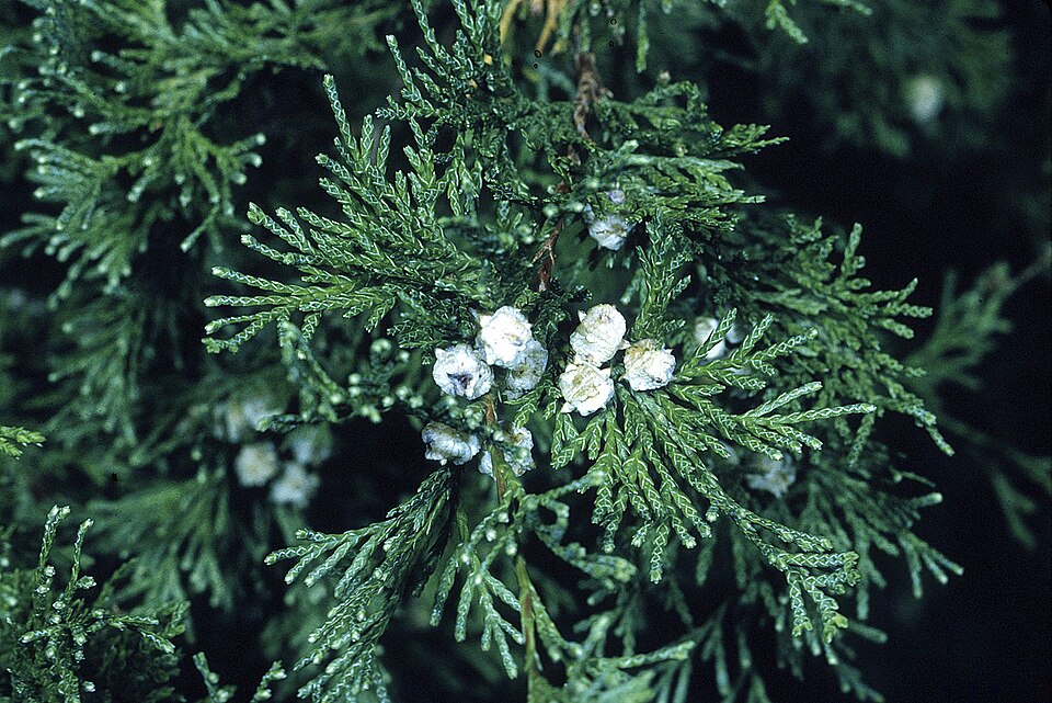
- Atlantic White CedarChamaecyparis thyoides
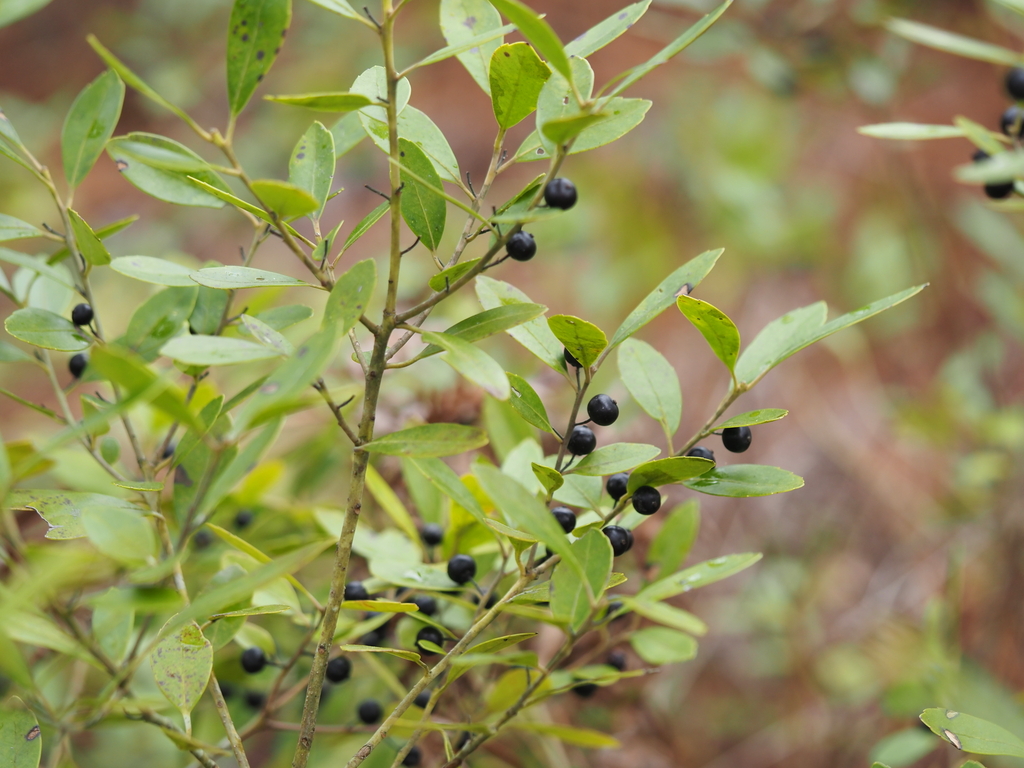
- InkberryIlex glabra
- PondberryLindera melissifolia
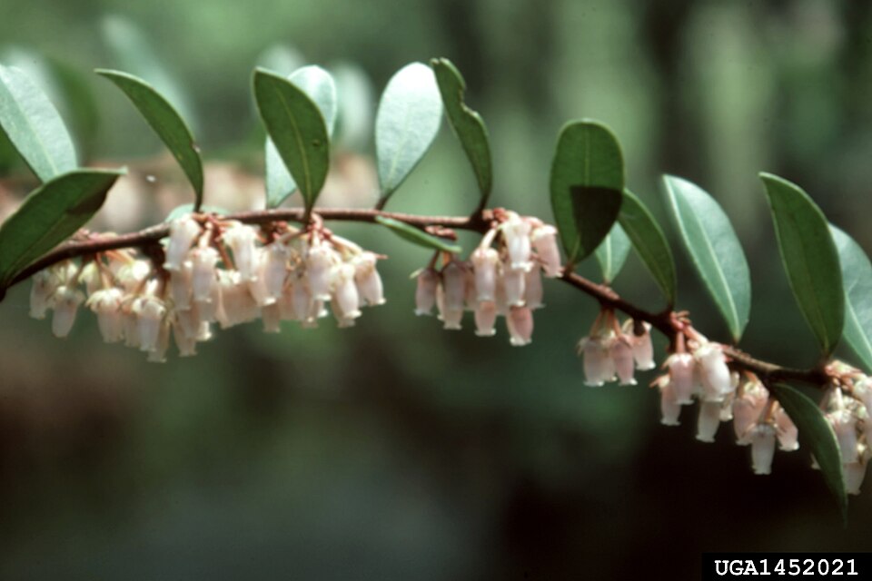
- Shining FetterbushLyonia lucida
- Macranthera flammeaMacranthera flammea
- Pieris phillyreifoliaPieris phillyreifolia
- Pinguicula planifoliaPinguicula planifolia
- Slash PinePinus elliottii
- Live OakQuercus virginiana
- Rhexia parvifloraRhexia parviflora
- Ruellia noctifloraRuellia noctiflora
- Saltmeadow CordgrassSporobolus pumilus
- Southern Waxy SedgeCarex glaucescens

Wildlife 253
Other animals whose habitat models include the same habitats in Alabama. Not sighting records.
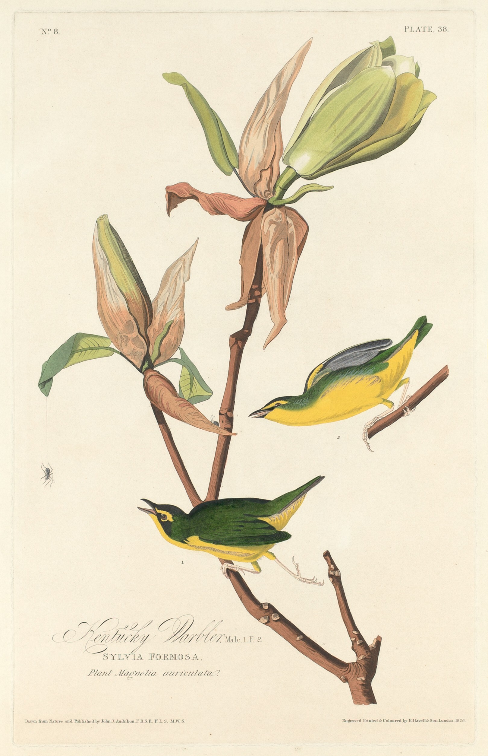
- Kentucky WarblerOporornis formosus
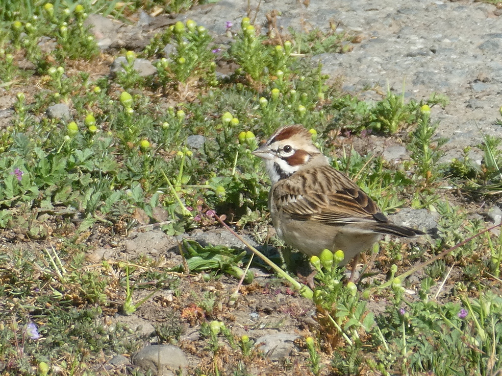
- Lark SparrowChondestes grammacus
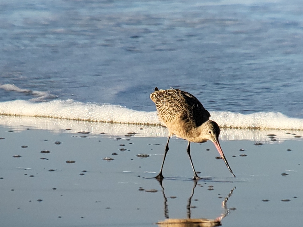
- Marbled GodwitLimosa fedoa
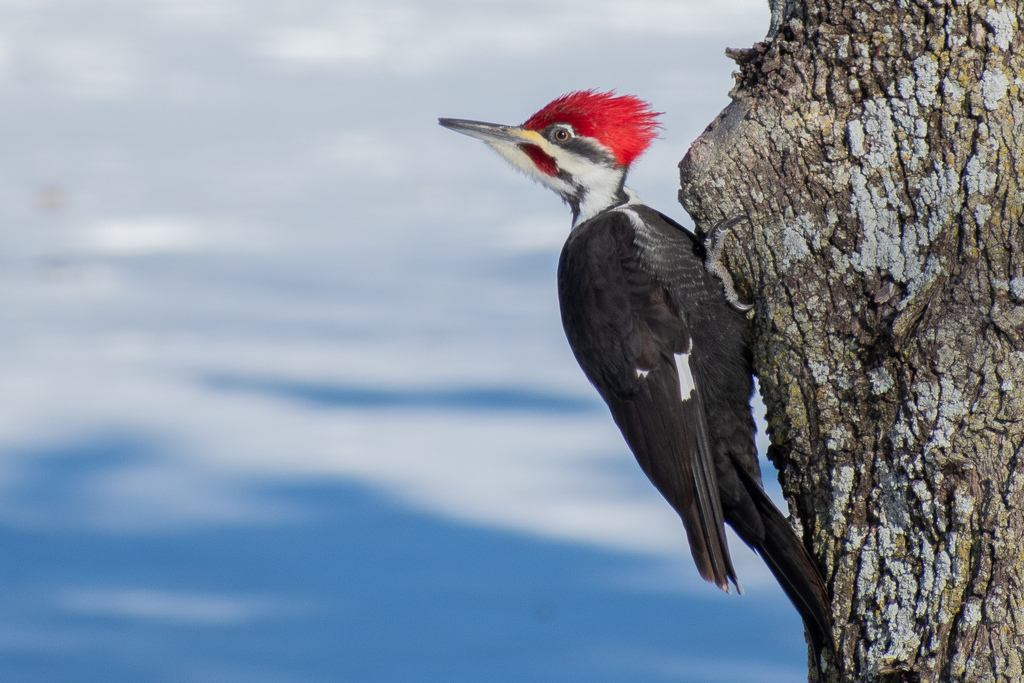
- Pileated WoodpeckerDryocopus pileatus
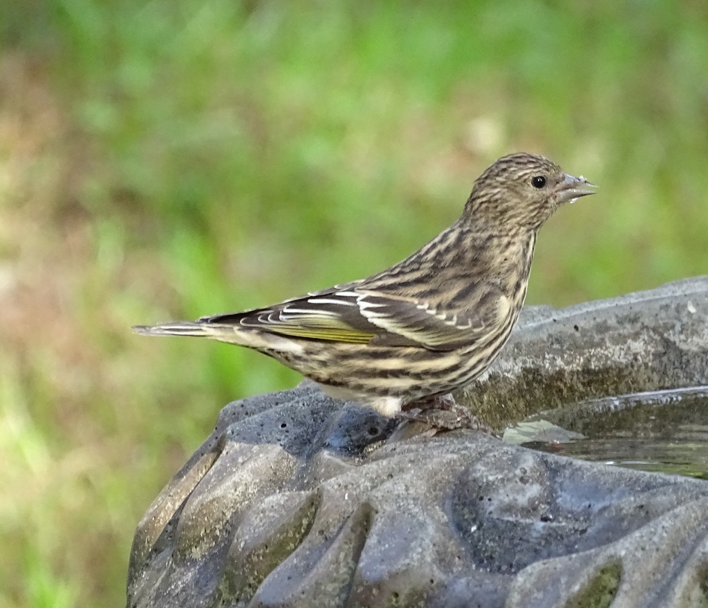
- Pine SiskinCarduelis pinus
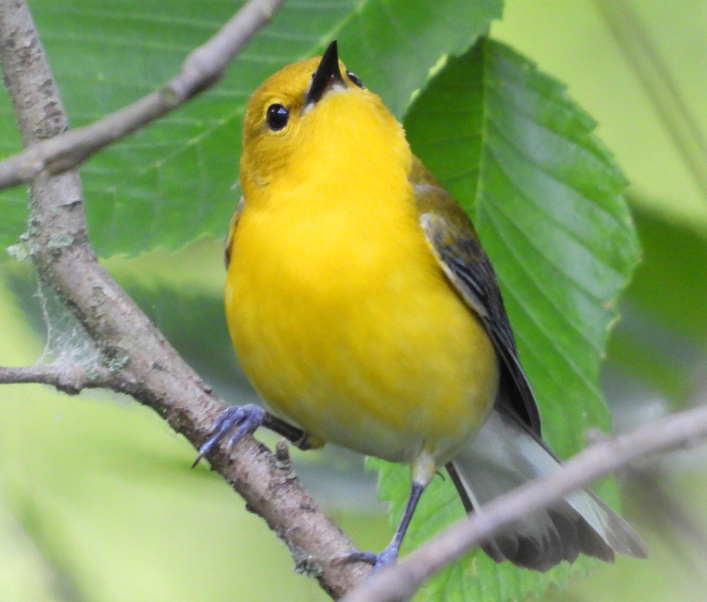
- Prothonotary WarblerProtonotaria citrea
- Purple MartinProgne subis
- Seaside SparrowAmmodramus maritimus
- Short-billed DowitcherLimnodromus griseus
- Snowy PloverCharadrius nivosus
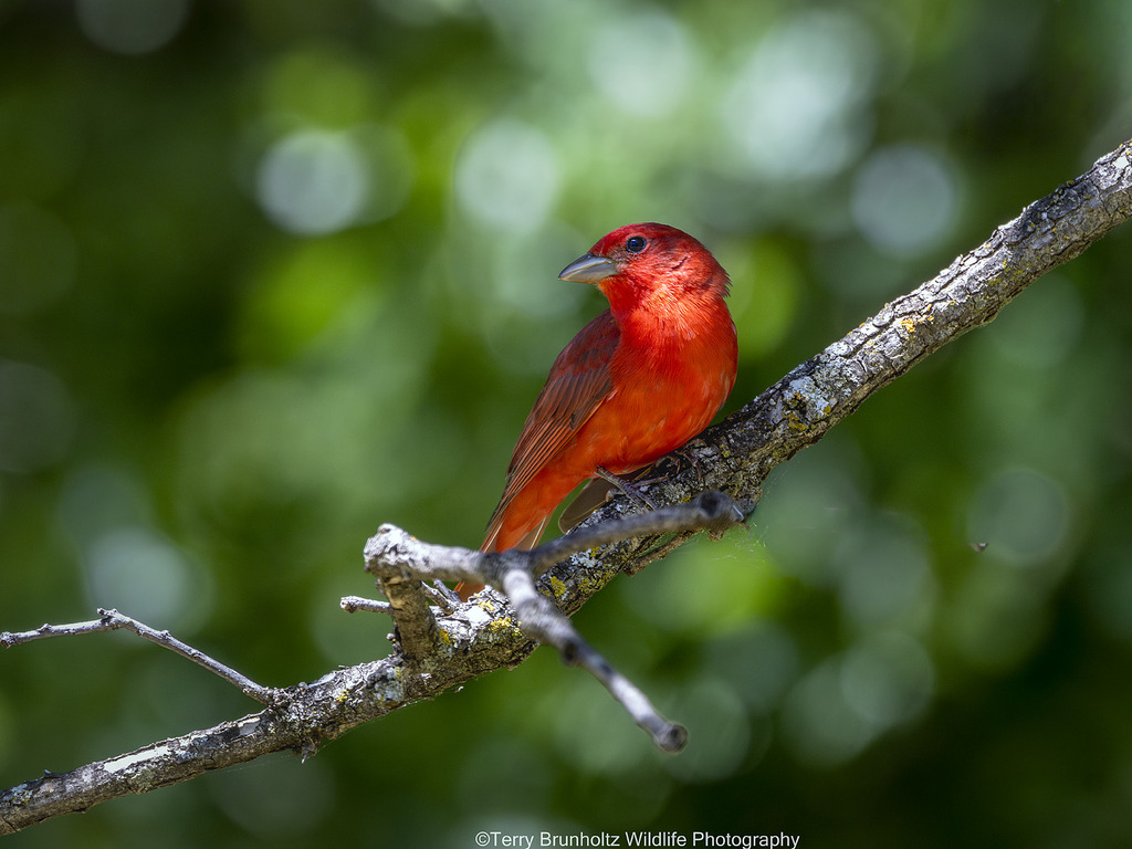
- Summer TanagerPiranga rubra
- Western Snowy PloverCharadrius nivosus nivosus
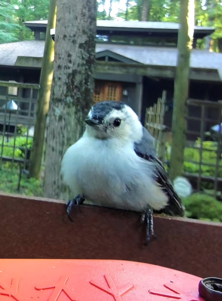
- White-breasted NuthatchSitta carolinensis
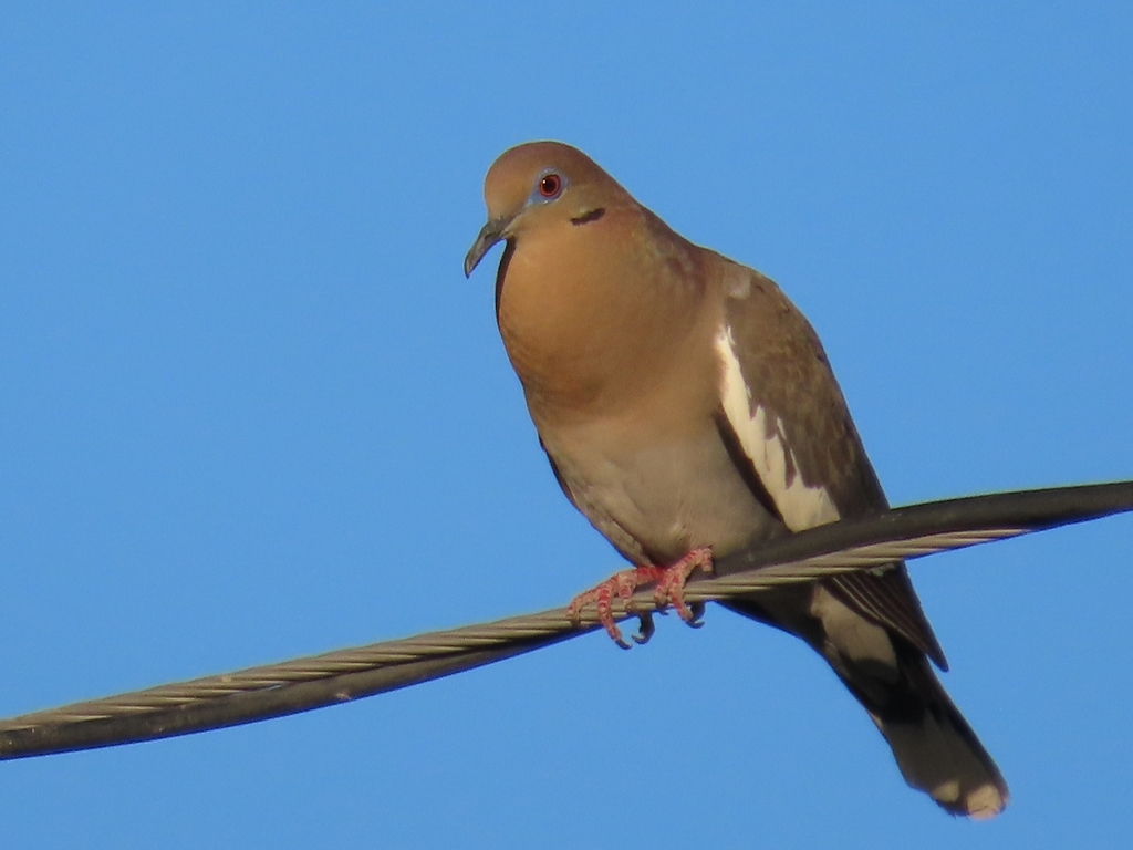
- White-winged DoveZenaida asiatica
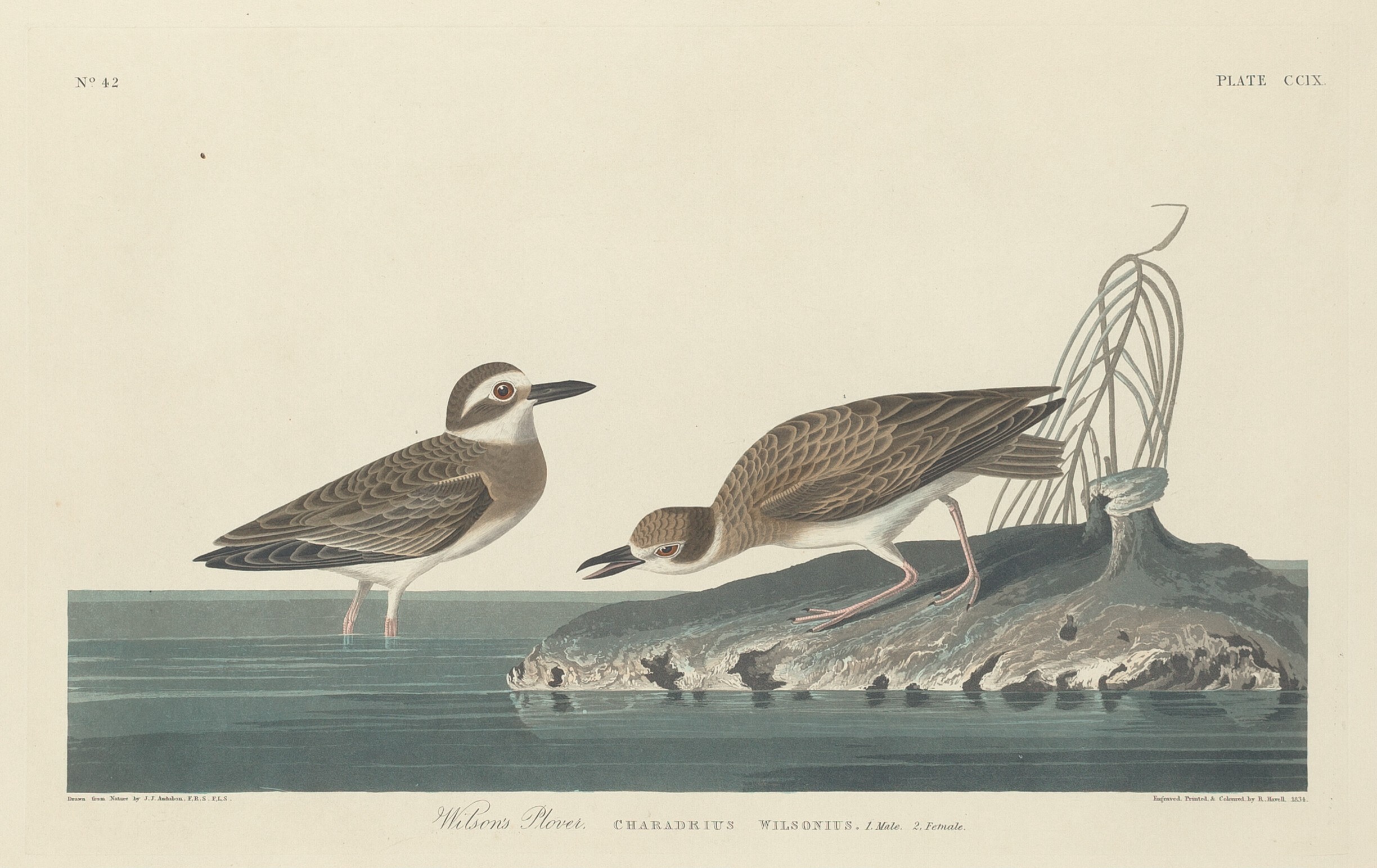
- Wilson's PloverCharadrius wilsonia
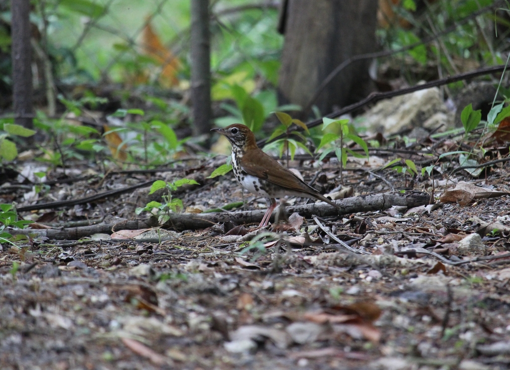
- Wood ThrushHylocichla mustelina
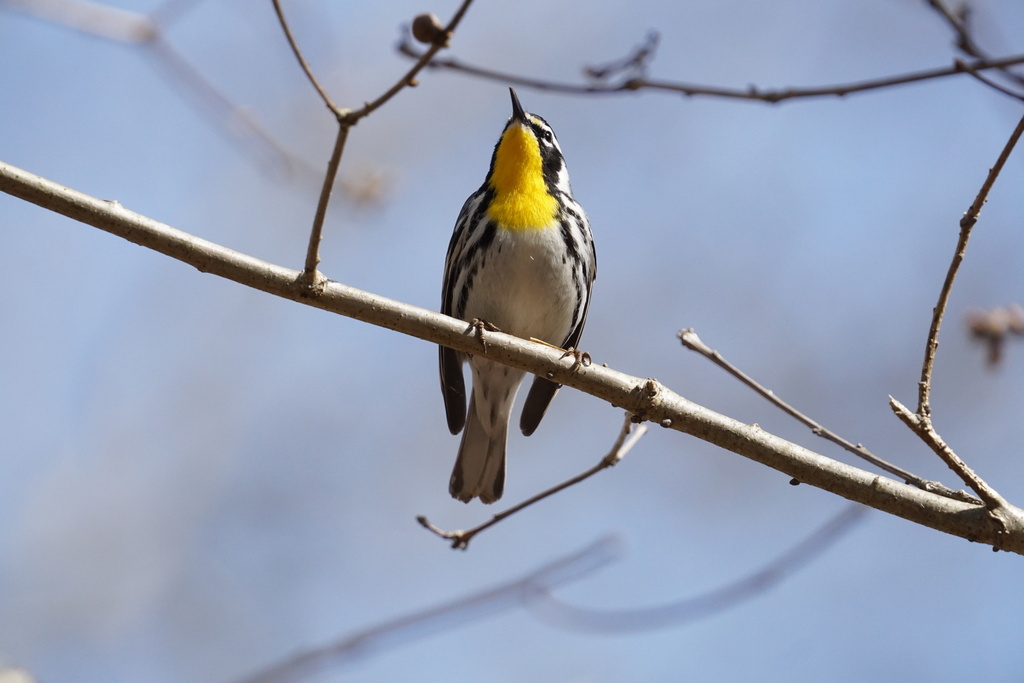
- Yellow-throated WarblerDendroica dominica
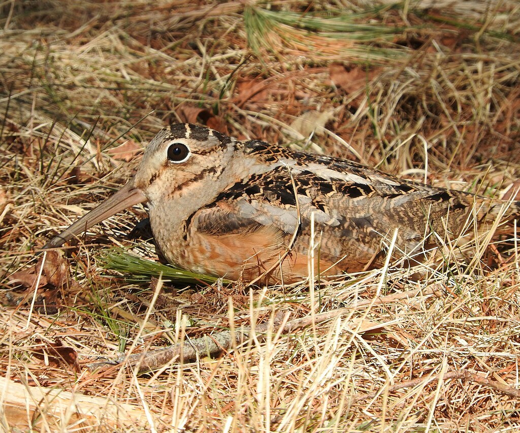
- American WoodcockScolopax minor
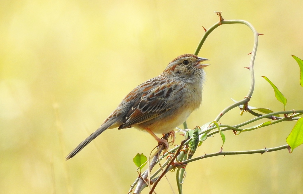
- Bachman's SparrowAimophila aestivalis
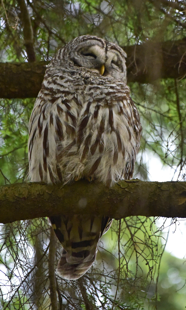
- Barred OwlStrix varia
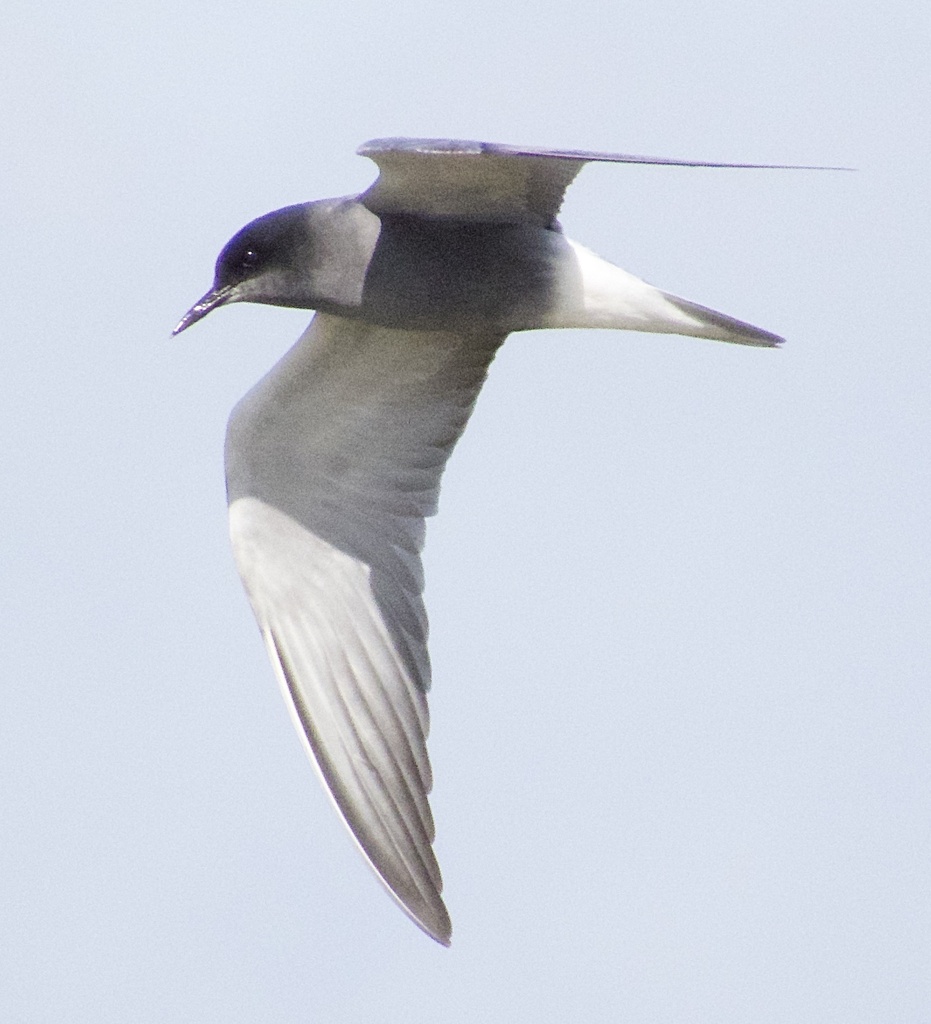
- Black TernChlidonias niger
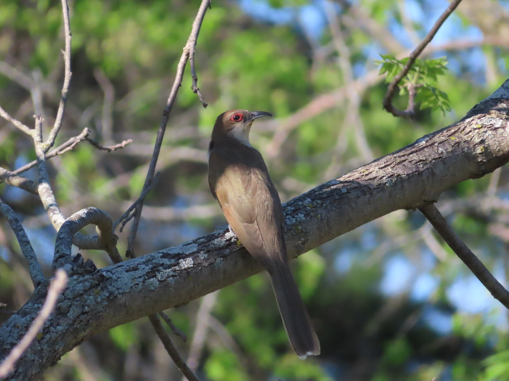
- Black-billed CuckooCoccyzus erythropthalmus
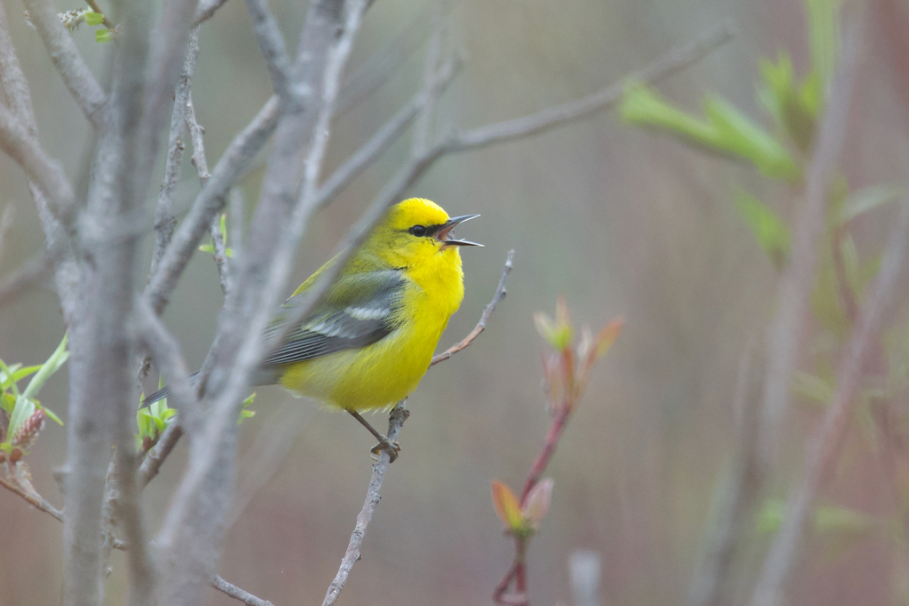
- Blue-winged WarblerVermivora pinus
- BobolinkDolichonyx oryzivorus
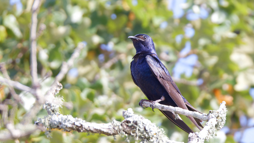
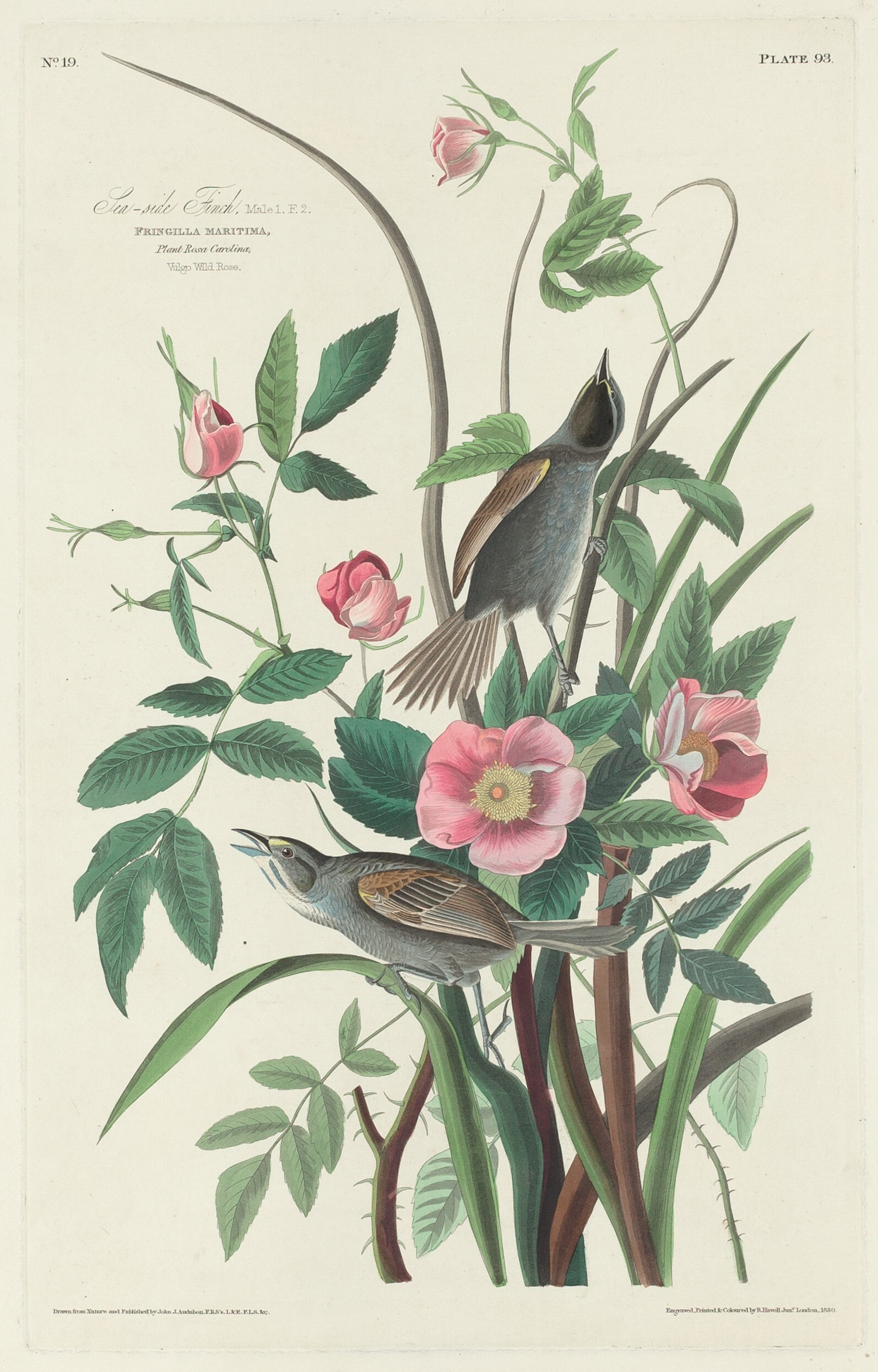
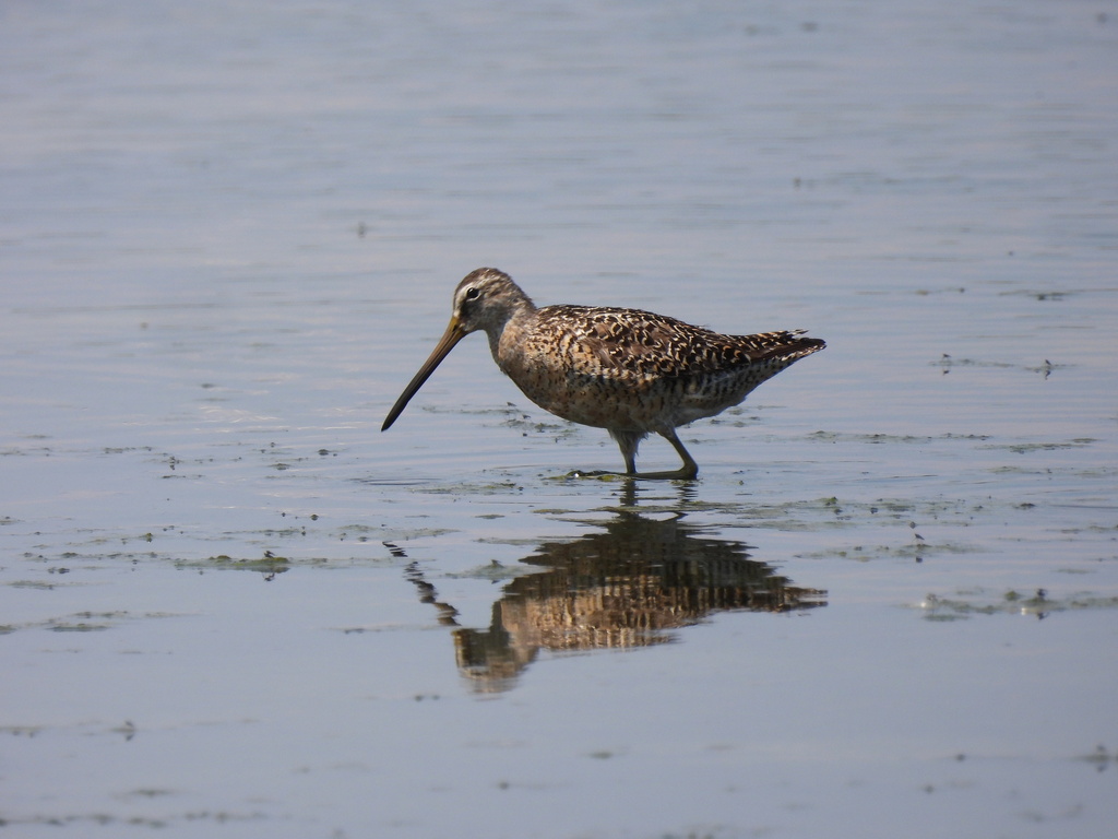
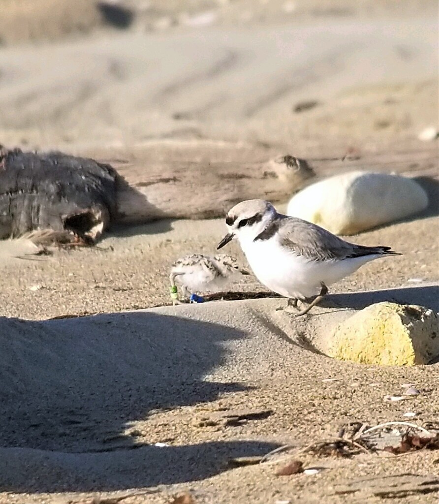
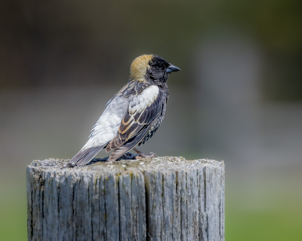
NatureServe Explorer, CC BY 4.0. USGS Gap Analysis Project habitat models.
Sources
- USGS Gap Analysis Project habitat models (2001)
- USGS GAP year-round habitat model for Boat-tailed Grackle
- USGS Gap Analysis Project range maps (2001), modeled by watershed; migratory gives no dates
- NatureServe Explorer (CC BY 4.0), habitat names
- US Census TIGER/Line counties
- Names follow the USGS Gap Analysis Project (2001)