

Bird
Blackburnian Warbler
Dendroica fusca
Passes through Alabama on migration. Found in all 67 counties, across 2 habitats.
- Here
- On migration
- Nesting
- Not known to nest here
- Range
- All 67 counties
- Habitats
- 2
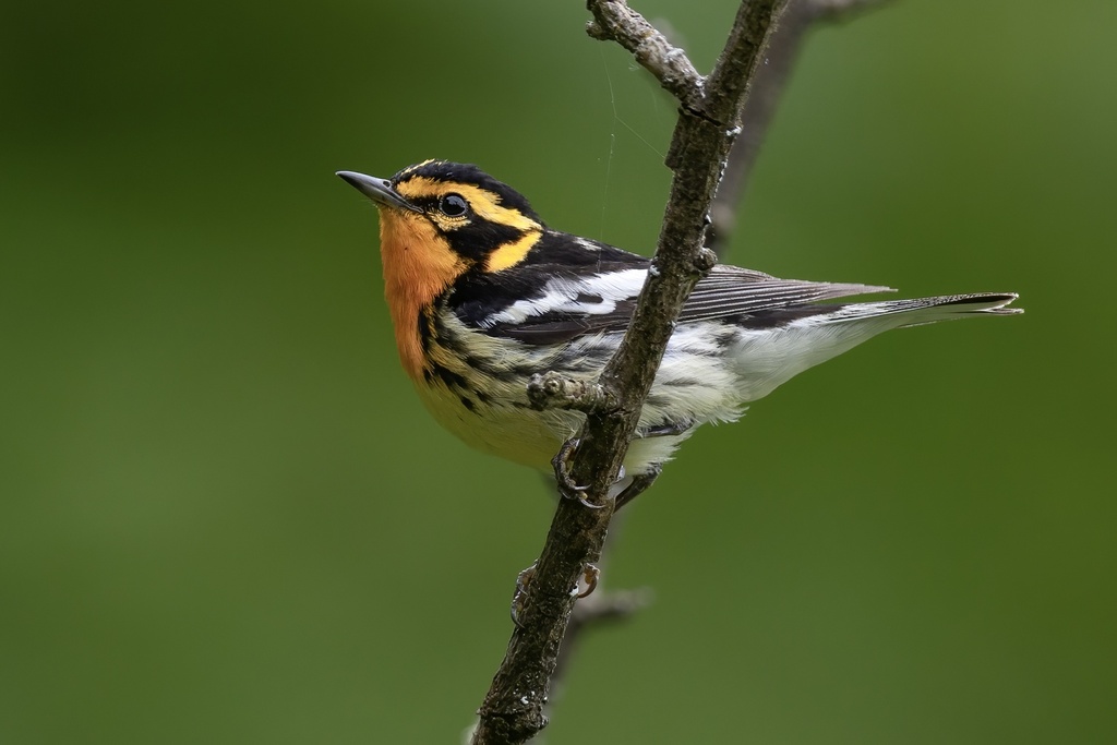
At a glance
- Group
- Birds
- Here
- On migration
- Nesting
- Not known to nest here
- Range
- All 67 counties
- Habitats
- 2
- Habitat models
- Summer
Where it lives
The places its habitat model includes. It is not found everywhere a habitat occurs.
Habitats in Alabama 2
Each habitat page lists the plants and wildlife also found there.
1 of 2
Forests and open woodlands on dry ridges and slopes, often oak or pine.
Forests between dry and moist, often oak-hickory on slopes.
Other habitats in its models (12)
Land cover, or classes with no habitat page in Alabama.
- Central and Southern Appalachian Northern Hardwood Forest Summer.
- Northeastern Interior Dry Oak Forest-Hardwood Modifier Summer.
- Northeastern Interior Dry Oak Forest - Mixed Modifier Summer.
- Southern and Central Appalachian Oak Forest - Xeric Summer.
- Southern and Central Appalachian Oak Forest Summer.
- Central and Southern Appalachian Montane Oak Forest Summer.
- Northern Atlantic Coastal Plain Dry Hardwood Forest Summer.
- Central Appalachian Oak and Pine Forest Summer.
- Appalachian Hemlock-Hardwood Forest Summer.
- Southern and Central Appalachian Cove Forest Summer.
- Southern Appalachian Montane Pine Forest and Woodland Summer.
- Central and Southern Appalachian Spruce-Fir Forest Summer.
Seasons in Alabama
- Migratory: does not nest here, in all 67 counties.
Also found in this habitat
Plants 183
Plants named in NatureServe descriptions of these habitats that grow in Alabama. Shared habitat, not food.
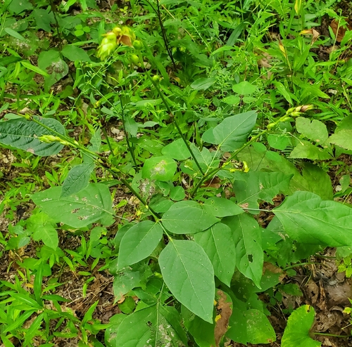
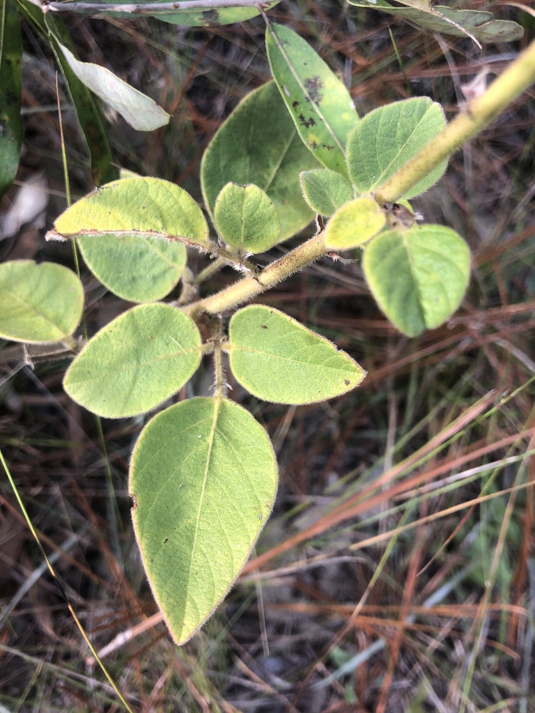
- Largebract Tick-trefoilDesmodium cuspidatum
- Nuttall's Tick-trefoilDesmodium nuttallii
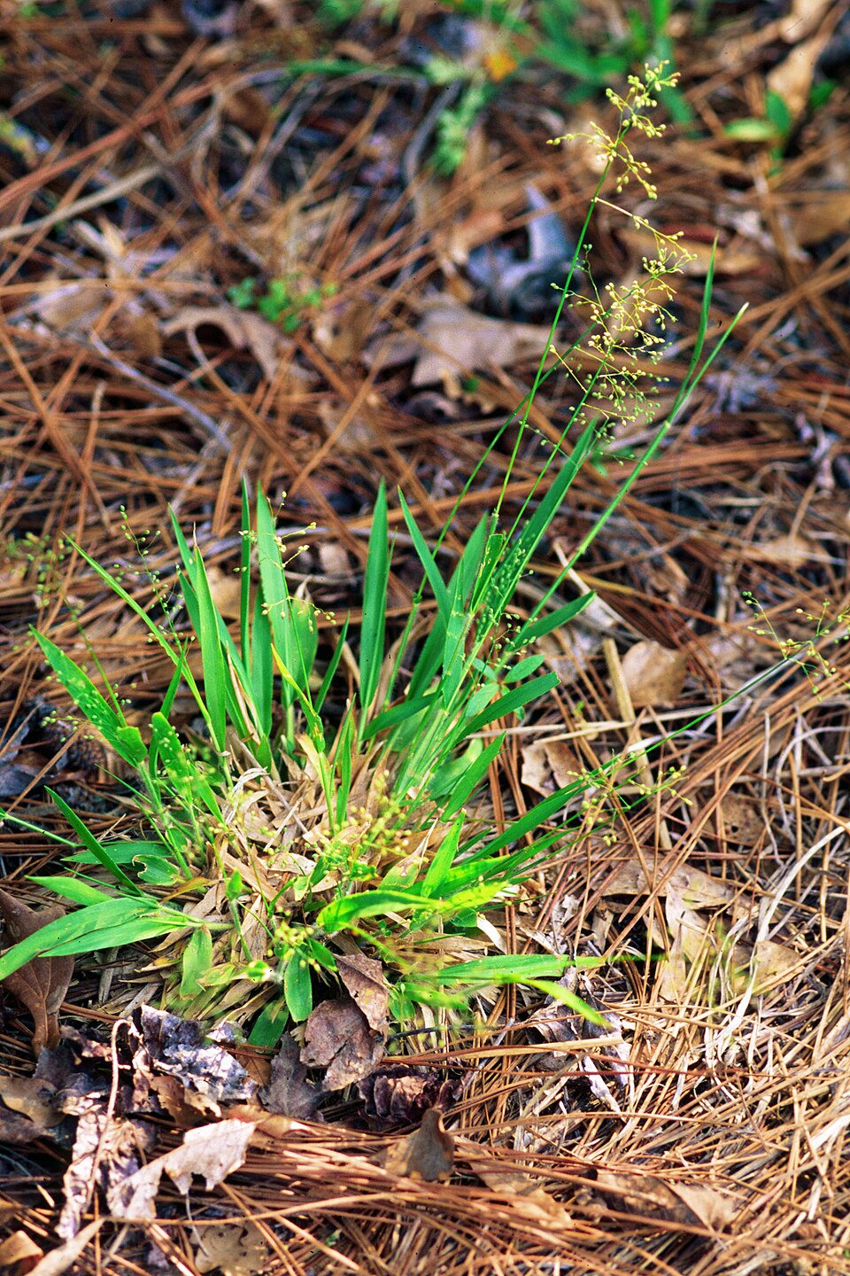
- Deer-tongue WitchgrassDichanthelium clandestinum
- Open-flower WitchgrassDichanthelium laxiflorum
- Hairy Bush HoneysuckleDiervilla rivularis
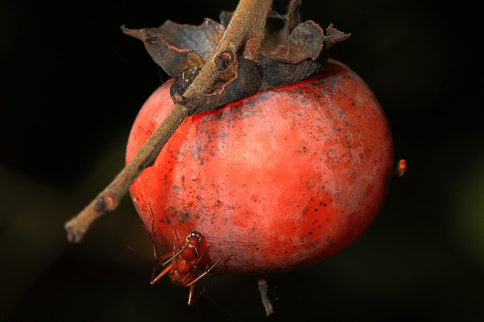
- American PersimmonDiospyros virginiana
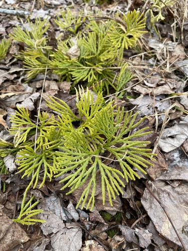
- Southern Ground-cedarDiphasiastrum digitatum
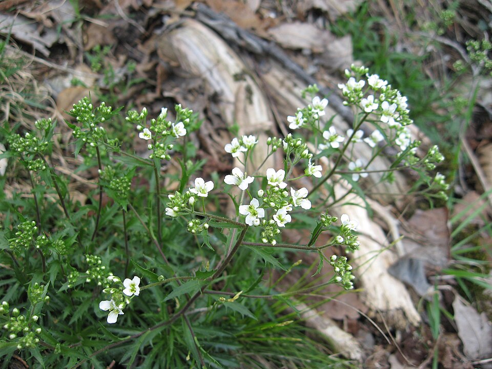
- Branched DrabaDraba ramosissima
- Virginia SnakerootEndodeca serpentaria
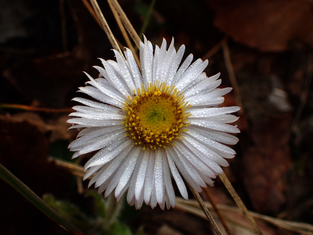
- Robin's-plantainErigeron pulchellus
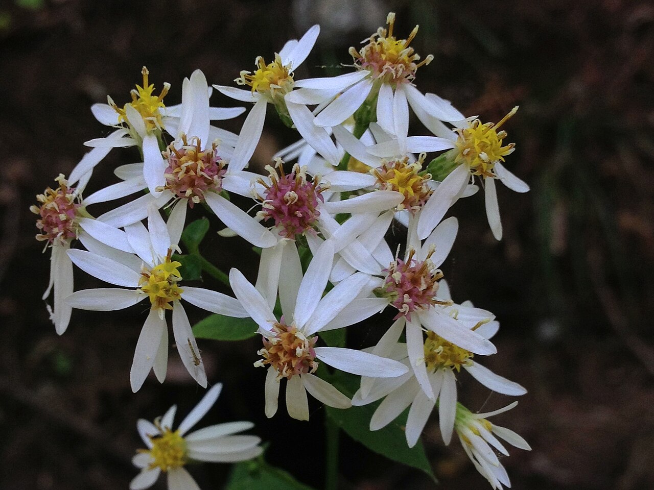
- White Wood-asterEurybia divaricata
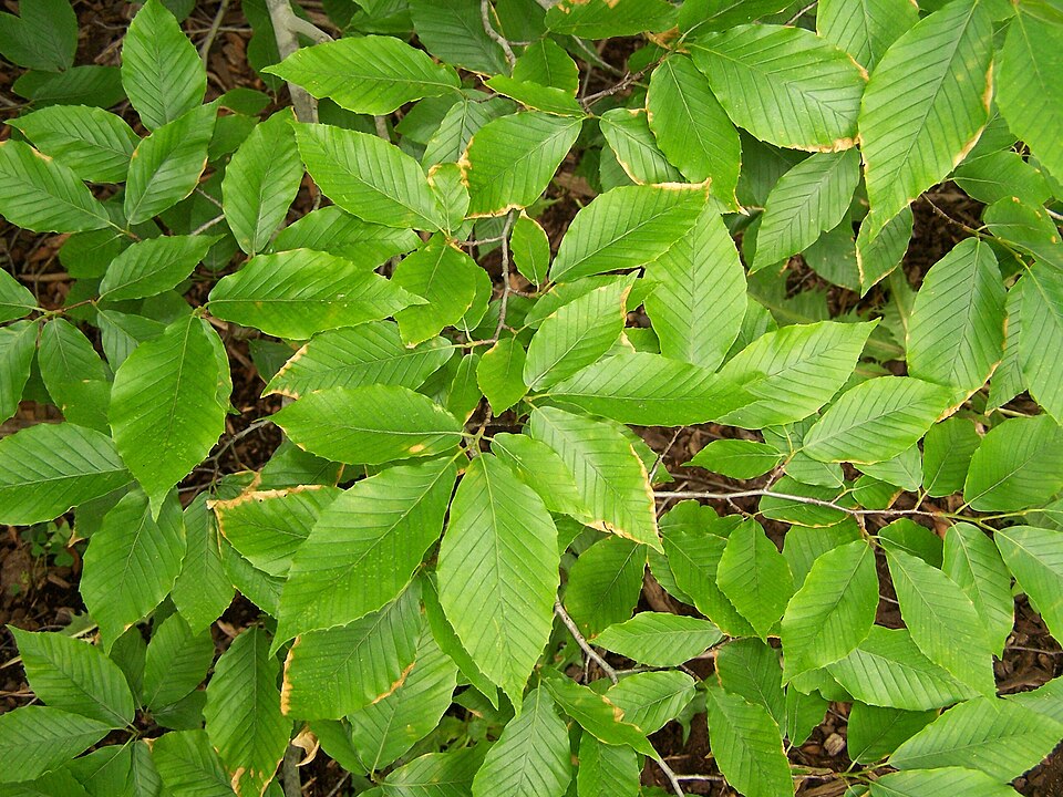
- American BeechFagus grandifolia
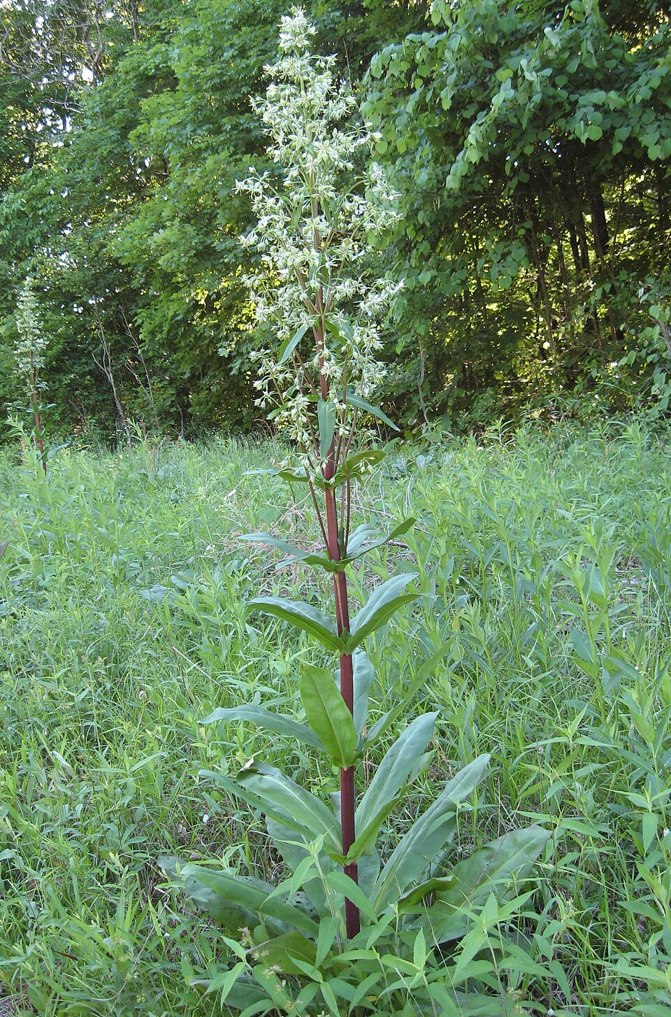
- American ColumboFrasera caroliniensis
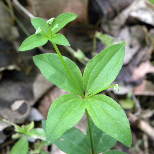
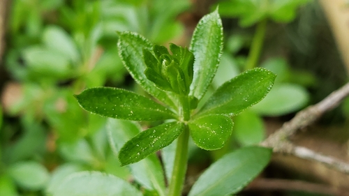
- Licorice BedstrawGalium circaezans
- Fragrant BedstrawGalium triflorum
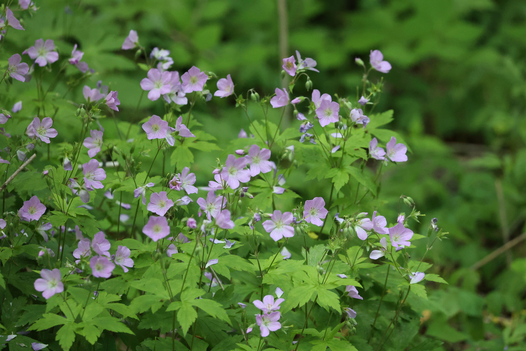
- Wild GeraniumGeranium maculatum
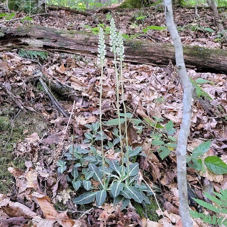
- Downy Rattlesnake-plantainGoodyera pubescens
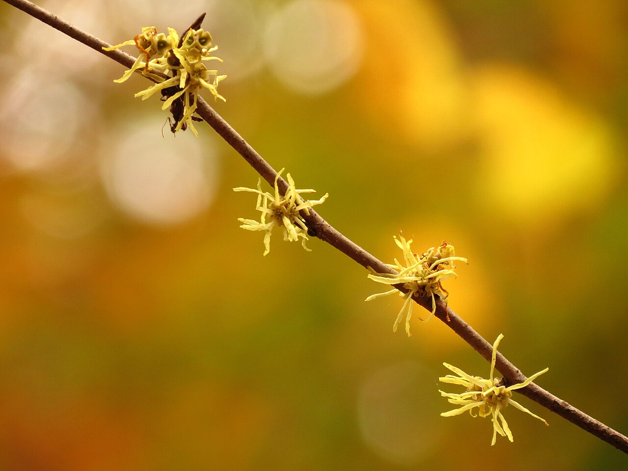
- American Witch-hazelHamamelis virginiana
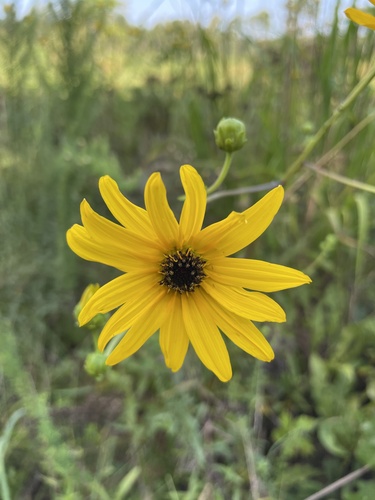
- Purpledisk SunflowerHelianthus atrorubens
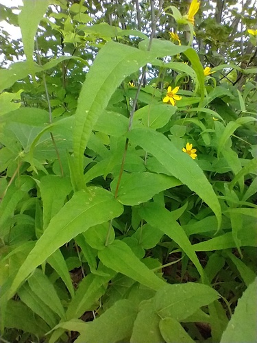
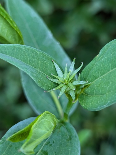
- Woodland SunflowerHelianthus divaricatus
- Eggerts SunflowerHelianthus eggertii
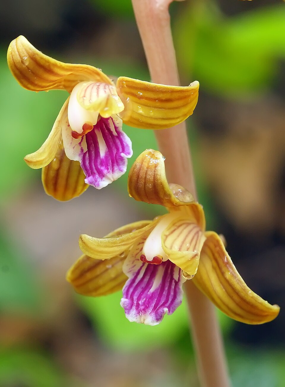
- Crested CoralrootHexalectris spicata
- Beaked HawkweedHieracium gronovii
- Smooth HydrangeaHydrangea arborescens
Wildlife 119
Other animals whose habitat models include the same habitats in Alabama. Not sighting records.
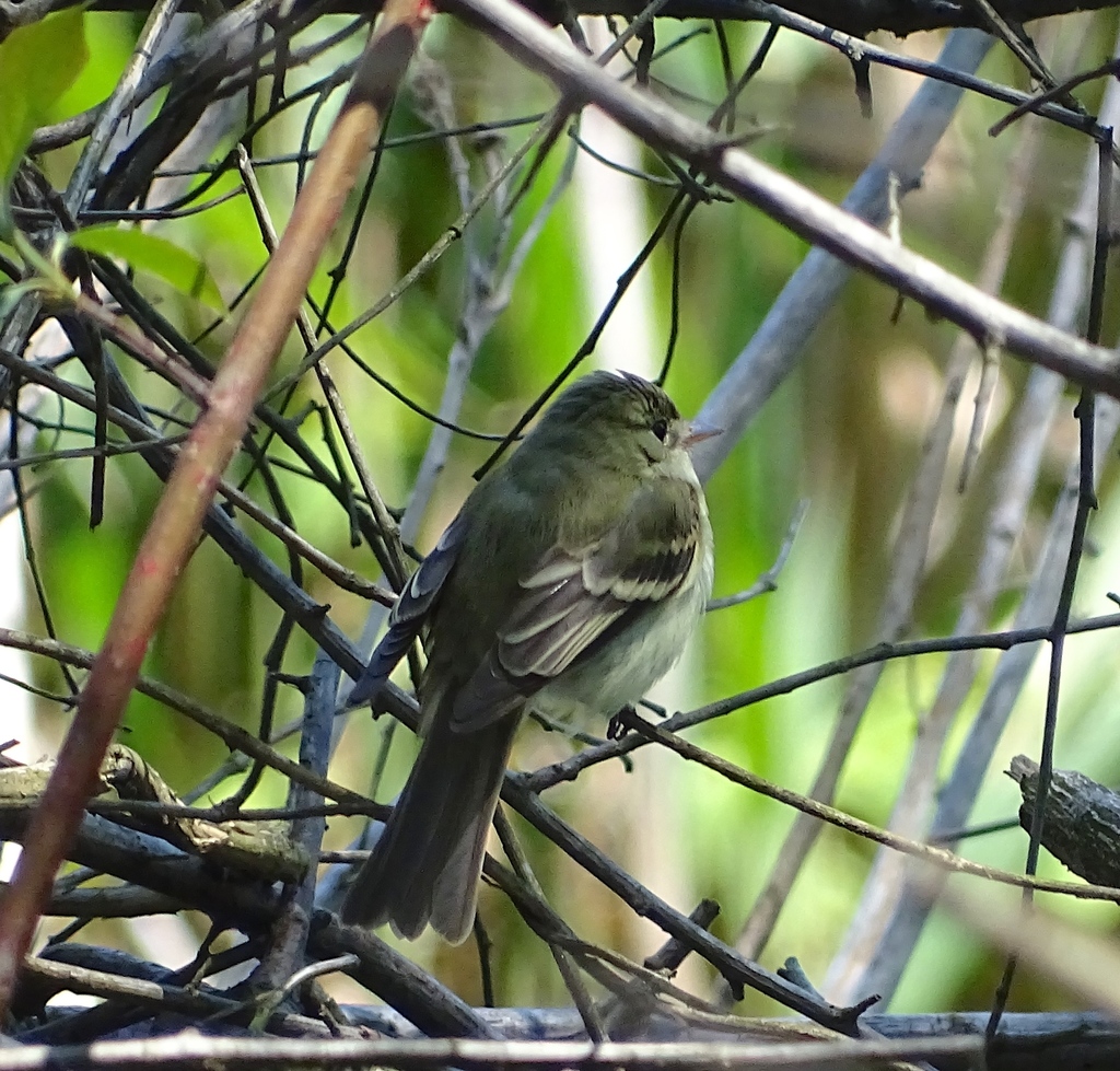
- Acadian FlycatcherEmpidonax virescens
- American CrowCorvus brachyrhynchos
- American GoldfinchCarduelis tristis
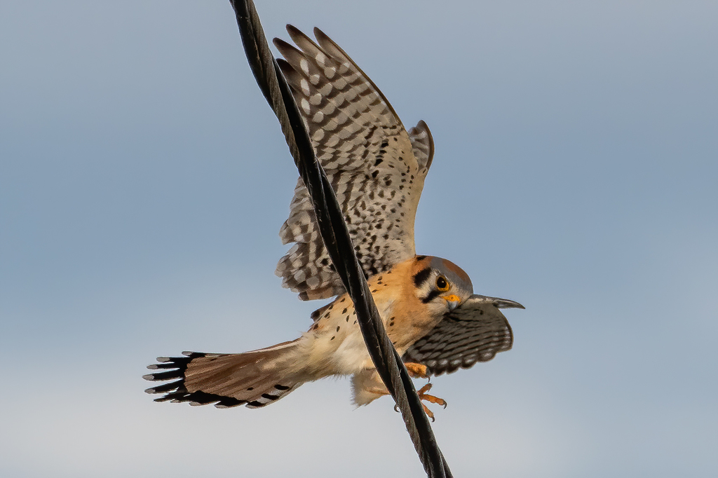
- American KestrelFalco sparverius
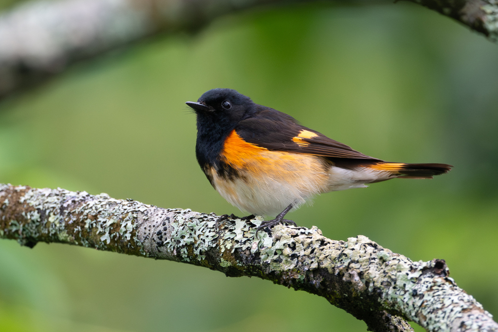
- American RedstartSetophaga ruticilla
- American RobinTurdus migratorius
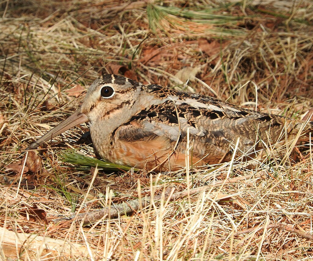
- American WoodcockScolopax minor
- Bald EagleHaliaeetus leucocephalus
- Baltimore OrioleIcterus galbula
- Barred OwlStrix varia
- Belted KingfisherMegaceryle alcyon
- Black VultureCoragyps atratus
- Black-and-White WarblerMniotilta varia
- Black-billed CuckooCoccyzus erythropthalmus
- Black-throated Green WarblerDendroica virens
- Blue GrosbeakPasserina caerulea
- Blue JayCyanocitta cristata
- Blue-gray GnatcatcherPolioptila caerulea
- Blue-winged WarblerVermivora pinus
- Broad-winged HawkButeo platypterus
- Brown CreeperCerthia americana
- Brown ThrasherToxostoma rufum
- Brown-headed CowbirdMolothrus ater
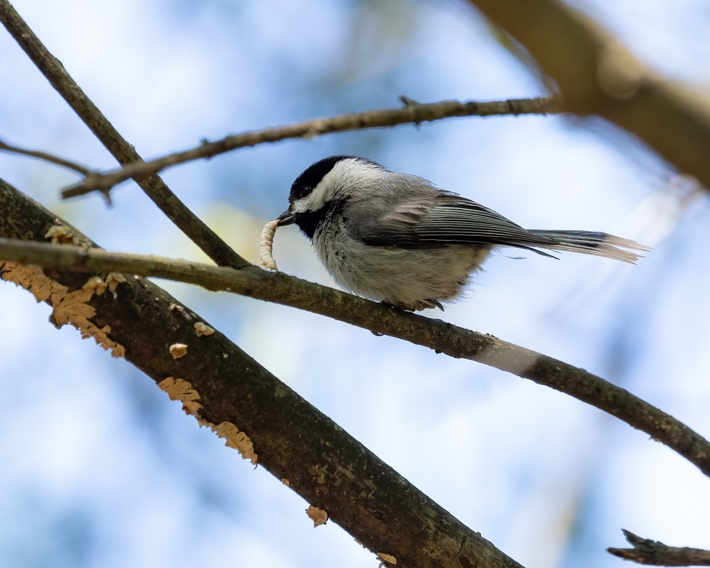
- Carolina ChickadeePoecile carolinensis



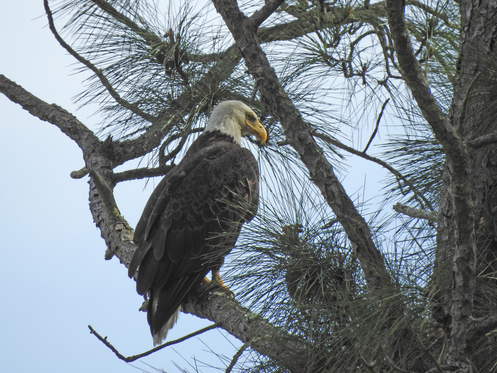
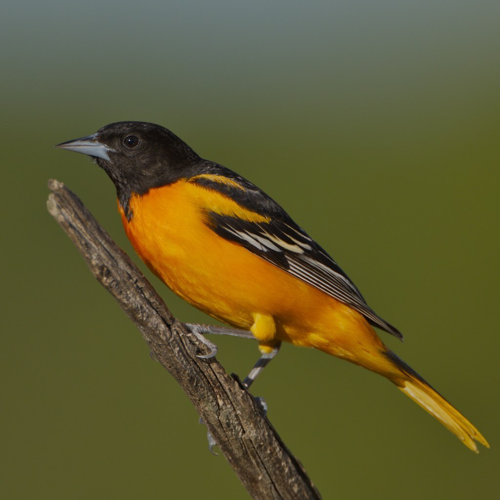
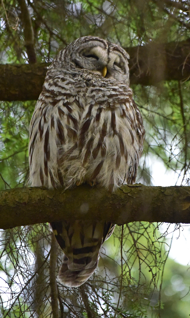
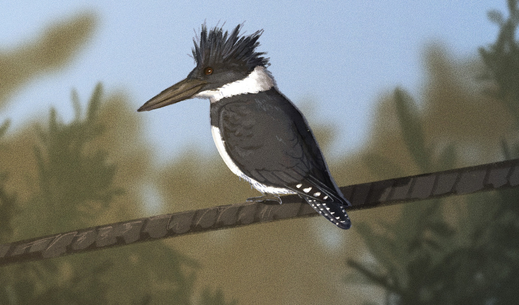
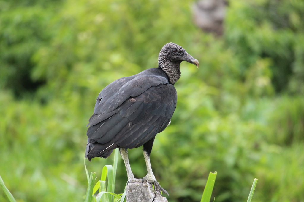
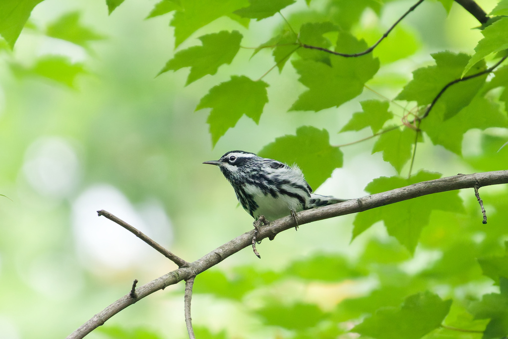
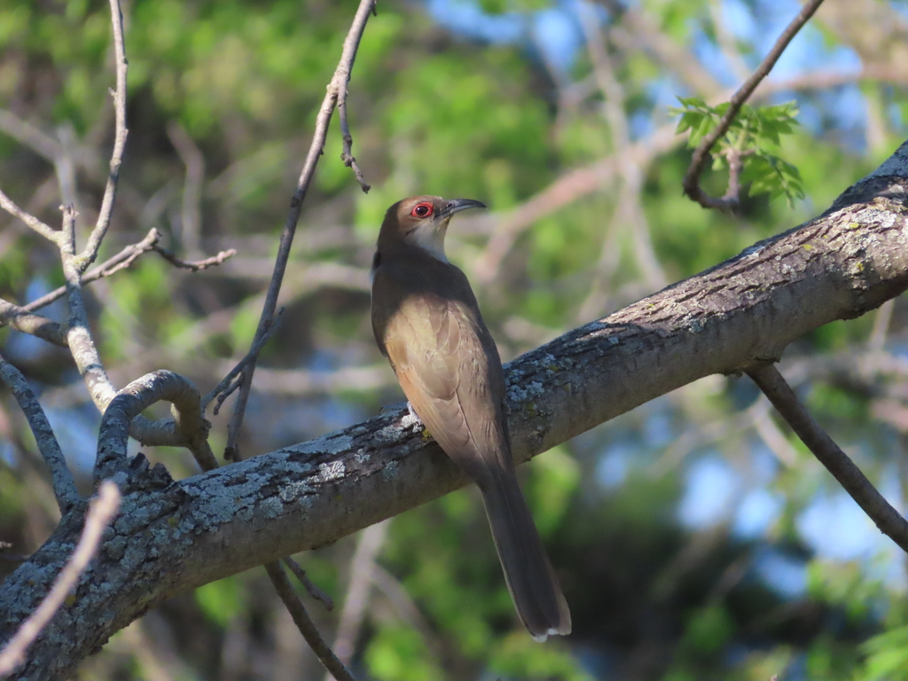
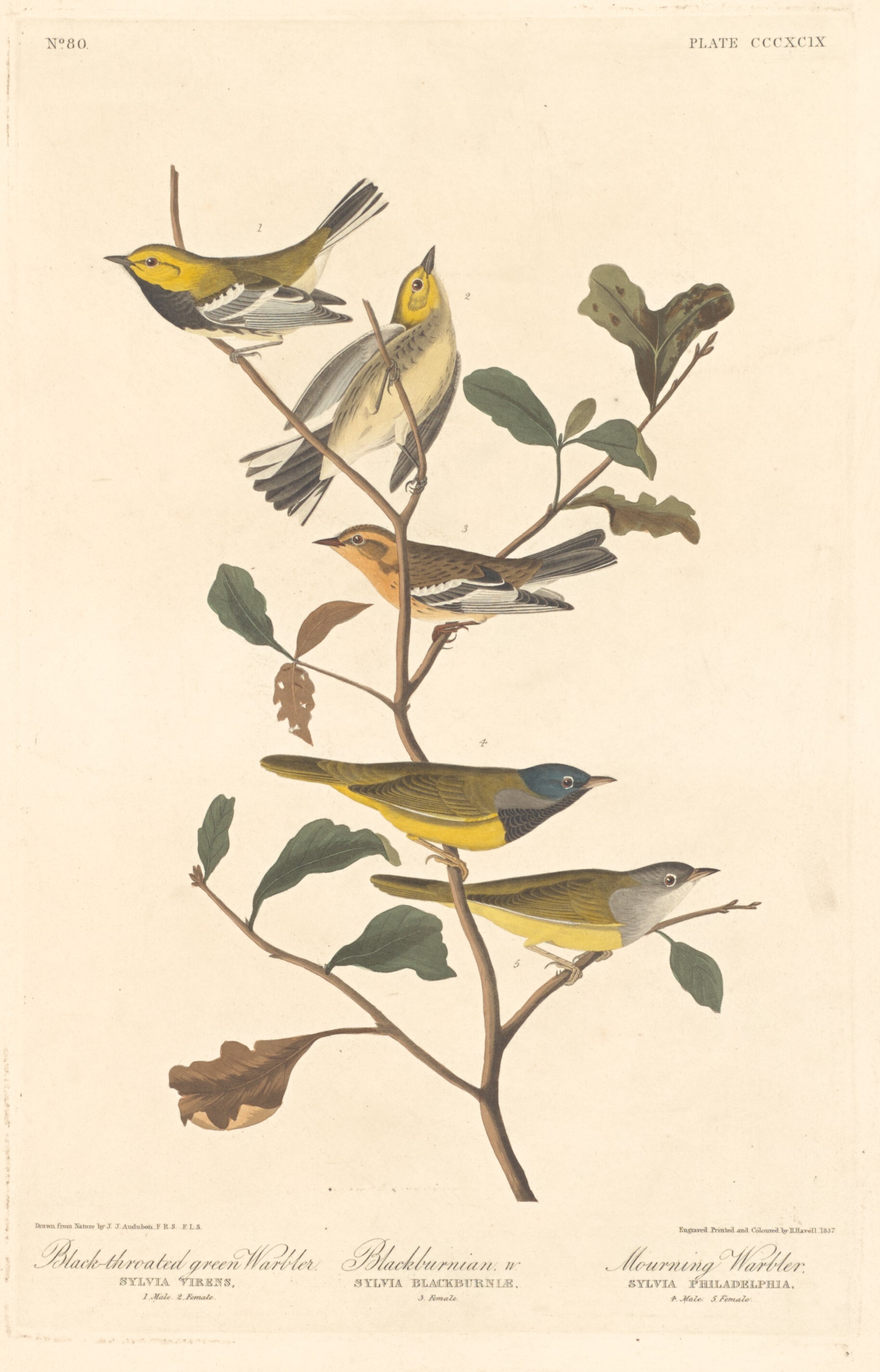
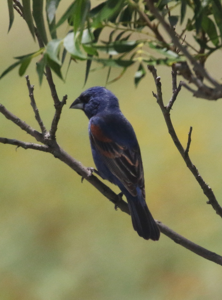
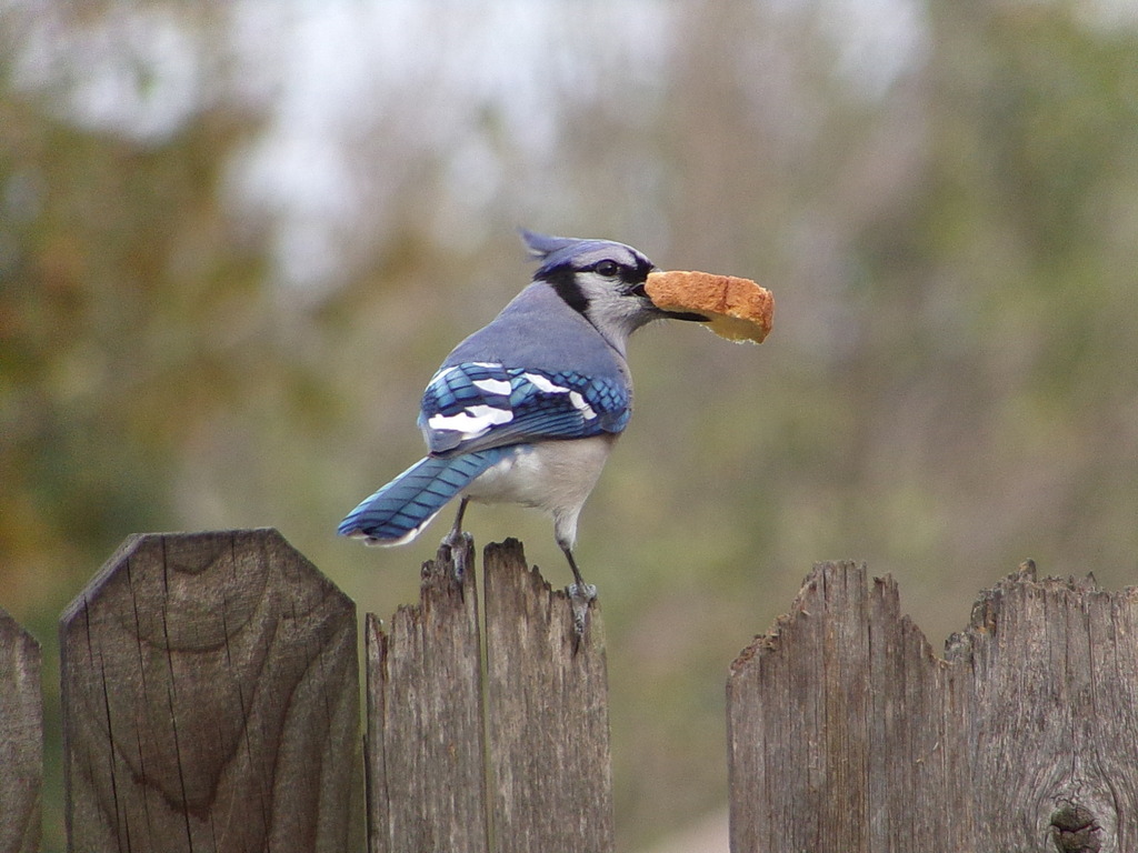
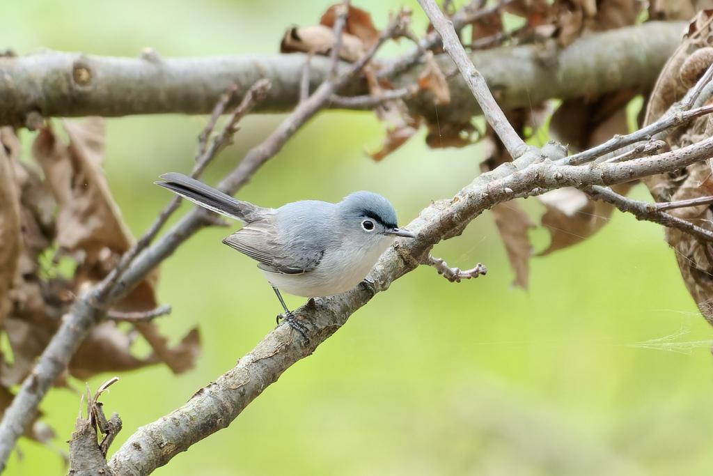
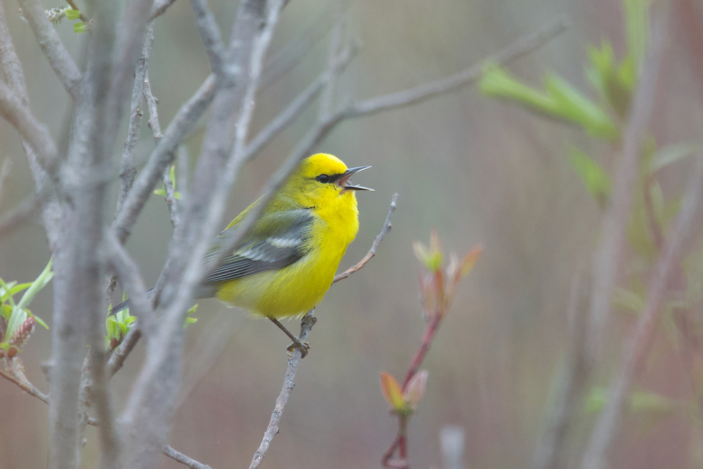
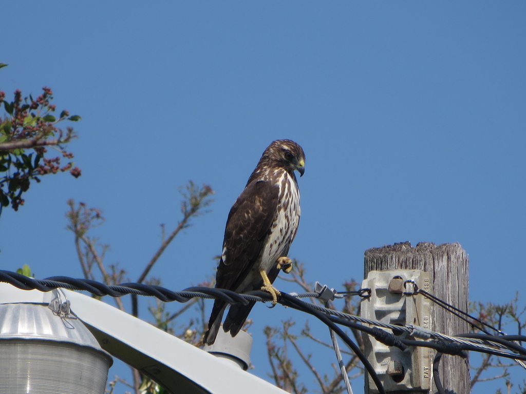
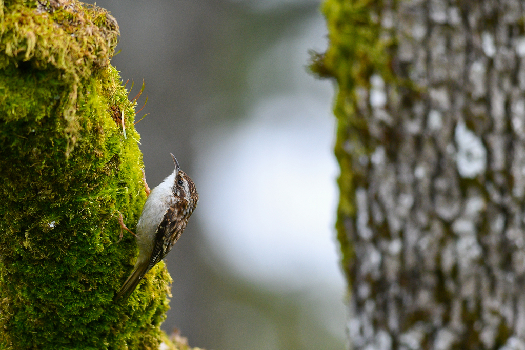
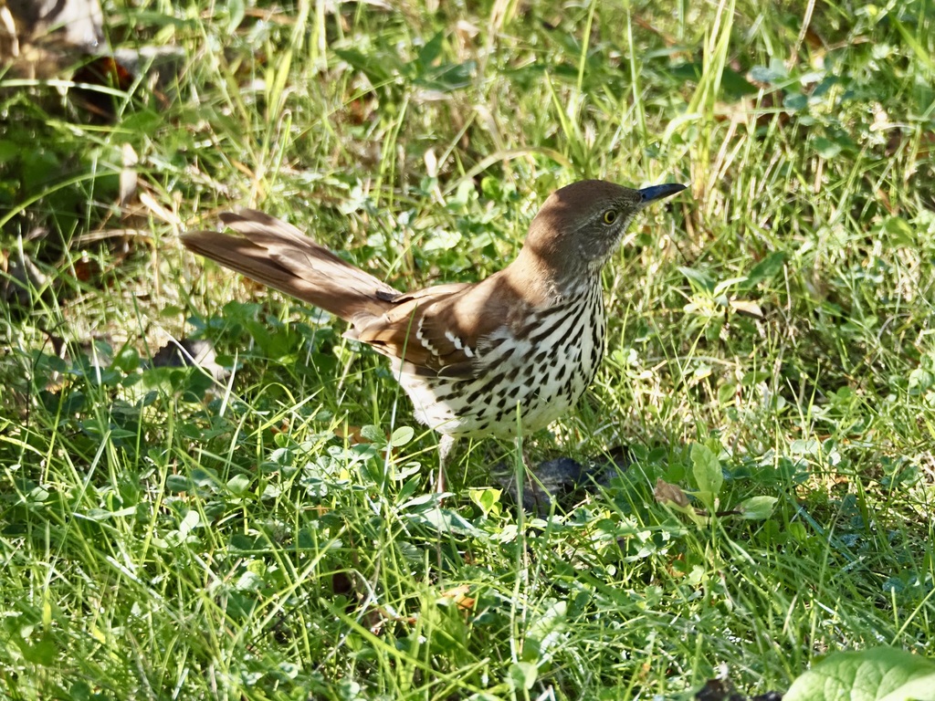
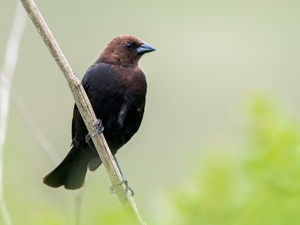
NatureServe Explorer, CC BY 4.0. USGS Gap Analysis Project habitat models.
Sources
- USGS Gap Analysis Project habitat models (2001)
- USGS GAP summer habitat model for Blackburnian Warbler Elevation 480 to 2,500 m
- USGS Gap Analysis Project range maps (2001), modeled by watershed; migratory gives no dates
- NatureServe Explorer (CC BY 4.0), habitat names
- US Census TIGER/Line counties
- Names follow the USGS Gap Analysis Project (2001)