

Bird
Bank Swallow
Riparia riparia
Passes through Alabama on migration. Found in all 67 counties, across 17 habitats.
- Here
- On migration
- Nesting
- Not known to nest here
- Range
- All 67 counties
- Habitats
- 17

At a glance
- Group
- Birds
- Here
- On migration
- Nesting
- Not known to nest here
- Range
- All 67 counties
- Habitats
- 17
- Habitat models
- Summer
Where it lives
The places its habitat model includes. It is not found everywhere a habitat occurs.
Habitats in Alabama 17
Each habitat page lists the plants and wildlife also found there.
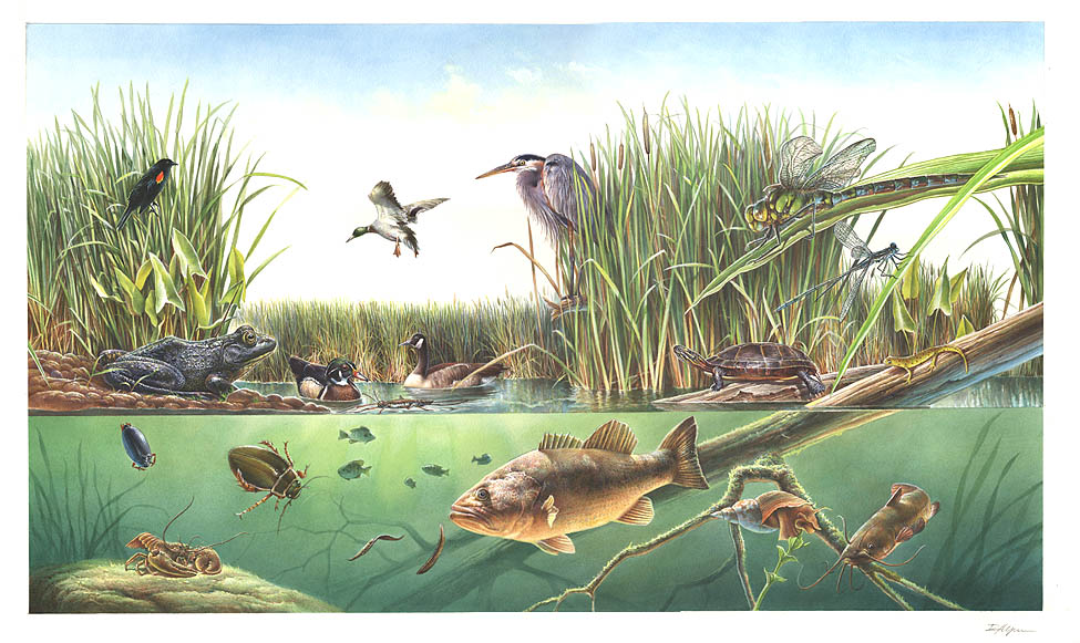
Open sand of beaches, dunes and the hollows between them.
Open, wet, seepage-fed bogs of the Coastal Plain and Sandhills, often with pitcher plants.
Coastal tidal marshes (salinity not stated)
Tidal marshes of the Atlantic and Gulf coasts where the source does not say whether the water is fresh, brackish or salt. A stated salinity files the marsh under freshwater tidal marshes or salt and brackish marshes instead.
Disturbed and introduced wetlands
Wet ground taken over by weedy or introduced plants after disturbance, such as common reed, Chinese tallow or tamarisk stands; the upland counterpart is roadsides, fields and disturbed ground.
Floodplain and bottomland forests
Forests on low ground beside rivers and streams that flood from time to time.
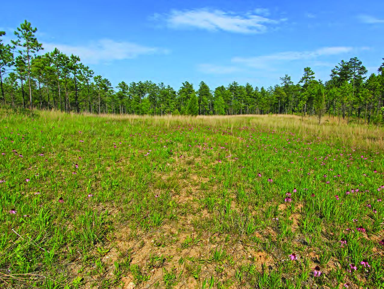
Open, fire-kept longleaf pine stands over grasses and wildflowers on wet to moist sandy soil.
Coastal marshes flooded by salty or brackish tides.
Salt and brackish open water of sounds, bays and estuaries, with the mud and sand flats and seagrass beds that tides cover and uncover; the vegetated marsh is salt and brackish marshes.
Streams, rivers and their banks
Flowing water and its banks, bars and rocky shoals.
Cliffs, ledges and rocky summits
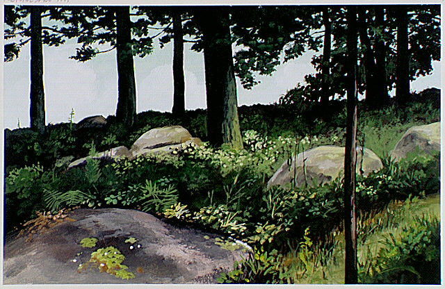
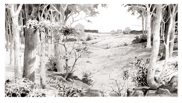
Glades, barrens and outcrops on limestone
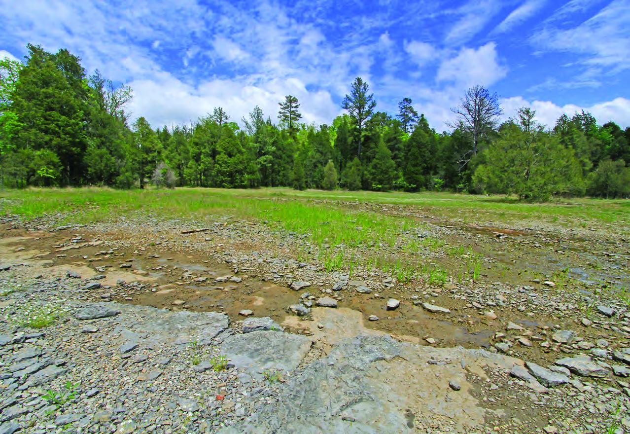
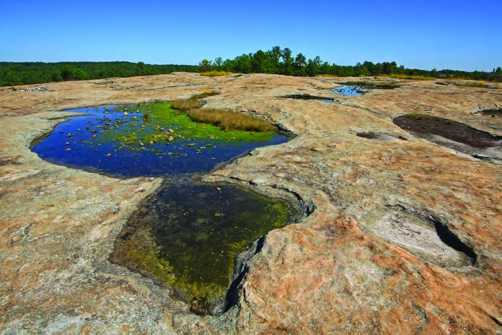
Granite and other acidic rock outcrops
Flat, sandy Coastal Plain pine woodlands, wetter than sandhills and denser than savannas.
Roadsides, fields and disturbed ground
Ground opened by people: roadsides, old fields, pastures, fencerows and lots.
Other habitats in its models (86)
Land cover, or classes with no habitat page in Alabama.
- Developed, Low Intensity Summer, only within 250 m of water.
- Quarries, Mines, Gravel Pits and Oil Wells Summer, only within 250 m of water.
- Open Water (Aquaculture) Summer.
- Barren Land Summer, only within 250 m of water.
- Atlantic Coastal Plain Southern Beach Summer.
- Unconsolidated Shore (Lake/River/Pond) Summer.
- Unconsolidated Shore Summer.
- Upper Texas Coast Beach Summer.
- Louisiana Beach Summer.
- Southeast Florida Beach Summer.
- South Florida Shell Hash Beach Summer.
- Atlantic Coastal Plain Sea Island Beach Summer.
- Southwest Florida Beach Summer.
- Texas Coastal Bend Beach Summer.
- Central Interior Calcareous Cliff and Talus Summer, only within 250 m of water.
- Central Interior Acidic Cliff and Talus Summer, only within 250 m of water.
- North-Central Appalachian Circumneutral Cliff and Talus Summer, only within 250 m of water.
- North-Central Appalachian Acidic Cliff and Talus Summer, only within 250 m of water.
- Southern Appalachian Montane Cliff Summer, only within 250 m of water.
- Southern Appalachian Rocky Summit Summer, only within 250 m of water.
- Edwards Plateau Limestone Savanna and Woodland Summer, only within 250 m of water.
- East Gulf Coastal Plain Black Belt Calcareous Prairie and Woodland - Woodland Modifier Summer, only within 250 m of water.
- Appalachian Shale Barrens Summer, only within 250 m of water.
- Central Interior Highlands Dry Acidic Glade and Barrens Summer, only within 250 m of water.
- Central Appalachian Pine-Oak Rocky Woodland Summer, only within 250 m of water.
- Northeastern Interior Pine Barrens Summer, only within 250 m of water.
- Florida Peninsula Inland Scrub Summer, only within 250 m of water.
- Tamaulipan Mixed Deciduous Thornscrub Summer, only within 250 m of water.
- Tamaulipan Mesquite Upland Scrub Summer, only within 250 m of water.
- Tamaulipan Calcareous Thornscrub Summer, only within 250 m of water.
- North-Central Interior Oak Savanna Summer, only within 250 m of water.
- North-Central Oak Barrens Summer, only within 250 m of water.
- Southern Piedmont Glade and Barrens Summer, only within 250 m of water.
- Nashville Basin Limestone Glade Summer, only within 250 m of water.
- Central Appalachian Alkaline Glade and Woodland Summer, only within 250 m of water.
- Atlantic Coastal Plain Xeric River Dune Summer.
- Southern Appalachian Grass and Shrub Bald - Shrub Modifier Summer, only within 250 m of water.
- Southern Appalachian Grass and Shrub Bald - Herbaceous Modifier Summer, only within 250 m of water.
- Eastern Highland Rim Prairie and Barrens - Dry Modifier Summer, only within 250 m of water.
- Central Mixedgrass Prairie Summer, only within 250 m of water.
- North-Central Interior Sand and Gravel Tallgrass Prairie Summer, only within 250 m of water.
- Arkansas Valley Prairie and Woodland Summer, only within 250 m of water.
- Central Tallgrass Prairie Summer, only within 250 m of water.
- Southern Blackland Tallgrass Prairie Summer, only within 250 m of water.
- Southeastern Great Plains Tallgrass Prairie Summer, only within 250 m of water.
- Florida Dry Prairie Summer, only within 250 m of water.
- West Gulf Coastal Plain Northern Calcareous Prairie Summer, only within 250 m of water.
- West Gulf Coastal Plain Southern Calcareous Prairie Summer, only within 250 m of water.
- Atlantic Coastal Plain Southern Dune and Maritime Grassland Summer.
- Southwest Florida Dune and Coastal Grassland Summer.
- Texas-Louisiana Coastal Prairie Summer, only within 250 m of water.
- Central and Upper Texas Coast Dune and Coastal Grassland Summer.
- Harvested Forest - Grass/Forb Regeneration Summer, only within 250 m of water.
- Recently Burned Grassland Summer, only within 250 m of water.
- Recently Burned Shrubland Summer, only within 250 m of water.
- Introduced Upland Vegetation - Forbland Summer, only within 250 m of water.
- Introduced Upland Vegetation - Annual Grassland Summer, only within 250 m of water.
- Introduced Upland Vegetation - Perennial Grassland Summer, only within 250 m of water.
- Modified/Managed Southern Tall Grassland Summer, only within 250 m of water.
- Atlantic Coastal Plain Central Salt and Brackish Tidal Marsh Summer.
- Atlantic Coastal Plain Indian River Lagoon Tidal Marsh Summer.
- Atlantic Coastal Plain Embayed Region Tidal Salt and Brackish Marsh Summer.
- Atlantic Coastal Plain Northern Tidal Salt Marsh Summer.
- Florida Big Bend Salt-Brackish Tidal Marsh Summer.
- Atlantic Coastal Plain Clay-Based Carolina Bay Herbaceous Wetland Summer.
- Atlantic Coastal Plain Large Natural Lakeshore Summer.
- South Florida Everglades Sawgrass Marsh Summer.
- Central Interior and Appalachian Shrub-Herbaceous Wetland Systems Summer.
- Floridian Highlands Freshwater Marsh Summer.
- Atlantic Coastal Plain Embayed Region Tidal Freshwater Marsh Summer.
- Central Florida Herbaceous Seep Summer.
- Florida Big Bend Fresh-Oligohaline Tidal Marsh Summer.
- Atlantic Coastal Plain Northern Fresh and Oligohaline Tidal Marsh Summer.
- Atlantic Coastal Plain Central Fresh-Oligohaline Tidal Marsh Summer.
- Southern and Central Appalachian Bog and Fen Summer.
- South Florida Wet Marl Prairie Summer.
- Texas Saline Coastal Prairie Summer.
- Eastern Great Plains Wet Meadow, Prairie, and Marsh Summer.
- Central Florida Herbaceous Pondshore Summer.
- East Gulf Coastal Plain Southern Depression Pondshore Summer.
- Atlantic Coastal Plain Depression Pondshore Summer.
- South Florida Freshwater Slough and Gator Hole Summer.
- East Gulf Coastal Plain Large River Floodplain Forest - Herbaceous Modifier Summer.
- South-Central Interior Large Floodplain - Herbaceous Modifier Summer.
- Western Great Plains Floodplain Systems Summer.
- Texas-Louisiana Coastal Prairie Slough Summer.
Seasons in Alabama
- Migratory: does not nest here, in all 67 counties.
Also found in this habitat
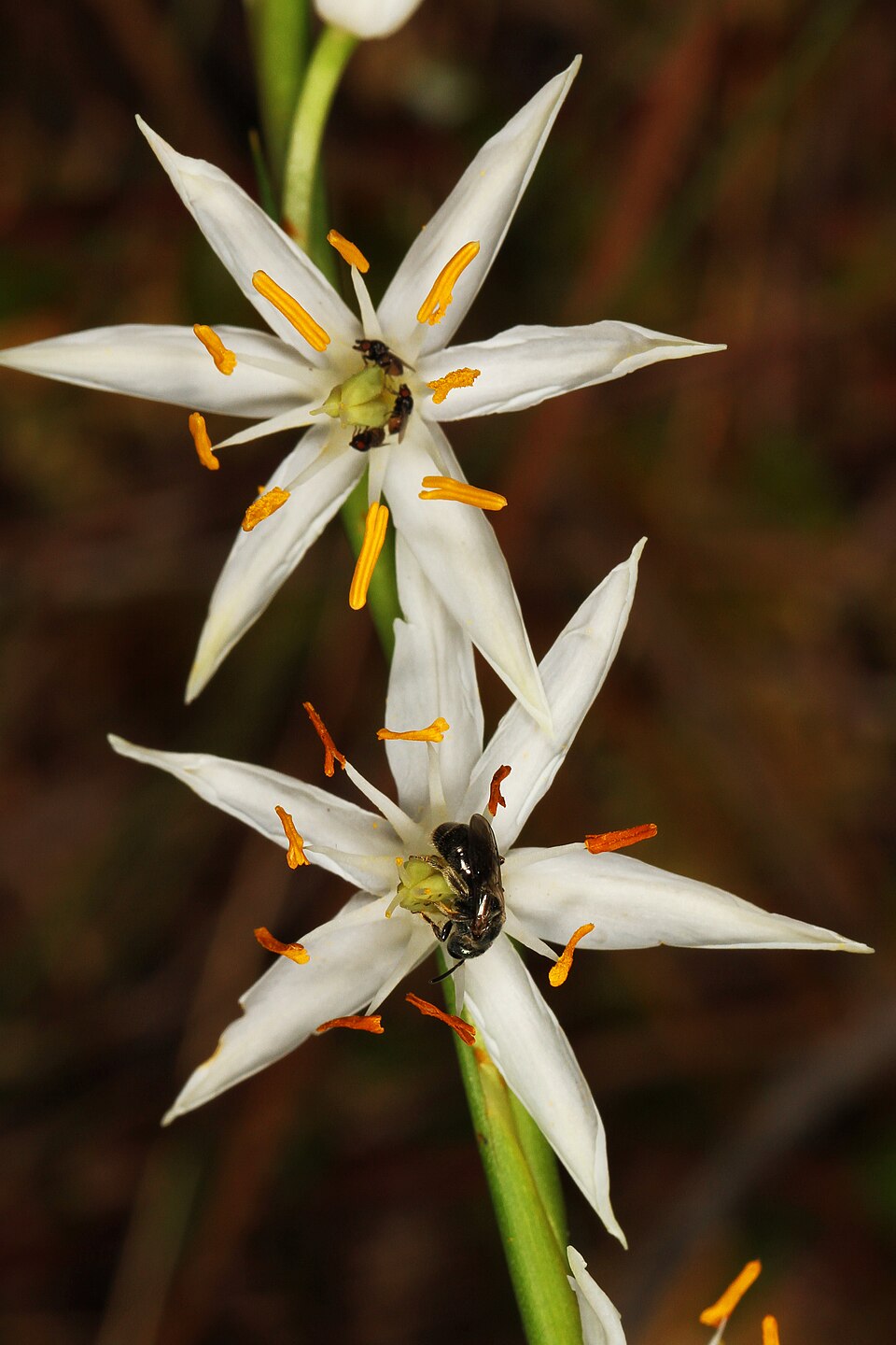
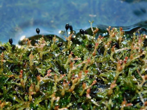
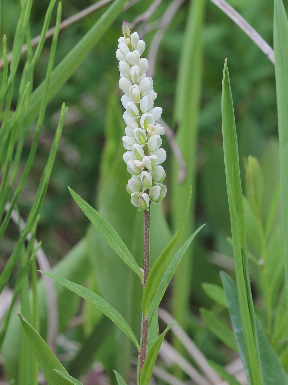
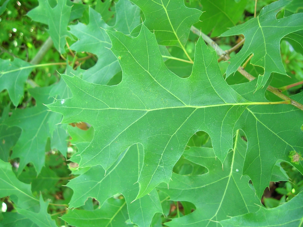
Plants 643
Plants named in NatureServe descriptions of these habitats that grow in Alabama. Shared habitat, not food.
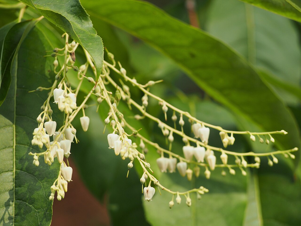
- SourwoodOxydendrum arboreum
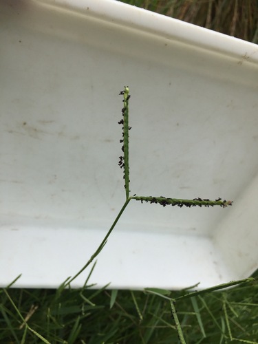
- KnotgrassPaspalum distichum
- Nashville BreadrootPediomelum subacaule
- Small's BeardtonguePenstemon smallii
- Water SmartweedPersicaria amphibia
- Arrowleaf TearthumbPersicaria sagittata
- Cedarglade Rock PinkPhemeranthus calcaricus
- Common NinebarkPhysocarpus opulifolius
- Pinguicula planifoliaPinguicula planifolia
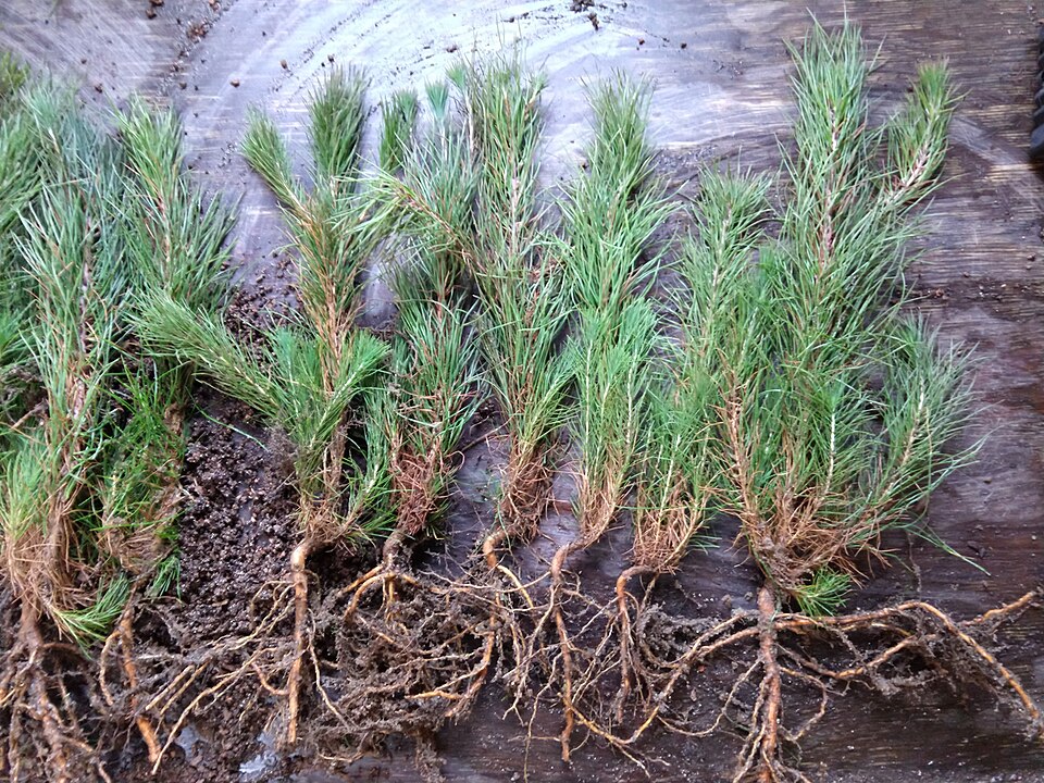
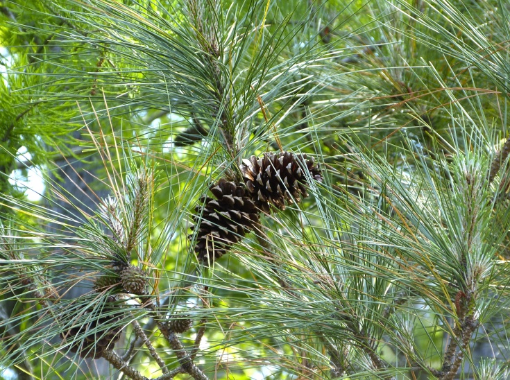
- Shortleaf PinePinus echinata
- Loblolly PinePinus taeda
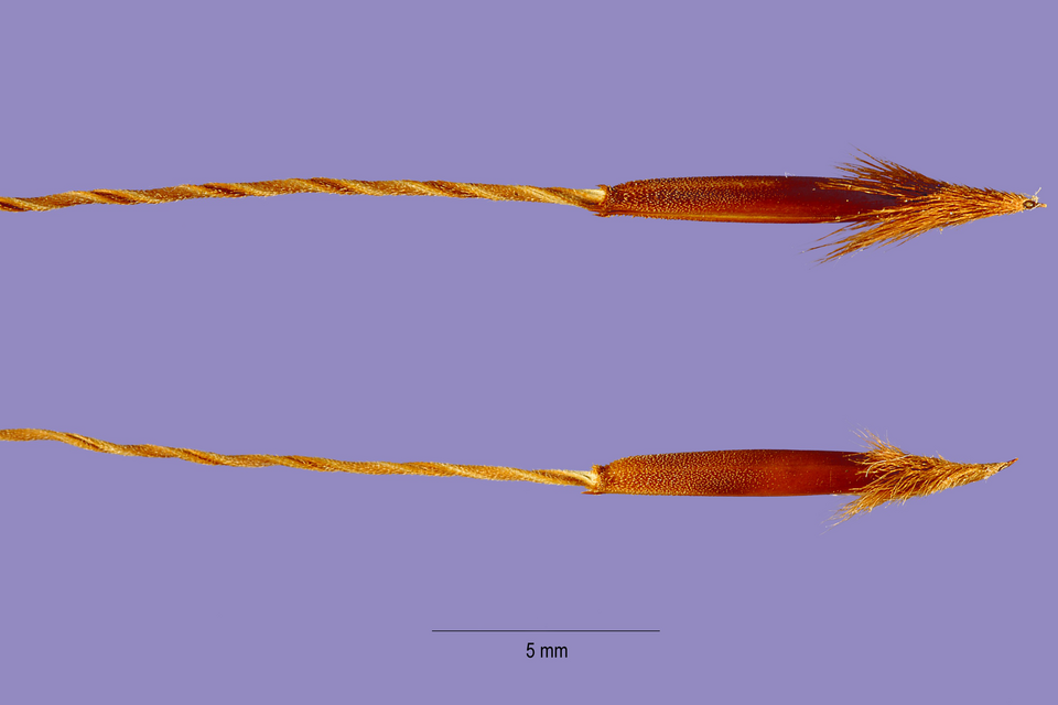
- Eastern Needle GrassPiptochaetium avenaceum
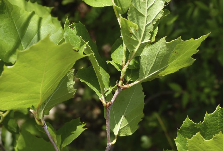
- American SycamorePlatanus occidentalis
- Rush-featherlingPleea tenuifolia
- Hornleaf RiverweedPodostemum ceratophyllum
- Seneca SnakerootPolygala senega
- Tall JointweedPolygonella gracilis
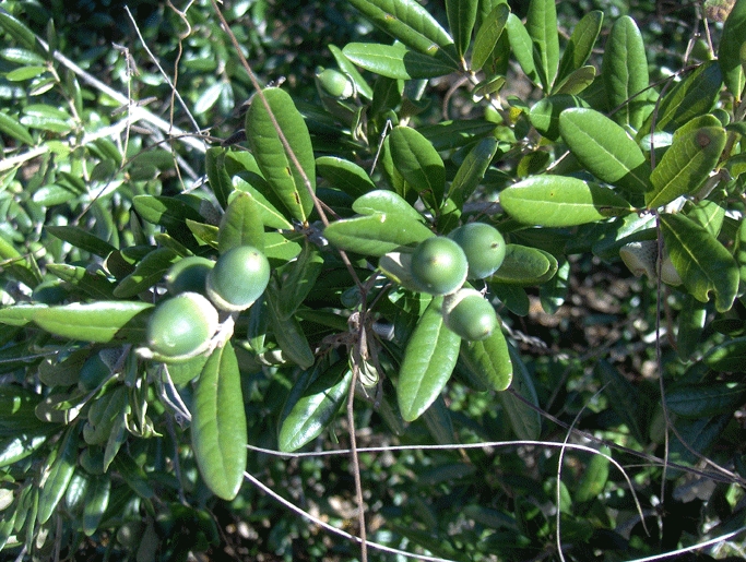
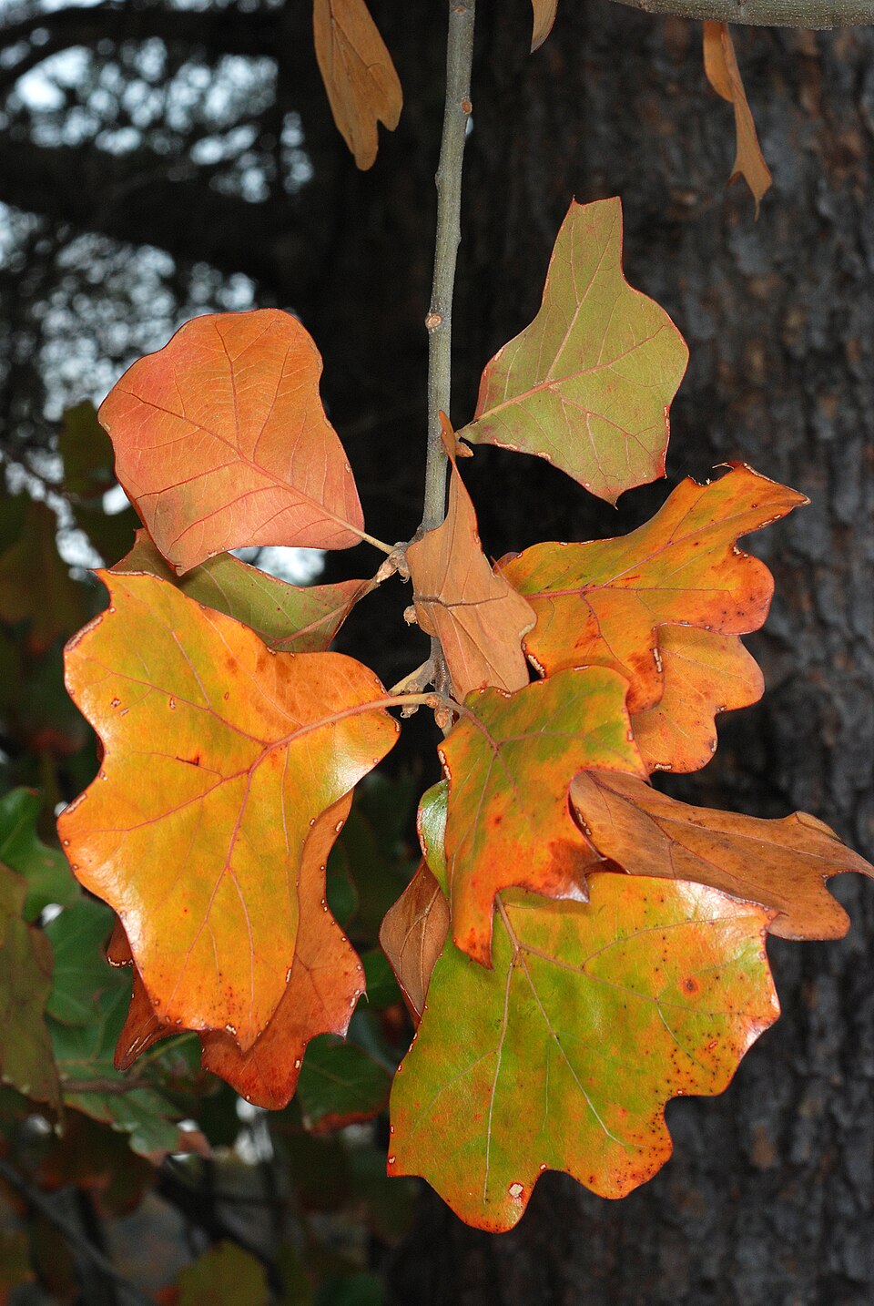
- Scarlet OakQuercus coccinea
- Sand Live OakQuercus geminata
- Blackjack OakQuercus marilandica
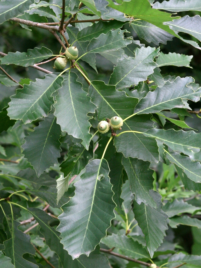
- Chinquapin OakQuercus muehlenbergii
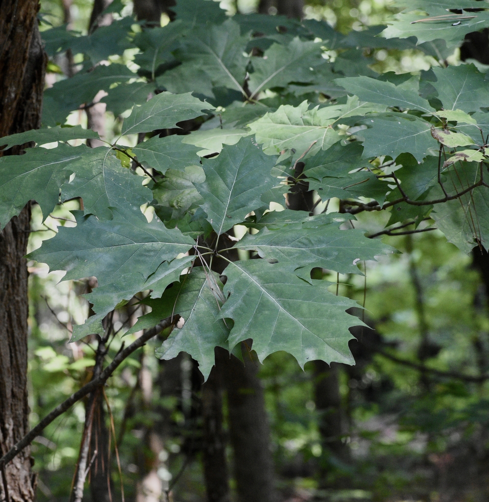
- Northern Red OakQuercus rubra
- Black OakQuercus velutina
- Live OakQuercus virginiana
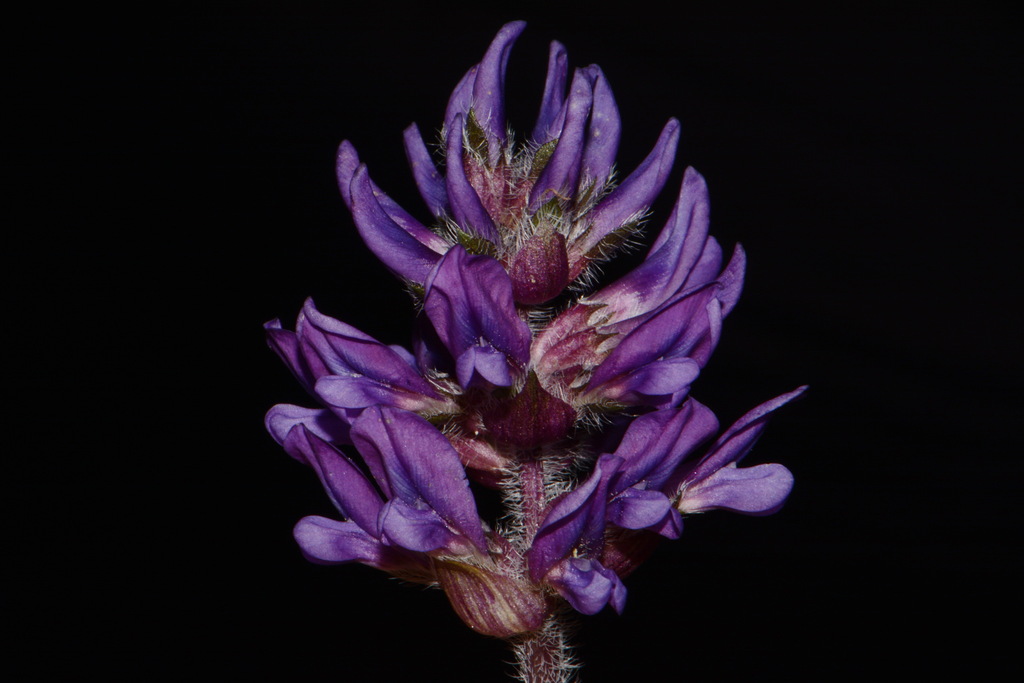
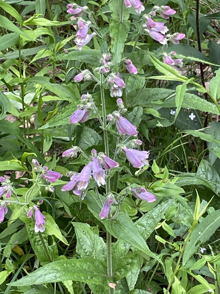
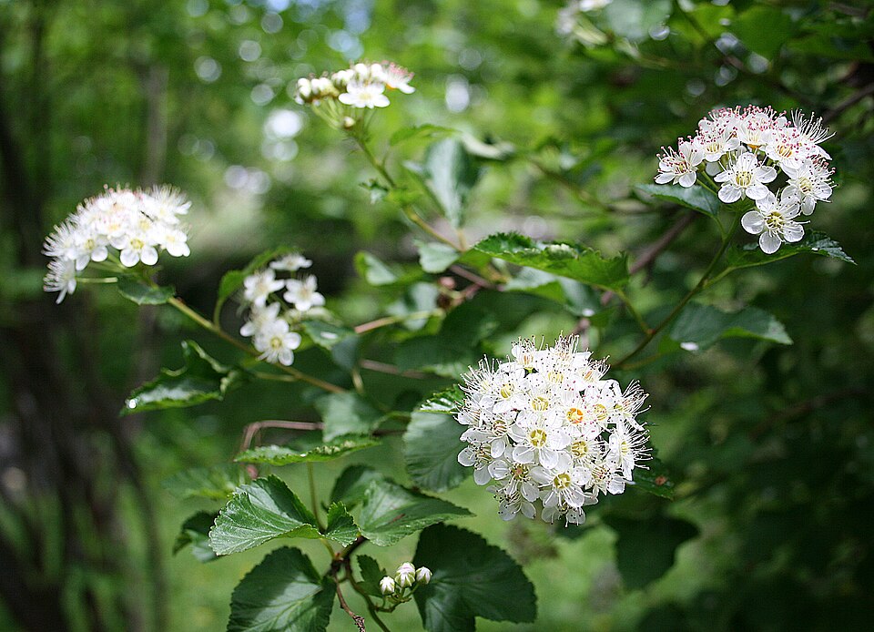
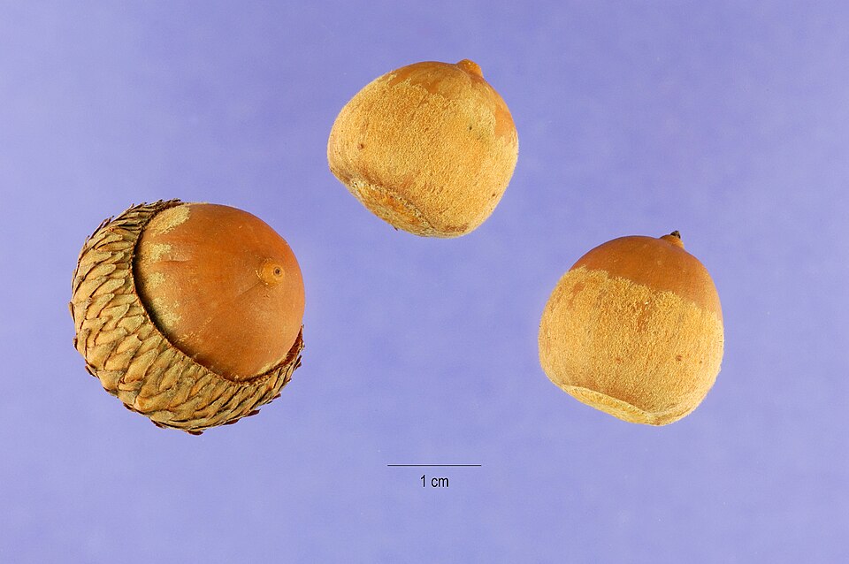
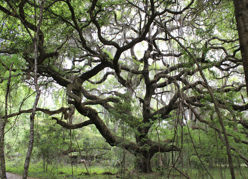
Wildlife 256
Other animals whose habitat models include the same habitats in Alabama. Not sighting records.
- Common NighthawkChordeiles minor
- Great Horned OwlBubo virginianus
- Chimney SwiftChaetura pelagica
- Eastern KingbirdTyrannus tyrannus
- European StarlingSturnus vulgaris
- Red-tailed HawkButeo jamaicensis
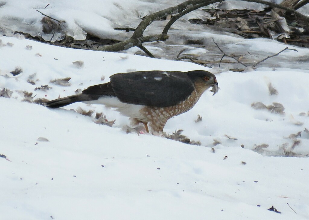
- Sharp-shinned HawkAccipiter striatus
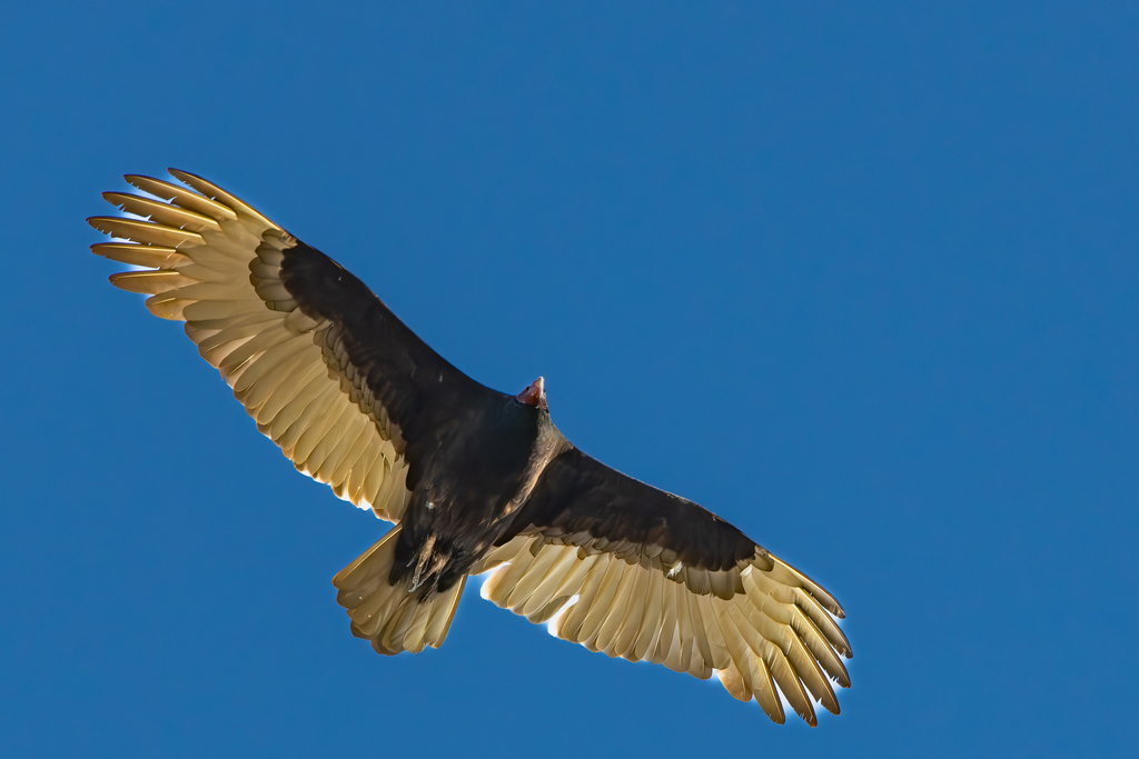
- Turkey VultureCathartes aura
- Black-crowned Night-heronNycticorax nycticorax
- Cooper's HawkAccipiter cooperii
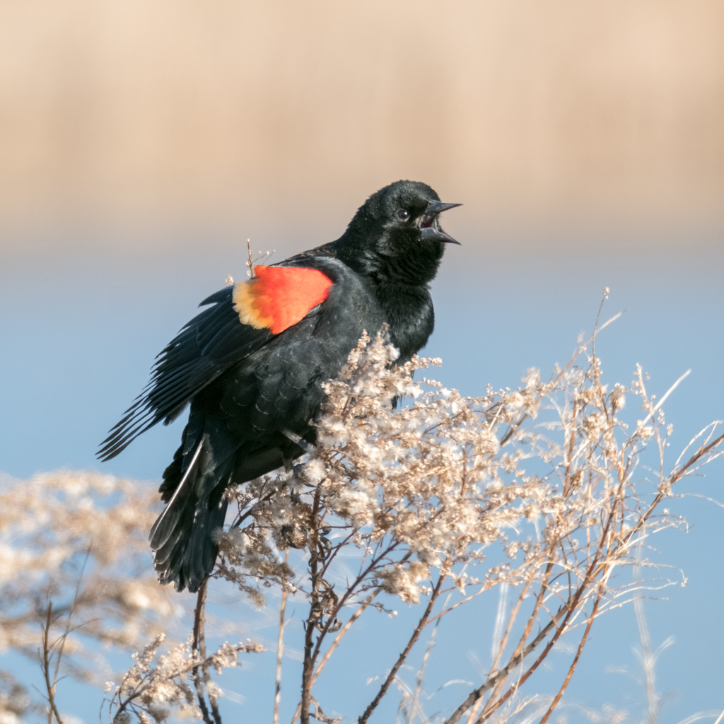
- Red-winged BlackbirdAgelaius phoeniceus
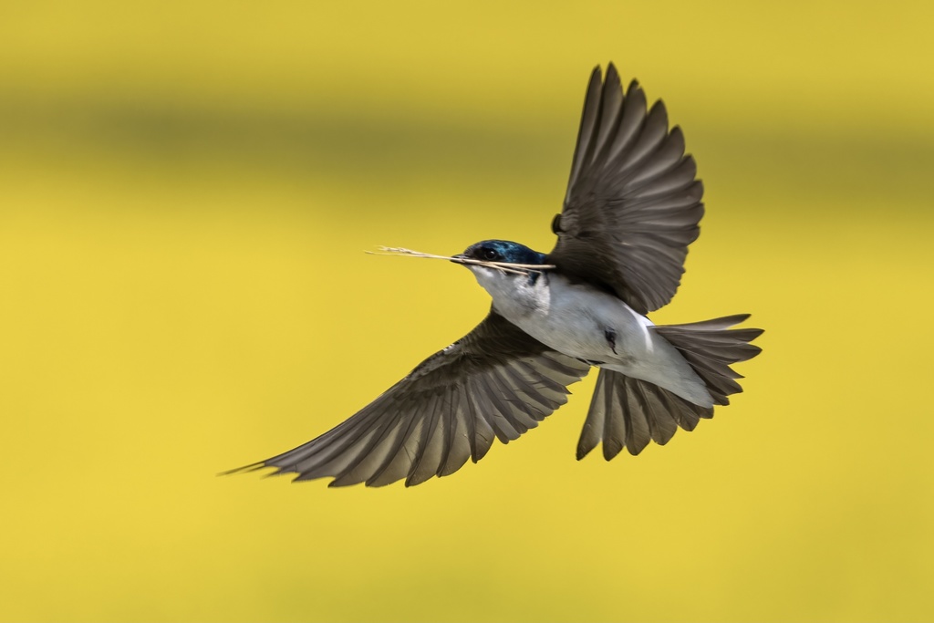
- Tree SwallowTachycineta bicolor
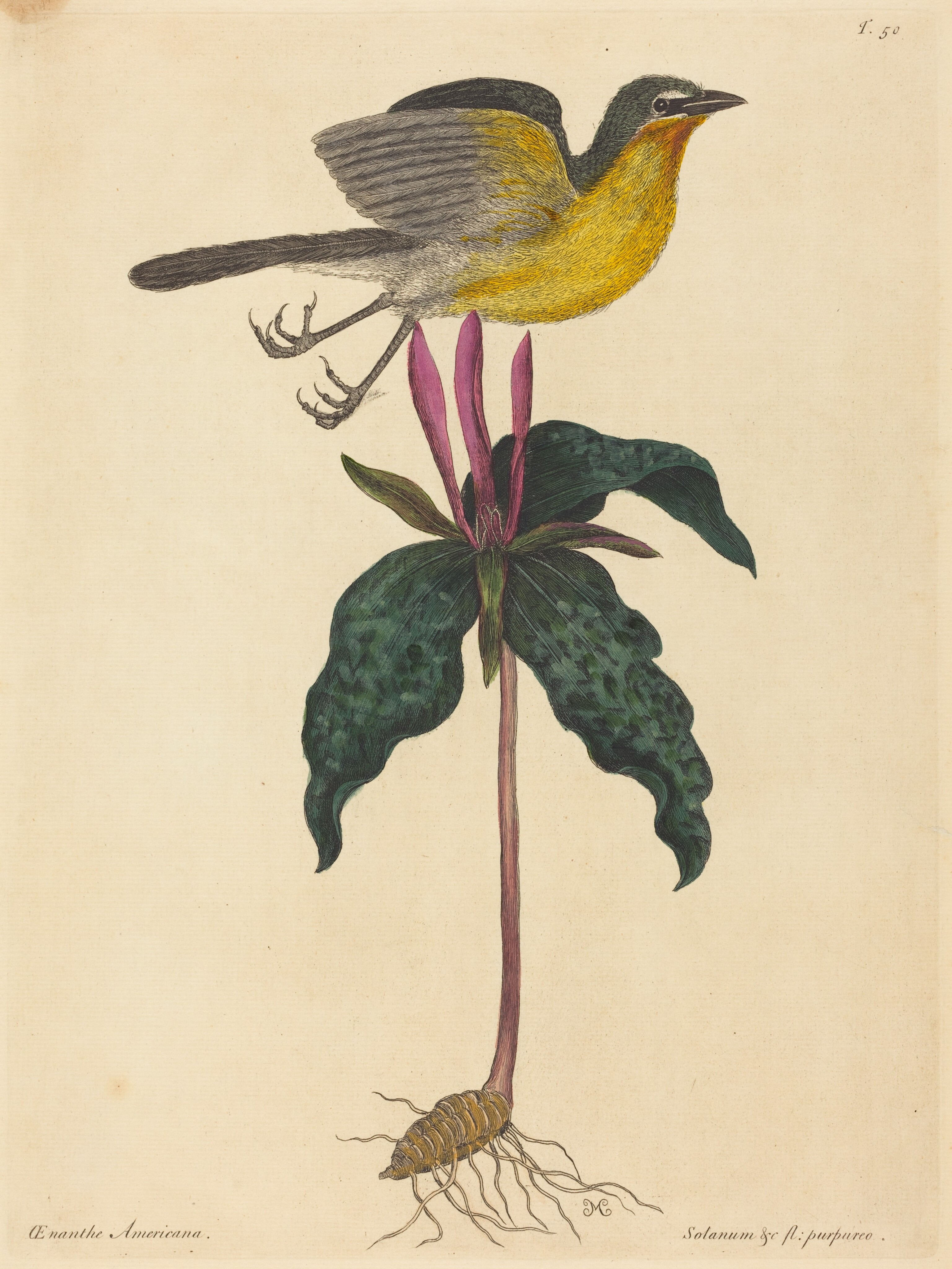
- Yellow-breasted ChatIcteria virens
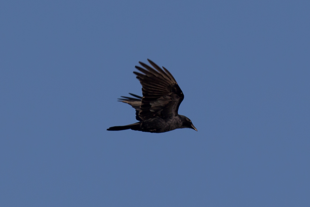
- American CrowCorvus brachyrhynchos
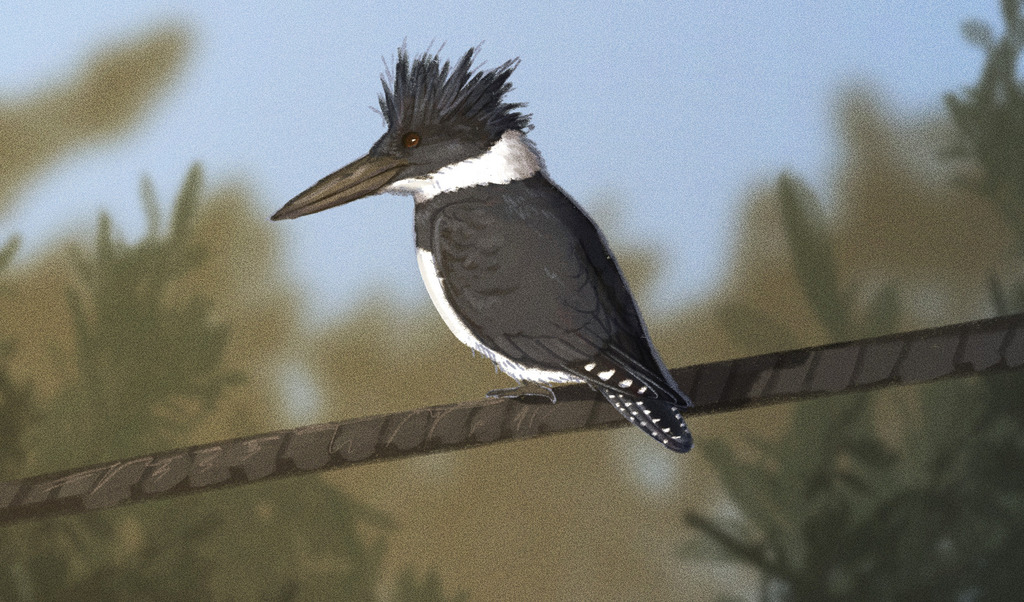
- Belted KingfisherMegaceryle alcyon
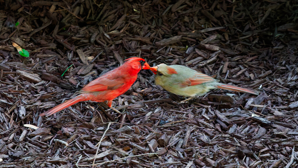
- Northern CardinalCardinalis cardinalis
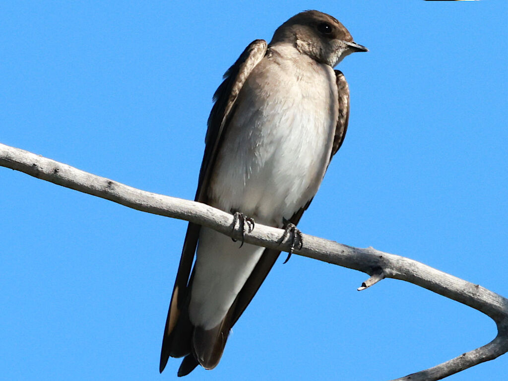
- Northern Rough-winged SwallowStelgidopteryx serripennis
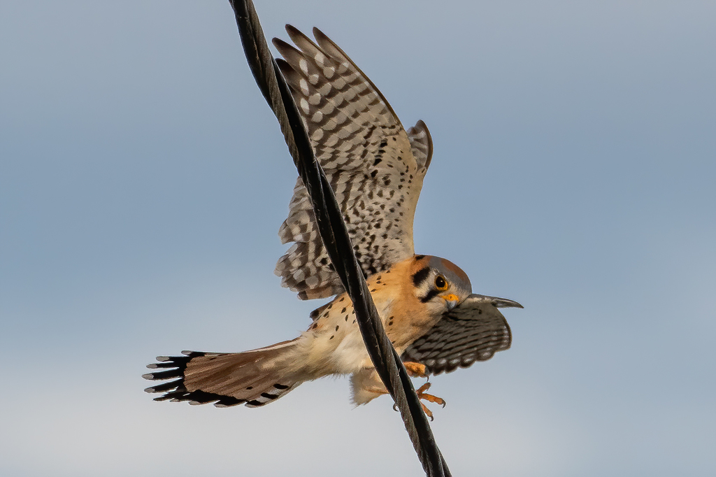
- American KestrelFalco sparverius
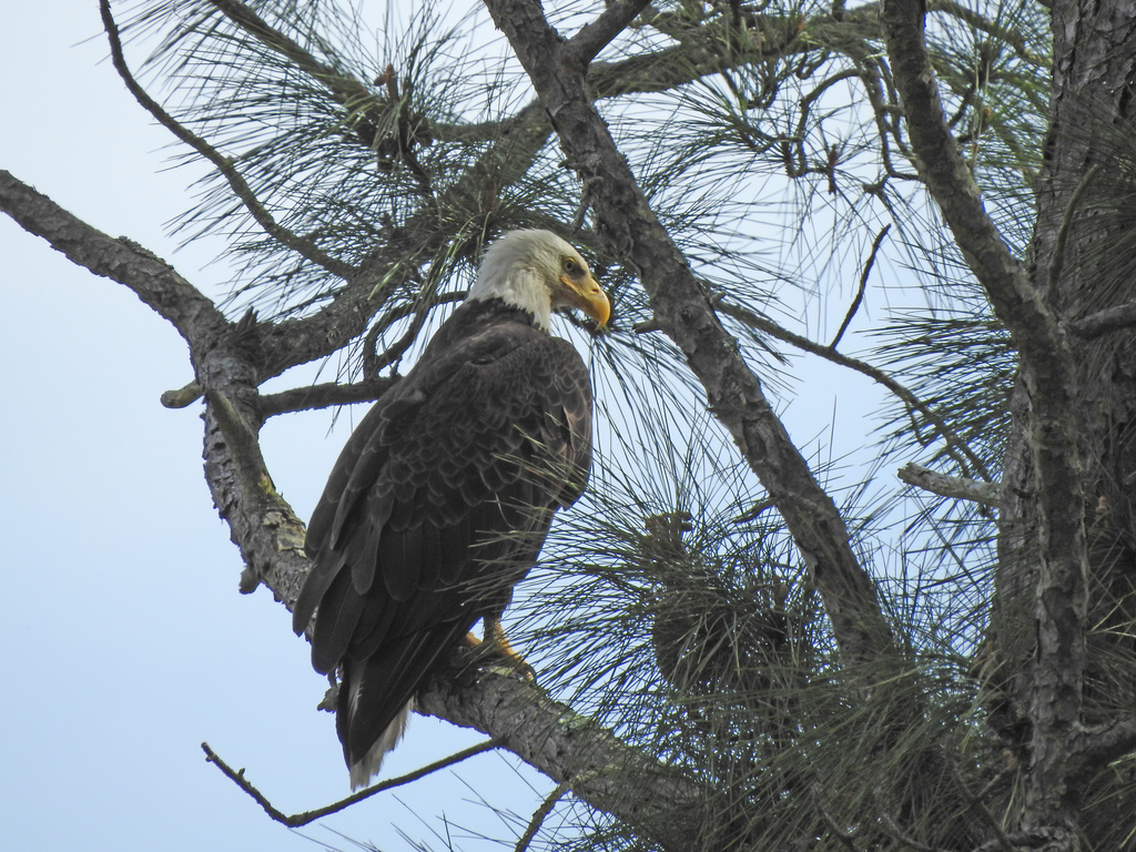
- Bald EagleHaliaeetus leucocephalus
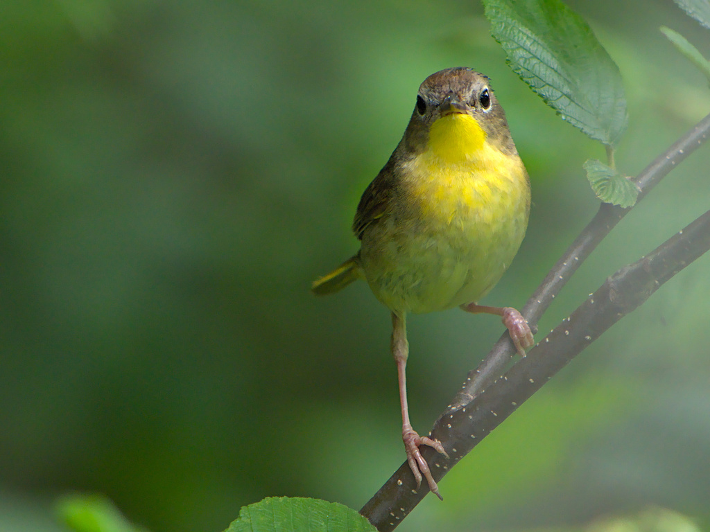
- Common YellowthroatGeothlypis trichas
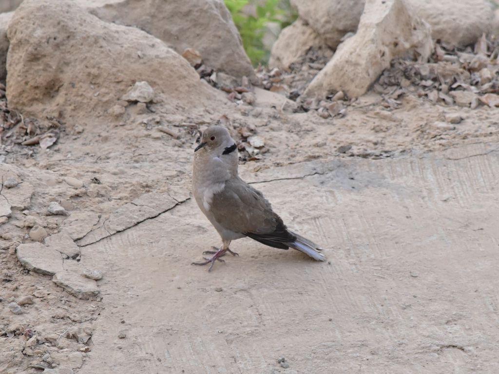
- Eurasian Collared-doveStreptopelia decaocto
- Fish CrowCorvus ossifragus
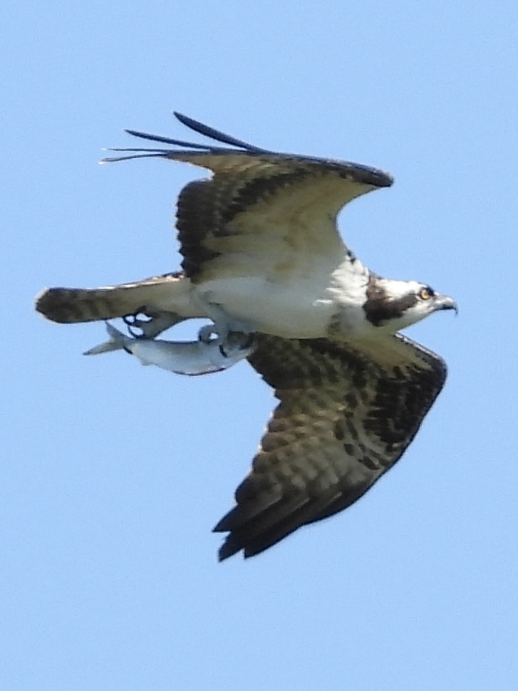
- OspreyPandion haliaetus
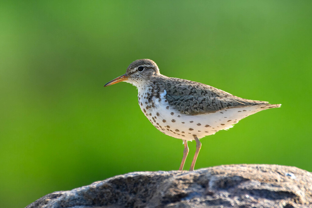
- Spotted SandpiperActitis macularius




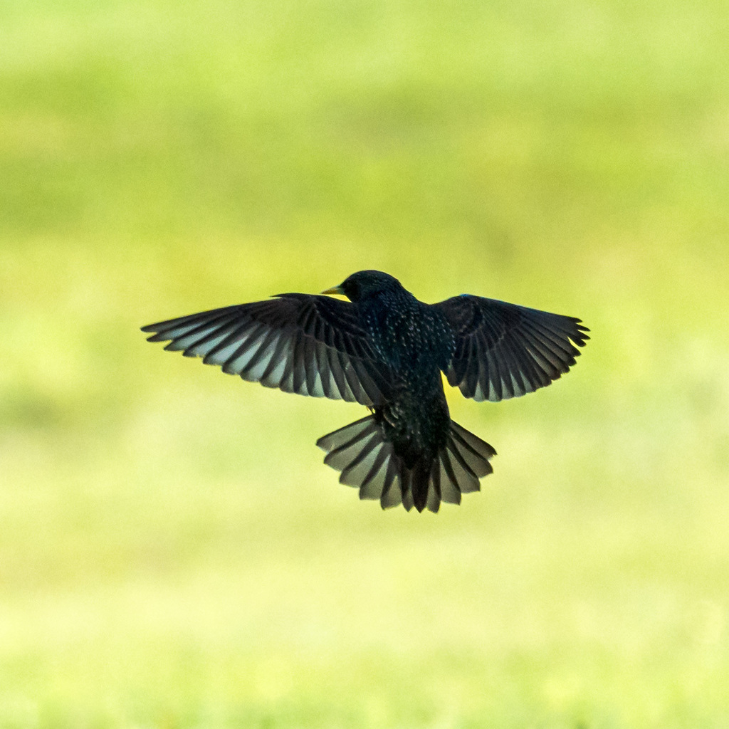
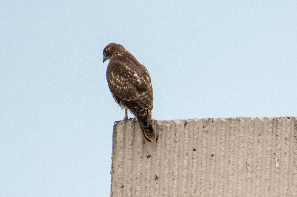



NatureServe Explorer, CC BY 4.0. USGS Gap Analysis Project habitat models.
Sources
- USGS Gap Analysis Project habitat models (2001)
- USGS GAP summer habitat model for Bank Swallow Elevation up to 2,439 m
- USGS Gap Analysis Project range maps (2001), modeled by watershed; migratory gives no dates
- NatureServe Explorer (CC BY 4.0), habitat names
- US Census TIGER/Line counties
- Names follow the USGS Gap Analysis Project (2001)